The best cycling routes around Celico
4.5
(156)
1,699
riders
145
rides
Touring cycling around Celico offers diverse landscapes, from the mountainous Sila plateau to the shores of Lake Cecita. The region is characterized by significant elevation changes, dense forests, and rural districts. Situated at an average altitude of approximately 800 meters, Celico provides access to a network of routes that traverse varied terrain.
Best touring cycling routes around Celico
- The most popular touring cycling route is Lake Cecita – Lago di Cecita loop from Fiume Mucone, a 24.3 miles (39.1…
Last updated: August 17, 2026
5.0
(6)
36
riders
39.3km
02:36
470m
470m
Hard bike ride. Very good fitness required. You may need to push your bike for some segments of this route.
9
riders
43.9km
03:09
770m
770m
Hard bike ride. Very good fitness required. Mostly paved surfaces. Suitable for all skill levels.

Sign up for free
5.0
(1)
10
riders
21.7km
01:42
630m
630m
Hard bike ride. Very good fitness required. Mostly paved surfaces. Suitable for all skill levels.
9
riders
67.6km
05:08
1,700m
1,700m
Hard bike ride. Very good fitness required. Mostly paved surfaces. Suitable for all skill levels.
7
riders
Easy bike ride. Great for any fitness level. Mostly paved surfaces. Suitable for all skill levels.
Get access to more routes and recommendations from other explorers.
Sign up for free
Already have an account?
Our route recommendations are based on thousands of hikes, rides, and runs completed by other people on komoot.
Start today with a free account
Your next adventure awaits.
Login or Signup
Tips from the Community

The summit of Sila, Monte Botte Donato. The small fountain is located near the refuge, close to the cable car station
0
0
the little church, usually closed, is located at the top of the Vette road, near the Botte Donato refuge and the cable car
0
0
from the Monte Scuro refuge, the summit can be reached in a few pedal strokes.
0
0

Excellent picnic area for a packed lunch.
0
0
From the summit of Mount Botte Donato
1
0
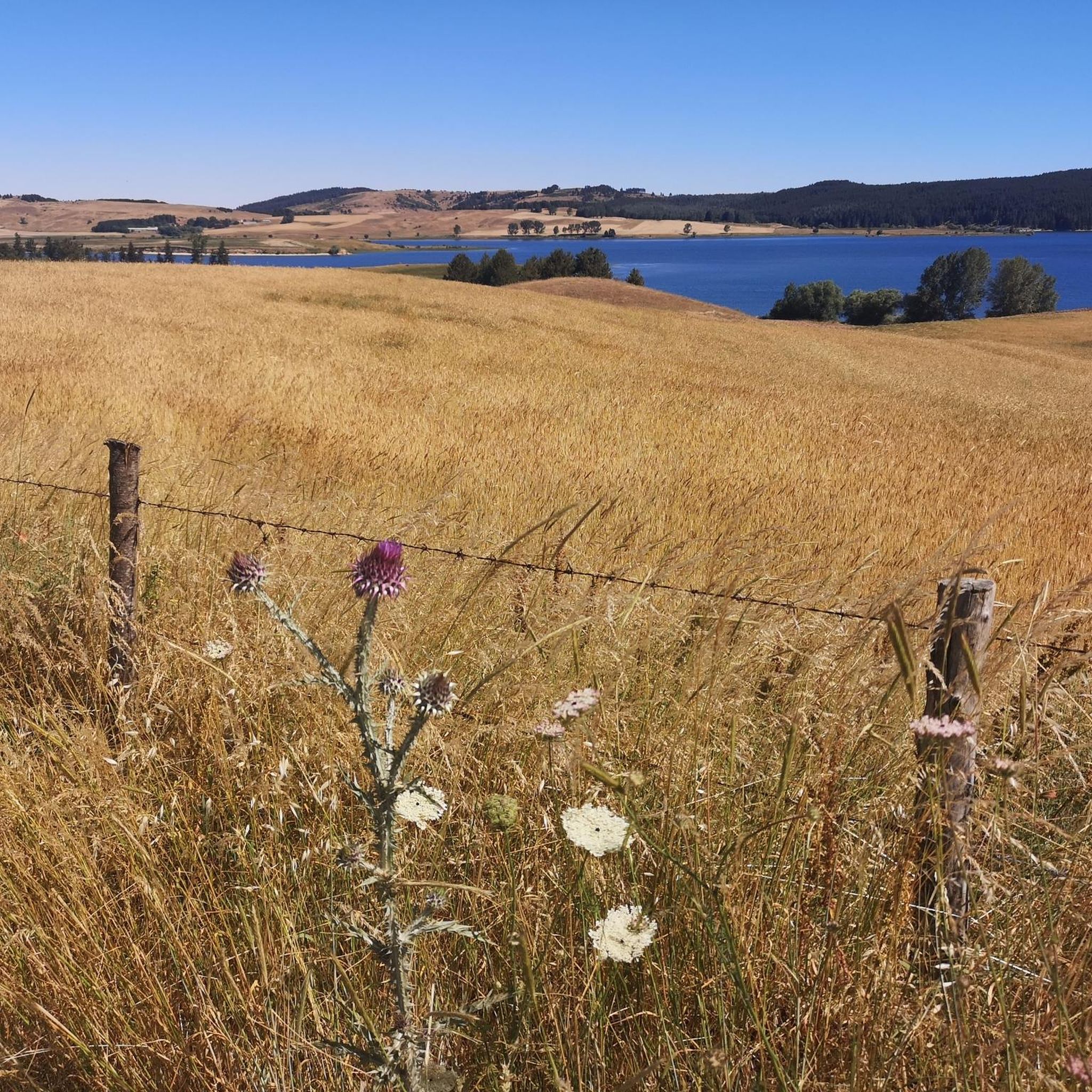
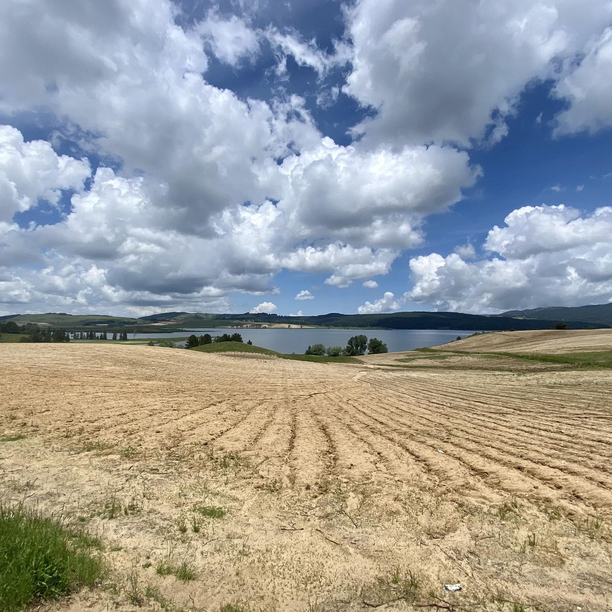
Lake Cecita, in the splendid panorama of the Sila
0
0
Lake Cecita is one of the artificial basins that has adapted best to the Sila landscape
0
0
water fountain on the road to the Montescuro pass
0
0
Frequently Asked Questions
How many touring cycling routes are available around Celico?
There are over 130 touring cycling routes in and around Celico. These routes offer a diverse range of experiences, from challenging mountain climbs to scenic loops around Lake Cecita.
What are the general difficulty levels for touring cycling routes in Celico?
The routes around Celico cater to various skill levels, though many are quite challenging. You'll find approximately 7 easy routes, 29 moderate routes, and over 100 difficult routes, often featuring significant elevation changes characteristic of the mountainous Sila plateau.
What kind of terrain can I expect on touring cycling routes around Celico?
Touring cycling in Celico is defined by its diverse terrain. You can expect mountainous roads, sections traversing the Sila plateau with its dense forests, and picturesque routes circling Lake Cecita. The region's average altitude of 800 meters means many routes include notable climbs and descents.
Are there any circular touring cycling routes around Celico?
Yes, many routes in the Celico area are designed as loops, offering a complete circular journey. For example, the popular Lake Cecita – Lago di Cecita loop from Fiume Mucone and the more challenging Lake Cecita – Lake Cecita loop from Campo San Lorenzo both provide extensive views of the lake and its surroundings.
What natural features can I see along touring cycling routes in Celico?
The region is rich in natural beauty. Many routes will take you past stunning natural features such as Lake Cecita, the vast I Giganti della Sila Nature Reserve with its ancient trees, and various viewpoints offering panoramic vistas, including a high-altitude section in the Sila park. You might also encounter other lakes like Lago Ariamacina and Macchialonga Pond.
Are there any historical landmarks or cultural sites accessible by touring bike in Celico?
Yes, while cycling, you can encounter several historical and cultural sites. Within Celico itself, you might pass the San Michele Parish Church (dating back to the ninth century) and the Mother Church of S. Nicola di Bari (from the 16th century). The Church of the Assumption, built on the birthplace of Abbot Gioacchino da Fiore, is also noteworthy. The Museum of Rural Traditions of the Silano Plateau offers insight into the area's heritage.
What is the best time of year for touring cycling in Celico?
Celico's mountainous location means that spring, summer, and early autumn generally offer the most pleasant conditions for touring cycling. These seasons provide milder temperatures and less chance of snow, allowing full access to the Sila plateau and its diverse routes. Always check local weather forecasts before heading out.
Are there any easy touring cycling routes suitable for beginners in Celico?
While many routes are challenging, there are a few easier options. Approximately 7 routes are classified as easy, offering less demanding terrain and elevation. These are ideal for those new to touring cycling or looking for a more relaxed ride through the scenic landscapes.
What do other touring cyclists enjoy the most about touring cycling in Celico?
The area is highly rated by the komoot community, with an average score of 4.5 stars from over 150 reviews. Reviewers often praise the diverse landscapes, from the serene lake views to the challenging mountain passes, and the immersive experience within the Sila plateau's natural beauty.
Are there any challenging touring cycling routes for experienced riders?
Absolutely. Celico is known for its challenging routes, with over 100 classified as difficult. An example is the Spezzano della Sila – Montescuro Pass loop from Spezzano della Sila, which covers over 50 km with significant elevation gain, leading through mountainous terrain. Another demanding option is the Montescuro Pass – Water!! loop from Rovito, offering over 66 km and substantial climbing.
Are there routes that connect Celico with nearby towns and villages?
Yes, many touring cycling routes in the region connect Celico with charming nearby towns and villages. These include places like Camigliatello Silano, Spezzano della Sila, Spezzano Piccolo, Pedace, Serra Pedace, and Rovito, allowing cyclists to experience local culture and architecture as part of their ride.
Can I find routes with significant elevation changes for a good workout?
Celico is situated in a mountainous region, so routes with significant elevation changes are common. For instance, the Spezzano della Sila – Montescuro Pass loop from Spezzano della Sila features over 1600 meters of ascent, providing an excellent challenge for those seeking a strenuous workout amidst beautiful scenery.
Most popular attractions around Celico

Get inspired with the komoot mobile app


Explore more
Browse the best Cycling routes in other regions.
