The best MTB trails around Pommersfelden
4.2
(21)
149
riders
56
rides
Mountain biking around Pommersfelden offers diverse terrain within the scenic Steigerwald Nature Park. The region features extensive forests, verdant meadows, and sun-drenched vineyards, providing varied landscapes for riders. The low mountain range includes isolated hills and river valleys, creating a mix of ascents and flowing sections. This area provides a robust network of trails suitable for different skill levels.
Best mountain bike trails around Pommersfelden
- The most popular mountain bike trail is Hotel Inn Grüner Baum – Pettstadt Ferry loop…
Last updated: June 27, 2026
5.0
(4)
19
riders
33.4km
01:44
140m
140m
Easy mountain bike ride. Great for any fitness level. Suitable for all skill levels.
5.0
(2)
9
riders
32.4km
01:55
340m
340m
Moderate mountain bike ride. Good fitness required. Suitable for all skill levels.

Sign up for free
3.0
(1)
8
riders
46.1km
02:31
260m
260m
Moderate mountain bike ride. Good fitness required. Suitable for all skill levels.
3
riders
31.4km
01:45
200m
200m
Easy mountain bike ride. Great for any fitness level. Suitable for all skill levels.
4
riders
29.4km
01:37
160m
160m
Easy mountain bike ride. Great for any fitness level. Suitable for all skill levels.
Get access to more routes and recommendations from other explorers.
Sign up for free
Already have an account?
Our route recommendations are based on thousands of hikes, rides, and runs completed by other people on komoot.
Start today with a free account
Your next adventure awaits.
Login or Signup
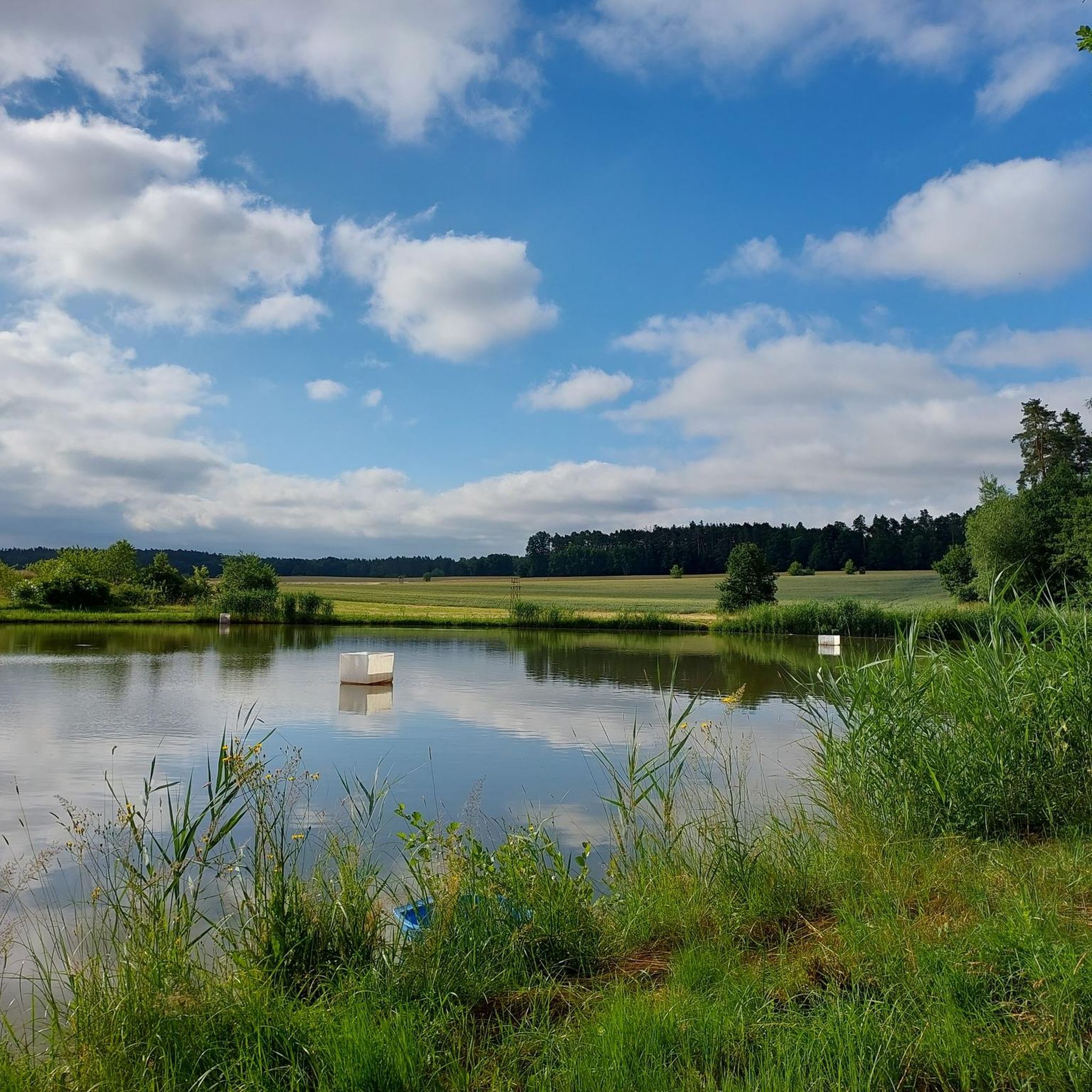
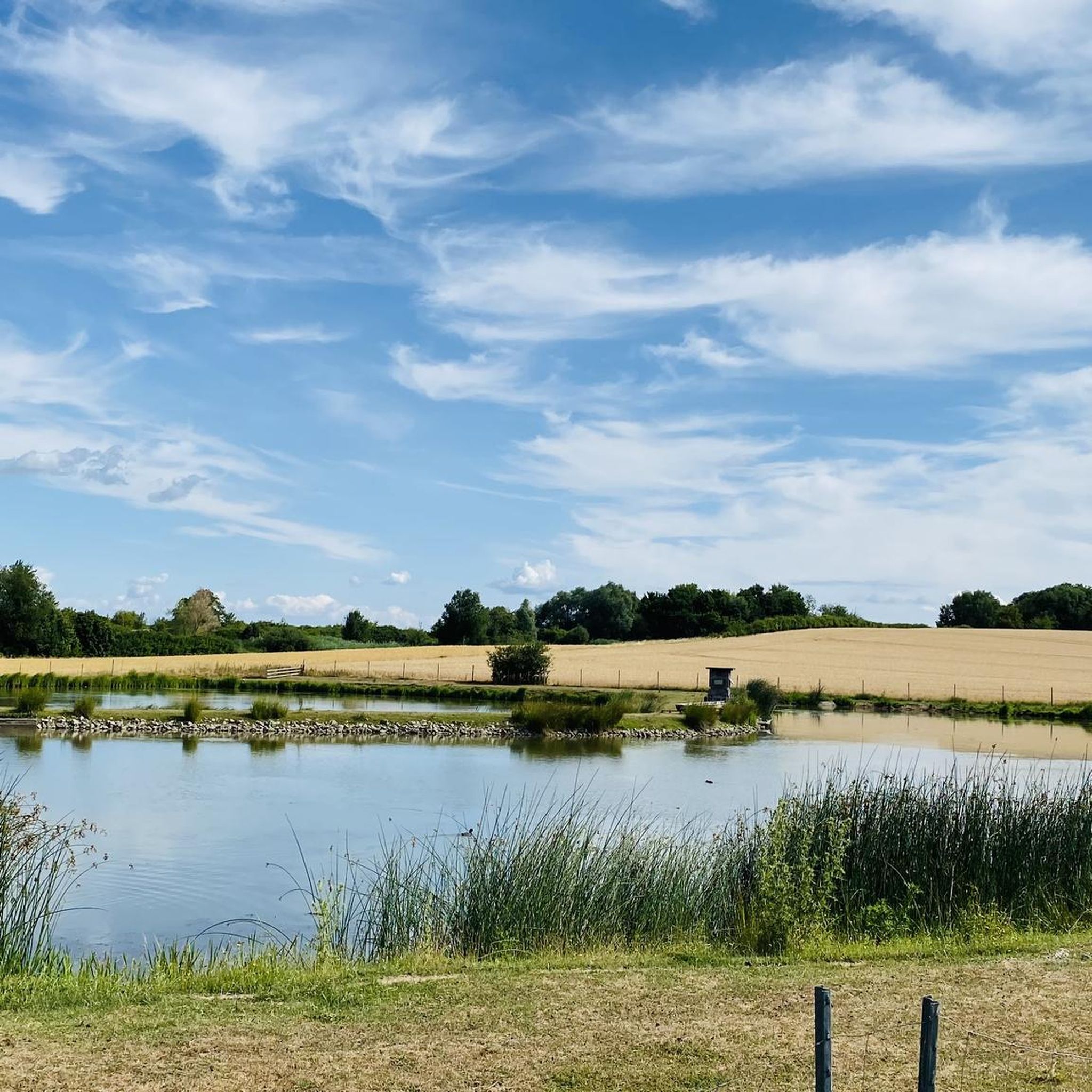
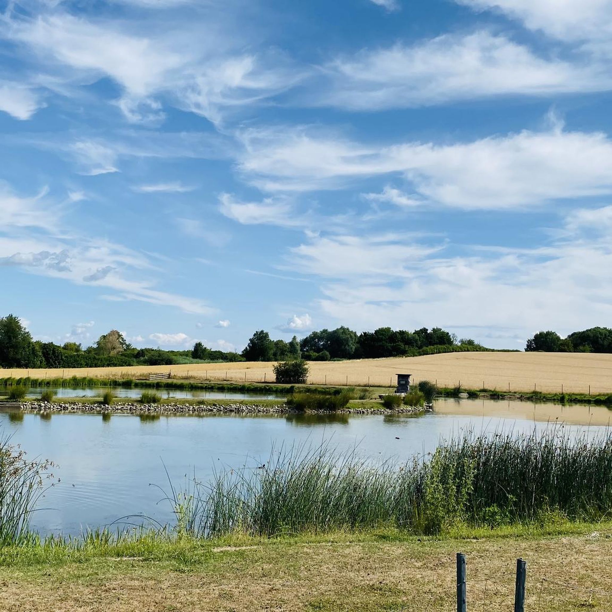

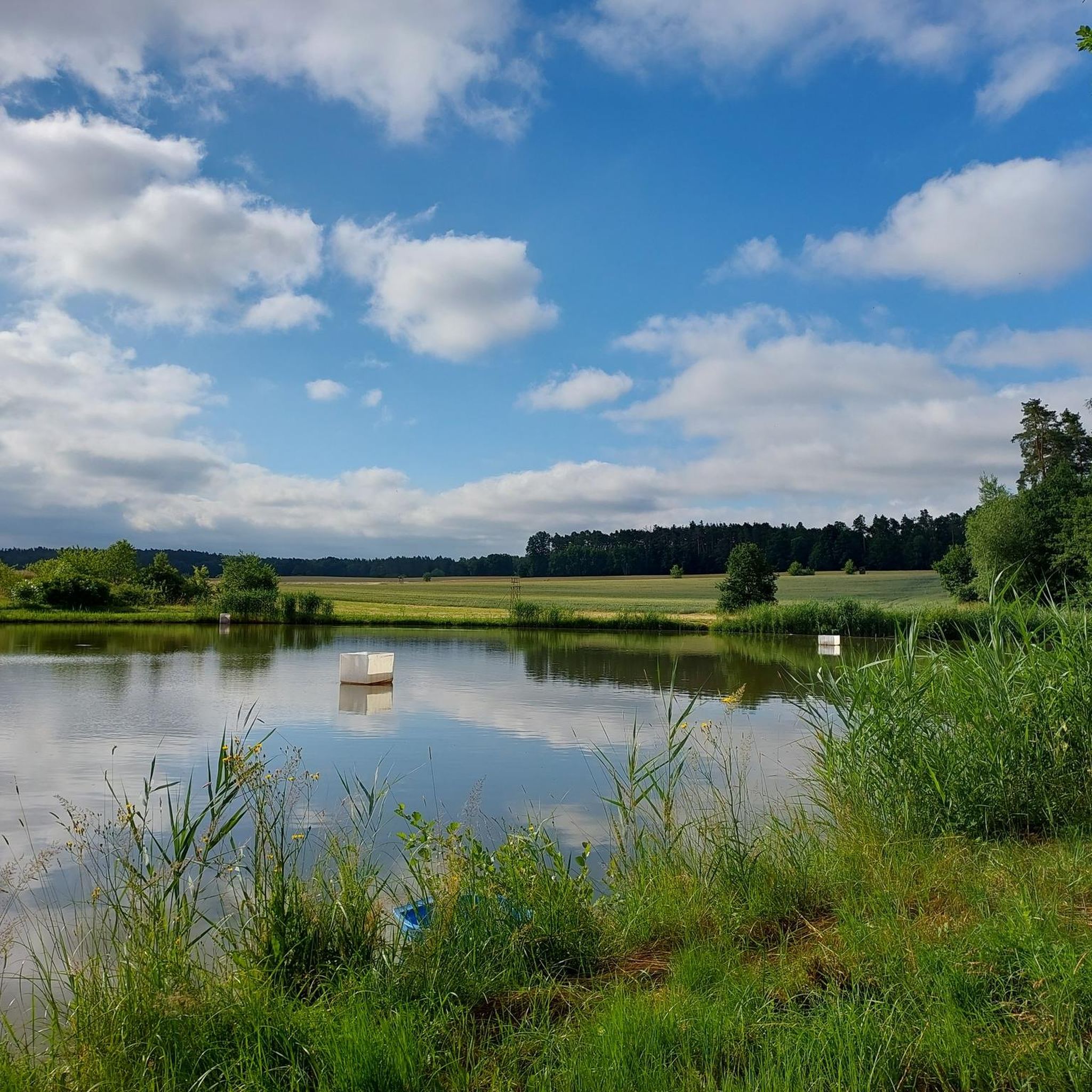
Tips from the Community

Rest stop with delicious cake and cappuccino
0
0

Beautifully developed forest path that is very easy to cycle on
0
0
Great chapel that is also very often open, so you can take a look inside.
0
0


This chapel with a bench is ideal for a rest.
3
0

Beautiful beer garden
0
0

A small chapel with a bench located on the Way of St. James.
2
0

Beautifully crafted replica. The original is located in St. James's Church.
6
0
Frequently Asked Questions
What kind of terrain can I expect on mountain bike trails around Pommersfelden?
The region around Pommersfelden, nestled within the scenic Steigerwald Nature Park, offers a diverse landscape for mountain biking. You'll encounter extensive forests, verdant meadows, and sun-drenched vineyards. The low mountain range features a mix of isolated hills and river valleys, providing both ascents and flowing sections. Expect varied surfaces from forest paths to open country trails.
Are there mountain bike trails suitable for beginners in Pommersfelden?
Yes, Pommersfelden offers a good selection of trails for beginners. Out of 56 available mountain bike routes, 22 are classified as easy. An excellent option for a gentle ride is the Hotel Inn Grüner Baum – Pettstadt Ferry loop from Pommersfelden, which is 21.5 miles (34.6 km) long and features gentle gradients through varied natural scenery.
Are there more challenging mountain bike trails for experienced riders?
Absolutely. For those seeking more demanding rides, Pommersfelden has 33 moderate and 1 difficult mountain bike trail. A popular moderate route is the Steep ramp – Schlenkerla Rauchbier Brewery loop from Sambach, a 20.2-mile (32.5 km) path that includes challenging climbs and descents through wooded areas.
What are some notable natural features or viewpoints I might encounter while mountain biking?
The Steigerwald Nature Park is rich in natural beauty. You can expect to see vast beech forests, including some of Germany's oldest beech trees, as well as streams, wide meadows, river valleys, and ponds. The area also offers stunning panoramic views of the wooded low mountain range and sun-drenched vineyards. For specific viewpoints, consider visiting View of Buger Spitze.
Are there any attractions or landmarks near the mountain bike trails?
Beyond the trails, the region offers several points of interest. You can explore historical sites like the Cistercian abbey in Ebrach or the historic village church and old moated castle (Wasserschloss) in Pommersfelden itself. For unique natural sights, consider the Hainweiher Pond in Bamberg's Bürgerpark or the Gottesgab Fish Ponds. The Frensdorf natural bathing lake is also nearby.
What do other mountain bikers enjoy most about the trails in Pommersfelden?
The mountain bike trails around Pommersfelden are highly rated by the komoot community, with an average score of 4.3 stars from over 10 reviews. Riders often praise the diverse terrain, the scenic beauty of the Steigerwald Nature Park, and the variety of routes available for different skill levels, from easy loops to more challenging paths through forests and open countryside.
Are there any circular mountain bike routes available?
Yes, many of the mountain bike routes around Pommersfelden are designed as loops, allowing you to start and finish at the same point. For example, the Allee Café Pommersfelden – Unterharnsbach Pond loop from Pommersfelden is an easy 19.5-mile (31.4 km) circular route, perfect for exploring the local area.
Can I find trails that pass by water features like waterfalls or lakes?
Yes, the region features several water bodies. The Hammermühle Waterfall – Schlüsselfeld Market Square loop from Sambach is a 28.7-mile (46.1 km) trail that leads through forests and open countryside, passing by the Hammermühle Waterfall. Additionally, there are several ponds and lakes in the vicinity, such as the Mill Pond.
Are there family-friendly mountain bike trails in the area?
Yes, with 22 easy routes available, there are plenty of options for families. These trails typically feature gentle gradients and less technical terrain, making them suitable for riders of varying ages and skill levels. The Allee Café Pommersfelden – Haid Chapel loop from Sambach is another easy option, covering 18.2 miles (29.4 km) through pleasant landscapes.
What is the best time of year for mountain biking in Pommersfelden?
The Steigerwald Nature Park is beautiful throughout much of the year. Spring and autumn offer pleasant temperatures and vibrant scenery, with blooming wildflowers or colorful foliage. Summer is also popular, though it can be warmer. Winter riding is possible, but conditions may vary, with potential for snow or ice on trails, especially in forested areas.
Are there places to eat or stay near the mountain bike trails?
Pommersfelden and the surrounding charming towns like Bad Windsheim, Castell, Ebrach, and Gerolzhofen offer various options for accommodation, cafes, and pubs. Many routes, such as the Hotel Inn Grüner Baum – Pettstadt Ferry loop from Pommersfelden, start or pass by establishments where you can refuel after your ride.
How many mountain bike trails are there in total around Pommersfelden?
There are 56 mountain bike trails available around Pommersfelden, offering a wide range of options for different skill levels and preferences. This robust network ensures there's always a new path to explore within the scenic Steigerwald Nature Park.
Most popular routes around Pommersfelden
Most popular attractions around Pommersfelden

Get inspired with the komoot mobile app


Explore more
Browse the best MTB trails in other regions.
