The best road cycling routes around Pölstal
4.7
(36)
1,068
riders
36
rides
Road cycling routes around Pölstal offer diverse terrain, from gentle valley rides along the Pöls River to more challenging ascents into the surrounding mountains. The region features rolling hills, lush meadows, and a dramatic backdrop of higher peaks, providing varied landscapes for cyclists. This area in the Murtal district of Styria, Austria, is characterized by its mix of lower elevations and more strenuous climbs, making it suitable for different road cycling abilities.
Best road cycling routes around Pölstal
- The most…
Last updated: July 9, 2026
5.0
(2)
46
riders
96.2km
04:50
1,430m
1,430m
Hard road ride. Very good fitness required. Mostly well-paved surfaces and easy to ride.
25
riders
37.7km
01:39
240m
240m
Easy road ride. Great for any fitness level. Mostly well-paved surfaces and easy to ride.

Sign up for free
5.0
(2)
19
riders
32.8km
02:15
920m
920m
Hard road ride. Very good fitness required. Mostly well-paved surfaces and easy to ride.
12
riders
42.5km
02:04
550m
550m
Moderate road ride. Good fitness required. Mostly well-paved surfaces and easy to ride.
14
riders
Moderate road ride. Good fitness required. Mostly well-paved surfaces and easy to ride.
Get access to more routes and recommendations from other explorers.
Sign up for free
Already have an account?
Our route recommendations are based on thousands of hikes, rides, and runs completed by other people on komoot.
Start today with a free account
Your next adventure awaits.
Login or Signup
Popular around Pölstal

Central Alps Trail Eastern Section – Discover Austria
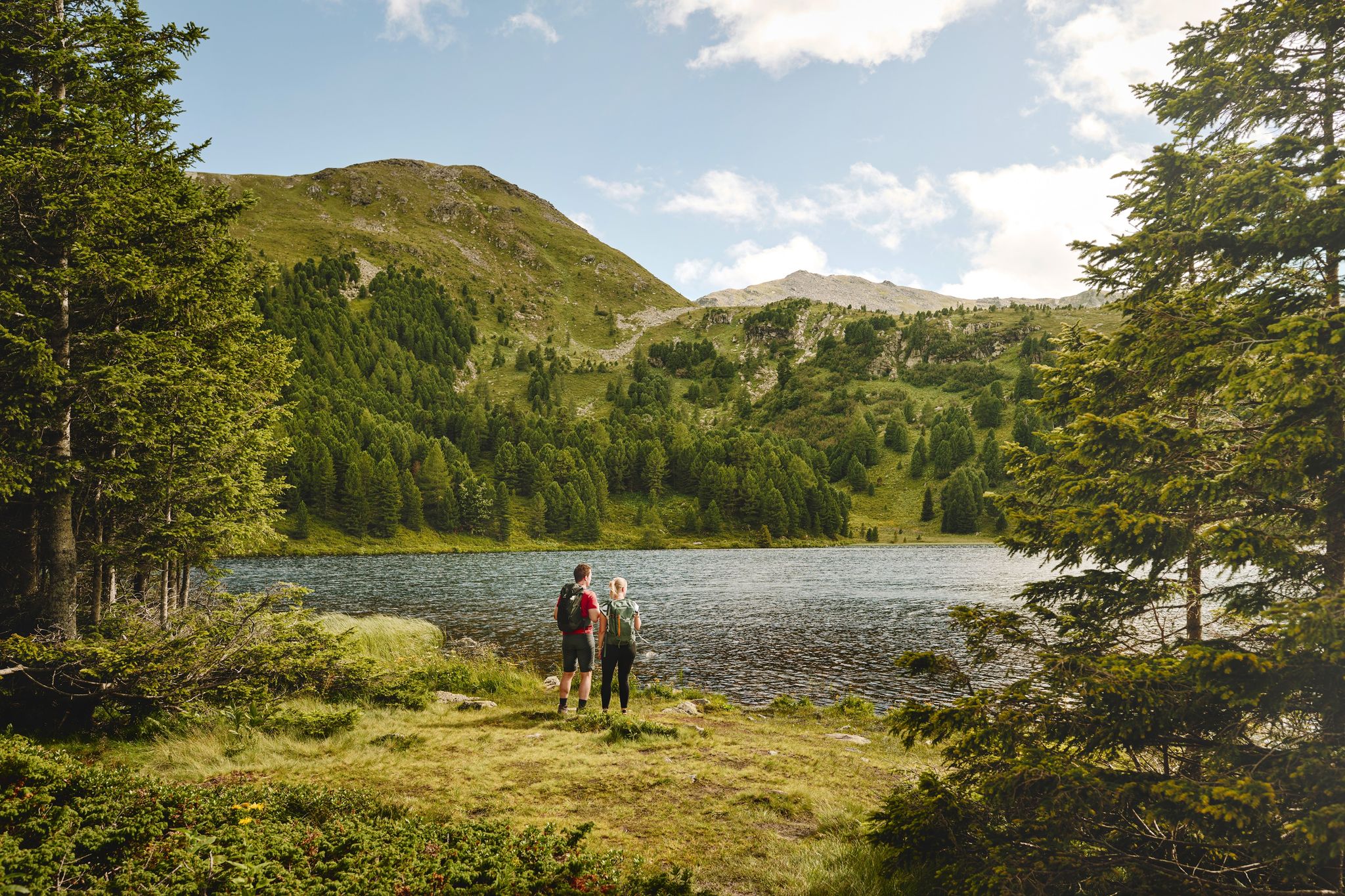
The sound of Swiss pines in the Murtal region
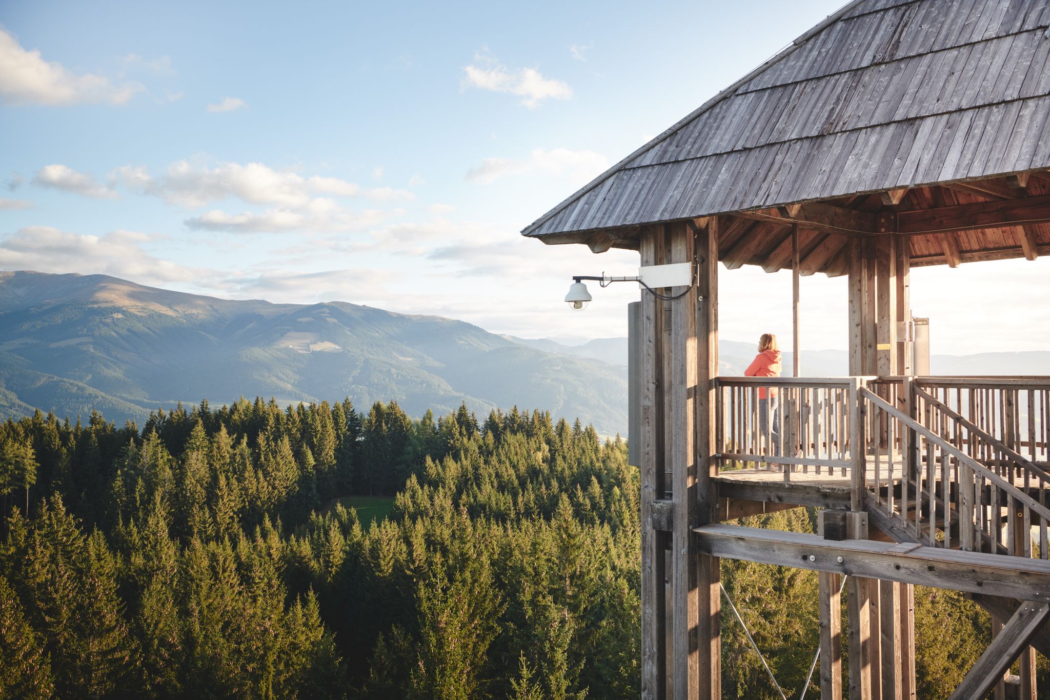
Feel the heartbeat — 12 hikes in the Murtal adventure region
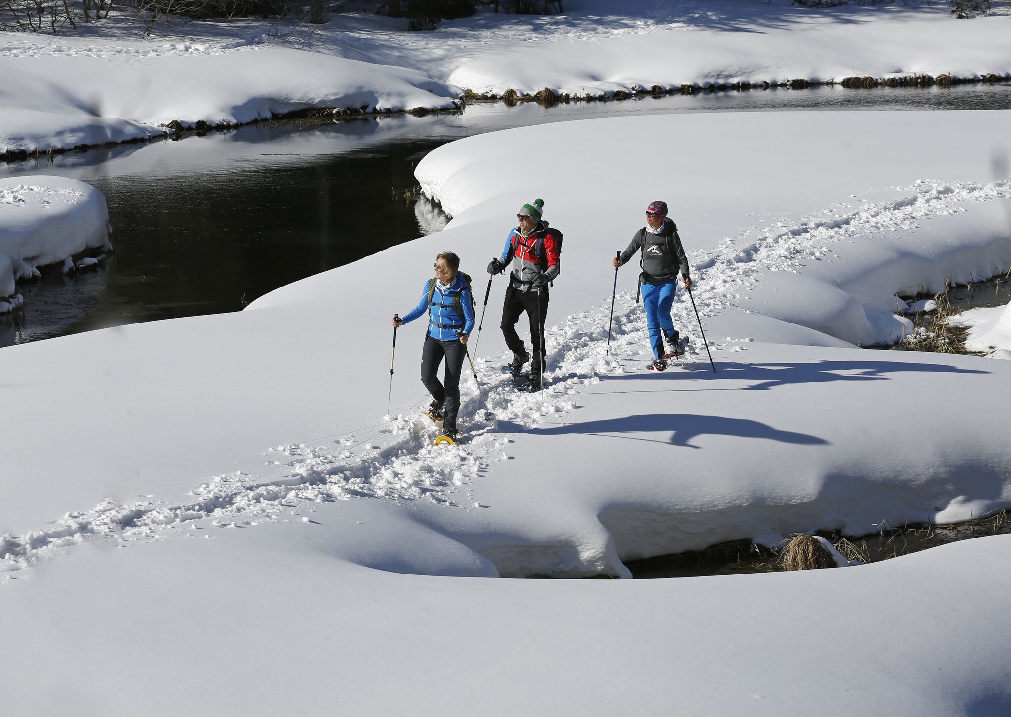
Boundless Austrian winterlust — snowshoeing in the Mur Valley
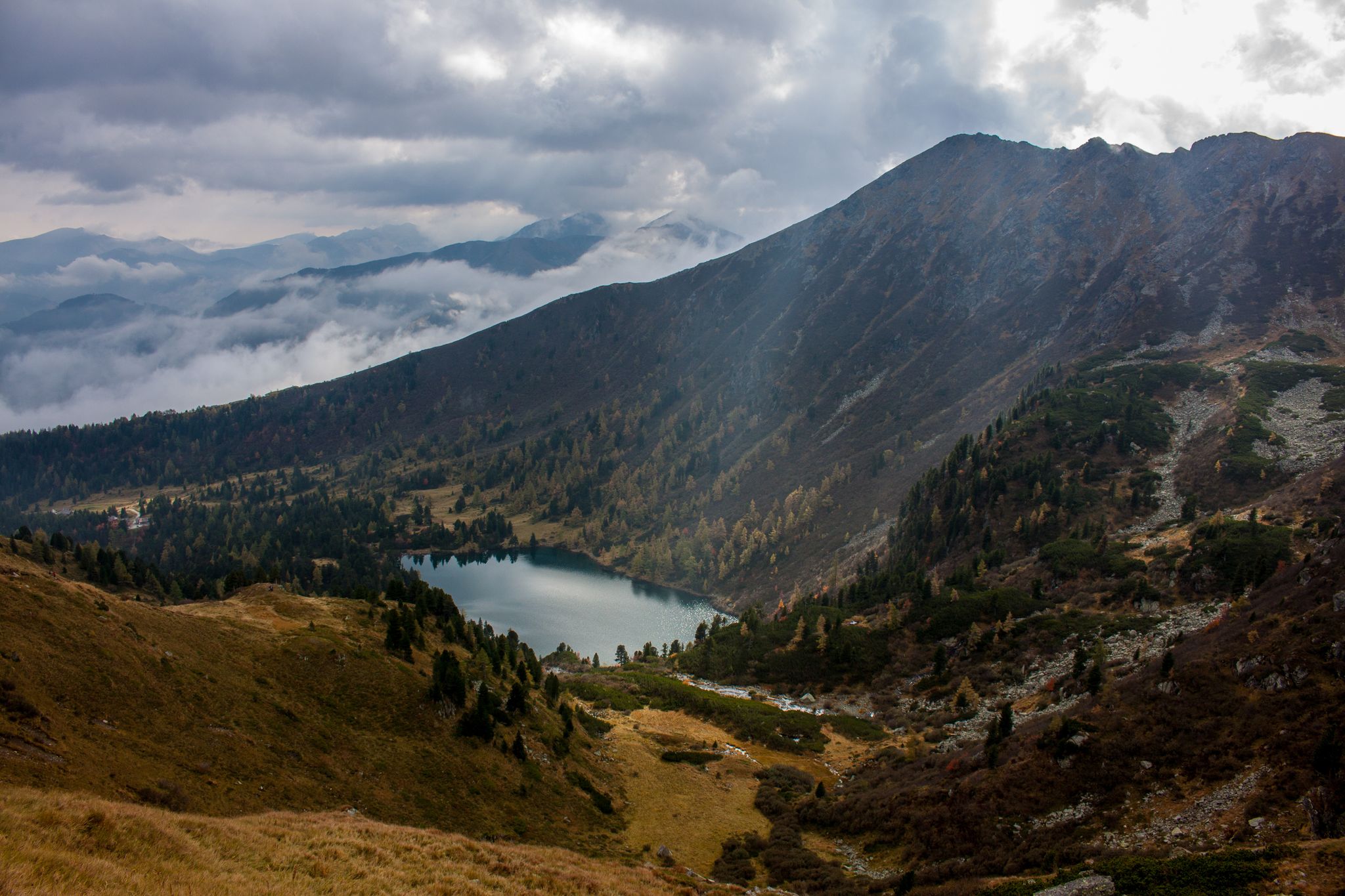
Berge mit unglaublichen Namen
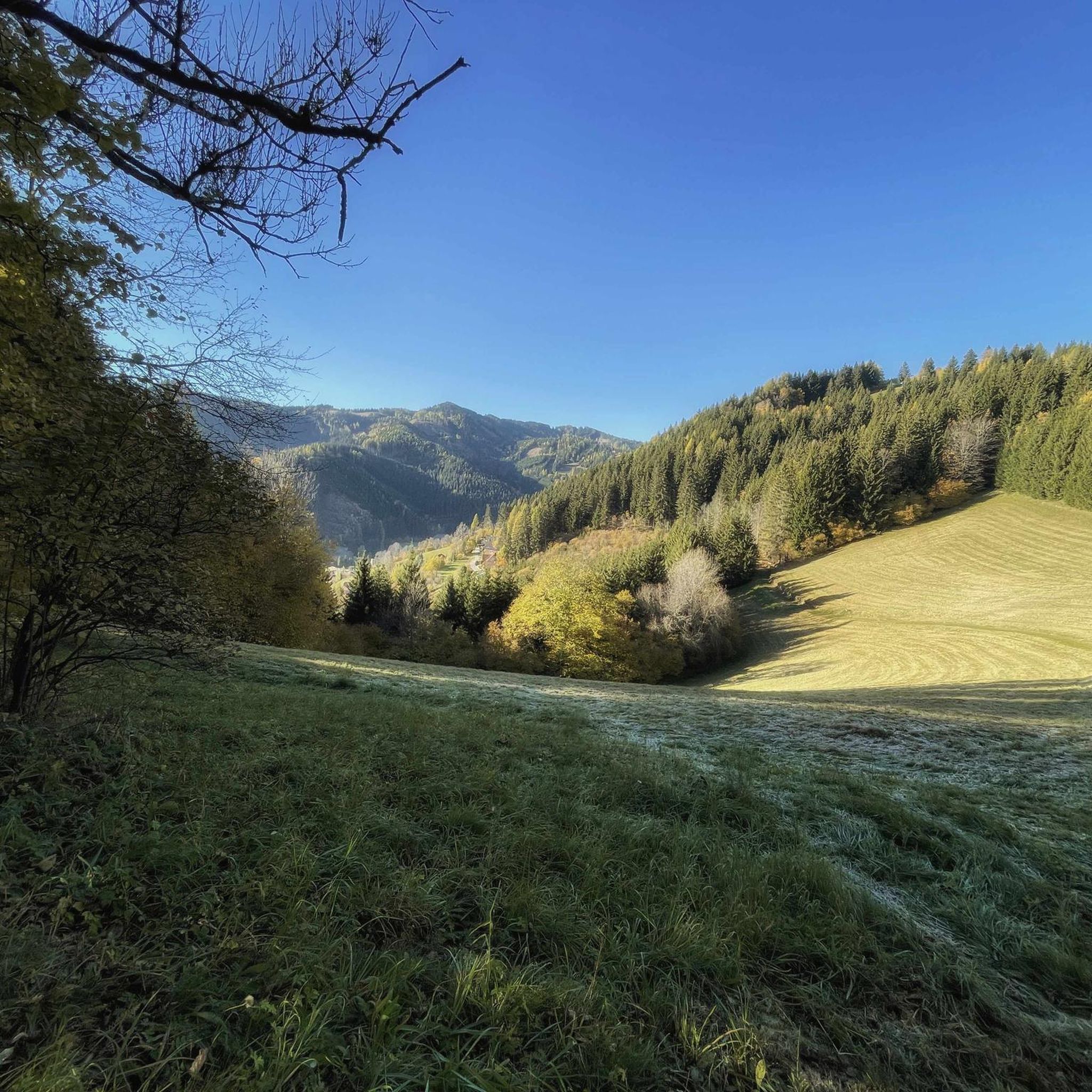
Hiking around Pölstal
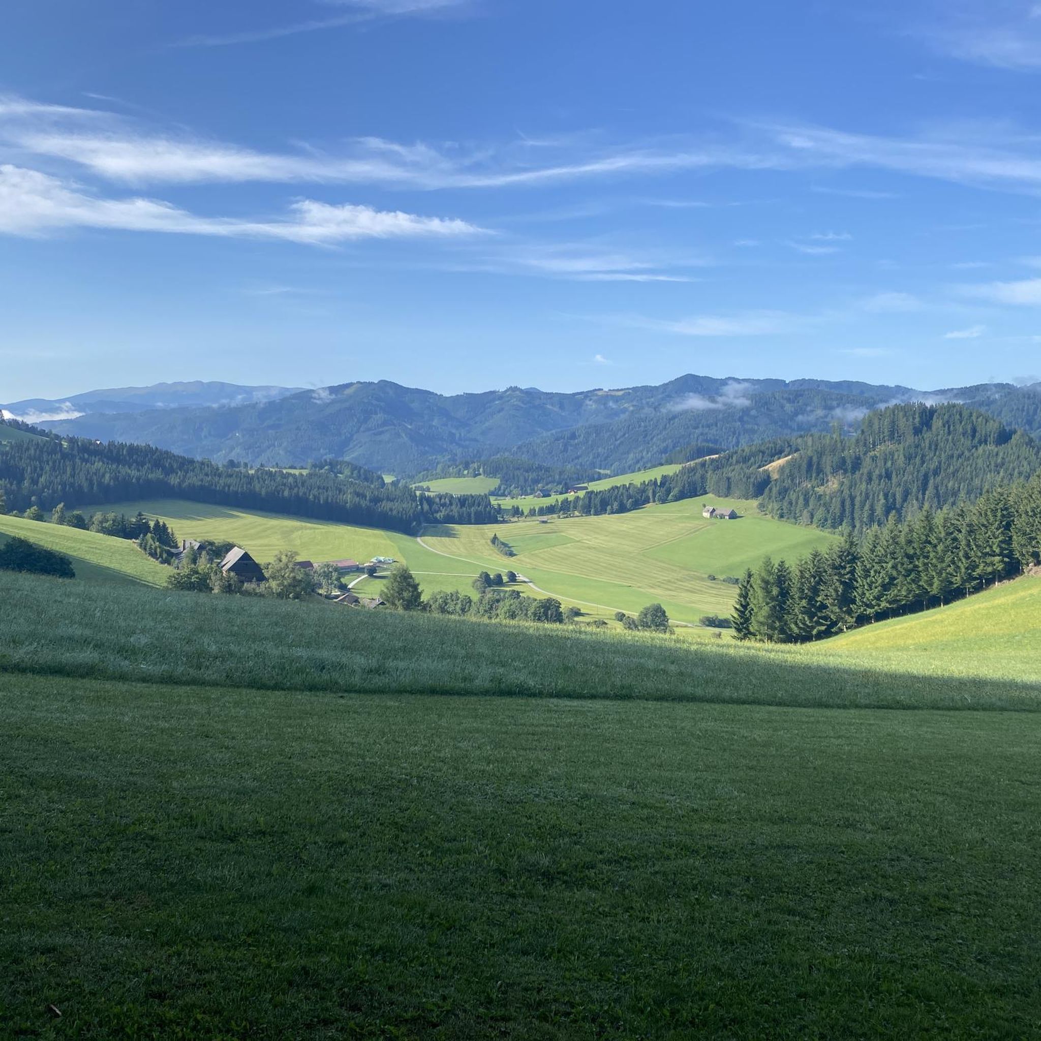
Cycling around Pölstal
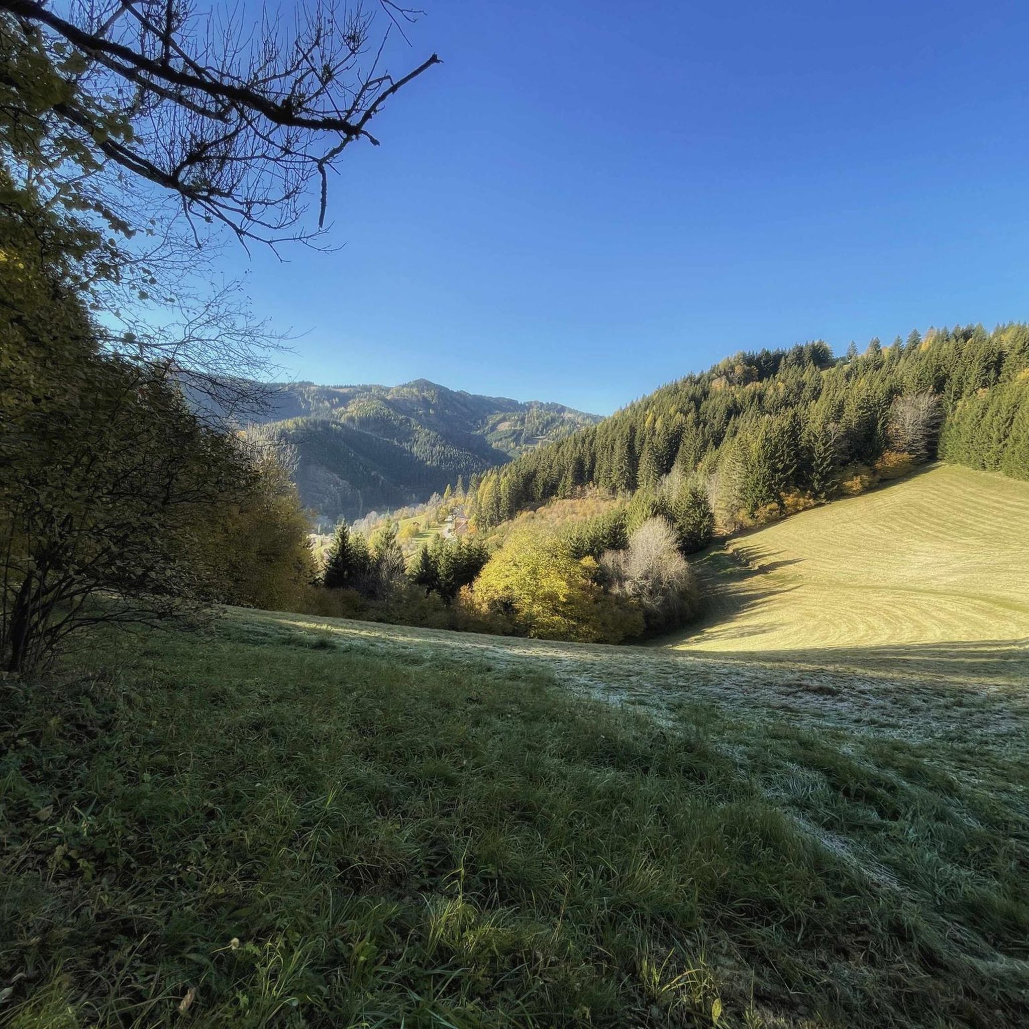
MTB Trails around Pölstal
Mountain Hikes around Pölstal
Running Trails around Pölstal
Other adventures around Pölstal


Tips from the Community

Place of power with a very long history
1
0

There was relatively heavy traffic, including heavy goods vehicles, and an unbraked 40-ton truck overtook me with less than 1 meter of clearance. I'm annoyed that I ignored a friend's advice to use the Sölk Pass.
0
0


The monastery was founded in 1076 by the Carinthian Margrave Markwart von Eppenstein. His son, Duke Henry III of Carinthia (who is buried here in the founder's crypt), completed and completed the foundation of the monastery until his death in 1122, when the Eppenstein family died out. He endowed the convent with a rich endowment for the maintenance and cultivation of art and science. It is not known from which Benedictine mother monastery the first monks came. The first church in the 11th century was the "Church of Saint Lambert in the Forest", in the immediate vicinity of which the monastery was built before 1076. In the 12th century it was replaced by a Romanesque basilica, which was consecrated in 1160. It was almost the size of today's collegiate church. In 1157, the place of grace Mariazell in Upper Styria was founded by the Benedictines of St. Lambrecht and, after an interruption from 1949 to 1992, is now again looked after by St. Lambrecht.
1
0
The St. Lambrecht Abbey, officially the Benedictine Abbey of St. Lambrecht (Latin Abbatia Sancti Lamberti or Monasterii Sancti Lamberti), is a Benedictine abbey located at 1,028 meters above sea level in Sankt Lambrecht in the Austrian federal state of Styria. The name goes back to the monastery's patron saint, Saint Lambert.
1
0

Here, far above the town of Murau, you can clearly see the complexity of the small town
1
0

Interesting story about the church tower in the water. How it came about is explained on the sign in front of it.
0
0

The Benedictine monastery was founded in the 11th century. However, only remnants of the original complex and the former collegiate church can be seen. The monastery also has a beautiful monastery garden, which was laid out in the 17th century. It is dedicated to the four elements of fire, water, air and earth. In addition, around 4000 hectares of land belong to the monastery, which is cultivated and managed. In the monastery and nature park shop, specialties from the area and specially produced and processed products such as medicinal and aromatic herbs, tea, oils, etc. are sold.
1
0
Frequently Asked Questions
What kind of terrain can I expect when road cycling in Pölstal?
Pölstal offers a diverse landscape for road cyclists. You'll find everything from gentle valley rides along the Pöls River to more challenging ascents into the surrounding mountains. The region is characterized by rolling hills, lush meadows, and a dramatic backdrop of higher peaks, providing varied terrain suitable for different abilities.
How many road cycling routes are available in Pölstal?
There are nearly 40 road cycling routes documented in Pölstal on komoot. These include 4 easy routes, 21 moderate routes, and 13 difficult routes, ensuring options for various skill levels and preferences.
Are there any easy road cycling routes suitable for beginners or a relaxed ride?
Yes, Pölstal has several easy routes. For a relaxed ride through scenic landscapes with a mix of open fields and charming villages, consider the View of Rothenfels Castle – Oberwölz loop from Unzmarkt, which is about 40 km long.
What are the best times of year for road cycling in Pölstal?
The best seasons for road cycling in Pölstal are spring and summer. During these months, the weather is typically mild, and nature is in full bloom, offering picturesque scenery. Autumn can also be beautiful with vibrant foliage, though temperatures will be cooler.
Are there challenging routes with significant elevation gain for experienced road cyclists?
Absolutely. For experienced cyclists seeking a challenge, routes like the Mariensäule Murau – View of Rothenfels Castle loop from Unzmarkt offer extensive views and significant elevation gain over its 96.2 km. Another demanding option is the View of Rothenfels Castle – Hocheggersattel (1318 m) loop from Lachtal, which includes mountain passes.
What kind of landmarks or viewpoints can I see along the road cycling routes in Pölstal?
Pölstal offers numerous scenic viewpoints and landmarks. You can enjoy expansive views of the valley from the Schneeberger Kapelle, or cycle past the unique Tauernwindpark, Europe's highest wind farm. The region is also framed by impressive mountain peaks like Großer Zinken Summit (2,237 m) and Karlspitze Summit, which provide a dramatic backdrop.
Are there any circular road cycling routes in Pölstal?
Yes, many of the road cycling routes in Pölstal are designed as loops. For example, the Trieben Pass Summit (1274 m) – Hohentauern loop from Hohentauern is a moderate 42.5 km circular route. The Römerstraße Pedestrian Bridge – Schloss Café Teufenbach loop from St. Georgen ob Judenburg is another moderate loop covering about 58 km.
What do other road cyclists say about the routes in Pölstal?
The road cycling routes in Pölstal are highly regarded by the komoot community, with an average rating of 4.8 stars from over 30 reviews. Over 1,000 road cyclists have explored the area using komoot, often praising the varied terrain and scenic beauty.
Are there any family-friendly road cycling options in Pölstal?
While road cycling generally requires a certain level of fitness, Pölstal offers easier, flatter sections, particularly along the Pöls River, which can be more suitable for families with older children or those looking for a less strenuous ride. The easy routes, such as the View of Rothenfels Castle – Oberwölz loop from Unzmarkt, are good starting points.
What cultural or historical attractions are near the cycling routes?
For those interested in history, the Oberzeiring Show Mine provides insight into the region's ancient silver mining past. While not directly on a cycling route, it's a notable cultural attraction in the vicinity that can be combined with a cycling trip.
How long do road cycling routes in Pölstal typically take?
Route durations vary significantly based on distance and difficulty. Easy routes like the View of Rothenfels Castle – Oberwölz loop from Unzmarkt can take around 1 hour 45 minutes. More challenging routes, such as the Mariensäule Murau – View of Rothenfels Castle loop from Unzmarkt, can require up to 4 hours 50 minutes or more.
Most popular attractions around Pölstal

Get inspired with the komoot mobile app


Explore more
Browse the best Road cycling routes in other regions.
