The best road cycling routes in Sierras De Cazorla, Segura Y Las Villas
4.6
(8)
1,054
riders
60
rides
Road cycling routes in Sierras De Cazorla, Segura Y Las Villas traverse the largest protected natural area in Spain, characterized by rugged mountains, deep valleys, and extensive pine forests. The terrain features significant ascents and descents, with numerous peaks exceeding 1,000 meters, including Pico Empanada at 2,107 meters. Winding roads follow the courses of the Guadalquivir and Segura rivers, offering diverse landscapes for road cyclists. The region's geological formations, such as karst towers and ridges, contribute to challenging and varied…
Last updated: July 7, 2026
44
riders
80.1km
04:31
1,800m
1,800m
Hard road ride. Very good fitness required. Mostly well-paved surfaces and easy to ride.
5.0
(1)
31
riders
152km
08:58
3,110m
3,110m
Hard road ride. Very good fitness required. Mostly well-paved surfaces and easy to ride.

Sign up for free
3.0
(1)
22
riders
83.0km
04:27
1,550m
1,560m
Hard road ride. Very good fitness required. Some segments of this route may be unpaved and difficult to ride.
21
riders
57.1km
03:15
1,310m
1,310m
Hard road ride. Very good fitness required. Mostly well-paved surfaces and easy to ride.
17
riders
64.9km
03:58
1,620m
1,620m
Hard road ride. Very good fitness required. Mostly well-paved surfaces and easy to ride.
Get access to more routes and recommendations from other explorers.
Sign up for free
Already have an account?
Our route recommendations are based on thousands of hikes, rides, and runs completed by other people on komoot.
Start today with a free account
Your next adventure awaits.
Login or Signup
Popular around Sierras De Cazorla, Segura Y Las Villas
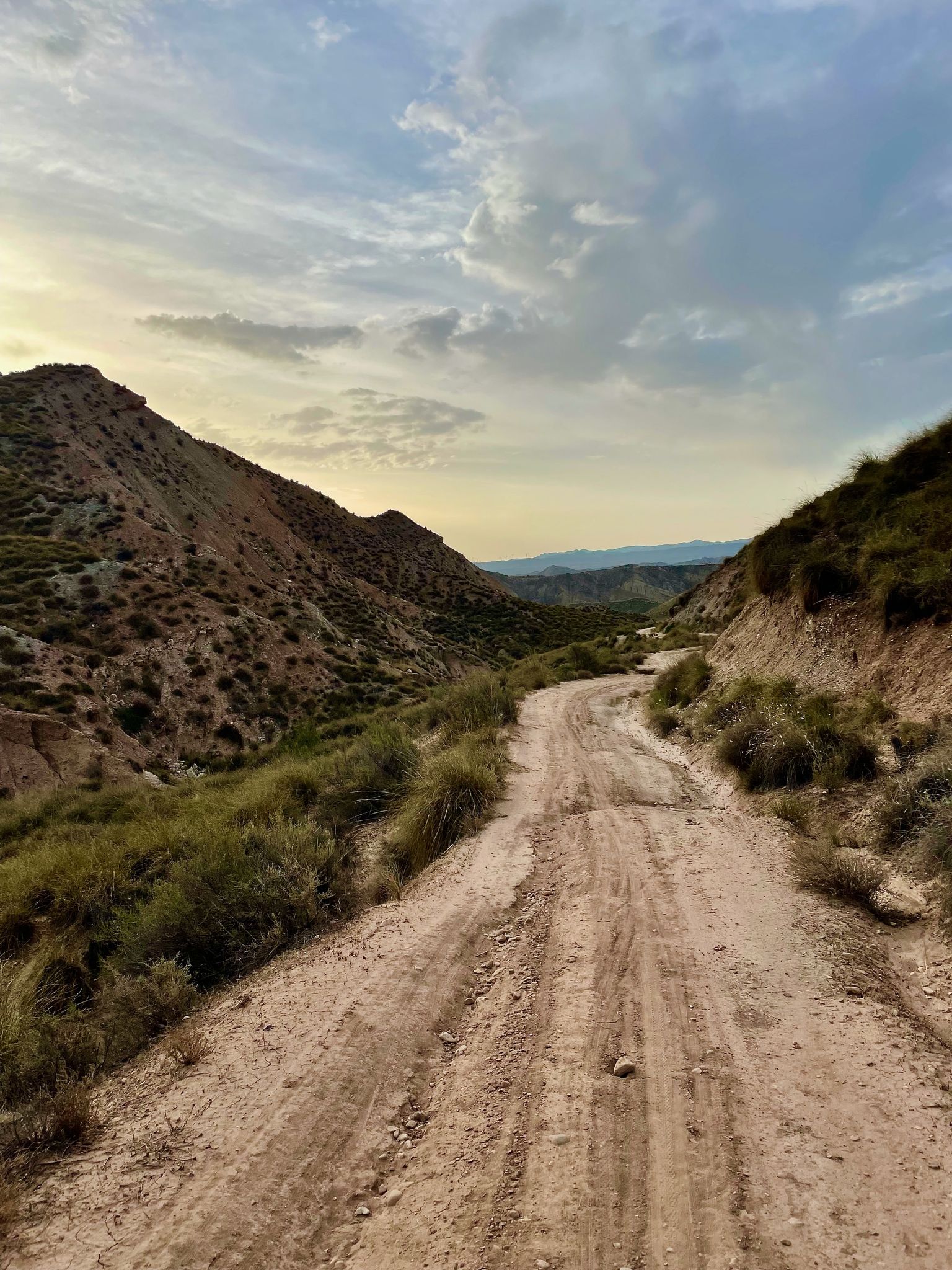
Badlands 2021 — 750km of gravel in the Spanish deserts

Bikepacking the mountains and deserts of Andalucía

12 hiking gems throughout Spain
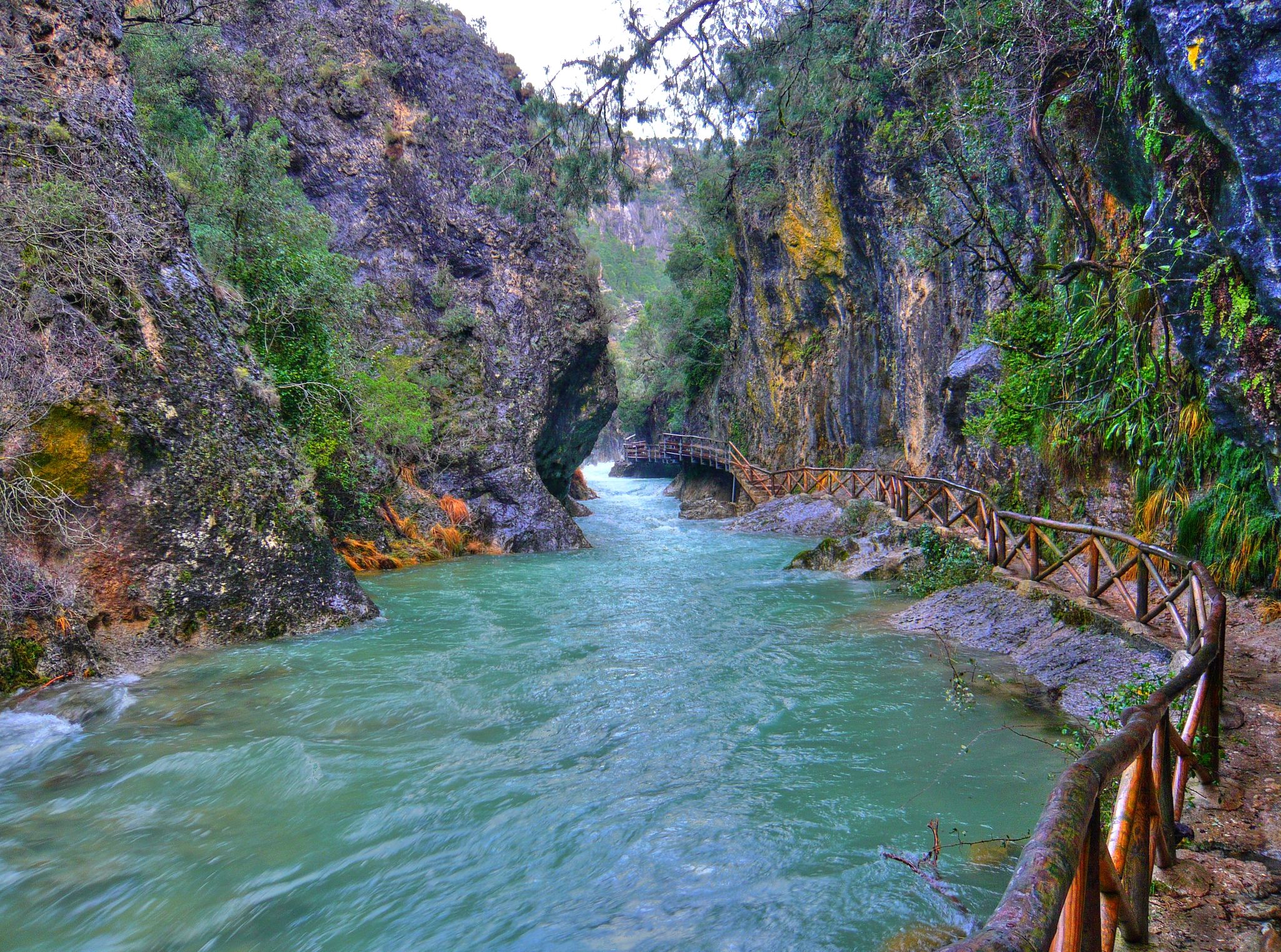
Through the Borosa Gorge to the highest peak of the Sierra de Segura
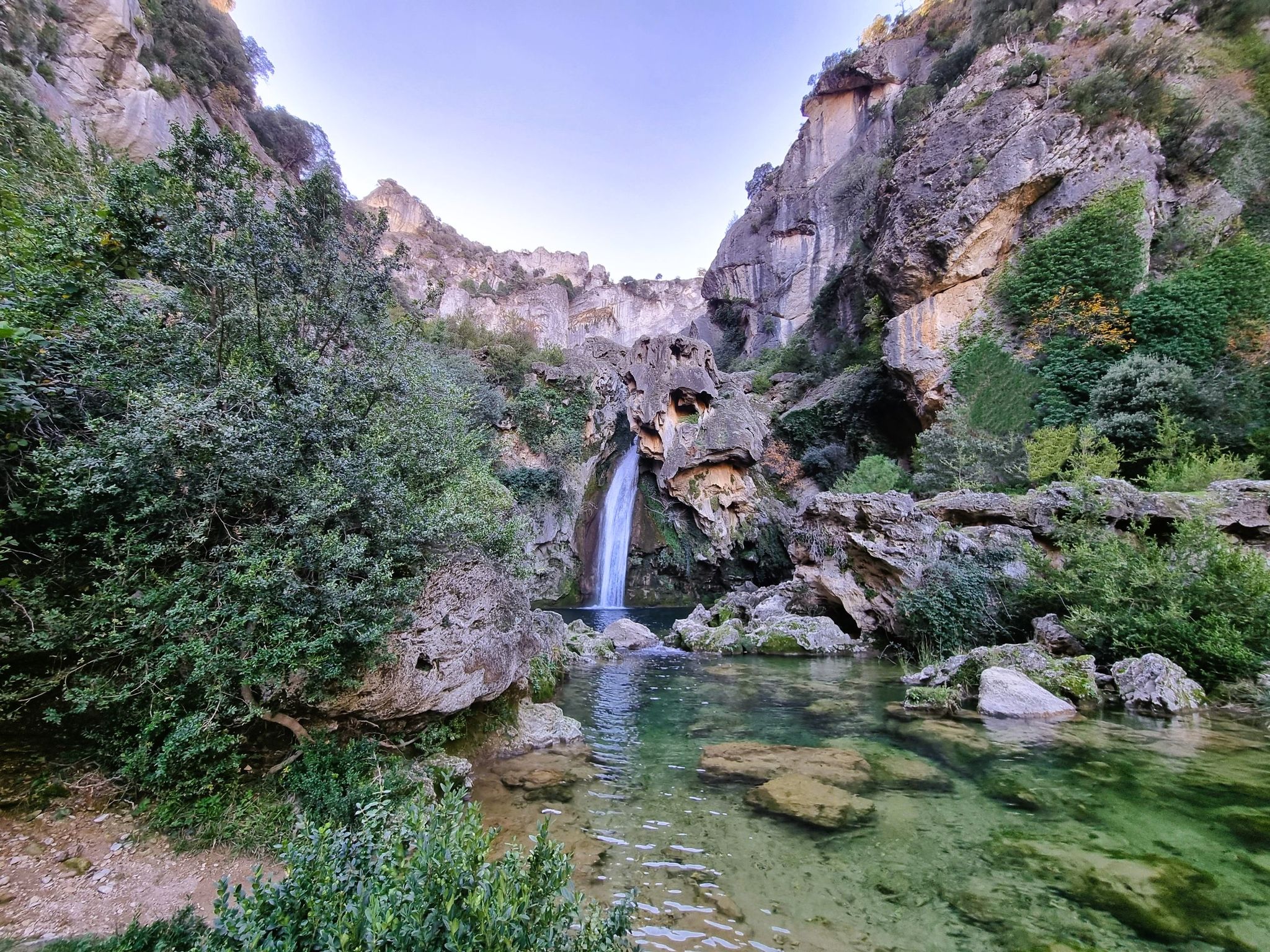
Jaén, inland paradise – three Tours from Cazorla
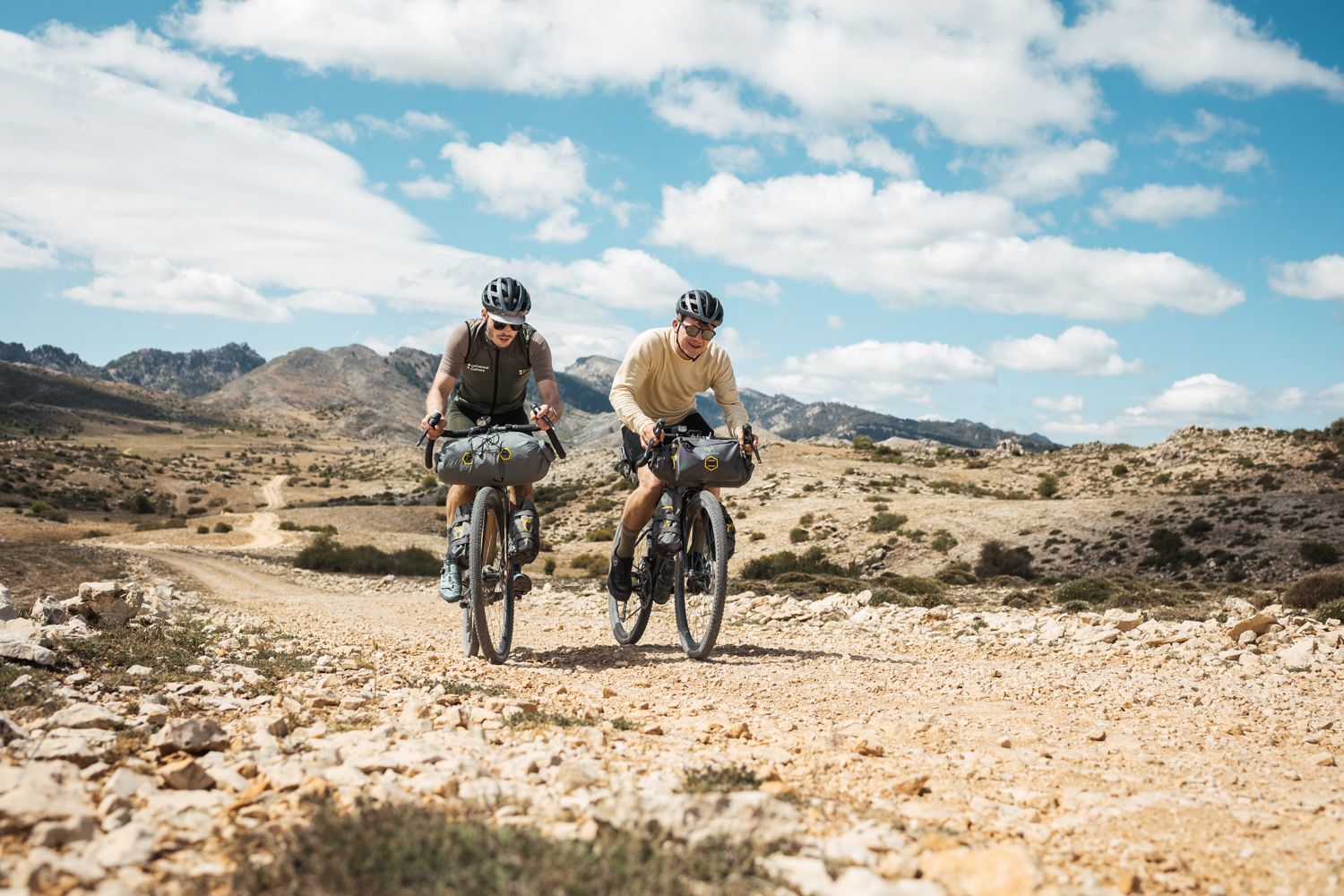
Bikepacking in Andalusia – Europe's gravel paradise
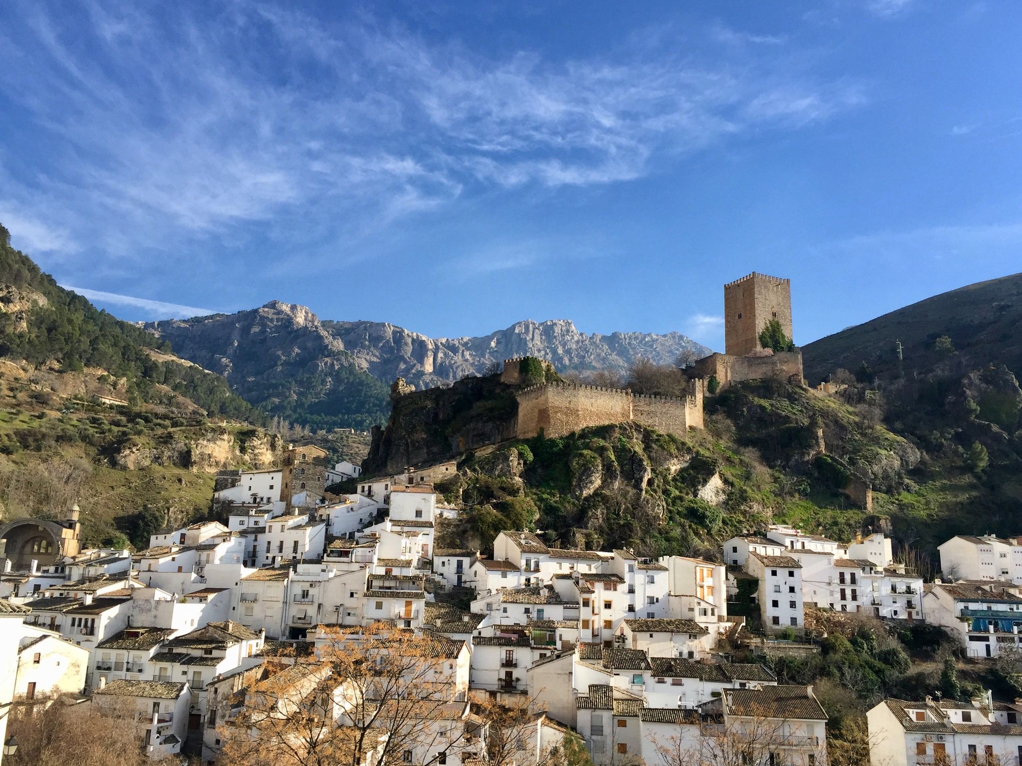
European Divide Trail across the Iberian Peninsula – central
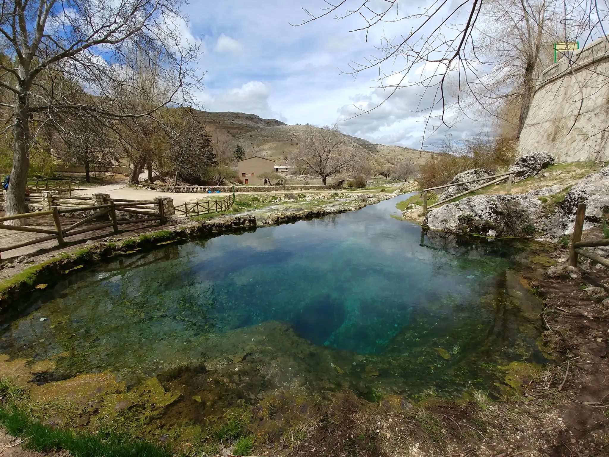
Transhumance in the Sierra de Segura – hiking the GR 144

Wild and free Andalusia – Transandalus through the interior
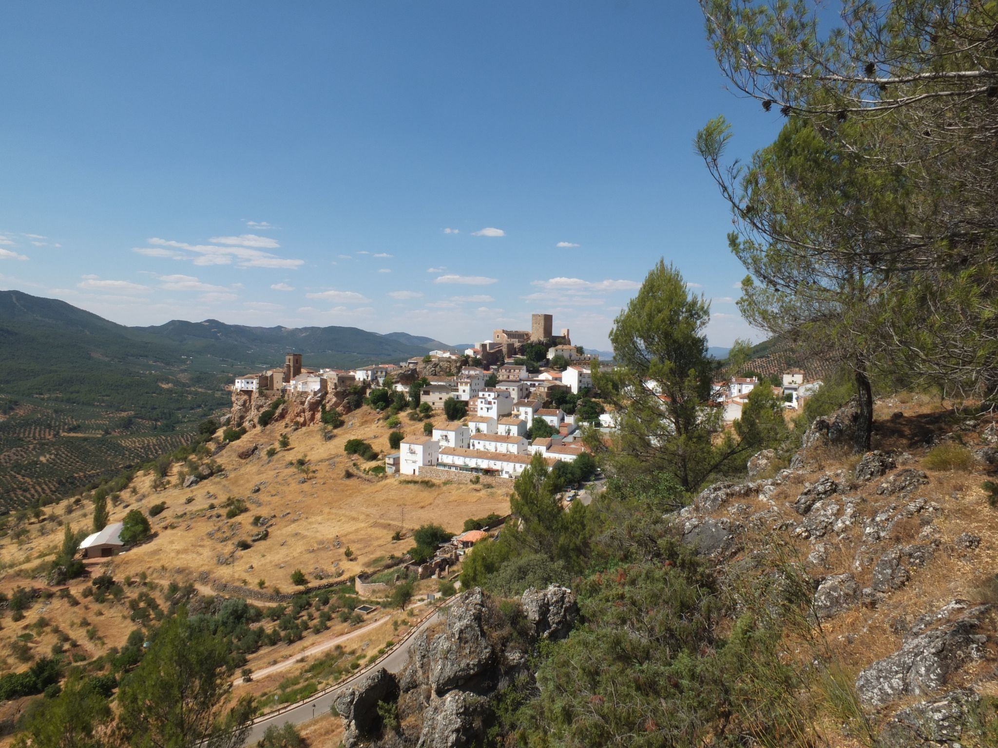
Mountains and olive groves in the Sierra de Segura – GR 146
Other adventures in Sierras De Cazorla, Segura Y Las Villas


Tips from the Community

From the highway, next to a building, a narrow road leads off, with many potholes at first. There's only one turnoff (left) a few kilometers later, to Robledo. The other takes you directly to the summit. At the end, the gradient increases. Once at the top, the views are impressive. From the guardhouse, you can see half the Sierra, and on the opposite side of the guardhouse, the other half.
0
0
It is the closest uphill cycling port to the route of the Segura River (I have done the downhill from Poyotello to Huelga Utrera, passing by the Cueva del Agua). Years ago it was not paved and that made it even more epic, it is 10 kilometres long and would surely be considered a first-class or special port. With asphalt, it continues to be beautiful and demanding, especially from km 6 to 9. If you do it uphill, save your strength for this section.
2
0

This is the most characteristic point from which you can see the entire valley of the Guadalquivir River, and all the human settlements that currently exist such as Arroyo Frío, El Chaparral or Loma de María Ángela. It is located at an altitude of 1241 meters above sea level.
14
0

Incredible, beautiful, desolate climb. If climbing from El Robledo the road will be quite rough all the way. If climbing from Hornos the first approx 10km is a great surface but also becomes quite rough when turning off for the last section.
0
0

The climb is very demanding but with incredible views below La Toba, a beautiful place and above the canyon, also spectacular.
3
0

Beautiful and small town that is crossed by the same Río Guadalquivir at this step at the entrance to the province of Granada by one of its ends.
0
0
The river is the Zumeta, nestled in a spectacular canyon, where it meanders from Santiago de la Espada. Unique area associated with tranquility and personal enjoyment.
0
0
Despiernacaballos is a hard and unique climb that connects the Segura river valley with Cañada Hermosa and the road to Santiago de la Espada or Pontones. But that is not all; It allows you to suffer during the ascent and enjoy the views of the Segura river valley at every turn. A true privilege reserved for a few intrepid 💪
0
0
Frequently Asked Questions
How many road cycling routes are available in Sierras De Cazorla, Segura Y Las Villas?
Sierras De Cazorla, Segura Y Las Villas offers over 60 road cycling routes. These routes cater to various skill levels, with 22 moderate and 38 difficult options, ensuring a diverse range of experiences for cyclists.
What kind of terrain can I expect on road cycling routes in Sierras De Cazorla, Segura Y Las Villas?
The region is characterized by rugged mountains, deep river valleys, and extensive pine forests. Cyclists can expect significant ascents and descents, with many peaks exceeding 1,000 meters. Winding roads often follow the courses of the Guadalquivir and Segura rivers, offering varied landscapes and challenging climbs.
What natural attractions can I see along road cycling routes in Sierras De Cazorla, Segura Y Las Villas?
Many routes pass by stunning natural features. You can encounter dramatic waterfalls like the Salto de los Órganos Waterfall or the Linarejos Waterfall. The Elías Gorge and the sources of major rivers like the Guadalquivir and Segura are also prominent natural monuments within the park.
Are there any circular road cycling routes in Sierras De Cazorla, Segura Y Las Villas?
Yes, several circular routes are available. A notable option is the Puerto Despiernacaballo y Mirador de Huelguecillas — circular por Hornos, a difficult 80.1 km trail featuring significant elevation gain and panoramic views. Another is the Embalse del Tranco de Beas and ascent to Mirador de Huelguecillas — circular from Hornos, which covers 75.3 km.
What is the best season for road cycling in Sierras De Cazorla, Segura Y Las Villas?
The Sierras de Cazorla, Segura y Las Villas region is generally best for road cycling during spring and autumn. These seasons offer milder temperatures and less extreme weather, making long rides more comfortable. Summer can be very hot, especially in lower elevations, while winter may bring colder temperatures and potential snow at higher altitudes.
Are there routes suitable for beginner road cyclists in Sierras De Cazorla, Segura Y Las Villas?
While the region is known for its challenging terrain, with 38 difficult routes, there are also 22 moderate routes that might be more suitable for beginners or those looking for less strenuous rides. These routes still offer beautiful scenery without the most extreme climbs.
Are there any challenging climbs for advanced road cyclists in the region?
Absolutely. The park features numerous peaks over a thousand meters high, providing significant ascents. For instance, the climb to El Yelmo is a challenging 15.7 km ascent with an average grade of 6.7%, including six switchbacks in the final kilometer, offering 360-degree views from the summit. Routes like the Tour of the Cazorla and Las Villas Sierras, spanning 151.9 km with over 3,100 meters of elevation gain, also present a substantial challenge.
What do other road cyclists appreciate about the routes in Sierras De Cazorla, Segura Y Las Villas?
The routes in Sierras De Cazorla, Segura Y Las Villas are highly rated by the komoot community, with an average score of 4.6 stars from over 8 reviews. Cyclists often praise the diverse and rugged mountain scenery, the challenging climbs, and the extensive pine forests that define the region's unique cycling experience.
Are there any historical or cultural sites accessible from the road cycling routes?
Yes, the region is dotted with charming towns and historical sites. You can explore picturesque villages like Cazorla with its narrow streets, or visit Segura de la Sierra, which boasts a Mudejar castle and historic Arab baths. La Iruela also features a notable castle. These towns offer cultural insights and opportunities for breaks during your ride.
Where can I find parking for road cycling starting points in Sierras De Cazorla, Segura Y Las Villas?
Many of the towns and villages within or bordering the natural park, such as Cazorla, Hornos, and Segura de la Sierra, offer public parking facilities that can serve as convenient starting points for road cycling routes. It's advisable to check local parking regulations upon arrival.
Are there cafes or restaurants along the road cycling routes in Sierras De Cazorla, Segura Y Las Villas?
Yes, many routes pass through or near the charming towns and villages within the park, such as Cazorla, Hornos, and Segura de la Sierra. These locations typically offer cafes, restaurants, and small shops where cyclists can refuel and rest. Planning your route to include these stops is recommended.
Is public transport available to access road cycling routes in Sierras De Cazorla, Segura Y Las Villas?
Public transport options to access the heart of the natural park are limited. While some bus services connect major towns surrounding the park, direct access to specific route starting points often requires personal vehicle transport. It's best to research specific bus routes and schedules if you plan to rely on public transport.
Most popular routes in Sierras De Cazorla, Segura Y Las Villas
Most popular attractions in Sierras De Cazorla, Segura Y Las Villas

Get inspired with the komoot mobile app


Explore more
Browse the best Road cycling routes in other regions.
