The best running trails in Sierra De Baza
4.5
(5)
349
runners
70
runs
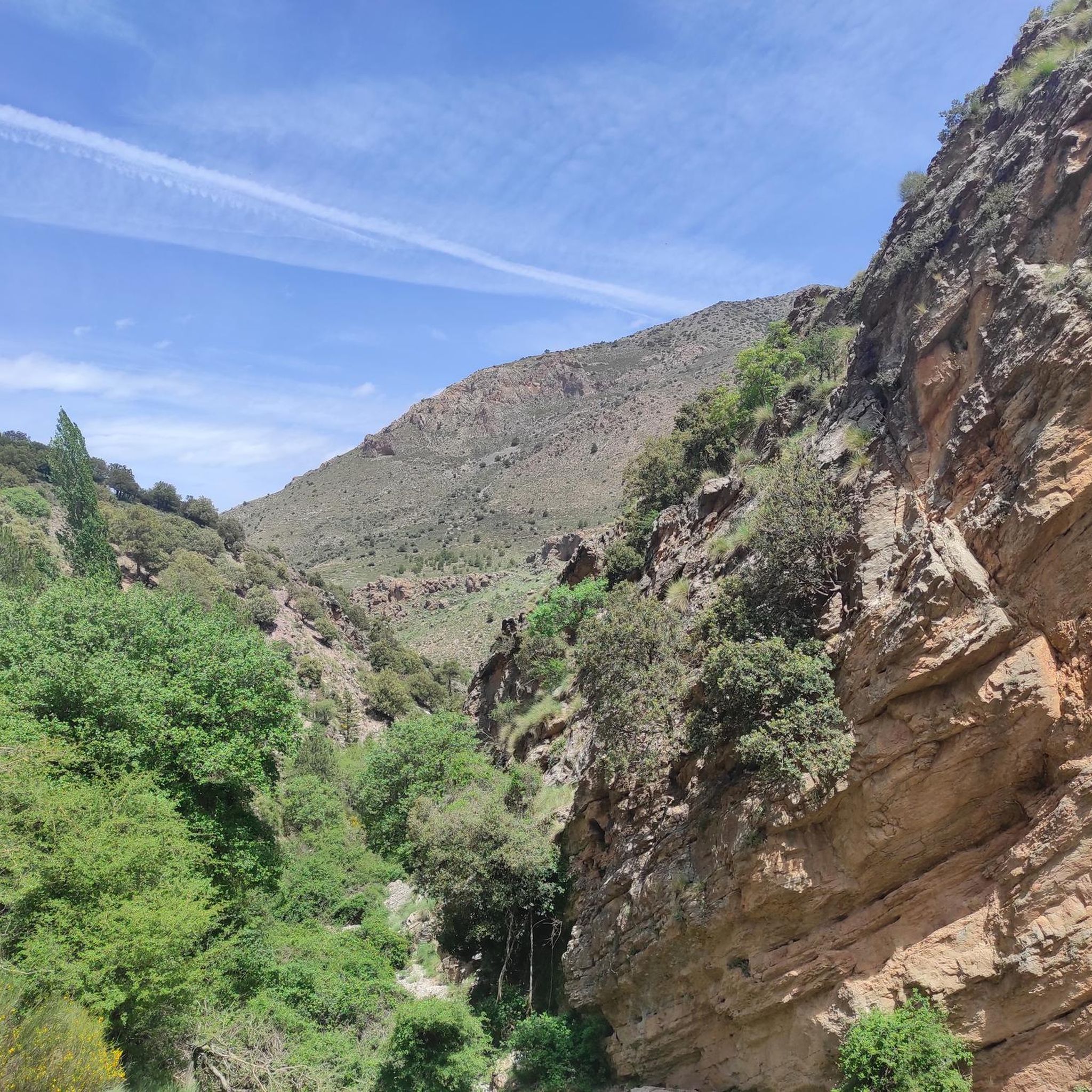
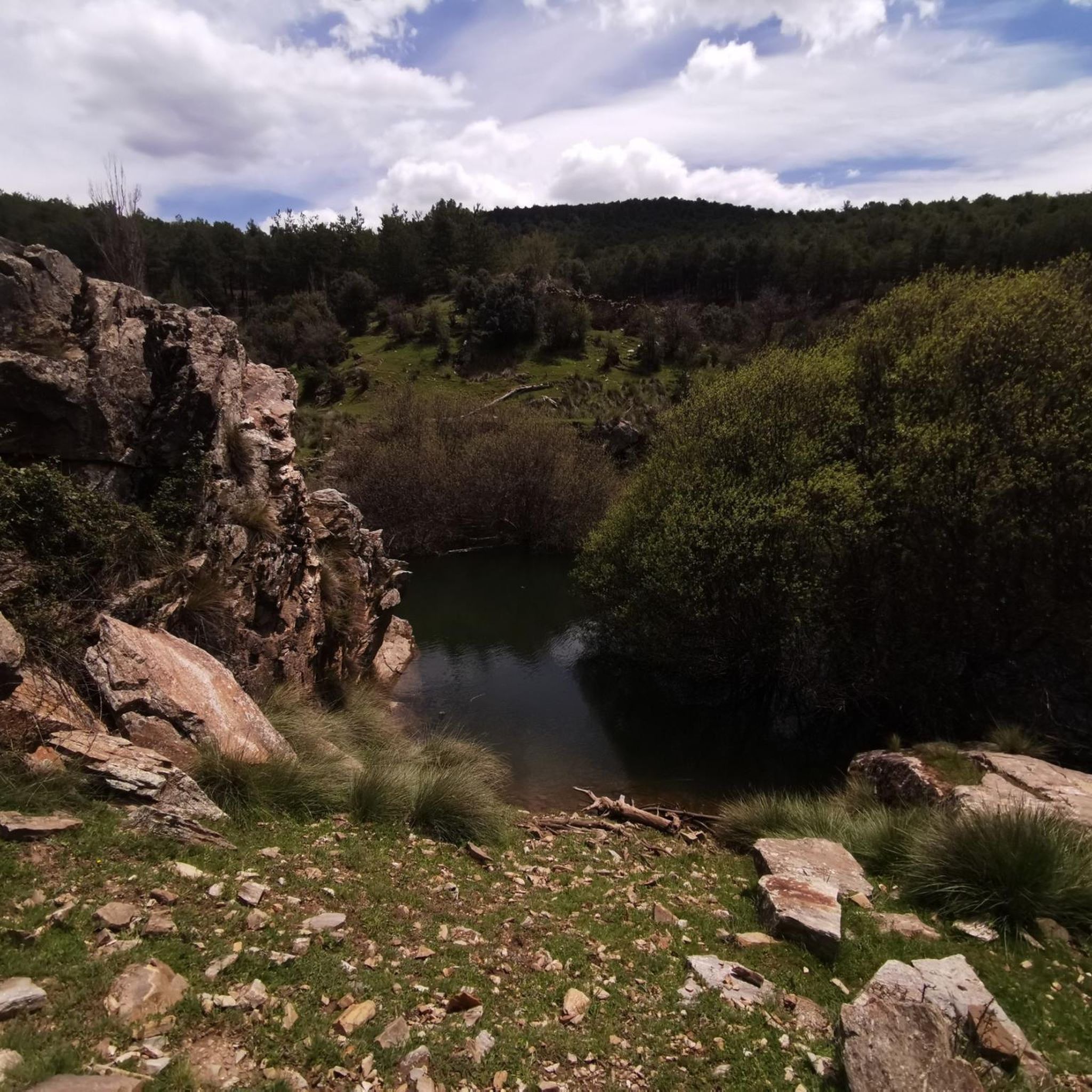
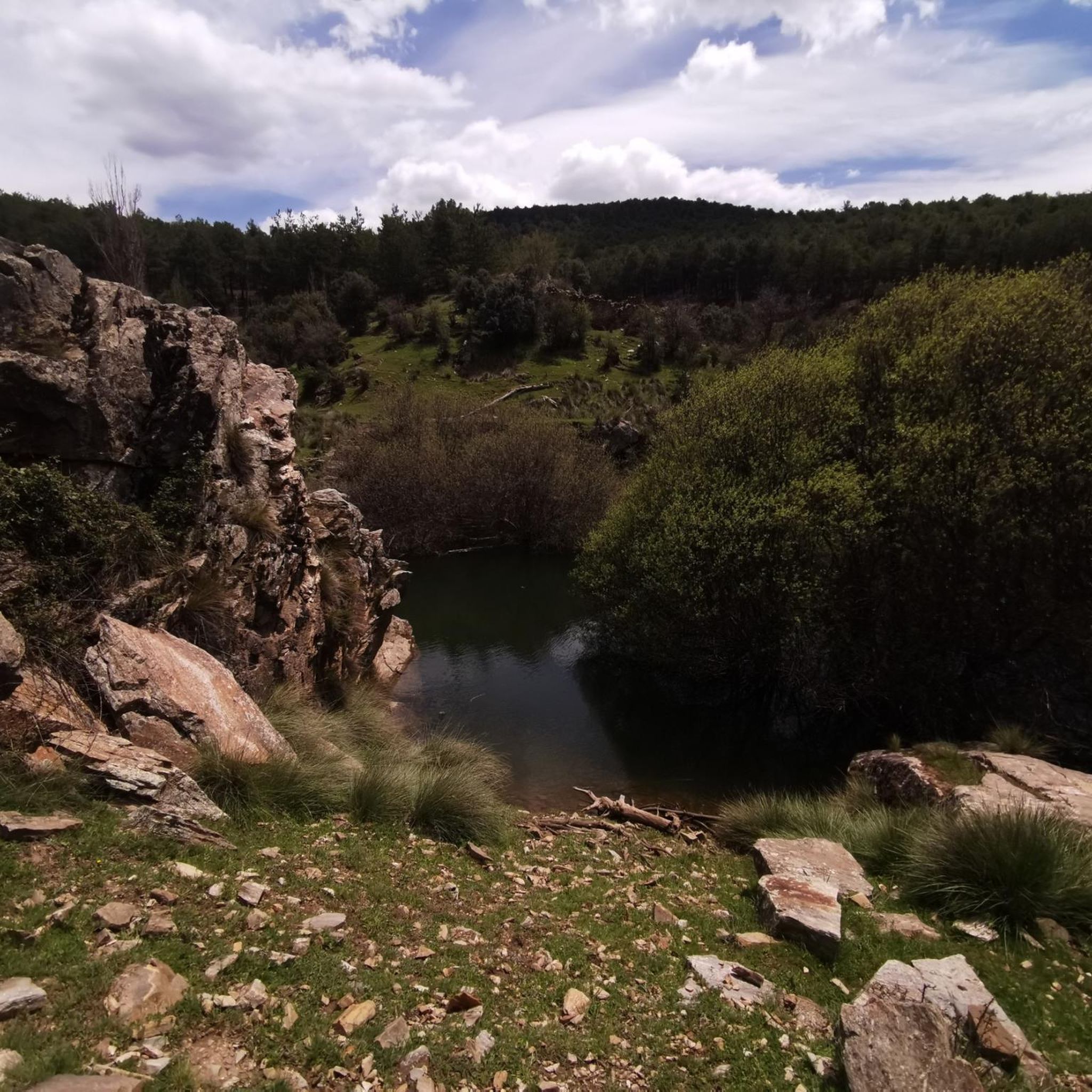
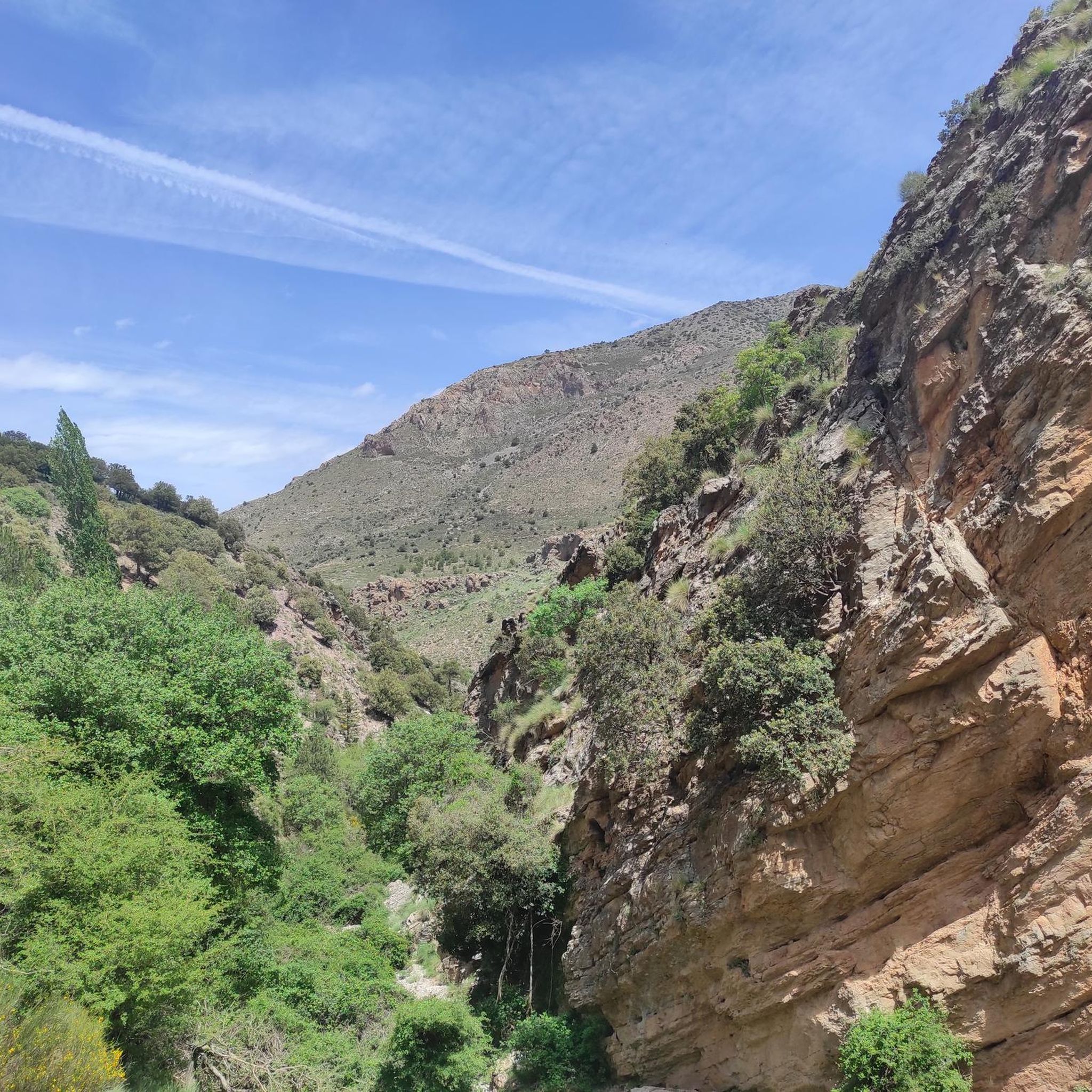
Jogging routes in Sierra De Baza traverse a diverse landscape, characterized as a "bioclimatic island" with verdant terrain. The region features mountainous areas with pine-clad slopes, deep canyons, and Mediterranean meadows. Abundant forests of Scot and Austrian pines, holm oaks, and maples provide a lush backdrop for running, alongside small streams and rivers. This varied topography offers a range of running surfaces and elevation changes.
Best jogging routes in Sierra De Baza
- The most popular jogging route is Prados del…
Last updated: June 27, 2026
12
runners
25.9km
03:41
1,080m
1,080m
Hard run. Very good fitness required. Mostly paved surfaces. Suitable for all skill levels.
5.0
(2)
6
runners
8.77km
01:11
290m
290m
Moderate run. Good fitness required. Mostly paved surfaces. Suitable for all skill levels.

Sign up for free
8
runners
23.5km
02:55
730m
740m
Hard run. Very good fitness required. Mostly paved surfaces. Suitable for all skill levels.
3.0
(1)
14
runners
7.28km
01:11
470m
470m
Hard run. Very good fitness required. Mostly paved surfaces. Suitable for all skill levels.
5
runners
14.6km
01:34
110m
110m
Moderate run. Good fitness required. Mostly paved surfaces. Suitable for all skill levels.
Get access to more routes and recommendations from other explorers.
Sign up for free
Already have an account?
Our route recommendations are based on thousands of hikes, rides, and runs completed by other people on komoot.
Start today with a free account
Your next adventure awaits.
Login or Signup
Popular around Sierra De Baza

Bikepacking the mountains and deserts of Andalucía

Explore the Betic Mountains on two wheels – Altravesur

Andalusia without limits – Tarifa to La Puebla de Don Fabrique on the GR 7
MTB Trails in Sierra De Baza
Hiking in Sierra De Baza

Gravel biking in Sierra De Baza
Cycling in Sierra De Baza
Road Cycling Routes in Sierra De Baza
Other adventures in Sierra De Baza


Tips from the Community

Baza is a city whose municipal area is the largest in the province of Granada, whose population centers depend on it: Baúl (where the section of the greenway begins), La Jamula and Benacebada.
6
0

Everything is going well until the Vía Verde draws a large arc towards the south, enters the large channel of the Rambla de Baza and the Caniles iron bridge appears. The central planks have disappeared and you have to walk carefully along the sides. A sign at the entrance to the bridge recommends the parallel lane to avoid unnecessary risks. The tall chimney of the old Nuestra Señora de las Mercedes sugar factory announces the arrival at the Caniles station, which had an important weight in railway trade from its inauguration, in 1894, until the middle of the 20th century, when the decline of the road that connected Andalusia and the Levant. The buildings have been restored and converted into the Geodiversity Interpretation Center of the Granada Altiplano. In Baza you have to leave the route of the Greenway and visit the historical complex, passing by the Fuente de los Caños Dorados, the Plaza Mayor, the Barrio de San Juan, the alleys of the Jewish quarter, the Old Butcher Shops, the Arrabal de Marzuela , even entering the Arab Baths, and taking the opportunity to have some local delicacies and recover energy for the rest of the stage.
0
0

La Fuente de la Salud is a charming place located in Baza. Legend has it that this was the place where Alfonso XI set up his camp. Its origin was due to the need to channel the spring that supplies the population. The Health Fountain was built by Francisco del Castillo in the 16th century, although local stonemason Alonso González Bailén also took part. It is located about 2 km northeast of Baza along the Virgen de la Salud path. If you are a lover of nature and history, the Fountain of Health and its surroundings are a perfect place to explore. Enjoy the beauty of Baza and its landscapes! 🌿🏞️
2
0
The Narváez Visitor Center is located in the heart of the Sierra de Baza Natural Park, in Andalusia. This building, with an elegant classical style, dates from the beginning of the last century. By touring the center, visitors can learn about the particularities of this mountain range, which is a haven of biodiversity in its surroundings. The vegetation varies depending on factors such as the difference in altitude, climate and relief. Furthermore, inside the reception space, you will find a shop with attractive local products and those from the Network of Natural Spaces of Andalusia (RENPA). Surrounding the building, there is a beautiful garden where you can relax and get to know some of the park's own species. Next to this center, there are several trails and the nature classroom of the same name. Opening hours are Fridays, Saturdays, Sundays and holidays, from 10:00 a.m. to 4:30 p.m.
1
1
The Bastetano municipality is the largest in all of Granada and includes the population centers of Baza (municipal, regional capital of the entire Granada Altiplano and seat of its own judicial district), Baúl, La Jamula, Río de Baza and Benacebada. The city has a rich historical and artistic heritage that reflects its different cultures. Its shield and flag are official symbols that represent its history and tradition. 🌿🏰
1
0

This is a good place to start an adventure or stop during one. You can find maps of the area, parking is close and there is a place to get some food.
1
0
This is a lovely place to stop for a drink. It's nicely shaded and almost always has flowing water. You may need to walk your bike in the area, especially if there are a lot of people.
0
0

It is an incredible place full of pine trees. The surface of this place is waterproof, so when the snow melts, the famous wet meadows are formed, forming a postcard panorama.
3
0
Frequently Asked Questions
How many running routes are available in Sierra De Baza?
Sierra De Baza offers a wide selection of running routes, with over 45 trails available for you to explore. These range from easy paths to more challenging runs, catering to various fitness levels.
Are there easy or beginner-friendly running routes in Sierra De Baza?
Yes, Sierra De Baza has options for beginners. While most routes are moderate, there are at least two easy running trails available. These paths are generally less demanding, allowing new runners to enjoy the park's natural beauty without significant elevation challenges.
What is the best time of year for jogging in Sierra De Baza?
The most recommended seasons for jogging in Sierra De Baza are spring and autumn. During these times, the weather is more temperate and pleasant for outdoor activities. Summers can be very hot, making runs more challenging, while winters can bring snow to higher elevations.
Can I bring my dog on the running trails in Sierra De Baza?
Sierra De Baza is generally dog-friendly, allowing you to enjoy the trails with your canine companion. However, it's always advisable to keep your dog on a leash, especially in areas with wildlife, and to check specific trail regulations or signage for any restrictions.
Are there any circular running routes in Sierra De Baza?
Yes, many of the running routes in Sierra De Baza are circular, offering a convenient way to start and finish your run at the same point. An example is the moderate Running loop from Rivera Alta, which takes you through diverse forest tracks.
What kind of wildlife might I encounter while running in Sierra De Baza?
Sierra De Baza is a haven for wildlife. While jogging, you might spot a rich community of birds, including the golden eagle. Mammals such as deer, foxes, boars, wildcats, and badgers also inhabit the park, especially during quieter times of the day. Keep an eye out for these creatures as you explore the trails.
Are there any scenic viewpoints along the running routes?
Absolutely! The park is known for its stunning vistas. The Narváez Viewpoint is a prime attraction, offering panoramic views of the park, including the Hoya de Baza and the majestic Calar de Santa Bárbara. Many routes will lead you through areas with breathtaking scenery.
What should I consider regarding hydration and facilities on the trails?
It's crucial to carry sufficient water, as there is often no potable water available directly on the paths. It's strongly advised to carry at least 2 liters of water, especially on longer runs. For facilities, you can find the Cortijo Narváez Visitor Center and various refuges like La Canaleja Alta Refuge within the park.
Are there any challenging running routes for experienced runners?
Yes, Sierra De Baza offers several challenging routes for experienced runners. For instance, the Fuente de la Taza – Prados del Rey loop from El Granero is a difficult 23.4 km (14.5 miles) trail with significant elevation changes, perfect for those seeking a demanding run.
What kind of terrain can I expect on the running trails?
You can expect a diverse range of terrain. The park features mountainous areas with pine-clad slopes, deep canyons, and Mediterranean meadows. Running surfaces vary from small forest paths and wider forest tracks to zigzagging ascents and flatter stretches in areas like Prados del Rey, offering a varied and engaging experience.
What do other runners enjoy most about jogging in Sierra De Baza?
The running routes in Sierra De Baza are highly rated by the komoot community, with an average score of 4.5 stars. Runners often praise the immersive natural experience, the diverse landscapes, and the opportunity to connect with nature in this unique 'bioclimatic island' environment.
Are there any historical or cultural points of interest along the routes?
Yes, beyond its natural beauty, Sierra De Baza holds historical significance. Scattered throughout the park are archaeological remains, including rock paintings of the Jabalcón Hill, and abandoned farms and villages. These elements add a fascinating historical dimension to your running experience.
Most popular routes in Sierra De Baza
Most popular attractions in Sierra De Baza

Get inspired with the komoot mobile app


Explore more
Browse the best Running Trails & Routes in other regions.
