The best road cycling routes around Planegg
4.5
(5612)
83,596
riders
573
rides
Road cycling around Planegg, situated southwest of Munich, offers diverse landscapes for cyclists. The region is characterized by the scenic Würm Valley, providing verdant paths often following the Würm river. Extensive natural reserves like Forstenrieder Park feature well-maintained cycling trails, while the area's proximity to lakes such as Lake Starnberg allows for varied routes through forests and open meadows. This combination of natural features creates a varied and engaging environment for road cycling.
Best road cycling routes around Planegg
- The…
Last updated: July 4, 2026
4.7
(44)
498
riders
Easy road ride. Great for any fitness level. Mostly well-paved surfaces and easy to ride.
4.6
(11)
272
riders
Easy road ride. Great for any fitness level. Mostly well-paved surfaces and easy to ride.

Sign up for free
4.7
(20)
402
riders
Easy road ride. Great for any fitness level. Mostly well-paved surfaces and easy to ride.
4.6
(12)
159
riders
38.2km
01:37
200m
200m
Easy road ride. Great for any fitness level. Mostly well-paved surfaces and easy to ride.
4.7
(15)
179
riders
Moderate road ride. Good fitness required. Mostly well-paved surfaces and easy to ride.
Get access to more routes and recommendations from other explorers.
Sign up for free
Already have an account?
Our route recommendations are based on thousands of hikes, rides, and runs completed by other people on komoot.
Start today with a free account
Your next adventure awaits.
Login or Signup
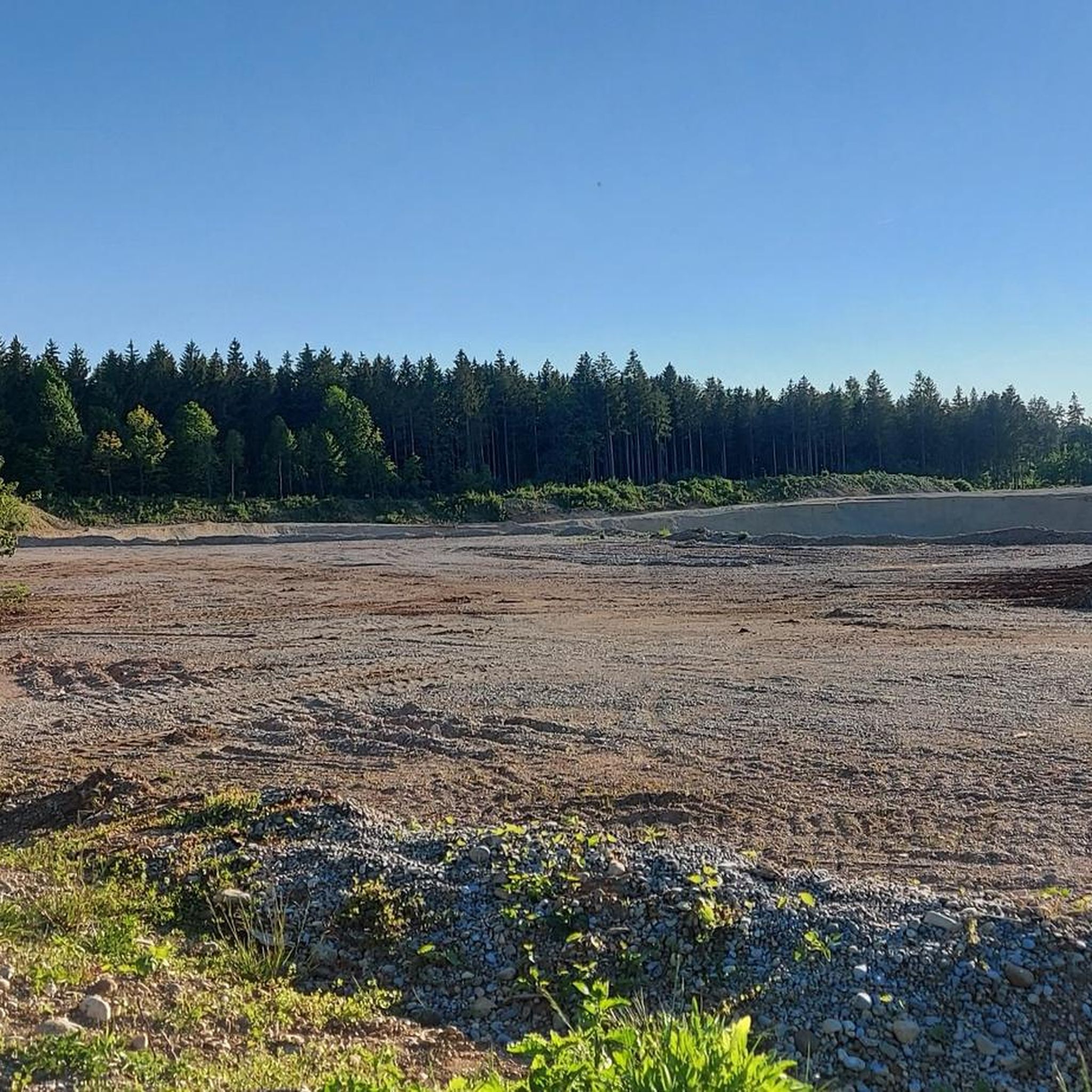
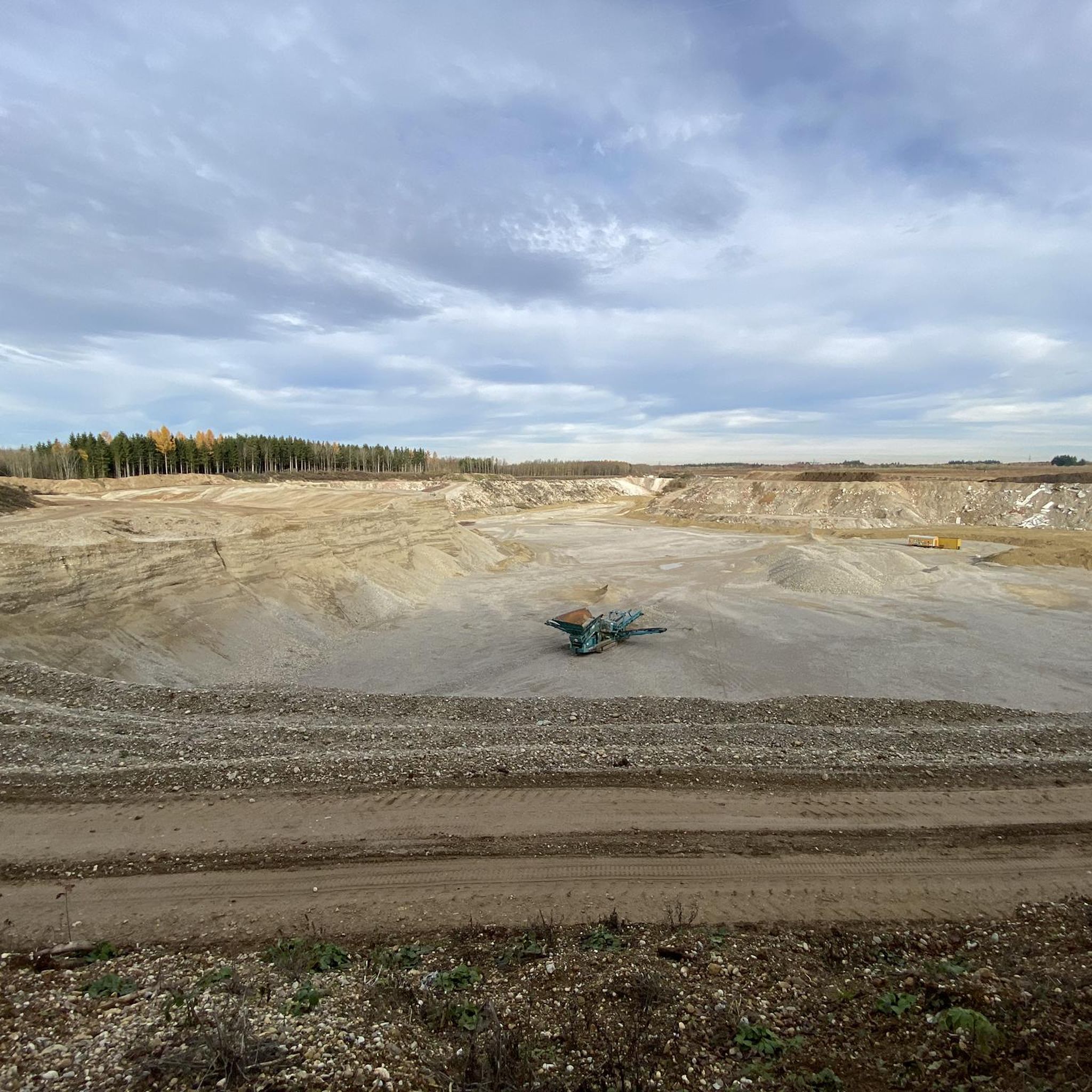
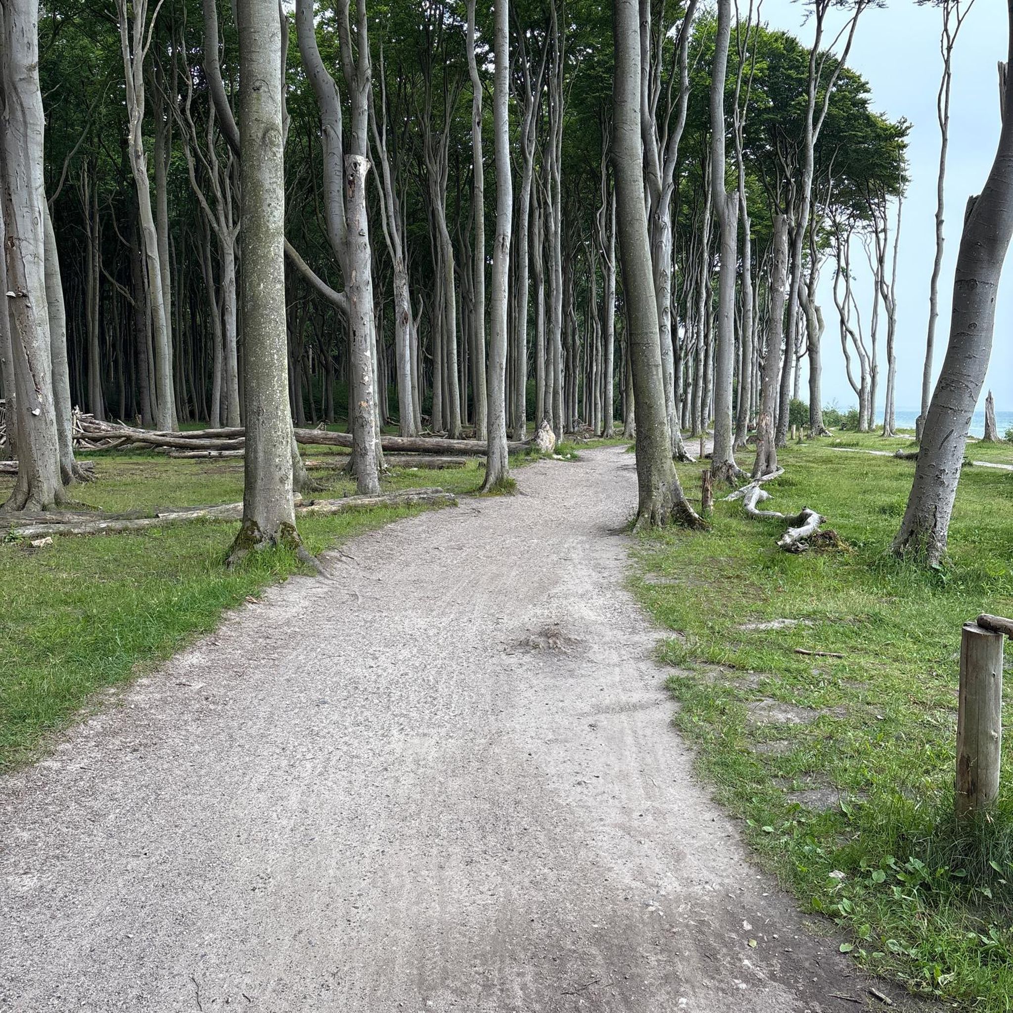
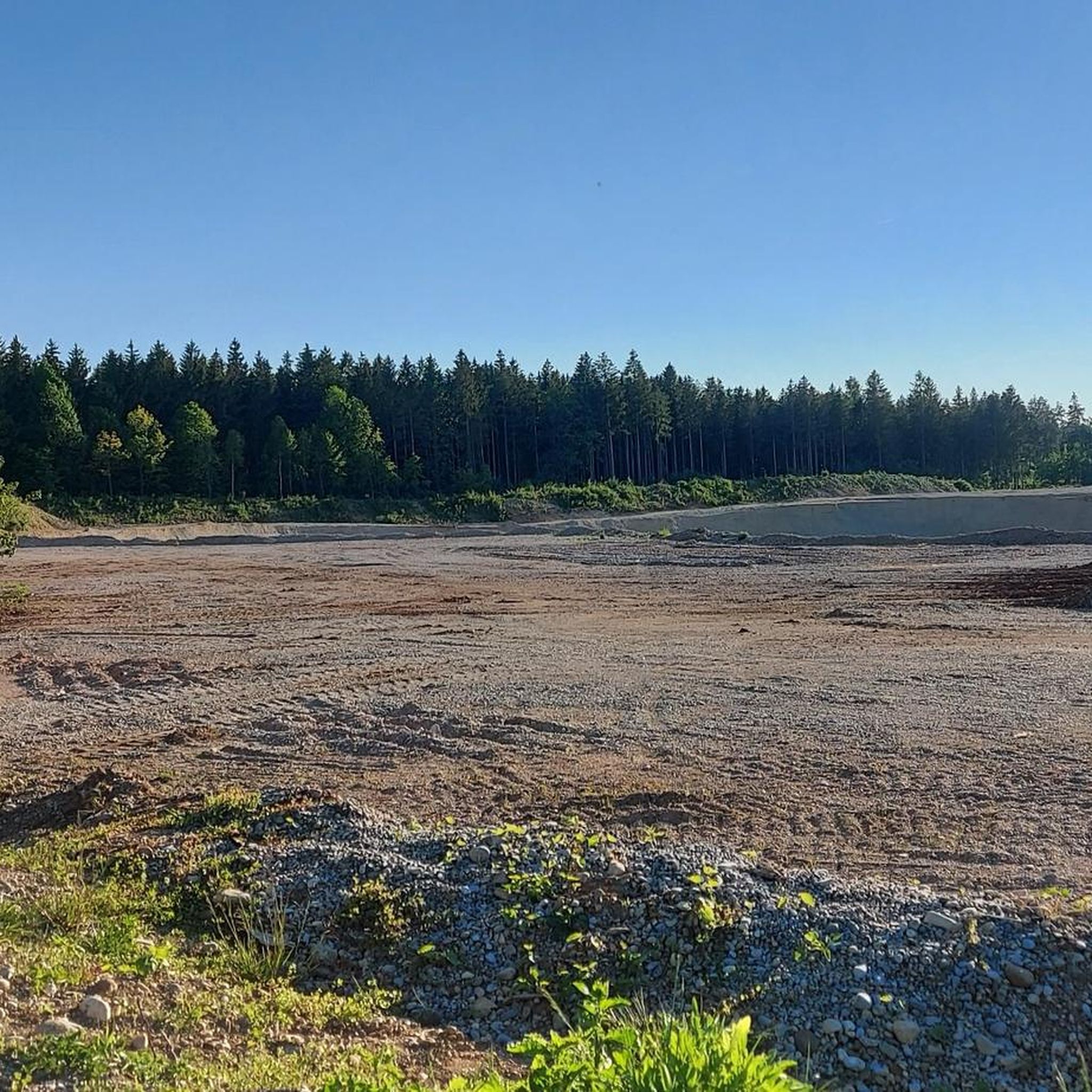
Tips from the Community

Beautiful avenue. Good to ride.
0
0

Lake Wörthsee is a charming lake next to Lake Ammersee
0
0

Beautiful path through the forest
0
0
Beautiful descent into the Würmtal
0
0
Beautiful avenue with little traffic
0
0
The road bike route out to Starnberg, slightly off the beaten path through the forest, isn't quite as fast, but it's more scenic...
1
0

Beautiful here, you can see the lake
0
0

Frequently Asked Questions
What kind of terrain can I expect on road cycling routes around Planegg?
Road cycling around Planegg offers a diverse range of terrain. You'll find many flat, scenic routes, particularly those following the picturesque Würm Valley, which are ideal for long-distance training without significant climbs. However, routes extending towards regional lakes like Lake Starnberg or through areas like Forstenrieder Park can introduce more varied landscapes, including gentle ascents and descents through forests and open meadows. Overall, the region provides options for both easy rides and more challenging routes.
How many road cycling routes are available in the Planegg area?
There are over 570 road cycling routes available around Planegg, catering to various skill levels. This includes approximately 130 easy routes, nearly 400 moderate routes, and around 50 more challenging options, ensuring there's something for every road cyclist.
Are there any easy road cycling routes suitable for beginners or casual riders?
Yes, Planegg offers numerous easy road cycling routes perfect for beginners or those seeking a relaxed ride. Many of these routes feature mostly paved surfaces and follow the gentle contours of the Würm Valley. An excellent example is the Tree-Lined Avenue Near Hanfeld – Scenic side road to Frohnloh loop from Klinikum Großhadern, an easy 26.3-mile (42.4 km) route known for its scenic side roads and tree-lined avenues.
What natural features or scenic viewpoints can I discover along the road cycling routes?
The routes around Planegg are rich in natural beauty. You can cycle through the verdant Würm Valley, enjoy the extensive forests of Forstenrieder Park, and reach stunning lakes like Lake Starnberg. Keep an eye out for the Würm River in the Moore and Forests of the Terminal Moraine near Starnberg, and some routes may even offer glimpses of the Alps on clear days. The Großhesseloher Bridge, though not directly on all routes, is a notable scenic point over the Isar valley in the broader region.
Are there any historical landmarks or cultural attractions accessible by road bike?
While primarily known for its natural landscapes, road cycling routes can lead you to interesting cultural stops. For instance, some routes might take you near Blutenburg Castle, offering a blend of nature and history. Planegg itself is home to the historic Planegg Castle, an important local landmark with beautiful grounds.
What do other road cyclists say about the routes in Planegg?
The road cycling routes in Planegg are highly regarded by the komoot community, holding an impressive average rating of 4.5 stars from over 5,200 reviews. More than 81,000 road cyclists have explored the varied terrain, often praising the well-maintained paths, the scenic beauty of the Würm Valley, and the diverse options available for all skill levels.
Can I find circular road cycling routes around Planegg?
Yes, many of the road cycling routes around Planegg are designed as loops, allowing you to start and end at the same point. For example, the Cycle Path to Söcking – Starnberg Lakeside Promenade loop from Gräfelfing is a popular 23.8-mile (38.2 km) circular route that takes you along the Starnberg Lakeside Promenade.
What is the best time of year for road cycling in Planegg?
The best time for road cycling in Planegg is typically from spring through autumn (roughly April to October). During these months, the weather is generally mild and pleasant, with the landscapes in full bloom or displaying vibrant autumn colors. While some routes might be accessible in winter, conditions can be challenging due to snow and ice, especially on less-trafficked paths.
Are there options for longer road cycling tours from Planegg?
Absolutely. Planegg's strategic location and extensive cycling network allow for longer road cycling tours. You can easily connect to routes that extend towards Lake Starnberg or explore the broader region, offering opportunities for rides of 60 km or more. The Wörthsee – View of Wörthsee loop from Klinikum Großhadern is a moderate 40.2-mile (64.7 km) route that takes you to Lake Wörthsee.
How well is Planegg connected to public transport for cyclists?
Planegg is well-integrated into the broader Munich public transport network, making it accessible for cyclists. This connectivity allows you to reach various starting points for routes, especially those connecting with Munich's extensive cycling paths. The Perlacher Forst Bike Path, for instance, is a key route for accessing racing bike trails south of the city, and can be reached via public transport connections.
Are there any cafes or pubs along the road cycling routes for a break?
While specific cafes and pubs are not listed for every route, the region around Planegg, including the villages and towns along the Würm Valley and near the lakes, offers various opportunities for refreshment stops. Many routes pass through or near charming Bavarian villages where you can find local eateries and beer gardens to refuel during your ride.
Most popular routes around Planegg
Most popular attractions around Planegg

Get inspired with the komoot mobile app


Explore more
Browse the best Road cycling routes in other regions.
