The best road cycling routes in Sierningtal Flatzer Wand Nature Park
4.7
(223)
4,847
riders
181
rides
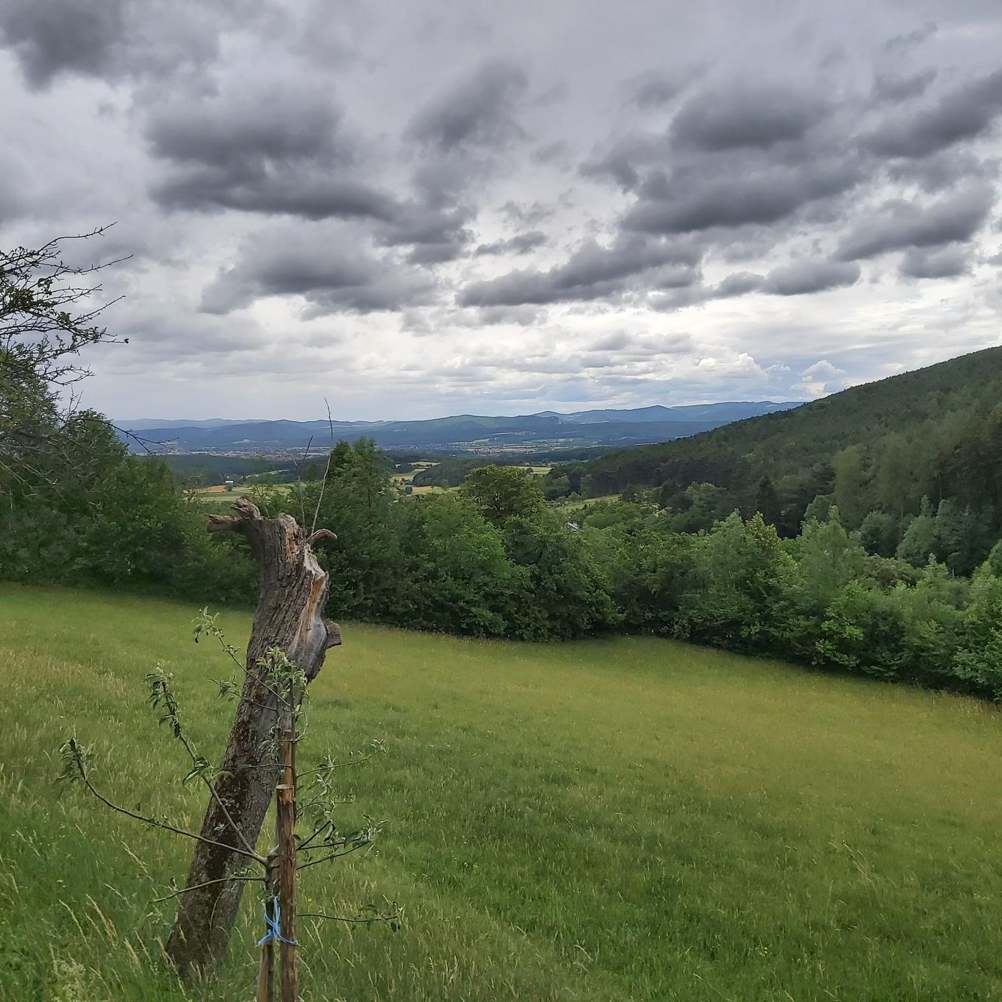
Road cycling routes in Sierningtal Flatzer Wand Nature Park traverse a landscape characterized by gentle, wooded hills ranging from 415 to 898 meters above sea level. The region features the romantic valley of the Sierningbach stream and a transition from Pannonian to Alpine climates, supporting diverse flora and fauna. Road cyclists can expect mostly paved surfaces, with options for varied elevation gains across the park's terrain.
Best road cycling routes in Sierningtal Flatzer Wand Nature Park
- The most popular road…
Last updated: July 15, 2026
5
riders
Easy road ride. Great for any fitness level. Mostly well-paved surfaces and easy to ride.
5
riders
18.0km
00:51
230m
230m
Easy road ride. Great for any fitness level. Mostly well-paved surfaces and easy to ride.

Sign up for free
5.0
(1)
60
riders
83.0km
03:51
900m
900m
Moderate road ride. Good fitness required. Mostly well-paved surfaces and easy to ride.
5.0
(10)
38
riders
61.3km
02:57
700m
700m
Moderate road ride. Good fitness required. Mostly well-paved surfaces and easy to ride.
4.0
(2)
45
riders
52.6km
03:03
1,160m
1,160m
Hard road ride. Very good fitness required. Mostly well-paved surfaces and easy to ride.
Get access to more routes and recommendations from other explorers.
Sign up for free
Already have an account?
Our route recommendations are based on thousands of hikes, rides, and runs completed by other people on komoot.
Start today with a free account
Your next adventure awaits.
Login or Signup
Popular around Sierningtal Flatzer Wand Nature Park
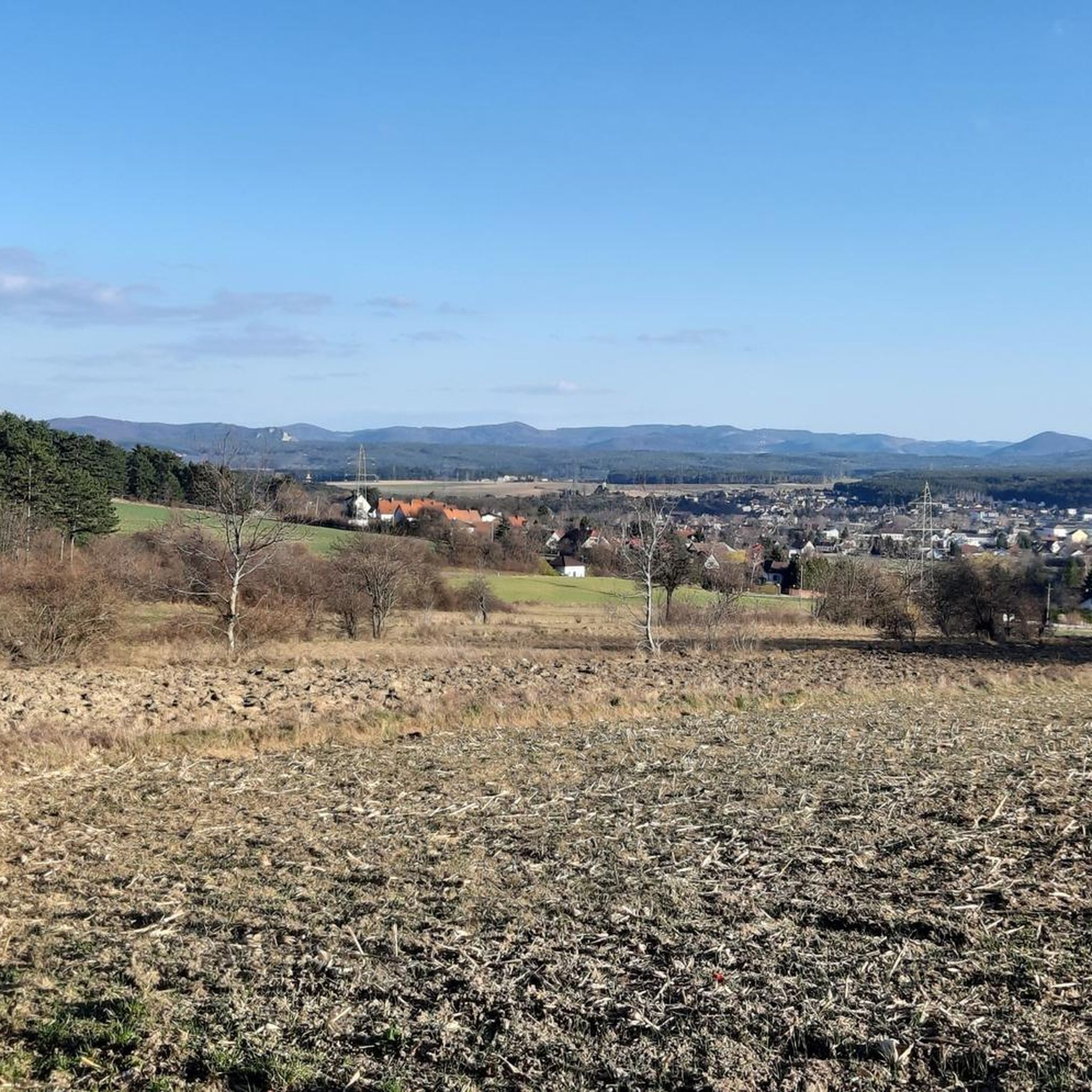
Cycling in Sierningtal Flatzer Wand Nature Park
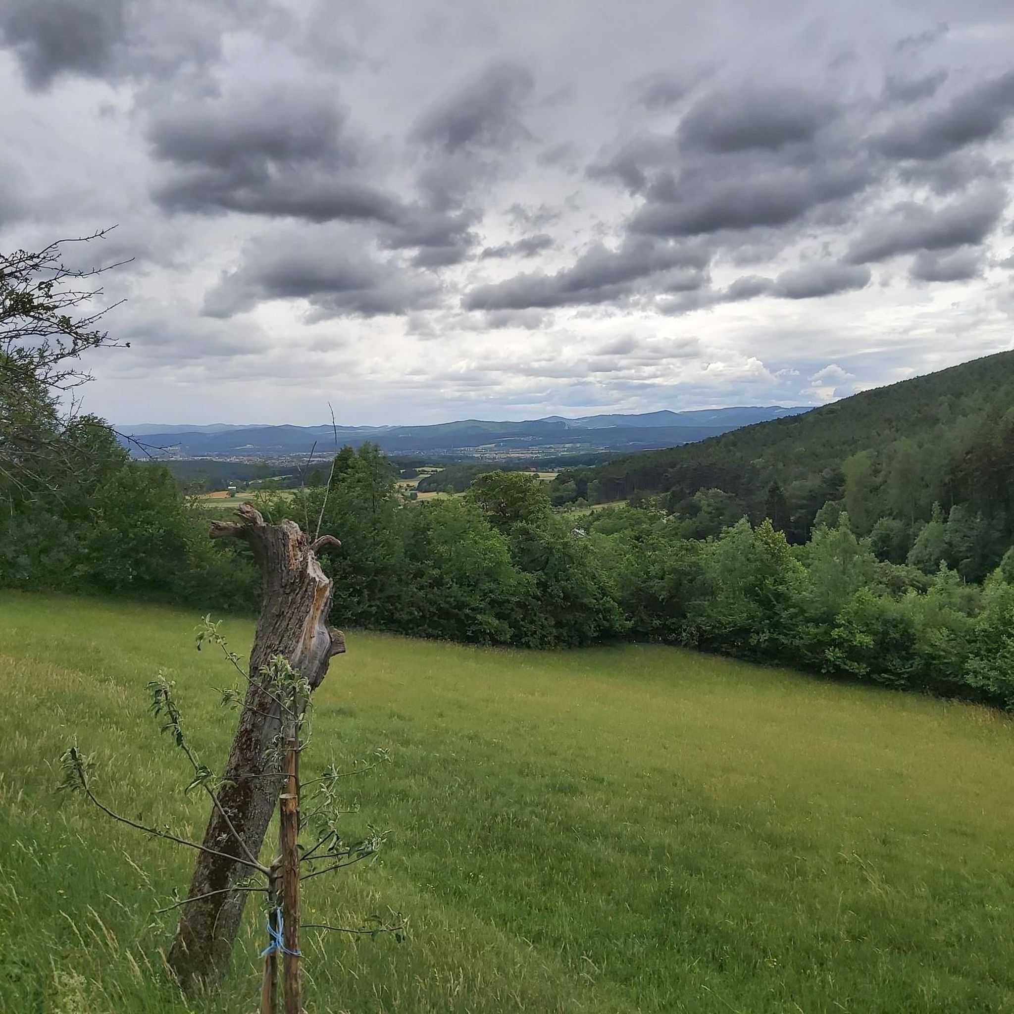
MTB Trails in Sierningtal Flatzer Wand Nature Park
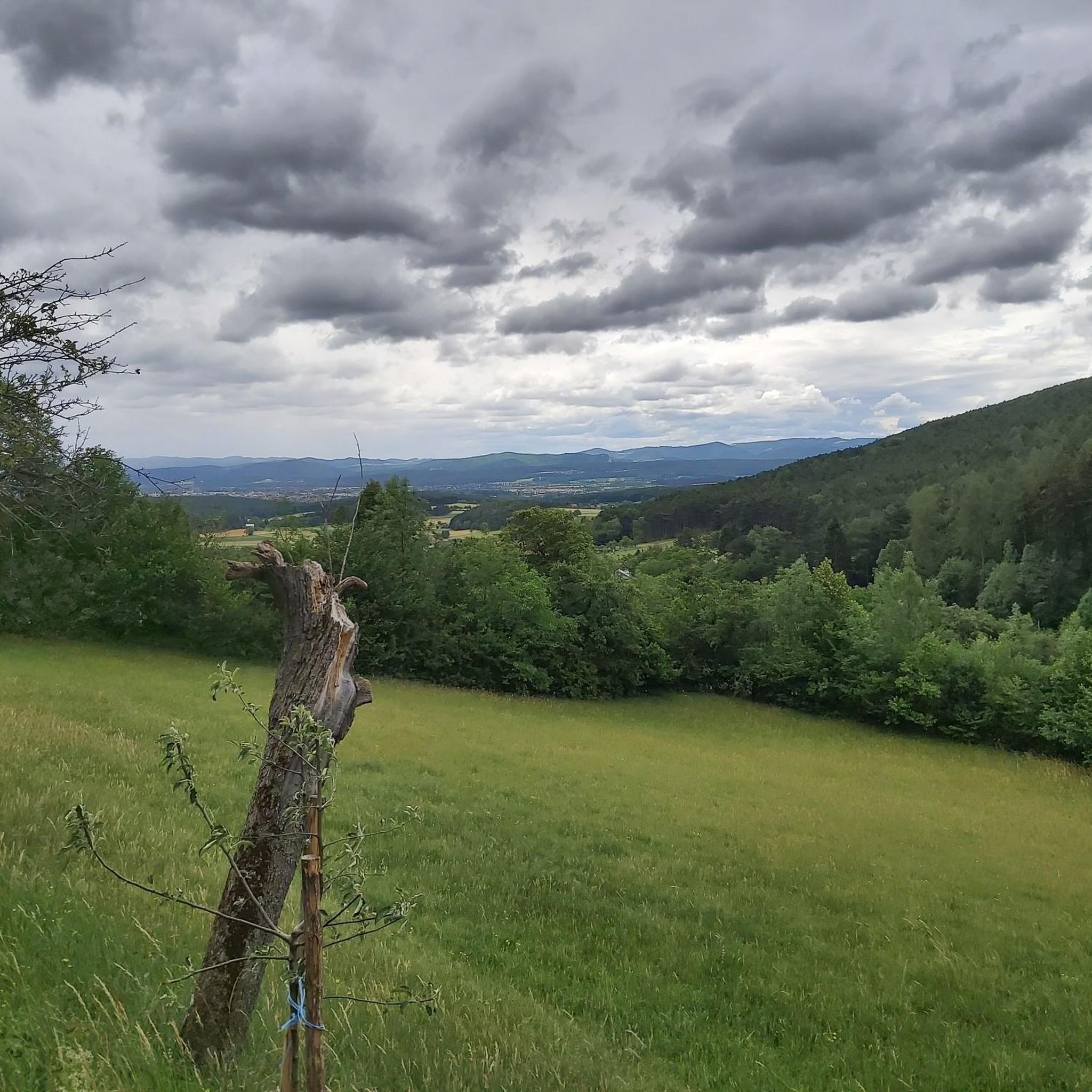
Hiking in Sierningtal Flatzer Wand Nature Park
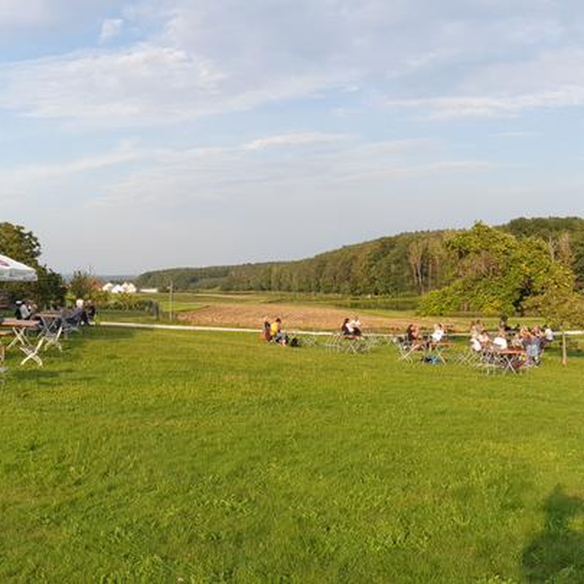
Mountain Hikes in Sierningtal Flatzer Wand Nature Park
Running Trails in Sierningtal Flatzer Wand Nature Park
Gravel biking in Sierningtal Flatzer Wand Nature Park
Tips from the Community

My homeland, definitely take the easy mountain classification towards Hinternaßwald, 7.5 km from B27
0
0

The dishes offered and the selection are very good. The staff is particularly friendly and attentive to the guests. The price level is appropriate.
1
0

The Höllentalschlucht is a particularly impressive section of the Höllental valley, characterized by steep limestone walls and the deeply incised course of the Schwarza river. A wild, primeval atmosphere is created between narrow rock formations and wooded slopes. A striking landscape area that impressively reflects the alpine drama of the Vienna Alps.
4
0
The Höllentalklamm is an impressive gorge section in the Großer Höllental with steep rock faces and wild streams. The trail leads variedly over footbridges, steps, and narrow paths through the narrow gorge and requires surefootedness. A natural section that makes the powerful side of the Rax landscape particularly intensely experienceable.
4
0
During a walk through the Rosengarten Pitten, you stroll past 2,600 rose bushes of 100 different species. Rose arches with stone benches envelop visitors in unmistakable fragrances.
0
0
At the entrance to Mahrersdorf, a lovingly designed wooden welcome sign with a beautiful, handcrafted inscription greets you. The natural wood blends harmoniously into the rural surroundings and gives the small village a particularly inviting character.
2
0

A wonderful place for an autumn walk
0
0

Frequently Asked Questions
What kind of terrain can I expect on road cycling routes in Sierningtal Flatzer Wand Nature Park?
The region features a mix of gentle, wooded hills and the romantic valley of the Sierningbach stream. Routes generally have mostly paved surfaces, with elevation gains varying from moderate climbs to more challenging ascents, catering to different fitness levels. You'll find routes with up to 500 feet of elevation gain over shorter distances, and more demanding rides exceeding 1500 feet over longer durations.
Are there road cycling routes suitable for beginners or families in Sierningtal Flatzer Wand Nature Park?
Yes, the park offers routes suitable for various skill levels. While some routes are more challenging, many are described as having mostly paved surfaces and are suitable for all skill levels. For example, the guide lists 38 easy routes, making it possible to find options for less experienced riders or families looking for a more relaxed ride.
Where can I find challenging road cycling routes in the area?
For experienced road cyclists seeking a challenge, the Sierningtal Flatzer Wand Nature Park offers several difficult routes. One notable option is the Forchtenstein Serpentines – View of Burg Sebenstein loop from Ternitz, which is a difficult 51.9-mile (83.5 km) path with significant elevation gain. Another demanding route is the Kranichberg Castle – Ramssattel loop from Ternitz, covering 52.5 km with over 1100 meters of elevation.
What are the best times of year for road cycling in Sierningtal Flatzer Wand Nature Park?
Given the region's transition from Pannonian to Alpine climates, spring through autumn generally offers the most pleasant conditions for road cycling. The gentle, wooded hills and diverse flora are particularly beautiful during these seasons. Always check local weather forecasts before heading out.
Are there any circular road cycling routes in Sierningtal Flatzer Wand Nature Park?
Yes, many of the routes in the park are designed as loops. For instance, you can explore the Stixenstein Castle – Sieding Nature Park loop from Katastralgemeinde Mahrersdorf, which is a moderate 10.2-mile (16.4 km) circular trail. Another option is the Neusiedler Pond – View of Schneeberg loop from Ternitz, a 29.3-mile (47.1 km) loop with varied terrain.
What scenic viewpoints can I find along road cycling routes in the park?
Road cyclists can enjoy several panoramic viewpoints. The Gfieder lookout point offers impressive views of the Schneeberg, Hochwechsel, and Rosalien mountains. The Gösing Summit (898 m) also provides scenic vistas. You might also encounter the Heahnakräuln Viewpoint.
What natural attractions can I see while road cycling in Sierningtal Flatzer Wand Nature Park?
The park is rich in natural features. You might encounter unique natural monuments like the imposing Fleischesser Pine and the distinctive Chair Trees. The Warme Luke Cave, a rocky niche known for warm air currents, is another interesting spot.
Are there any historical landmarks or cultural attractions along the routes?
Yes, the medieval Stixenstein Castle is a prominent historical sight in the area, adding a cultural dimension to your cycling tours. The Stixenstein Castle – Sieding Nature Park loop from Katastralgemeinde Mahrersdorf specifically features views of this castle.
Where can I find places to eat or refresh myself near the road cycling trails?
For refreshments, the Sierningtal nature park hut and various inns are available within the region. You can also find facilities at the Sierningtal-Flatzer Wand Nature Park Center and the Neunkirchen Naturefriends' House.
How many road cycling routes are available in Sierningtal Flatzer Wand Nature Park?
There are over 180 road cycling routes available in Sierningtal Flatzer Wand Nature Park, offering a wide range of options for different skill levels and preferences. This includes 38 easy, 116 moderate, and 33 difficult routes.
What do other road cyclists say about the routes in Sierningtal Flatzer Wand Nature Park?
The routes in Sierningtal Flatzer Wand Nature Park are highly rated by the komoot community, with an average score of 4.7 stars from over 200 reviews. Cyclists often praise the varied terrain, the scenic beauty of the wooded hills, and the panoramic viewpoints like Gfieder.
Can I use public transport to reach the road cycling trails?
While specific public transport connections to individual trailheads are not detailed, the municipality of Ternitz serves as a good starting point for many routes. It's advisable to check local public transport schedules and routes to Ternitz or other nearby towns for the most convenient access.
Are there maps available for the road cycling routes?
Yes, komoot provides detailed maps for all road cycling routes in Sierningtal Flatzer Wand Nature Park. You can access these maps, along with tips and photos from other cyclists, directly on the komoot platform for each specific route.
Most popular routes in Sierningtal Flatzer Wand Nature Park
Most popular attractions in Sierningtal Flatzer Wand Nature Park

Get inspired with the komoot mobile app


Explore more
Browse the best Road cycling routes in other regions.
