The best walks and hikes around Pinzberg
4.3
(236)
768
hikers
46
hikes
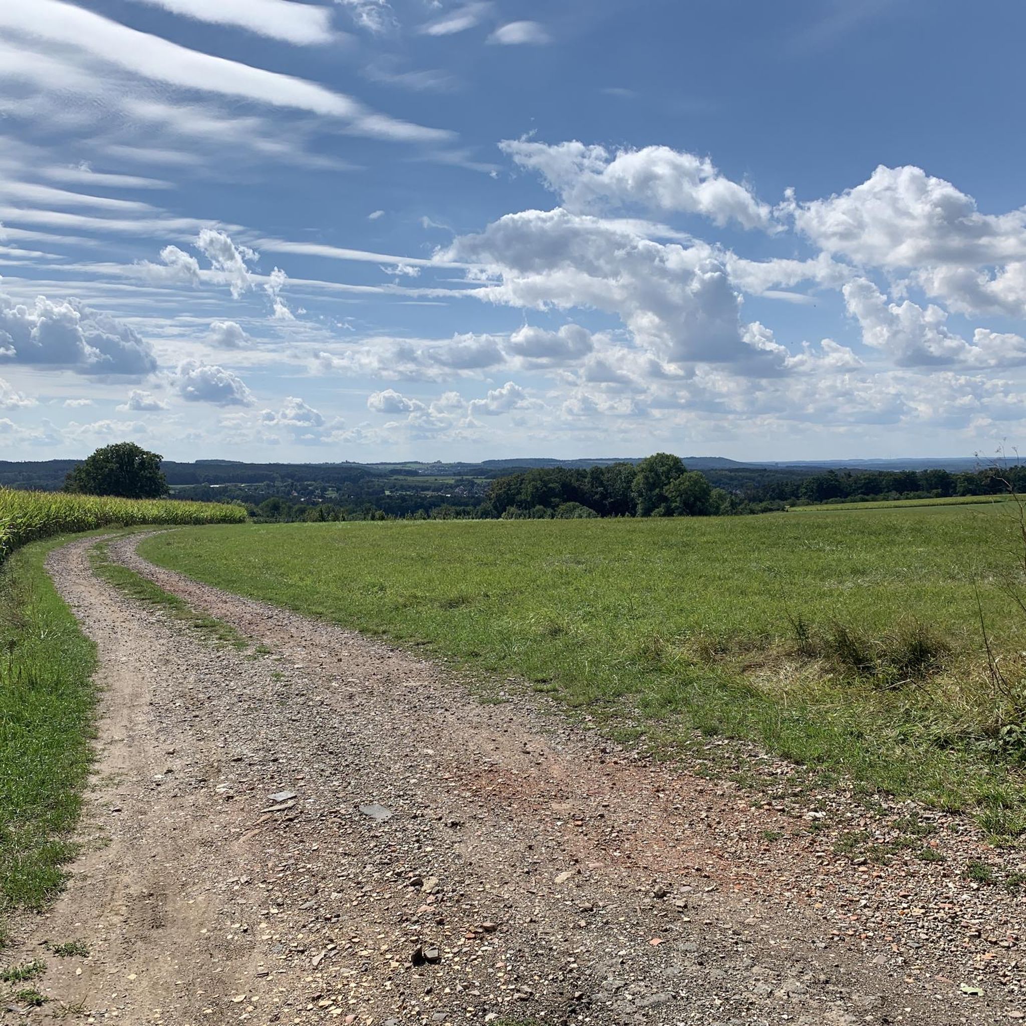
Hiking trails around Pinzberg traverse a landscape characterized by rolling hills, dense woodlands, and open fields. The region features a mix of natural scenery and historical landmarks, including churches and castles. Elevation changes are generally moderate, making the area suitable for various hiking abilities.
Best hiking trails around Pinzberg
- The most popular hiking route is Erzählkugel Sculpture – Wiesenthauer Needle loop from Gosberg, a 9.9 miles (15.9 km) trail that takes 4 hours 20 minutes to complete. This moderate…
Last updated: October 15, 2026
4.7
(71)
234
hikers
7.95km
02:07
80m
80m
Moderate hike. Good fitness required. Easily-accessible paths. Suitable for all skill levels.
4.6
(15)
64
hikers
15.4km
04:13
240m
240m
Moderate hike. Good fitness required. Easily-accessible paths. Suitable for all skill levels.

3.1
(8)
35
hikers
17.4km
04:39
210m
210m
Moderate hike. Good fitness required. Easily-accessible paths. Suitable for all skill levels.
4.7
(7)
33
hikers
9.94km
02:42
150m
150m
Moderate hike. Good fitness required. Easily-accessible paths. Suitable for all skill levels.
4.3
(10)
34
hikers
Easy hike. Great for any fitness level. Easily-accessible paths. Suitable for all skill levels.
Get access to more routes and recommendations from other explorers.
Already have an account?
Our route recommendations are based on thousands of hikes, rides, and runs completed by other people on komoot.
Start today with a free account
Your next adventure awaits.


Tips from the Community

Good homemade cake and pies with a beautiful view over Forchheim, Walberla and Co
0
0

The chapel, also known as "Walburgiskapelle" or "Sankt-Walburgis-Kapelle", was built in 1697, although a presumably wooden predecessor was already mentioned in a document in 1350. The church consecration festival, known as the "Walberla-Fest", traditionally takes place on the first weekend in May at the chapel's location. The current chapel was built in 1697 by the Lords of Wiesenthau. Particularly striking is the bronze statue of Saint Walburga, which stands in front of the chapel and was inaugurated in 2000.
0
0
The St.-Walburgis-Kapelle on the Walberla plateau (more precisely: the Ehrenbürg) is a well-known landmark in the Franconian Jura. The chapel is located on the northern point of the plateau, the so-called Walberla (approx. 514 m), which is part of the Ehrenbürg massif (up to 532 m) in the Forchheim district. The place is dedicated to Saint Walburga, a Benedictine abbess from the 8th century, who is considered a patron saint against plague, distress, and for farmers. Traditionally, the Walberlafest takes place at the beginning of May (around May 1st), one of the oldest mountain festivals in Germany.
1
0
The entire summit area of the Ehrenbürg is designated as a protected archaeological site. Finds range from the Mesolithic (9500 to 5500 BC) and the subsequent Neolithic period (Linear Pottery culture, Michelsberg culture, and Corded Ware culture) with interruptions up to the Migration Period (approx. 350–550 AD). At least three periods have been proven in which the Ehrenbürg was fortified. In numerous areas from the summit of the Ehrenbürg, over the saddle to the summit of the Rodenstein, approximately 20,000 pits, which presumably served as storage or cellar pits, were discovered through excavations, but especially through magnetometer prospecting. This proves an extremely dense settlement within the complex for this period. Estimates of the population range from several thousand people – the most realistic figure is around 3000.
1
0
The St. Walpurgis pilgrimage chapel is located in Kirchehrenbach (district St. Walpurgis) in the Upper Franconian district of Forchheim and not in "Ehrenberg". The chapel is situated at an altitude of 507 m above sea level (NHN), approximately one and a half kilometers south of the church center of Kirchehrenbach, and is officially part of the municipality of Kirchehrenbach. Although the name is often associated with Walpurgis Night, the chapel is a pilgrimage site of the Archdiocese of Bamberg, which was first documented in 1350, and its current structure dates back to 1697. Traditionally, the so-called "Walberla-Fest" takes place here as a church consecration festival on the first weekend in May.
1
0
The Walberlafest 2026 begins on Thursday, April 30th, as May 1st falls on a Friday this year, and the opening is brought forward for this reason. The beer tapping and the setting up of the Maypole will take place on Thursday, April 30th, starting at approx. 5:00 PM, followed by festival operations until 11:00 PM.
0
0
This pilgrimage chapel was first mentioned in documents in the 14th century and stands on the high plateau of the mountain, to which a modern bronze statue of the patron saint also leads. The chapel venerates a 16th-century figure of Saint Walpurga and two 17th-century apostle figures. The pilgrimage developed into the annual Walberlafest, held on May 1st. The municipality of Kirchehrenbach features the mountain and the chapel in its coat of arms as a symbol of holy protection and local identity. Every year, the witches' festival "Heia Walpurgis!" also takes place on the Ehrenberg, celebrating the witch folk and often held on May 1st (Walpurgis Day).
1
0

Fascinating rock formations at the Franconian landmark Walberla.
1
0
Frequently Asked Questions
How many hiking trails are available around Pinzberg?
Pinzberg offers a diverse network of over 40 hiking trails. These routes traverse rolling hills, dense woodlands, and open fields, providing a mix of natural scenery and historical landmarks.
Are there easy hiking trails suitable for beginners or families in Pinzberg?
Yes, Pinzberg has plenty of options for easier walks. Over 20 of the trails are rated as easy, making them suitable for beginners or families. An example is the St. Nicholas Church, Pinzberg – St. Joseph Church Elsenberg loop from Pinzberg, which is a 2.1-mile (3.4 km) trail that takes about 55 minutes to complete.
What kind of historical landmarks can I see on hikes around Pinzberg?
Hiking trails in Pinzberg often pass by historical sites such as churches and castles. For instance, the Wiesenthau Castle – St. Lukas Church Kunreuth loop from Gosberg features both Wiesenthau Castle and St. Lukas Church. You can also explore highlights like Effeltrich Fortified Church and Dance Lime Tree or the Ruins of Thuisbrunn Castle.
Are there any circular hiking routes in Pinzberg?
Many of the trails around Pinzberg are designed as circular routes, allowing you to start and end at the same point. A popular moderate circular option is the Erzählkugel Sculpture – Wiesenthauer Needle loop from Gosberg, which is 9.9 miles (15.9 km) long.
What do other hikers say about the trails in Pinzberg?
The hiking routes in Pinzberg are highly rated by the komoot community, with an average score of 4.3 stars from over 200 reviews. Hikers often praise the varied terrain, which includes rolling hills and woodlands, and the well-maintained paths that lead to cultural landmarks.
Are there any gorges or natural monuments to explore near Pinzberg?
Yes, the region around Pinzberg features several interesting natural formations. You can discover gorges like Todsfeld valley, Indian Gorge, and Jägersburgergraben (Drum Gorge). The Affalterbach Spring is another notable natural monument in the area.
What is the typical elevation gain on hikes in Pinzberg?
Elevation changes in Pinzberg are generally moderate. While some routes like the Marian Chapel, Pinzberg – St. Lukas Church Kunreuth loop from Pinzberg can have over 200 meters of ascent, many easy trails feature less than 60 meters of elevation gain, making them accessible for various fitness levels.
Are there any trails that pass through local villages?
Yes, some routes are designed to take you through charming local villages, offering a glimpse into the regional culture. The St. Nicholas Church, Pinzberg – St. Joseph Church Elsenberg loop from Pinzberg is a good example, leading through villages and past churches.
What is the best time of year for hiking in Pinzberg?
Pinzberg's landscape of rolling hills and woodlands is enjoyable throughout much of the year. Spring and autumn offer pleasant temperatures and vibrant scenery, while summer provides longer daylight hours. Winter hikes are also possible, though conditions may vary.
Are there any specific points of interest or sculptures along the trails?
Yes, you can encounter unique points of interest. For example, the Erzählkugel Sculpture – Wiesenthauer Needle loop from Gosberg passes by the prominent Wiesenthauer Needle and the Erzählkugel Sculpture, offering interesting sights during your hike.
What is the longest moderate hike available in Pinzberg?
One of the longer moderate hikes is the Wiesenthau Castle – St. Lukas Church Kunreuth loop from Gosberg. This trail covers 10.9 miles (17.5 km) and takes approximately 4 hours and 40 minutes to complete, featuring historical sites along the way.
Most popular routes around Pinzberg
Most popular attractions around Pinzberg

Get inspired with the komoot mobile app


Explore more
Browse the best Hikes in other regions.
