The best running trails in Thayatal National Park
3.4
(9)
119
runners
14
runs
Jogging in Thayatal National Park offers routes through one of Central Europe's last natural valley landscapes, characterized by the meandering Thaya River gorge and steep hillside forests. The park, located in northeastern Austria along the Czech border, features diverse terrain including dense mixed forests, dry grasslands on rocky plateaus, and geological formations of granite and gneiss. This environment provides varied running experiences across its extensive trail network.
Best jogging routes in Thayatal National Park
- The most popular jogging route is…
Last updated: July 2, 2026
14
runners
13.2km
01:23
90m
90m
Moderate run. Good fitness required. Mostly paved surfaces. Suitable for all skill levels.
1.0
(1)
6
runners
5.28km
00:35
110m
110m
Moderate run. Good fitness required. Mostly paved surfaces. Suitable for all skill levels.

Sign up for free
21
runners
8.97km
00:56
50m
50m
Moderate run. Good fitness required. Mostly paved surfaces. Suitable for all skill levels.
3
runners
12.3km
01:27
230m
230m
Moderate run. Good fitness required. Mostly paved surfaces. Suitable for all skill levels.
2
runners
7.71km
00:51
140m
140m
Moderate run. Good fitness required. Mostly paved surfaces. Suitable for all skill levels.
Get access to more routes and recommendations from other explorers.
Sign up for free
Already have an account?
Our route recommendations are based on thousands of hikes, rides, and runs completed by other people on komoot.
Start today with a free account
Your next adventure awaits.
Login or Signup
Popular around Thayatal National Park
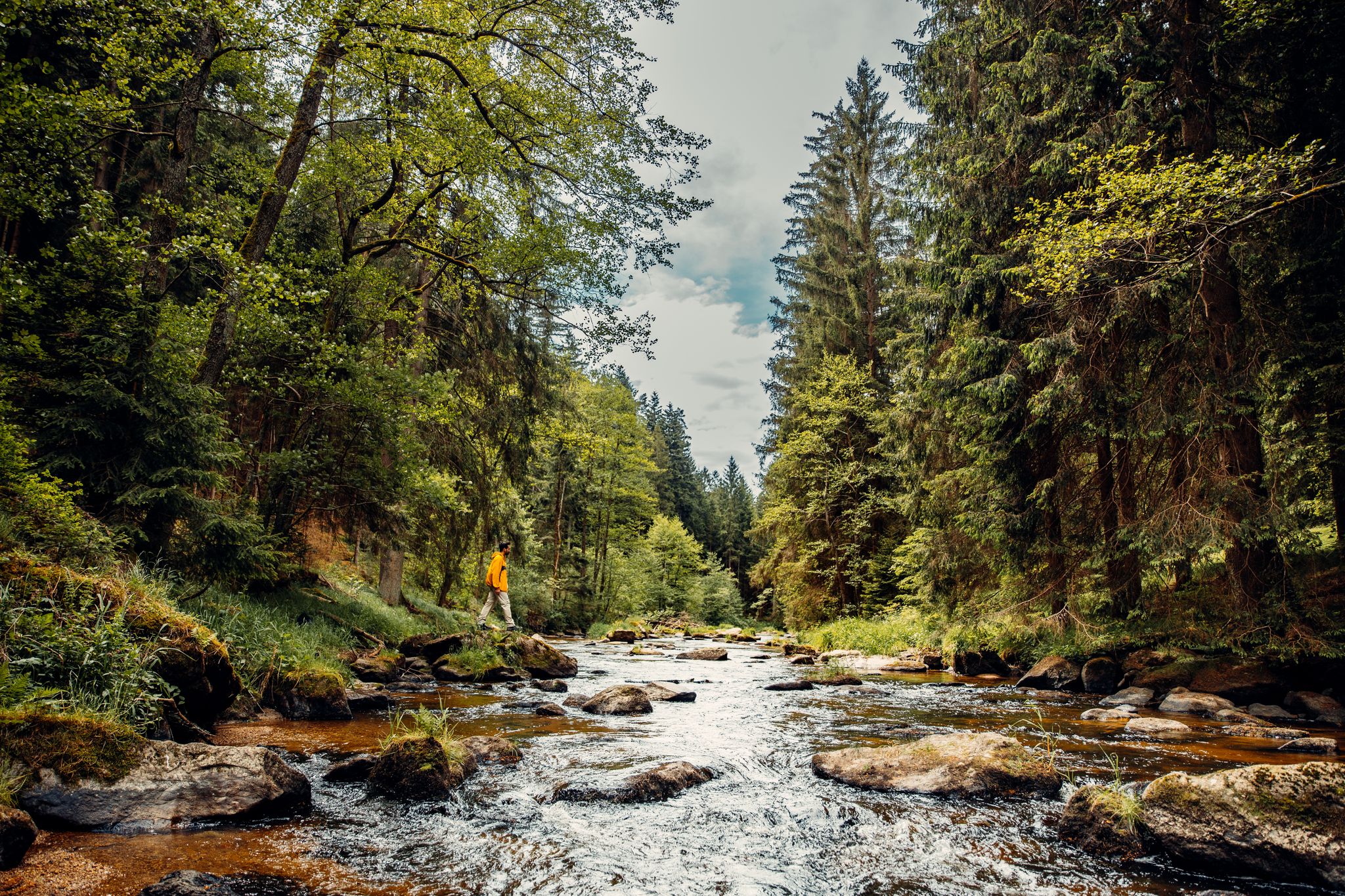
Cliffs, a gorge and vineyards – day hikes in the Waldviertel
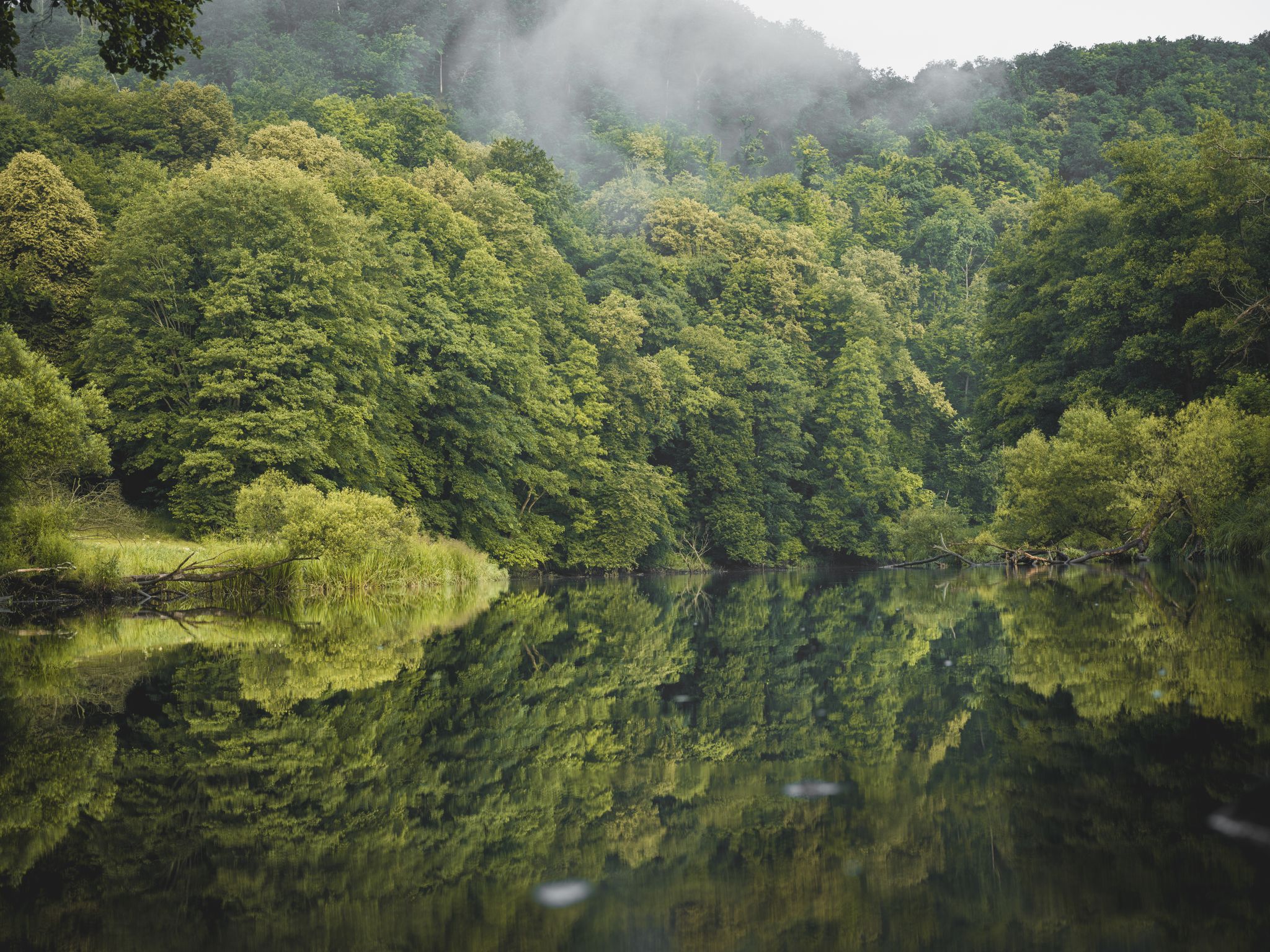
Discover the Thayatal National Park
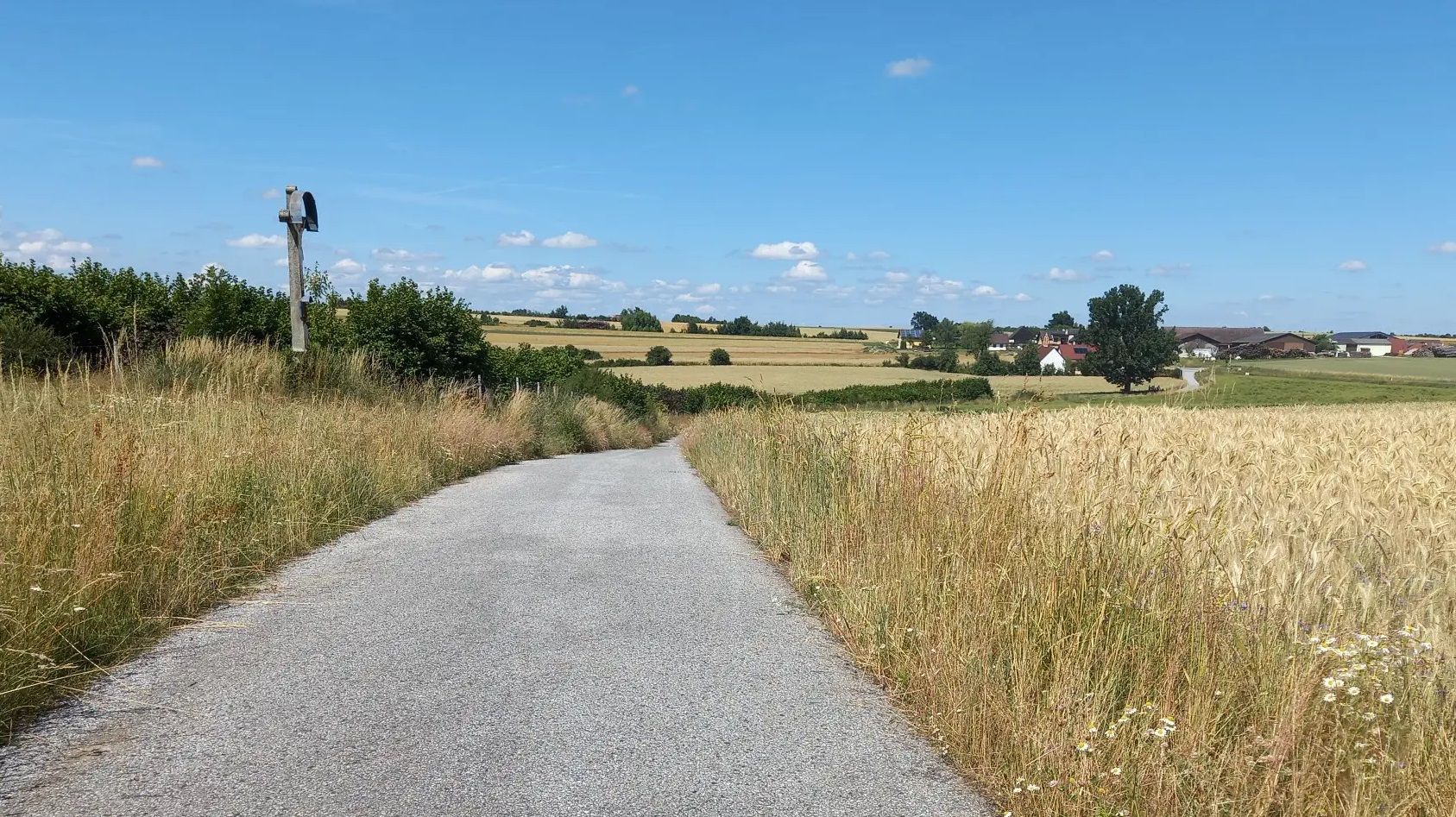
Cycling away from the crowds – Austria’s Kamp-Thaya-March Cycle Route
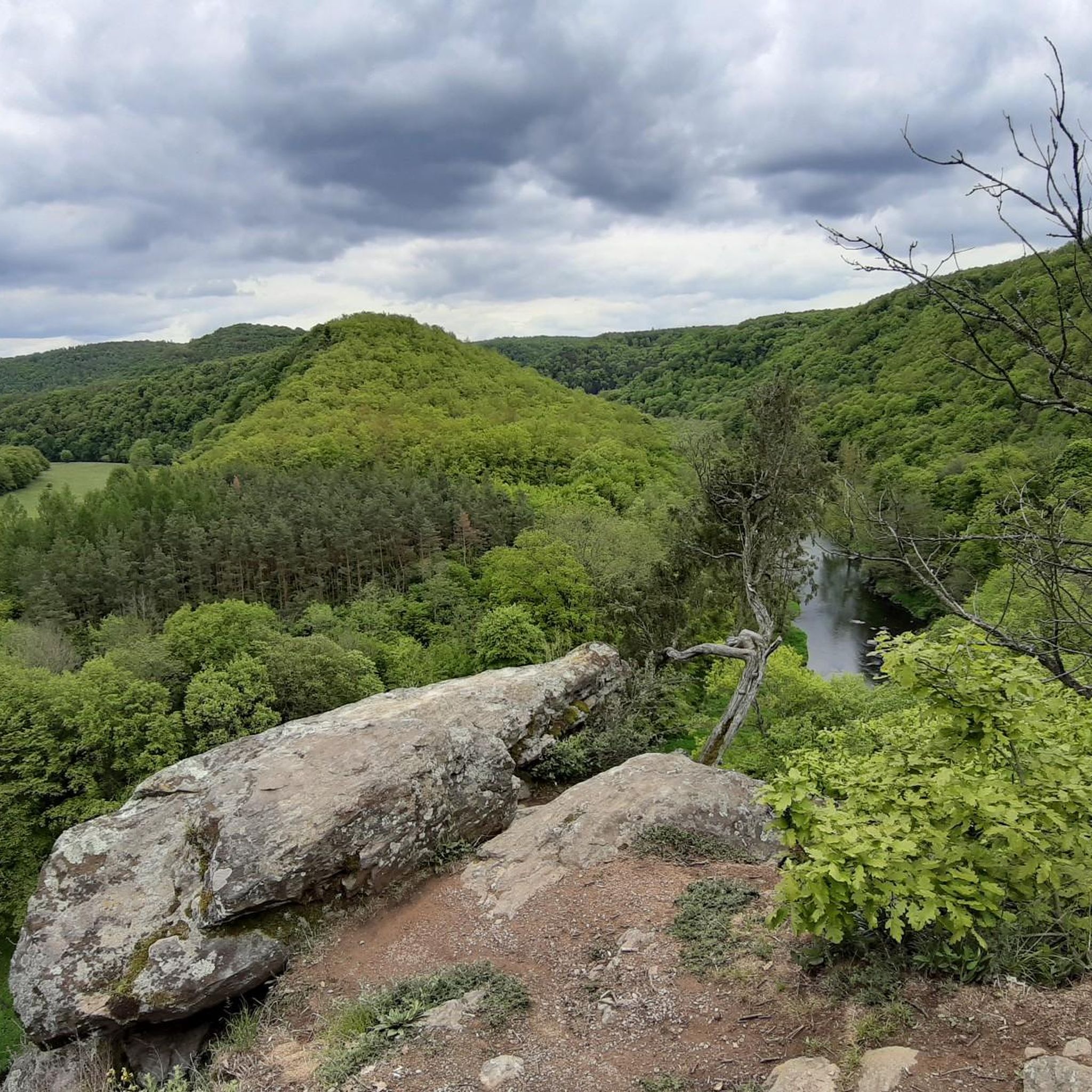
Hiking in Thayatal National Park
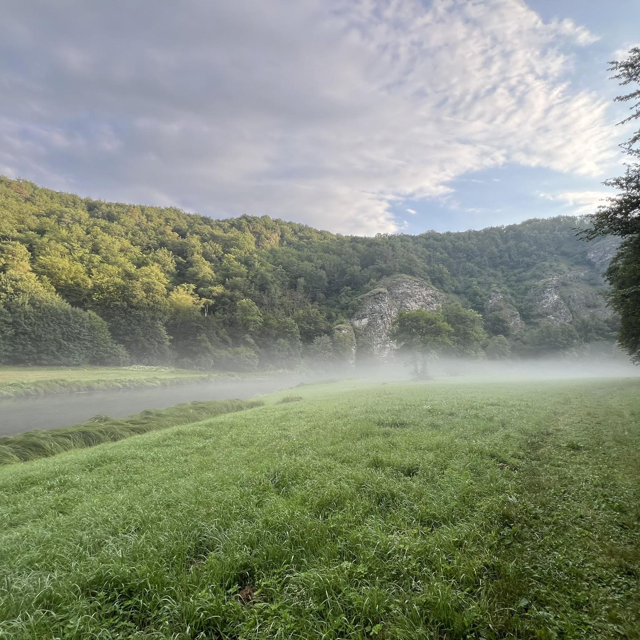
Cycling in Thayatal National Park
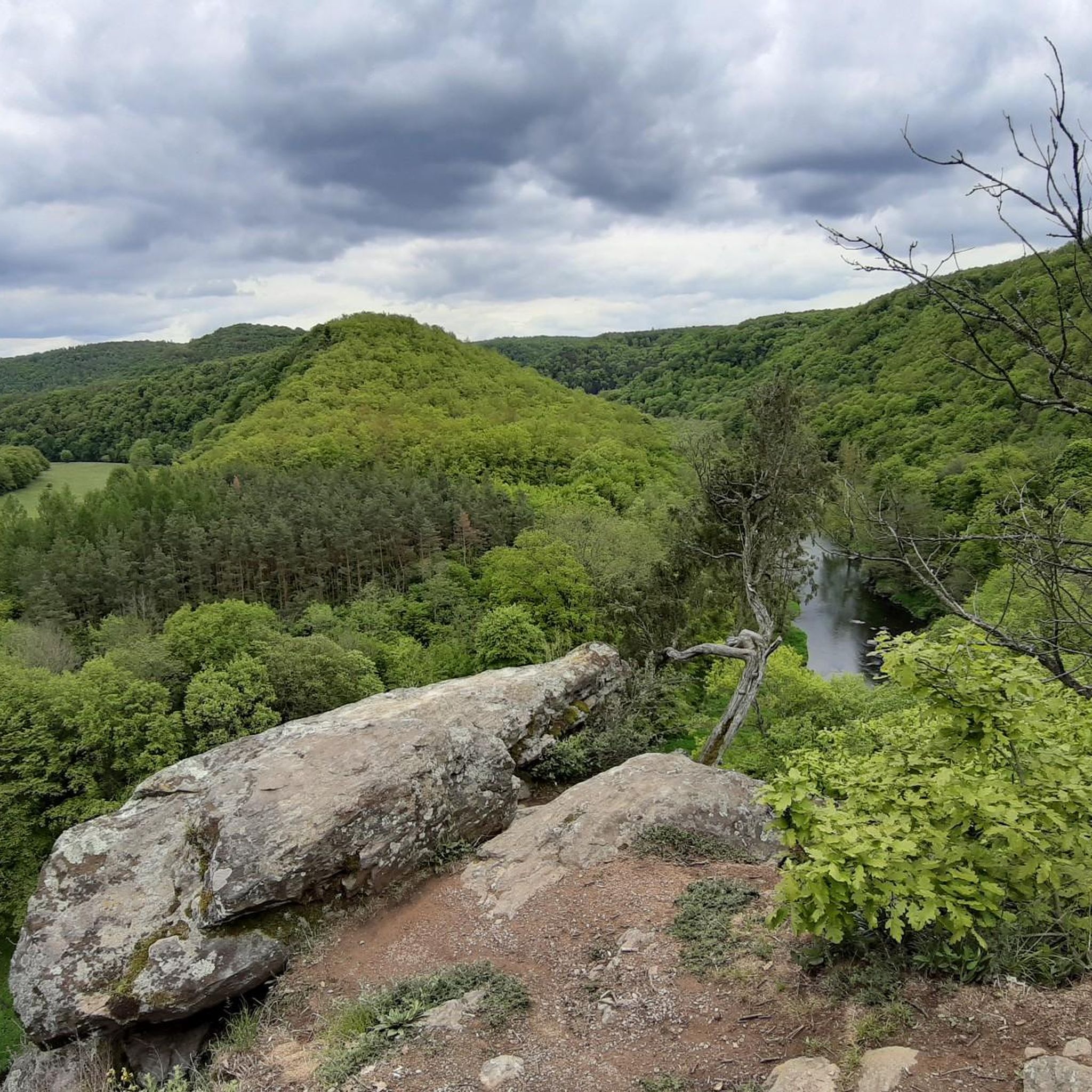
MTB Trails in Thayatal National Park
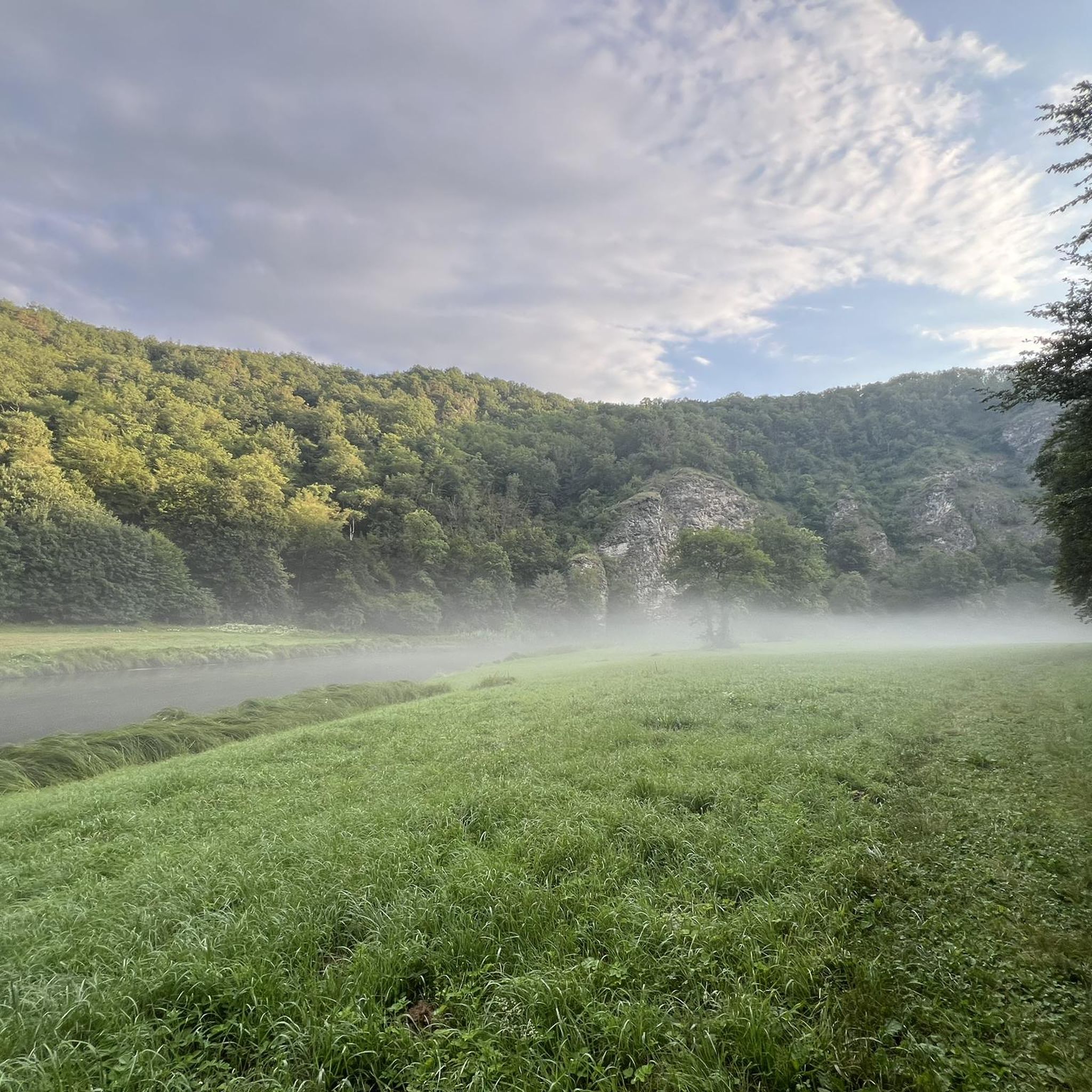
Road Cycling Routes in Thayatal National Park
Other adventures in Thayatal National Park


Tips from the Community

Seen from the city center, the Znaim Gate presents a cheerful face...
0
0

Very interesting building. You can climb the tower and get a view over Retz.
0
0

Very interesting suspension bridge over the Vranov reservoir.
0
0
Very nice view of the reservoir from the suspension bridge.
0
0
Very nice bridge over the Vranov reservoir with a beautiful view of the reservoir.
0
0


From the dam you have a beautiful view of the reservoir with the campsite and the new suspension bridge and on the other side of the Thaya Valley.
2
0
Frequently Asked Questions
How many running routes are available in Thayatal National Park?
Thayatal National Park offers a diverse network of around 14 running routes. These trails cater to various fitness levels, with options ranging from easy paths to more challenging runs through the park's unique landscape.
Are there easy running routes suitable for beginners or families in Thayatal National Park?
Yes, Thayatal National Park features several easier running options. For instance, the region research mentions the Hardegger Circle Trail, which is approximately 5 km (3 miles) long with minimal elevation gain, making it a pleasant choice for a leisurely jog. There are 2 routes specifically rated as easy within the park's network.
What kind of terrain can I expect on the jogging trails in Thayatal National Park?
The terrain in Thayatal National Park is quite varied, reflecting its unique natural valley landscape. You can expect trails winding through dense mixed forests, along the meandering Thaya River, and across dry grasslands on rocky plateaus. Some routes feature steep hillside sections and near-vertical rock faces, while others offer softer meadows and tranquil riverbanks.
Are there any circular running routes in Thayatal National Park?
Yes, many of the running routes in Thayatal National Park are designed as loops, offering a convenient way to explore the area. For example, the Vranov Dam Suspension Bridge loop from Onšov is a moderate 5.3 km (3.3 miles) circular path. Another option is the Vranov Dam Suspension Bridge loop from vodní nádrž Vranov, which covers 7.7 km (4.8 miles).
What interesting sights or landmarks can I see along the running routes?
The routes in Thayatal National Park often pass by significant natural and historical attractions. You might encounter the majestic Hardegg Castle overlooking the Thaya valley, or the historic Kaja Castle Ruins. Natural highlights include the dramatic Kajabach Valley and the breathtaking View of the Thaya River bend from Umlaufberg, a unique meander mountain.
What do other runners enjoy most about jogging in Thayatal National Park?
The running routes in Thayatal National Park are highly rated by the komoot community, with an average score of 3.4 stars from over 9 reviews. Runners frequently praise the park's pristine natural beauty, the serene escape into nature, and the varied terrain that offers both challenging ascents and peaceful riverside paths. The opportunity to run through one of Central Europe's last natural valley landscapes is a key highlight.
Are there any routes that offer views of the Thaya River?
Absolutely. The Thaya River is a central feature of the park, and many routes offer stunning views of its meandering course. The Thayatalweg (Thaya Valley Trail), for example, leads alongside the river towards the Umlaufberg, providing impressive valley vistas. You can also find the Natural Trail Along the Thaya River, which is a highlight in itself.
Can I access the running trails using public transport?
While specific public transport details for each trailhead are best checked locally, Thayatal National Park is generally accessible. For detailed information on reaching the park via public transport, it's advisable to consult regional transport schedules or the official National Park website, such as nationalparksaustria.at.
What is the best season for running in Thayatal National Park?
Thayatal National Park offers a beautiful running experience throughout much of the year. Spring and autumn are particularly popular due to mild temperatures and vibrant foliage. The diverse ecosystem, influenced by both Alpine and continental climates, means conditions can vary, so checking local weather forecasts before your run is always recommended.
Are there any running routes that cross into the Czech Republic?
Yes, Thayatal National Park shares a border with the Czech Národní Park Podyjí. A bridge from Hardegg allows visitors to walk into the Czech Republic, symbolizing international conservation efforts. While specific running routes crossing the border are not detailed in the guide, the presence of the Thaya River Border Crossing Bridge (Thayatal National Park) suggests opportunities for cross-border exploration, potentially extending your run into the neighboring park.
Are there any routes that are particularly good for spotting wildlife?
Thayatal National Park is a sanctuary for endangered species, including the European wildcat and the black stork. While wildlife sightings are never guaranteed, running through the dense mixed forests and along the Thaya River, especially on quieter trails like the Einsiedlerweg & Wildkatzenweg (Hermits and Wildcats Path), increases your chances of encountering some of the park's diverse fauna. The National Park House near Hardegg also features Austria's largest wildcat enclosure for guaranteed observation.
What are some of the longer running options in the park?
For those looking for a longer run, the Znaim Gate – Retz Main Square loop from Retz is a substantial 13.2 km (8.2 miles) trail. Another good option is the Running loop from Havraníky, which covers 12.3 km (7.6 miles) with a notable elevation gain, providing a good workout.
Most popular routes in Thayatal National Park
Most popular attractions in Thayatal National Park

Get inspired with the komoot mobile app


Explore more
Browse the best Running Trails & Routes in other regions.
