The best road cycling routes around Schnaittach
4.7
(55)
756
riders
57
rides
Road cycling routes around Schnaittach traverse a diverse landscape at the foot of the Albstufe, within the Schnaittach valley, and bordering the Franconian Switzerland-Veldenstein Forest Nature Park. The region features rolling hills, picturesque valleys, and dense forests, offering varied terrain for road cyclists. Elevations include challenging climbs towards features like Rothenberg mountain and Glatzenstein, providing both scenic vistas and demanding gradients.
Best road cycling routes in Schnaittach
- The most popular road cycling route is Scenic Road Through Hop Fields –…
Last updated: October 18, 2026
4.6
(5)
92
riders
Moderate road ride. Good fitness required. Mostly well-paved surfaces and easy to ride.
4.8
(4)
77
riders
Moderate road ride. Great for any fitness level. Some segments of this route may be unpaved and difficult to ride.

4.5
(4)
58
riders
Easy road ride. Great for any fitness level. Mostly well-paved surfaces and easy to ride.
3.7
(3)
45
riders
Easy road ride. Great for any fitness level. Mostly well-paved surfaces and easy to ride.
5.0
(3)
29
riders
59.2km
02:34
430m
430m
Moderate road ride. Good fitness required. Mostly well-paved surfaces and easy to ride.
Get access to more routes and recommendations from other explorers.
Already have an account?
Our route recommendations are based on thousands of hikes, rides, and runs completed by other people on komoot.
Start today with a free account
Your next adventure awaits.
Popular around Schnaittach
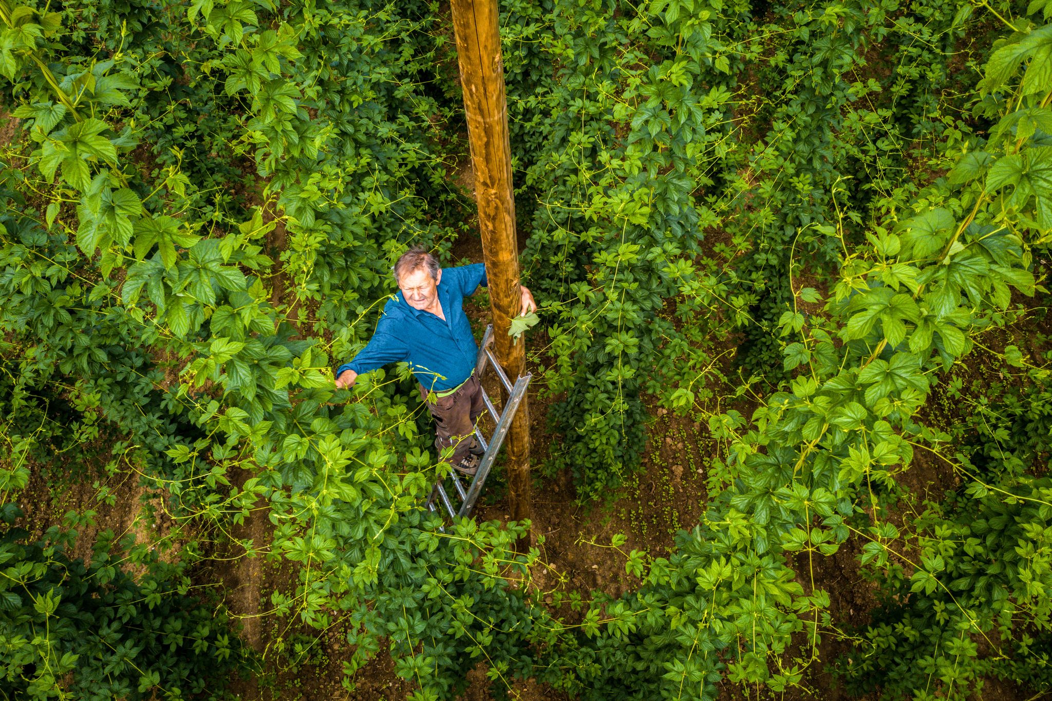
Hop Weeks in the Nürnberger Land – Hiking Trails Full of Delight
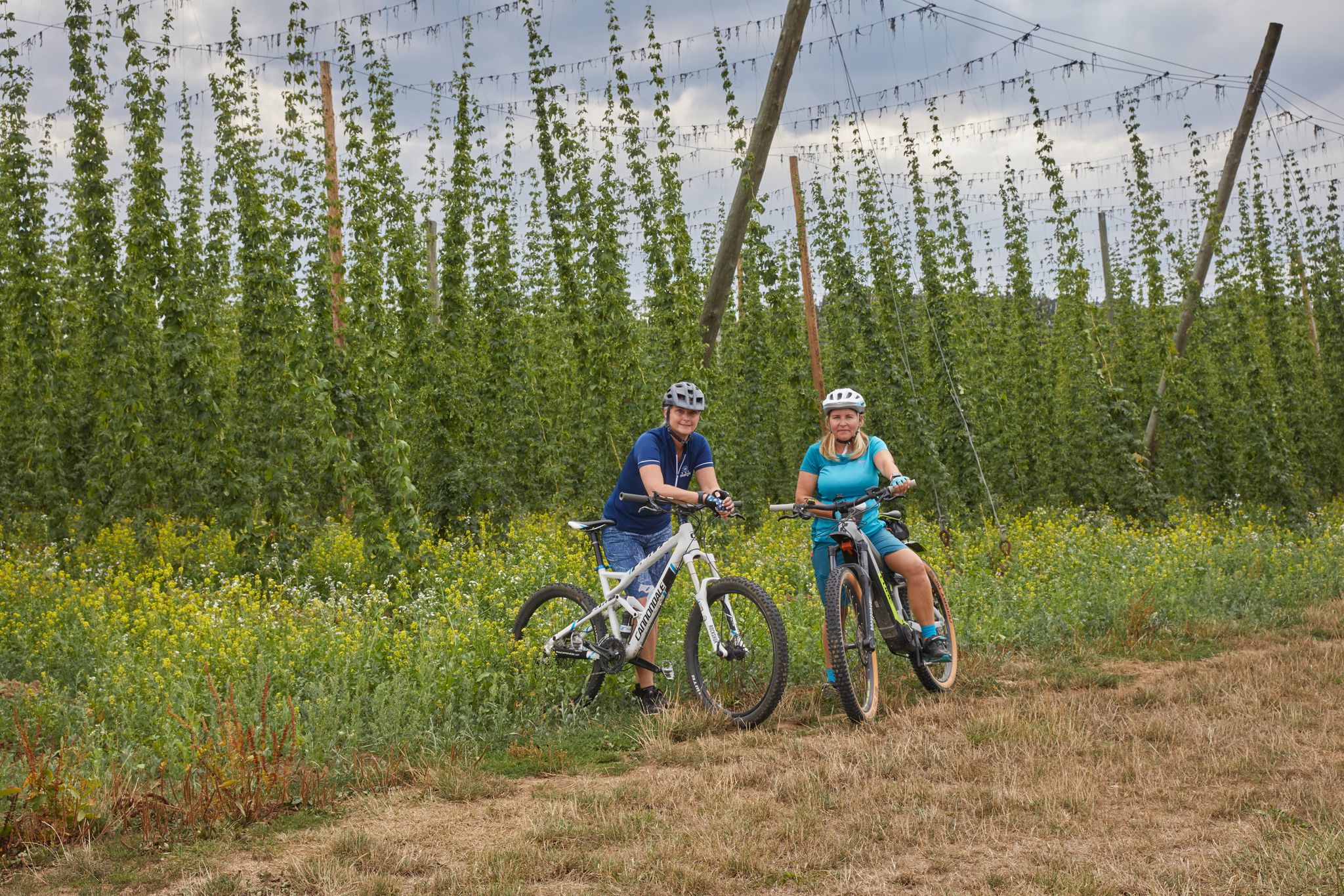
Cycling to the Hop Weeks in the Nuremberg Region
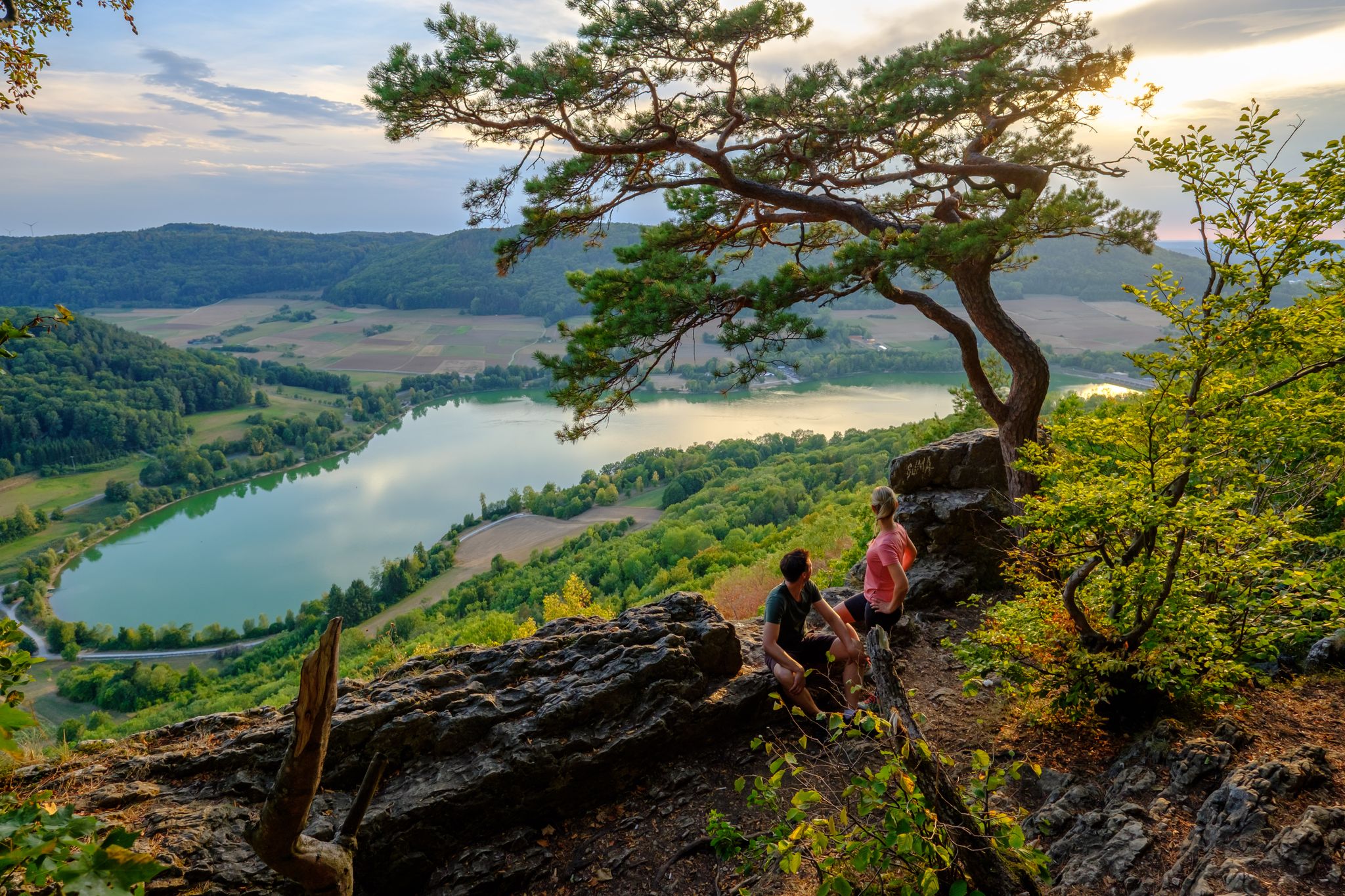
High up on the SevenSummits in the Nuremberg region
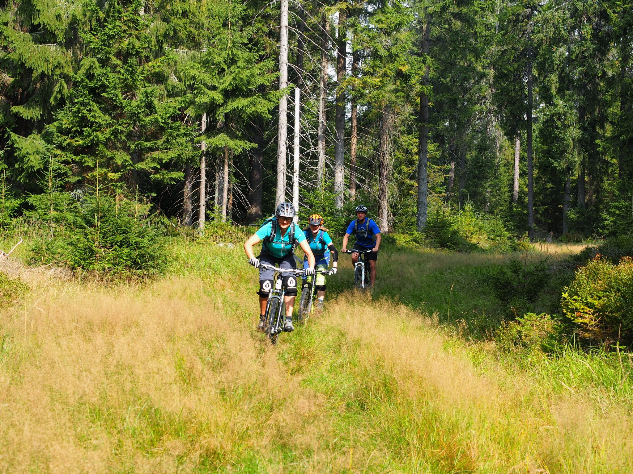
The best bike Tours around Nuremberg – MTB microadventures with the VGN
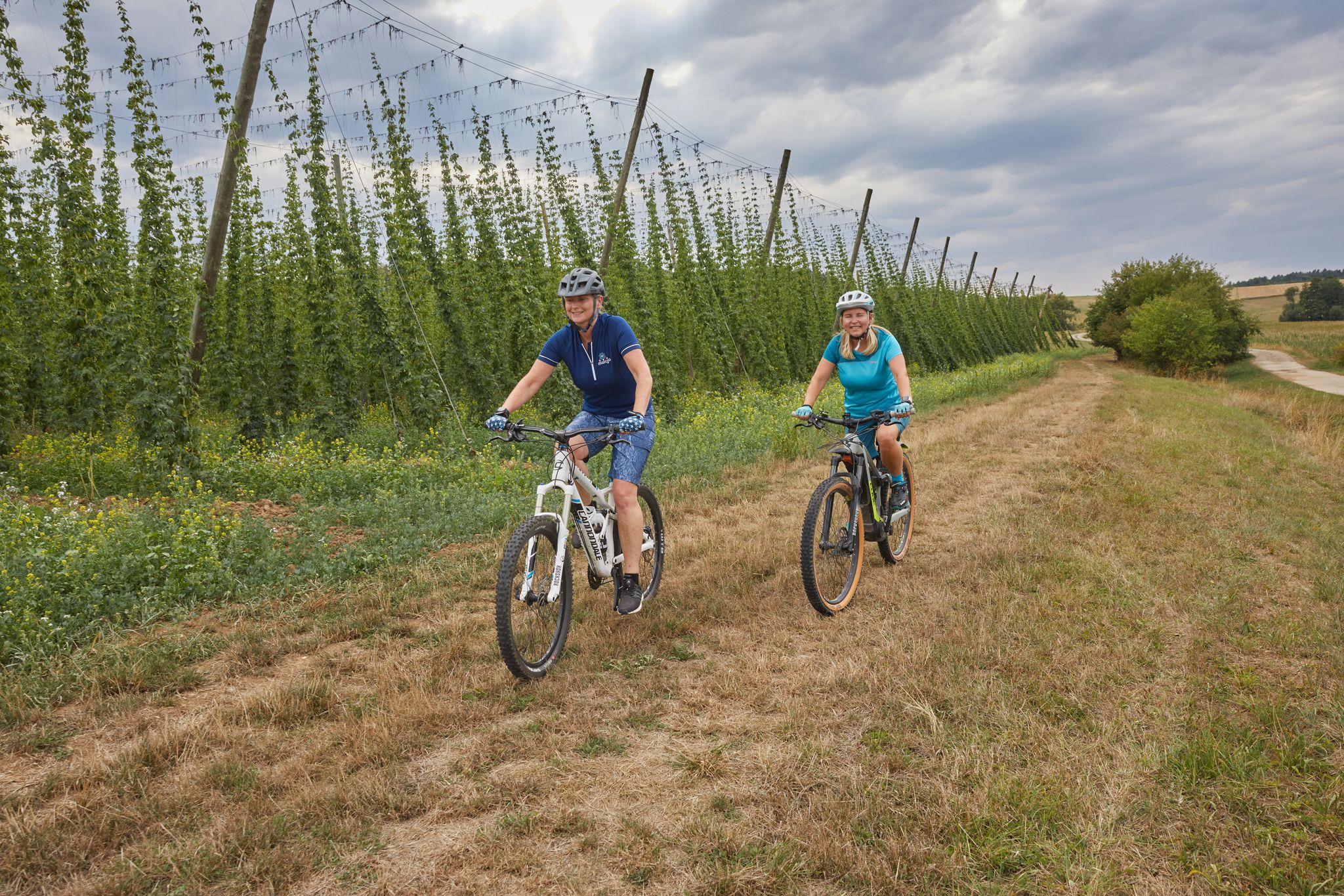
Explore the Nuremberg Land with all your senses – Sensory Cycle Path
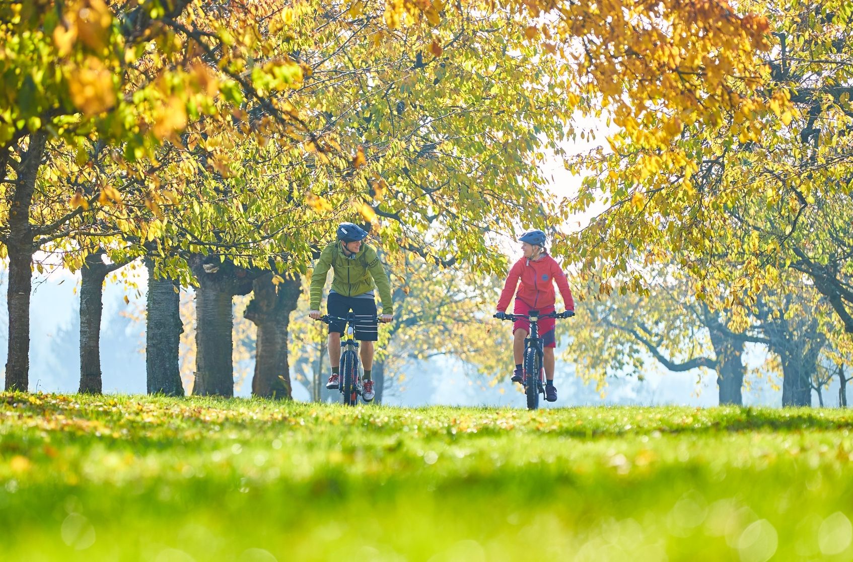
Get ready to explore — e-biking in Germany’s Nuremberg Region

The Franconian Trail – A Diverse Hiking Dream Across 24 Stages
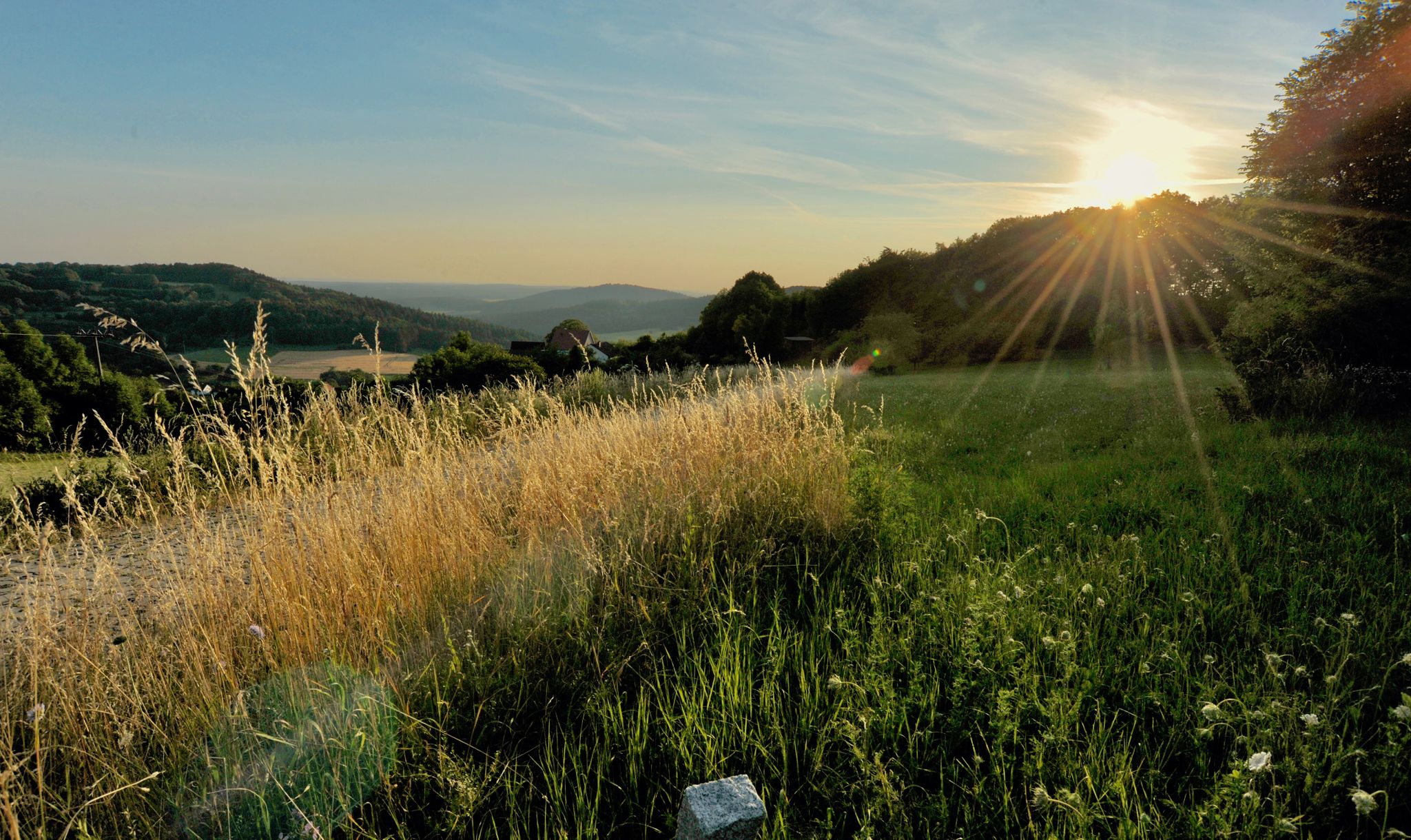
Hiking quiet paths through the Nürnberger Land in Bavaria
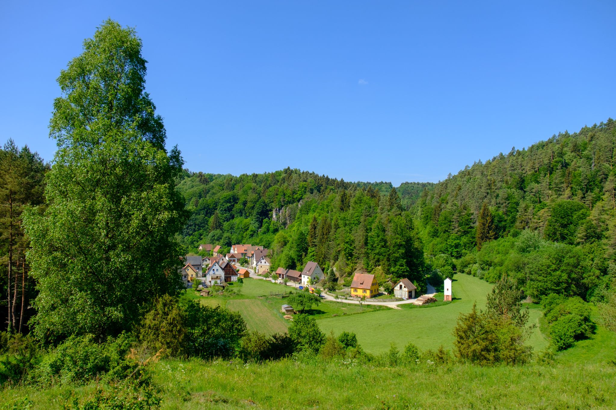
The most beautiful cycle paths through the Nuremberg Land
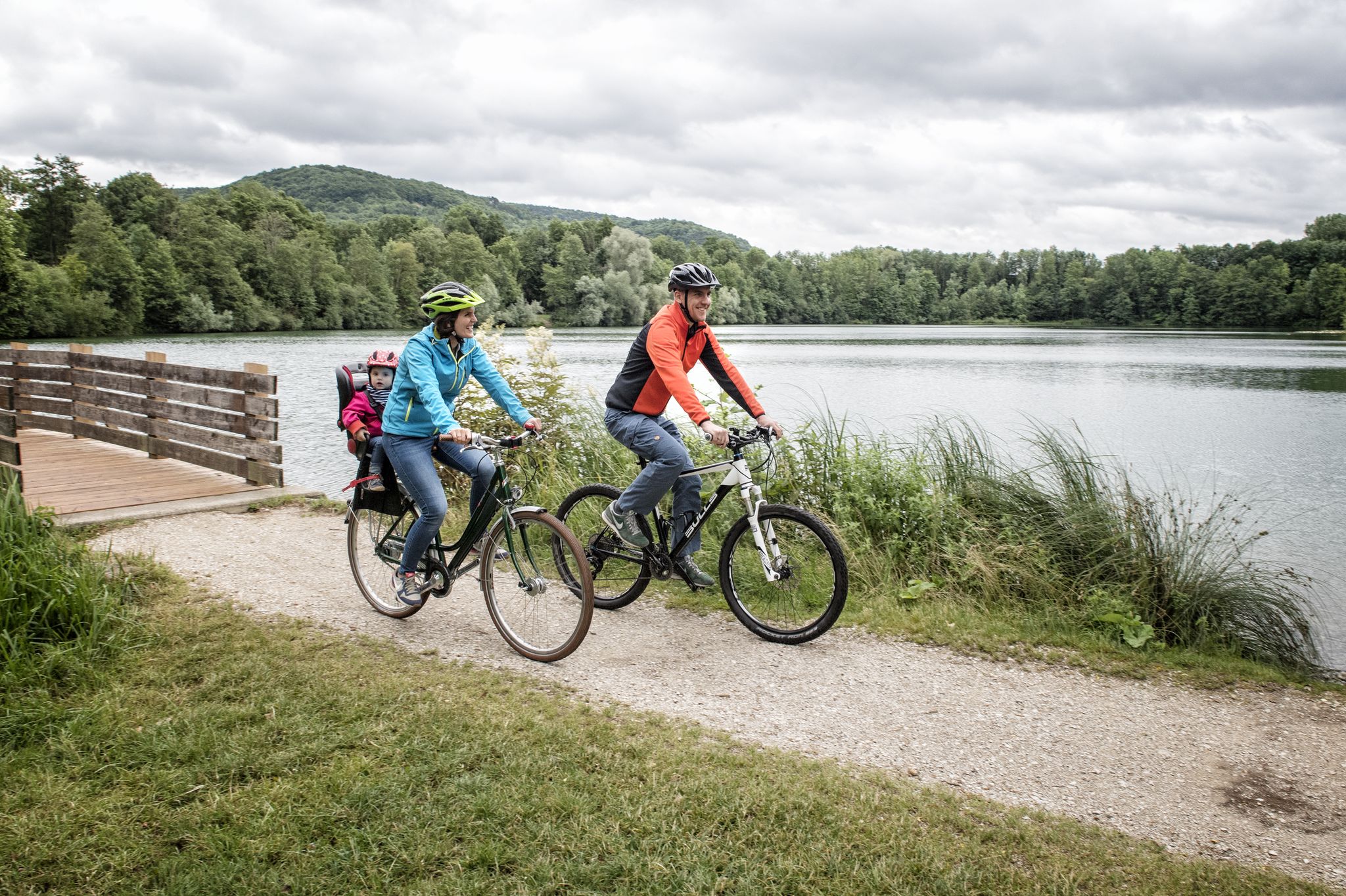
Incredible cycling in the Nuremberg region
Other adventures around Schnaittach


Tips from the Community

Strenuous climb at the end but doable.
3
0

In the meantime, there are some very deep potholes.... So be careful, especially when you are in a group. Otherwise, it remains a super nice side route.
1
0

A superbly developed cycle path for covering distance.
2
0

Unfortunately, there wasn't a wine that good here. 😁
0
1


The scenery is beautiful, and there are lots of cyclists here on the weekends.
1
0
A nice, undulating back road in a beautiful landscape, no traffic. I'm happy to put up with the rough asphalt.
0
0
Frequently Asked Questions
How many road cycling routes are available around Schnaittach?
There are over 50 road cycling routes around Schnaittach, catering to various skill levels. You'll find approximately 9 easy routes, 37 moderate routes, and 9 challenging routes, ensuring there's something for every road cyclist.
What kind of terrain and elevation can I expect on road cycling routes in Schnaittach?
Road cycling around Schnaittach offers a diverse landscape, from picturesque valleys and dense forests to rolling hills. You can expect varied terrain, including challenging ascents towards features like Rothenberg mountain and Glatzenstein, with some gradients reaching up to 22%. The region borders the Franconian Switzerland-Veldenstein Forest Nature Park, providing both scenic beauty and engaging climbs.
Are there any easy road cycling routes suitable for beginners or a more relaxed ride?
Yes, Schnaittach offers several easy road cycling routes. For a relaxed experience with scenic views, consider the Scenic Road Through Hop Fields – View of Glatzenstein loop from Schnaittach Markt. This route is approximately 16.8 miles (27.1 km) long and provides beautiful vistas of the prominent Glatzenstein rock formation.
What are some challenging road cycling routes for experienced riders in Schnaittach?
For experienced riders seeking a challenge, routes in Schnaittach often feature significant climbs and longer distances. While specific 'difficult' routes are available, many moderate routes also offer substantial elevation gain. For example, the Poxdorf–Kersbach Cycle Path – Main-Danube Canal Path loop from Schnaittach Markt is a longer ride at 65.2 miles (105.0 km) with over 500 meters of elevation gain, providing a good test of endurance.
What natural features and viewpoints can I see along the road cycling routes?
Road cycling routes in Schnaittach offer numerous natural highlights and viewpoints. You can enjoy panoramic views from Rothenberg mountain, crowned by the impressive Festung Rothenberg, or take in the vistas from Glatzenstein. The region's diverse landscape includes the Franconian Switzerland-Veldenstein Forest Nature Park, with its picturesque valleys and rolling hills, providing constant scenic beauty.
Are there any historical landmarks or attractions to explore near the cycling routes?
Absolutely! Schnaittach is rich in history. You can explore the historic market square with the 13th-century St. Kunigund parish church and charming half-timbered houses. Nearby, you'll find several castles and ruins, such as Leienfels Castle Ruins, Hohenstein Castle, and the imposing Rothenberg Fortress, many of which can be seen or visited along or near cycling paths.
What do other road cyclists enjoy most about road cycling in Schnaittach?
The road cycling routes in Schnaittach are highly rated by the komoot community, with an average score of 4.8 stars from over 40 reviews. Cyclists often praise the varied terrain, which offers a good mix of challenging climbs and scenic stretches through hop fields and picturesque valleys. The well-maintained paths and diverse landscapes are frequently highlighted as key attractions.
Are there any loop routes for road cycling in Schnaittach?
Yes, many of the road cycling routes around Schnaittach are designed as loops, allowing you to start and finish at the same point. For instance, the popular Scenic Road Through Hop Fields – Lauf–Eschenau Cycle Path loop from Hedersdorf is a moderate 21.3 miles (34.3 km) loop offering beautiful views.
When is the best time of year for road biking in Schnaittach?
The best time for road biking in Schnaittach is generally from spring through autumn. During these seasons, the weather is most favorable, and the natural landscapes, including the Franconian Switzerland-Veldenstein Forest, are at their most vibrant. Always check local weather forecasts before heading out, especially during shoulder seasons.
Where can I find information about parking facilities for road cyclists in Schnaittach?
Schnaittach, as a recognized recreation area, offers various parking options. Many routes, such as those starting from Schnaittach Markt, typically have accessible parking nearby. It's advisable to check specific route descriptions on komoot for details on starting points and recommended parking, or consult the local tourist information for broader parking guidance.
Are there any cafes or places to stop for refreshments along the road cycling routes?
While specific cafes directly on every route are not listed, Schnaittach's historic town center offers various establishments for refreshments. Additionally, the presence of huts like Moritzberg Mountain Inn and Edelweiss Hut in the broader region suggests opportunities for breaks. Planning your route with komoot allows you to identify potential stops along the way.
Can I combine road cycling with exploring other local attractions?
Absolutely! Schnaittach is ideal for combining road cycling with cultural exploration. You can cycle to the Rothenberg Fortress for stunning views, or visit the Jüdisches Museum Franken in one of Bavaria's oldest synagogues. The region also features the Radweg Industriegeschichte (Industrial History Cycle Path), which integrates local heritage into cycling experiences.
Most popular routes around Schnaittach
Most popular attractions around Schnaittach

Get inspired with the komoot mobile app


Explore more
Browse the best Road cycling routes in other regions.
