The best walks and hikes in Sierra Blanquilla
4.5
(317)
1,754
hikers
48
hikes
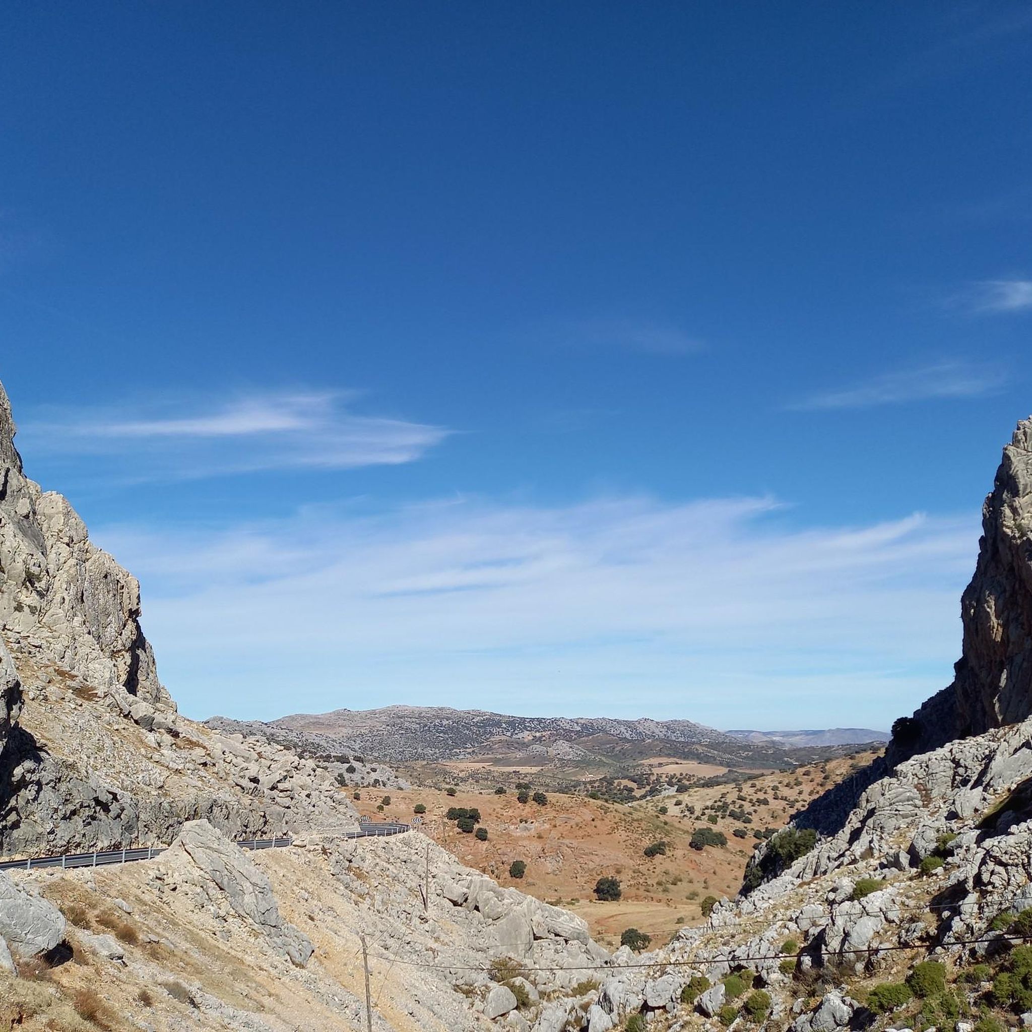
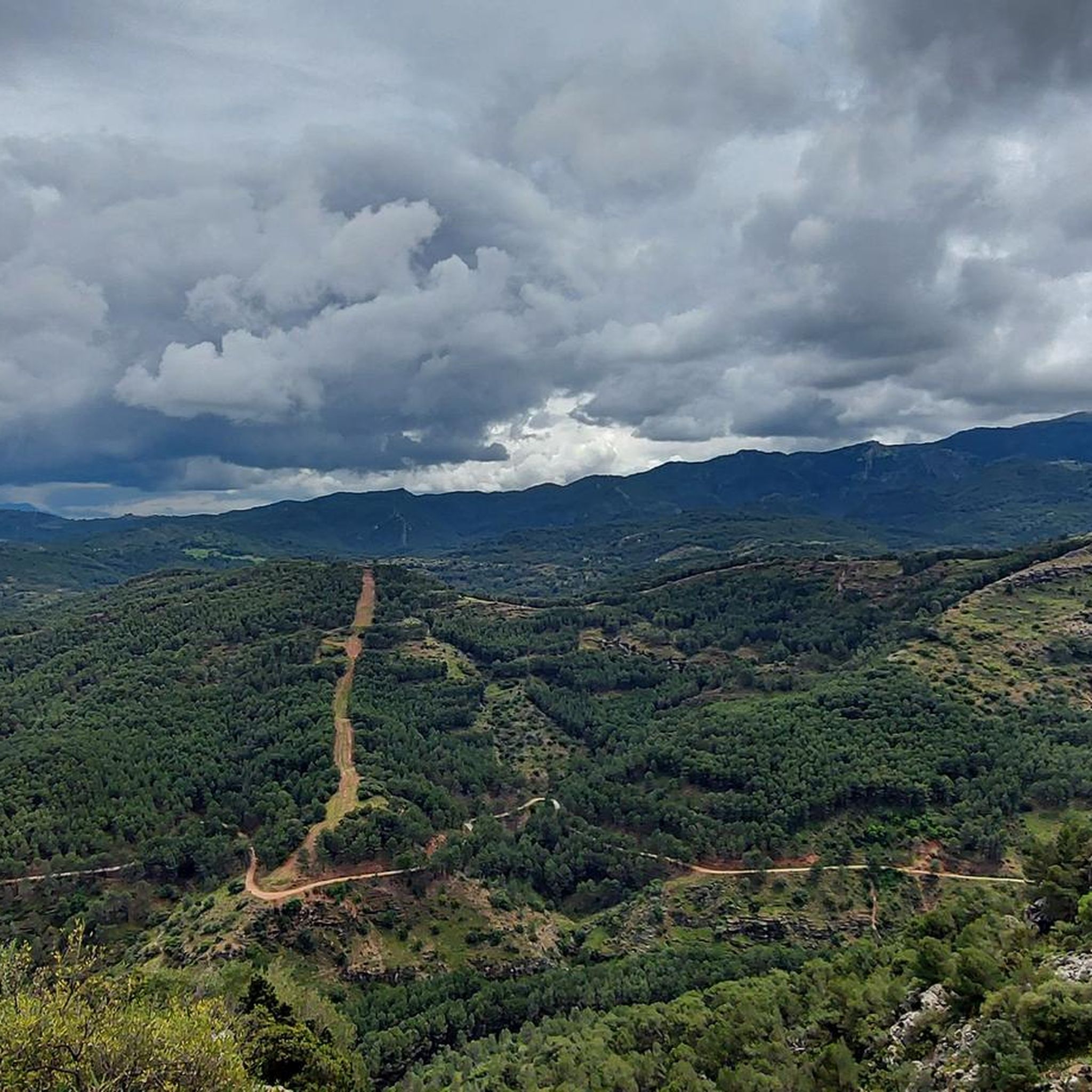
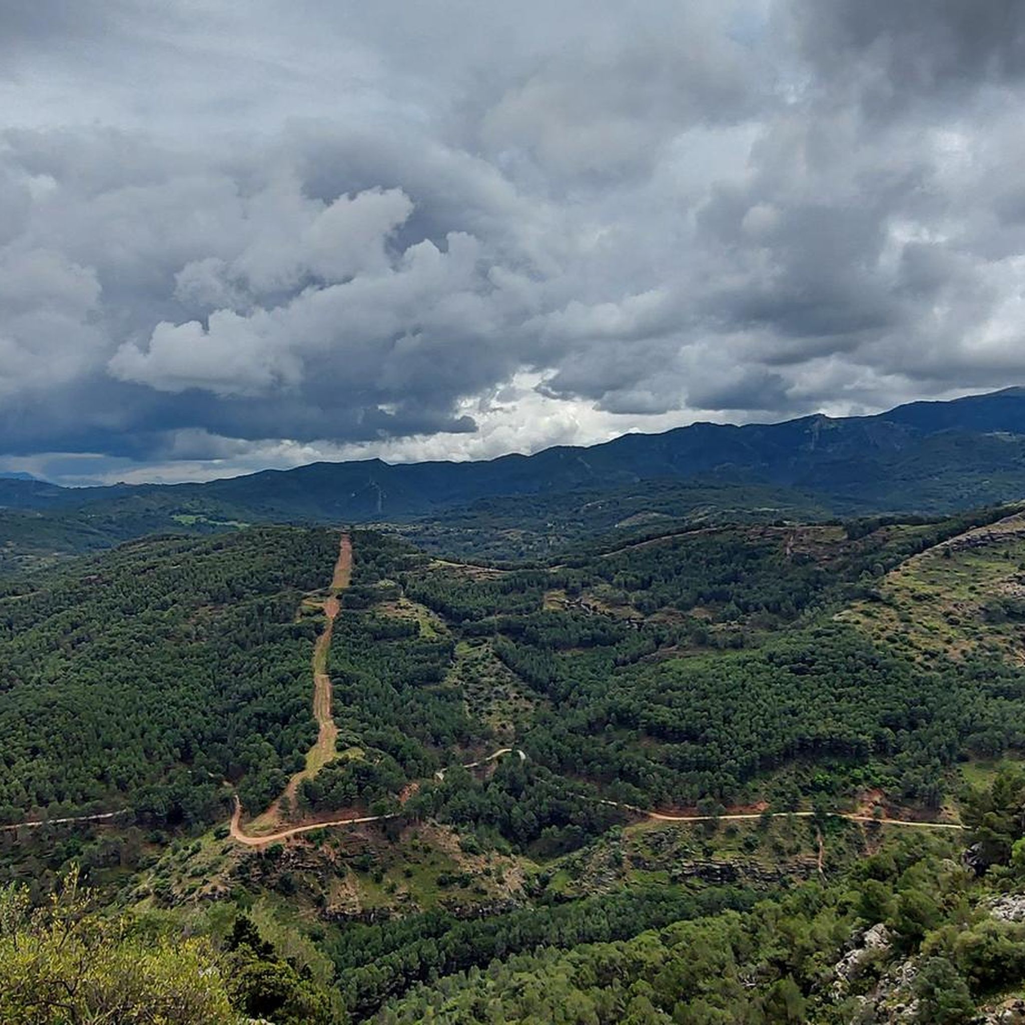
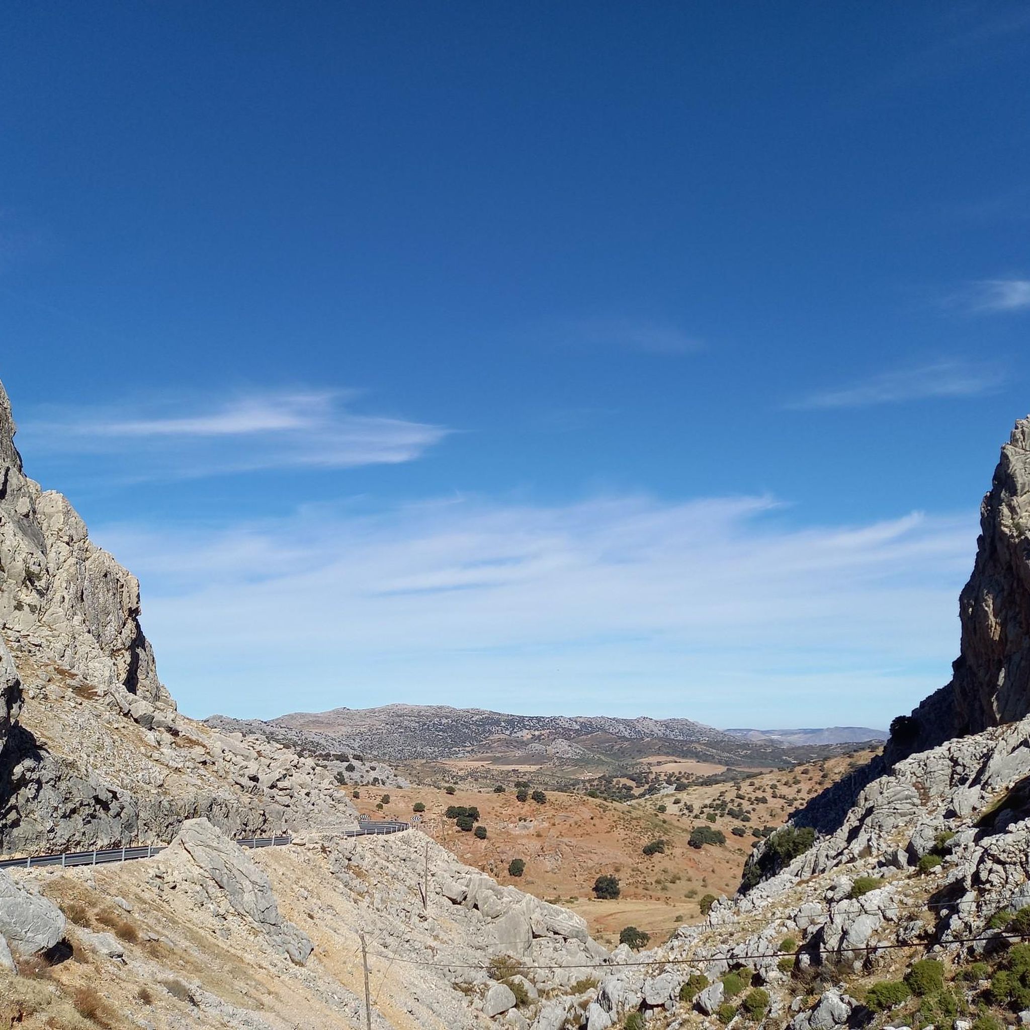
Hiking in Sierra Blanquilla offers diverse landscapes within the Serranía de Ronda, characterized by its calcareous rock formations and distinctive karst topography. The region features rugged mountainous terrain, including the Pico del Viento, and a Mediterranean ecosystem with sclerophyllous forests of holm oaks and scattered pine forests. These natural features provide varied environments for outdoor activities, from river paths to elevated viewpoints.
Best hiking trails in Sierra Blanquilla
- The most popular hiking route is Molino Caído Dam – Path Along…
Last updated: June 25, 2026
4.9
(20)
122
hikers
12.7km
03:28
190m
190m
Moderate hike. Good fitness required. Easily-accessible paths. Suitable for all skill levels.
4.5
(4)
9
hikers
6.51km
01:57
200m
200m
Easy hike. Great for any fitness level. Easily-accessible paths. Suitable for all skill levels.

Sign up for free
4.4
(14)
90
hikers
4.71km
01:14
40m
40m
Easy hike. Great for any fitness level. Easily-accessible paths. Suitable for all skill levels.
4.3
(3)
27
hikers
14.5km
04:19
440m
440m
Moderate hike. Good fitness required. Easily-accessible paths. Suitable for all skill levels.
5.0
(1)
15
hikers
17.2km
05:03
460m
460m
Hard hike. Very good fitness required. Easily-accessible paths. Suitable for all skill levels.
Get access to more routes and recommendations from other explorers.
Sign up for free
Already have an account?
Our route recommendations are based on thousands of hikes, rides, and runs completed by other people on komoot.
Start today with a free account
Your next adventure awaits.
Login or Signup
Tips from the Community

It's very beautiful there. It's tempting to swim.
1
0
Very beautiful and impressive
1
0
The stones in the water are very slippery! But you can cross the bridge about 100 meters further.
0
0

The origins of this town are Celtic, but in its streets you can see remains of its Roman and Andalusian past and as a refuge for bandits from the Costa del Sol. It has been rebuilt several times, mainly after the earthquake of 1775 that caused it to be severely affected.
8
1

Great little restaurant with home cooking. Handwritten menu and low prices.
2
0

At this point, you have a nice view of the water reservoir and the beautiful mountains. The trail there is very pretty and winds through the mountains here.
0
0
This is a nice winding path up the mountain. The trees act as a roof here. The light fall here is wonderful
0
0
Frequently Asked Questions
What is the general difficulty level of hiking trails in Sierra Blanquilla?
Sierra Blanquilla offers a diverse range of trails. Out of nearly 50 routes, you'll find options for all abilities: 7 are classified as easy, 32 as moderate, and 9 as difficult. This variety ensures that both casual walkers and experienced hikers can find suitable paths.
Are there easy hiking options suitable for beginners or families in Sierra Blanquilla?
Yes, Sierra Blanquilla has several easy trails perfect for beginners or families. For example, the El Burgo – El Burgo Village Center loop from El Burgo is an easy 4.0-mile (6.5 km) path offering a gentle walk around the village. Another accessible option is the Río Turón Dams Trail, a 2.9-mile (4.7 km) route through riverine landscapes.
What natural features or landmarks can I expect to see while hiking in Sierra Blanquilla?
Sierra Blanquilla is known for its distinctive karst topography, with unique rock formations due to its calcareous rock composition. You'll also encounter a Mediterranean ecosystem featuring sclerophyllous forests dominated by holm oaks and scattered Aleppo pine forests. The region is part of the Sierra de las Nieves biosphere reserve, offering rich flora and fauna.
Are there any scenic viewpoints in Sierra Blanquilla?
Absolutely. The Saucillo pass, at 1,200 meters, is a key attraction providing magnificent panoramic views of several Málaga mountain ranges and the coast. It also serves as a gateway to the Torrecilla peak route, offering stunning vistas of the surrounding natural beauty.
Is parking available for hikers in Sierra Blanquilla?
While specific parking areas are not detailed in the route information, the presence of various trailheads, particularly around towns like El Burgo, suggests that parking facilities are generally available near popular starting points for hikes. It's advisable to check local signage upon arrival.
Do I need any permits to hike in Sierra Blanquilla?
Sierra Blanquilla is a designated Special Conservation Zone and part of the Sierra de las Nieves biosphere reserve. While most general hiking trails do not require specific permits, it's always recommended to check with local authorities or park information centers for any specific regulations, especially if planning to venture off marked paths or into more sensitive areas.
What is the best time of year to go hiking in Sierra Blanquilla?
The region experiences a Mediterranean climate with dry, warm summers and colder, less rainy winters. Spring and autumn are generally the most pleasant seasons for hiking, offering milder temperatures and vibrant landscapes. Summers can be very hot, making early morning or late afternoon hikes preferable, while winters might bring frosts at higher elevations.
Are there any circular hiking routes in Sierra Blanquilla?
Yes, many routes in Sierra Blanquilla are designed as loops, allowing you to start and end in the same location. Examples include the popular Molino Caído Dam – Path Along the Turón River loop from El Burgo and the easier El Burgo – El Burgo Village Center loop from El Burgo.
What kind of wildlife might I encounter while hiking in Sierra Blanquilla?
The open areas of Sierra Blanquilla provide habitat for various herpetofauna, including species like the horseshoe whip snake, ocellated lizard, and reddish-nosed lizard. The Sierra is also a significant migratory route for many bird species, as it lies on the migratory path of the Strait of Gibraltar, making it an interesting spot for birdwatching.
What do other hikers enjoy the most about hiking in Sierra Blanquilla?
The area is highly rated by the komoot community, with an average score of 4.5 stars from over 270 reviews. Reviewers often praise the diverse landscapes, from river paths to elevated viewpoints, and the variety of trails suitable for different ability levels. The natural beauty and well-maintained paths are frequently highlighted.
Are there any longer or more challenging hikes for experienced hikers?
Yes, for those seeking a greater challenge, Sierra Blanquilla offers more demanding routes. An example is the El Burgo – Molino Caído Dam loop from El Burgo, a difficult 17.2 km (10.7 mi) trail with significant elevation gain, requiring good fitness and sure-footedness.
Can I combine hiking with cultural exploration in Sierra Blanquilla?
Absolutely. The nearby town of El Burgo, with its rich Celtic, Roman, and Andalusian origins, adds a cultural dimension to your visit. After a hike, you can explore the town's history and architecture, which has been rebuilt multiple times throughout history.

Get inspired with the komoot mobile app


Explore more
Browse the best Hikes in other regions.
