The best MTB trails around Río Guadalquivir -Tramo Medio
4.5
(607)
6,880
riders
289
rides
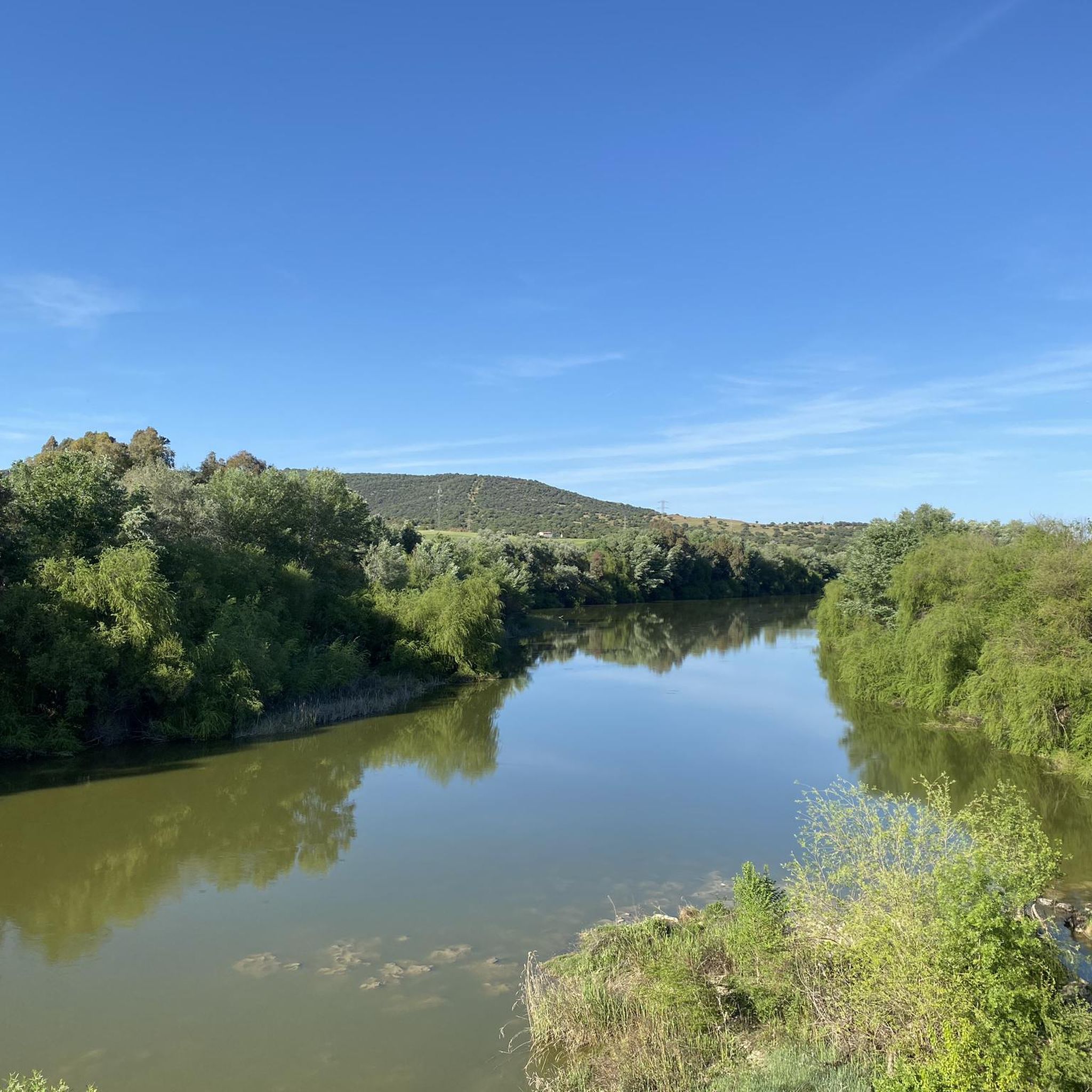
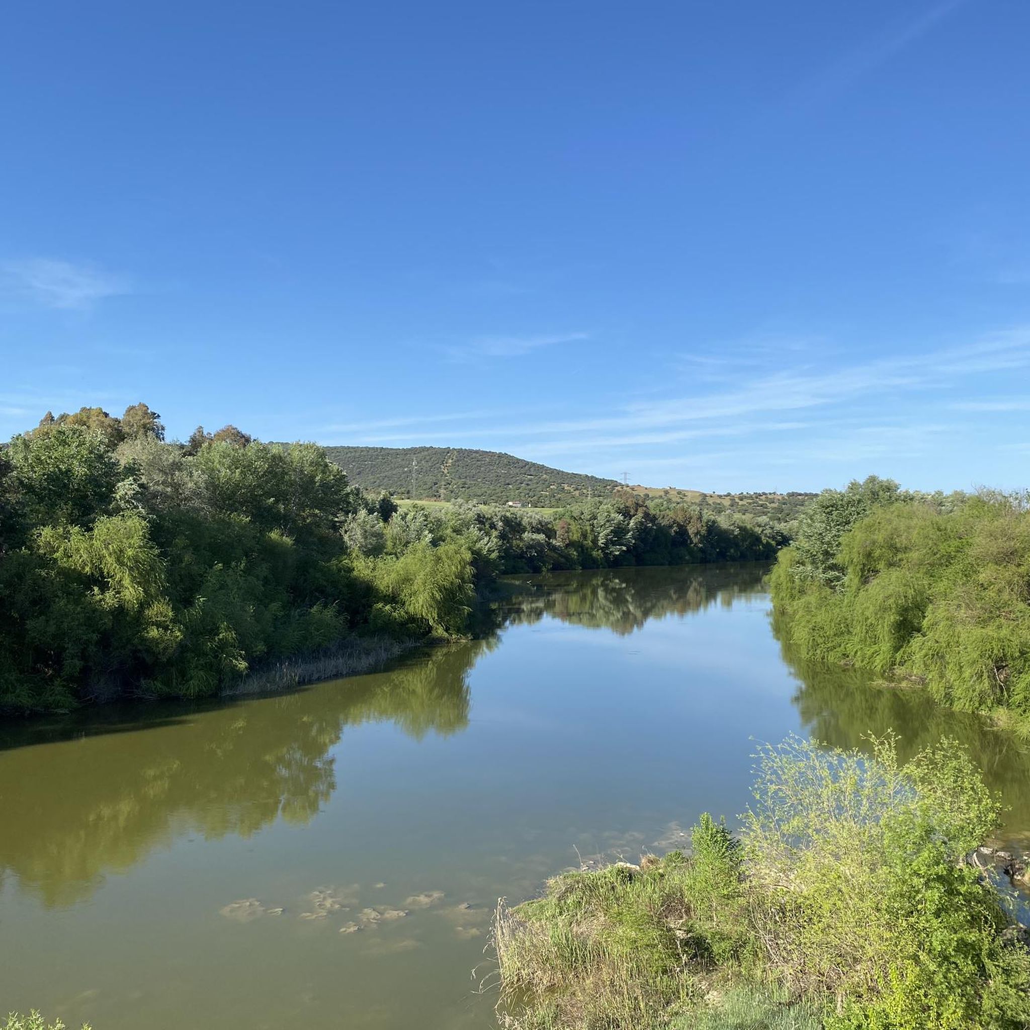
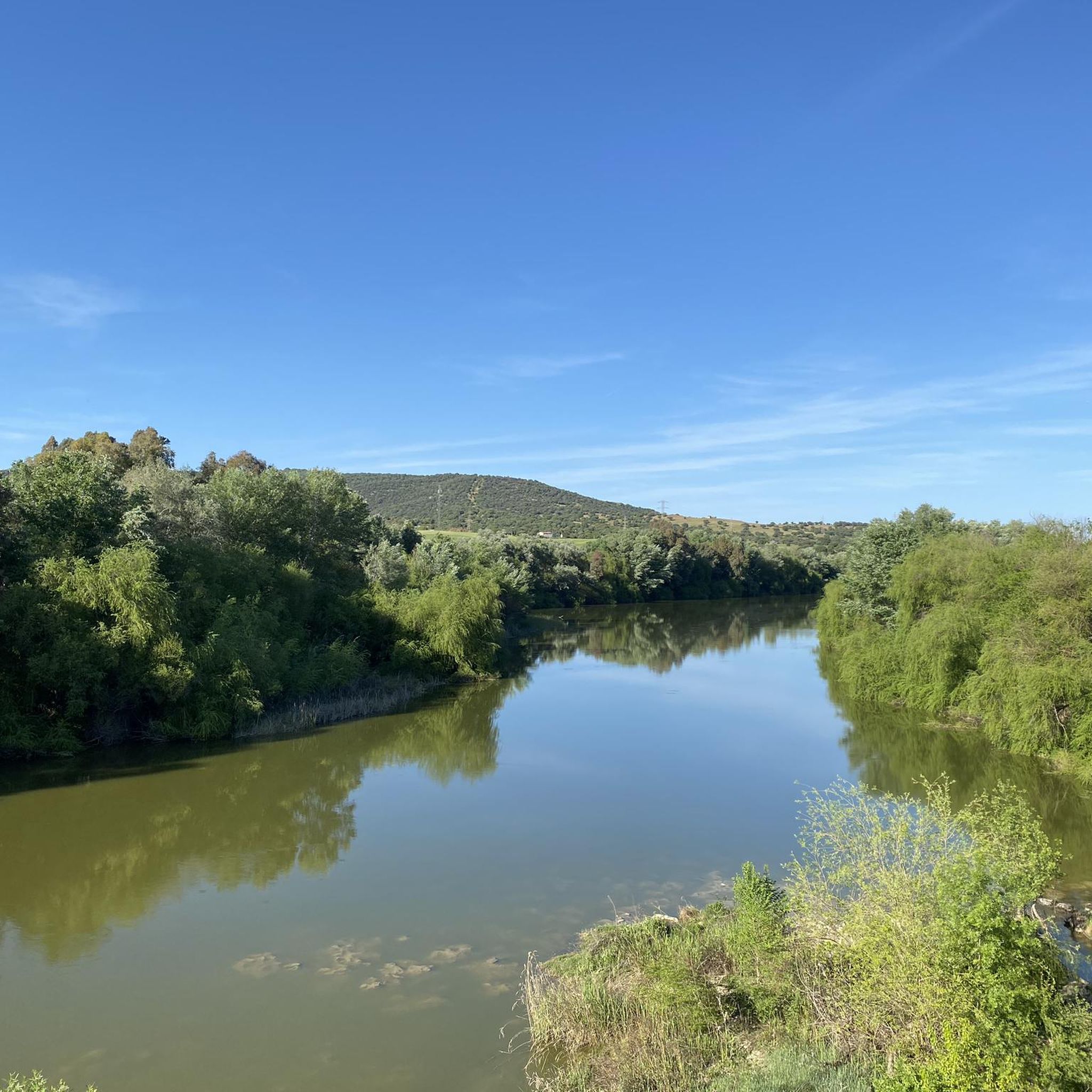
Mountain biking around Río Guadalquivir -Tramo Medio offers diverse terrain, characterized by unique river meanders and extensive riparian habitats along the Guadalquivir River. The landscape transitions into rolling hills, often covered in olive groves, influenced by the foothills of the Sierra Morena. This region, recognized as a Special Area of Conservation, provides varied routes suitable for mountain biking.
Best mountain bike trails around Río Guadalquivir -Tramo Medio
- The most popular mountain bike trail is Almodóvar del Río, Pantano la Breña,…
Last updated: July 11, 2026
4
riders
52.4km
04:37
940m
940m
Hard mountain bike ride. Very good fitness required. Suitable for all skill levels.
41.2km
02:58
530m
530m
Moderate mountain bike ride. Good fitness required. Advanced riding skills necessary.

Sign up for free
5.0
(4)
173
riders
39.4km
03:50
1,060m
1,060m
Hard mountain bike ride. Very good fitness required. Advanced riding skills necessary.
5.0
(3)
100
riders
Hard mountain bike ride. Very good fitness required. Suitable for all skill levels.
5.0
(2)
66
riders
104km
08:38
1,770m
1,770m
Hard mountain bike ride. Very good fitness required. Suitable for all skill levels.
13
riders
52.6km
04:21
720m
720m
Hard mountain bike ride. Good fitness required. Advanced riding skills necessary. Some portions of the route may require you to push your bike.
4.9
(8)
30
riders
70.1km
04:56
370m
370m
Moderate mountain bike ride. Good fitness required. Suitable for all skill levels.
5.0
(5)
26
riders
42.3km
03:55
1,030m
1,030m
Hard mountain bike ride. Very good fitness required. Advanced riding skills necessary.
5.0
(5)
13
riders
45.9km
03:30
380m
380m
Moderate mountain bike ride. Good fitness required. Suitable for all skill levels.
12
riders
73.2km
06:48
1,260m
1,260m
Hard mountain bike ride. Very good fitness required. Suitable for all skill levels.
Get access to more routes and recommendations from other explorers.
Sign up for free
Already have an account?
Our route recommendations are based on thousands of hikes, rides, and runs completed by other people on komoot.
Start today with a free account
Your next adventure awaits.
Login or Signup
Popular around Río Guadalquivir -Tramo Medio

Other adventures around Río Guadalquivir -Tramo Medio

Tips from the Community


Connection with the Campiñuela and the route that leads to Rabanales and the Alcaidia path
0
0

One of the most legendary climbs in the Sierra de Córdoba, well-known for both hiking and mountain biking. It's a tough, consistent climb, very popular with local cyclists and races like the Andalucía Bike Race and the Guzmán el Bueno (the latter often runs it in the opposite direction). The Cuesta del Reventón ascends towards the Ermitas de Córdoba, a classic panoramic viewpoint. It's a wide, rocky path with a steep incline, frequently used by cyclists and hikers. Approximate length: between 2.7 km (classic route) and 4.7 km depending on the mountain bike variant. Elevation gain: between 155 m and 486 m, depending on the route.
3
0

It is a river that originates in the south of the province of Ciudad Real and is formed by the confluence of the Montoro and Ojailén rivers. It creates two reservoirs before flowing past the Sanctuary of the Virgin of the Head. The first reservoir is called "La Lancha" and the second, "Encinarejo," is used for swimming during the summer months. It flows into the Guadalquivir River very near the town of Marmolejo.
13
0
The first stop on the old road to the Sanctuary of the Virgin of the Head is where pilgrims rest and have a light lunch before continuing their journey. Here you'll find several watering troughs so the horses can quench their thirst during the approximately 20-kilometer trek from the city of Andújar. A small chapel has also been built where pilgrims can pray to the Virgin.
6
0


In Lopera, we find one of the best examples of castles built by the Military Order of Calatrava in the province of Jaén. Declared a Cultural Monument in 1991, this fortress retains its original walled enclosure, although over the years it has also served as a residence and, in the mid-20th century, even as a winery.
0
0
The Sanctuary of the Virgin of the Head is located in the Sierra de Andújar Natural Park. This sanctuary is one of the oldest in Spain, with a history dating back to the 13th century. It is known for its impressive Gothic architecture and religious significance, making it a very popular pilgrimage site. Every year, on the last weekend of April, a pilgrimage is held in honor of the Virgin of the Head, attracting thousands of pilgrims from all over Spain. During this festival, devotees climb the Cabezo hill, where the sanctuary is located, to pay homage to the Virgin.
2
0
Frequently Asked Questions
How many mountain bike trails are available in Río Guadalquivir - Tramo Medio, and what are their difficulty levels?
There are over 280 mountain bike trails in Río Guadalquivir - Tramo Medio. These routes cater to various skill levels, with approximately 44 easy trails, 175 moderate trails, and 70 difficult trails, ensuring options for every rider.
Are there mountain bike trails suitable for families or beginners in Río Guadalquivir - Tramo Medio?
Yes, the region offers several easy mountain bike trails perfect for families or beginners. One such option is the Vía Verde Near El Reventón loop from La Golondrina, which is 30.9 km long and features a relatively low elevation gain, making it a pleasant ride for those new to mountain biking or looking for a relaxed outing.
What kind of terrain can I expect on mountain bike trails in Río Guadalquivir - Tramo Medio?
The terrain in Río Guadalquivir - Tramo Medio is quite diverse. You'll encounter unique river meanders and extensive riparian habitats along the Guadalquivir River, transitioning into rolling hills often covered in olive groves. The influence of the Sierra Morena foothills also adds more rugged sections, providing a varied and engaging riding experience.
Are there any circular mountain bike routes in the region?
Yes, many of the mountain bike routes in Río Guadalquivir - Tramo Medio are circular, allowing you to start and end in the same location. Popular circular routes include Almodóvar del Río, Pantano la Breña, ''La V'' – ruta circular and Villa del Río, Montoro, Lopera – ruta circular, offering convenient exploration of the area.
What are some notable viewpoints or scenic spots along the mountain bike trails?
The region offers several picturesque viewpoints. You can enjoy beautiful vistas of the Guadalquivir River and the Retamar neighborhood from the Mirador del Imperio Romano in Montoro. Additionally, the View of Castillo de Almodóvar del Río from CO-3313 provides a stunning perspective of the historic castle. Many routes also traverse olive groves and riverine ecosystems, offering scenic natural beauty.
What historical or cultural landmarks can I see while mountain biking in Río Guadalquivir - Tramo Medio?
The region is rich in history. You can encounter the historic Puente de Alcolea, the Villafranca Iron Bridge with its visible Civil War damages, and even a Roman pier on the Guadalquivir, indicating the river's ancient navigability. The Torre de Guadacabrillas is another interesting historical structure to look out for.
Is it possible to bring dogs on the mountain bike trails?
While specific regulations for each trail may vary, many natural areas in Río Guadalquivir - Tramo Medio are generally dog-friendly, especially if your dog is well-behaved and kept on a leash. It's always recommended to check local signage or specific trail guidelines before heading out with your canine companion.
What is the best time of year to go mountain biking in Río Guadalquivir - Tramo Medio?
The best time for mountain biking in Río Guadalquivir - Tramo Medio is typically during the spring (March to May) and autumn (September to November). During these seasons, the weather is milder and more pleasant for outdoor activities, avoiding the intense heat of summer and the cooler, potentially wetter conditions of winter.
Are there any permits required for mountain biking in Río Guadalquivir - Tramo Medio?
Río Guadalquivir - Tramo Medio is recognized as a Special Area of Conservation (ZEC). Generally, no specific permits are required for mountain biking on established trails. However, it's always advisable to respect local regulations, stay on marked paths, and be mindful of the protected natural environment.
What do other mountain bikers enjoy most about the trails in Río Guadalquivir - Tramo Medio?
The trails in Río Guadalquivir - Tramo Medio are highly rated by the komoot community, with an average score of 4.5 stars from over 500 reviews. Riders frequently praise the diverse landscapes, from riverside paths to challenging hill climbs through olive groves, and the well-preserved natural environment. The variety of routes catering to different skill levels is also a common highlight.
Are there any long-distance or challenging mountain bike routes for experienced riders?
Yes, experienced riders will find several challenging routes. For instance, the San Ginés Hermitage – Avenida de Lisboa loop from Villa del Rio is a difficult 106.2 km route with significant elevation gain, offering a substantial challenge. Another demanding option is the Fountain of the Two Spouts – Sierra Morena Viewpoint loop from Villafranca de Córdoba, covering 42.3 km with over 1000 meters of ascent.
Where can I find parking for mountain biking trailheads?
Parking is generally available near the starting points of many popular routes, especially in and around towns like Almodóvar del Río, Villa del Río, and Villafranca de Córdoba. For example, routes like the Vereda de la Alcaidía – Camino de la Campiñuela loop from Alcolea de Córdoba typically have accessible parking in the nearby urban areas or designated trailheads.
Most popular routes around Río Guadalquivir -Tramo Medio
Most popular attractions around Río Guadalquivir -Tramo Medio

Get inspired with the komoot mobile app


Explore more
Browse the best MTB trails in other regions.
