The best road cycling routes around Río Antas
4.4
(95)
11,232
riders
113
rides
Road cycling routes around Río Antas traverse a diverse landscape in the province of Almería, Spain, offering varied terrain for cyclists. The region is characterized by the Sierra de los Filabres mountain range, the fertile Bajo Almazora valley, and the Mediterranean coastline. Cyclists can find routes ranging from coastal paths to challenging climbs with significant elevation gains. The area provides a mix of paved surfaces, suitable for different fitness levels.
Best road cycling routes around Río Antas
- The most popular…
Last updated: July 5, 2026
5.0
(1)
436
riders
111km
05:33
1,660m
1,660m
Hard road ride. Very good fitness required. Mostly well-paved surfaces and easy to ride.
357
riders
136km
06:26
1,790m
1,790m
Hard road ride. Very good fitness required. Mostly well-paved surfaces and easy to ride.

Sign up for free
151
riders
34.4km
01:33
180m
180m
Moderate road ride. Great for any fitness level. Some segments of this route may be unpaved and difficult to ride.
136
riders
103km
04:54
1,360m
1,360m
Hard road ride. Very good fitness required. Mostly well-paved surfaces and easy to ride.
91
riders
38.3km
01:39
210m
210m
Moderate road ride. Great for any fitness level. Some segments of this route may be unpaved and difficult to ride.
68
riders
129km
05:42
1,090m
1,090m
Hard road ride. Very good fitness required. Mostly well-paved surfaces and easy to ride.
5.0
(1)
144
riders
126km
05:54
1,530m
1,530m
Hard road ride. Very good fitness required. Mostly well-paved surfaces and easy to ride.
5.0
(1)
33
riders
54.4km
03:00
830m
830m
Moderate road ride. Good fitness required. Some segments of this route may be unpaved and difficult to ride.
5.0
(1)
35
riders
92.4km
04:34
1,170m
1,170m
Hard road ride. Very good fitness required. Mostly well-paved surfaces and easy to ride.
11
riders
Moderate road ride. Great for any fitness level. Some segments of this route may be unpaved and difficult to ride.
Get access to more routes and recommendations from other explorers.
Sign up for free
Already have an account?
Our route recommendations are based on thousands of hikes, rides, and runs completed by other people on komoot.
Start today with a free account
Your next adventure awaits.
Login or Signup

Tips from the Community

These curves wind along the slope of the rambla de la Ballabona, creating a spectacular landscape, especially for cyclists who travel here.
0
0

The shops in particular are very popular.
0
0
The beautiful white Moorish village of Mojácar is perched on a cliff, 2 km from the sea, and from afar, you have a magnificent view of this typical Andalusian village. The village is part of the Mojácar to San Juan de los Terreros coast. From Mojácar, you have stunning views of the sea and the Tabernas desert.
9
0

Great views from the Granatilla Pass
0
0

Interesting picture of the street, barely visible...
0
0

Spectacular views. But the best part was the descent on a well-paved road with some really fun curves.
0
0

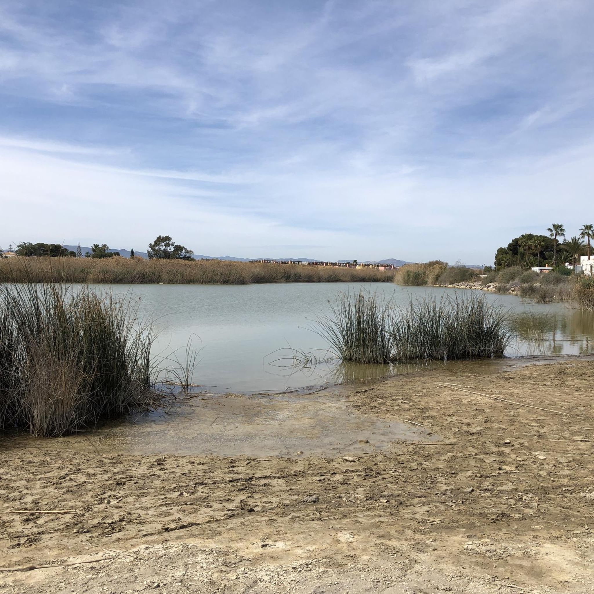
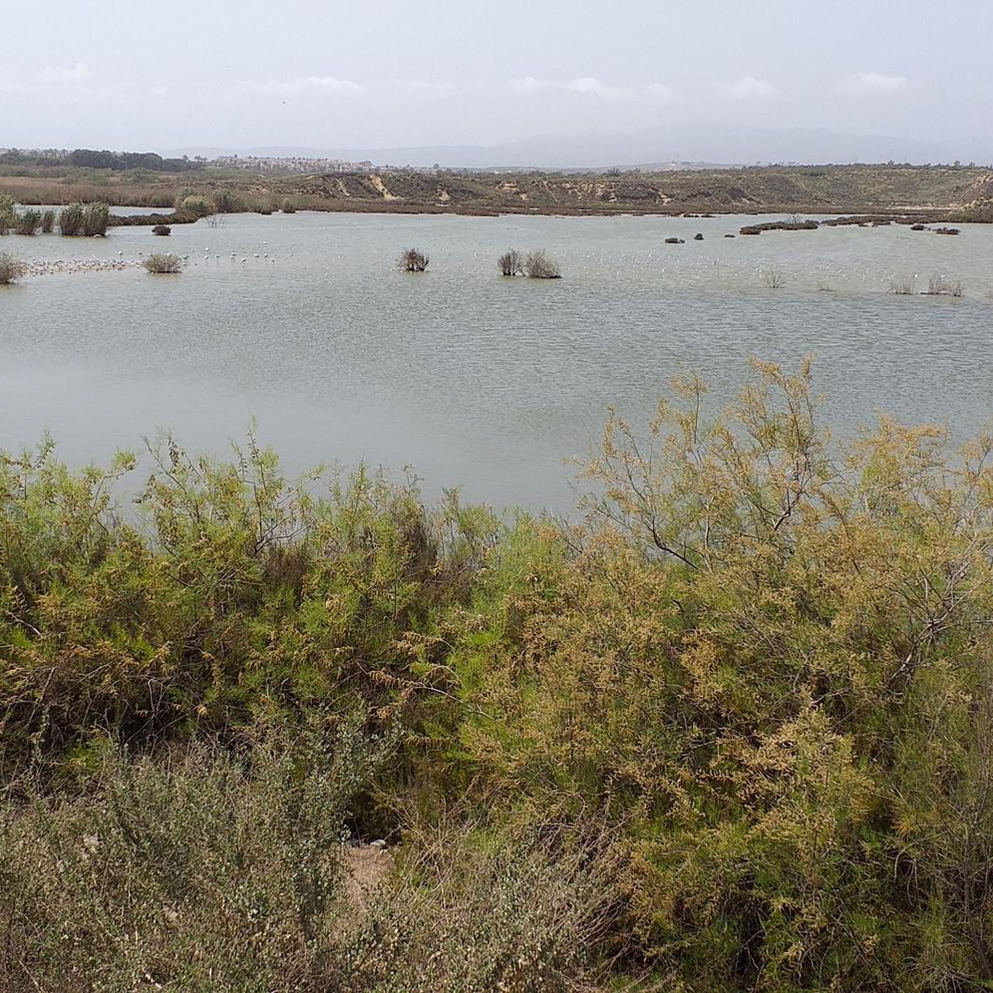
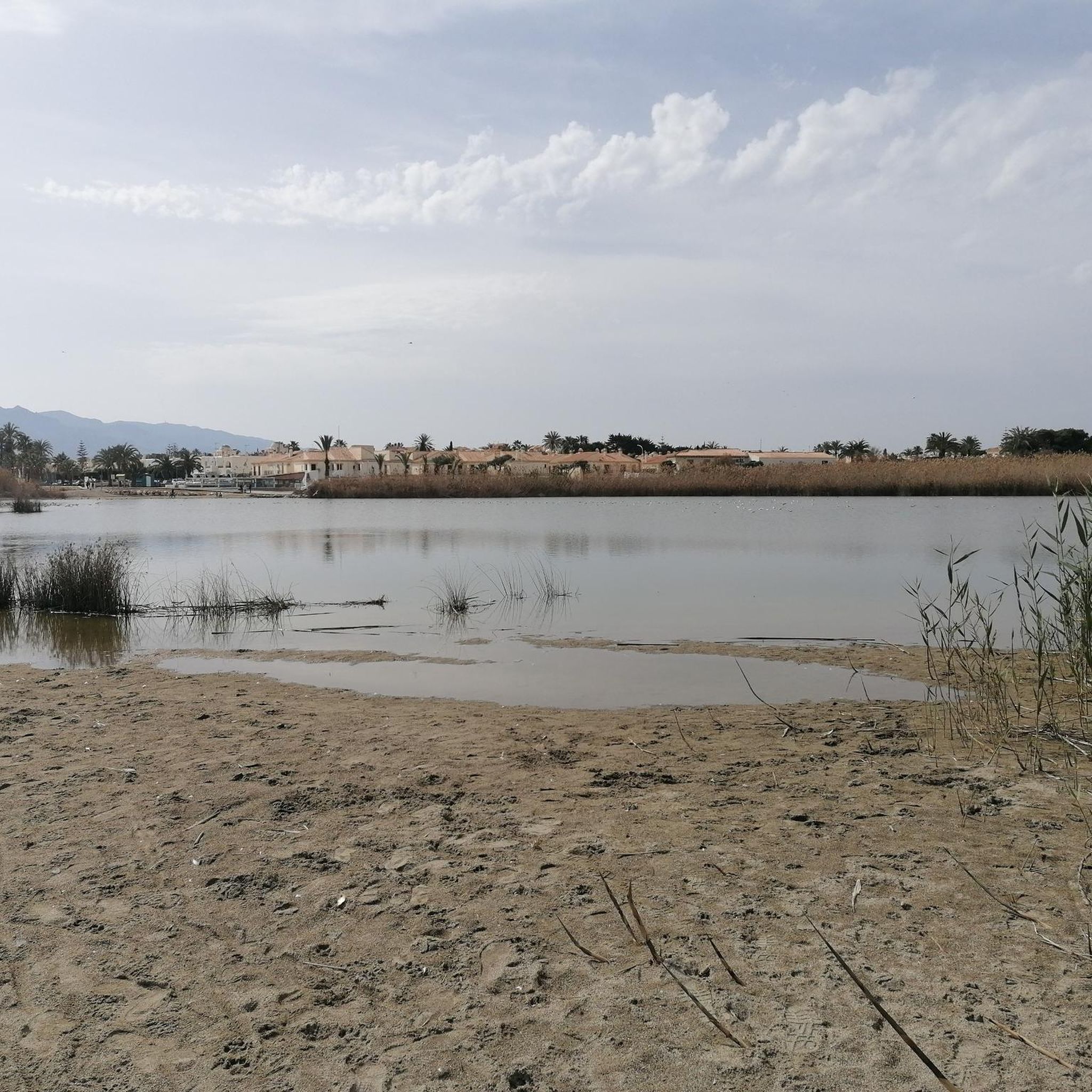
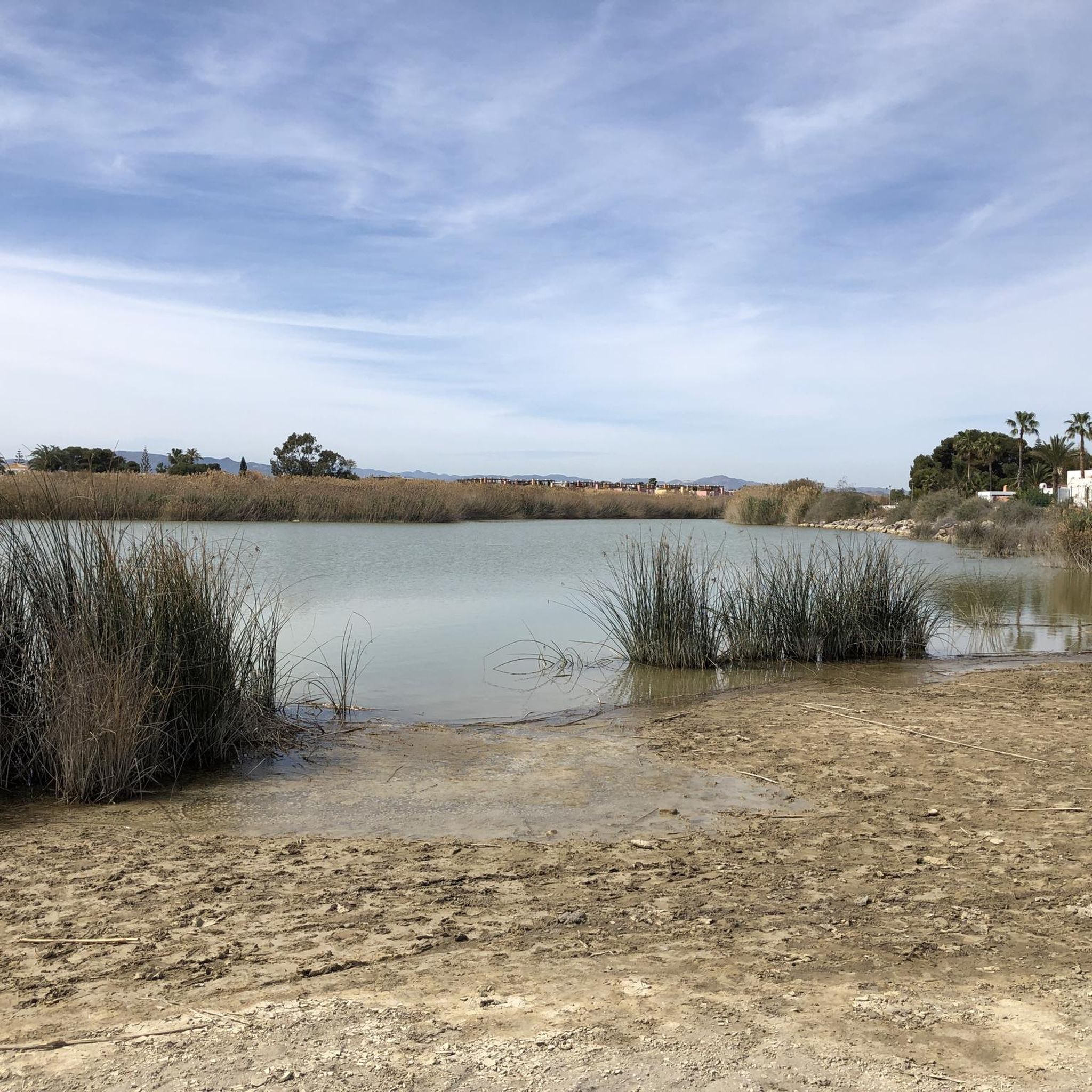
nice gift with a place to walk and countless birds from various points.
1
0

An ideal place to enjoy views of the Mediterranean Sea lapping against the cliffs, the coast of the Cabo de Gata–Níjar Natural Park, and closer to home, the Rambla bridge.
1
0
Frequently Asked Questions
How many road cycling routes are available around Río Antas?
There are over 90 road cycling routes available around Río Antas, catering to various skill levels. You'll find a good mix of easy, moderate, and challenging rides to explore the diverse landscapes of the Almería province.
What kind of terrain can I expect on road cycling routes near Río Antas?
The terrain around Río Antas is incredibly varied. You can expect routes that traverse the dramatic hills and valleys of the Sierra de los Filabres, offering significant elevation gains and challenging climbs. Other routes follow the fertile Bajo Almazora valley, and many also feature scenic sections along the Mediterranean coastline near Vera. Surfaces are generally paved and well-maintained.
Are there challenging road cycling routes for experienced cyclists?
Yes, the Río Antas area offers numerous challenging routes for experienced road cyclists. Many routes feature substantial elevation gains, particularly those heading into the Sierra de los Filabres. For example, the difficult route Mojácar – Fuente Mora of Mojácar loop from Garrucha covers over 140 km with more than 2,200 meters of ascent. You can also find routes that take you towards epic climbs like Calar Alto or Alto de Velefique in the broader Almería region.
Can I find easier or moderate road cycling routes around Río Antas?
Absolutely. While the region is known for its challenging climbs, there are also plenty of easier and moderate options. For a more relaxed ride, consider routes closer to the coast or within the valleys. An easy option is the Port of Garrucha loop from Las Marinas, which is just over 34 km with minimal elevation gain. There are over 20 easy and 30 moderate routes available.
What are some notable landmarks or viewpoints along the road cycling routes?
The routes offer access to stunning natural features and charming villages. You'll encounter dramatic mountain landscapes in the Sierra de los Filabres, picturesque whitewashed Andalusian villages, and coastal views where the Río Antas meets the Mediterranean. The La Granatilla Viewpoint – Mojácar loop from Las Marinas, for instance, includes scenic viewpoints and coastal sections.
What is the best time of year for road cycling in Río Antas?
The Almería province, including the Río Antas area, is ideal for year-round cycling due to its excellent conditions and over 300 days of sunshine annually. However, autumn, winter, and spring are particularly recommended when temperatures are mild and pleasant. Summers can be very hot, especially inland, so early morning rides are advisable during those months.
Are there any circular road cycling routes in the area?
Yes, many of the road cycling routes around Río Antas are designed as loops, allowing you to start and finish at the same point. Examples include the Lucainena de las Torres – Agua Amarga Beach loop from Garrucha and the Mojácar – Lubrín Village and Castle loop from Puerto del Rey, offering convenient options for exploration.
What do other road cyclists enjoy most about cycling in Río Antas?
The road cycling routes around Río Antas are highly rated by the komoot community, with an average score of 4.4 stars from over 70 reviews. Cyclists frequently praise the diverse terrain, ranging from challenging mountain ascents to scenic coastal rides, and the generally good quality, often traffic-free roads. The region's beautiful natural landscapes and favorable climate are also often highlighted.
Are there options for family-friendly road cycling near Río Antas?
While many routes involve significant distances and elevation, some shorter, flatter sections, particularly along the coast or within the valleys, could be suitable for families with older children or those comfortable with road cycling. For example, the Roadbike loop from Urbanización El Faro is an easy 25 km ride with minimal climbing, which could be a good starting point.
Where can I find parking for road cycling routes in Río Antas?
Many routes start from towns and coastal areas like Garrucha, Las Marinas, or Puerto del Rey, where public parking is generally available. It's advisable to check specific starting points for parking facilities, especially in smaller villages or during peak seasons.
Are there cafes or places to stop for refreshments along the routes?
Yes, the region is dotted with charming villages and coastal towns where you can find cafes, restaurants, and shops to refuel. Many routes pass through or near these settlements, offering opportunities for a break. Planning your route with komoot allows you to see points of interest and potential stops along the way.
What makes the Río Antas region unique for road cycling?
The Río Antas region stands out for its dramatic contrasts. Cyclists can experience everything from challenging climbs in the Sierra de los Filabres, often compared to iconic European ascents, to serene rides through the fertile Bajo Almazora valley, and picturesque coastal routes. This diversity, combined with over 300 days of sunshine, makes it an exceptional destination for road cycling.
Most popular routes around Río Antas

Get inspired with the komoot mobile app


Explore more
Browse the best Road cycling routes in other regions.
