The best MTB trails in Sierras De Alcaparain Y Aguas
4.6
(77)
892
riders
64
rides
Mountain bike trails in Sierras De Alcaparain Y Aguas traverse a landscape characterized by its mountainous terrain, featuring significant elevation changes and natural water bodies. The region includes areas around the Centro-Sur O Guadalorce, offering a mix of challenging climbs and descents. Riders can expect to encounter varied surfaces typical of a natural park environment.
Best mountain bike trails in Sierras De Alcaparain Y Aguas
- The most popular mountain bike trail is North Face of Sierra Cabrilla loop from Puerto…
Last updated: October 22, 2026
5.0
(1)
2
riders
20.9km
02:12
510m
510m
Moderate mountain bike ride. Good fitness required. Suitable for all skill levels.
3.8
(8)
58
riders
48.3km
04:31
1,320m
1,320m
Hard mountain bike ride. Very good fitness required. Suitable for all skill levels.

5.0
(3)
18
riders
54.1km
03:57
1,050m
1,050m
Hard mountain bike ride. Very good fitness required. Suitable for all skill levels.
3.0
(3)
9
riders
Moderate mountain bike ride. Good fitness required. Suitable for all skill levels.
5.0
(1)
10
riders
34.3km
03:39
950m
950m
Hard mountain bike ride. Very good fitness required. Suitable for all skill levels.
Get access to more routes and recommendations from other explorers.
Already have an account?
Our route recommendations are based on thousands of hikes, rides, and runs completed by other people on komoot.
Start today with a free account
Your next adventure awaits.
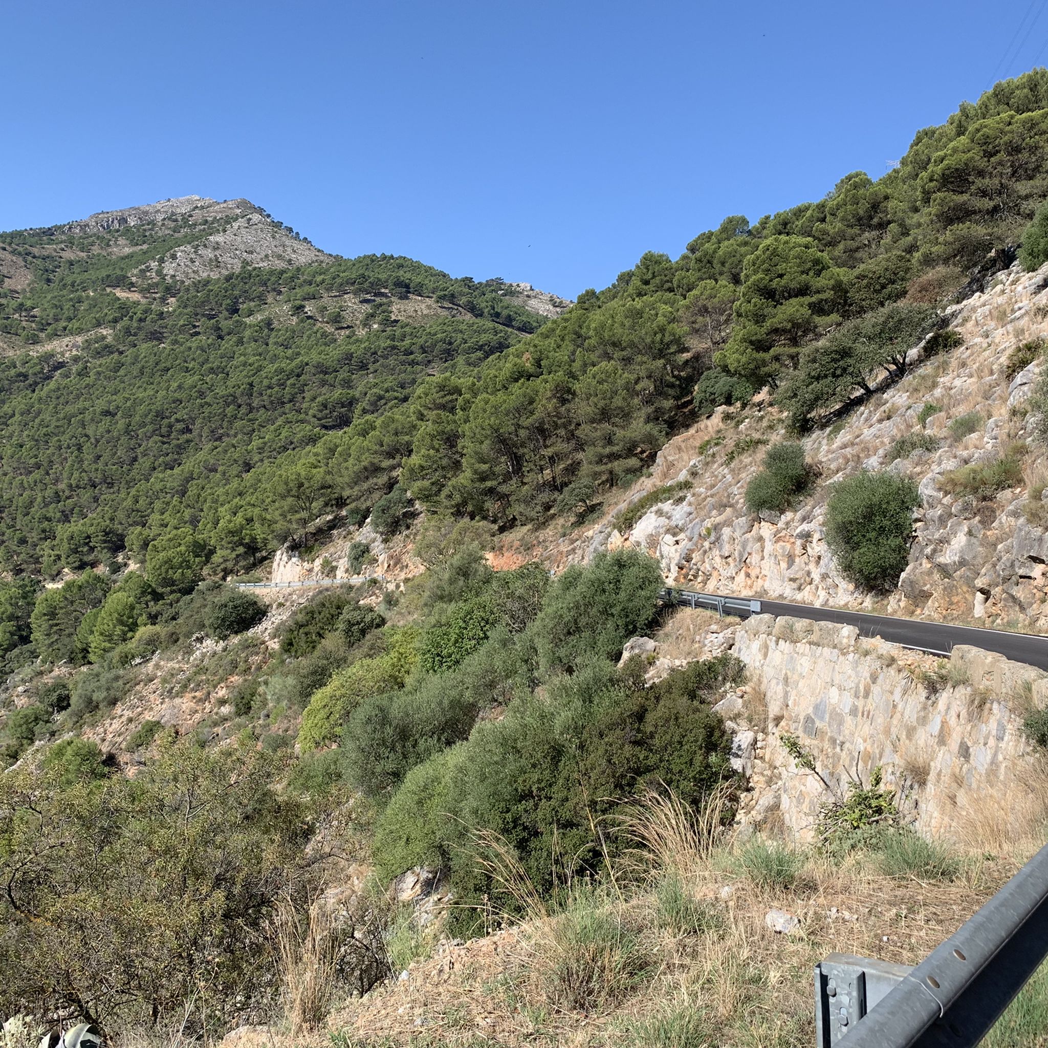
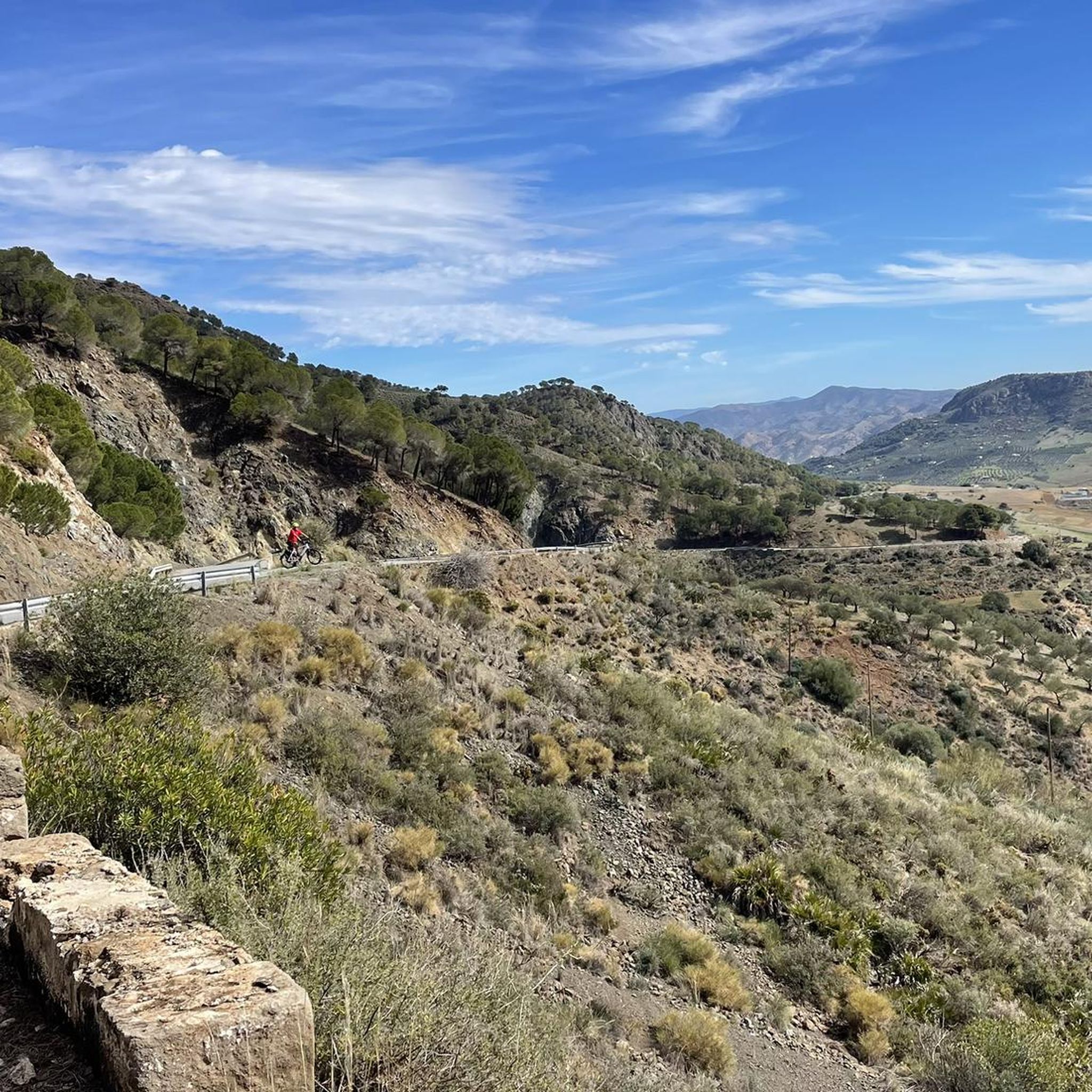
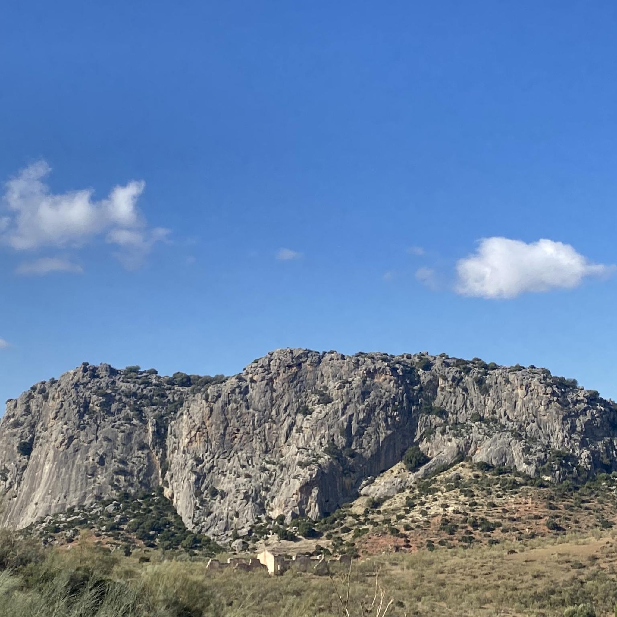
Tips from the Community

Well-lit tunnel as a shortcut to the start of the Caminito del Rey. A bit low for people 1.90m and taller, otherwise another highlight around the Caminito del Rey. The tunnel is approx. 500m long and you can see the end of the tunnel right from the beginning.
4
0

You can cycle right up to the viewpoint, it's worth it! ;)
1
0

It is the beginning of the gorge
0
0

A magnificent viewpoint with a unique natural setting. The water of the reservoirs shimmers a truly turquoise color, offering incredible views. There is a parking lot not far away. Mirador de los Tres Embalses (Viewpoint of the Three Reservoirs): Located at the confluence of the Turón, Guadalteba, and Guadalhorce reservoirs, the viewpoint offers a panoramic view of the various dams and hydroelectric power plants of the El Chorro water network. This viewpoint was originally built as a topographical checkpoint during construction in the early 20th century.
7
0

Short video about hiking in the area around Ardales could be found on my YouTUBE Channel under the following link: https://www.youtube.com/watch?v=awPz2AyvGT8
0
0
Short video about hiking in the area around Ardales could be found on my YouTUBE Channel under the following link: https://www.youtube.com/watch?v=awPz2AyvGT8
1
0
Short video about hiking around Ardales could be found on my YouTUBE Channel under the following link: https://www.youtube.com/watch?v=awPz2AyvGT8
0
0
Frequently Asked Questions
How many mountain bike trails are available in Sierras De Alcaparain Y Aguas?
There are over 50 mountain bike trails recorded in Sierras De Alcaparain Y Aguas on komoot, offering a wide range of options for different skill levels and preferences.
Are there any easy mountain bike trails suitable for beginners or families?
Yes, while many routes are moderate to difficult, there is at least one easy mountain bike trail available. For a moderate option that's still accessible, consider the North Face of Sierra Cabrilla loop from Puerto Martínez, which is 20.9 km long and explores the northern slopes of Sierra Cabrilla.
What are the options for experienced mountain bikers looking for a challenge?
Experienced riders will find plenty of challenging routes. There are 29 difficult trails in the region. A notable option is the Tajo de la Encantada Dam – Caminito del Rey loop from Ardales, a demanding 48.2 km path featuring significant climbs and descents around the Tajo de la Encantada Dam and the Caminito del Rey area.
Are there mountain bike trails that form a loop?
Yes, many of the mountain bike trails in Sierras De Alcaparain Y Aguas are designed as loops. Examples include the North Face of Sierra Cabrilla loop from Puerto Martínez and the longer Tajo de la Encantada Dam – Caminito del Rey loop from Las Mellizas, which is 54.1 km.
What kind of terrain can I expect on the mountain bike trails?
The terrain in Sierras De Alcaparain Y Aguas is predominantly mountainous, characterized by significant elevation changes, natural water bodies, and varied surfaces typical of a natural park environment. You'll encounter mountain passes, dam reservoirs, and areas around the Centro-Sur O Guadalorce.
What historical sites or landmarks can be seen along the mountain bike routes?
Some routes pass by significant historical and natural landmarks. For instance, the La Molina Roman Bridge – Castillo de la Peña de Ardales loop from Ardales takes you past the Roman Bridge and the Castillo de la Peña de Ardales, offering a blend of natural beauty and history.
What do other mountain bikers enjoy most about the trails in Sierras De Alcaparain Y Aguas?
The trails in Sierras De Alcaparain Y Aguas are highly rated by the komoot community, with an average score of 4.7 stars from over 60 reviews. Riders often praise the diverse mountainous terrain, the challenging climbs and descents, and the scenic beauty of the dam reservoirs and historical sites.
Is public transport available to access the mountain bike trails?
While specific public transport links directly to trailheads can be limited in mountainous regions, the towns surrounding the Sierras De Alcaparain Y Aguas, such as Ardales and Las Mellizas, may offer regional bus services. It's advisable to check local transport schedules for connections to these areas.
What is the best season for mountain biking in Sierras De Alcaparain Y Aguas?
The Mediterranean climate of the region generally makes spring and autumn ideal for mountain biking, offering pleasant temperatures and less extreme weather. Summers can be very hot, especially at midday, while winters are milder but can bring rain to the higher elevations.
Are there any mountain bike trails with nearby amenities like cafes or restaurants?
Routes starting or passing through towns like Ardales or Las Mellizas, such as the Trail MTB Hardcore loop from Ardales, are likely to have access to cafes and restaurants for refreshments before or after your ride. It's always a good idea to check local listings for specific opening times.
What is the longest mountain bike trail available?
One of the longest routes is the Tajo de la Encantada Dam – Caminito del Rey loop from Las Mellizas, spanning 54.1 km. This challenging trail leads through mountainous terrain and near the dam, typically taking around 3 hours and 57 minutes to complete.
Most popular routes in Sierras De Alcaparain Y Aguas

Get inspired with the komoot mobile app


Explore more
Browse the best MTB trails in other regions.
