The best road cycling routes in Sierra De Loja
4.8
(39)
2,153
riders
107
rides
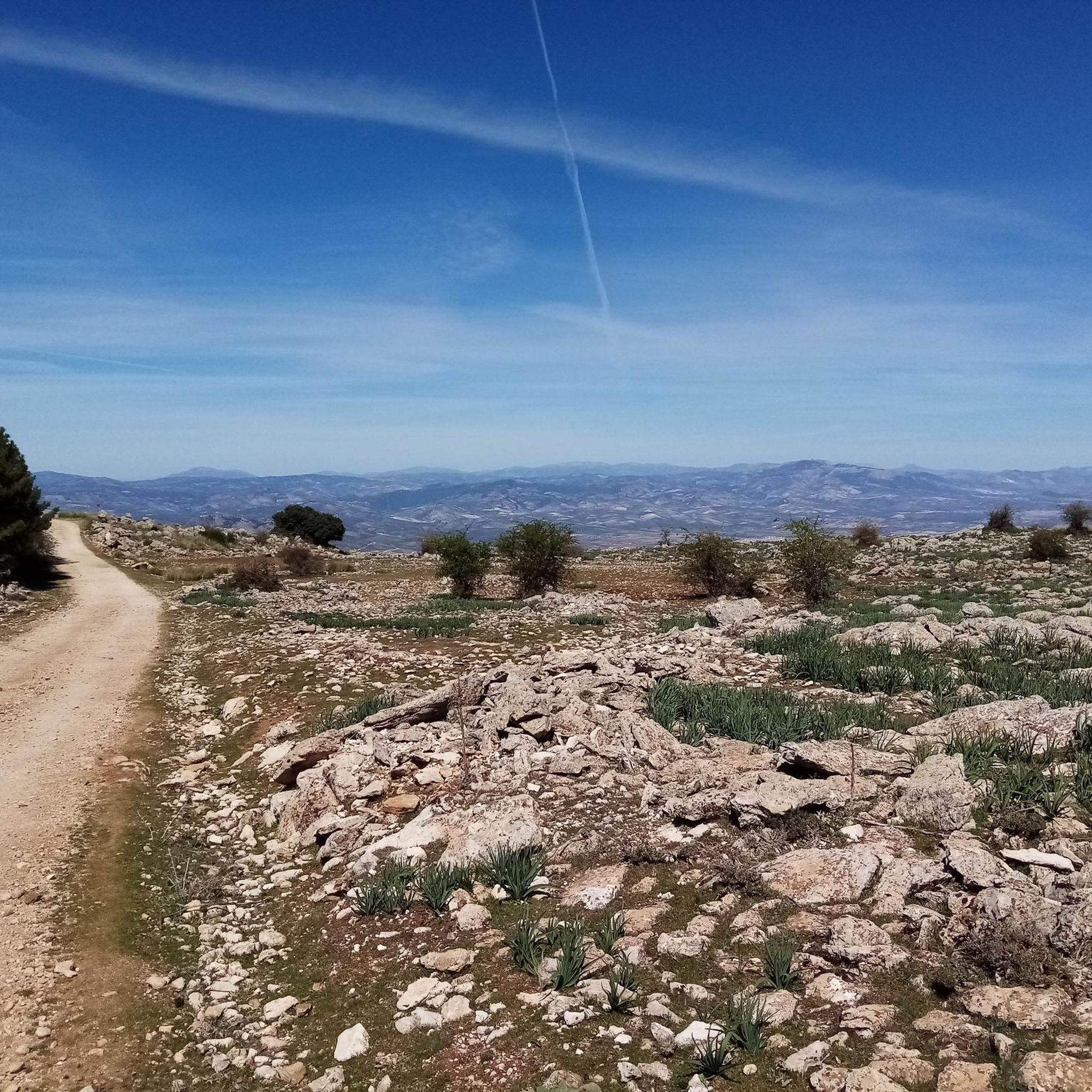
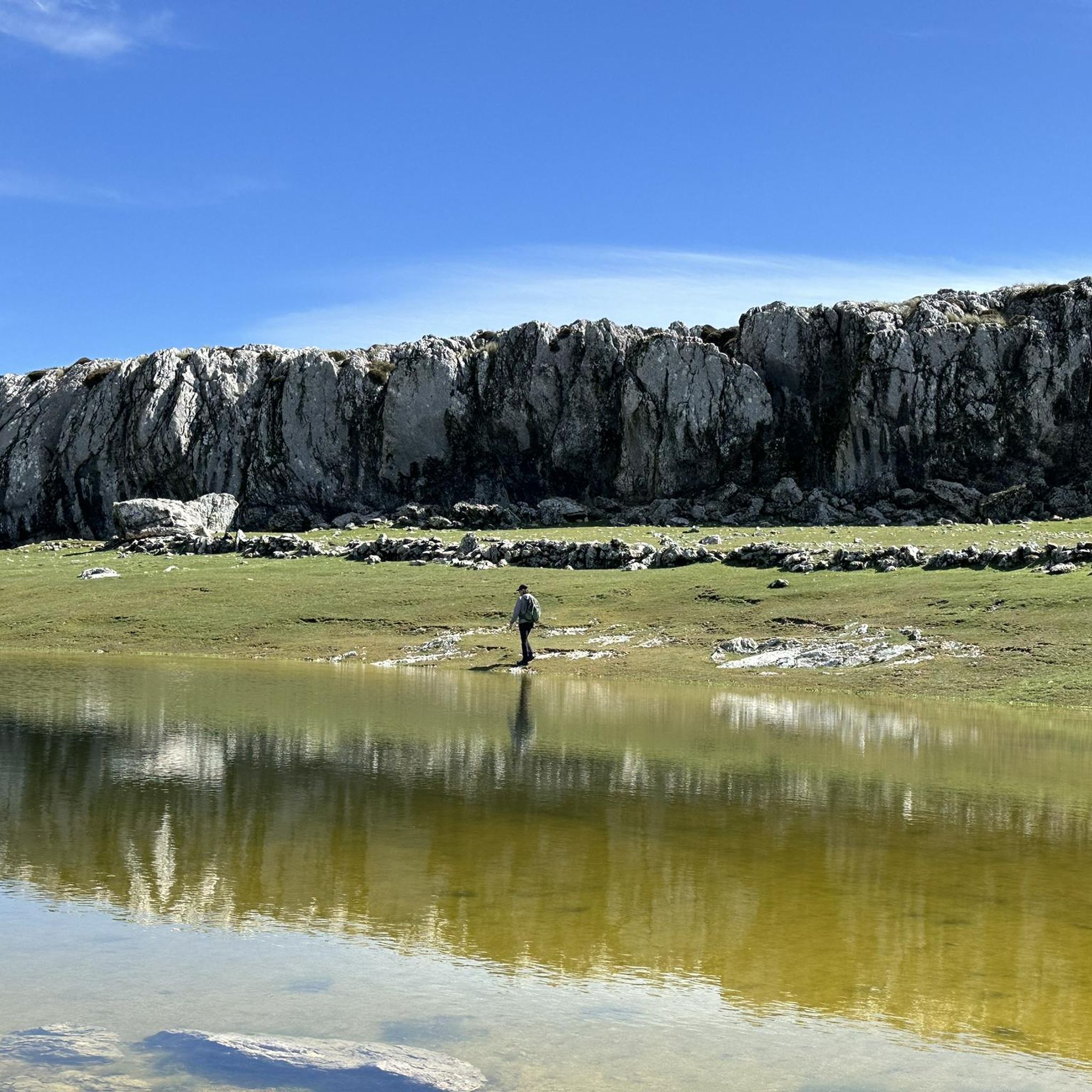
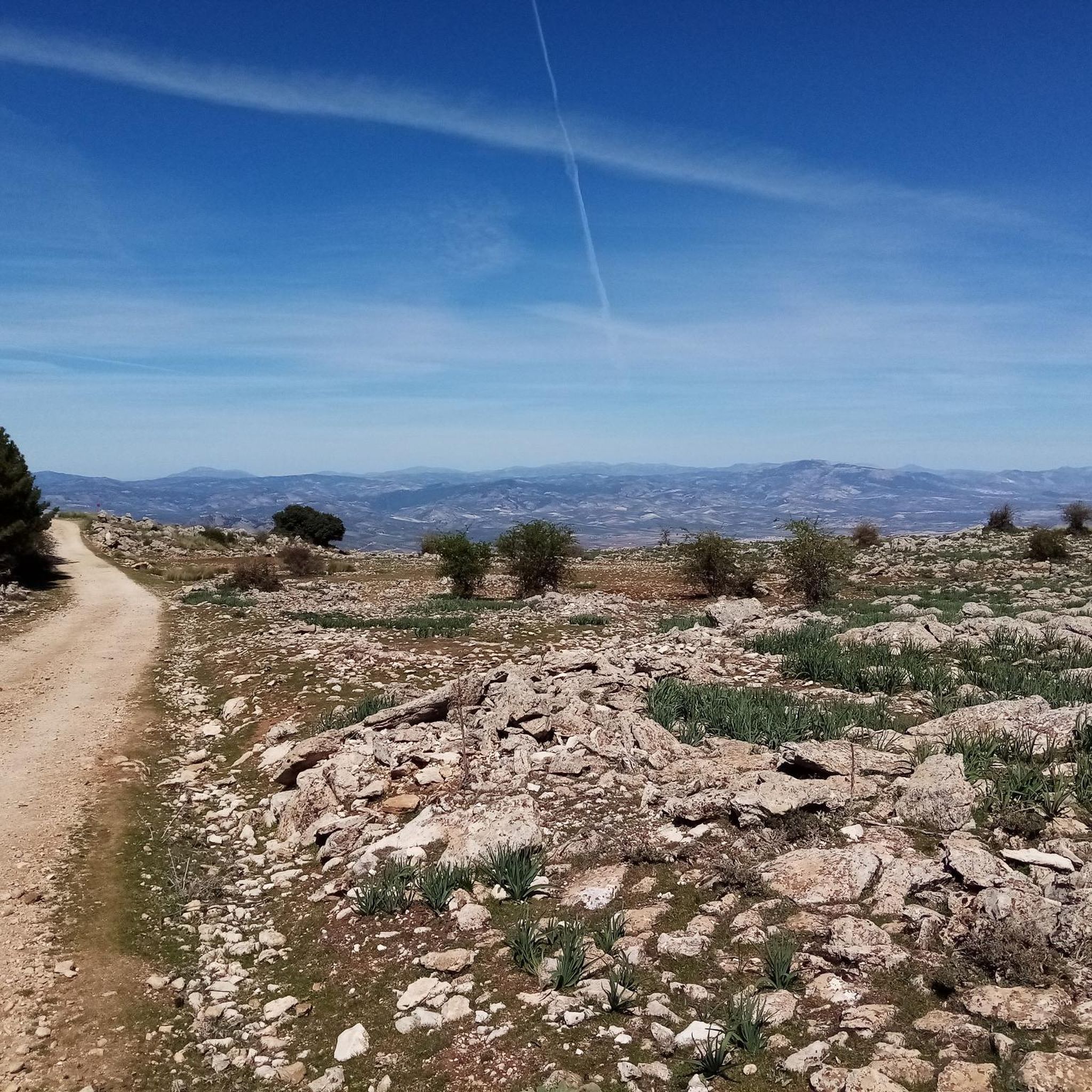
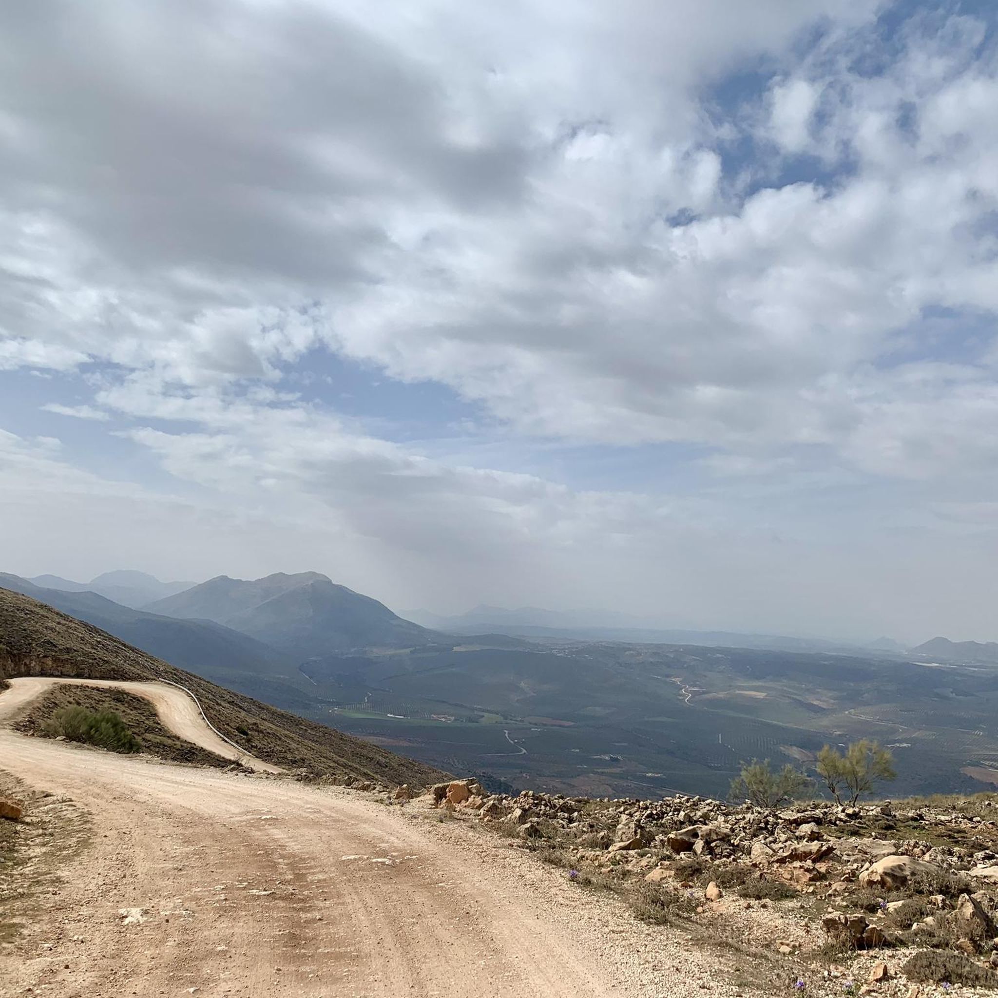
Road cycling routes in Sierra De Loja traverse a diverse and rugged landscape characterized by the Betic mountain systems and the Subbética mountain range. The region features prominent limestone massifs, extensive karst formations, and craggy hills, with elevations reaching up to 1,670 meters. Cyclists encounter smooth tarmac roads, shimmering reservoirs, and the shaping influence of the Genil River, providing varied terrain for road cycling.
Best road cycling routes in Sierra De Loja
- The most popular road cycling route is Mirador…
Last updated: October 21, 2026
5.0
(1)
42
riders
44.5km
01:58
310m
310m
Moderate road ride. Good fitness required. Some segments of this route may be unpaved and difficult to ride.
13
riders
42.9km
01:59
430m
430m
Moderate road ride. Good fitness required. Some segments of this route may be unpaved and difficult to ride.

13
riders
42.2km
02:07
690m
690m
Moderate road ride. Good fitness required. Mostly well-paved surfaces and easy to ride.
12
riders
50.1km
02:33
730m
730m
Moderate road ride. Good fitness required. Mostly well-paved surfaces and easy to ride.
5.0
(1)
26
riders
77.6km
03:57
1,100m
1,100m
Hard road ride. Very good fitness required. Some segments of this route may be unpaved and difficult to ride.
Get access to more routes and recommendations from other explorers.
Already have an account?
Our route recommendations are based on thousands of hikes, rides, and runs completed by other people on komoot.
Start today with a free account
Your next adventure awaits.

Tips from the Community

I was there mid november and the fountain was empty...
0
1

Always carry water
0
0

A colorful route with many beautiful areas. The 101 channels are truly breathtaking with so much water. The Rosario River is full of beauty with those spectacular waterfalls.
1
1

The Fuente de los Cien Caños is an impressive natural monument located in Villanueva del Trabuco, on the limestone slope of the Sierra de San Jorge. The fountain is known for being the source of the Guadalhorce River, the longest and most voluminous river in the province of Malaga.
5
0


A natural water spring is the origin of this fantastic fountain that has 100 taps through which the water comes out, hence its name. It is a very popular place in the area and is located in a picturesque landscape.
1
1

This gigantic fountain channels the water that flows from the San Jorge mountain range, constituting the most important contribution of the Guadalhorce river in its initial section. Despite its name, the fountain actually has 101 spouts!
2
0
Frequently Asked Questions
What kind of terrain can I expect on road cycling routes in Sierra de Loja?
Sierra de Loja offers a diverse and rugged landscape, characterized by dramatic karst formations, limestone massifs, and craggy hills. You'll encounter smooth tarmac roads, rolling olive groves, and mountainous sections with significant elevation changes. The region is also shaped by the Genil River and features shimmering reservoirs, providing varied scenery throughout your ride.
How many road cycling routes are available in Sierra de Loja?
There are over 60 road cycling routes available in Sierra de Loja, catering to various skill levels. This includes 27 moderate routes and 41 difficult routes, ensuring options for both experienced cyclists and those looking for a challenge.
Are there any family-friendly road cycling routes in Sierra de Loja?
While many routes in Sierra de Loja are moderate to difficult due to the mountainous terrain, there is at least one easy route available. For families, it's best to look for routes with minimal elevation gain and shorter distances. Always check the route details on komoot for specific difficulty and distance to ensure it's suitable for your family's experience level.
What are some notable natural features or landmarks to see along the road cycling routes?
The region is rich in natural beauty. You can expect to see dramatic karst landscapes, extensive sinkhole formations, and ravines. The Source of the Hundred Spouts is an impressive natural monument. The Iznájar Reservoir offers diverse landscapes, and the area around Loja, known as the "City of Water," features the Genil River. High points like Cerro de Santa Lucía and Pico de las Cabras offer spectacular panoramic views.
What is the best time of year for road cycling in Sierra de Loja?
The climate in Sierra de Loja is generally favorable for cycling. Spring and autumn are ideal, with pleasant temperatures. For example, average highs in April reach around 21°C. Summers can be hot, especially in July and August, so early morning rides are recommended during those months. Winters are milder but can have cooler temperatures at higher elevations.
Are there any challenging mountain passes for experienced road cyclists?
Yes, Sierra de Loja offers challenging climbs. The Puerto del Sol (1085 m) is a notable mountain pass known for its consistent gradients and switchbacks, providing stunning views of the Axarquia valley. Routes like the Iznájar Reservoir Loop also feature significant elevation gain, making them suitable for advanced riders.
What do other road cyclists enjoy most about road cycling in Sierra de Loja?
The road cycling routes in Sierra de Loja are highly rated by the komoot community, with an average score of 4.7 stars. Reviewers often praise the diverse and rugged landscapes, the smooth tarmac roads, and the variety of routes that cater to different ability levels, from moderate to difficult. The panoramic views from higher elevations are also frequently highlighted.
Are there any circular road cycling routes available?
Yes, many of the routes in Sierra de Loja are designed as circular loops, allowing you to start and end in the same location. Examples include the popular Mirador de Sylvania – Fuente de la Mora loop from Loja and the challenging Source of the Hundred Spouts and Archidona — circular from Loja.
What is the typical duration and distance for road cycling routes in this region?
Route durations and distances vary significantly. For example, the Mirador de Sylvania – Fuente de la Mora loop from Loja is a moderate 41.7 km route that takes about 2 hours 8 minutes. More challenging routes like the Iznájar Reservoir Loop cover 74.8 km and can take around 4 hours 17 minutes. There are also longer routes, such as the Montefrío – View of Olive Groves loop, which is 138 km.
Are there any specific events or organized rides in Sierra de Loja?
Yes, the region occasionally hosts organized cycling events. The Gran Fondo Guad al Xenil is a notable example, offering a challenging 139 km course with 2,600 meters of climbing on fully closed roads, providing an uninterrupted cycling experience for participants.
What are the parking options for road cyclists in Sierra de Loja?
Many routes start from towns like Loja, where public parking facilities are generally available. When planning your ride, it's advisable to check the starting point of your chosen route on komoot for specific parking recommendations or to identify suitable areas in nearby towns.
Are there cafes or places to refuel along the road cycling routes?
Routes often pass through or near towns and villages where you can find cafes, restaurants, and shops to refuel. Loja itself offers various amenities. For longer routes, it's always a good idea to carry sufficient water and snacks, especially when cycling through more remote sections of the karst landscape.
Most popular routes in Sierra De Loja
Most popular attractions in Sierra De Loja

Get inspired with the komoot mobile app


Explore more
Browse the best Road cycling routes in other regions.
