The best running trails in Sierra Magina
4.5
(2)
239
runners
41
runs
Jogging routes in Sierra Mágina traverse a landscape characterized by rugged, steep limestone terrain, featuring high summits and varied topography. The region is home to extensive Mediterranean forests of holm oaks, gall oaks, and Aleppo pines, providing shaded paths. River valleys, such as the Cuadros River with its significant oleander grove, offer flatter, picturesque running options. This diverse environment provides a range of terrains for different running intensities.
Best jogging routes in Sierra Magina
- The most popular jogging route is…
Last updated: July 7, 2026
13
runners
8.03km
01:12
360m
370m
Hard run. Very good fitness required. Mostly paved surfaces. Suitable for all skill levels.
10
runners
6.87km
01:02
330m
350m
Hard run. Very good fitness required. Mostly accessible paths. Some sure footedness required.

Sign up for free
6
runners
22.1km
03:20
1,110m
1,110m
Hard run. Very good fitness required. Mostly paved surfaces. Suitable for all skill levels.
27
runners
20.0km
03:05
1,030m
1,030m
Hard run. Very good fitness required. Mostly paved surfaces. Suitable for all skill levels.
26
runners
Hard run. Very good fitness required. Mostly paved surfaces. Suitable for all skill levels.
Get access to more routes and recommendations from other explorers.
Sign up for free
Already have an account?
Our route recommendations are based on thousands of hikes, rides, and runs completed by other people on komoot.
Start today with a free account
Your next adventure awaits.
Login or Signup
Popular around Sierra Magina
Tips from the Community

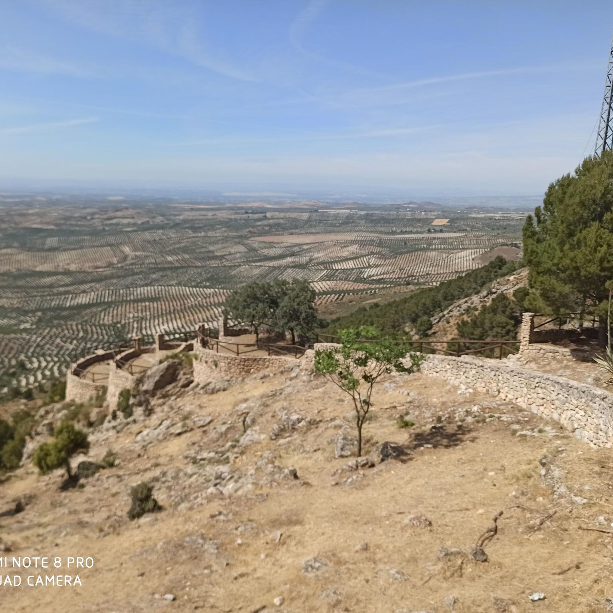
Nice viewpoint. You cannot go up to the top of the tower (door closed)
0
0
Very pretty! Be prepared to get your feet wet to discover the waterfall, the different "chambers" are well worth it!
0
0

The source of the Cuadros River is a place of great natural beauty located in the Sierra Mágina Natural Park, near Bedmar and Garcíez. This source, also known as the Sistillo, is one of the highlights of the Oleander Route.
5
0
The Cuadros oleander trail in Bedmar and Garcíez includes a short tunnel, approximately 10 meters long, which is part of the route. This tunnel runs parallel to a irrigation ditch and connects to the access slope to the Cuadros Sanctuary.
5
0
The Torreón de Cuadros is a cylindrical tower located in Bedmar y Garcíeza. This tower has a diameter of 6.37 meters and a height of 12 meters, with walls 1.6 meters thick. It was built on an earlier structure, possibly of Moorish origin, and is mentioned in a document by Alfonso X from 1260.
5
0
The Cueva del Agua in Bedmar y Garcíez is a fascinating place located in the Sierra Mágina Natural Park. This cave is known for its impressive geological formations created by the passage of water over time.
5
0

A real spectacle in its surroundings. From there you can see all the worlds, hence its name "Miramundos."
0
0
I loved it 😍🎈 "Where the earth touches the sky, there Mágina watches, eternal sentinel of the Holy Kingdom."
0
0
Frequently Asked Questions
How many running routes are available in Sierra Mágina?
Sierra Mágina offers a wide selection of running routes, with over 40 trails available on komoot. These routes cater to various fitness levels, ranging from easy jogs to challenging trail runs.
Are there any easy running routes suitable for beginners or families in Sierra Mágina?
Yes, while many routes are challenging, there are options for easier jogs. The Adelfal de Cuadros Trail, for instance, follows the Cuadros River through one of Europe's largest oleander groves, offering a picturesque and relatively flat path suitable for leisurely runs or family outings. You can find one easy route and 19 moderate routes on komoot.
What kind of challenging trail running experiences can I find in Sierra Mágina?
Sierra Mágina is renowned for its challenging trail running opportunities, particularly around its high peaks. Routes like Ascent to Pico Mágina and Miramundos, a difficult 13.7-mile (22.1 km) path, lead to the highest peak in the province, offering significant elevation gains and panoramic views. There are 23 difficult routes available on komoot for experienced runners.
What natural attractions can I see while running in Sierra Mágina?
Running in Sierra Mágina allows you to discover several natural wonders. You can explore the unique Adelfal de Cuadros Trail, which winds through a significant oleander grove. The Cueva del Agua de Bedmar is another notable cave formation. For breathtaking views, consider routes that pass by the Pico Mágina Summit (2,167 m).
Are there any historical landmarks or points of interest along the running routes?
Yes, Sierra Mágina's rich history means many routes pass by ancient structures. You might encounter castles and fortifications from the 13th to 15th centuries. For example, the Albanchez de Mágina Castle offers impressive views, and the Torreón de Cuadros is another historic tower you could see.
What do other runners say about the trails in Sierra Mágina?
The running routes in Sierra Mágina are highly regarded by the komoot community, with an average rating of 4.5 stars from over 2 reviews. Runners often praise the diverse terrain, from rugged peaks to shaded forest paths, and the stunning natural beauty of the park.
Are there any circular running routes in Sierra Mágina?
Yes, many routes in Sierra Mágina are designed as loops, allowing you to start and finish in the same location. An example is the Pico Mágina Summit (2,167 m) – Miramundos Shelter loop from Cortijo de Vista Alegre, which is a challenging 12.4-mile (20.0 km) trail.
What is the best time of year to go running in Sierra Mágina?
Sierra Mágina offers varied conditions throughout the year. While high summits can be snow-capped in winter, lower and mid-mountain areas provide shaded routes in Mediterranean forests, which can be pleasant during warmer months. Spring and autumn generally offer mild temperatures ideal for running, but the diverse topography means you can find suitable conditions almost year-round depending on the altitude and specific route.
Are there long-distance running options for endurance training in Sierra Mágina?
Absolutely. Sierra Mágina provides extensive options for long-distance runners. Routes like the Ascent to Pico Mágina and Miramundos, at 13.7 miles (22.1 km), offer significant distances and elevation. The presence of long-distance footpaths like the GR7 also indicates ample opportunities for extended runs.
Are there any running routes that feature water sources or waterfalls?
Yes, the region's limestone nature and river systems offer such features. The Source of the Cuadros River is a notable water feature, and the Cuadros River itself provides a scenic backdrop for runs. The Zurreón Waterfall, while not directly on a listed komoot route here, is a known natural attraction in the park that can be accessed via trails like the Sendero de Fuenmayor.
Is there parking available near the running trails in Sierra Mágina?
While specific parking facilities for each trail are not detailed, many routes, particularly those starting from recreational areas or villages, typically have designated parking. For example, the Fuenmayor Recreational Area serves as a starting point for several marked trails and would likely offer parking.
Can I access Sierra Mágina's running trails using public transport?
Access to Sierra Mágina Natural Park via public transport can be limited, as is common with many natural parks. While some traditional villages within the park might have bus connections, reaching specific trailheads often requires private transportation. It's advisable to check local bus schedules to nearby towns like Cambil, Huelma, or Torres if you plan to rely on public transport.
Most popular attractions in Sierra Magina

Get inspired with the komoot mobile app


Explore more
Browse the best Running Trails & Routes in other regions.
