The best road cycling routes in Isla De San Bruno
4.3
(62)
3,884
riders
107
rides
Road cycling routes in Isla De San Bruno traverse a varied landscape, characterized by significant elevation changes and diverse ecosystems. The region features an east-west ridgeline with elevations reaching over 1,300 feet, offering both challenging climbs and scenic descents. Cyclists can experience dense forests, open grasslands, and unique coastal prairie habitats. This topography provides a range of road cycling experiences, from demanding ascents to more moderate routes.
Best road cycling routes in Isla De San Bruno
- The most popular road…
Last updated: July 11, 2026
5.0
(1)
41
riders
Easy road ride. Great for any fitness level. Mostly well-paved surfaces and easy to ride.
3.7
(3)
168
riders
Moderate road ride. Good fitness required. Mostly well-paved surfaces and easy to ride.

Sign up for free
4.0
(1)
67
riders
Hard road ride. Very good fitness required. Mostly well-paved surfaces and easy to ride.
68
riders
Moderate road ride. Good fitness required. Mostly well-paved surfaces and easy to ride.
69
riders
Moderate road ride. Good fitness required. Mostly well-paved surfaces and easy to ride.
Get access to more routes and recommendations from other explorers.
Sign up for free
Already have an account?
Our route recommendations are based on thousands of hikes, rides, and runs completed by other people on komoot.
Start today with a free account
Your next adventure awaits.
Login or Signup
Tips from the Community

Historic bridge over the Rio Gilhão in the center of Tavira
0
0

The current bridge, contrary to its name, has nothing to do with the Romans. It was only built in the 20th century. The original Roman bridge no longer exists, but it was present here.
0
0

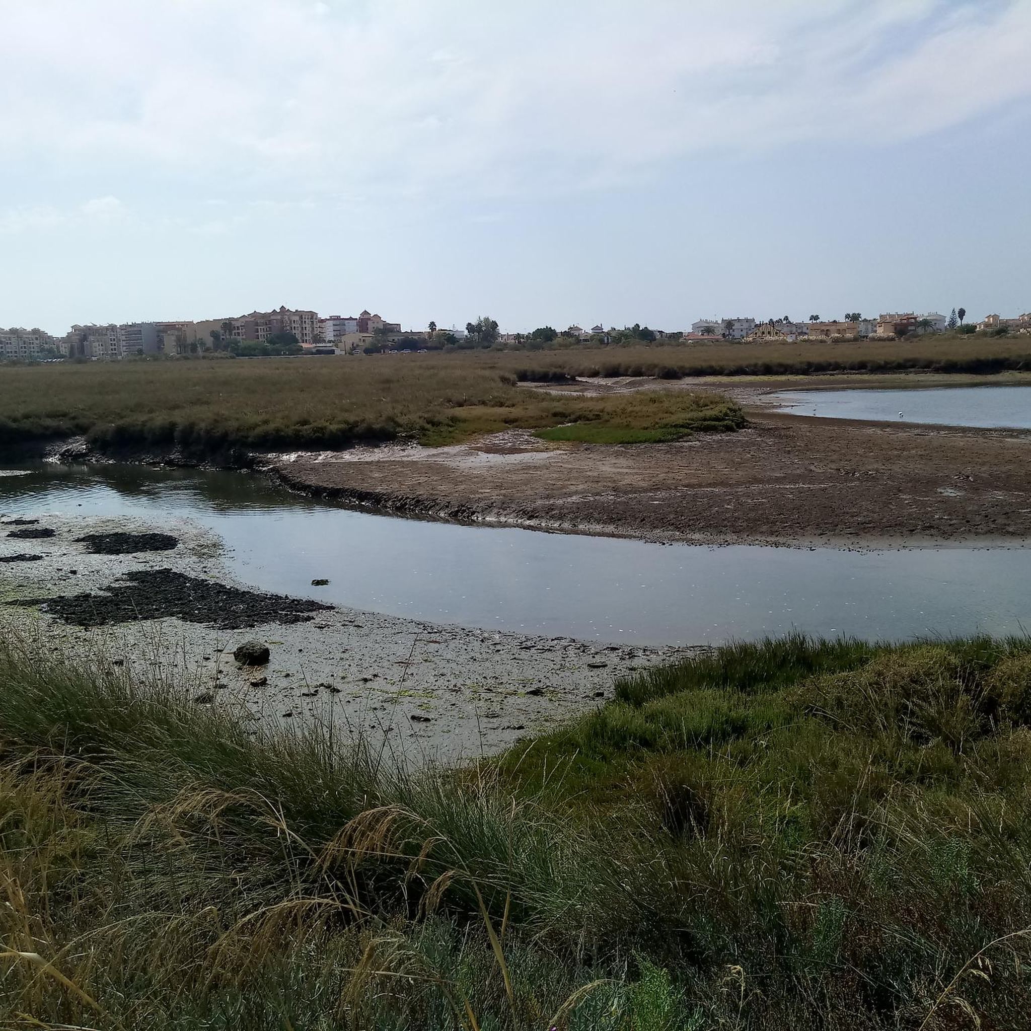
Tavira is a beautiful coastal town on Portugal's Algarve coast. It lies on the Gilão River, which flows into the sea via estuaries and lagoons in the Ria Formosa Natural Park. Tavira Island boasts a long sandy beach and salt flats that attract flamingos, spoonbills, and other wading birds. The medieval Castelo de Tavira is located in the town center and offers panoramic views. The Church of Santa María do Castelo houses the tombs of seven knights killed by the Moors. The town has many charming restaurants, bars, cafes, and shops!
3
0
Vila Real de Santo António is located on the Gulf of Cádiz, which is part of the Atlantic Ocean, and on the right bank of the Guadiana River, whose lower reaches form the border between Portugal and Spain. The town offers several attractions, charming restaurants, bars, and cafés! A ferry ⛴️ provides convenient hourly service to the Spanish town of Ayamonte.
3
0
Vila Real de Santo António is a municipality and town in the Faro District of Portugal. It lies on the Gulf of Cádiz, which is part of the Atlantic Ocean, and on the right bank of the Guadiana River, whose lower reaches form the border between Portugal and Spain. Ayamonte, in Spain, lies on the opposite bank of the Guadiana River.
4
0
Vila Real de Santo António is a municipality and town in the Faro District of Portugal. It lies on the Gulf of Cádiz, which is part of the Atlantic Ocean, and on the right bank of the Guadiana River, whose lower reaches form the border between Portugal and Spain. Ayamonte, in Spain, lies on the opposite bank of the Guadiana River.
3
0

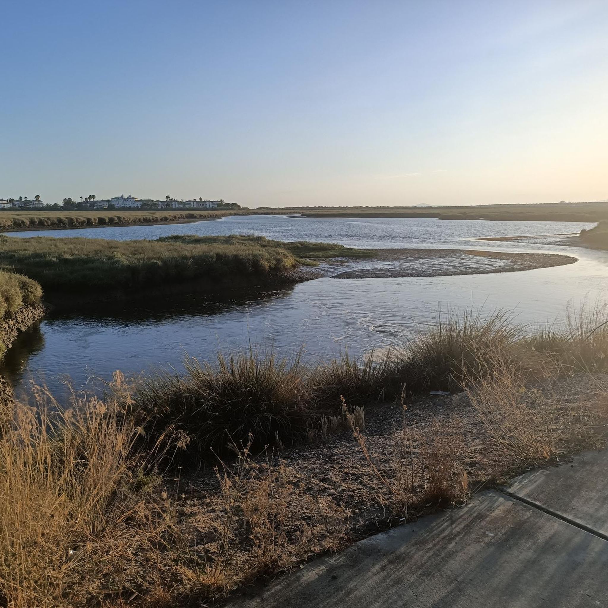
Located in the Eastern Algarve, along the banks of the Guadiana River, Quinta do Vale is less than an hour from Faro Airport and just five minutes from the Spanish border. Harmoniously integrated into the Algarve landscape, the resort offers stunning views of the Guadiana River. The golf course is a masterpiece of strategic design, with wide fairways, numerous doglegs, and water hazards, requiring precision and careful club selection. Each hole presents a unique challenge, providing a rewarding experience for golfers of all levels. Immersed in the natural landscape of the Algarve, overlooking the Guadiana River and the surrounding hills, Quinta do Vale offers an experience that combines sport and relaxation. Whether playing golf or simply enjoying the beauty of nature, this is the place where serenity and excellence meet. (Source: www.quintadovalegolf.com)
11
0
Noble house dating back to the 17th century and belonging to the Falcão family.
11
0
Frequently Asked Questions
How many road cycling routes are available in San Bruno, California?
San Bruno, particularly around San Bruno Mountain, offers a wide variety of road cycling experiences. Our komoot guide features over 100 distinct road cycling routes, catering to various skill levels and preferences.
What kind of terrain can I expect when road cycling in San Bruno?
Road cycling in San Bruno, especially within San Bruno Mountain State and County Park, features diverse terrain. You'll encounter significant elevation changes, including challenging climbs up to 1,314 feet at the summit, and scenic descents. Routes traverse dense forests, open grasslands, and unique coastal prairie habitats, offering a varied and engaging ride.
Are there any challenging road cycling routes for experienced riders?
Yes, San Bruno offers several challenging routes. For instance, the View of the Odeleite Dam – Castro Marim Salt Pans loop from Vila Real de Santo António is a difficult 46.1-mile path with substantial climbs, featuring an elevation gain of over 2,900 feet. The varied topography of San Bruno Mountain provides ample opportunities for demanding ascents.
Are there any easier or moderate road cycling options in San Bruno?
Absolutely. For a moderate experience, consider the Tavira Roman Bridge – Old/Roman Bridge 🌉 Tavira loop from Vila Real de Santo António, a 35-mile route with an elevation gain of about 886 feet. Another moderate option is the Castro Marim Salt Pans – Falcão Manor loop from Vila Real de Santo António, which is 30.1 miles long with an elevation gain of 1,223 feet. There are also easier routes available, such as the Statue of the Medieval Knight – Castro Marim Salt Pans loop from Vila Real de Santo António, an easy 18.6-mile route.
What are the best times of year to go road cycling in San Bruno?
San Bruno experiences moderate temperatures year-round. While fog is a common characteristic and strong winds can occur along ridges, spring is particularly beautiful due to magnificent wildflower displays. Cyclists should be prepared for varying weather conditions, including potential fog and wind, regardless of the season.
What scenic viewpoints can I expect to see while road cycling in San Bruno?
The summit of San Bruno Mountain State and County Park offers panoramic views of the entire San Francisco Bay Area, making it a highly rewarding destination. Additionally, the Sweeney Ridge Trail provides stunning vistas of both the Pacific Ocean and the San Francisco Bay, combining natural beauty with historical significance.
Is San Bruno Mountain State and County Park suitable for family-friendly road cycling?
While San Bruno Mountain offers challenging climbs, there are also sections and surrounding areas that can be more suitable for families. It's best to check individual route descriptions for difficulty levels and elevation profiles to find paths that align with your family's cycling abilities. The park's diverse ecosystems and views can be enjoyed by all.
Are there any specific attractions or natural features to look out for on a road cycling trip in San Bruno?
Beyond the panoramic views, San Bruno Mountain is a biodiversity hotspot. You can observe diverse plant communities like coastal scrub, grasslands, and oak woodlands. It's also critical habitat for endangered butterflies such as the San Bruno Elfin and Mission Blue. In spring, the mountain is known for its vibrant wildflower displays.
What do other road cyclists say about their experiences in San Bruno?
The road cycling routes in San Bruno are highly rated by the komoot community, with an average score of 4.3 stars from over 56 reviews. Cyclists often praise the varied terrain, the challenging climbs, and the rewarding panoramic views of the Bay Area.
Are there any loop routes available for road cycling in San Bruno?
Yes, many of the road cycling routes in San Bruno are designed as loops, allowing you to start and end at the same point. Examples include the Tavira Roman Bridge – Old/Roman Bridge 🌉 Tavira loop from Vila Real de Santo António and the View of the Odeleite Dam – Castro Marim Salt Pans loop from Vila Real de Santo António, providing convenient circular journeys.
Is it possible to access San Bruno road cycling routes using public transport with a bike?
San Bruno is part of the San Francisco Bay Area, which has various public transportation options. While specific rules for bikes on public transport vary by agency (e.g., BART, Caltrain, SamTrans), many allow bikes during off-peak hours or have dedicated bike cars. It's advisable to check the specific public transport provider's website for their current bike policies and schedules before planning your trip.
Where can I find parking for road cycling routes in San Bruno?
Parking is generally available at or near the access points for San Bruno Mountain State and County Park. Specific parking areas can be found at various trailheads. It's recommended to check local park maps or online resources for designated parking lots closest to your chosen route's starting point.
Most popular routes in Isla De San Bruno

Get inspired with the komoot mobile app


Explore more
Browse the best Road cycling routes in other regions.
