The best road cycling routes in Embalse De Cordobilla
4.1
(7)
922
riders
85
rides
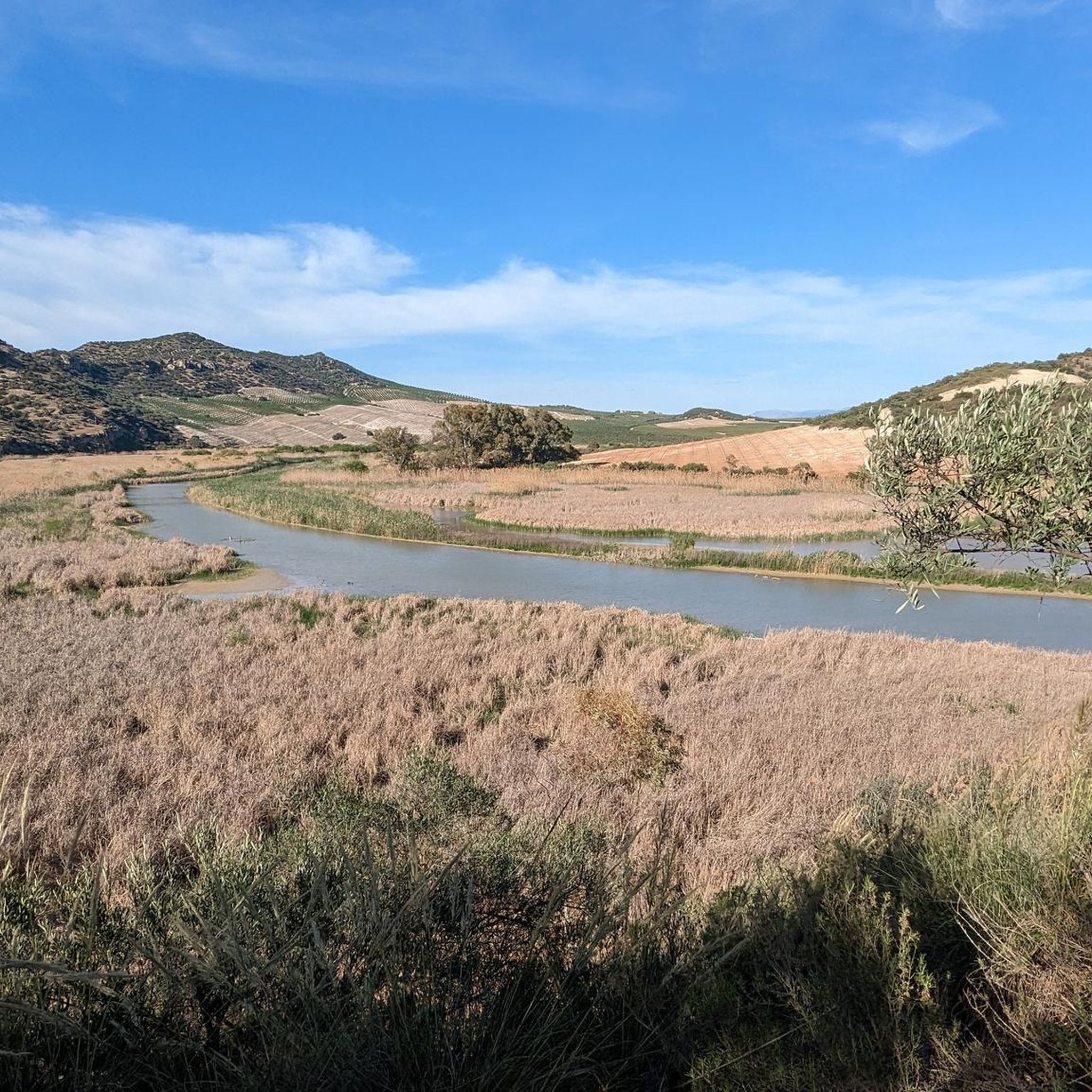
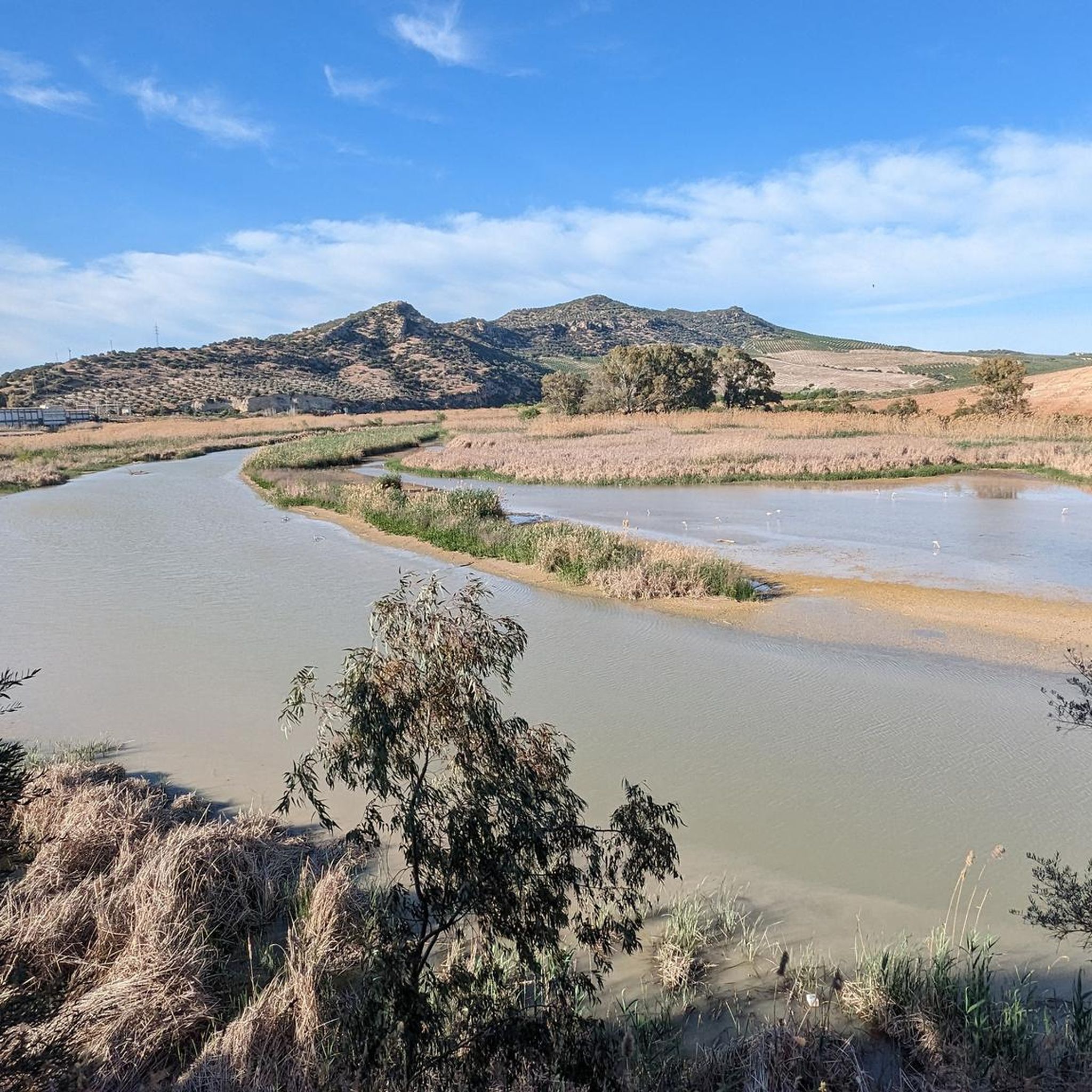
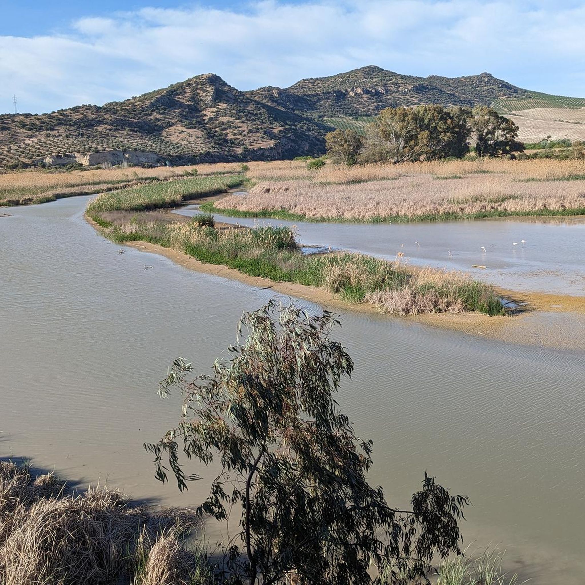
Road cycling routes in Embalse De Cordobilla traverse a landscape characterized by the Genil River and extensive agricultural areas, primarily olive groves and cereal fields. The region features a generally soft and open relief, making it suitable for varied cycling experiences. The Vía Verde del Aceite, a former railway line, offers a smooth, paved surface with gentle slopes, ideal for road cyclists. This area, a protected wetland, provides a backdrop of natural features and diverse ecosystems.
Best road cycling routes…
Last updated: October 13, 2026
20
riders
52.2km
02:23
580m
590m
This moderate 32.4-mile road cycling route from Puente Genil explores the Andalusian countryside, featuring olive groves and river views.
8
riders
54.2km
04:03
910m
910m
Hard road ride. Very good fitness required. Some segments of this route may be unpaved and difficult to ride.

37
riders
71.5km
03:16
750m
740m
Moderate road ride. Good fitness required. Some segments of this route may be unpaved and difficult to ride.
36
riders
59.9km
02:34
500m
500m
Moderate road ride. Good fitness required. Mostly well-paved surfaces and easy to ride.
32
riders
91.4km
04:11
990m
990m
Hard road ride. Very good fitness required. Some segments of this route may be unpaved and difficult to ride.
Get access to more routes and recommendations from other explorers.
Already have an account?
Our route recommendations are based on thousands of hikes, rides, and runs completed by other people on komoot.
Start today with a free account
Your next adventure awaits.
Tips from the Community

give it your all
0
0

Aguilar de la Frontera [2] is a Spanish municipality in the southwest of the province of Córdoba, in the autonomous community of Andalusia. The municipality is located in the region of Campiña Sur Cordobesa [3] and is the seat of the judicial district of the same name. [4] It lies at an altitude of 280 m above sea level [5] and about 47 km from the provincial capital, Córdoba. [6] In 2017, it had 13,476 inhabitants and a population density of 82.01 inhabitants/km². [7]
0
0
Sebastian, and Easter eggs. It's safe to say that San Sebastián's colonial and "German" roots are still very present among its residents today, and they are often proud of them, so much so that even the local first name is "Sebastianenses" or "Alemanes." But... what about the language? Why has nothing of the language of these settlers survived to this day? The majority of the population was, of course, German, since the French settlers also came from German-speaking areas. It is believed that the first settlers and their children spoke exclusively German. However, when they came into contact with the locals, they had to learn Spanish. Therefore, it is quite possible that for several decades they spoke German among themselves, especially at home, and Spanish on the street or at work. Certainly, there were German expressions used when speaking Spanish, or words from both languages were mixed when speaking (as happens today in Gibraltar, where they speak the famous "Spanglish," a mixture of English and Spanish). Over the years and across generations, the German language fell into disuse until, almost 250 years later, it reached what it is today. It is striking that (at least as far as I know) there is not a single vernacular word or expression in German or of German origin. Proof that German expressions continued to exist in everyday life even when the Sebastianians spoke Spanish was provided to me by a good friend from the city named Sebastian. This man, about 55 years old, remembers how, when he was very young, his grandmother, who was already very old, fed the chickens instead of calling them with a voice of "PITAS, PITAS, PITAS!" He called them in German: KOMM, KOMM, KOMM! (come, come, come).
0
0

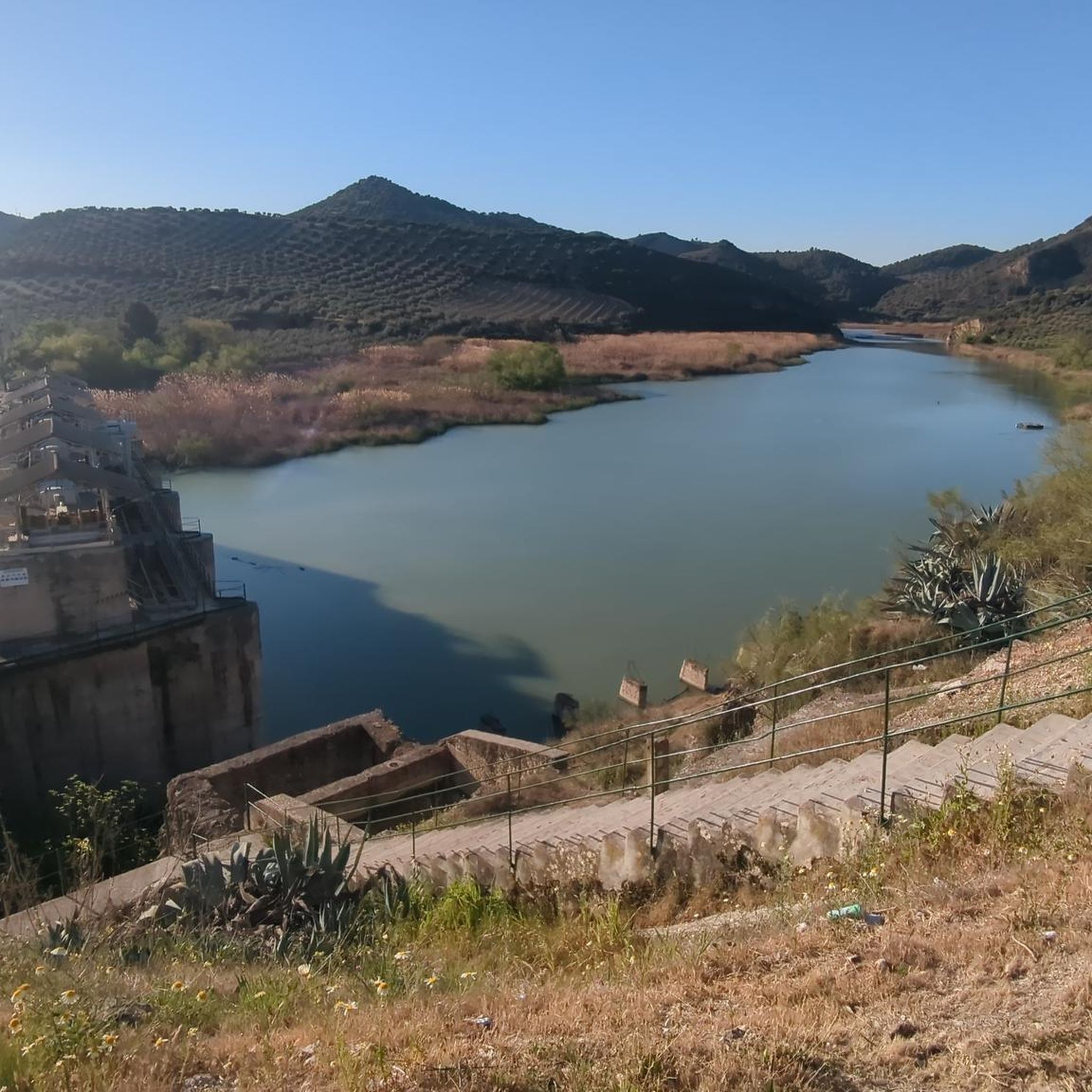
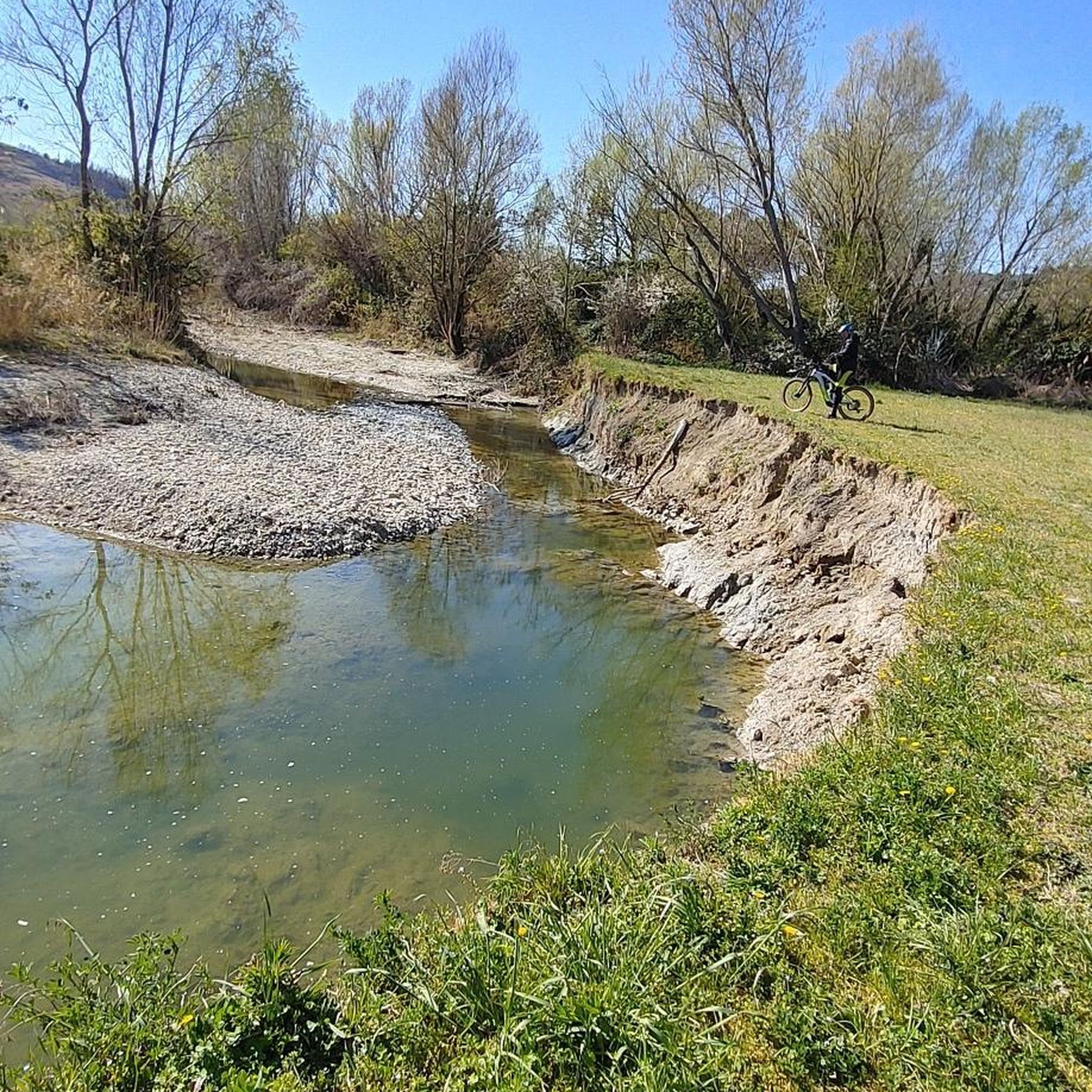
Beautiful views of the Malpasillo Reservoir and you can also see the continuity of the Río Genil!
0
0
Morels and as it comes says some sign of the nucleus is an important and recognized place at the same time as creating wine. Its streets and surroundings are related to the vineyard and you can see it just by stepping on it.
0
1

View of the Malpasillo Dam on the Genil River on the outskirts of the town of Badolatosa. The slowing of the river creates a unique natural landscape and a habitat for wildlife. A great outdoor space for adventure.
1
0
Climb through the Estepa pine forest to reach this high point and the communication antennas peek out from among the trees. Great gravel trails around the forest and nearby quarries.
1
0

Laguna de Zóñar is a "Wetland of International Importance". It belongs to the Inventory of Protected Natural Areas of the Junta de Andalucía. It is the only natural lake in Andalusia, reaching a depth of 14 meters. It is the habitat of more than 30 species of birds, which we can observe walking through this unique place.
2
0
Frequently Asked Questions
What kind of terrain can I expect on road cycling routes around Embalse de Cordobilla?
The terrain around Embalse de Cordobilla is generally soft and open, characterized by extensive agricultural areas, primarily olive groves and cereal fields. You'll find routes traversing the Genil River basin, with some sections offering gentle slopes, particularly on the Vía Verde del Aceite, which is a former railway line with a smooth, paved surface.
How many road cycling routes are available in the Embalse de Cordobilla area?
There are over 60 road cycling routes available in the Embalse de Cordobilla area, offering a variety of experiences for different skill levels.
Are there routes suitable for beginners or those looking for an easier ride?
Yes, while many routes are moderate to difficult, there are options for easier rides. The Vía Verde del Aceite, for instance, is known for its gentle slopes and paved surfaces, making it ideal for a relaxed cycling experience. You can find routes like Casariche and Badolatosa — circular from, which is a moderate route suitable for many cyclists.
What are the typical distances and elevation gains for road cycling routes here?
Routes vary significantly in distance and elevation. For example, the Casariche and Badolatosa — circular from route covers about 52 km with around 585 meters of elevation gain. More challenging routes, such as From Puente Genil to Cerro Becerrero – circular via Estepa, can be around 54 km with over 900 meters of elevation gain.
What natural features or viewpoints can I expect to see along the routes?
The Embalse de Cordobilla is a protected wetland, so you'll encounter diverse ecosystems, including extensive reed beds and tamarisk forests, especially near the river mouths. The surrounding area features olive groves, cereal fields, and riparian vegetation with white poplars and eucalyptus. While specific viewpoints aren't always marked for road cycling, the open landscape provides panoramic views of the Andalusian countryside and glimpses of the reservoir itself. The Vía Verde del Aceite offers views of endless olive groves and impressive 19th-century metallic viaducts.
Are there any circular road cycling routes available?
Yes, many routes in the area are circular, allowing you to start and end in the same location. Examples include Casariche and Badolatosa — circular from and From Puente Genil to Cerro Becerrero – circular via Estepa, both offering loop experiences.
What is the best time of year for road cycling in Embalse de Cordobilla?
The region experiences a Mediterranean climate. Spring and autumn generally offer the most pleasant temperatures for road cycling, avoiding the intense heat of summer and the cooler, potentially wetter days of winter. This allows for comfortable rides through the open agricultural landscapes.
Are there cafes or places to stop for refreshments along the cycling routes?
Yes, especially along the Vía Verde del Aceite, many old railway stations have been converted into cafes or visitor centers, providing convenient stops for refreshments. Routes that pass through towns like Puente Genil, Casariche, or Badolatosa will also offer opportunities for cafes and restaurants.
What do other road cyclists enjoy most about cycling in Embalse de Cordobilla?
The area is highly rated by the komoot community, with an average score of 4.4 stars. Cyclists often praise the varied terrain, from the gentle Vía Verde del Aceite to more challenging routes with significant elevation, and the picturesque agricultural landscapes, especially the olive groves.
Is public transport available for cyclists with bikes to reach the Embalse de Cordobilla area?
While specific public transport options for bikes directly to the Embalse are limited, Puente Genil is a key access point. It's advisable to check local bus or train services from larger cities like Córdoba or Seville, as some may accommodate bikes, though this often requires prior arrangement or specific times.
Where can I find parking for road cycling routes near Embalse de Cordobilla?
For routes starting near towns like Puente Genil, you can typically find public parking facilities. When accessing the Vía Verde del Aceite, there are often designated parking areas at former railway stations or trailheads. It's recommended to check the starting point of your chosen route for specific parking information.
Are there any challenging road cycling routes in the area?
Yes, for experienced cyclists seeking a challenge, there are difficult routes with significant elevation gains. An example is From Puente Genil to Cerro Becerrero – circular via Estepa, which is a difficult 54 km path with over 900 meters of climbing.
Most popular routes in Embalse De Cordobilla

Get inspired with the komoot mobile app


Explore more
Browse the best Road cycling routes in other regions.
