The best road cycling routes around Pfeffelbach
4.6
(74)
1,391
riders
130
rides
Road cycling routes around Pfeffelbach traverse a landscape characterized by rolling hills, river valleys, and a mix of open agricultural land and forested sections. The region offers varied terrain suitable for different road cycling preferences. Elevation changes are present, providing both challenging climbs and flatter sections along waterways. The network of routes allows for exploration of the area's natural features and local communities.
Best road cycling routes around Pfeffelbach
- The most popular road cycling route is Baumholder Panzerplatte – Erdesbach…
Last updated: July 5, 2026
4.0
(6)
76
riders
65.4km
02:51
300m
300m
Moderate road ride. Good fitness required. Some segments of this route may be unpaved and difficult to ride.
4.5
(4)
59
riders
58.6km
02:41
670m
670m
Moderate road ride. Good fitness required. Mostly well-paved surfaces and easy to ride.

Sign up for free
4.3
(6)
63
riders
Easy road ride. Great for any fitness level. Mostly well-paved surfaces and easy to ride.
21
riders
47.3km
02:05
440m
440m
Moderate road ride. Good fitness required. Some segments of this route may be unpaved and difficult to ride.
5.0
(2)
15
riders
31.6km
01:35
420m
420m
Moderate road ride. Good fitness required. Mostly well-paved surfaces and easy to ride.
Get access to more routes and recommendations from other explorers.
Sign up for free
Already have an account?
Our route recommendations are based on thousands of hikes, rides, and runs completed by other people on komoot.
Start today with a free account
Your next adventure awaits.
Login or Signup
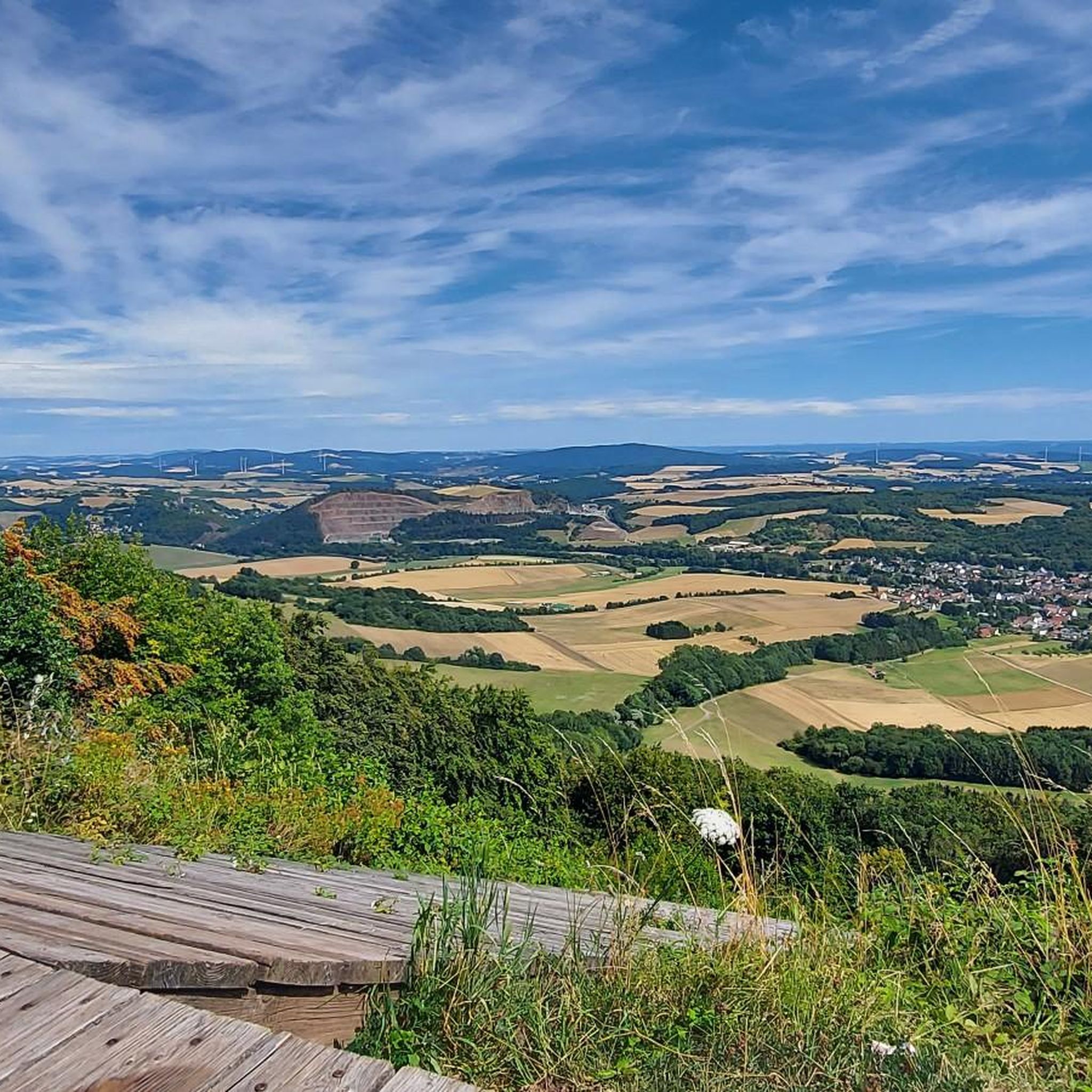
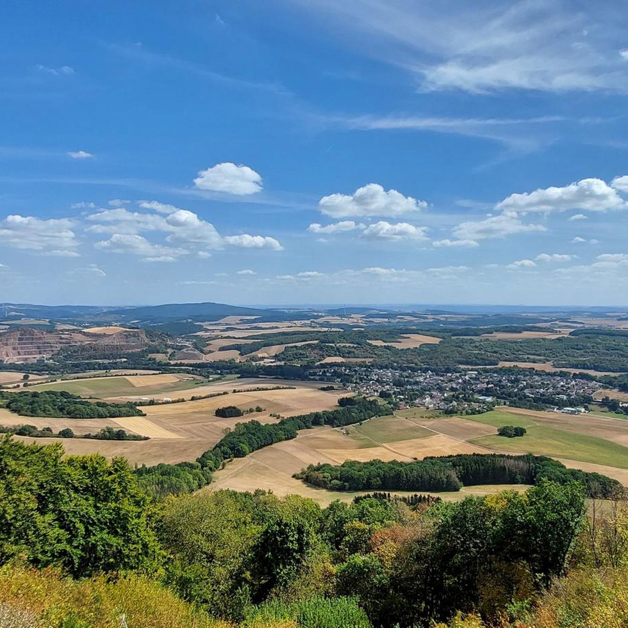

Tips from the Community

Directly on the path but well hidden.
0
0

Sankt Wendel, with its beautiful historic old town, the basilica and the lively gastronomy, is always worth a visit!
0
1

Very nice cycle path, highly recommended....
0
0
Currently, perhaps with a little more excitement when driving through...
0
0
Cool thing to drive with these things is certainly fun
0
0
OK, the Stelvio is unrivaled...but yes, the switchbacks are fine...
0
0
Great buildings highly recommended
0
0
Frequently Asked Questions
How many road cycling routes are available around Pfeffelbach?
There are over 130 road cycling routes in the Pfeffelbach region, offering a wide variety of options for different skill levels and preferences.
Are there easy road cycling routes suitable for beginners in Pfeffelbach?
Yes, Pfeffelbach offers several easy road cycling routes. For instance, the Sankt Wendeler Land Cycle Path – Sankt Wendeler Land Rail Trail loop from Freisen is an easy 16.7-mile (26.9 km) path that follows established cycle paths and rail trails, providing a smooth ride through varied scenery.
What are some of the longer road cycling routes available around Pfeffelbach?
For those seeking longer rides, the Baumholder Panzerplatte – Erdesbach Weir on the Glan loop from Freisen is a substantial 36.4-mile (58.6 km) route featuring a mix of open terrain and sections along the Glan river. Another option is the Old Fire Station Dörrenbach – Rosengarten Ottweiler loop from Oberkirchen, which covers 29.4 miles (47.2 km) through rural landscapes.
For experienced road cyclists, what are some challenging routes around Pfeffelbach?
The region around Pfeffelbach features rolling hills and elevation changes, providing challenging sections for experienced cyclists. While specific 'difficult' routes are not highlighted in the top picks, many of the moderate routes, especially those with significant elevation gain like the Baumholder Panzerplatte – Erdesbach Weir on the Glan loop from Freisen (673m elevation gain), will offer a good workout.
When is the best time of year to go road cycling in Pfeffelbach?
The best time for road cycling in Pfeffelbach is typically from spring to autumn (April to October). During these months, the weather is generally mild and pleasant, with less rain and comfortable temperatures for longer rides. Spring offers blooming landscapes, while autumn provides beautiful foliage.
What scenic viewpoints or natural attractions can I discover along the road cycling routes?
Road cycling routes around Pfeffelbach offer access to various natural attractions. You can find highlights such as the Weiselberg Summit and Steinerne Meer, the View of the Potzberg, and the Erdesbach Weir on the Glan. These points of interest provide excellent opportunities for a break and to enjoy the regional landscape.
Are there family-friendly road cycling routes in the Pfeffelbach area?
Yes, routes that follow established cycle paths and rail trails are generally suitable for families. The Sankt Wendeler Land Cycle Path – Sankt Wendeler Land Rail Trail loop from Freisen is an easy option that provides a smooth and safe ride, ideal for families with children.
Can I find routes with opportunities for cafe stops or refreshments?
Many routes in the Pfeffelbach region pass through or near local communities and villages, offering opportunities for cafe stops, bakeries, or restaurants. Planning your route to include stops in towns like Freisen or Oberkirchen will ensure you have places to refuel and relax.
Where can I find parking for road cycling routes in Pfeffelbach?
Designated parking areas are often available in the starting towns of many routes, such as Freisen or Oberkirchen. Look for public parking lots in these communities, which typically serve as convenient access points for the cycling trails.
Is it possible to access road cycling routes in Pfeffelbach using public transport?
While public transport options might be limited in some rural areas, regional bus services often connect larger towns. Check local public transport schedules for connections to starting points like Freisen or Oberkirchen. Some routes, especially those following former rail lines, might have better access.
What do other road cyclists enjoy the most about road cycling in Pfeffelbach?
The road cycling experience in Pfeffelbach is highly rated by the komoot community, with an average score of 4.5 stars. Reviewers often praise the varied terrain, which includes rolling hills and scenic river valleys, as well as the well-maintained cycle paths that allow for exploration of both natural features and local communities.
Are there circular road cycling routes available around Pfeffelbach?
Yes, many of the road cycling routes in the Pfeffelbach area are designed as loops, allowing you to start and finish in the same location. Examples include the Baumholder Panzerplatte – Erdesbach Weir on the Glan loop from Freisen and the Sankt Wendeler Land Cycle Path – Sankt Wendeler Land Rail Trail loop from Freisen.
Most popular attractions around Pfeffelbach

Get inspired with the komoot mobile app


Explore more
Browse the best Road cycling routes in other regions.
