The best road cycling routes in Alto Guadiato
4.8
(9)
145
riders
24
rides
Road cycling in Alto Guadiato offers diverse terrain across the northwest of Córdoba province, Spain. The region is characterized by its position between the Sierra Morena and the Valle de los Pedroches, featuring a landscape of mountains, pastures, and oak forests. The Guadiato River valley and its reservoirs, such as Sierra Boyera, are prominent features, providing varied environments for road cycling routes. The area includes both flat sections and significant elevation changes, suitable for different cycling preferences.
Best road cycling…
Last updated: October 13, 2026
3
riders
73.0km
03:05
550m
550m
Moderate road ride. Good fitness required. Mostly well-paved surfaces and easy to ride.
14
riders
56.2km
02:39
700m
700m
Moderate road ride. Good fitness required. Mostly well-paved surfaces and easy to ride.

9
riders
36.2km
01:39
420m
420m
Moderate road ride. Good fitness required. Mostly well-paved surfaces and easy to ride.
4
riders
73.9km
03:36
800m
800m
Moderate road ride. Good fitness required. Some segments of this route may be unpaved and difficult to ride.
5
riders
110km
05:21
1,570m
1,570m
Hard road ride. Very good fitness required. Mostly well-paved surfaces and easy to ride.
Get access to more routes and recommendations from other explorers.
Already have an account?
Our route recommendations are based on thousands of hikes, rides, and runs completed by other people on komoot.
Start today with a free account
Your next adventure awaits.
Popular around Alto Guadiato
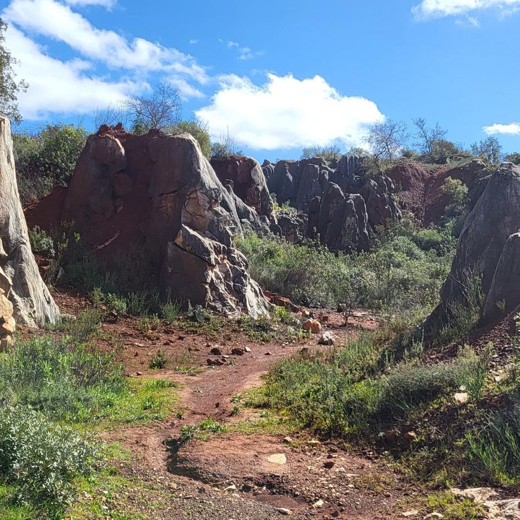
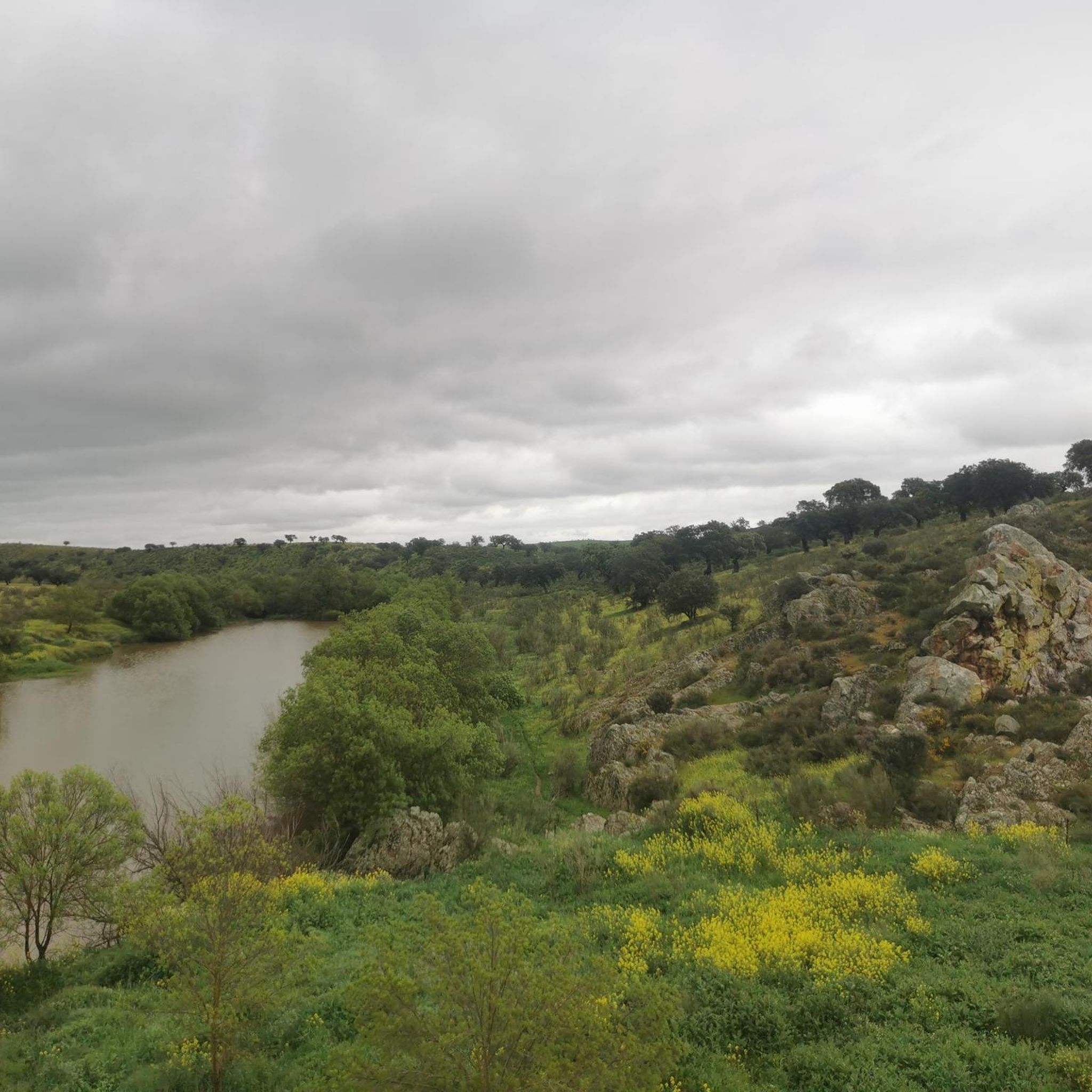
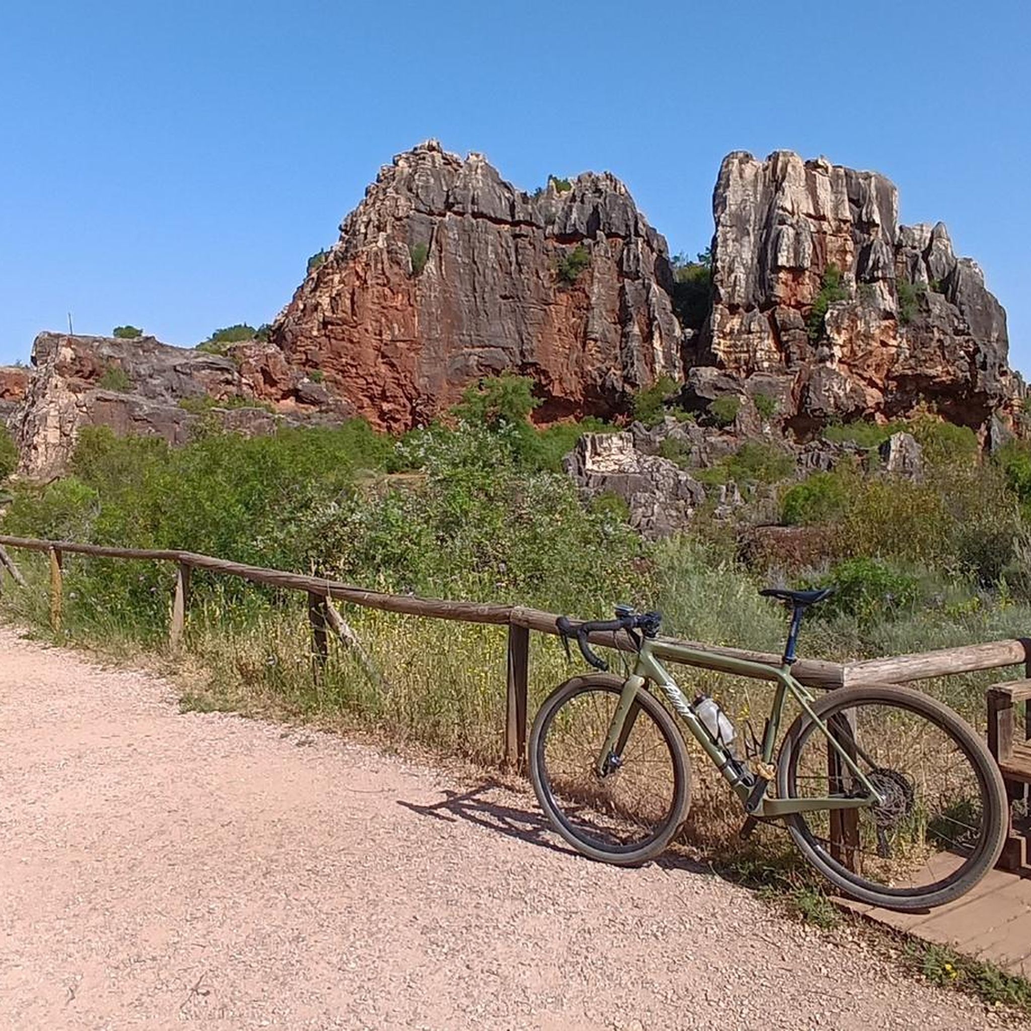
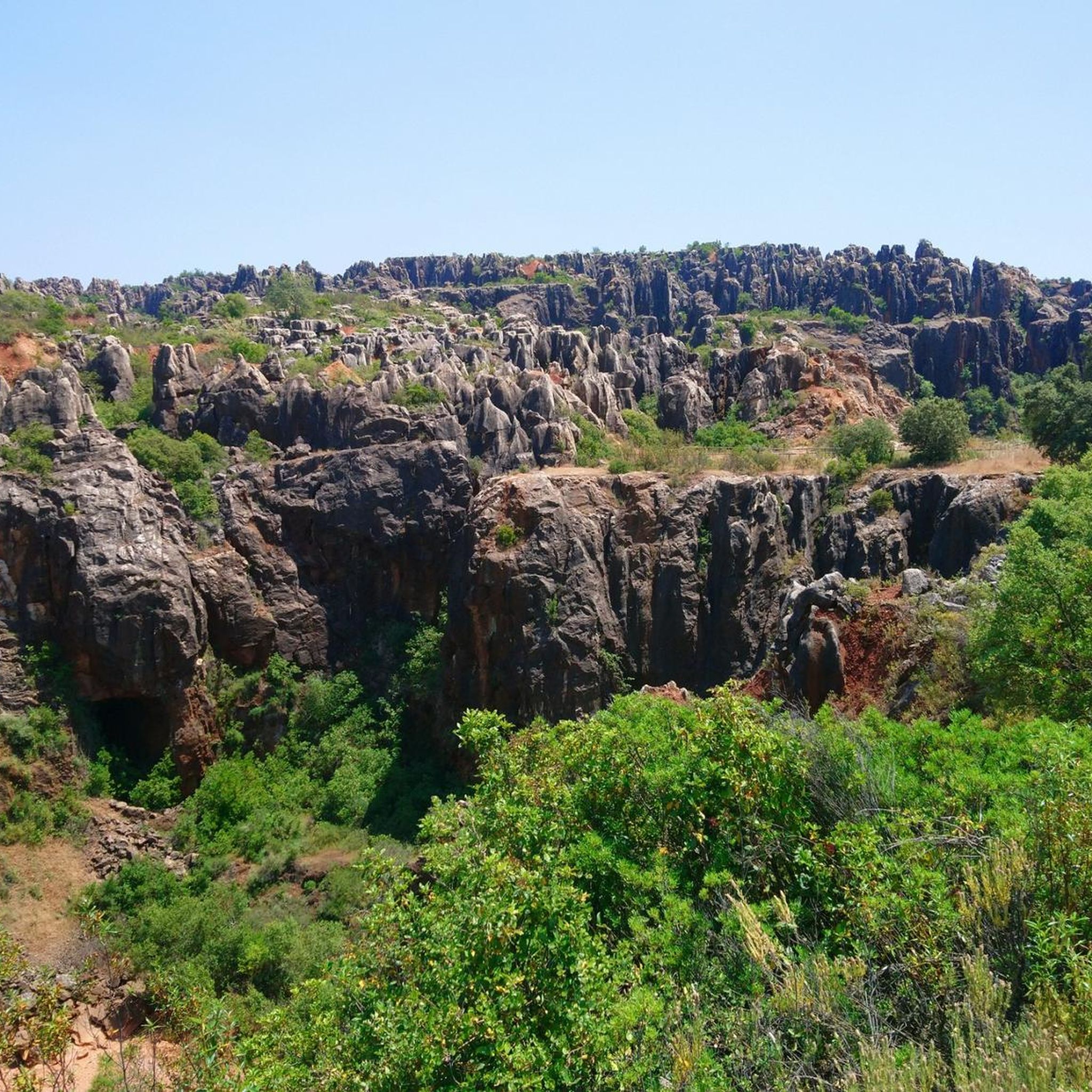
Tips from the Community

Villaviciosa de Córdoba is a Spanish municipality in the province of Córdoba, Andalusia. In 2016 it had 3,374 inhabitants. Its surface area is 468.75 km² and it has a density of 7.2 inhabitants/km².
0
0
Villanueva del Rey is a Spanish municipality in the province of Córdoba, Andalusia. In 2016 it had 1,088 inhabitants. Its surface area is 214 km² and it has a density of 5.7 inhabitants/km². It is located in the Guadiato Valley region, at an altitude of 555 meters.
0
0
Fuente Obejuna is a municipality and Spanish town in the province of Córdoba, in Andalusia. The Roman villa of Mellaria was located about 8 km from the urban center. It is famous for the historical events of the 15th century that inspired the play Fuenteovejuna written by Lope de Vega.
0
0
Cañada del Gamo is a village that belongs to the municipality of Fuente Obejuna, 6.7 km from the municipality. It is located in the north of the province of Córdoba, Spain. It is located approximately 100 km from the capital, Córdoba, and is an ideal place to rest, away from the hustle and bustle of urban areas.
0
0
Ojuelos Bajos is a Spanish town in the municipality of Fuente Obejuna, belonging to the province of Córdoba, in the autonomous community of Andalusia.
0
0
Ojuelos Altos is a Spanish town in the municipality of Fuente Obejuna, belonging to the province of Córdoba, in the autonomous community of Andalusia.
0
0

This is one of the stage destinations where pilgrims on the Camino Mozarabe can find accommodation for the night.
0
0

Baroque church of the eighteenth century. Opposite is a cozy square, where you can enjoy the terrace of a small bar.
2
0
Frequently Asked Questions
How many road cycling routes are available in Alto Guadiato?
Alto Guadiato offers a diverse selection of over 20 road cycling routes. These routes cater to various skill levels, ranging from easy rides to more challenging ascents through the region's varied terrain.
What kind of terrain can I expect on road cycling routes in Alto Guadiato?
You can expect a landscape of great contrasts. Routes traverse mountains, pastures, and extensive oak, cork oak, and gall oak forests. The Guadiato River valley and its reservoirs, like Sierra Boyera, are prominent features, offering scenic views and varied environments. You'll encounter both flat sections and significant elevation changes, particularly in the Sierra Morena foothills.
What are the difficulty levels of road cycling routes in Alto Guadiato?
The routes in Alto Guadiato are well-distributed across difficulty levels. There are 2 easy routes, 14 moderate routes, and 4 difficult routes, ensuring options for beginners and experienced cyclists alike. The komoot community rates the routes highly, with an average score of 4.8 stars.
What natural landscapes will I see while road cycling in Alto Guadiato?
Road cycling in Alto Guadiato offers stunning natural scenery. You'll pass through vast oak forests, alongside the Guadiato River, and around picturesque reservoirs such as Sierra Boyera. The region is also a Special Protection Area for Birds (ZEPA), so you might spot unique steppe bird species. For expansive vistas, routes near the conical Peñón de Peñarroya provide natural viewpoints.
Are there any historical or cultural points of interest along the road cycling routes?
Yes, Alto Guadiato has a rich history. You can explore areas with a strong mining tradition and numerous archaeological sites. The impressive Castle of Belmez, an important defensive structure from the Reconquista era, is a notable landmark. Additionally, the region's largest industrial enclosure in the Guadiato Valley adds a unique historical dimension to your ride.
Is there a well-known long-distance cycling path in the region?
Absolutely. A significant draw for road cyclists is the Vía Verde del Aceite (Olive Oil Greenway). This old railway line has been transformed into a 128-kilometer cycling route connecting the provinces of Córdoba and Jaén, featuring wide, accessible roads, tunnels, and viaducts through olive groves and the unique landscapes of the Sierras Subbéticas Natural Park.
Are there family-friendly road cycling routes in Alto Guadiato?
While many routes involve varied terrain, the region does offer easier sections suitable for families. The Vía Verde del Aceite, with its accessible and wide paths, is an excellent option for family outings. For specific routes, look for those designated as 'easy' in the komoot guide, which typically have less elevation gain and shorter distances.
What is the best time of year for road cycling in Alto Guadiato?
The spring and autumn months generally offer the most pleasant conditions for road cycling in Alto Guadiato, with milder temperatures. Summers can be quite hot, especially in July and August, making early morning or late afternoon rides preferable. Winters are typically mild, but it's always advisable to check the local weather forecast before heading out.
Are there any loop road cycling routes in Alto Guadiato?
Yes, many of the road cycling routes in Alto Guadiato are designed as loops, allowing you to start and finish in the same location. Examples include the popular Belalcázar – Hinojosa del Duque loop from La Granjuela and the Fuente Obejuna – Fuente Obejuna Town Center loop from Fuente Obejuna. These circular routes are convenient for exploration.
Where can I find routes that offer scenic viewpoints?
For routes with scenic viewpoints, consider those that traverse higher elevations or circle the reservoirs. The area around the Sierra Boyera Reservoir offers diverse environments and views. Additionally, any route that brings you close to the Peñón de Peñarroya will provide expansive vistas of the surrounding urban areas and pastoral lands.
What are the options for parking when road cycling in Alto Guadiato?
Parking is generally available in the towns and villages that serve as starting points for many routes, such as Fuente Obejuna or La Granjuela. Many routes begin from town centers, where public parking facilities can be found. It's always a good idea to check specific starting points for designated parking areas.
Can I use public transport with my bike in Alto Guadiato?
Public transport options in Alto Guadiato are primarily bus services connecting the various towns. Policies regarding bikes on public transport can vary, so it's recommended to check with the specific bus operator in advance. For longer distances, private transfer services might be an alternative if you need to transport your bike.
Are there places to eat or stay that are cyclist-friendly?
Many towns and villages in Alto Guadiato, such as Fuente Obejuna, offer local cafes, bars, and restaurants where cyclists can refuel. Accommodation options, including guesthouses and rural hotels, are available throughout the region. While not all may be explicitly 'cyclist-friendly' with dedicated bike storage, many are accustomed to outdoor enthusiasts.

Get inspired with the komoot mobile app


Explore more
Browse the best Road cycling routes in other regions.
