The best walks and hikes in Alto Guadalquivir
4.3
(10)
57
hikers
4
hikes
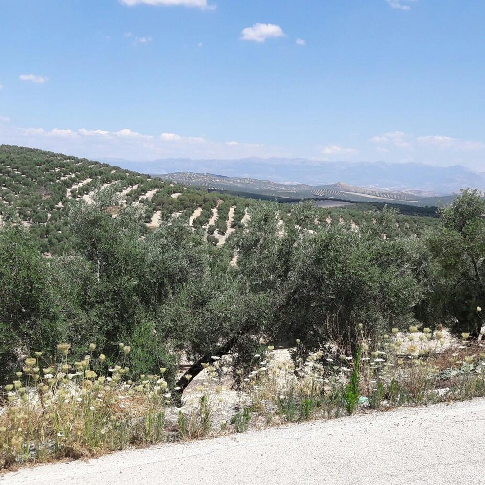
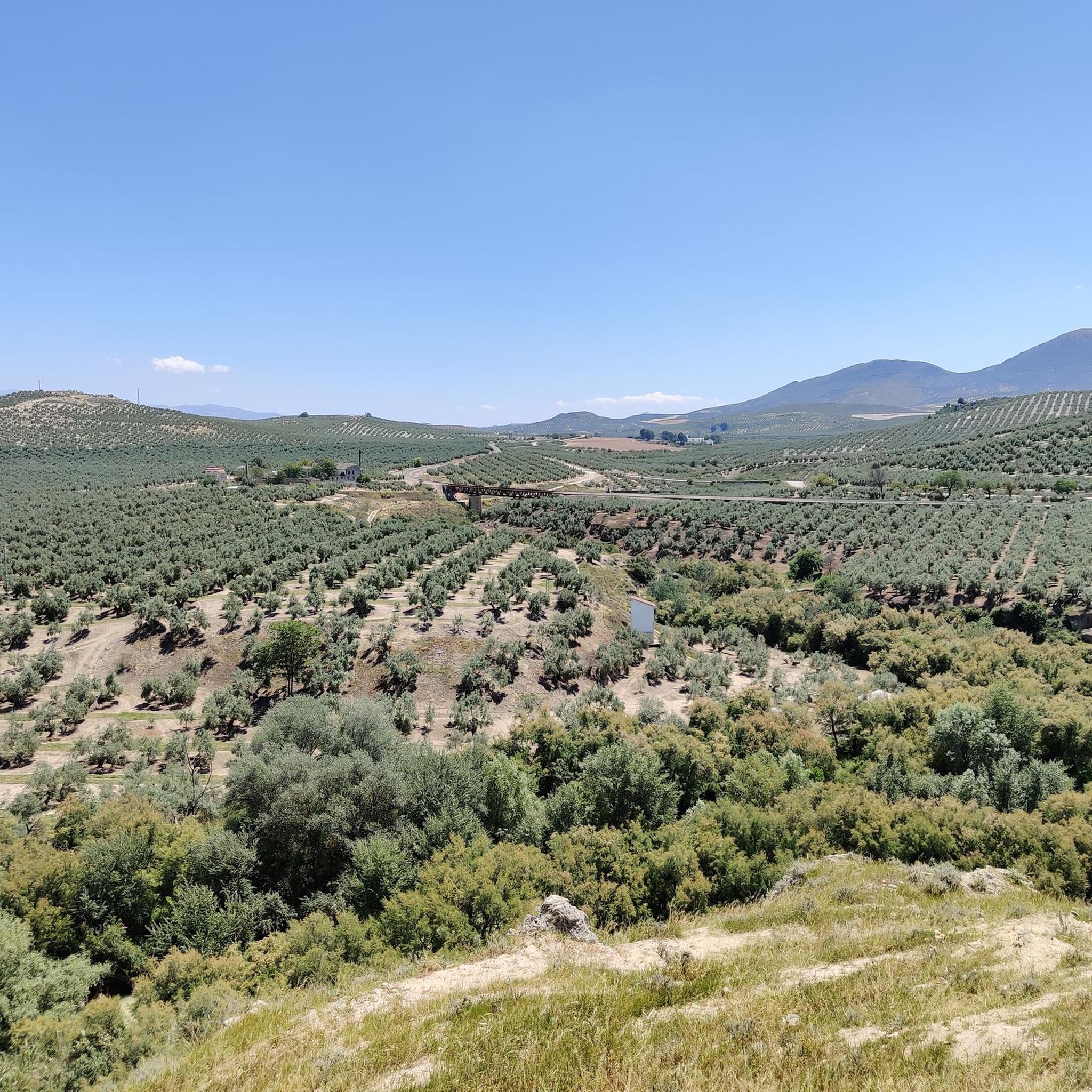
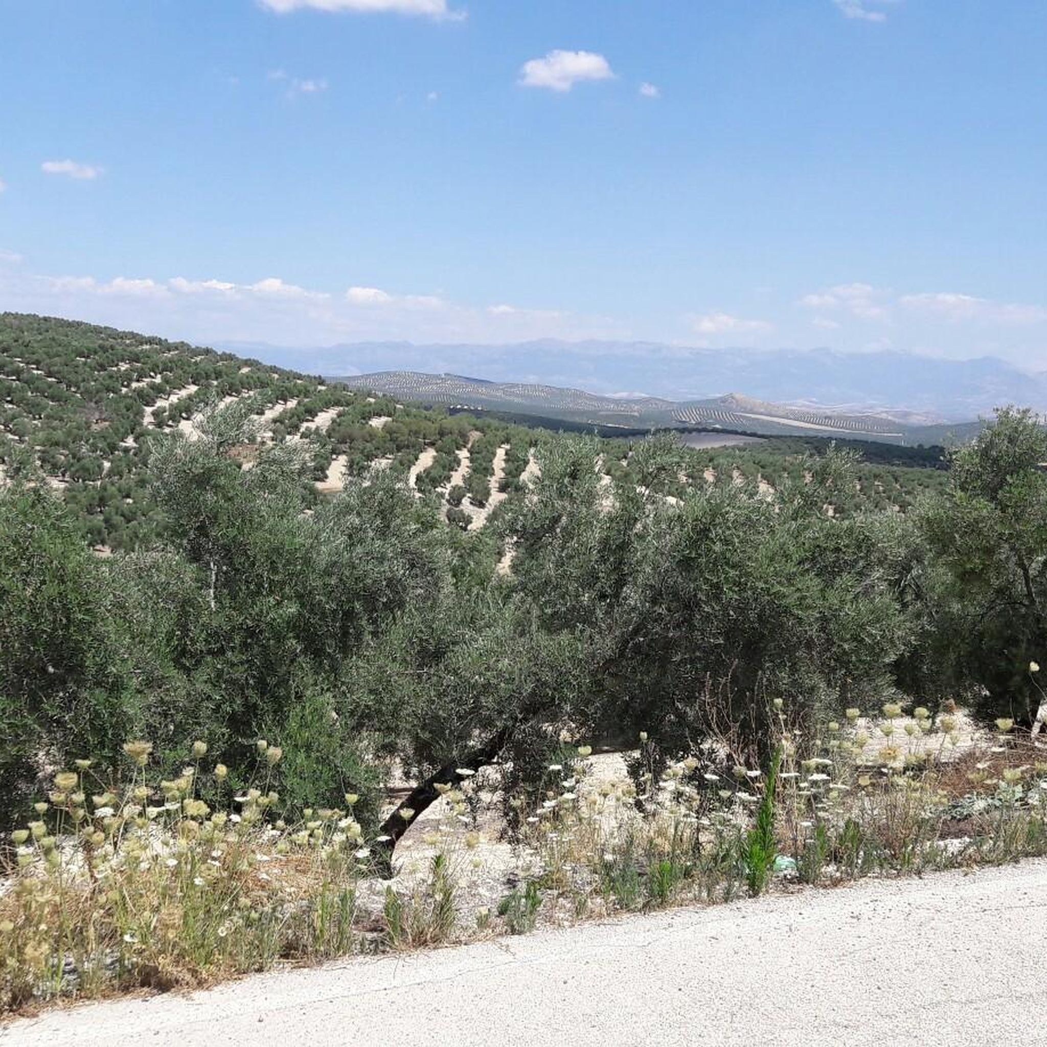
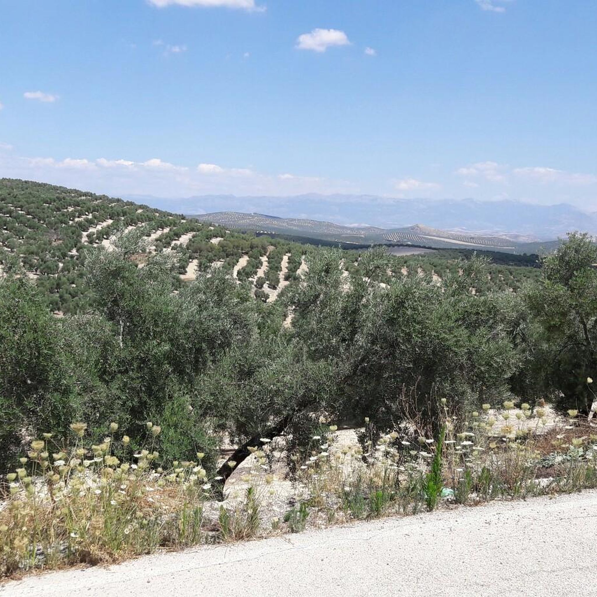
Hiking in Alto Guadalquivir offers routes through the region's varied landscape, characterized by the Guadalquivir river valley, extensive olive groves, and rolling hills. The area is part of a natural park, providing a mix of agricultural scenery and natural environments. Trails often feature historical points of interest and views over the surrounding countryside.
Best hiking trails in Alto Guadalquivir
- The most popular hiking route is Hotel Al Ándalus – Ermita de San Marcos loop from Peal de Becerro, a…
Last updated: July 2, 2026
4
hikers
12.8km
03:26
150m
150m
Moderate hike. Good fitness required. Easily-accessible paths. Suitable for all skill levels.
2
hikers
Easy hike. Great for any fitness level. Easily-accessible paths. Suitable for all skill levels.

Sign up for free
2
hikers
3.54km
01:00
80m
80m
Easy hike. Great for any fitness level. Easily-accessible paths. Suitable for all skill levels.
4.0
(2)
9
hikers
13.0km
03:44
310m
310m
Moderate hike. Good fitness required. Easily-accessible paths. Suitable for all skill levels.
4.0
(2)
9
hikers
11.1km
03:08
240m
240m
Moderate hike. Good fitness required. Easily-accessible paths. Suitable for all skill levels.
Our route recommendations are based on thousands of hikes, rides, and runs completed by other people on komoot.
Start today with a free account
Your next adventure awaits.
Login or Signup

Tips from the Community

Nice viewpoint. You cannot go up to the top of the tower (door closed)
0
0
Very pretty! Be prepared to get your feet wet to discover the waterfall, the different "chambers" are well worth it!
0
0

The trail leading to the Hermitage of Our Lady of Cuadros, also known as the Vineyard Trail, is located in the Sierra Mágina Natural Park. It is well signposted and passes through a wide variety of landscapes.
5
0
The Cuadros oleander trail in Bedmar and Garcíez includes a short tunnel, approximately 10 meters long, which is part of the route. This tunnel runs parallel to a irrigation ditch and connects to the access slope to the Cuadros Sanctuary.
5
0
The Torreón de Cuadros is a cylindrical tower located in Bedmar y Garcíeza. This tower has a diameter of 6.37 meters and a height of 12 meters, with walls 1.6 meters thick. It was built on an earlier structure, possibly of Moorish origin, and is mentioned in a document by Alfonso X from 1260.
5
0
The Cueva del Agua in Bedmar y Garcíez is a fascinating place located in the Sierra Mágina Natural Park. This cave is known for its impressive geological formations created by the passage of water over time.
5
0
The Hermitage of Nuestra Señora de Cuadros is located in Bedmar y Garcíez, in the province of Jaén. This sanctuary has a rich history dating back to 1615, when it was established to honor the Virgen de Cuadros. The interior of the hermitage has a rectangular floor plan and features a single nave covered by a false barrel vault made of plaster, adorned with geometric and floral motifs.
4
0

Nice hotel in Peal de Beccero. We stayed there on our long-distance hike from Tarifa to Switzerland and can highly recommend the hotel.
5
0
Frequently Asked Questions
How many hiking trails are available in Alto Guadalquivir?
Alto Guadalquivir offers a selection of hiking trails, with over 4 routes currently available on komoot. These routes cater to various preferences, from easy strolls to more moderate excursions through the region's distinctive landscapes.
Are there easy hiking trails in Alto Guadalquivir?
Yes, Alto Guadalquivir has several easy hiking trails. For instance, the Hotel Al Ándalus loop from Peal de Becerro is an easy 2.2-mile (3.5 km) path, perfect for a relaxed walk. Another accessible option is the Hotel Al Ándalus – Torre Mocha of Peal de Becerro loop from Peal de Becerro, which is 3.8 miles (6.1 km) long and features views of the historic Torre Mocha.
Can I find circular hiking routes in Alto Guadalquivir?
Yes, many of the trails in Alto Guadalquivir are designed as circular routes, allowing you to start and end at the same point. An example is the Ermita de Cuadros - circular from Bedmar, a moderate 8.1-mile (13 km) loop offering a comprehensive experience of the local scenery.
When is the best time of year to go hiking in Alto Guadalquivir?
The best time for hiking in Alto Guadalquivir is typically during the spring (March to May) and autumn (September to November). During these seasons, the weather is milder and more pleasant, avoiding the intense heat of summer and the cooler, sometimes wetter, conditions of winter. Spring brings blooming wildflowers, while autumn offers beautiful colors in the landscape.
What should I wear for hiking in Alto Guadalquivir during summer?
For summer hiking in Alto Guadalquivir, lightweight, breathable clothing is essential due to the high temperatures. Opt for moisture-wicking fabrics, a wide-brimmed hat, sunglasses, and plenty of sunscreen. Always carry ample water, as shade can be limited in some areas, particularly across the olive groves.
Are there any notable viewpoints or attractions along the hiking trails?
Yes, hiking trails in Alto Guadalquivir often incorporate historical and natural points of interest. For example, the Hotel Al Ándalus – Ermita de San Marcos loop from Peal de Becerro passes by a local hermitage, offering cultural insight. Other routes might feature views of historic structures like the Torre Mocha or scenic vistas over the Guadalquivir river valley and extensive olive groves.
Are dogs allowed on hiking trails in Alto Guadalquivir?
Generally, dogs are welcome on many hiking trails in Alto Guadalquivir, especially in rural and natural park areas. However, it's always advisable to keep them on a leash, particularly when passing through agricultural land or near livestock, and to check for any specific local regulations or protected areas where restrictions might apply. Always carry water for your dog and clean up after them.
Are there family-friendly hiking options in Alto Guadalquivir?
Yes, Alto Guadalquivir offers routes suitable for families. The easier, shorter loops, such as the Hotel Al Ándalus loop from Peal de Becerro, are ideal for families with children, providing manageable distances and less challenging terrain. These trails allow for an enjoyable outdoor experience for all ages.
What do other hikers say about the trails in Alto Guadalquivir?
The trails in Alto Guadalquivir are highly rated by the komoot community, with an average score of 4.3 stars from around 7 reviews. Hikers often praise the region's unique blend of river valleys, extensive olive groves, and historical landmarks, providing a diverse and engaging hiking experience.
What are the typical distances of hiking trails in Alto Guadalquivir?
Hiking trails in Alto Guadalquivir vary in length to suit different preferences. You can find shorter routes, like the Hotel Al Ándalus loop from Peal de Becerro at 2.2 miles (3.5 km), up to longer, more moderate trails such as the Hotel Al Ándalus – Ermita de San Marcos loop from Peal de Becerro, which spans 7.9 miles (12.8 km).
Is it possible to reach hiking trails in Alto Guadalquivir by public transport?
While some larger towns in Alto Guadalquivir may have bus connections, many trailheads are located in more rural areas, making direct public transport access challenging for all routes. It's often recommended to use a car to reach the starting points of most hiking trails in the region, especially for flexibility and convenience.
Where can I find parking for hiking trails in Alto Guadalquivir?
Parking availability for hiking trails in Alto Guadalquivir typically varies by trailhead. For routes starting near villages or specific attractions, you can often find designated parking areas or roadside parking. For more remote trails, parking might be less formal, often along access roads. It's advisable to check the specific route details on komoot for information on recommended starting points and parking options.
Most popular routes in Alto Guadalquivir

Get inspired with the komoot mobile app


Explore more
Browse the best Hikes in other regions.
