The best road cycling routes around Pfarrkirchen im Mühlkreis
4.5
(125)
2,504
riders
176
rides
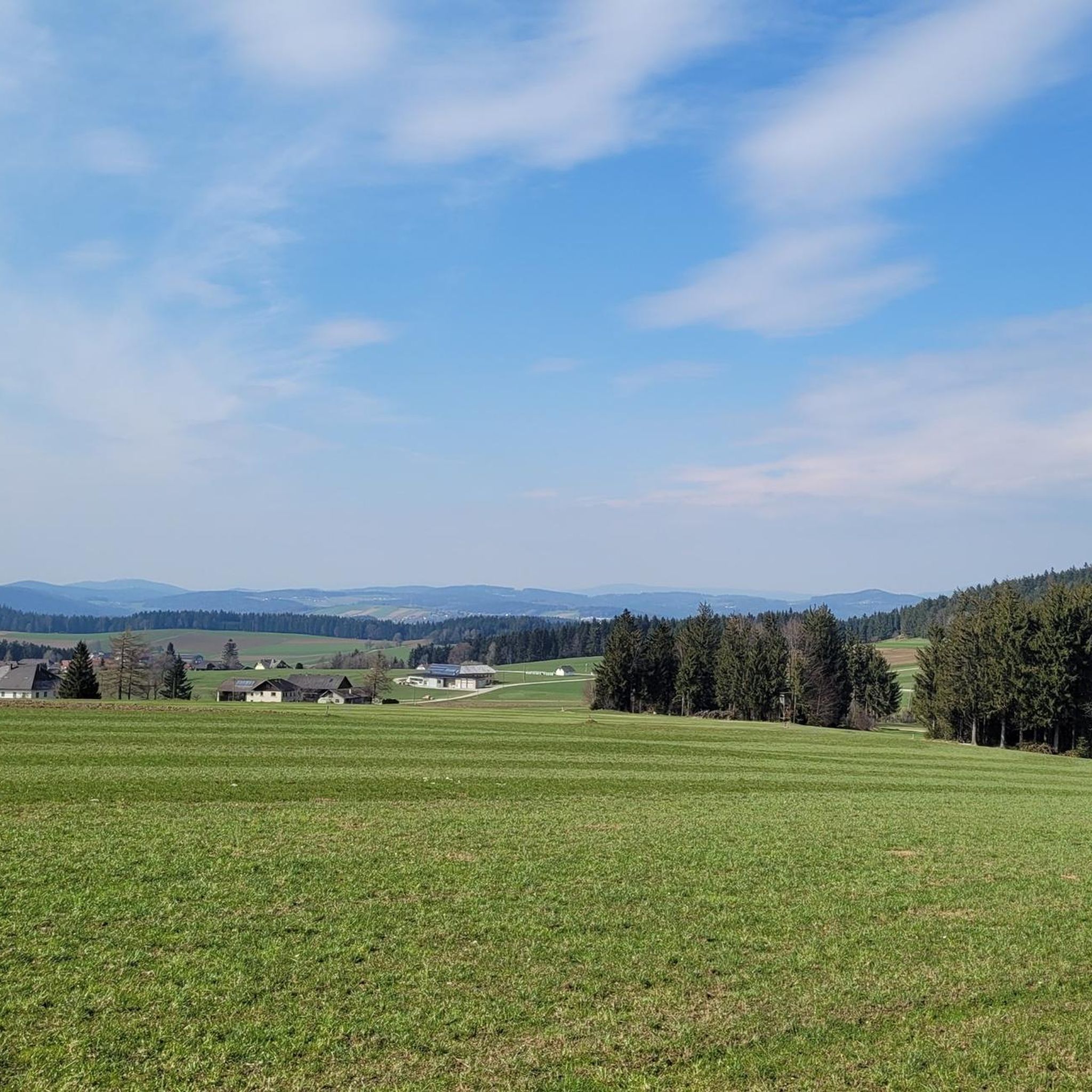
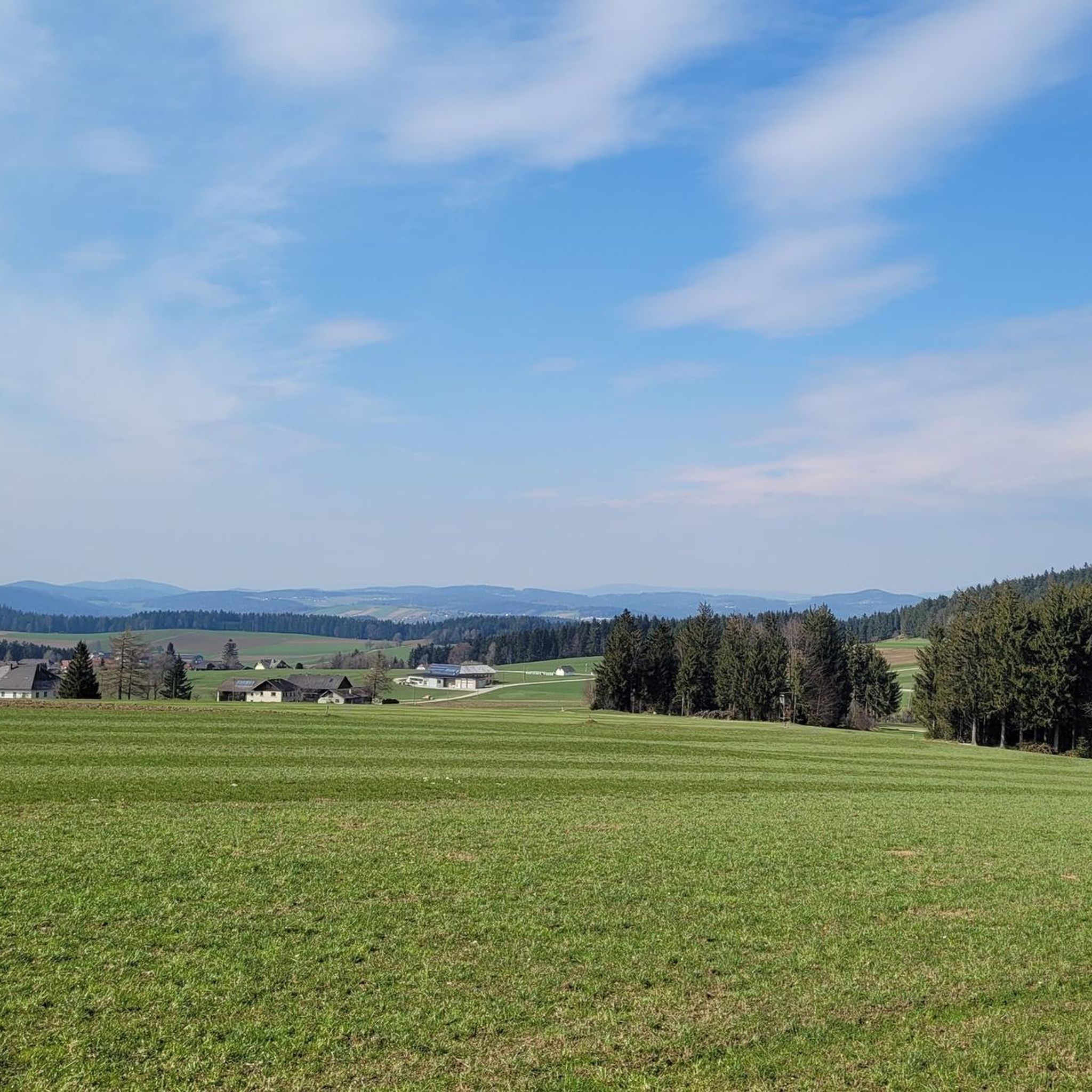
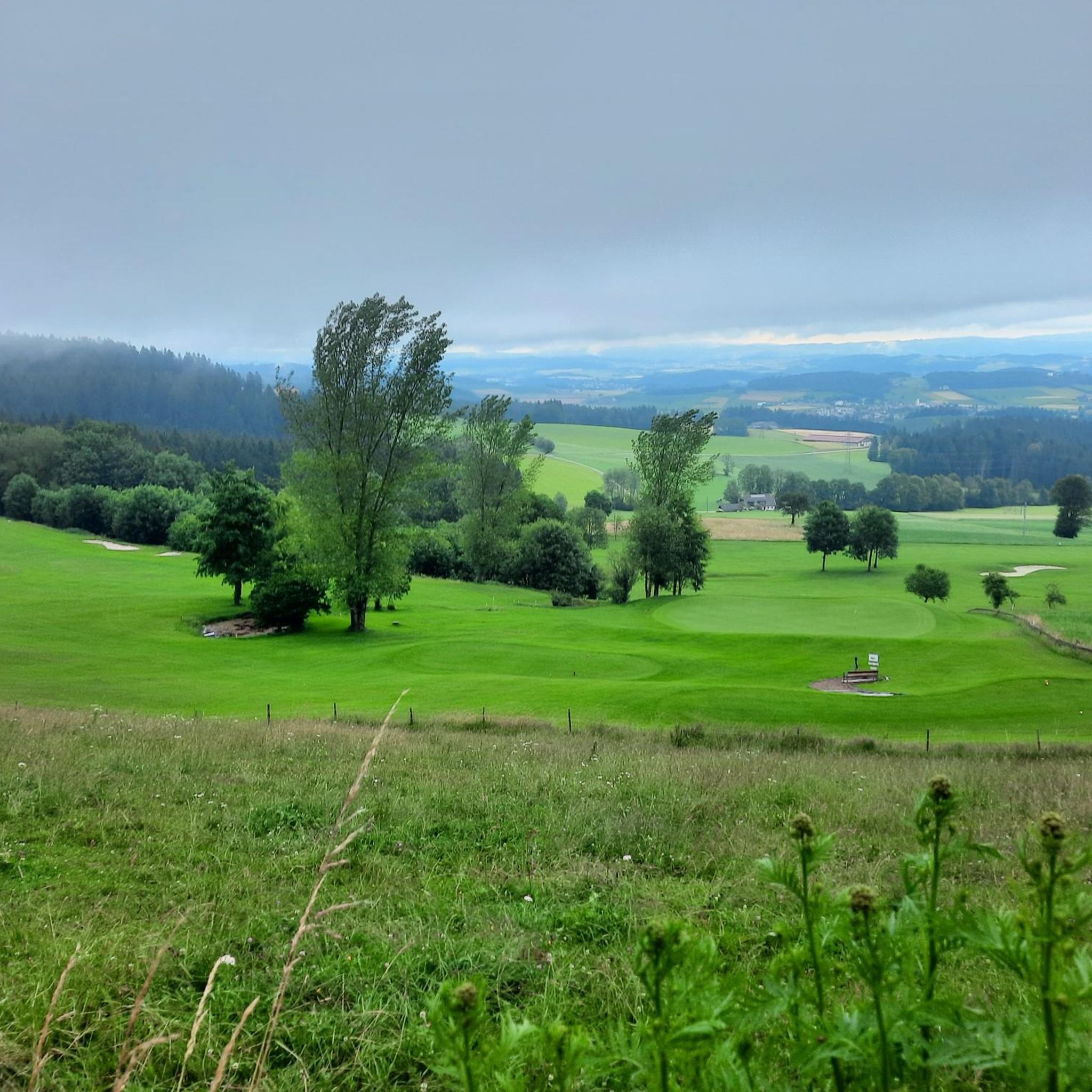
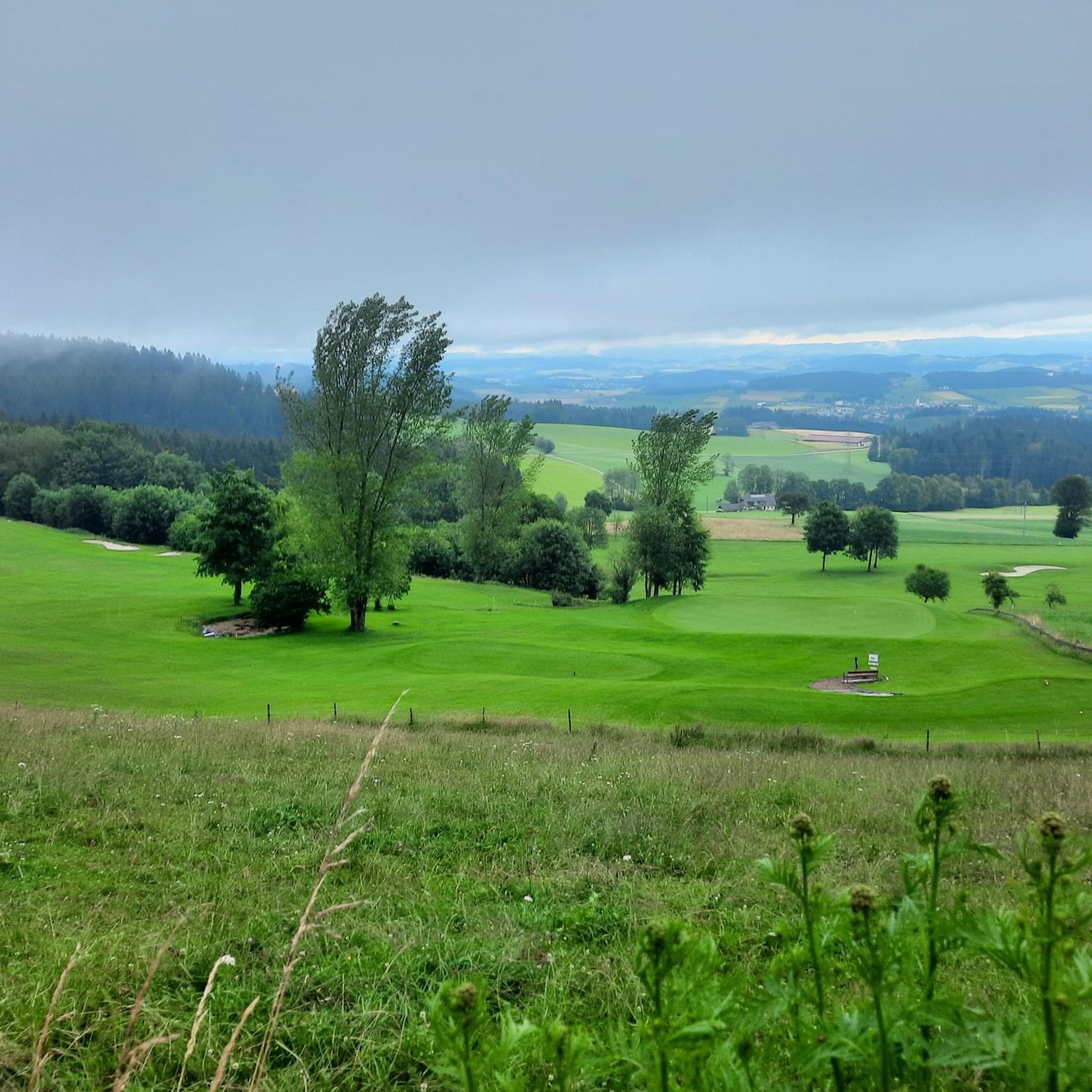
Road cycling routes around Pfarrkirchen im Mühlkreis traverse a diverse, hilly tertiary landscape characterized by rolling hills and valleys carved by brooks. The region features scattered forests covering over 40% of its surface, alongside extensive agricultural lands. Situated at approximately 800 meters elevation, the area offers panoramic views over the Mühlviertel and towards the northern Alps on clear days. Key waterways like the Rott, Inn, and Danube rivers are integrated into the cycling network, providing varied terrain for road cyclists.
…Last updated: July 12, 2026
4.6
(7)
70
riders
Moderate road ride. Good fitness required. Some segments of this route may be unpaved and difficult to ride.
5.0
(3)
20
riders
63.7km
03:17
1,080m
1,080m
Hard road ride. Very good fitness required. Mostly well-paved surfaces and easy to ride.

Sign up for free
16
riders
58.1km
02:52
820m
820m
Moderate road ride. Good fitness required. Some segments of this route may be unpaved and difficult to ride.
5.0
(1)
22
riders
Moderate road ride. Great for any fitness level. Some segments of this route may be unpaved and difficult to ride.
5.0
(2)
13
riders
35.5km
01:42
470m
470m
Moderate road ride. Good fitness required. Some segments of this route may be unpaved and difficult to ride.
Get access to more routes and recommendations from other explorers.
Sign up for free
Already have an account?
Our route recommendations are based on thousands of hikes, rides, and runs completed by other people on komoot.
Start today with a free account
Your next adventure awaits.
Login or Signup
Popular around Pfarrkirchen im Mühlkreis


Tips from the Community


This old linden avenue by the castle is very handsome, but today it houses a florist who will surely fulfill every wish.
0
0

The ferry operates between Kasten in Austria and Obernzell in Germany across the Danube and also carries bicycles. It's a popular part of the Danube Cycle Path and is ideal for cycling tours along the border. The crossing is short but very scenic: it offers beautiful views of the Danube and connects two attractive cycling routes. Cyclists should arrive at the landing a few minutes before departure – boarding is straightforward, and the crossing is a memorable moment on any cycling tour along the Danube.
1
0

The trip costs 3 euros per person (including bicycle)
4
0
Caution cyclists! There are 90 steps to climb. Not feasible for everyone with the heavy e-bikes.
5
0
Caution cyclists! There are 90 steps to climb. Not feasible for everyone with the heavy e-bikes.
4
0

Frequently Asked Questions
How many road cycling routes are available in Pfarrkirchen im Mühlkreis?
Pfarrkirchen im Mühlkreis offers an extensive network for road cyclists, with over 180 routes recorded on komoot. These routes cater to various preferences, ranging from easy to difficult.
What kind of terrain can I expect when road cycling in Pfarrkirchen im Mühlkreis?
The region is characterized by a diverse, hilly tertiary landscape with rolling hills and valleys carved by brooks. You'll encounter scattered forests, extensive agricultural lands, and panoramic views over the Mühlviertel, sometimes extending to the northern Alps. Key waterways like the Rott, Inn, and Danube rivers are integrated into the cycling network, providing varied terrain.
Are there road cycling routes for all fitness levels in Pfarrkirchen im Mühlkreis?
Yes, the routes in Pfarrkirchen im Mühlkreis cater to all abilities. While the majority (113) are moderate, there are also 8 easy routes perfect for a relaxed ride, and 59 difficult routes for experienced cyclists seeking significant elevation gains and challenges.
What natural attractions can I see along road cycling routes in Pfarrkirchen im Mühlkreis?
Many routes will take you through picturesque river valleys like the Rottal, Inn, Danube, and Rannatal. You can also cycle past beautiful lakes such as Rottauensee and Rannastausee. Notable natural highlights include the Deep Danube Valley, the Ranna Valley, and the Donauleiten Nature Reserve.
Are there any historical or cultural landmarks to explore while road cycling?
Absolutely. The region is rich in cultural and historical sites. You can pass by charming historic towns and visit landmarks such as the Pfarrkirchen Town Hall, the Church of St. Simon and Judas Thaddäus, and the Wallfahrtskirche Gartlberg. Several routes also lead past impressive castles, including Obernzell Castle, Vichtenstein Castle, and Marsbach Castle.
What do other road cyclists enjoy the most about road cycling in Pfarrkirchen im Mühlkreis?
The area is highly rated by the komoot community, with an average score of 4.5 stars from over 231 reviews. Cyclists often praise the diverse, hilly terrain, the stunning panoramic views, and the well-maintained network of routes that cater to various skill levels.
Are there any long-distance road cycling routes connecting to other towns?
Yes, Pfarrkirchen im Mühlkreis is well-connected. You can embark on longer journeys towards destinations like Linz, Passau, or Enns. The monumental 530 km Inn Cycle Path, which connects Switzerland, Austria, and Germany, also passes through the region, offering extensive long-distance options.
Are there circular road cycling routes available in the area?
Many of the routes around Pfarrkirchen im Mühlkreis are designed as loops, allowing you to start and end in the same location. Examples include the Obernzell on the Danube – View of Engelhartszell loop from Hofkirchen im Mühlkreis and the View of Engelhartszell – Danube Cycle Path loop from Niederranna.
What is the best time of year for road cycling in Pfarrkirchen im Mühlkreis?
The region is generally excellent for road cycling from spring through autumn. The mild temperatures and vibrant landscapes during these seasons provide ideal conditions for exploring the diverse terrain and enjoying the panoramic views.
Can I find family-friendly road cycling routes in Pfarrkirchen im Mühlkreis?
While many road cycling routes involve hills, there are options suitable for families, especially those with older children or good fitness. The Rottal Cycle Path, for instance, is known for being family-friendly, tracing the charming Rott river valley. Look for routes designated as 'easy' or 'moderate' for more relaxed rides.
Are there road cycling routes that offer scenic viewpoints?
Absolutely. Situated at an elevation of approximately 800 meters, Pfarrkirchen boasts breathtaking panoramic views over the Mühlviertel. Routes often lead to dedicated 'Panoramablick' platforms or offer vistas extending over 300 kilometers, reaching as far as the northern Alps on clear days. The route Obernzell on the Danube – View of Engelhartszell loop from Hofkirchen im Mühlkreis is one such example.
Where can I find parking for road cycling routes in Pfarrkirchen im Mühlkreis?
Parking availability varies by starting point. Many routes begin in or near towns and villages where public parking is often available. For specific routes, it's advisable to check the route details on komoot, as users often share information about convenient parking spots near the trailhead.
Most popular routes around Pfarrkirchen im Mühlkreis
Most popular attractions around Pfarrkirchen im Mühlkreis

Get inspired with the komoot mobile app


Explore more
Browse the best Road cycling routes in other regions.
