The best running trails in Sierras Almagrera, De Los Pinos Y El Aguilón
4.5
(43)
2,494
runners
93
runs
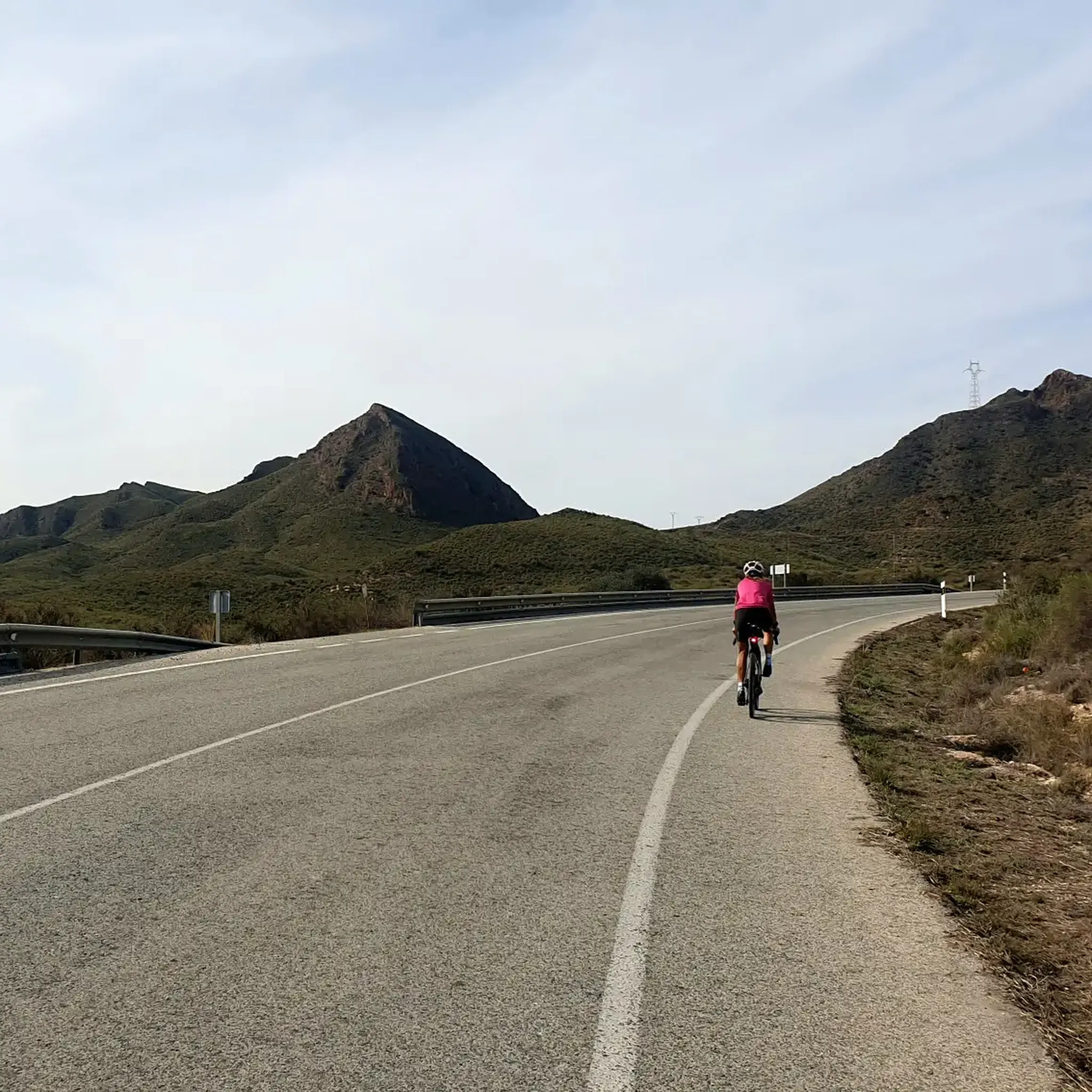
Jogging in Sierras Almagrera, De Los Pinos Y El Aguilón offers diverse terrain along the Mediterranean coast of Almería, Spain. The region features mountains of medium and small altitude, with elevated slopes and abrupt profiles, particularly around Sierras de los Pinos and El Aguilón. Sierra Almagrera meets the sea, creating coastal cliffs and secluded coves. The landscape includes well-preserved pine forests, especially Aleppo pine, and offers panoramic views from higher elevations.
Best jogging routes in Sierras Almagrera, De Los Pinos Y El Aguilón
- The most popular jogging route is View of Playa la Entrevista – San Juan de los Terreros Beach loop from Playa El Calón, a 8.9 miles (14.3 km) trail that takes 1 hour 29 minutes to complete. This route offers coastal views and a moderate elevation gain.
- Another top favourite among local runners is Running loop from Jaravía, a moderate 4.3 miles (6.9 km) path. This route features a varied landscape with some elevation changes.
- Local runners also love the Running loop from Cabezo del Molino, a 3.8 miles (6.1 km) trail leading through coastal and inland areas, often completed in about 39 minutes.
- Jogging in Sierras Almagrera, De Los Pinos Y El Aguilón is defined by coastal paths, elevated slopes, and pine forests. The network offers options for various ability levels, from easy paths to more challenging routes.
- The routes in Sierras Almagrera, De Los Pinos Y El Aguilón are highly rated by the komoot community with an average score of 4.6 stars from over 30 reviews. More than 2,400 runners have used komoot to explore Sierras Almagrera, De Los Pinos Y El Aguilón's varied terrain.
Last updated: July 4, 2026
5.0
(1)
46
runners
Moderate run. Good fitness required. Mostly paved surfaces. Suitable for all skill levels.
23
runners
6.89km
00:44
100m
100m
Moderate run. Good fitness required. Mostly paved surfaces. Suitable for all skill levels.

Sign up for free
16
runners
6.05km
00:39
90m
90m
Moderate run. Good fitness required. Mostly paved surfaces. Suitable for all skill levels.
15
runners
9.80km
01:04
30m
30m
Moderate run. Good fitness required. Mostly accessible paths. Some sure footedness required.
5.0
(1)
15
runners
5.17km
00:32
10m
10m
Moderate run. Good fitness required. Mostly paved surfaces. Suitable for all skill levels.
Get access to more routes and recommendations from other explorers.
Sign up for free
Already have an account?
Our route recommendations are based on thousands of hikes, rides, and runs completed by other people on komoot.
Start today with a free account
Your next adventure awaits.
Login or Signup
Popular around Sierras Almagrera, De Los Pinos Y El Aguilón

Tips from the Community

From here you have a good view of the two main beaches of San Juan de Terreros: Playa Mar Tranquila and Playa Mar Rabiosa.
1
0
San Juan de los Terreros is the last or first coastal town in Andalusia, being right on the border with Murcia. Off its coast are two small islets of volcanic nature that form the Isla de Terreros-Isla Negra Natural Monument.
1
0

Virgin beach with very good views.
0
0
Frequently Asked Questions
How many running routes are available in Sierras Almagrera, De Los Pinos Y El Aguilón?
There are nearly 100 dedicated running routes in Sierras Almagrera, De Los Pinos Y El Aguilón, offering a wide variety of experiences. These include 10 easy routes, 71 moderate routes, and 16 difficult routes, catering to all fitness levels.
What kind of terrain can I expect on the jogging trails in this region?
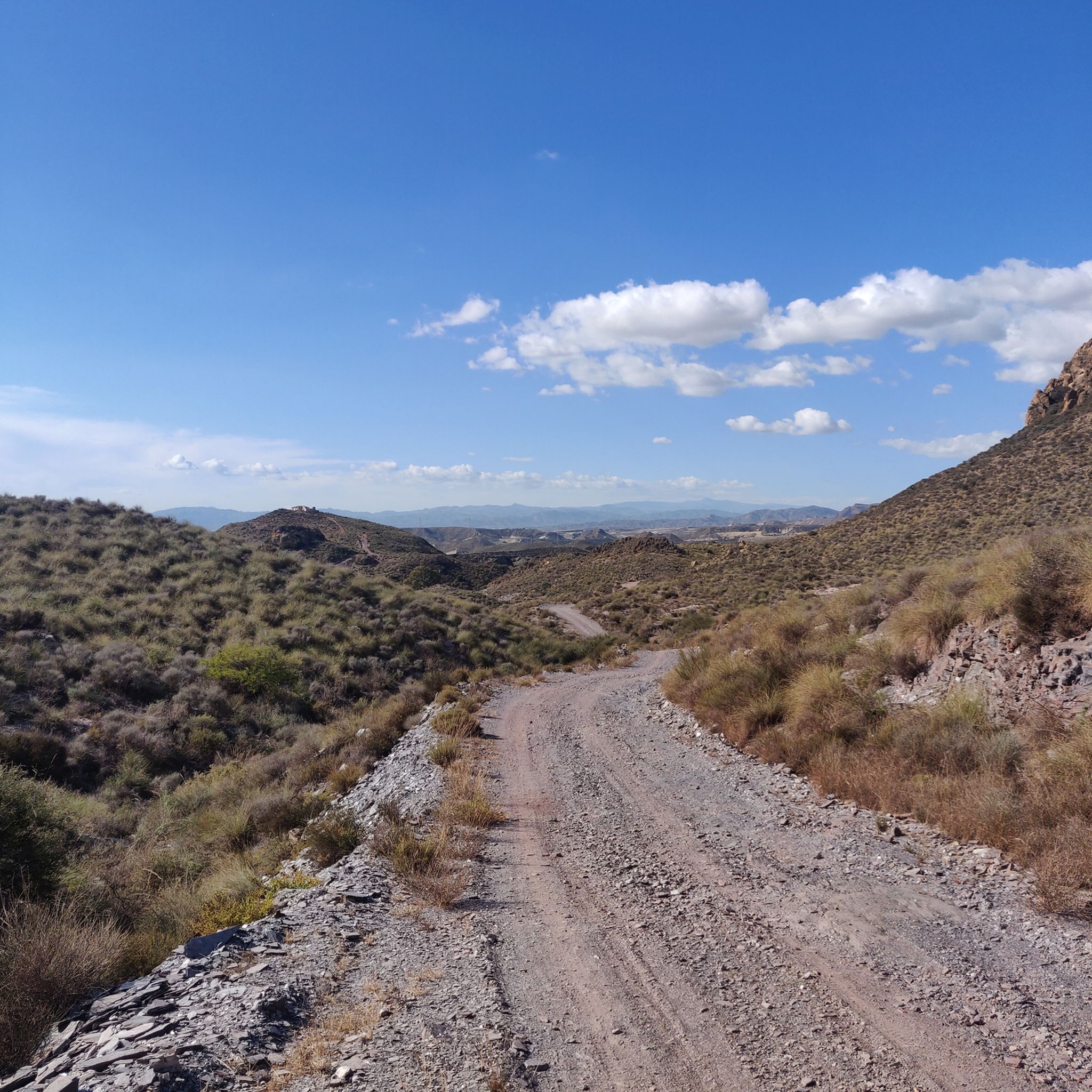
The terrain is incredibly diverse, ranging from coastal paths with stunning sea views and dramatic cliffs to elevated slopes and rugged profiles in the Sierras de los Pinos and El Aguilón. You'll also find routes winding through pine forests, particularly Aleppo pine, and areas with gorse and jujube trees, characteristic of the semi-arid Mediterranean environment.
Are there any easy or family-friendly running routes?
Yes, the region offers several easy routes suitable for light jogging or family outings. For instance, the "Running loop from Cala Panizo" is a moderate 5.2 km path with minimal elevation, perfect for a relaxed run. These trails often provide accessible paths for all skill levels.
What natural features or landmarks can I see while running?
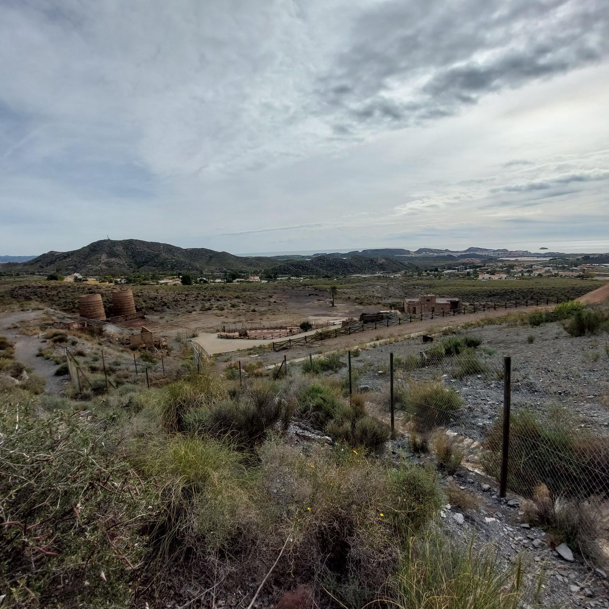
You'll encounter a mix of natural beauty and historical sites. Along the coast, you can enjoy views like "Cala Cristal Views" and the "Scenic Coastal Stretch". Inland, the routes pass through diverse flora, including Aleppo pine forests. The region also features remnants of 19th and 20th-century mining activity, such as "Mina La Luna (Sierra Almagrera)".
Are there any circular running routes in Sierras Almagrera, De Los Pinos Y El Aguilón?
Absolutely. Many of the routes are designed as loops, allowing you to start and finish at the same point. A popular option is the "Running loop from Jaravía", a moderate 6.9 km path that offers varied landscapes and some elevation changes.
Can I bring my dog on the running trails?
While many trails in the region are generally dog-friendly, it's always recommended to check local regulations or signage at specific trailheads. Given the presence of protected wildlife like spur-thighed tortoises and Moorish hedgehogs, keeping dogs on a leash is often a good practice to protect the local fauna.
What is the best time of year to go running in this area?
Due to its semi-arid Mediterranean climate, spring and autumn generally offer the most pleasant conditions for running, with milder temperatures. Summer can be very hot, making early morning or late evening runs preferable. Winter is also a good option, with cooler, often sunny weather, though some higher elevation trails might be chillier.
Is parking available near the running trailheads?
Yes, many trailheads and popular starting points for routes have designated parking areas. For example, routes starting from locations like Playa El Calón or Villaricos typically offer convenient access for vehicles. It's advisable to check specific route details on komoot for parking information.
What do other runners enjoy most about jogging in Sierras Almagrera, De Los Pinos Y El Aguilón?
The area is highly rated by the komoot community, with an average score of 4.6 stars from over 30 reviews. Runners often praise the stunning coastal views, the diverse and challenging terrain, and the opportunity to combine physical activity with exploring historical mining remnants and unique natural landscapes.
Are there any routes that offer significant elevation gain for a more challenging run?
Yes, for those seeking a more intense workout, the elevated slopes and abrupt profiles of Sierras de los Pinos and El Aguilón provide excellent opportunities. While specific routes with very high elevation are not detailed here, the region's mountainous character ensures plenty of options for challenging climbs and descents. The "Running loop from Cabezo del Molino" is a moderate 6.1 km trail with noticeable elevation changes, offering a good challenge.
Are there any coastal running paths with sea views?
Absolutely! The Sierra Almagrera dramatically drops into the sea, creating spectacular cliffs, small beaches, and coves. Many routes, such as the "View of Playa la Entrevista – San Juan de los Terreros Beach loop from Playa El Calón", offer continuous coastal views and the refreshing sea breeze, making for a truly scenic run.
Are there any historical sites or mining ruins I can explore while running?
Yes, the region is rich in history, particularly from its 19th and 20th-century mining activity. You'll find abundant remnants of this past along various trails. While not a specific route mentioned here, the "Ruta de las Fundiciones Trail" in Villaricos is known for combining mining history with beautiful Mediterranean landscapes, offering a cultural dimension to your run.
Most popular routes in Sierras Almagrera, De Los Pinos Y El Aguilón
Most popular attractions in Sierras Almagrera, De Los Pinos Y El Aguilón

Get inspired with the komoot mobile app


Explore more
Browse the best Running Trails & Routes in other regions.
