The best cycling routes in Sierra Mágina
5.0
(13)
452
riders
73
rides
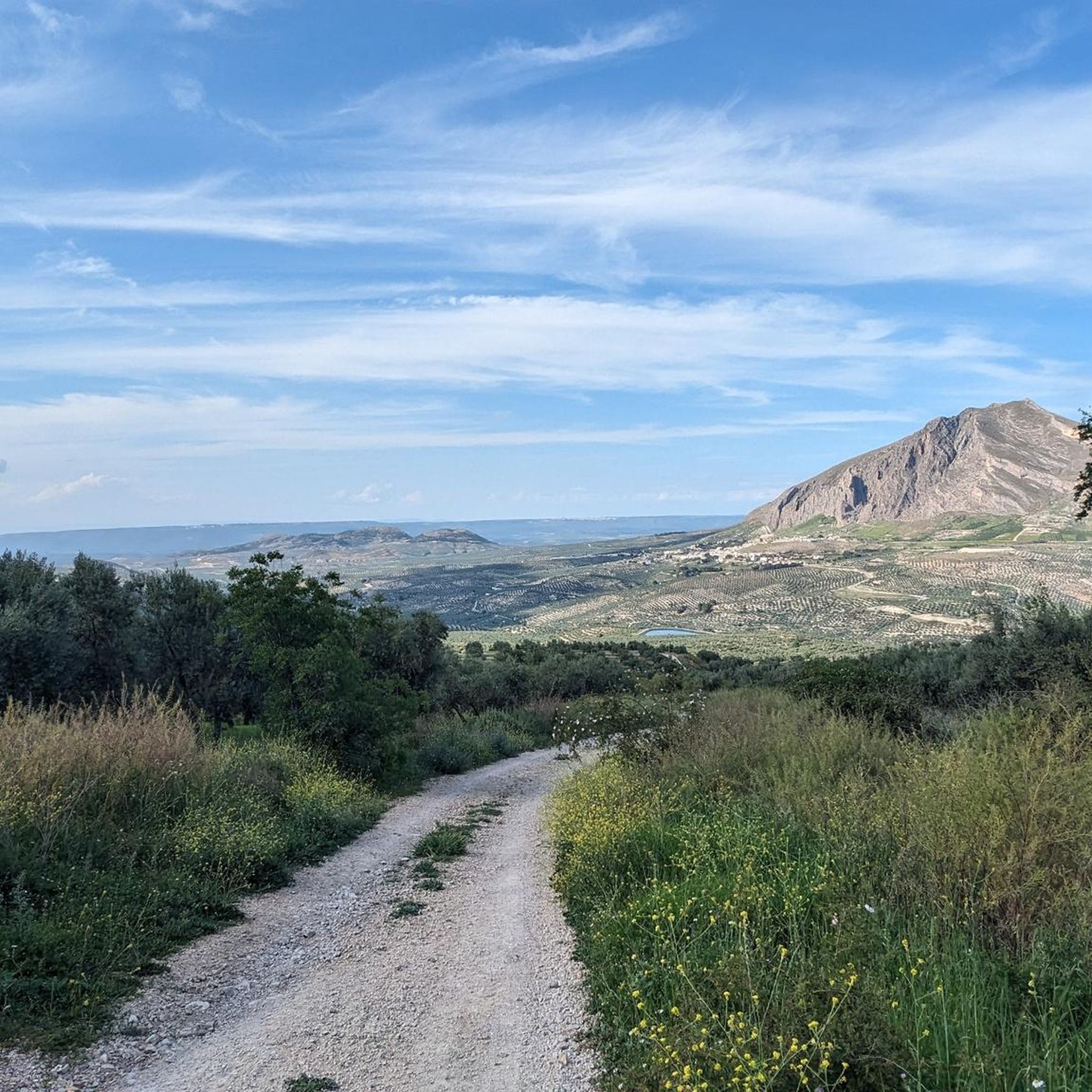
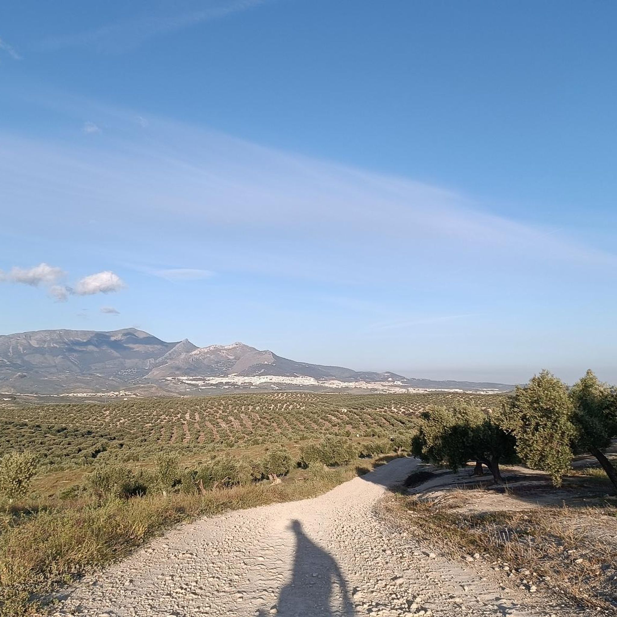
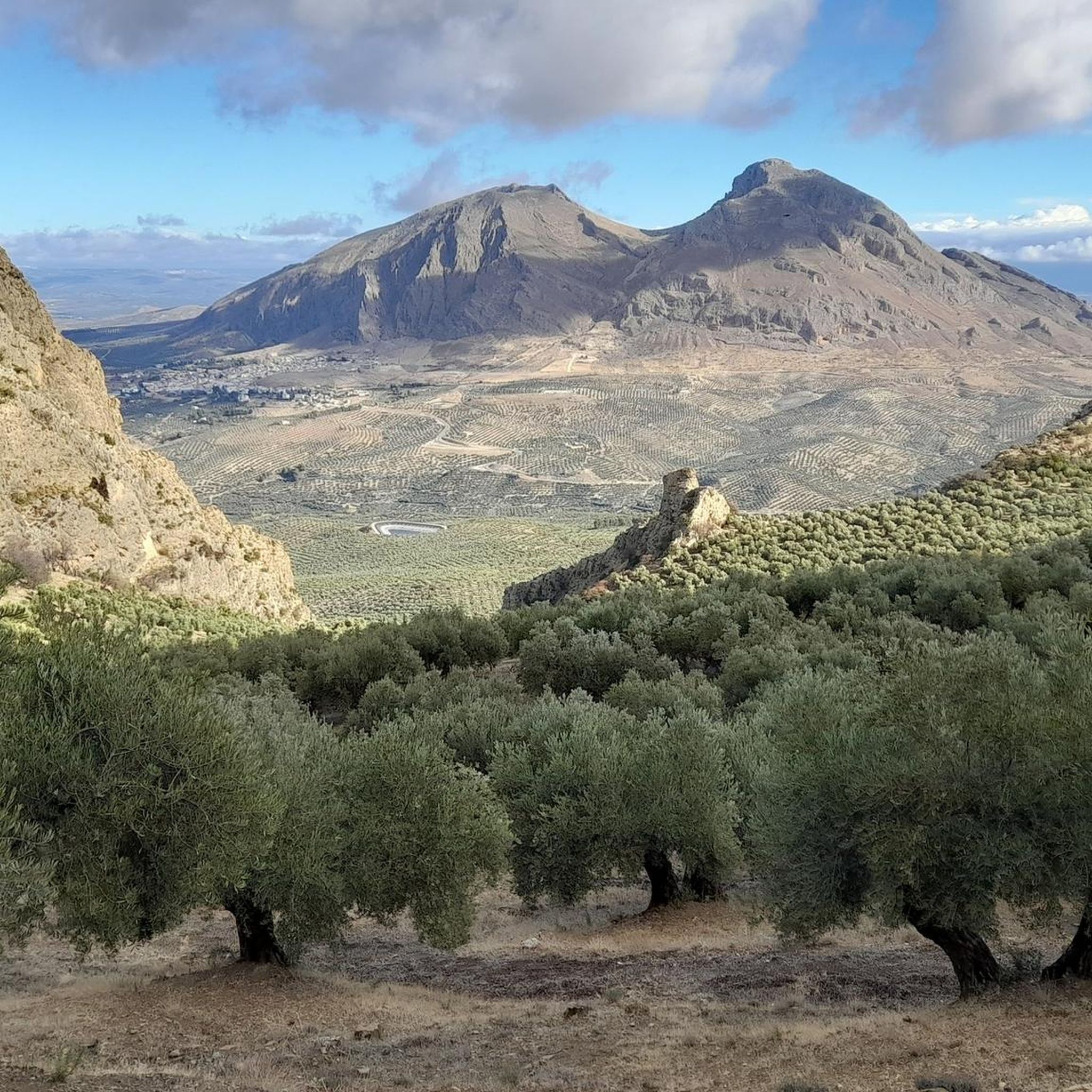
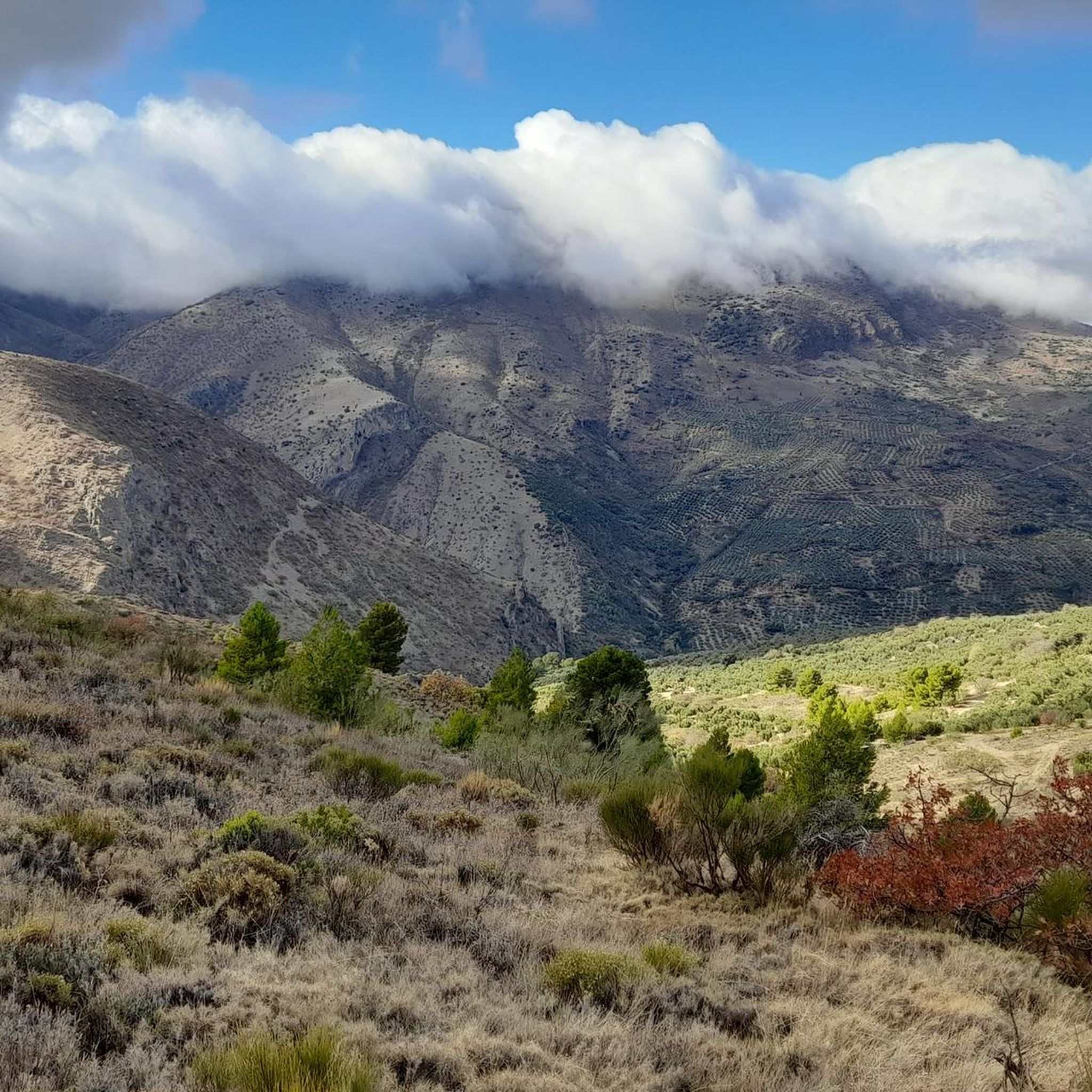
Touring cycling in Sierra Mágina offers routes through a landscape characterized by rugged, steep limestone formations and significant elevation gains. The region features rocky summits, vertical cliffs, and diverse forests, including ancient Aleppo pines. Lower and intermediate elevations are defined by extensive olive and almond groves, providing varied backdrops for touring cyclists. This natural park provides challenging terrain for those seeking demanding cycling experiences.
Best touring cycling routes in Sierra Mágina
- The most popular touring cycling route is Return to…
Last updated: October 16, 2026
4
riders
40.3km
03:27
1,050m
1,050m
Hard bike ride. Very good fitness required. You may need to push your bike for some segments of this route.
31
riders
38.5km
03:31
1,120m
1,120m
Hard bike ride. Very good fitness required. Mostly paved surfaces. Suitable for all skill levels.

5.0
(1)
7
riders
44.2km
03:17
1,070m
1,080m
Hard bike ride. Very good fitness required. Mostly paved surfaces. Suitable for all skill levels.
6
riders
45.9km
03:08
830m
830m
Hard bike ride. Very good fitness required. Mostly paved surfaces. Suitable for all skill levels.
5
riders
28.8km
02:44
870m
870m
Hard bike ride. Very good fitness required. Mostly paved surfaces. Suitable for all skill levels.
Get access to more routes and recommendations from other explorers.
Already have an account?
Our route recommendations are based on thousands of hikes, rides, and runs completed by other people on komoot.
Start today with a free account
Your next adventure awaits.
Tips from the Community

What could be more typical of Jaén than the sea of olive trees. This road is the perfect dose of asphalt and agricultural landscape.
0
0

Nice viewpoint. You cannot go up to the top of the tower (door closed)
0
0

nice route and beautiful views
0
0

The Torreón de Cuadros is a cylindrical tower located in Bedmar y Garcíeza. This tower has a diameter of 6.37 meters and a height of 12 meters, with walls 1.6 meters thick. It was built on an earlier structure, possibly of Moorish origin, and is mentioned in a document by Alfonso X from 1260.
5
0

Nothing, it's a pantomime created to win points, as we used to say in Andalusia, ni na de na!
0
0
I savor the pleasure of revenge 😊
1
1
There's not much left ☺️
0
0

The obelisk of Mancha Real was erected to commemorate the granting of the city title to Mancha Real by King Felipe VI in 2016. The monument symbolizes pride and recognition of the historical and social significance of the city.
9
0
Frequently Asked Questions
How many touring cycling routes are available in Sierra Mágina?
There are over 70 touring cycling routes in Sierra Mágina, offering a wide range of experiences for cyclists. The majority of these routes are classified as difficult, catering to those seeking a challenging ride through the region's mountainous terrain.
What kind of terrain can I expect on touring cycling routes in Sierra Mágina?
Sierra Mágina is characterized by rugged, steep limestone formations with significant elevation gains, including peaks over 2,000 meters. You can expect a mix of paved roads and forestry tracks, passing through rocky summits, vertical cliffs, shady forests, riverbanks, and extensive olive and almond groves. The diverse landscape ensures a constantly changing and often demanding backdrop for your ride.
Are there any easy touring cycling routes for beginners in Sierra Mágina?
While Sierra Mágina is known for its challenging terrain, there are a few moderate touring cycling routes available. However, the majority of the 72 routes are classified as difficult, featuring significant elevation changes. Beginners should be prepared for demanding climbs and descents, even on routes not explicitly labeled 'difficult'.
What are some notable natural features or landmarks to see along the touring cycling routes?
Sierra Mágina offers numerous natural and historical attractions. You might encounter the ancient Aleppo pines of Adelfal de Cuadros Trail, the impressive Pico Mágina Summit (2,167 m), or the serene Source of the Cuadros River. The region also features historic castles and fortifications, such as Albanchez de Mágina Castle, remnants of its frontier history.
Are there any circular touring cycling routes in Sierra Mágina?
Yes, many touring cycling routes in Sierra Mágina are circular. For example, the challenging Return to the Aznaitin hill - circular in the Sierra Mágina Natural Park is a popular option, covering 40.3 km with over 1,050 meters of elevation gain. Another is the Fuente Mivararis – Fuente del Puerco loop from Torres, a 38.5 km mountainous path.
What is the best time of year to go touring cycling in Sierra Mágina?
The best time for touring cycling in Sierra Mágina is typically spring and autumn when temperatures are milder. Summers can be very hot, especially at lower elevations, while winters can bring snow and freezing conditions to the higher peaks like Pico Mágina. Always check the local weather forecast before heading out, as conditions can vary significantly with elevation.
Are there any touring cycling routes suitable for families with children?
Given the predominantly difficult and mountainous terrain of Sierra Mágina, most touring cycling routes are not ideal for young children or inexperienced family riders. The region's routes often feature significant elevation gains and challenging surfaces. For families, it's advisable to look for specific, shorter, and flatter sections or consider other activities like the easy circular walking path at Adelfal de Cuadros.
What do other touring cyclists enjoy most about cycling in Sierra Mágina?
The area is highly rated by the komoot community, with an average score of 5.0 stars. Reviewers often praise the challenging terrain, the stunning panoramic views from high peaks like Pico Mágina, and the diverse landscapes that include ancient forests, olive groves, and dramatic limestone formations. The sense of adventure and immersion in nature are frequently highlighted.
Are there any specific permits required for cycling in Sierra Mágina Natural Park?
Generally, no specific permits are required for touring cycling on established roads and tracks within Sierra Mágina Natural Park. However, it's always good practice to respect park regulations, stay on marked paths, and be aware of any specific rules for protected areas. For more detailed information on the park, you can visit visit-andalucia.com.
Where can I find parking for touring cycling routes in Sierra Mágina?
Parking is typically available in the towns and villages surrounding the natural park, such as Torres, Villa Rosario, Albanchez de Mágina, and Jimena, which serve as common starting points for many routes. Specific parking areas may also be found near popular trailheads or recreational zones. It's recommended to check the starting point of your chosen route for the most convenient parking options.
Can I bring my dog on touring cycling routes in Sierra Mágina?
While many natural areas in Spain are dog-friendly, specific rules may apply within Sierra Mágina Natural Park, especially concerning protected wildlife or livestock. It's generally advisable to keep dogs on a leash to prevent disturbance to wildlife and other visitors. Always ensure your dog is well-behaved and that you carry waste bags. Check local park regulations for any specific restrictions before you go.
Are there any cafes or places to stop for refreshments along the touring cycling routes?
The touring cycling routes in Sierra Mágina often pass through or near small towns and villages where you can find cafes, bars, and restaurants for refreshments. Towns like Torres, Jimena, and Albanchez de Mágina offer opportunities to refuel. However, many routes venture into remote areas, so it's always wise to carry sufficient water and snacks, especially on longer or more challenging rides.
How long do touring cycling routes in Sierra Mágina typically take to complete?
The duration of touring cycling routes in Sierra Mágina varies significantly based on distance, elevation gain, and your cycling pace. For example, the Return to the Aznaitin hill - circular in the Sierra Mágina Natural Park, a 40.3 km difficult route, typically takes around 3 hours 26 minutes. Another route, the Fuente Mivararis – Jimena loop from Villa Rosario (44.2 km), is often completed in about 3 hours 17 minutes. Be prepared for longer durations due to the challenging terrain.
Most popular attractions in Sierra Mágina

Get inspired with the komoot mobile app


Explore more
Browse the best Cycling routes in other regions.
