The best walks and hikes in Sierra De Arana
4.6
(969)
5,418
hikers
28
hikes
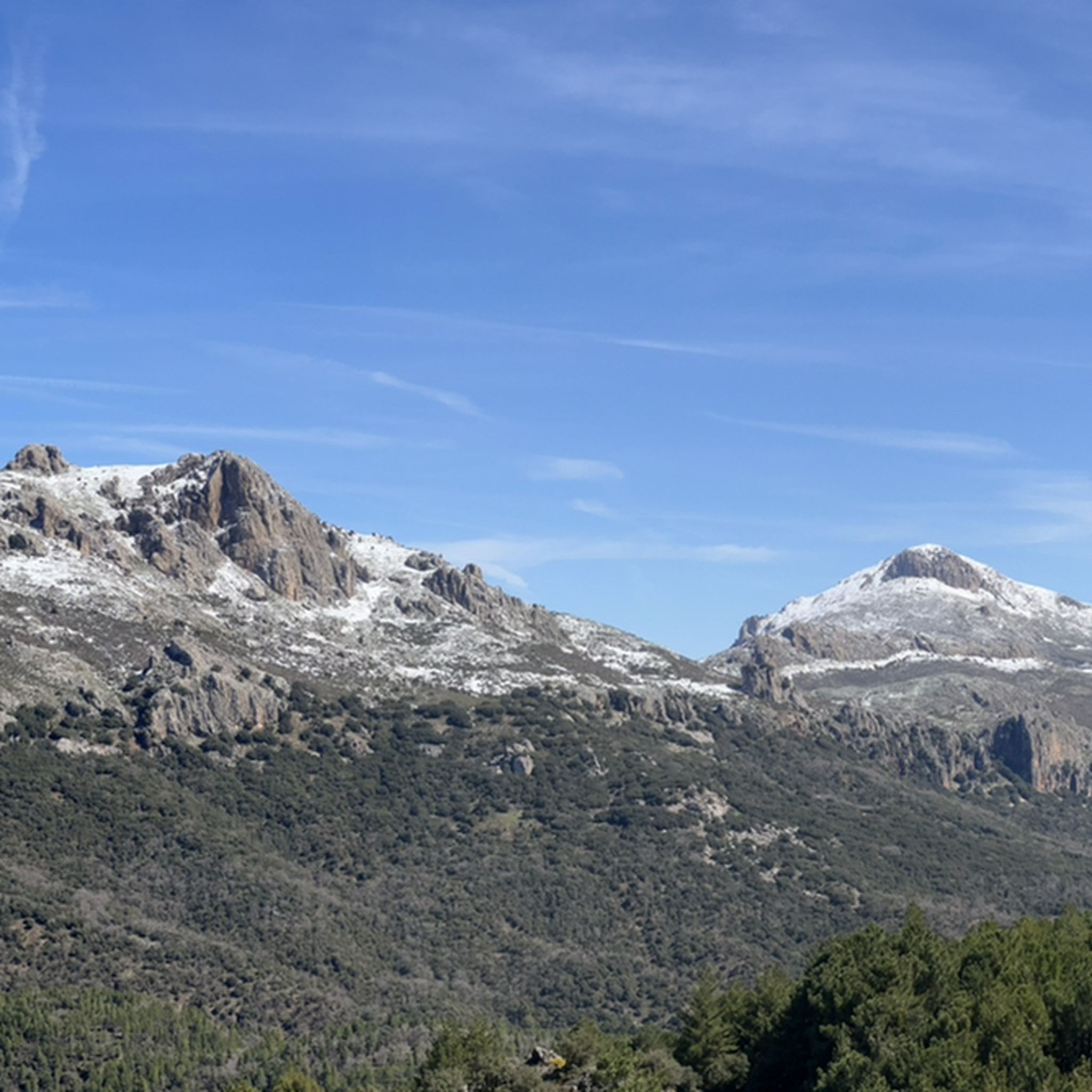
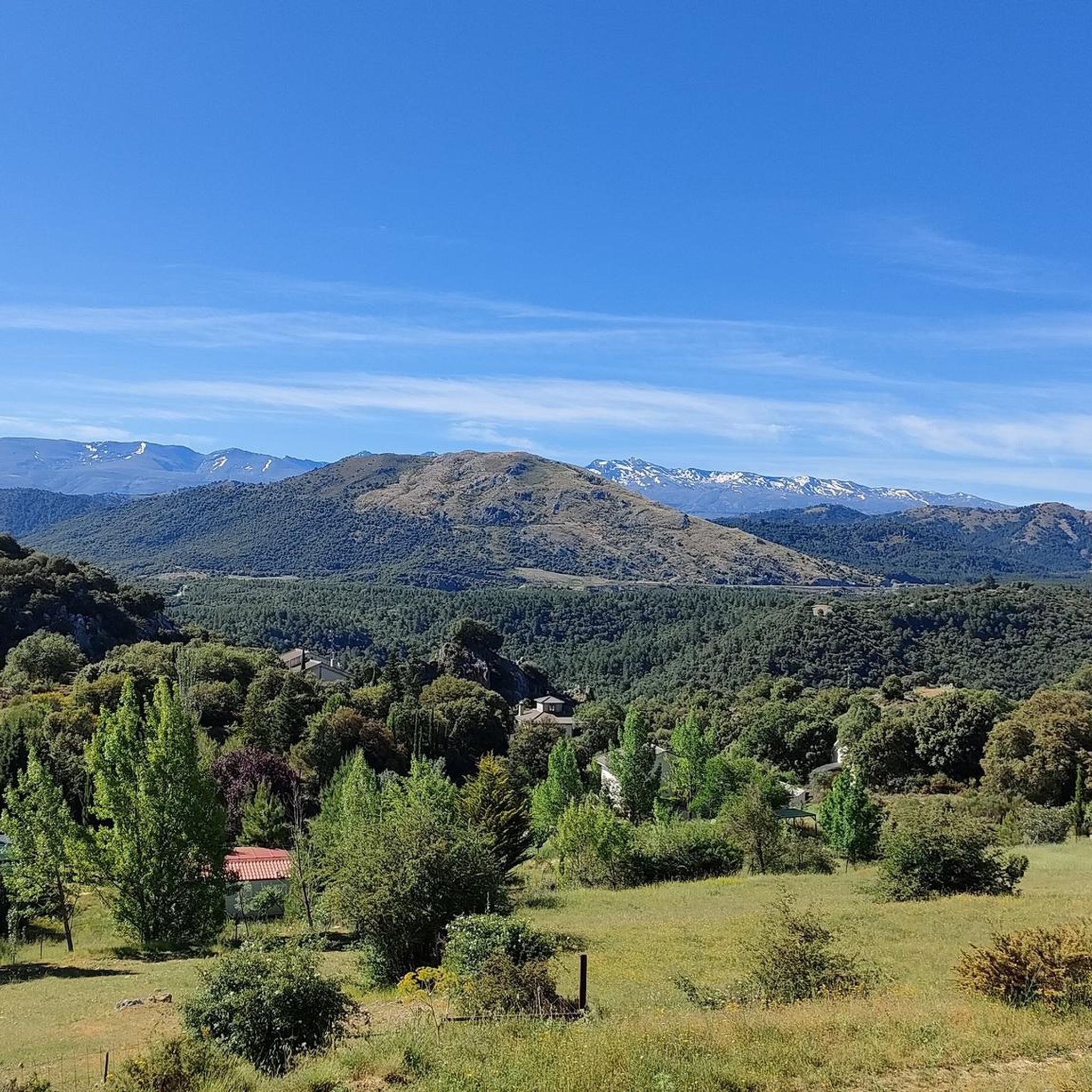
Hiking in Sierra De Arana, a mountain range in Granada province, Spain, features a distinctive karstic topography shaped by limestone dissolution. This creates varied landscapes including dolomitic limestone dorsals, steep slopes, and elevated plateaus. The region offers diverse habitats, from expansive oak woodlands and Mediterranean scrublands to pine forests in higher mountainous areas. Peña de la Cruz, at 2,027 meters, is the highest point, providing panoramic views of the adjacent Sierra Nevada mountains.
Best hiking trails in Sierra De Arana
…Last updated: July 7, 2026
5.0
(1)
7
hikers
14.8km
05:06
560m
560m
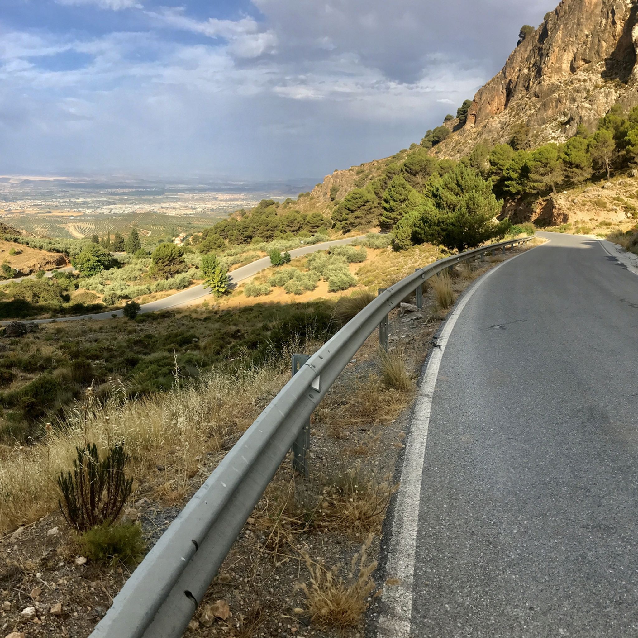
Hike the difficult 9.2-mile Cogollos de la Vega Integral Trail, gaining 1848 feet for panoramic views of Granada and Sierra Nevada.
4.8
(12)
36
hikers
10.1km
03:48
600m
600m
Hard hike. Good fitness required. Sure-footedness, sturdy shoes and alpine experience required.

Sign up for free
5.0
(3)
12
hikers
Hard hike. Very good fitness required. Mostly accessible paths. Sure-footedness required.
4.8
(4)
11
hikers
2.66km
00:50
100m
100m
Easy hike. Great for any fitness level. Easily-accessible paths. Suitable for all skill levels.
7
hikers
12.1km
04:30
620m
620m
Hard hike. Good fitness required. Sure-footedness, sturdy shoes and alpine experience required.
Get access to more routes and recommendations from other explorers.
Sign up for free
Already have an account?
Our route recommendations are based on thousands of hikes, rides, and runs completed by other people on komoot.
Start today with a free account
Your next adventure awaits.
Login or Signup

Tips from the Community

Perfect stop on the hike. I had a wonderfull lunch there
0
0

Unparalleled beauty to recharge your batteries and your senses
0
0


This mountainous landscape can be easily explored from Granada through shady pine forests, even on warmer days. Good gravel routes and always great views of the Pico Veleta. Highly recommended. Don't forget water.
2
0

great supplies to regain strength
0
0

Cogollos de la Vega is a pretty town with important archaeological remains and historical monuments. Its castle dating from the Middle Ages, the watchtower and the Arab baths and the parish church are well worth a visit. In addition, the views of the surroundings are spectacular from here.
0
0

Typical local food restaurant in the village of Prado Negro. The wild boar ration is incredible and is something you have to try accompanied by a source of poor potatoes.
1
0

Peñón de la Mata, its attractive landscape of pine forests and masses of limestone rock, its medium-height peaks make it a popular destination for hiking all year round.
4
0
Frequently Asked Questions
How many hiking trails are available in Sierra De Arana?
Sierra De Arana offers a diverse network of over 20 hiking trails. These include 4 easy routes, 6 moderate routes, and 11 challenging routes, catering to various skill levels and preferences.
What kind of unique natural features can I expect to see while hiking in Sierra De Arana?
The region is renowned for its distinctive karstic topography, shaped by limestone dissolution. Hikers will encounter fascinating geological formations such as dolomitic limestone dorsals, steep slopes, elevated plateaus, and poljes. The area also features expansive oak woodlands, Mediterranean scrublands, and pine forests, particularly in higher mountainous areas.
Are there any trails that feature waterfalls in Sierra De Arana?
Yes, for those interested in waterfalls, the Prado Negro Waterfall – Acequia del Fardes loop from Prado Negro is an easy 6.1 km trail that leads through a forest and past a waterfall, making it a popular choice.
What are the best trails for panoramic views of the Sierra Nevada mountains?
The eastern summits of Sierra De Arana, including Peña de la Cruz (2,027 meters), offer breathtaking panoramic views of the adjacent Sierra Nevada mountains, with prominent peaks like Mulhacén, Veleta, and Alcazaba visible. Challenging routes like the Cogollos de la Vega Integral Trail also provide extensive vistas of Granada and the Sierra Nevada.
Are there any family-friendly hiking options in Sierra De Arana?
Yes, Sierra De Arana has several easy trails suitable for families. The Prado Negro Waterfall – Acequia del Fardes loop from Prado Negro is an easy 6.1 km route that is often completed in under two hours, offering a pleasant experience for all ages.
What kind of wildlife might I encounter on the trails?
Sierra De Arana is a biodiversity hotspot and a Special Area of Conservation. Hikers might spot the abundant Iberian ibex in higher rocky areas. The region is also home to various birds of prey, including the golden eagle and Bonelli's eagle, which often nest in the deep ravines.
Are there any historical or cultural landmarks to explore along the hiking routes?
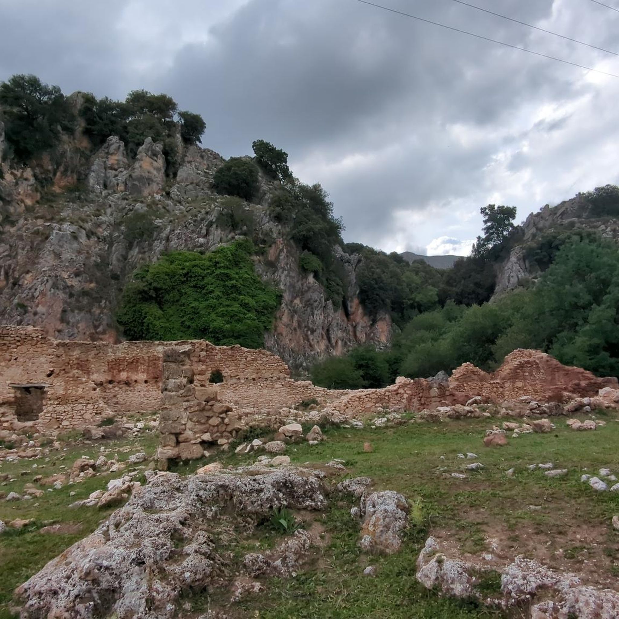
Yes, you can discover points of interest such as the Roman Dam of Barcinas. Additionally, areas like Peñón de la Mata are significant natural landmarks with historical context.
What do other hikers enjoy most about hiking in Sierra De Arana?
The area is highly rated by the komoot community, with an average score of 4.6 stars from over 600 reviews. Reviewers often praise the diverse terrain, from karstic formations to oak woodlands, and the stunning panoramic views, especially of the Sierra Nevada mountains.
Are there any circular hiking routes available?
Many trails in Sierra De Arana are designed as loops. For instance, the Peñón de la Mata – Cogollos de la Vega loop from Cogollos de la Vega is a difficult 10.1 km circular path that winds through varied terrain with significant elevation gain.
What is the highest point in Sierra De Arana and can I hike to it?
The highest point in Sierra De Arana is Peña de la Cruz, reaching an elevation of 2,027 meters (6,650 feet). For experienced hikers, the ascent to Peña de la Cruz from Prado Negro offers a demanding out-and-back trail with significant elevation gain and rocky terrain.
Are there any facilities or places to eat near the trails?
Yes, you can find facilities like the El Sotillo Recreation Area and the Cueva del Agua Interpretation Center. For dining, Mesón Jabalí Prado Negro is an option near some of the trailheads.
What is the typical duration for hikes in Sierra De Arana?
Hike durations vary significantly based on difficulty and length. Easy trails like the Prado Negro Waterfall loop can take less than 2 hours, while more challenging routes such as the Cogollos de la Vega Integral Trail typically require over 5 hours to complete.
Most popular routes in Sierra De Arana
Most popular attractions in Sierra De Arana

Get inspired with the komoot mobile app


Explore more
Browse the best Hikes in other regions.
