The best walks and hikes around Río Jandula, Río Guadalquivir Y Río Del Rumblar
4.7
(13)
181
hikers
31
hikes
Hiking around Río Jandula, Río Guadalquivir Y Río Del Rumblar offers trails through a landscape shaped by its prominent rivers. The region features riverine paths along the Guadalquivir and Jandula, alongside areas of varied terrain. Hikers can expect a mix of open spaces and natural recreation areas. This area provides opportunities to explore the natural environment of the Sierra Morena foothills.
Best hiking trails around Río Jandula, Río Guadalquivir Y Río Del Rumblar
- The most popular hiking route is Balneario…
Last updated: July 18, 2026
2
hikers
9.69km
02:33
90m
90m
Moderate hike. Good fitness required. Easily-accessible paths. Suitable for all skill levels.
22.4km
05:49
140m
140m
Hard hike. Very good fitness required. Easily-accessible paths. Suitable for all skill levels.

Sign up for free
5.0
(7)
13
hikers
6.26km
01:36
20m
20m
Easy hike. Great for any fitness level. Easily-accessible paths. Suitable for all skill levels.
5.0
(1)
10
hikers
17.7km
05:02
390m
390m
Hard hike. Very good fitness required. Easily-accessible paths. Suitable for all skill levels.
8
hikers
8.23km
02:07
40m
40m
Moderate hike. Good fitness required. Easily-accessible paths. Suitable for all skill levels.
8
hikers
17.9km
05:41
720m
720m
Hard hike. Very good fitness required. Easily-accessible paths. Suitable for all skill levels.
5
hikers
Moderate hike. Good fitness required. Easily-accessible paths. Suitable for all skill levels.
8
hikers
4.46km
01:16
100m
100m
Easy hike. Great for any fitness level. Easily-accessible paths. Suitable for all skill levels.
9
hikers
14.2km
03:37
40m
40m
Moderate hike. Good fitness required. Easily-accessible paths. Suitable for all skill levels.
4
hikers
12.9km
03:24
120m
120m
Moderate hike. Good fitness required. Easily-accessible paths. Suitable for all skill levels.
Get access to more routes and recommendations from other explorers.
Sign up for free
Already have an account?
Our route recommendations are based on thousands of hikes, rides, and runs completed by other people on komoot.
Start today with a free account
Your next adventure awaits.
Login or Signup
Popular around Río Jandula, Río Guadalquivir Y Río Del Rumblar
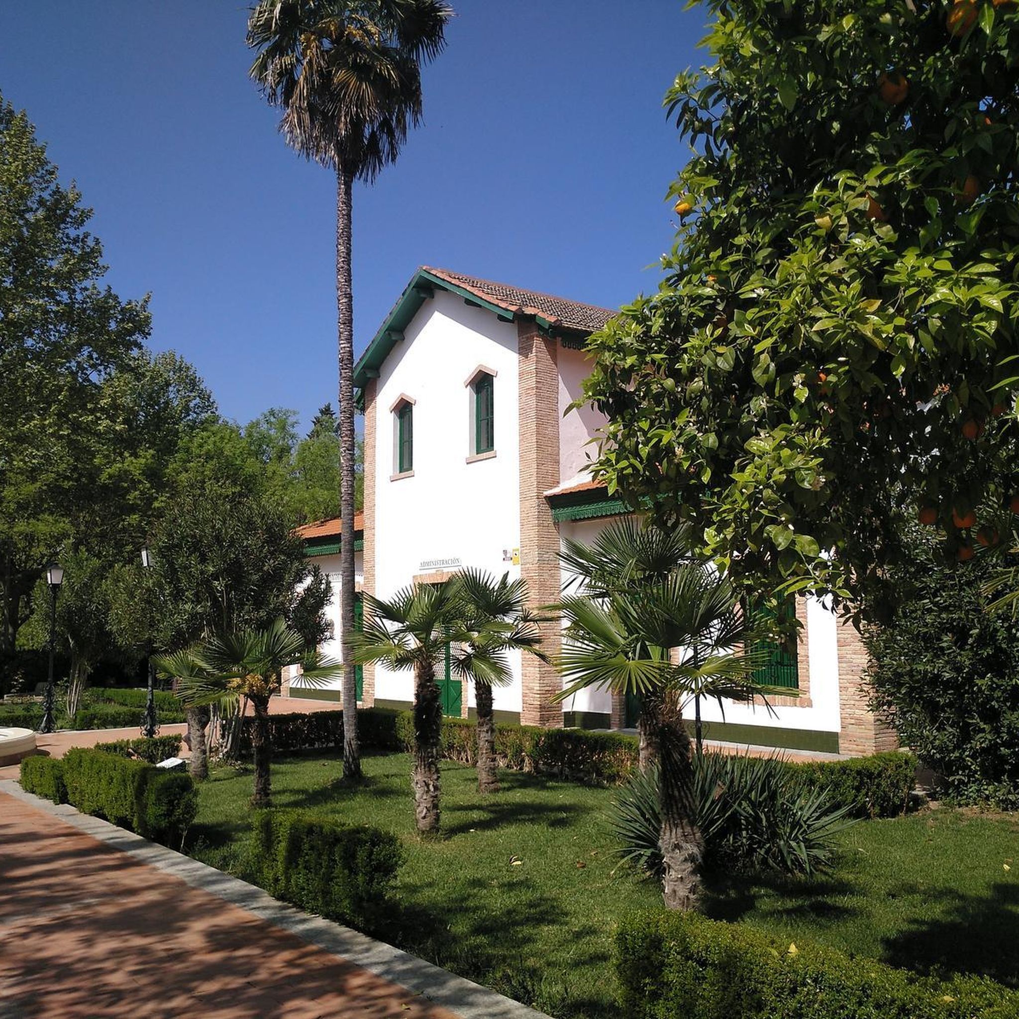
Road Cycling Routes around Río Jandula, Río Guadalquivir Y Río Del Rumblar
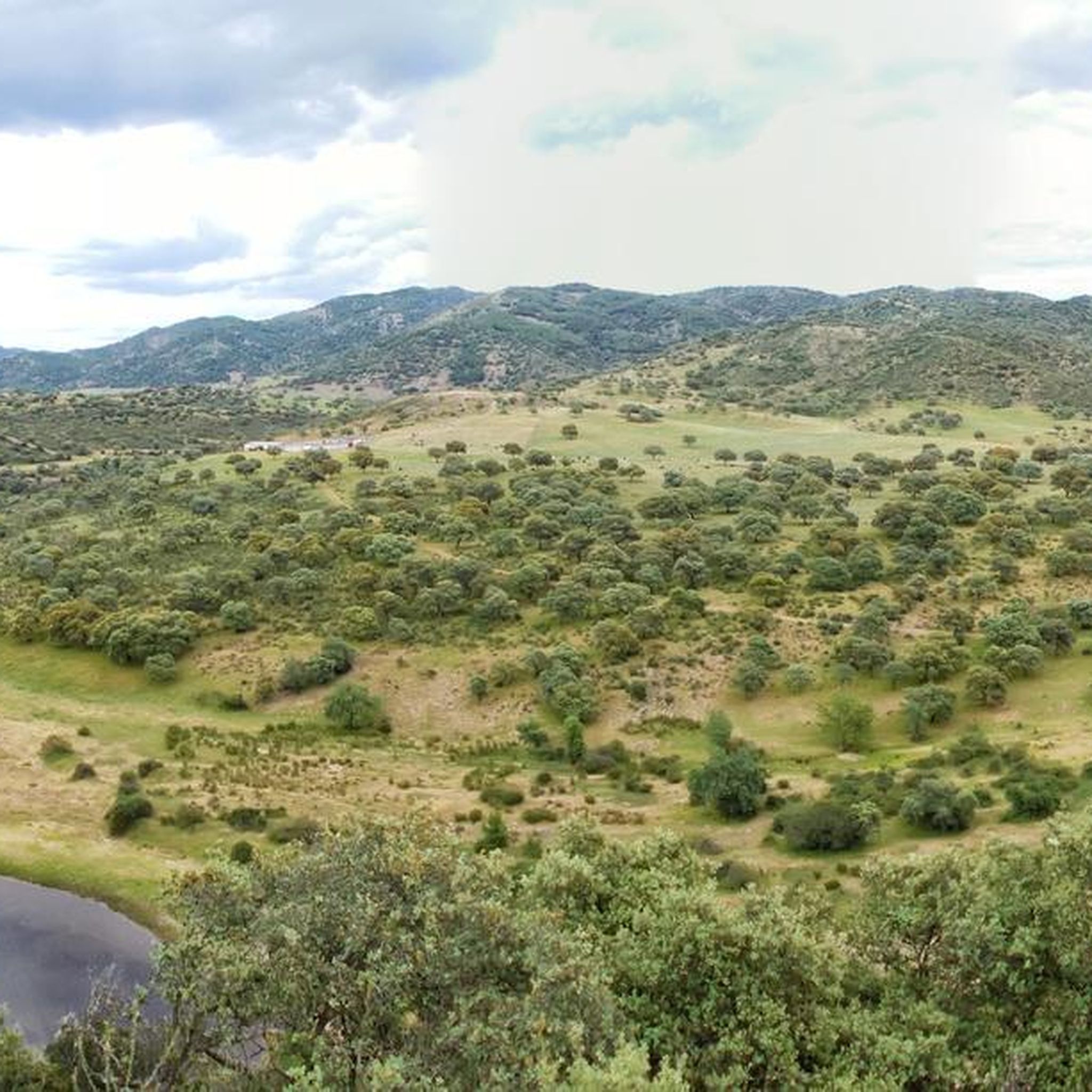
Running Trails around Río Jandula, Río Guadalquivir Y Río Del Rumblar

Cycling around Río Jandula, Río Guadalquivir Y Río Del Rumblar
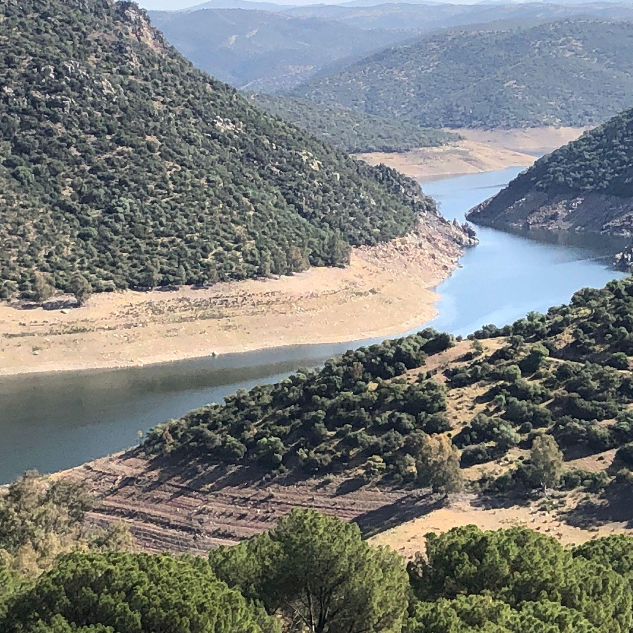
MTB Trails around Río Jandula, Río Guadalquivir Y Río Del Rumblar

Gravel biking around Río Jandula, Río Guadalquivir Y Río Del Rumblar
Tips from the Community

It is a river that originates in the south of the province of Ciudad Real and is formed by the confluence of the Montoro and Ojailén rivers. It creates two reservoirs before flowing past the Sanctuary of the Virgin of the Head. The first reservoir is called "La Lancha" and the second, "Encinarejo," is used for swimming during the summer months. It flows into the Guadalquivir River very near the town of Marmolejo.
13
0
Very close to the so-called "Cuesta del Madroño" (Strawberry Tree Slope) is the only fountain on the "Camino Viejo" (Old Road) where we can refresh ourselves and refill our water bottles, as there is still a long stretch with a steep climb ahead. During the summer it usually dries up, so it's advisable to bring enough water from Andújar.
12
0
For more than 25 years, an image of a pilgrim has been built at this point, in whose stomach a hollow was made so that from a kind of balcony one could see for the first time on the way and in the distance at the top of the hill of the head, the Sanctuary of the Virgin of the Head, from which there are still about 8 kilometers to reach it.
6
0
An emblematic spot for the horse-drawn carts, where the ritual of baptizing new pilgrims is often performed. A small monument to the carts was built at this crossing of the stream.
11
0
The first stop on the old road to the Sanctuary of the Virgin of the Head is where pilgrims rest and have a light lunch before continuing their journey. Here you'll find several watering troughs so the horses can quench their thirst during the approximately 20-kilometer trek from the city of Andújar. A small chapel has also been built where pilgrims can pray to the Virgin.
6
0
This is another area notable for its slope and also contains a large number of loose stones, which gives it the name "Cuesta de las Chinas" (Hill of the Chinas), referring to the loose stones that make it difficult for cyclists and horses to pass through this section.
11
0
The people of Andújar have named the different sections of the Camino Viejo with names that reflect the steep climbs or extreme descents; thus, this first slope was called and known by everyone as the "Cuesta del Reventón" (Hill of the Bursting), as it is the warm-up for the pilgrims in the tough ascent to the Sanctuary of the Virgin of the Head
6
0
In Andújar, this first approach to the Sierra Morena is known as "Los Cerrillos," as it consists of gentle hills used as a grazing area for docile cattle. Bulls, cows, and calves graze freely throughout the fenced area.
11
0
Frequently Asked Questions
How many hiking trails are available in the Río Jandula, Río Guadalquivir Y Río Del Rumblar region?
There are over 30 hiking routes recorded on komoot for the Río Jandula, Río Guadalquivir Y Río Del Rumblar area. These trails offer a variety of experiences, from easy riverside strolls to more challenging treks through the Sierra Morena foothills.
Are there easy hiking trails suitable for beginners or families?
Yes, the region offers 13 easy hiking trails. A good option for a relaxed outing is the Hiking loop from Andújar, which is 3.7 miles (5.9 km) long and takes about 1 hour 30 minutes to complete, leading through local landscapes.
What are the typical lengths and durations of hikes in this area?
Hikes in Río Jandula, Río Guadalquivir Y Río Del Rumblar vary significantly. You can find shorter walks like the San Ginés Hermitage – Monument to the Pilgrim loop from San Ginés, which is 3.2 miles (5.1 km) and takes around 1 hour 28 minutes. Longer, more challenging routes, such as the Mirador del meandro del río Jándula - loop from Andújar, can be up to 13.9 miles (22.4 km) and require over 5 hours.
Are there any circular hiking routes in the Río Jandula, Río Guadalquivir Y Río Del Rumblar area?
Many of the trails in this region are circular, allowing you to start and end at the same point. For example, the Balneario de Marmolejo - circular by the Guadalquivir river bank is a popular 6.0-mile (9.7 km) loop along the Río Guadalquivir.
Can I bring my dog on the hiking trails?
Generally, dogs are welcome on many trails in the Río Jandula, Río Guadalquivir Y Río Del Rumblar region, especially in natural recreation areas. However, it's always advisable to keep them on a leash, particularly in areas with wildlife or near livestock, and to check local regulations for specific protected zones.
What kind of wildlife can I expect to see while hiking?
The river valleys and surrounding natural areas are home to diverse wildlife. You might spot various bird species, including raptors, along the rivers. Mammals such as deer, wild boar, and smaller creatures are also present, especially in the more secluded parts of the Sierra Morena foothills.
What is the best time of year to go hiking in this region?
The best time to hike in Río Jandula, Río Guadalquivir Y Río Del Rumblar is typically during spring (March to May) and autumn (September to November). During these seasons, temperatures are milder, and the landscape is vibrant. Summers can be very hot, making early morning or late afternoon hikes preferable, while winters are generally mild but can have occasional rain.
Are there any challenging hikes for experienced trekkers?
Yes, there are 3 difficult routes for experienced hikers. The San Ginés Hermitage – Bridge over the Jándula River loop from San Ginés is a challenging 11.1-mile (17.9 km) route with significant elevation gain, offering a more strenuous experience.
What do other hikers enjoy most about the trails here?
The area is highly rated by the komoot community, with an average score of 4.7 stars. Reviewers often praise the scenic riverine paths, the tranquility of the natural recreation areas, and the varied terrain that offers something for different skill levels.
Are there any notable landmarks or points of interest along the hiking routes?
While specific highlights are not detailed, the region is characterized by its three prominent rivers. Many trails offer views of the river meanders, such as the Mirador del meandro del río Jándula - loop from Andújar, and pass through natural recreation areas, providing opportunities to appreciate the local landscape and river ecosystems.
Is parking generally available near the trailheads?
Many trailheads, especially those starting from towns like Andújar or near popular recreation areas, typically offer parking facilities. However, for more remote starting points, roadside parking might be the only option. It's always a good idea to check the specific route details on komoot for parking information before you go.
Most popular routes around Río Jandula, Río Guadalquivir Y Río Del Rumblar

Get inspired with the komoot mobile app


Explore more
Browse the best Hikes in other regions.
