The best walks and hikes around Pfaffenhausen
4.6
(514)
2,553
hikers
21
hikes
Hiking around Pfaffenhausen offers diverse landscapes, from idyllic river valleys to hilly meadows and extensive forests. The region is characterized by the Mindel River, which features trails along its course, and areas like the Pfaffenhauser Moos. Hikers can also find views of the Alps in the distance from the gently rolling terrain. This varied topography provides opportunities for both leisurely walks and more challenging treks.
Best hiking trails around Pfaffenhausen
- The most popular hiking route is Pfaffenhauser Moos – Stork…
Last updated: June 24, 2026
4.5
(6)
21
hikers
Easy hike. Great for any fitness level. Easily-accessible paths. Suitable for all skill levels.
7
hikers
Easy hike. Great for any fitness level. Easily-accessible paths. Suitable for all skill levels.

Sign up for free
4
hikers
Moderate hike. Good fitness required. Easily-accessible paths. Suitable for all skill levels.
3
hikers
Easy hike. Great for any fitness level. Easily-accessible paths. Suitable for all skill levels.
3
hikers
2.56km
00:39
10m
10m
Easy hike. Great for any fitness level. Easily-accessible paths. Suitable for all skill levels.
Get access to more routes and recommendations from other explorers.
Sign up for free
Already have an account?
Our route recommendations are based on thousands of hikes, rides, and runs completed by other people on komoot.
Start today with a free account
Your next adventure awaits.
Login or Signup
Other adventures around Pfaffenhausen

Tips from the Community


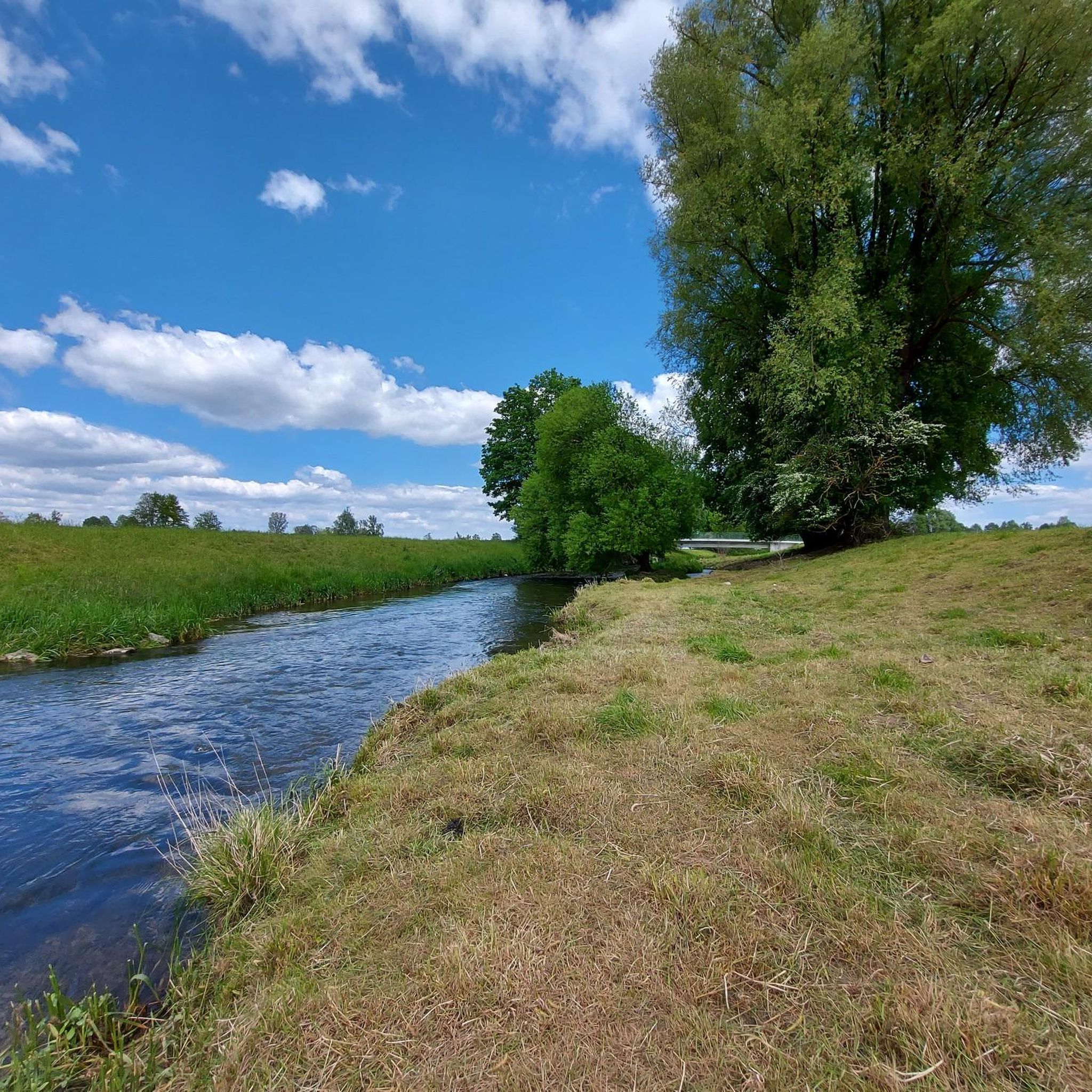
The Mindel is a right tributary of the Danube and flows through the fertile and largely flat land near Hasberg.
2
0

enjoy the silence at the lake.
2
0

A nice bench to relax and take a break
3
1


Frequently Asked Questions
How many hiking trails are available around Pfaffenhausen?
Pfaffenhausen offers a good selection of outdoor adventures, with over 20 hiking trails to explore. These range from easy strolls to more challenging treks, catering to various fitness levels.
What kind of landscapes will I encounter on hikes near Pfaffenhausen?
The region boasts diverse and picturesque landscapes. You can expect to hike through idyllic river valleys, along the Mindel River, across charming hilly meadows, and into extensive forests like the Mindelheimer Bergwald. The area also features moorland, and from higher points, you might even catch distant views of the Alps.
Are there any easy or family-friendly hiking routes in Pfaffenhausen?
Yes, Pfaffenhausen is well-suited for families and beginners, with 15 easy routes available. A popular choice is the Pfaffenhauser Moos – Stork Information Display loop from Pfaffenhausen, an easy 4.0-mile (6.5 km) trail that explores the local moorland and passes a unique stork information display.
Can I find circular hiking routes around Pfaffenhausen?
Many of the trails in Pfaffenhausen are circular, offering convenient starting and ending points. For instance, the Stork Information Display – Pfaffenhauser Moos loop from Pfaffenhausen is an easy 3.7-mile (5.9 km) circular path that takes you through the local moor landscape.
What are some notable landmarks or natural features to look out for on the trails?
Hikers can discover various points of interest. The Mindelburg is a prominent castle nearby, and you might also encounter the Pöllinger Kreuz. Natural features include the scenic Mindel River, the Pfaffenhauser Moos, and the 'Hochrain' Nature Reserve, known for its panoramic views and diverse flora and fauna.
Are there any moderate hiking trails for those seeking a bit more challenge?
Yes, there are 6 moderate routes for hikers looking for a longer or slightly more demanding experience. A great option is the Mindel River at Hasberg – Bench With a View of the Lake loop from Pfaffenhausen, a 8.6-mile (13.8 km) trail offering scenic views along the Mindel River and a lake.
What do other hikers say about the trails in Pfaffenhausen?
The hiking trails around Pfaffenhausen are highly regarded by the komoot community, holding an average rating of 4.6 stars from over 400 reviews. Hikers often praise the well-maintained paths, the peaceful natural surroundings, and the variety of landscapes encountered.
Are there any places to eat or drink near the hiking trails?
After a day of hiking, you can enjoy regional specialties at traditional inns found in and around Pfaffenhausen. While specific cafes or pubs directly on trails aren't listed, the local villages offer options for refreshments.
Is it possible to access hiking trails in Pfaffenhausen using public transport?
While specific public transport connections to trailheads are not detailed, Pfaffenhausen is a community in the Landshut district of Germany. It's advisable to check local bus schedules or regional train connections to nearby towns and then plan your route to the trail starting points.
Where can I find parking for hiking trails in Pfaffenhausen?
Parking is generally available in and around Pfaffenhausen, particularly near the town center or designated trailheads. Specific parking information for individual routes is often provided on komoot tour pages, so it's recommended to check the details for your chosen hike.
What is the best time of year to go hiking in Pfaffenhausen?
Pfaffenhausen offers hiking opportunities throughout the year. Spring and autumn provide pleasant temperatures and beautiful scenery with blooming flowers or vibrant fall foliage. Summer is great for enjoying the green landscapes, while winter can offer opportunities for snowshoeing or cross-country skiing in the broader region, though specific winter hiking trails are not detailed.
Are there any trails that offer good viewpoints?
Yes, many routes in the Pfaffenhausen area lead to impressive vantage points where you can relax and enjoy the scenic views. The 'Hochrain' Nature Reserve, for example, is known for magnificent panoramic views of the surroundings, and the gently hilly terrain often provides distant views of the Alps.
Most popular routes around Pfaffenhausen
Most popular attractions around Pfaffenhausen

Get inspired with the komoot mobile app


Explore more
Browse the best Hikes in other regions.
