The best running trails in Sierra Calderona
4.5
(57)
3,512
runners
187
runs
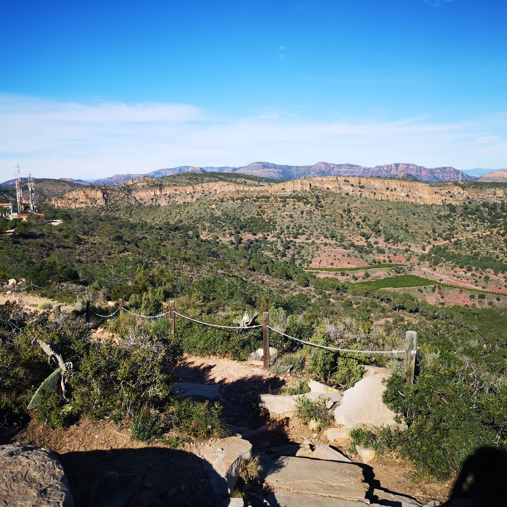
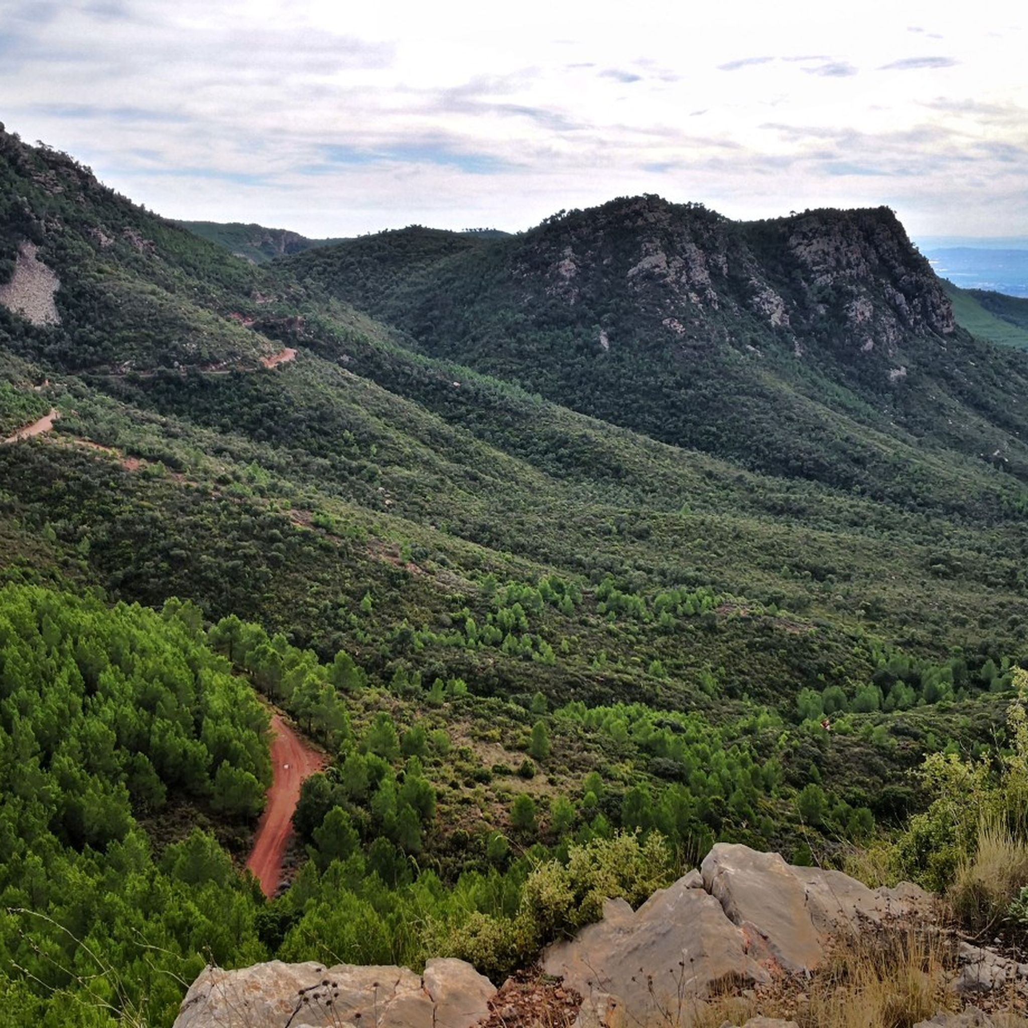
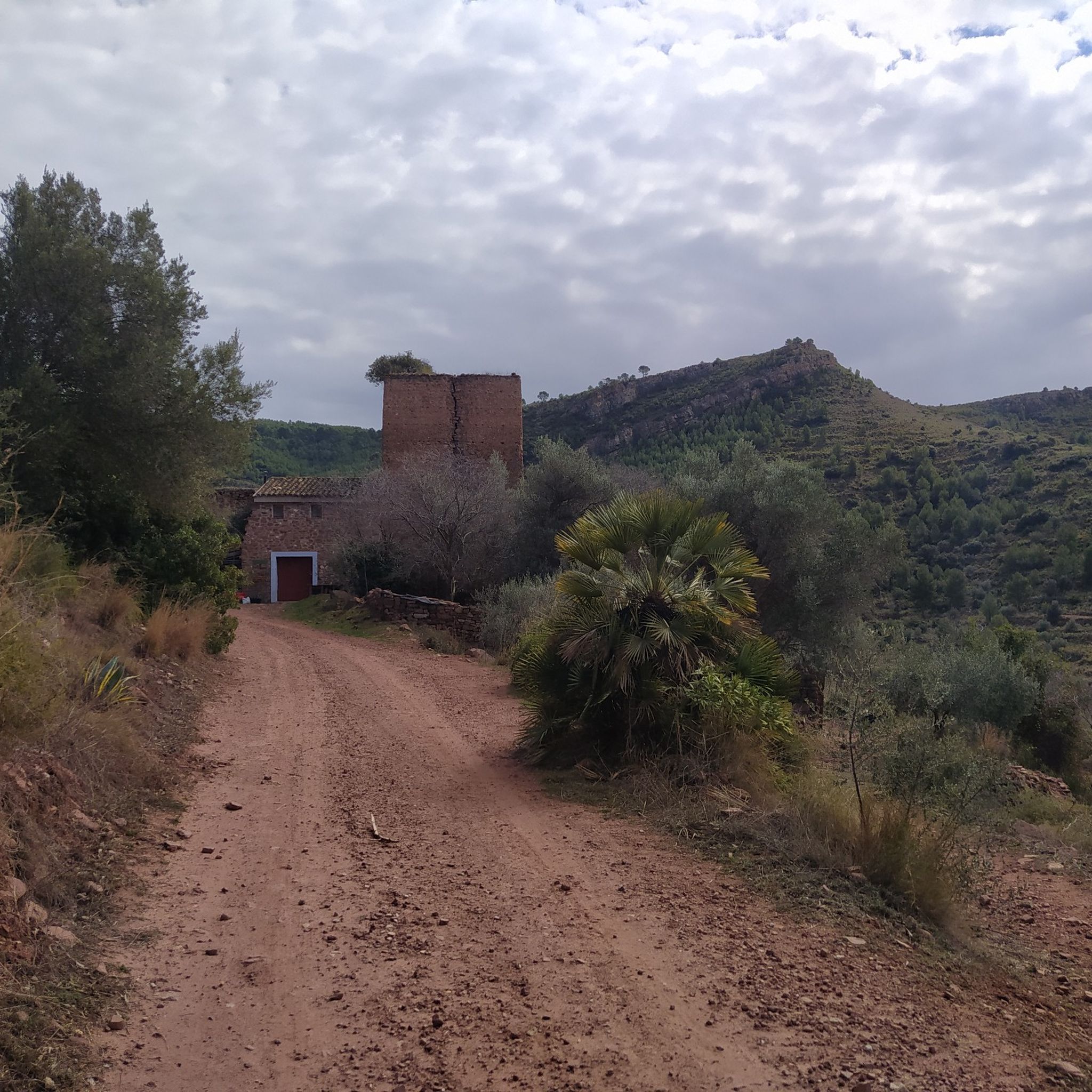
Jogging in Sierra Calderona offers diverse landscapes across its 18,000 hectares, characterized by Mediterranean habitat, ravines, and extensive forests of pines and cork oaks. The region features varied topography, including hills and slopes, providing a range of running experiences. Geologically, the park includes Triassic strata, breccias, and sandstones. This natural park is often referred to as the "green lung" of Valencia, separating the basins of the Palancia and Turia rivers.
Best jogging routes in Sierra Calderona
- The most popular jogging…
Last updated: October 10, 2026
4
runners
5.77km
00:45
190m
190m
This moderate 3.6-mile (5.8 km) circular jogging route in Olocau offers 612 feet (186 metres) of elevation gain and scenic views towards Pen
5.0
(1)
173
runners
22.0km
03:09
1,010m
1,010m
Hard run. Very good fitness required. Sure-footedness, sturdy shoes and alpine experience required.

4.0
(1)
136
runners
19.7km
02:34
710m
710m
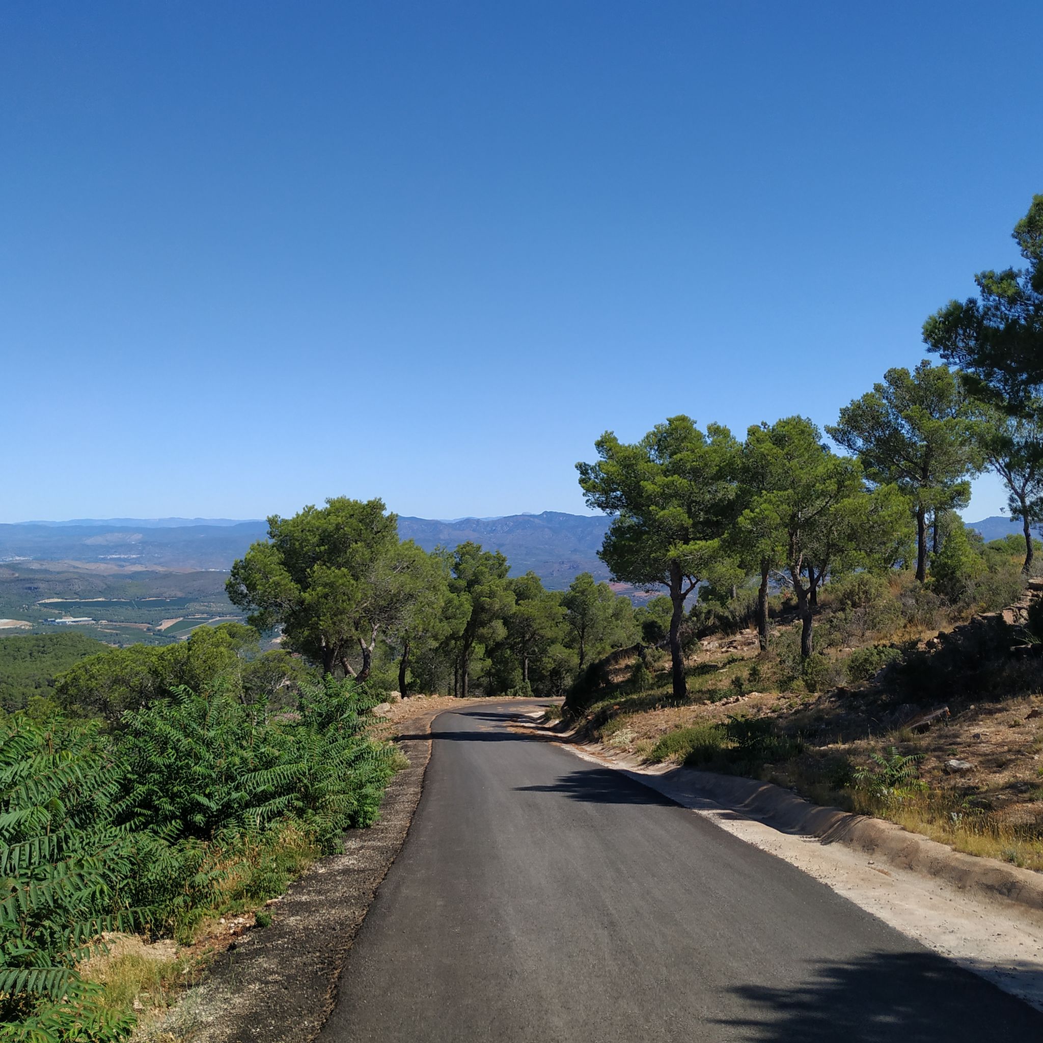
Hard run. Very good fitness required. Mostly paved surfaces. Suitable for all skill levels.
112
runners
19.1km
02:47
810m
800m
Hard run. Very good fitness required. Sure-footedness, sturdy shoes and alpine experience required.
4.0
(1)
93
runners
41.6km
05:47
1,630m
1,630m
Hard run. Very good fitness required. Sure-footedness, sturdy shoes and alpine experience required.
Get access to more routes and recommendations from other explorers.
Already have an account?
Our route recommendations are based on thousands of hikes, rides, and runs completed by other people on komoot.
Start today with a free account
Your next adventure awaits.

Tips from the Community

Crossroads that allows us to choose to reach the Potrillos spring or take the track that would lead us to what is known as km 0 of the routes in the area.
0
0
Rideable up to the vicinity of the cross, there the trail gets tricky. If you don't have much technique, you'll have to push the last few meters
0
0
Geodetic vertex. Protected sign. in a place with good views
0
0
Rebalsadores Geodetic Vertex, To set as a goal in a route or add it to a route to the viewpoint
1
0
Rest area at the foot of the castle, right at the end of the last ramp. Good spot to regroup or as an intermediate point on the route
0
0
Visitables ruins of the Serra castle. Beware, if you go by bike you will have to leave it at the beginning of the path up to the castle, it is impossible to go up with the bike. On weekends there are quite a lot of people
0
0


Garbí Viewpoint: Spectacular views of the Gulf of Valencia and, on clear days, as far as the Columbretes Islands. Ideal for sunrises and sunsets.
1
0
Frequently Asked Questions
How many running routes are available in Sierra Calderona?
Sierra Calderona Natural Park offers a vast network of over 170 running and jogging routes across its 18,000 hectares. These trails cater to various fitness levels, from moderate loops to challenging long-distance runs.
Are there any easy or beginner-friendly running paths in Sierra Calderona?
While many routes in Sierra Calderona are moderate to difficult, there are options suitable for beginners. For example, the Olocau Red Route: Sierra Calderona is a moderate 5.8 km (3.6 miles) circular trail with a manageable elevation gain of 186 meters, making it a good choice for those starting out or looking for a less strenuous run.
What kind of terrain can I expect on the running trails in Sierra Calderona?
The terrain in Sierra Calderona is diverse, featuring a distinctive Mediterranean habitat with ravines, extensive forests of pines and cork oaks, and mountainous sections. You'll encounter varied topography, including steep slopes, gullies, and creeks, with geological features like Triassic strata and sandstones. This provides a dynamic and engaging experience for trail runners.
Are there any circular running routes in the park?
Yes, Sierra Calderona has many circular running routes. A popular option is the Olocau Red Route: Sierra Calderona, which is a moderate 5.8 km loop. For a more challenging circular run, consider the Rebalsadors Viewpoint – El Sierro Peak loop from Serra, a difficult 22 km path with over 1,000 meters of elevation gain.
What are some notable landmarks or viewpoints I might see while running in Sierra Calderona?
Many running routes offer stunning views and pass by significant landmarks. You can enjoy breathtaking panoramic views from elevated points like the Garbí Viewpoint, which overlooks the central territories, surrounding mountain ranges, L'Albufera de València, and the Mediterranean Sea. Other notable features include the historic Castell de Serra and various peaks like Pico Tristán and Alt del Pi.
Are there any family-friendly running trails in Sierra Calderona?
While many routes are geared towards experienced runners, some sections or shorter loops can be enjoyed by families. The park has developed some accessible routes, and shorter, less strenuous paths, such as parts of the Olocau Red Route, might be suitable for families looking for a gentle jog or walk.
Can I bring my dog on the running trails in Sierra Calderona?
Sierra Calderona Natural Park is generally dog-friendly, but it's always recommended to keep your dog on a leash, especially in areas with wildlife or near other visitors. Always check local regulations and signage at trailheads, and ensure you clean up after your pet to preserve the park's natural beauty.
What do other runners enjoy most about jogging in Sierra Calderona?
The running routes in Sierra Calderona are highly rated by the komoot community, with an average score of 4.6 stars from over 30 reviews. Runners frequently praise the diverse landscapes, the challenging yet rewarding elevation gains, and the extensive forests of pines and cork oaks that provide a refreshing natural environment. The panoramic views from various viewpoints are also a major highlight.
Is public transport available to access the running trails in Sierra Calderona?
Access to Sierra Calderona is primarily by car, but some towns like Serra, which serve as excellent starting points for many trails, may have limited public transport connections. For specific routes, it's advisable to check local bus schedules to nearby villages, but direct access to all trailheads via public transport can be challenging.
Are there cafes or places to eat near the running routes in Sierra Calderona?
Yes, charming traditional Spanish villages like Serra and Náquera, located within or on the periphery of the park, offer opportunities to experience local culture and often have cafes, restaurants, and small shops where you can refuel after your run. These towns serve as convenient starting or ending points for many trails.
What is the best time of year to go running in Sierra Calderona?
Sierra Calderona is suitable for running year-round, but the best times are typically spring and autumn when temperatures are milder. Summers can be hot, making early morning or late afternoon runs preferable. Winters are generally mild, though higher elevations might experience cooler temperatures. Always check the local weather forecast before heading out.
Are there any historical or cultural sites to explore along the running paths?
Beyond its natural beauty, Sierra Calderona boasts significant cultural and historical attractions. You might encounter sites like the historic Castell de Serra, an Arab-origin fortress, or religious sites such as the Cartuja de Porta Coeli and the Monastery of Santo Espíritu del Monte. Some routes also pass near ancient ruins and archaeological sites, offering a glimpse into the region's past.
Most popular routes in Sierra Calderona
Most popular attractions in Sierra Calderona

Get inspired with the komoot mobile app


Explore more
Browse the best Running Trails & Routes in other regions.
