The best mountain hikes in S Albufera De Mallorca
4.7
(37)
141
hikers
7
hikes
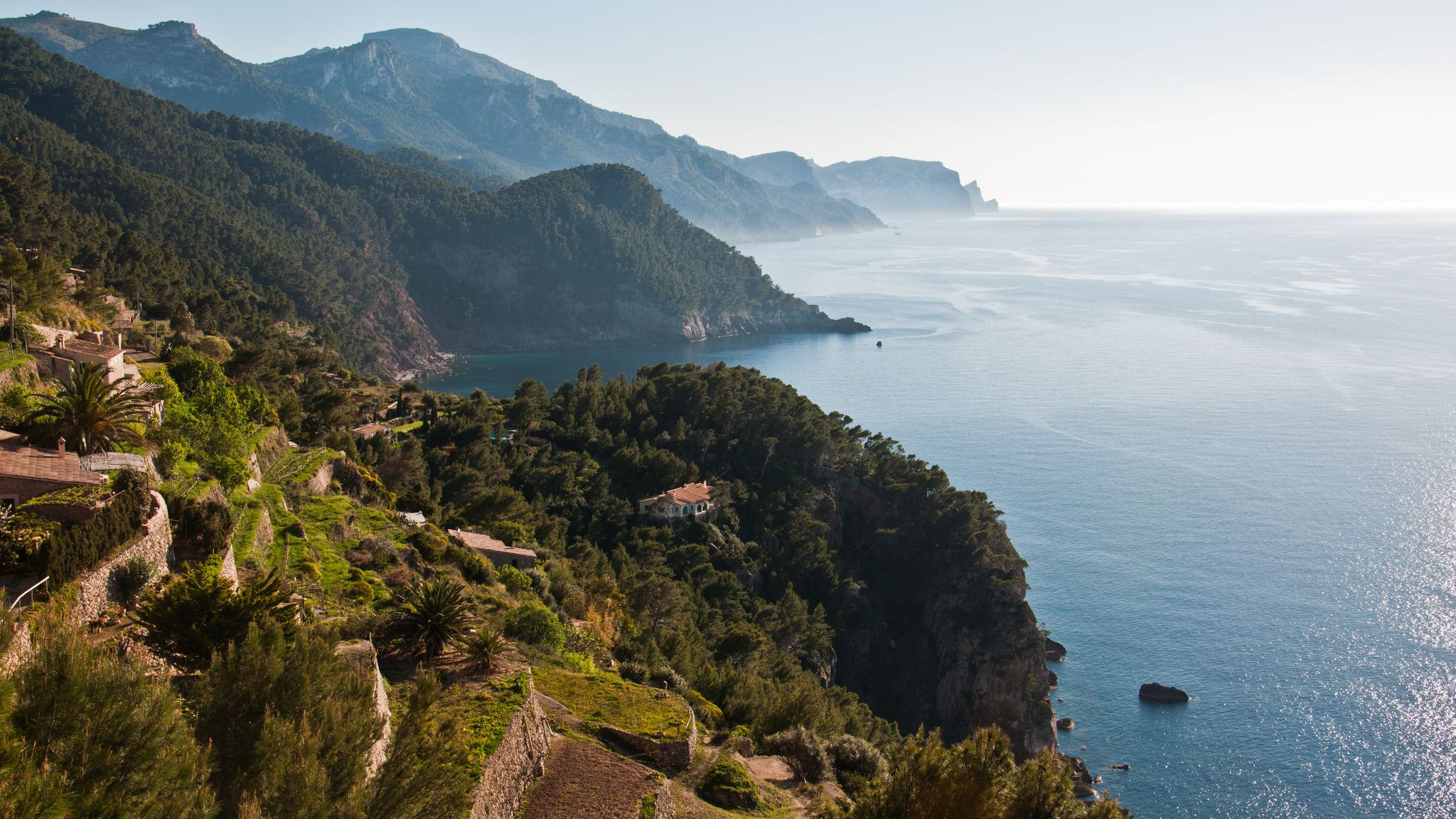
Mountaineering routes in S Albufera de Mallorca are primarily found in the nearby Serra de Tramuntana mountain range, which borders the region. This area is characterized by rugged limestone peaks, dramatic cliffs, and deep gorges. The landscape features a mix of dense Mediterranean forests and ancient terraced slopes, offering varied terrain for ascents and descents.
Best mountaineering routes in S Albufera De Mallorca
- The most popular mountaineering route is View of Coll Baix loop from Alcúdia, a 9.1 miles…
Last updated: July 10, 2026
6
hikers
Moderate mountaineering route. Good fitness required. Mostly accessible paths. Sure-footedness required.
4.3
(3)
14
hikers
13.9km
04:55
510m
510m
Moderate mountaineering route. Good fitness required. Mostly accessible paths. Sure-footedness required.

Sign up for free
2
hikers
Moderate mountaineering route. Good fitness required. Mostly accessible paths. Sure-footedness required.
4.9
(9)
24
hikers
Moderate mountaineering route. Good fitness required. Mostly accessible paths. Sure-footedness required.
4.0
(1)
6
hikers
Moderate mountaineering route. Good fitness required. Mostly accessible paths. Sure-footedness required.
Get access to more routes and recommendations from other explorers.
Sign up for free
Already have an account?
Our route recommendations are based on thousands of hikes, rides, and runs completed by other people on komoot.
Start today with a free account
Your next adventure awaits.
Login or Signup

Other adventures in S Albufera De Mallorca

Tips from the Community

The beautiful trail below the Talaia d'Alcúdia leads through Mediterranean scrub and light pine forests with consistently beautiful views of the Bay of Alcúdia. Compared to the summit ascent, it runs more calmly and evenly, while remaining very scenically appealing. A pleasant alternative for everyone who wants to enjoy nature and panoramas without exposed sections.
3
0

We were here and did a circular hike across the Alcúdia peninsula (Talaia d'Alcúdia and Penya des Migdia). Impressive!
0
0
We were here and did a circular hike across the Alcúdia peninsula (Talaia d'Alcúdia and Penya des Migdia). Impressive!
0
0
We were here and did a circular hike across the Alcúdia peninsula (Talaia d'Alcúdia and Penya des Migdia). Impressive!
0
0
We were here and did a circular hike across the Alcúdia peninsula (Talaia d'Alcúdia and Penya des Migdia). Impressive!
0
0
We were here and did a circular hike across the Alcúdia peninsula (Talaia d'Alcúdia and Penya des Migdia). Impressive!
0
0

I recommend it to you 👁️👁️
1
0

Beautiful beach, very popular in summer.
4
0
Frequently Asked Questions
Where can I find mountaineering routes in the S'Albufera de Mallorca region?
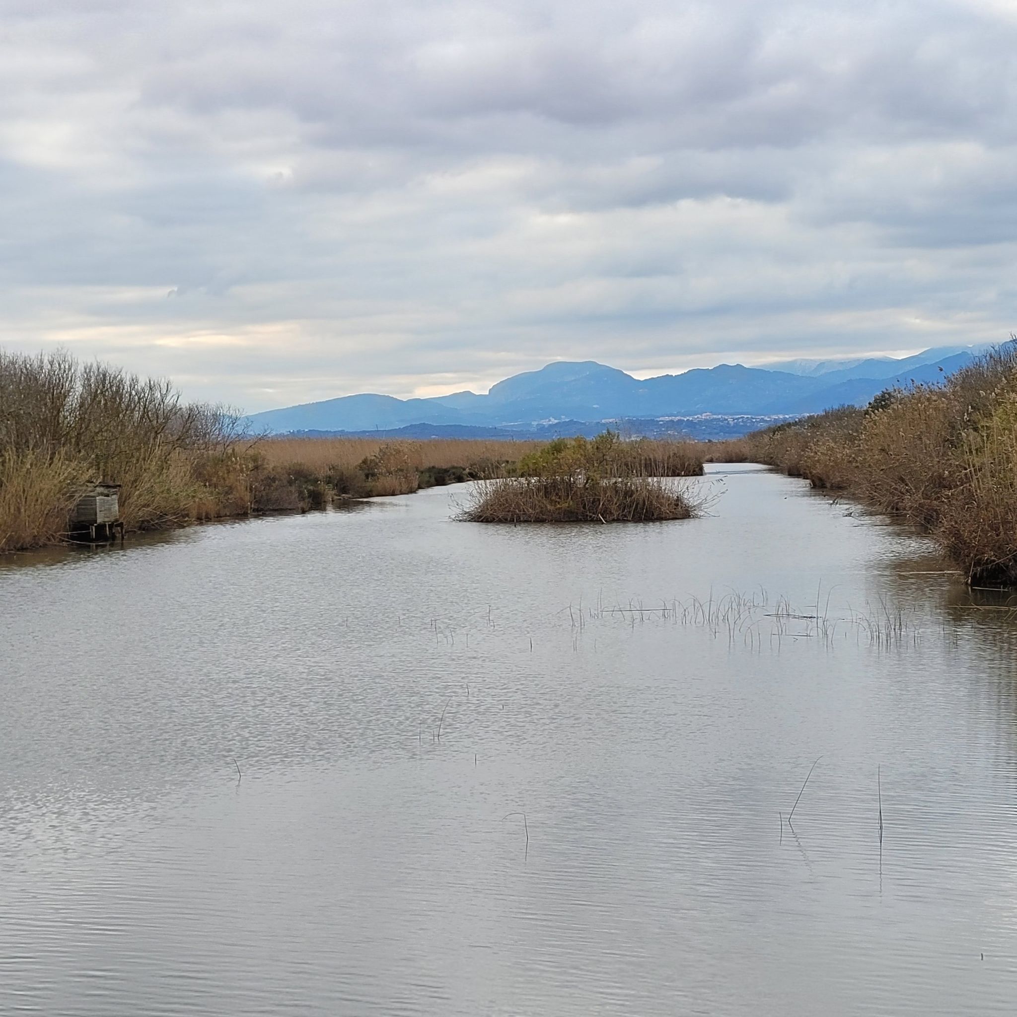
While S'Albufera Natural Park itself is a flat wetland, the mountaineering routes in this region are primarily located in the nearby Serra de Tramuntana mountain range. This range, a UNESCO World Heritage site, offers rugged limestone peaks, dramatic cliffs, and varied terrain for ascents and descents.
What types of mountaineering routes are available in the S'Albufera de Mallorca area?
The region offers a mix of moderate and difficult mountaineering routes. You'll find trails with significant elevation gain, coastal views, and paths through Mediterranean forests. For example, the View of Coll Baix loop from Alcúdia is a moderate 14.6 km route with panoramic coastal views.
Are there any circular mountaineering routes in the S'Albufera de Mallorca region?
Yes, several routes are circular. A popular moderate option is the View of Platja des Coll Baix – Coll Baix Refuge loop from Bonaire, which is 12.4 km long and features significant elevation gain with views of the sea and a refuge.
What are some challenging mountaineering routes in the area?
For those seeking a challenge, routes like the Foot of Talaia d'Alcúdia – Ermita de la Victoria loop from Racó de ses Barreres offer a good workout. This 8.8 km route involves over 400 meters of elevation gain and provides stunning views of Pollença and Alcúdia Bays.
What kind of natural landmarks or viewpoints can I expect to see on these routes?
The mountaineering routes often provide breathtaking views of the coastline, the Serra de Tramuntana peaks, and the sea. While the routes are in the mountains, you're also close to the S'Albufera Natural Park, where you can find natural monuments like S'Albufera Natural Park itself, and viewpoints such as Mirador de s'Amarador.
What do other mountaineers enjoy most about the routes in this region?
The routes in the S'Albufera de Mallorca region are highly rated by the komoot community, with an average score of 4.7 stars. Reviewers often praise the panoramic coastal views, the challenging ascents, and the diverse landscapes ranging from dry riverbeds to forested areas.
Are there any shorter or less strenuous mountaineering options available?
Yes, there are moderate routes that are shorter. The Shaded trail along the dry riverbed (Sa Barrera des Coll Baix) – Coll de na Benet loop from Bonaire is an 8.3 km trail that leads through a dry riverbed and forested areas, typically completed in about 2 hours 37 minutes.
What is the best time of year for mountaineering in S'Albufera de Mallorca?
The Serra de Tramuntana, being a Mediterranean mountain range, is generally best for mountaineering during the spring (March to May) and autumn (September to November) months. During these periods, temperatures are milder, and the weather is more stable, making for more comfortable and safer ascents. Summers can be very hot, and winters can bring cooler temperatures and occasional rain.
Are there any specific permits required for mountaineering in the Serra de Tramuntana?
Generally, permits are not required for hiking on established trails in the Serra de Tramuntana. However, some private estates or specific protected areas might have restrictions or require prior permission. It's always advisable to check local regulations for any specific route you plan to undertake, especially if it deviates from well-known paths.
Can I find parking near the starting points of these mountaineering routes?
Many trailheads in the Serra de Tramuntana, particularly those near towns like Alcúdia or Bonaire, offer designated parking areas. It's recommended to check the specific route details on komoot for information on parking availability at the starting point of your chosen tour.
Are there any routes that offer a mix of shaded and open terrain?
Yes, some routes provide varied terrain. For instance, the View of Coll Baix – Coll Baix Refuge loop from puig d'en Vauma offers a mix of open sections with expansive views and parts that may pass through forested areas, providing some shade.
Is public transport available to reach the mountaineering trailheads?
Public transport options, primarily buses, connect many towns and villages around the Serra de Tramuntana. While some trailheads might be directly accessible, others may require a short walk or taxi ride from the nearest bus stop. Planning your route in advance and checking local bus schedules is recommended.
Most popular routes in S Albufera De Mallorca
Most popular attractions in S Albufera De Mallorca

Get inspired with the komoot mobile app


Explore more
Browse the best Mountain Hikes & Routes in other regions.
