The best walks and hikes in Calblanque, Monte De Las Cenizas Y Peña Del Águila
4.4
(1252)
7,721
hikers
59
hikes
Hiking in Calblanque, Monte De Las Cenizas Y Peña Del Águila offers diverse landscapes, transitioning from sandy beaches and secluded coves to arid mountains, rugged hills, and pine forests. This protected natural park in the Murcia Region of Spain features varied topography, including impressive fossil dunes and volcanic formations. The area is also home to the Salinas del Rasall, important salt flats for wildlife.
Best hiking trails in Calblanque, Monte De Las Cenizas Y Peña Del Águila
- The most popular hiking route is Regional Park of Calblanque — Tour of Cabezo de la Fuente (PR-MU 1), a 7.5 miles (12.1 km) trail that takes 3 hours 27 minutes to complete. This moderate route explores the diverse terrain of the natural park.
- Another top favourite among local hikers is The Mountain of Ashes (Circular GR 92 & PR-MU 2), a difficult 7.9 miles (12.7 km) path. This route ascends to the Monte de las Cenizas, offering panoramic views and passing historical military structures.
- Local hikers also love the Punta Negra Viewpoint – Cala de los Déntoles loop from Cala Arturo, a 3.6 miles (5.9 km) trail leading through coastal landscapes, often completed in about 1 hour 38 minutes.
- Hiking in Calblanque, Monte De Las Cenizas Y Peña Del Águila is defined by sandy beaches, rugged hills, and volcanic landscapes. The network offers options for different ability levels, from gentle coastal walks to more challenging ascents.
- The routes in Calblanque, Monte De Las Cenizas Y Peña Del Águila are highly rated by the komoot community with an average score of 4.6 stars from over 400 reviews. More than 2,500 hikers have used komoot to explore Calblanque, Monte De Las Cenizas Y Peña Del Águila's varied terrain.
Last updated: July 17, 2026
4.7
(86)
348
hikers
12.1km
03:52
350m
350m
Moderate hike. Good fitness required. Mostly accessible paths. Sure-footedness required.
4.7
(6)
23
hikers
12.7km
04:30
480m
480m
Hard hike. Good fitness required. Sure-footedness, sturdy shoes and alpine experience required.

Sign up for free
4.7
(95)
409
hikers
12.1km
03:21
210m
210m
Moderate hike. Good fitness required. Easily-accessible paths. Suitable for all skill levels.
4.7
(44)
425
hikers
5.85km
01:38
110m
110m
Easy hike. Great for any fitness level. Easily-accessible paths. Suitable for all skill levels.
4.6
(38)
415
hikers
6.56km
01:55
180m
180m
Easy hike. Great for any fitness level. Easily-accessible paths. Suitable for all skill levels.
Get access to more routes and recommendations from other explorers.
Sign up for free
Already have an account?
Our route recommendations are based on thousands of hikes, rides, and runs completed by other people on komoot.
Start today with a free account
Your next adventure awaits.
Login or Signup
Popular around Calblanque, Monte De Las Cenizas Y Peña Del Águila
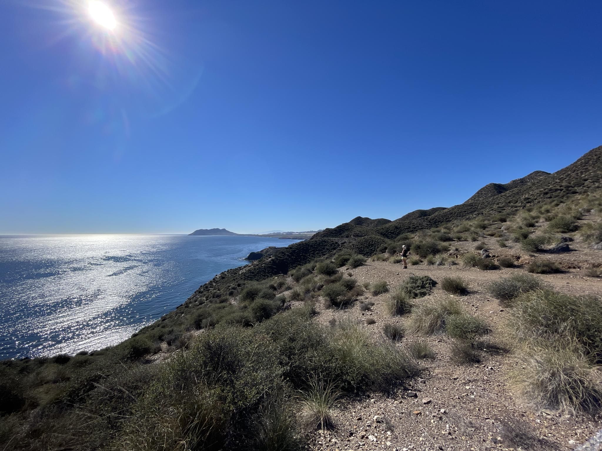
Mediterranean industry and nature – hike the GR 92 in Murcia
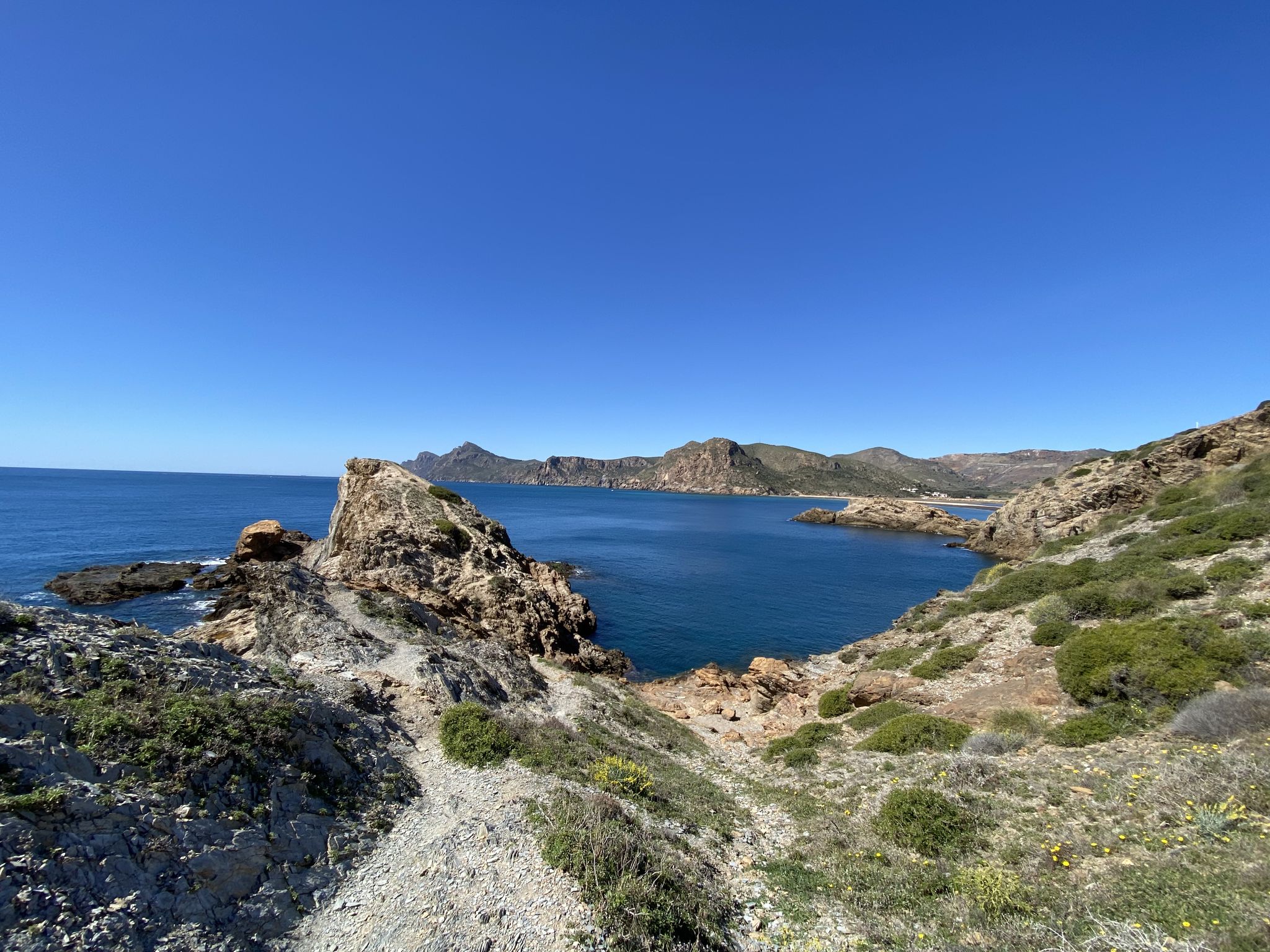
Walk among volcanoes and cliffs – Cape Palos and Calblanque
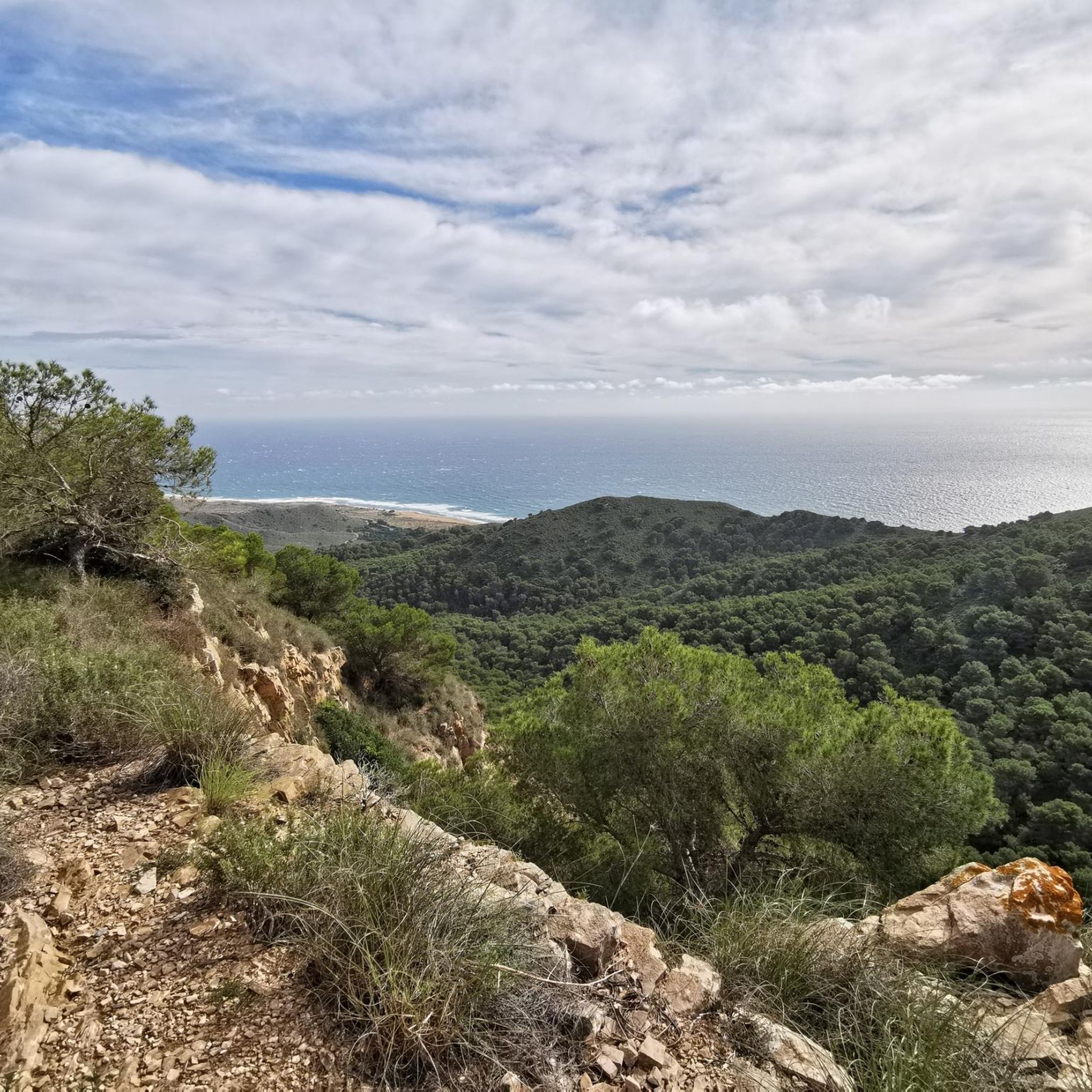
Cycling in Calblanque, Monte De Las Cenizas Y Peña Del Águila
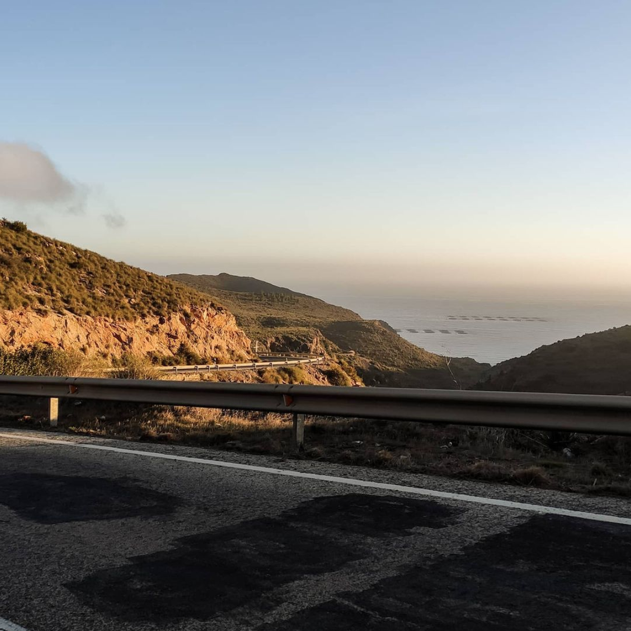
Road Cycling Routes in Calblanque, Monte De Las Cenizas Y Peña Del Águila
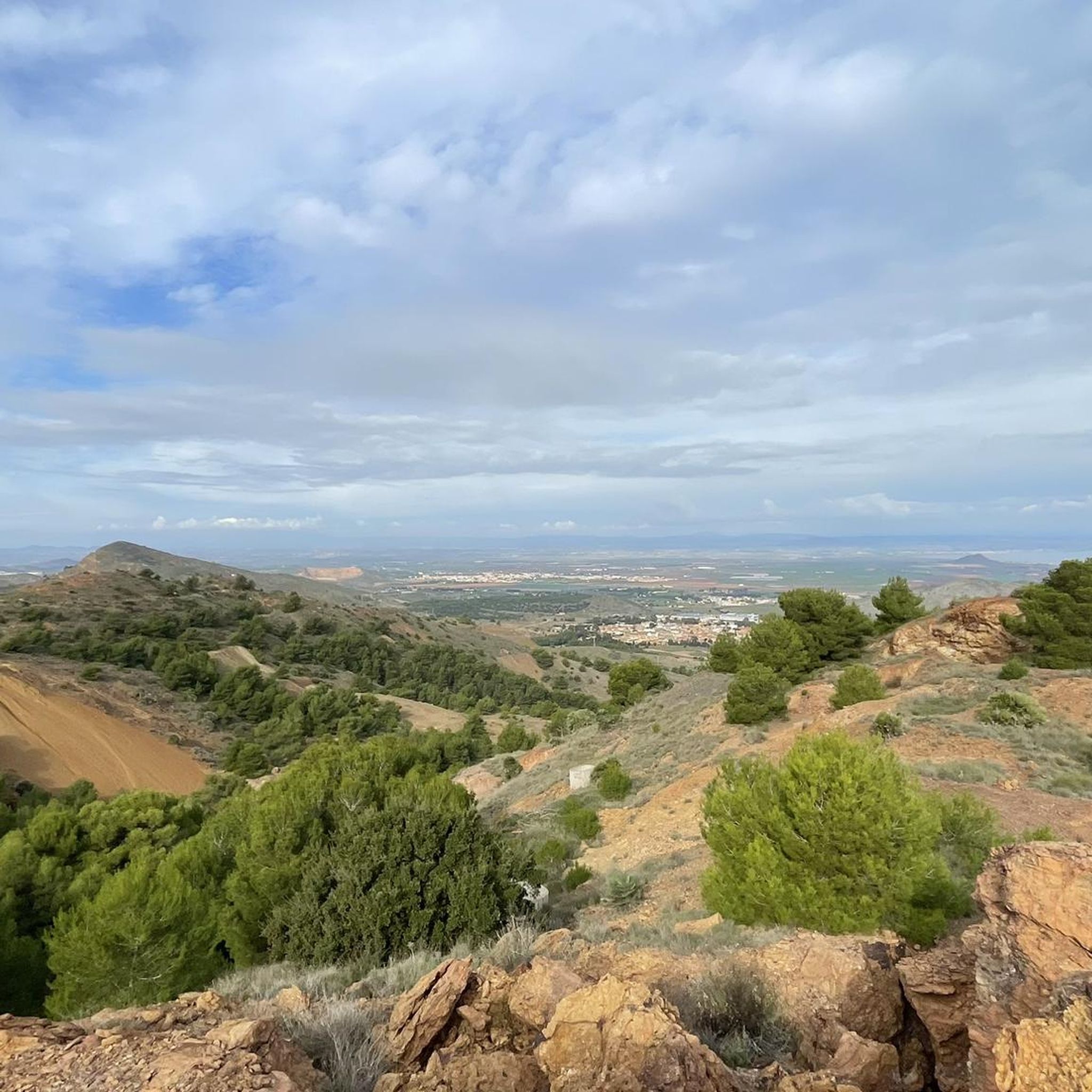
Running Trails in Calblanque, Monte De Las Cenizas Y Peña Del Águila
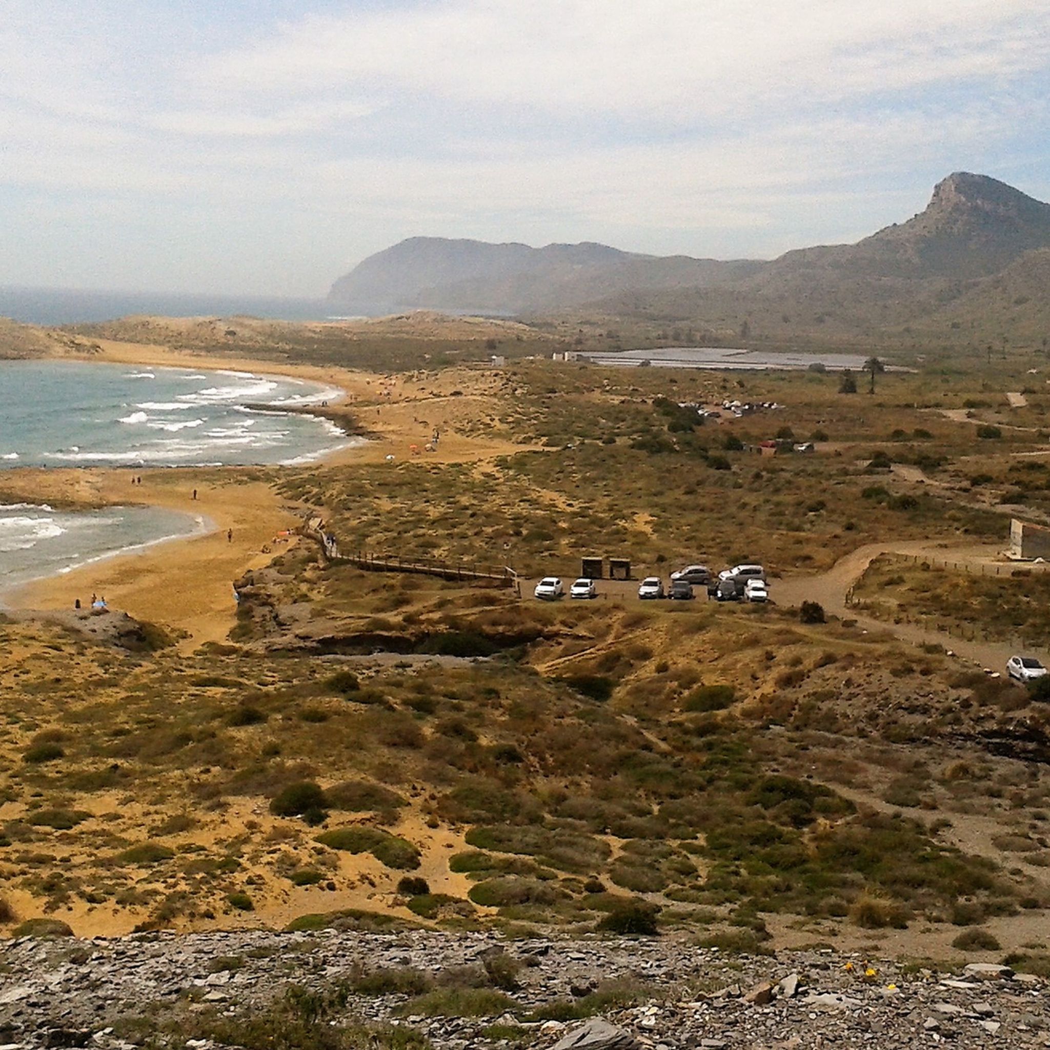
MTB Trails in Calblanque, Monte De Las Cenizas Y Peña Del Águila

Gravel biking in Calblanque, Monte De Las Cenizas Y Peña Del Águila
Other adventures in Calblanque, Monte De Las Cenizas Y Peña Del Águila


Tips from the Community

El Cabezo de la Fuente rises above the Calblanque regional park and offers wide views of the coastline and the Mediterranean Sea. Its surroundings combine Mediterranean scrubland, ancient crops, and coastal reliefs.
0
0

From its 320 m you have an incredible 365º view.
0
0

Park Calblanque is probably the best Natural Park to visit in Murcia. It is near to Cartagena, which in itself is worth a visit to enjoy the vibrant town and Roman history. Park Calblanque has stunning natural beaches. sand dunes and a wild coastline. Highly recommended.
0
0

Beautiful lost place, well preserved
0
0
From Cala Reona to Calblanque, a real treat. Enjoy the journey, my friend!
0
0
Esta playa te sorprenderá por su belleza. Cercana al aparcamiento de Cobaticas
1
0

There is an ancient spring here. The rain dissolves the dolomite rocks in the cliffs and creates cracks. The water trickles down and a geological spring is created. The surrounding inhabitants use water from the Fuente Grande (Great Spring). There is also a trough from which the mules used to drink.
0
0
The beach is about 1000 meters from a public car park. It is located in a small bay surrounded by rocks, which can be reached via an unpaved footpath through the grounds.
1
0
Frequently Asked Questions
How many hiking trails are there in Calblanque, Monte De Las Cenizas Y Peña Del Águila?
The region offers over 60 hiking trails, catering to various fitness levels. You'll find a diverse range of routes, from gentle coastal walks to more challenging ascents through rugged hills and mountains.
What is the best time of year to go hiking in Calblanque, Monte De Las Cenizas Y Peña Del Águila?
The best time for hiking is typically outside the peak summer months. Spring and autumn offer pleasant temperatures and lush landscapes, while winter can also be suitable with mild weather. During summer, access by private car is restricted to preserve the park's natural charm, with a bus service in place.
Are there any family-friendly hiking routes in the park?
Yes, there are several easy routes suitable for families. For example, the Punta Negra Viewpoint – Cala de los Déntoles loop from Cala Arturo is an easy 3.6-mile (5.9 km) trail that takes about 1 hour 38 minutes, offering beautiful coastal views.
Can I bring my dog on the hiking trails?
While the park is a natural area, specific rules regarding dogs on trails can vary. It's generally advisable to keep dogs on a leash to protect the local wildlife, which includes migratory birds, foxes, and various endemic species. Always check local signage for any specific restrictions.
Are there any circular hiking routes in Calblanque, Monte De Las Cenizas Y Peña Del Águila?
Yes, the park features several circular routes. A notable one is The Mountain of Ashes (Circular GR 92 & PR-MU 2), a challenging 7.9-mile (12.7 km) path that offers panoramic views and passes historical military structures. Another option is the easy Viewpoint of Portman Bay – Cenizas Coastal Battery loop from Urbanización Campo de Golf.
What kind of wildlife and flora can I expect to see?
The park is a sanctuary for diverse flora and fauna. You might spot migratory birds, flamingos, foxes, and even sea turtles. Endemic species like the Cartagena cypress and Cartagena rockrose contribute to the park's unique botanical richness. Eagles, eagle owls, and peregrine falcons are also present.
What are some notable viewpoints or landmarks to discover?
The park is rich in scenic viewpoints and historical landmarks. The Mirador de Cenizas offers panoramic views of the coastline, including Mar Menor and La Manga. You can also explore historical sites like the La Chapa Battery and Portmán Lighthouse, or remnants of military structures and mining heritage.
How can I reach the hiking trails using public transport?
During the summer months, access to the park by private car is restricted, and a bus service is implemented to help preserve the natural environment. It's recommended to check local public transport schedules for the most up-to-date information on bus routes and stops serving the park's trailheads.
Are there any permits required for hiking in Calblanque, Monte De Las Cenizas Y Peña Del Águila?
Generally, no specific hiking permits are required for day hikes within the regional park. However, during peak seasons, particularly summer, vehicle access to certain areas may be restricted, and a bus service is provided. Always respect park regulations and signage.
What do other hikers enjoy most about the trails in this region?
The trails in Calblanque, Monte De Las Cenizas Y Peña Del Águila are highly rated by the komoot community, with an average score of 4.6 stars from over 400 reviews. Hikers often praise the diverse landscapes, from sandy beaches and secluded coves to rugged mountains, and the opportunity to explore historical military structures and enjoy breathtaking coastal views.
Are there any easy routes for beginners?
Yes, there are 22 easy routes available. A good option for beginners is the Punta Negra Viewpoint – Cala de los Déntoles loop from Cala Arturo, which is relatively short and offers beautiful scenery without significant elevation gain.
What kind of terrain can I expect on the trails?
The terrain is remarkably diverse, transitioning from sandy beaches and impressive fossil dunes along the coast to arid mountains, rugged hills, and areas of pine forest further inland. Volcanic activity has also sculpted unique rock formations, providing a varied and engaging hiking experience.
Most popular routes in Calblanque, Monte De Las Cenizas Y Peña Del Águila
Most popular attractions in Calblanque, Monte De Las Cenizas Y Peña Del Águila

Get inspired with the komoot mobile app


Explore more
Browse the best Hikes in other regions.
