The best road cycling routes around Personico
4.6
(74)
2,496
riders
27
rides
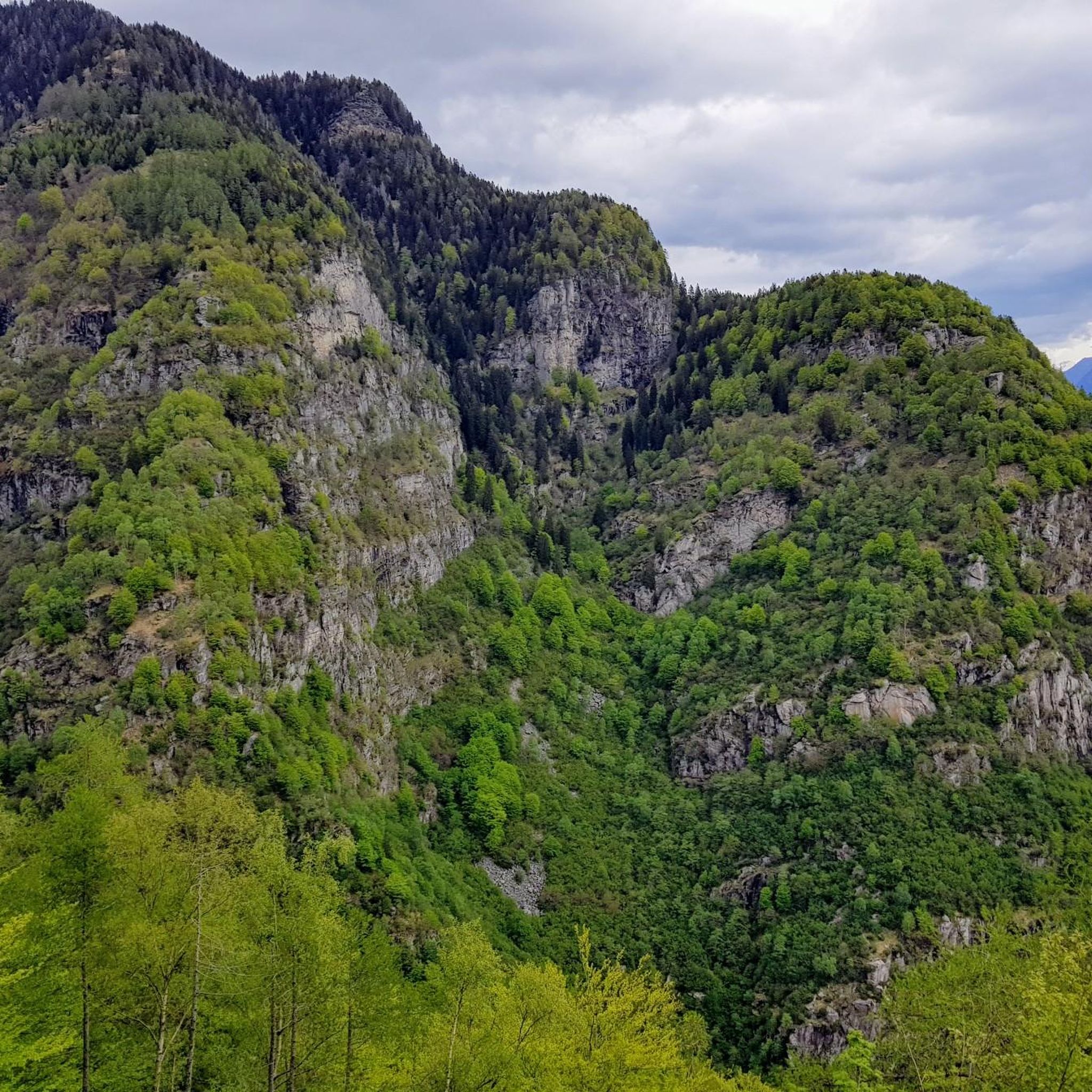
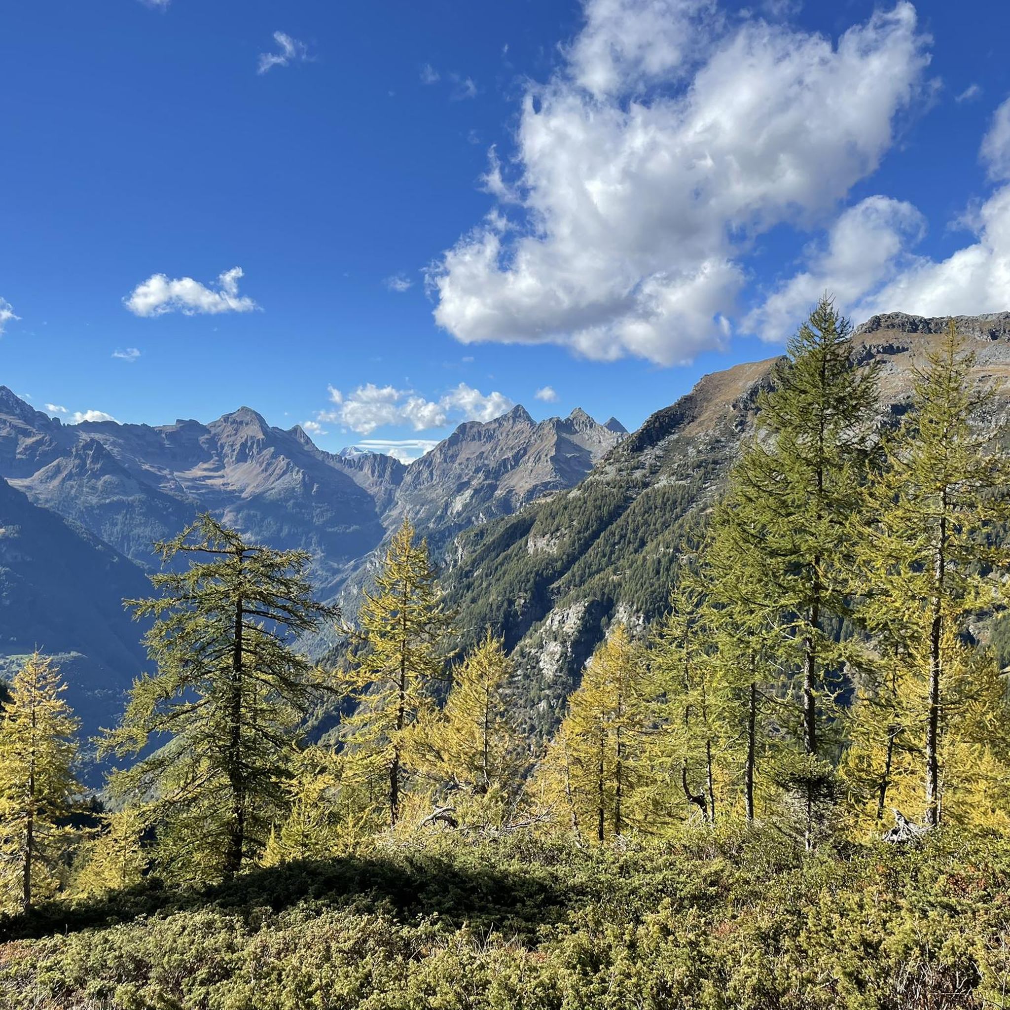
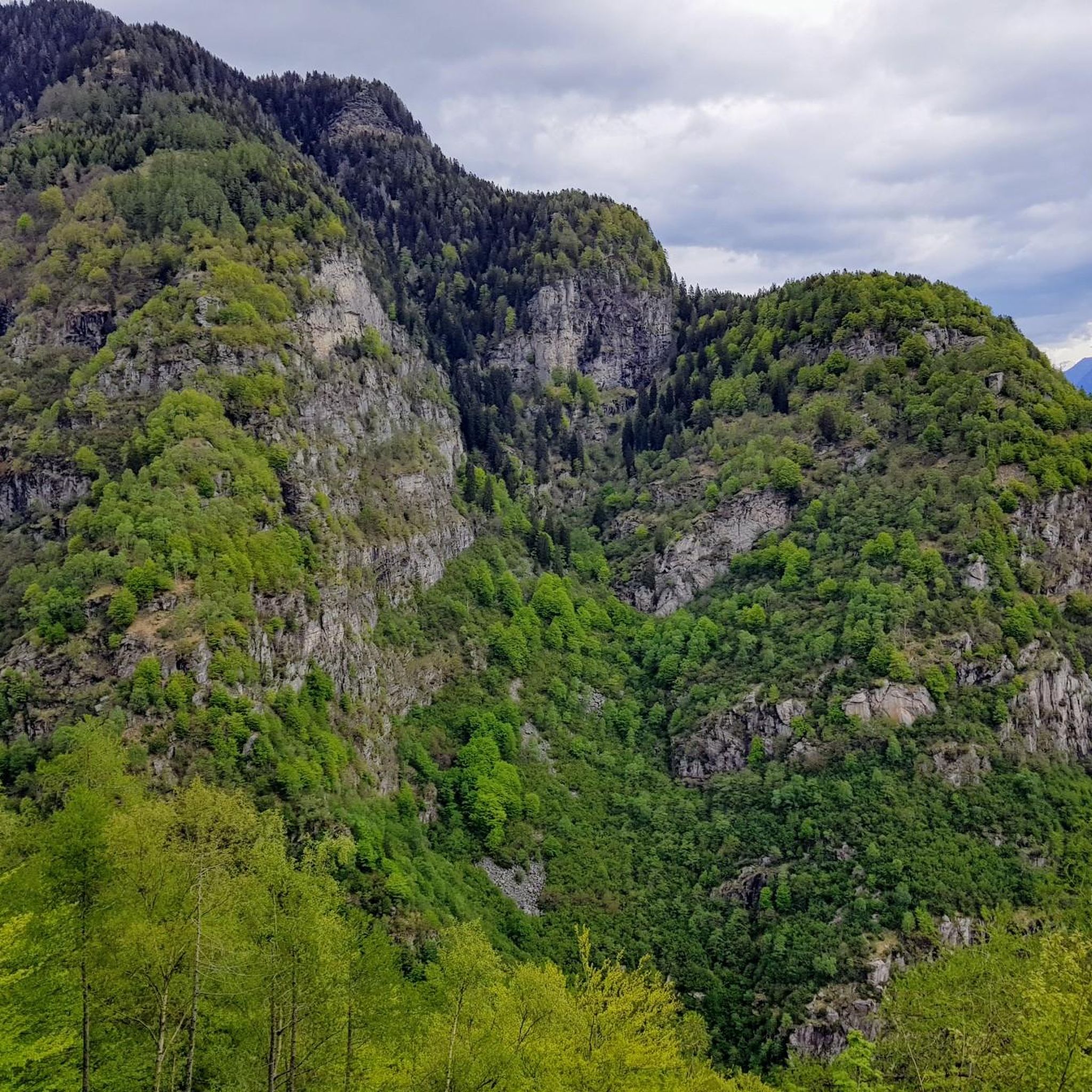
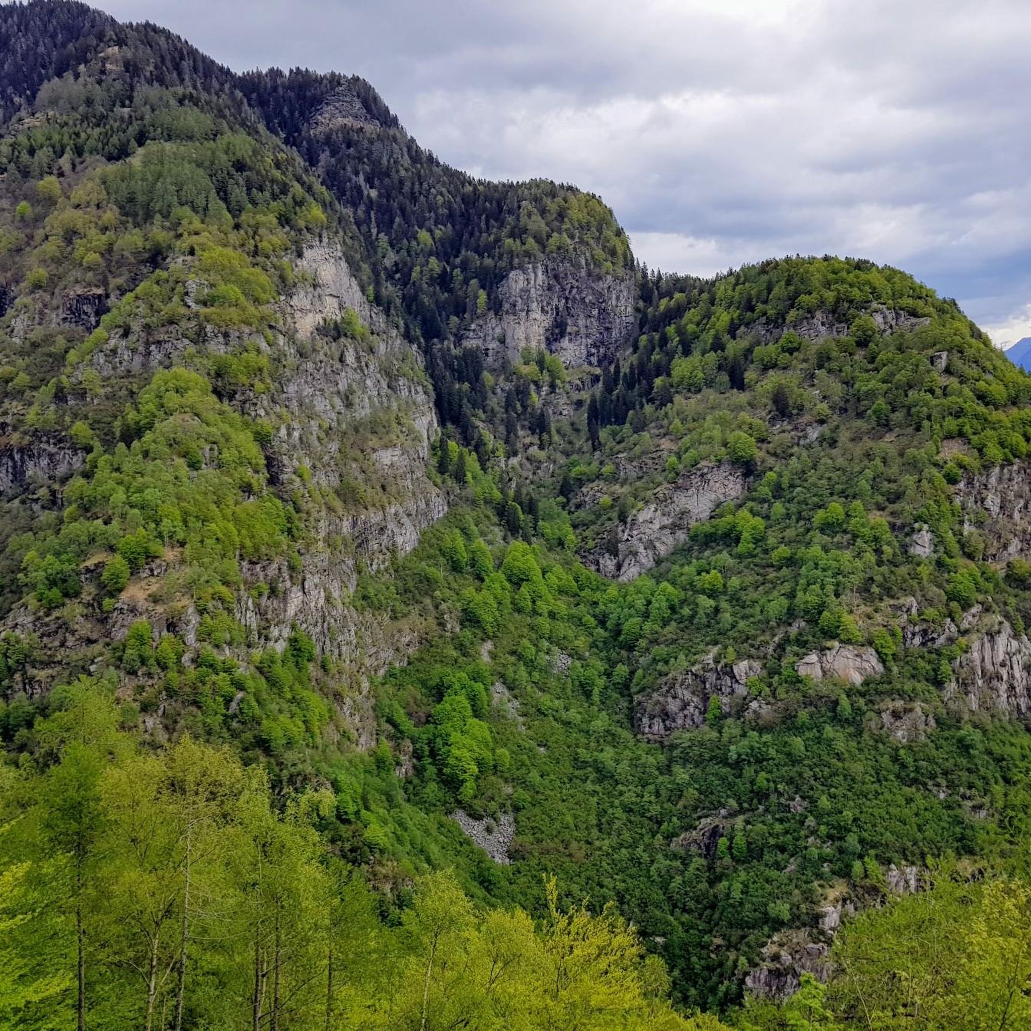
Road cycling routes around Personico traverse the Leventina Valley, characterized by significant elevation changes and views towards major Alpine passes. The region features a mix of valley roads and ascents, offering diverse terrain for road cyclists. Roads often follow river courses and wind through small villages, providing varied cycling experiences. The landscape is shaped by its mountainous surroundings and river valleys.
Best road cycling routes around Personico
- The most popular road cycling route is North-South Route: Leventina Valley Loop,…
Last updated: July 8, 2026
45
riders
107km
06:42
2,750m
2,750m
This difficult 66.2-mile (106.6 km) road cycling loop through Switzerland's Leventina Valley features 9020 feet (2749 metres) of elevation g
4.4
(14)
523
riders
105km
06:05
2,000m
2,000m
Hard road ride. Very good fitness required. Mostly well-paved surfaces and easy to ride.

Sign up for free
4.5
(2)
343
riders
104km
04:20
640m
640m
Moderate road ride. Good fitness required. Mostly well-paved surfaces and easy to ride.
4.8
(8)
172
riders
124km
06:44
2,410m
2,410m
Hard road ride. Very good fitness required. Mostly well-paved surfaces and easy to ride.
4.0
(1)
77
riders
69.4km
04:04
1,630m
1,630m
Hard road ride. Very good fitness required. Mostly well-paved surfaces and easy to ride.
Get access to more routes and recommendations from other explorers.
Sign up for free
Already have an account?
Our route recommendations are based on thousands of hikes, rides, and runs completed by other people on komoot.
Start today with a free account
Your next adventure awaits.
Login or Signup
Tips from the Community

On a guided tour, you can learn about the art of wine production at Cantina Settemaggio in Giornico. In the family-run business, skills and knowledge are passed down from generation to generation. More information can be found here: https://www.bellinzonaevalli.ch/de/commons/details/Cantina-Settemaggio/153942.html.
0
0

Leave your bike at the Dazio Grande and with a short detour in a few minutes you will be at the Gole del Piottino, an incredible canyon with walls tens of meters high
0
0

At 2,478 meters above sea level, the Nufenen Pass (Nufenenpass in German) connects the Goms Valley in the upper Valais with the Bedretto Valley in the upper Ticino. From Airolo, the climb is approximately 22 kilometers (average gradient 5.6%), while from Ulrichen it is shorter but more challenging: 14 kilometers at an average gradient of approximately 7.9%.
0
0

St. Gotthard Pass The Gotthard Pass divides waterways and connects various cultural and linguistic areas. Its significance as an "Alpine transversal" began at the beginning of the 13th century with the construction of the legendary Devil's Bridge in the Schöllenen Gorge. For many centuries, trade caravans (trading cattle and cheese for grain, wine, rice, and salt), mercenaries, messengers, and even entire armies crossed the pass. Between 1818 and 1836, the canton of Uri, with the help of other cantons, expanded the pass road, thus achieving its predominance among Swiss Alpine passes. The Gotthard Pass has significantly shaped the economy and culture of Central Switzerland for centuries. Until the opening of the Gotthard Railway in 1882, the Gotthard Pass was also used in winter. Dozens of roadmen and shovel workers were employed for this purpose. In 1922, the post bus replaced the stagecoach, and with the introduction of gasoline duties in 1923, the expansion of the pass roads began, continuing to this day. The old pass road on the south side, the Tremola between the top of the pass and Airolo, is still preserved and passable. This stretch of road recalls more tranquil journeys over the Gotthard that occurred not so long ago. In the 19th and 20th centuries, the Gotthard Pass was "condensed" into a myth, a symbol of Switzerland's independence, unity, and identity. Text / Source: Interest Group for Alpine Passes IAP, PO Box 11, 6491 Realp https://alpen-paesse.ch/de/alpenpaesse/gotthardpass
15
1

Giornico's geographical position, at the foot of the Biaschina gorge and at the beginning of the Ticino valley's alluvial plain, has made this location a fundamental place for centuries for activities related to transit along the Saint Gotthard route. In front of you, below, are the two arched or donkey-back bridges that give access to the island on the Ticino river. On the right side of the Valley stand out: the Parish Church of San Michele, the Church of San Nicola (or San Nicolao) and, on the hill, the Church of Santa Maria del Castello.
0
0

Shopping opportunities
0
0
Frequently Asked Questions
How many road cycling routes are available in Personico, and what are their difficulty levels?
Personico offers a diverse selection of nearly 30 road cycling routes. These include 6 easy routes, 11 moderate routes, and 11 difficult routes, providing options for various skill levels and preferences.
Are there road cycling routes suitable for beginners or families in Personico?
Yes, Personico features several road cycling routes suitable for beginners or families. There are 6 easy routes that generally follow the valley floor, offering less demanding terrain and a more relaxed cycling experience. These routes often provide gentle gradients and scenic views without significant climbs.
What kind of challenges can I expect on road cycling routes around Personico?
Road cycling around Personico is characterized by significant elevation changes, as routes traverse the Leventina Valley and ascend towards major Alpine passes. You can expect substantial climbs and descents, particularly on the 11 difficult routes available. These challenging paths offer rewarding views and test your endurance.
Can I find long-distance road cycling routes in the Personico area?
Absolutely. The region is ideal for long-distance road cycling. For example, the North-South Route: Leventina Valley Loop is a challenging 66.2-mile (106.6 km) route, while the Giornico Village – View of Nufenen Pass loop from Biasca extends over 76 miles (123 km), offering extensive rides through varied landscapes.
Are there any circular road cycling routes available in Personico?
Many of the road cycling routes in Personico are designed as loops, allowing you to start and finish in the same location. Popular circular routes include the North-South Route: Leventina Valley Loop and the Giornico Village – Guex Monument at Gotthard Pass loop from Biasca, both offering extensive circular tours.
What are some scenic viewpoints or attractions along the road cycling routes in Personico?
As you cycle through Personico, you'll encounter stunning views of the Leventina Valley and surrounding mountains. Routes often pass through charming villages and along river courses. You can also explore historical sites like Serravalle Castle or the Santa Maria del Castello Church Ruins. For a unique experience, consider visiting the Püscen Negro Alp Village.
What is the best time of year for road cycling in Personico?
The best time for road cycling in Personico is typically from late spring to early autumn (May to October). During these months, the weather is generally mild, and the mountain passes are clear of snow, offering optimal conditions for exploring the diverse terrain of the Leventina Valley.
How can I reach the starting points of road cycling routes in Personico using public transport?
Personico and the surrounding Leventina Valley are accessible by public transport, primarily via train and bus services. The main train line connecting Bellinzona to Airolo runs through the valley, with stops at various villages near route starting points. Local bus services can also help you reach more remote areas. It's advisable to check the local transport schedules for specific connections to your chosen route's starting point.
Where can I park my car when starting a road cycling tour in Personico?
Parking is generally available in the villages throughout the Leventina Valley, including Personico itself and nearby towns like Biasca or Bodio, which serve as common starting points for many routes. Look for designated public parking areas, often near train stations or village centers. Always check local signage for any parking restrictions or fees.
Are there places to stop for refreshments or food along the road cycling routes?
Yes, as routes often wind through small villages in the Leventina Valley, you'll find opportunities to stop for refreshments. Many villages have local cafes, restaurants, or small shops where you can refuel. It's always a good idea to carry some snacks and water, especially on longer or more remote sections, but planned stops are definitely possible.
What do other cyclists say about road cycling in Personico?
The road cycling routes around Personico are highly regarded by the komoot community, boasting an average rating of 4.8 stars from over 60 reviews. Cyclists frequently praise the region's varied terrain, from challenging mountain ascents to scenic valley roads, and the stunning Alpine views. Many appreciate the well-maintained roads and the sense of accomplishment after tackling the significant elevation changes.
Are there any less-known or 'hidden gem' road cycling routes in the area?
While popular routes like the Leventina Valley Loop are well-loved, the extensive network of nearly 30 routes means there are many opportunities to discover quieter roads. Exploring the smaller side valleys or lesser-known ascents can lead to rewarding experiences away from the main thoroughfares, offering unique perspectives of the region's natural beauty and charming hamlets.
Most popular attractions around Personico

Get inspired with the komoot mobile app


Explore more
Browse the best Road cycling routes in other regions.
