The best walks and hikes in Sierra De Gredos
4.6
(994)
7,633
hikers
132
hikes
Hiking in Sierra De Gredos offers a diverse landscape characterized by impressive granite formations, glacial cirques, and alpine lakes. This protected natural area features rugged mountains, deep gorges, and varied ecosystems ranging from lower-elevation forests to high alpine meadows. The region's terrain is sculpted by ancient glacial forces, providing a unique environment for outdoor activities.
Best hiking trails in Sierra De Gredos
- The most popular hiking route is Laguna del Duque Trail, a 3.2 miles (5.1 km) trail that takes 2 hours 9 minutes to complete. This route leads to one of the region's significant glacial lakes.
- Another top favourite among local hikers is Senda de la Laguna de la Nava (PR-AV 39) desde Nava del Barco, a difficult 11.5 miles (18.5 km) path. This trail offers extensive views of the high mountain landscape.
- Local hikers also love the Laguna de la Nava y Laguna del Barco, a 16.8 miles (27.0 km) trail leading through glacial valleys and past high-altitude lakes, often completed in about 10 hours 50 minutes.
- Hiking in Sierra De Gredos is defined by granite peaks, glacial cirques, and deep gorges with waterfalls. The extensive network of hiking trails offers options for various ability levels, from easy walks to challenging mountain ascents.
- The routes in Sierra De Gredos are highly rated by the komoot community with an average score of 4.6 stars from over 500 reviews. More than 4000 hikers have used komoot to explore Sierra De Gredos's varied terrain.
Last updated: July 7, 2026
4.4
(5)
31
hikers
5.08km
02:09
240m
240m
Hike the 3.2-mile Laguna del Duque Trail to discover the largest glacial lake in Sierra de Gredos, with forest and mountain views.
4.4
(9)
69
hikers
Hard hike. Very good fitness required. Sure-footedness, sturdy shoes and alpine experience required.

Sign up for free
13
hikers
27.0km
10:52
1,280m
1,280m
Hard hike. Very good fitness required. Sure-footedness, sturdy shoes and alpine experience required.
5.0
(3)
26
hikers
Hard hike. Very good fitness required. Mostly accessible paths. Sure-footedness required.
4.0
(7)
15
hikers
4.88km
01:19
70m
60m
Easy hike. Great for any fitness level. Easily-accessible paths. Suitable for all skill levels.
Get access to more routes and recommendations from other explorers.
Sign up for free
Already have an account?
Our route recommendations are based on thousands of hikes, rides, and runs completed by other people on komoot.
Start today with a free account
Your next adventure awaits.
Login or Signup
Popular around Sierra De Gredos
Between lagoons and goat paths – hike in Spain’s Gredos Mountains

Height Challenges — Ports in Castilla y León
Las Cumbres Reinas de España — Spanish mountain trail races
MTB Trails in Sierra De Gredos
Running Trails in Sierra De Gredos
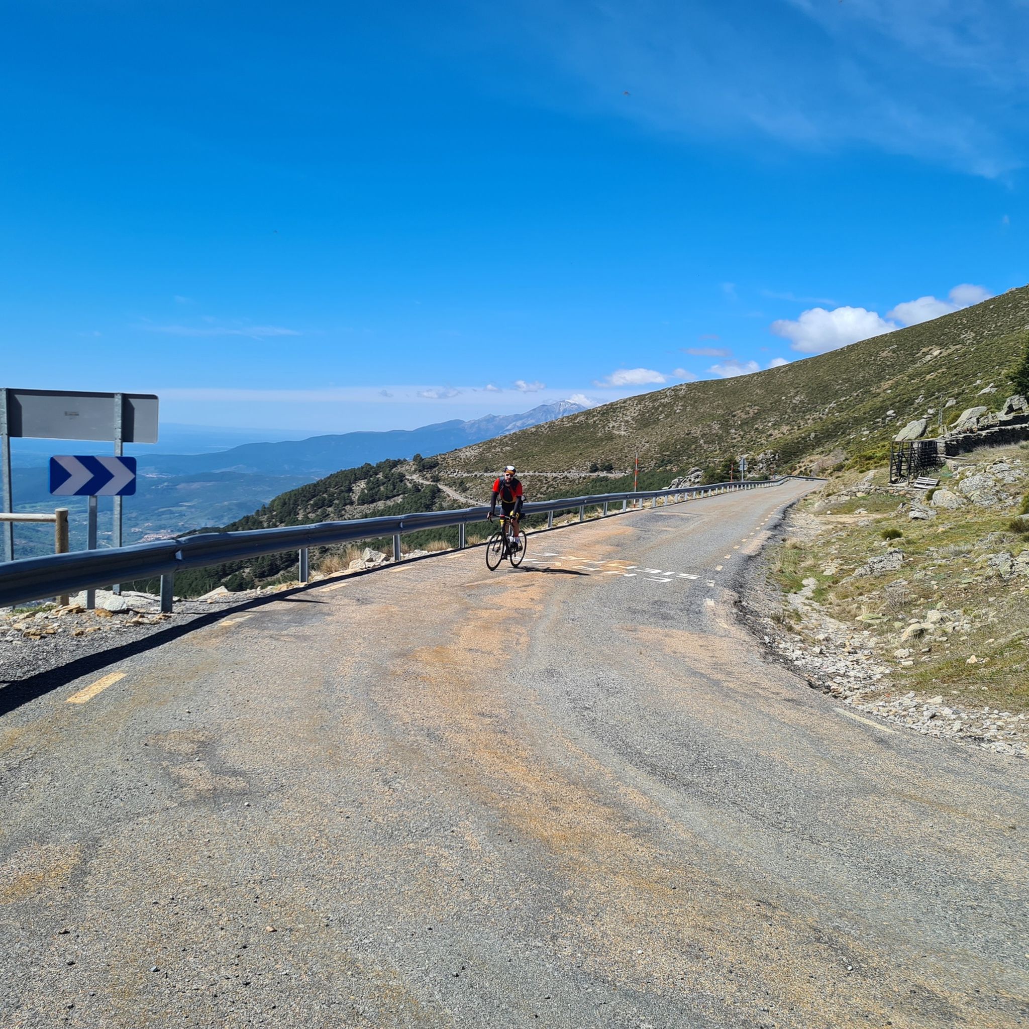
Road Cycling Routes in Sierra De Gredos
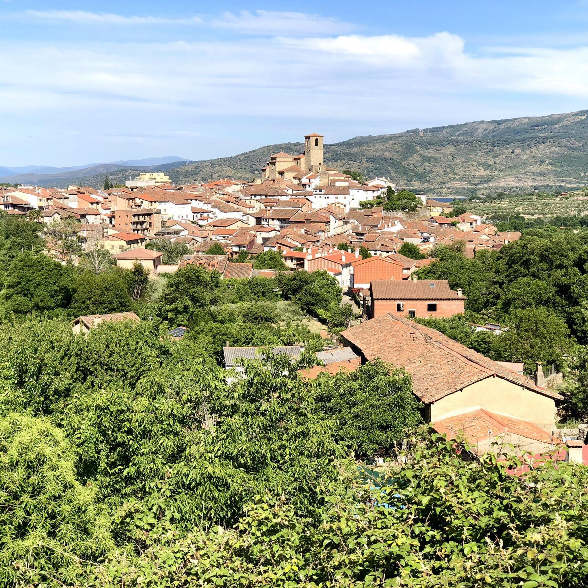
Cycling in Sierra De Gredos

Mountain Hikes in Sierra De Gredos

Gravel biking in Sierra De Gredos
Other adventures in Sierra De Gredos


Tips from the Community

Altitude 2,032 m. The ascent is from the Domingo Fernando platform. This route is of medium-high difficulty, approximately 13 km long and has a 1,000 m elevation gain. Well signposted. The trail dilutes at some points, but you can't get lost.
0
0

The Tormes River is a tributary of the Duero on its left bank, it runs through the Community of Castilla y León, crossing the provinces of Ávila, Salamanca and Zamora. The Tormes rises in the Tormejón meadow, in the Gredos mountain range. It feeds several reservoirs, the Santa Teresa and Villagonzalo reservoirs, the San Fernando reservoir and, close to its mouth in the Duero, the Almendra reservoir, where, sandwiched between rock walls, it forms the so-called arribes del Tormes.
1
0

The hiking route to Peón adapts to the contours of the mountain as elevation is gained. Incredible sense of awe at this mountain range and its views.
0
0
At 2,028 meters above sea level, this pass provides the strong and brave with a spectacular panoramic view and a hiking experience in the Sierra de Gredos Regional Park.
1
0

This lagoon is curious with respect to the rest since normally, glacial cirques tend to take a direction perpendicular to the ridge of the mountain, that is to say they descend in a north or south direction. This one, however, does it in an east direction, with the Covacha del Losar as the highest part!
0
1
Beautiful valley where the Río Tormes flows in its path and which leaves some idyllic postcard images.
1
0

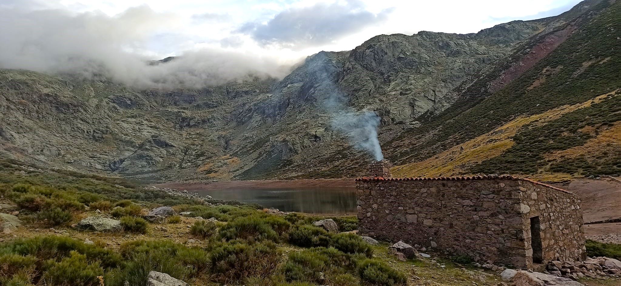
This small cabin has a fireplace but it is not guarded, so no type of service is offered. It is located next to the Nava gorge and has capacity for about three people. Not far away is the Losa shelter, which, unlike this one, has a wooden platform to sleep on with a mat and bag.
3
0
This impressive granite canyon offers incredible views of the rock formations along the course of the river. There are several waterfalls that fall at different heights and form pools of crystal clear water. This section is, for the most part, an adapted stone walkway that zigzags along the gorge. However, there are also parts of loose stones.
3
0
Frequently Asked Questions
What types of hiking trails can I find in Sierra de Gredos?
Sierra de Gredos offers a wide variety of hiking trails, from easy walks through forests and along rivers to challenging ascents to high mountain peaks. You'll find routes exploring glacial cirques, alpine lakes, and deep gorges. There are over 130 routes recorded on komoot, with 8 easy, 59 moderate, and 63 difficult options, ensuring something for every skill level.
Are there any easy or family-friendly hikes in Sierra de Gredos?
Yes, Sierra de Gredos has several easy trails suitable for families and beginners. For a gentle introduction to the region's beauty, consider the El Valle de Gredos — circular por el río Tormes, an easy 4.9 km circular route that takes about 1 hour 19 minutes. This trail meanders along the Tormes River, offering pleasant views without significant elevation gain.
Can I find circular hiking routes in Sierra de Gredos?
Absolutely. Many hikers enjoy circular routes for their varied scenery and return to the starting point. A notable circular option is the challenging Laguna de la Nava y Laguna del Barco, a 27.0 km trail that explores glacial valleys and high-altitude lakes, typically completed in about 10 hours 50 minutes.
What natural attractions or landmarks can I see while hiking in Sierra de Gredos?
Sierra de Gredos is rich in natural beauty. You can explore stunning glacial lakes like Laguna de la Nava and Laguna de los Caballeros, or even the dramatic Cirque of the Five Lagoons. The region also features impressive peaks such as Morezón Peak and the challenging Canchal de la Ceja. Many trails lead to these iconic spots, offering breathtaking views.
Are there any waterfalls or wild swimming spots in Sierra de Gredos?
Yes, the region's deep gorges, such as Garganta de los Infiernos and Garganta de los Caballeros, are known for their cascading waterfalls and crystal-clear natural pools. These spots are particularly popular for refreshing dips during the warmer months, offering a unique way to cool down after a hike.
What is the best time of year to go hiking in Sierra de Gredos?
The best time to hike in Sierra de Gredos generally depends on the altitude and your preferred conditions. Spring (April-June) brings wildflowers and pleasant temperatures, while autumn (September-November) offers vibrant foliage. Summer (July-August) is ideal for higher altitude treks and enjoying natural pools, though it can be hot at lower elevations. Winter hiking is possible but requires proper gear and experience due to snow and ice.
What kind of wildlife can I expect to see in Sierra de Gredos?
Sierra de Gredos is a designated nature reserve and a fantastic spot for wildlife viewing. Hikers frequently encounter the iconic Iberian ibex, especially in the higher, rocky areas. The park is also home to various bird species, including golden eagles and cinereous vultures, making it a popular destination for birdwatching.
What do other hikers say about the trails in Sierra de Gredos?
The trails in Sierra de Gredos are highly rated by the komoot community, with an average score of 4.6 stars from over 500 reviews. Hikers often praise the region's unspoiled nature, the dramatic glacial landscapes, and the extensive network of trails that cater to various fitness levels. Many appreciate the serene escape and the opportunity to enjoy trails away from crowds.
Are there any mountain huts or refuges along the trails in Sierra de Gredos?
Yes, for longer or multi-day treks, you can find mountain huts. For instance, the popular path from Plataforma de Gredos towards Laguna Grande offers access to the Elola Refuge – Laguna Grande de Gredos. Another option is the Laguna Grande Refuge, providing essential shelter and services for hikers in the high mountains.
How can I get to the trailheads in Sierra de Gredos?
Sierra de Gredos is accessible, being just a couple of hours' drive from Madrid. Many trailheads, such as the famous Plataforma de Gredos, are reachable by car, and parking facilities are usually available. While public transport options exist to some of the larger villages, having a car often provides more flexibility to reach specific starting points for hikes within the natural park.
What should I wear or bring for hiking in Sierra de Gredos?
Given the varied terrain and potential for rapid weather changes, it's advisable to dress in layers. Essential gear includes sturdy hiking boots, waterproof and windproof outerwear, and sun protection. For higher altitude or winter hikes, crampons, an ice axe, and appropriate cold-weather clothing may be necessary. Always carry sufficient water, snacks, a map, and a compass or GPS device.
Most popular routes in Sierra De Gredos
Most popular attractions in Sierra De Gredos

Get inspired with the komoot mobile app


Explore more
Browse the best Hikes in other regions.
