The best walks and hikes in Ejes De Los Cursos Bajos De Los Ríos Manzanares Y Jarama
4.4
(722)
5,822
hikers
20
hikes
Hiking in Ejes De Los Cursos Bajos De Los Ríos Manzanares Y Jarama, officially known as the Parque Regional del Sureste, features diverse landscapes centered around the lower courses of the Manzanares and Jarama rivers. This protected area includes lush riparian ecosystems, extensive fluvial groves, and numerous lagoons and wetlands, many formed from past gravel extraction. The terrain also presents striking gypsum cliffs and steppes, alongside significant fluvial terraces. These varied environments support a wide array of vegetation and provide…
Last updated: July 11, 2026
4.7
(9)
85
hikers
4.91km
01:16
30m
30m
Easy hike. Great for any fitness level. Easily-accessible paths. Suitable for all skill levels.
4.5
(4)
37
hikers
8.93km
02:16
20m
20m
Moderate hike. Good fitness required. Easily-accessible paths. Suitable for all skill levels.

Sign up for free
12
hikers
5.63km
01:26
20m
20m
Easy hike. Great for any fitness level. Easily-accessible paths. Suitable for all skill levels.
5.0
(1)
11
hikers
15.9km
04:15
170m
170m
Moderate hike. Good fitness required. Easily-accessible paths. Suitable for all skill levels.
5.0
(3)
15
hikers
8.60km
02:10
20m
20m
Moderate hike. Good fitness required. Easily-accessible paths. Suitable for all skill levels.
Get access to more routes and recommendations from other explorers.
Sign up for free
Already have an account?
Our route recommendations are based on thousands of hikes, rides, and runs completed by other people on komoot.
Start today with a free account
Your next adventure awaits.
Login or Signup
Popular around Ejes De Los Cursos Bajos De Los Ríos Manzanares Y Jarama
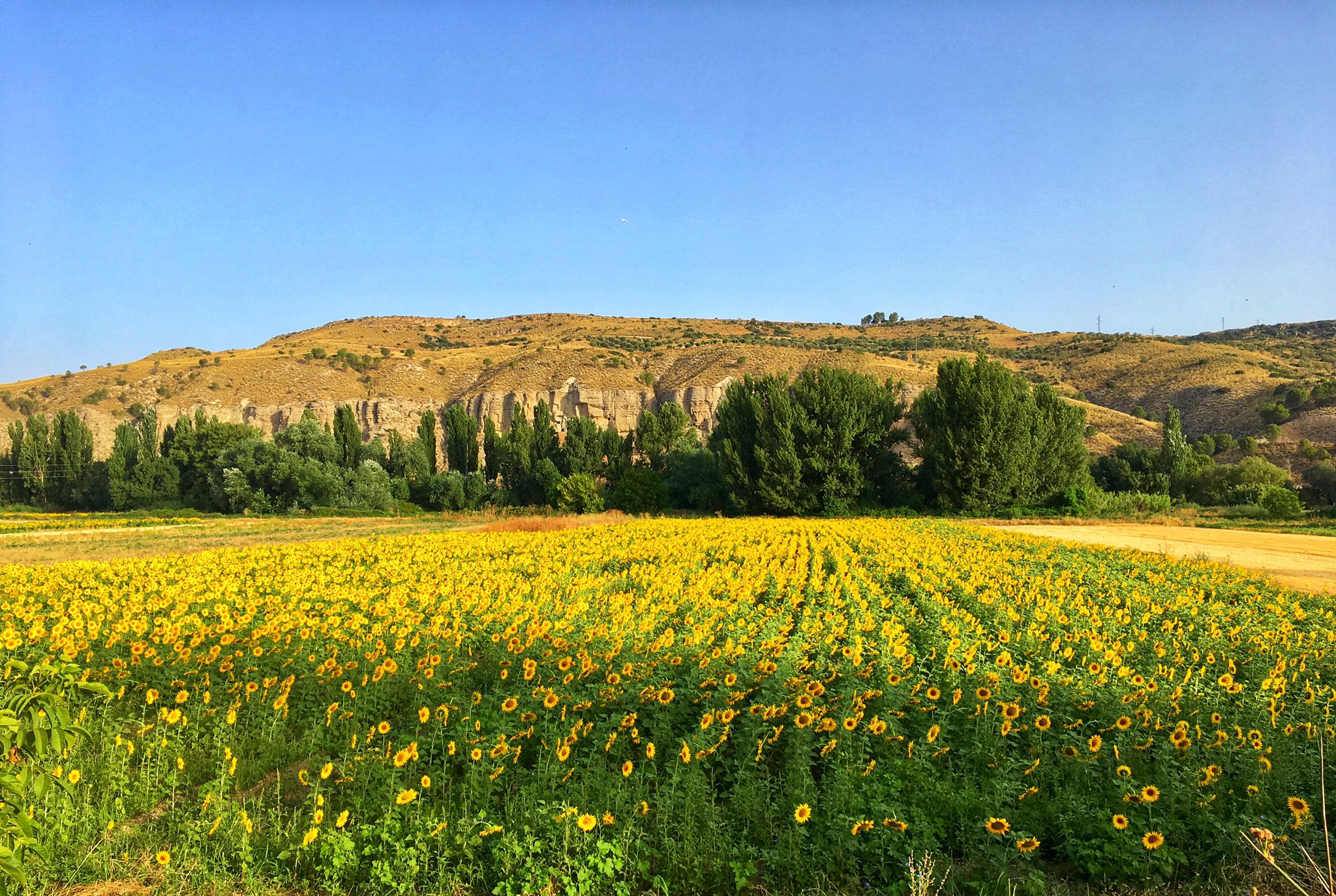
Palaces, rivers and fields — Las Vegas de Madrid gravel tour
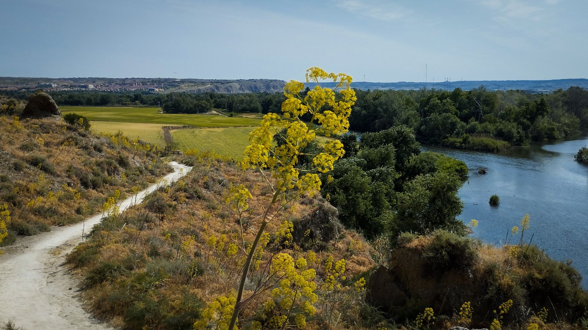
Unexpectedly wild – Jarama on a gravel bike
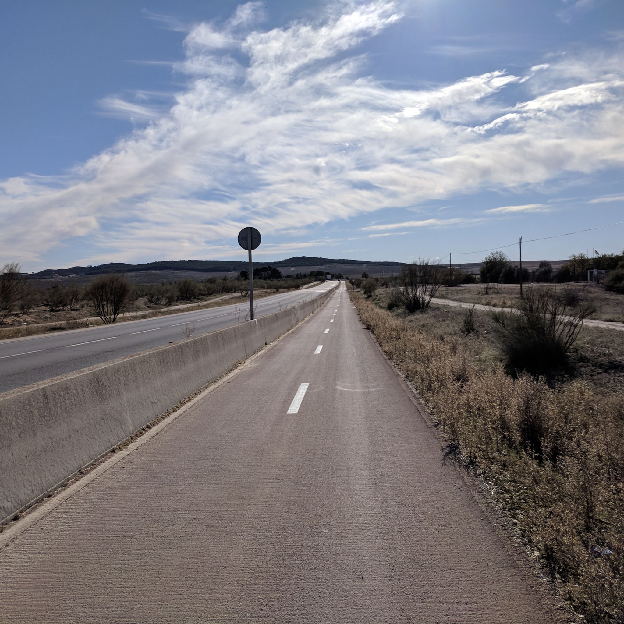
Road Cycling Routes in Ejes De Los Cursos Bajos De Los Ríos Manzanares Y Jarama
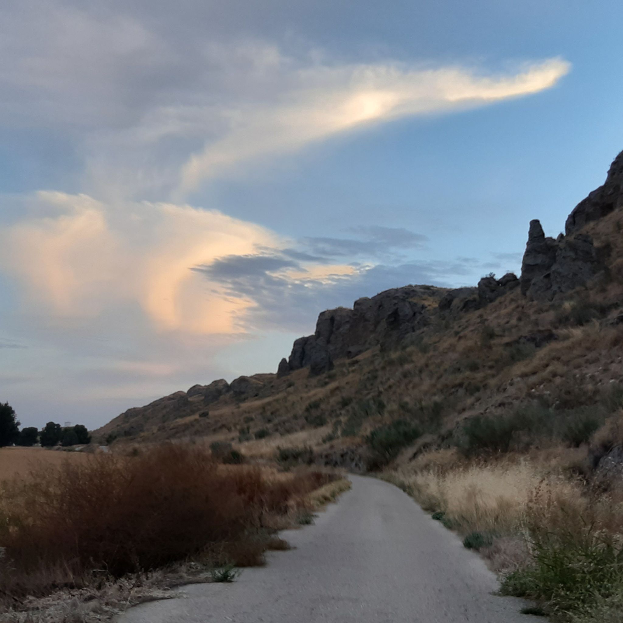
Cycling in Ejes De Los Cursos Bajos De Los Ríos Manzanares Y Jarama
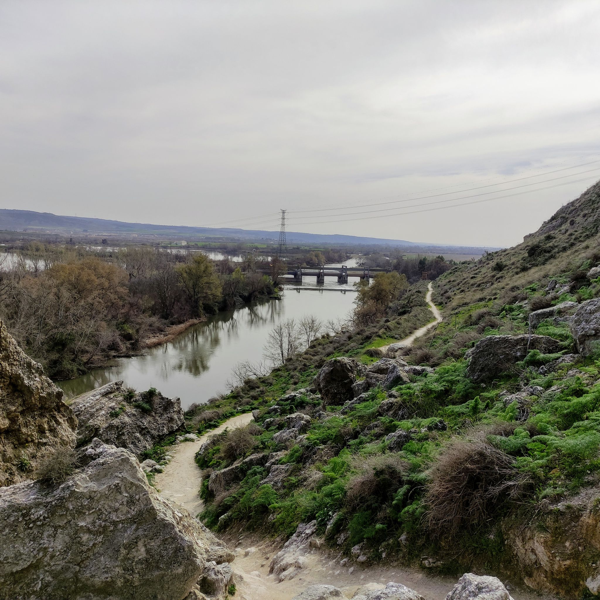
MTB Trails in Ejes De Los Cursos Bajos De Los Ríos Manzanares Y Jarama

Gravel biking in Ejes De Los Cursos Bajos De Los Ríos Manzanares Y Jarama
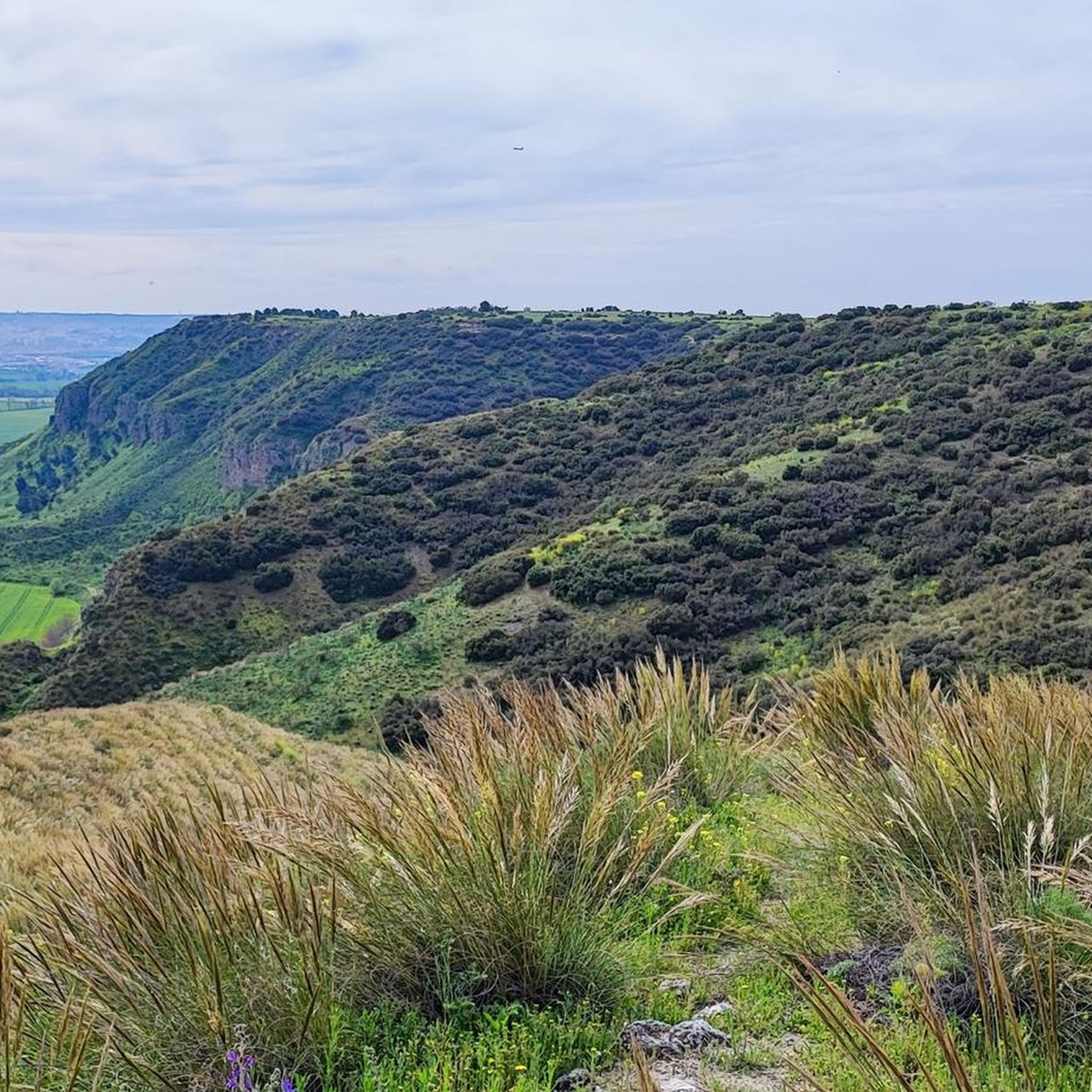
Running Trails in Ejes De Los Cursos Bajos De Los Ríos Manzanares Y Jarama
Other adventures in Ejes De Los Cursos Bajos De Los Ríos Manzanares Y Jarama

Tips from the Community

The Campillo Lagoon is located in Rivas Vaciamadrid, within the Southeast Regional Park, about 20 km from Madrid. It is a protected natural area, ideal for peaceful walks and outdoor activities. Origin: Artificial, formed in the 1960s and 70s after the extraction of aggregates in the Jarama River basin. Water from the aquifer filled the excavations and over time became a wetland with great biodiversity.
6
0
The Campillo Lagoon is located in Rivas Vaciamadrid, within the Southeast Regional Park, about 20 km from Madrid. It is a protected natural area, ideal for peaceful walks and outdoor activities. Origin: Artificial, formed in the 1960s and 70s after the extraction of aggregates in the Jarama River basin. Water from the aquifer filled the excavations and over time became a wetland with great biodiversity.
4
0

The Campillo Lagoon is located in the Southeast Regional Park, in the Spanish municipality of Rivas-Vaciamadrid, in the Community of Madrid. Its origin lies in the former gravel quarrying that took place in the Jarama River basin during the 1960s and 70s. Excavation went below the water table, and when quarrying ceased and the surrounding area was restored, this lagoon emerged, measuring approximately 4 kilometers in diameter and covering 35 hectares. After El Porcal Lagoon, it is the largest lagoon in the Southeast Regional Park. A peaceful place to relax, with numerous benches.
2
1

Longing for times past and the living history of the steam railway.
0
0
For the beautiful surroundings and landscape just a stone's throw from Madrid.
1
0
This lagoon is artificial in origin, created from the extraction of aggregates in the Jarama River basin during the 1960s and 1970s. It is an ideal place to enjoy nature, go hiking or cycling. The lagoon is approximately 5.5 km long and its average depth is 6 metres, although in some areas it can reach 20 metres. In addition, it has a natural resources interpretation centre that organises workshops and educational activities.
4
0

A beautiful lagoon to visit and spot seagulls, ducks and various birds. Highly recommended 👌
0
0
The bridge is now reopened and restored
0
0
Frequently Asked Questions
How many hiking trails are available in the Ejes De Los Cursos Bajos De Los Ríos Manzanares Y Jarama region?
There are over 20 hiking trails in the Ejes De Los Cursos Bajos De Los Ríos Manzanares Y Jarama region, offering a variety of experiences for outdoor enthusiasts.
What kind of terrain can I expect when hiking here?
The region features diverse terrain, including lush riverine ecosystems along the Manzanares and Jarama rivers, extensive wetlands and lagoons (many formed from past gravel extraction), and striking gypsum cliffs and steppes. You'll also find significant fluvial terraces and varied vegetation, from deciduous trees to scarce holm oak forests.
What natural features or landmarks can I see along the trails?
Hikers can explore a variety of natural features and landmarks. Notable spots include the Campillo Lagoon, known for its aquatic birds, the dramatic Jarama Cliffs and Rivas Cliffs, and the Presa del Rey. You can also find a viewpoint overlooking the confluence of the Jarama and Manzanares rivers.
Are there hiking options for different skill levels?
Yes, the trails cater to various abilities. There are 11 easy routes perfect for leisurely strolls, 8 moderate routes for those seeking a bit more challenge, and 1 difficult route for experienced hikers.
Are there family-friendly hiking trails?
Absolutely. Many of the 11 easy routes are suitable for families. For example, the Campillo Lagoon – Laguna del Campillo loop from Rivas Vaciamadrid is an easy 3.0-mile path that explores a valuable natural reserve, making it a great option for all ages.
Can I bring my dog on the trails?
While many trails in the region are dog-friendly, it's always recommended to check specific route regulations or local signage, especially in protected areas or near sensitive wildlife habitats, to ensure dogs are permitted and if they need to be on a leash.
Are there circular hiking routes available?
Yes, many of the trails in the Ejes De Los Cursos Bajos De Los Ríos Manzanares Y Jarama region are circular. Popular options include the Rivas Cliffs – Soto de las Juntas Lagoon loop from Rivas Vaciamadrid and the Bird Observatory loop from Velilla de San Antonio.
What is the best time of year to go hiking in this area?
The park is enjoyable year-round, but spring and autumn offer the most pleasant temperatures for hiking, with vibrant flora and active wildlife. Winter can also be a good time for quieter trails, while summer might be hot, making early morning or late afternoon hikes preferable.
What do other hikers enjoy most about the trails in Ejes De Los Cursos Bajos De Los Ríos Manzanares Y Jarama?
The area is highly rated by the komoot community, with an average score of 4.3 stars from over 180 reviews. Hikers often praise the diverse landscapes, the opportunities for birdwatching around the lagoons, and the scenic views of the river confluence and gypsum cliffs.
Are there any trails with waterfalls?
Yes, some routes within the Parque Regional del Sureste do feature small waterfalls, adding an extra scenic element to your hike. These are typically seasonal, depending on recent rainfall.
What kind of wildlife can I expect to see?
The diverse ecosystems support a rich variety of wildlife. The lagoons and wetlands are particularly important for aquatic birds, making the area a prime spot for birdwatching. You might also encounter various species adapted to the riverine environments and the unique gypsum steppes.
Are there any historical or cultural sites to explore?
Beyond its natural beauty, the park contains archaeological and paleontological sites. You can also visit historical points of interest such as the Spanish Civil War Bunkers and Trenches at Jarama Front, offering a glimpse into the region's past.
Most popular routes in Ejes De Los Cursos Bajos De Los Ríos Manzanares Y Jarama
Most popular attractions in Ejes De Los Cursos Bajos De Los Ríos Manzanares Y Jarama

Get inspired with the komoot mobile app


Explore more
Browse the best Hikes in other regions.
