The best road cycling routes in Lic-Rio Saja
4.7
(18)
1,976
riders
48
rides
Road cycling in Lic-Rio Saja offers a diverse landscape for riders. The region is characterized by its natural park setting, featuring river valleys, rolling hills, and forested areas. Road cyclists can expect varied terrain, from gentle ascents along rivers to more challenging climbs through mountainous sections. This area provides a mix of routes suitable for different fitness levels, all within a natural environment.
Best road cycling routes in Lic-Rio Saja
- The most popular road cycling route is Port of Palombera…
Last updated: October 20, 2026
175
riders
Hard road ride. Very good fitness required. Some segments of this route may be unpaved and difficult to ride.
84
riders
54.5km
02:25
510m
510m
Moderate road ride. Good fitness required. Mostly well-paved surfaces and easy to ride.

20
riders
80.1km
04:28
1,720m
1,720m
Hard road ride. Very good fitness required. Mostly well-paved surfaces and easy to ride.
4.0
(1)
14
riders
44.0km
02:12
630m
630m
Moderate road ride. Good fitness required. Some segments of this route may be unpaved and difficult to ride.
8
riders
40.2km
01:46
390m
390m
Moderate road ride. Good fitness required. Mostly well-paved surfaces and easy to ride.
Get access to more routes and recommendations from other explorers.
Already have an account?
Our route recommendations are based on thousands of hikes, rides, and runs completed by other people on komoot.
Start today with a free account
Your next adventure awaits.
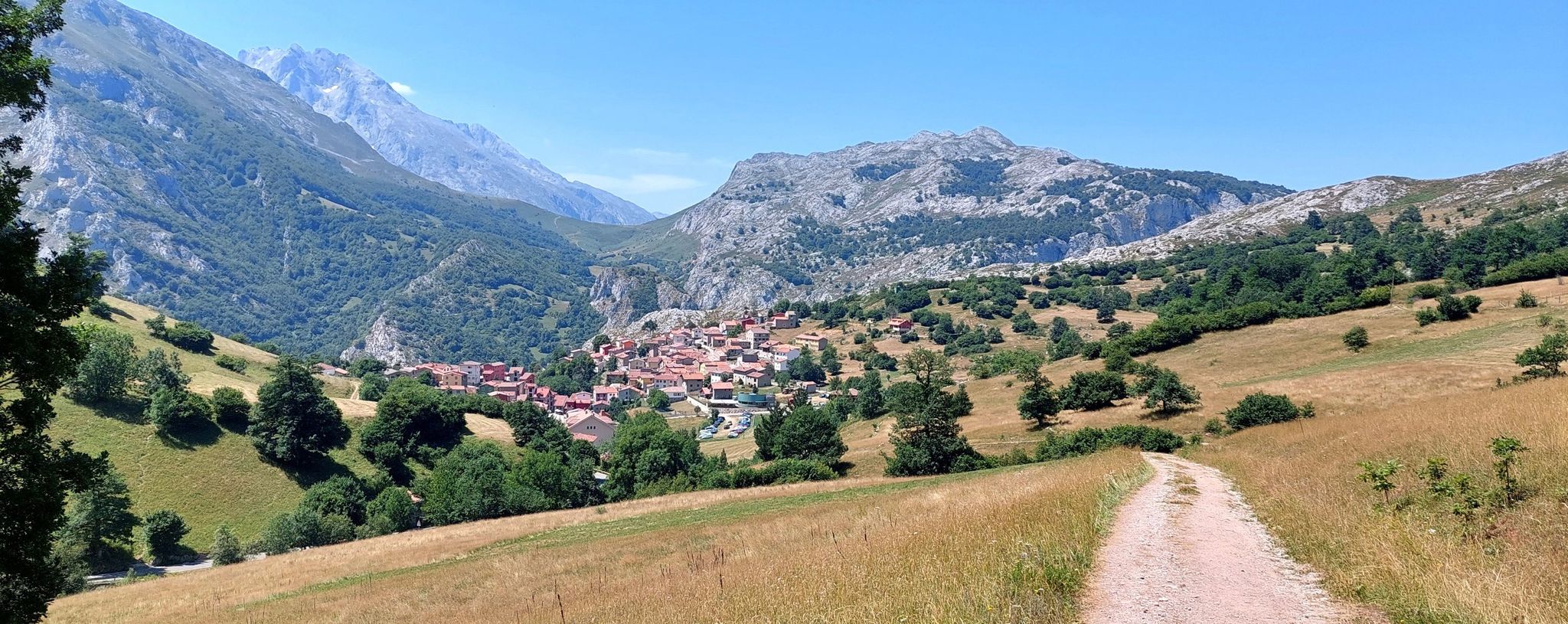
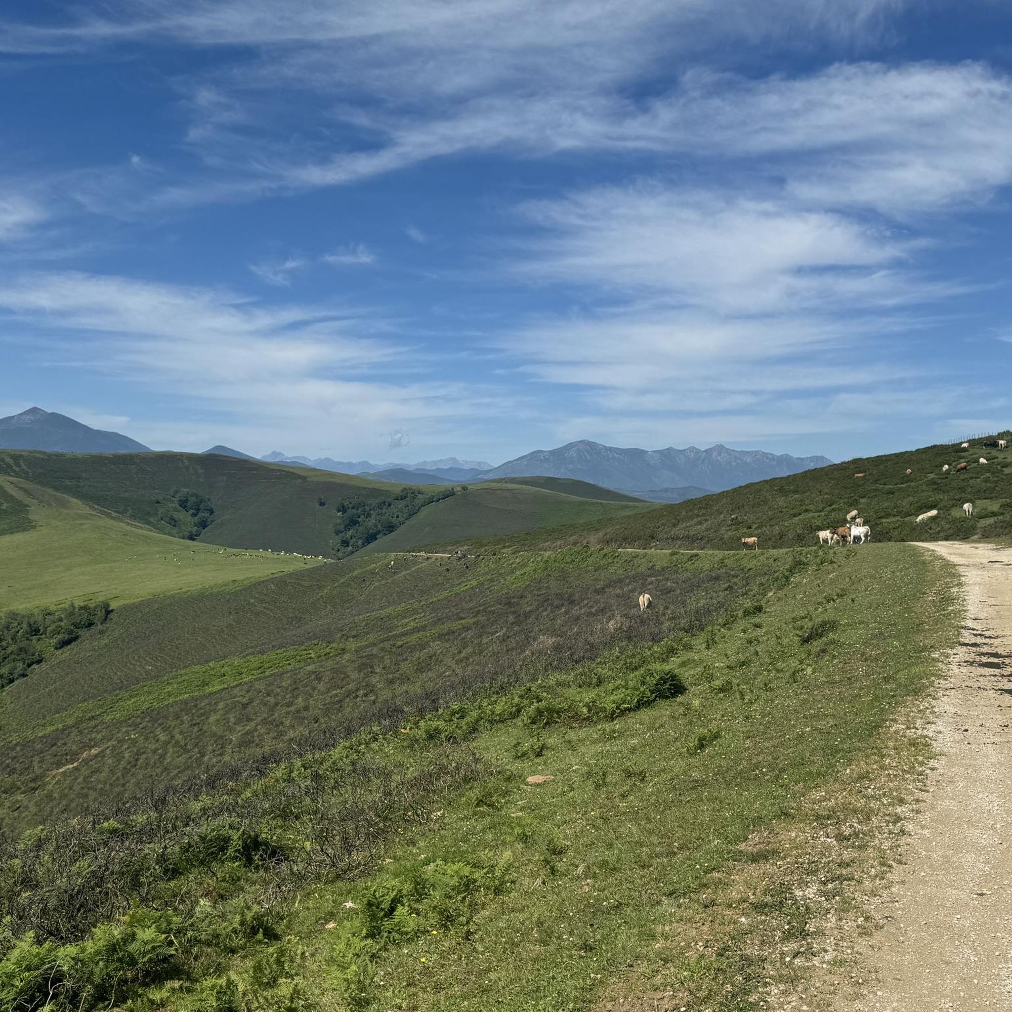


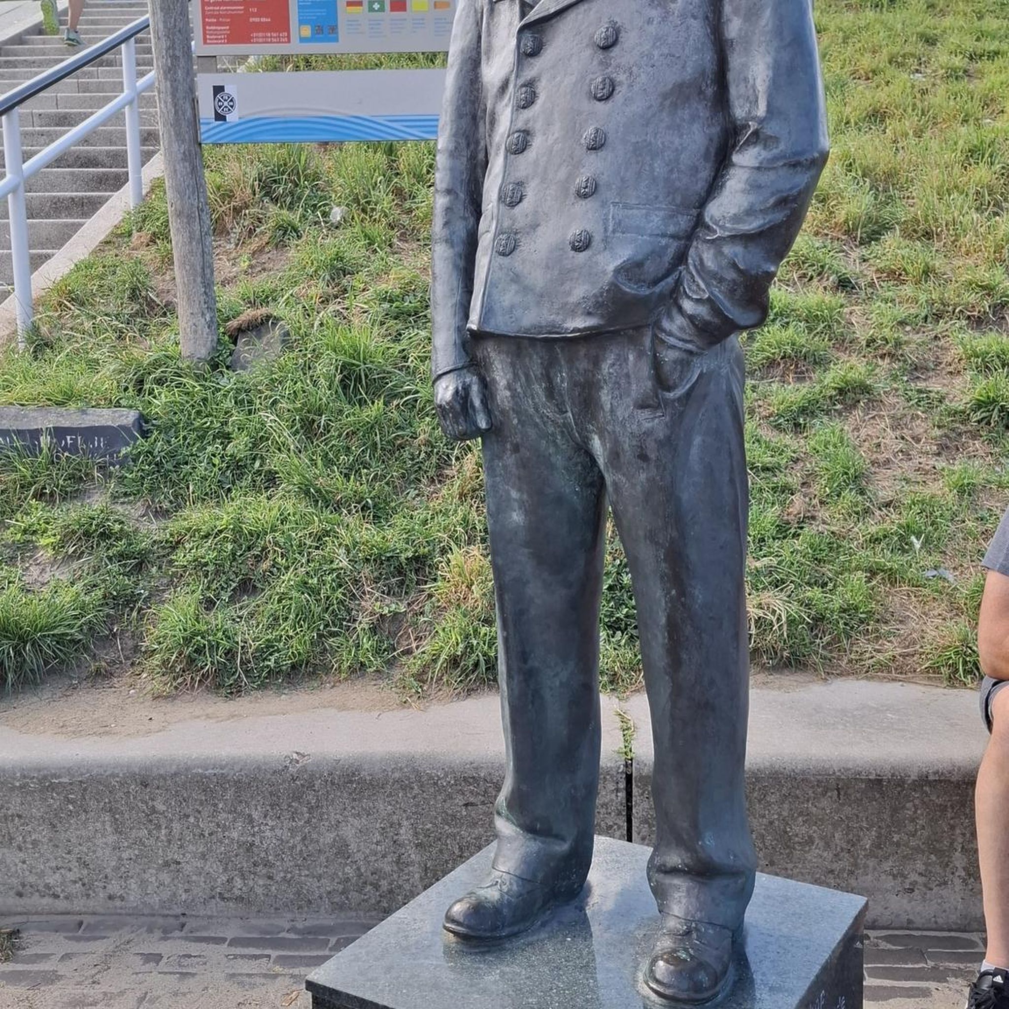
Other adventures in Lic-Rio Saja

Tips from the Community

The views are good, but it is currently inaccessible for security reasons.
1
0

Incredible views of the Picos de Europa from this point.
0
0
Whenever I pass by here, even by car, I take a look at this beautiful bridge.
1
0

The Collada de Carmona is a mountain pass in the Cantabrian mountain range located in western Cantabria.[1] It rises to 601 m above sea level and links the towns of Valle to the east and Carmona to the west, both belonging to the municipality of Cabuérniga.
0
0

Beautiful viewpoint of the Carmona valley. Mandatory stop to enjoy the beautiful view
1
0

This small and unique typical mountain village has around 39 inhabitants, but offers a bar and rural accommodation. 4 kilometers from here is the viewpoint of La Cohilla, which has spectacular views.
0
0

The Soplao 10,000 cycling test includes Santibáñez in its route. The race passes through the town and heads towards the ascent to the Alto de San Ciprián whose summit is located between the mountains that surround the town of Santibañez. The water from this town also stands out, it is collected by many people for its freshness and flavor.
1
0
It takes its name from the main activity it carried out for centuries: the extraction of salt. It has a multitude of worthy buildings, among the most important are the palace-house of Carrejo (today converted into the Museum of Nature of Cantabria), the palace-tower of the Monasteries, and the Bodega palace (18th century).
1
0
Frequently Asked Questions
What kind of terrain can I expect when road cycling in Lic-Rio Saja?
Lic-Rio Saja offers a diverse landscape for road cyclists. You'll find a mix of river valleys, rolling hills, and forested areas within its natural park setting. Routes vary from gentle ascents along rivers to more challenging climbs through mountainous sections, catering to different fitness levels.
Are there road cycling routes suitable for beginners in Lic-Rio Saja?
Yes, Lic-Rio Saja has routes suitable for beginners. For an easier ride, consider the Stone Fountain loop from Ruente, which is 20.4 miles (32.9 km) long with moderate elevation gain, often completed in about 1 hour 22 minutes. There are 4 easy routes in total.
Where can I find challenging road cycling routes in Lic-Rio Saja?
For a more challenging experience, Lic-Rio Saja offers several demanding routes. The Port of Palombera and Alto de San Cipriano from Ruente – circular through the Saja-Besaya Natural Park is a difficult 69.2-mile (111.3 km) trail with significant elevation gain. Overall, there are 24 difficult routes in the region.
Are there any scenic road cycling routes with viewpoints in Lic-Rio Saja?
Many routes in Lic-Rio Saja offer scenic views, especially those traversing the Saja-Besaya Natural Park. The View of Picos de Europa – Santibáñez Church loop from Ruente is a moderate 47.3-mile (76.1 km) route that provides excellent vistas, including potential glimpses of the Picos de Europa on clear days.
What is the best season for road biking in Lic-Rio Saja?
The best season for road biking in Lic-Rio Saja is generally spring through autumn. During these months, the weather is typically milder and more stable, making for pleasant riding conditions. Summer offers longer daylight hours, ideal for extended tours through the natural park.
Are there loop road cycling routes available in Lic-Rio Saja?
Yes, many road cycling routes in Lic-Rio Saja are designed as loops, allowing you to start and finish at the same point. A popular moderate loop is the Stone Fountain – Santibáñez Church loop from Parque Natural Saja-Besaya, covering 33.2 miles (53.5 km).
What do other road cyclists say about the routes in Lic-Rio Saja?
The road cycling routes in Lic-Rio Saja are highly rated by the komoot community, with an average score of 4.8 stars from more than 10 reviews. Riders often praise the varied terrain, the natural beauty of the Saja-Besaya Natural Park, and the options available for different skill levels.
How long do road cycling routes typically take in Lic-Rio Saja?
Route durations vary significantly based on distance and difficulty. For example, an easy route like the Stone Fountain loop from Ruente takes about 1 hour 22 minutes, while a difficult one such as the Port of Palombera and Alto de San Cipriano from Ruente can take around 5 hours 39 minutes.
Are there road cycling routes that pass by cafes or places to stop for refreshments?
While specific cafe locations aren't detailed for every route, many routes in Lic-Rio Saja pass through or near villages and towns where you can find cafes and restaurants. Planning your route with komoot allows you to identify potential stops along the way. For instance, routes starting or passing through Ruente offer opportunities for refreshments.
What are some moderate road cycling options in Lic-Rio Saja?
Lic-Rio Saja offers 14 moderate road cycling routes. A good option is the Stone Fountain – Collada de Carmona loop from Ruente, a 40-mile (64.4 km) route that provides a balanced challenge and scenic views, typically taking around 2 hours 15 minutes.
How many road cycling routes are available in Lic-Rio Saja?
There are over 40 road cycling routes available in Lic-Rio Saja, offering a wide range of options for different skill levels and preferences.
Can I find less crowded road cycling trails in Lic-Rio Saja?
Given the region's natural park setting and varied terrain, it's possible to find less crowded routes, especially outside of peak tourist seasons or by exploring some of the less-trafficked paths. Komoot's route planner can help you discover quieter options away from the most popular trails.
Most popular routes in Lic-Rio Saja

Get inspired with the komoot mobile app


Explore more
Browse the best Road cycling routes in other regions.
