The best walks and hikes around Ríos Guadalhorce, Fabalas Y Pereilas
4.4
(3969)
28,492
hikers
432
hikes
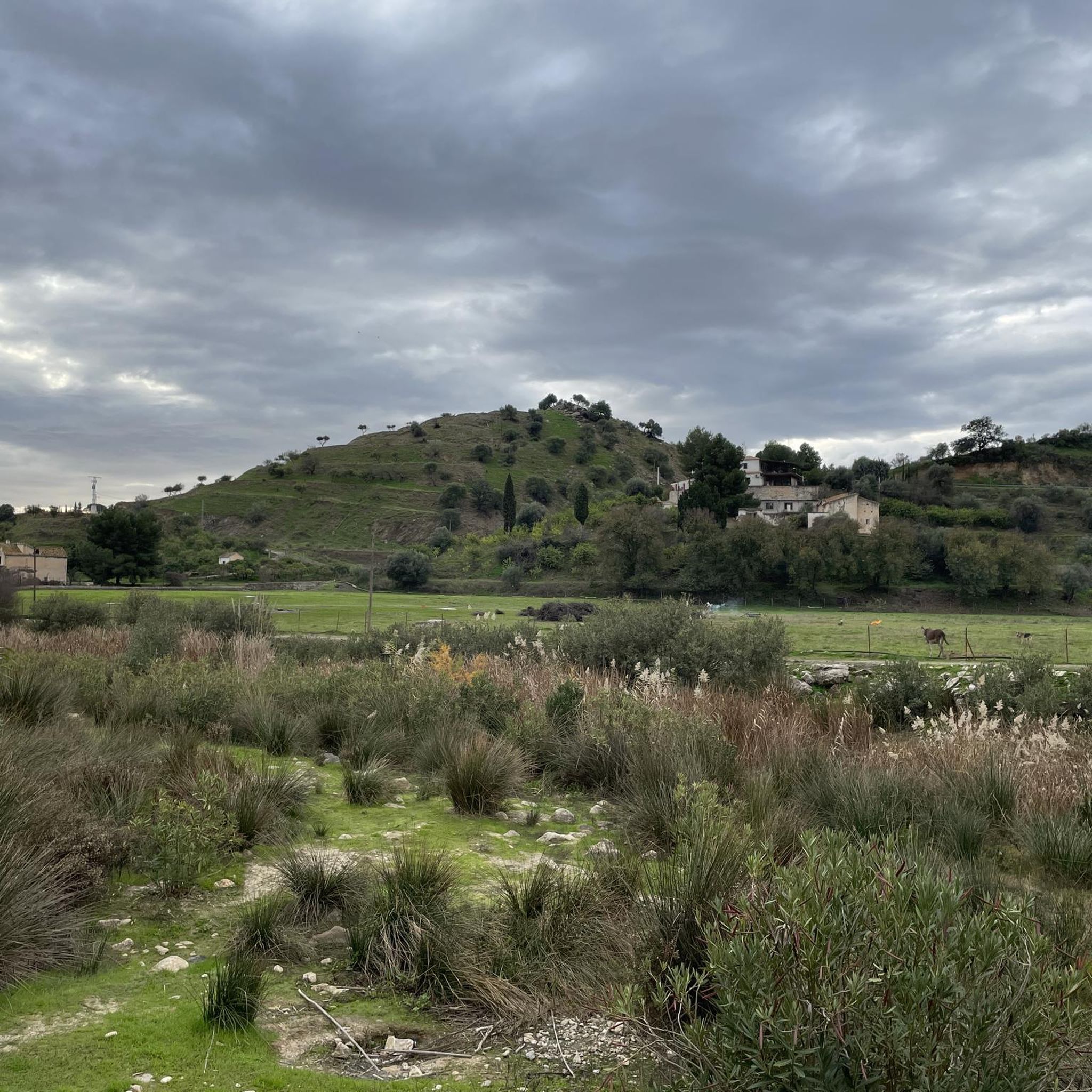
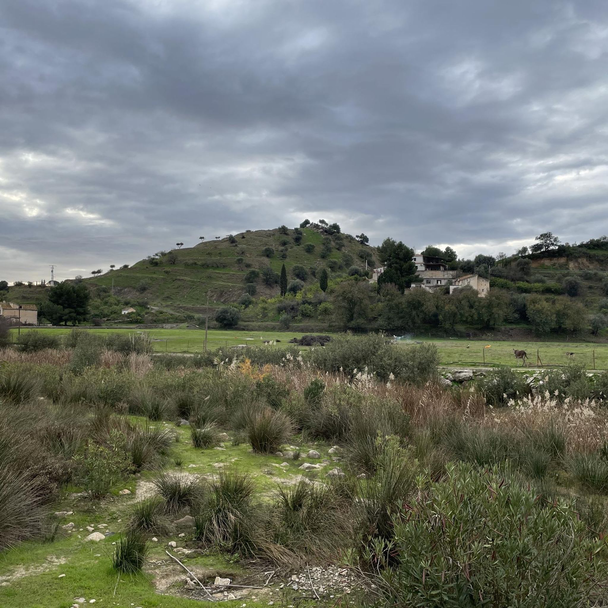
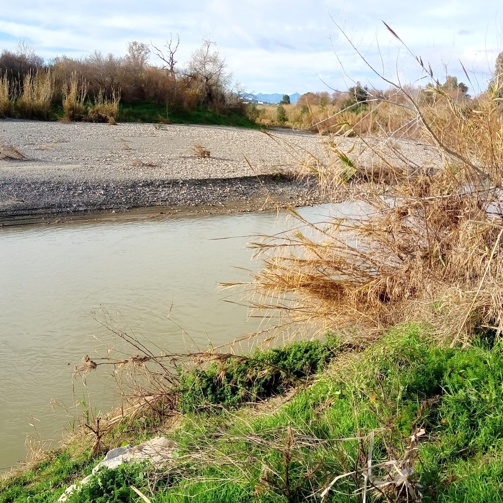
Hiking around Ríos Guadalhorce, Fabalas Y Pereilas explores a landscape shaped by the Guadalhorce river, reservoirs, and dramatic rock formations. The region features a mix of river valleys, limestone cliffs, and historical sites, offering varied terrain for hikers. Trails often traverse through areas with significant geological features and provide views of the surrounding hills and water bodies. This area in Centro-Sur O Guadalorce is characterized by its natural beauty and accessible paths.
Best hiking trails around Ríos Guadalhorce, Fabalas Y…
Last updated: October 20, 2026
4.9
(1052)
13,757
hikers
8.65km
04:03
620m
620m
Hard hike. Good fitness required. Sure-footedness, sturdy shoes and alpine experience required.
4.4
(15)
47
hikers
13.8km
04:19
510m
510m
Moderate hike. Good fitness required. Mostly accessible paths. Sure-footedness required.

4.7
(91)
329
hikers
9.64km
03:28
540m
540m
Moderate hike. Good fitness required. Mostly accessible paths. Sure-footedness required.
4.7
(42)
196
hikers
15.2km
05:46
990m
990m
Hard hike. Very good fitness required. Mostly accessible paths. Sure-footedness required.
4.6
(32)
141
hikers
8.51km
03:02
370m
370m
Moderate hike. Good fitness required. Mostly accessible paths. Sure-footedness required.
4.4
(22)
118
hikers
8.00km
02:39
350m
350m
Moderate hike. Good fitness required. Mostly accessible paths. Sure-footedness required.
4.6
(19)
95
hikers
14.6km
04:38
550m
550m
Moderate hike. Good fitness required. Mostly accessible paths. Sure-footedness required.
4.9
(27)
147
hikers
7.41km
02:55
330m
330m
Moderate hike. Good fitness required. Mostly accessible paths. Sure-footedness required.
4.5
(11)
56
hikers
15.4km
04:48
560m
560m
Moderate hike. Good fitness required. Easily-accessible paths. Suitable for all skill levels.
4.7
(13)
35
hikers
Moderate hike. Good fitness required. Easily-accessible paths. Suitable for all skill levels.
Get access to more routes and recommendations from other explorers.
Already have an account?
Our route recommendations are based on thousands of hikes, rides, and runs completed by other people on komoot.
Start today with a free account
Your next adventure awaits.
Popular around Ríos Guadalhorce, Fabalas Y Pereilas


Tips from the Community

Caminito del Rey is a breathtaking trail in Andalusia that runs high above the Guadalhorce river canyon. It offers an adrenaline-pumping experience, magnificent views, and a safe passage through the rocks. Ideal for nature and adventure lovers. Children from 8 years old are allowed, the route is not suitable for people who suffer from fear of heights.
1
0
Álora, a Spanish municipality in the province of Málaga, Andalusia, is located in the Guadalhorce valley and has an area of 169.62 km². Its history dates back to prehistory in Hoyo del Conde, with influences from the Turdetani, Phoenicians, and Romans, who fortified the castle, whose foundations are of Phoenician origin. The inhabitants are known as aloreños or perotes, with the origin of the latter name attributed to the first councilman Don Pero. Álora lies between hills on the banks of the Guadalhorce River and on the railway line towards Málaga, Seville, Córdoba, and Granada. The municipality includes the natural area of El Chorro with the famous Caminito del Rey and a landscape of pine forests and hills with cereal and olive plantations. The landscape is characterized by the Guadalhorce valley and the mountains of the Sistema Bética with citrus and olive cultivation.
1
0
Álora, a Spanish municipality in the province of Málaga, Andalusia, is located in the Guadalhorce Valley and covers an area of 169.62 km². Its history dates back to prehistory in Hoyo del Conde, with influences from the Turdetani, Phoenicians, and Romans, who fortified the castle, whose foundations are of Phoenician origin. The inhabitants are known as aloreños or perotes, the origin of this latter name being attributed to the first mayor, Don Pero. Álora lies between hills on the banks of the Guadalhorce River and on the railway line towards Málaga, Seville, Córdoba, and Granada. The municipality includes the natural area of El Chorro with the famous Caminito del Rey and a landscape of pine forests and hills with cereal and olive plantations. The landscape is characterized by the Guadalhorce Valley and the hills of the Sistema Bética, with citrus and olive cultivation.
1
0
Álora, a Spanish municipality in the province of Málaga, Andalusia, is located in the Guadalhorce valley and has an area of 169.62 km². Its history dates back to prehistory in Hoyo del Conde, with influences from the Turdetani, Phoenicians, and Romans, who fortified the castle, whose foundations are of Phoenician origin. The inhabitants are known as aloreños or perotes, with the origin of the latter name attributed to the first councilman Don Pero. Álora lies among hills on the banks of the Guadalhorce river and on the railway line towards Málaga, Seville, Córdoba, and Granada. The municipality includes the El Chorro natural area with the renowned Caminito del Rey and a landscape of pine forests and hills with cereal and olive plantations. The landscape is characterized by the Guadalhorce valley and the Sistema Bético mountains with citrus and olive cultivation.
1
0
Álora, a Spanish municipality in the province of Málaga, Andalusia, is located in the Guadalhorce valley and covers an area of 169.62 km². Its history dates back to prehistory in Hoyo del Conde, with influences from the Turdetani, Phoenicians, and Romans, who fortified a castle whose foundations are of Phoenician origin. Its inhabitants are known as aloreños or perotes, with the origin of this latter name attributed to the first councilman, Don Pero. Álora lies between hills on the banks of the Guadalhorce river and on the railway line towards Málaga, Seville, Córdoba, and Granada. The municipality encompasses the natural area of El Chorro with the famous Caminito del Rey and a landscape of pine forests and hills with cereal and olive plantations. The landscape is characterized by the Guadalhorce valley and the mountains of the Sistema Bético, with the cultivation of citrus and olives.
1
0

The Balcon de Crystal is a small balcony with a transparent plexiglass floor. Therefore, a maximum of 4 people are allowed on the balcony at any one time.
4
0

At the site of a fissure in the earth, over 256 steps of varying shapes and sizes were hewn into the rock face or constructed from local material. This allows one to traverse the Castillones mountains through the middle. The Arabian Staircase thus provides a convenient shortcut to the Cortijo de Can Pedrero estate. Without it, one would have to make a long detour around the limestone massifs.
1
0

The Álora Town Hall (Casa Consistorial) is the seat of the city's municipal administration. The current building dates from the late 19th century, after the municipality acquired the land in 1898 to establish a permanent administrative center. Architecturally, the Town Hall is simple and functional, typical of smaller Andalusian towns of that era. It is not intended as a monumental structure, but rather as a practical administrative building that blends harmoniously into the historic town center.
1
0
Frequently Asked Questions
How many hiking trails are available in Ríos Guadalhorce, Fabalas Y Pereilas?
The region offers a wide variety of hiking experiences, with over 380 routes recorded on komoot. These range from easy strolls to challenging climbs, ensuring options for all skill levels.
Are there easy hiking trails suitable for beginners or families?
Yes, there are many easy trails perfect for beginners or families. For a pleasant and accessible walk, consider the View of Puente de la Josefona – View of El Chorro loop from El Chorro-Caminito del Rey, which is just under 4 km long and offers scenic views.
What are some notable viewpoints or geological features to see along the trails?
The area is rich in dramatic landscapes. You can find stunning views of the surrounding hills and water bodies, including the Guadalhorce river and reservoirs. The region is known for its limestone cliffs and unique rock formations. For a great vista, the View of Álora Castle offers panoramic scenery.
Are there any circular hiking routes in the Ríos Guadalhorce area?
Absolutely, many routes in the region are circular, allowing you to start and end at the same point. An example is the Arabic Steps – Pared del Huma loop from El Chorro-Caminito del Rey, which provides a moderate challenge with historical elements.
Is it possible to hike with dogs in Ríos Guadalhorce, Fabalas Y Pereilas?
Many trails in the Ríos Guadalhorce area are dog-friendly, allowing you to explore with your canine companion. However, it's always recommended to check specific trail regulations or local signage, especially in protected areas, and keep your dog on a leash for their safety and to protect wildlife.
What is the best time of year to go hiking in this region?
The Ríos Guadalhorce, Fabalas Y Pereilas region, with its Mediterranean climate, is generally pleasant for hiking in spring (March to May) and autumn (September to November) when temperatures are milder. Winter can also be suitable for hiking, though some higher elevation trails might be cooler. Summers can be very hot, so early morning or late afternoon hikes are advisable during this season.
Are there any historical sites or attractions near the hiking trails?
Yes, the region blends natural beauty with historical significance. Besides the well-known Caminito del Rey, you can explore sites like the Ruins of Bobastro. Other points of interest include the Old Iron Bridge and the Guadalhorce Green Corridor Wooden Footbridge, which are often incorporated into routes.
Where can I find parking at the trailheads in the Ríos Guadalhorce area?
Parking availability varies by trailhead. Popular starting points like El Chorro often have designated parking areas, though they can fill up quickly during peak season. For routes starting from towns like Pizarra, you can usually find street parking or small public car parks. Always check local signage for any restrictions or fees.
Are there any trails that feature water elements like rivers or dams?
Given the region's name, rivers and dams are prominent features. Many trails follow the Guadalhorce river or offer views of its reservoirs. The Tajo de la Encantada Dam loop from El Chorro-Caminito del Rey is a great option to experience these water features up close, offering views of the impressive Guadalhorce River Dam.
What do other hikers enjoy most about the trails in Ríos Guadalhorce, Fabalas Y Pereilas?
The area is highly rated by the komoot community, with an average score of 4.4 stars from over 3100 reviews. Hikers frequently praise the diverse landscapes, from dramatic gorges to serene river valleys, and the blend of natural beauty with historical elements. The well-maintained paths and varied difficulty levels also receive positive feedback.
Can I access hiking trails using public transport?
Access to some trailheads, particularly around El Chorro, is possible via public transport, including train services from Málaga. For other, more remote starting points, public transport options might be limited, and a car would be more convenient. It's advisable to research specific routes and their accessibility before planning your trip.
Are there any cafes or places to eat near the hiking paths?
Yes, you'll find cafes and restaurants in the villages and towns that serve as common starting points or pass-throughs for hikes, such as El Chorro, Álora, and Pizarra. These establishments offer opportunities to refuel before or after your hike with local cuisine and refreshments.
Are there any trails that offer a good challenge for experienced hikers?
For experienced hikers seeking a challenge, the region offers several difficult routes. The The Dark Cave – El Santo Recreation Area loop from Pizarra is a demanding trail covering nearly 15 km with significant elevation gain, providing a rewarding experience.
Most popular routes around Ríos Guadalhorce, Fabalas Y Pereilas
Most popular attractions around Ríos Guadalhorce, Fabalas Y Pereilas

Get inspired with the komoot mobile app


Explore more
Browse the best Hikes in other regions.
