The best walks and hikes in Brazo Del Este
4.1
(67)
241
hikers
18
hikes
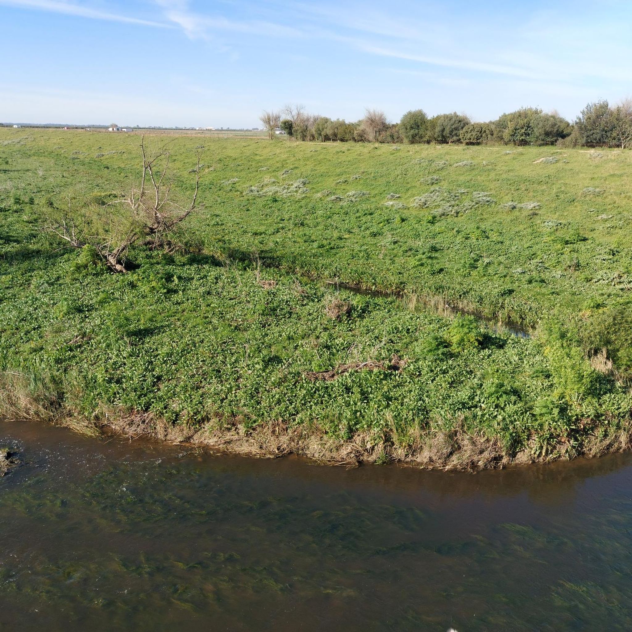
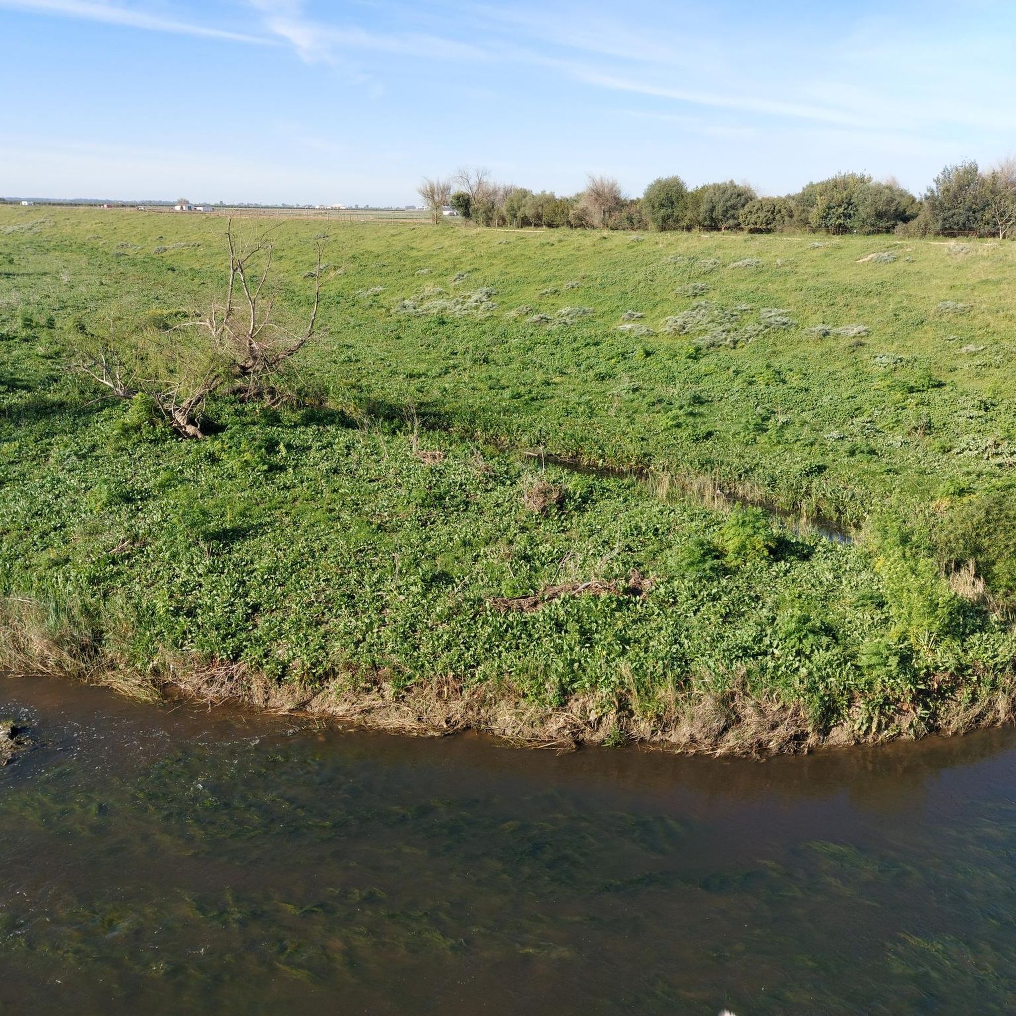
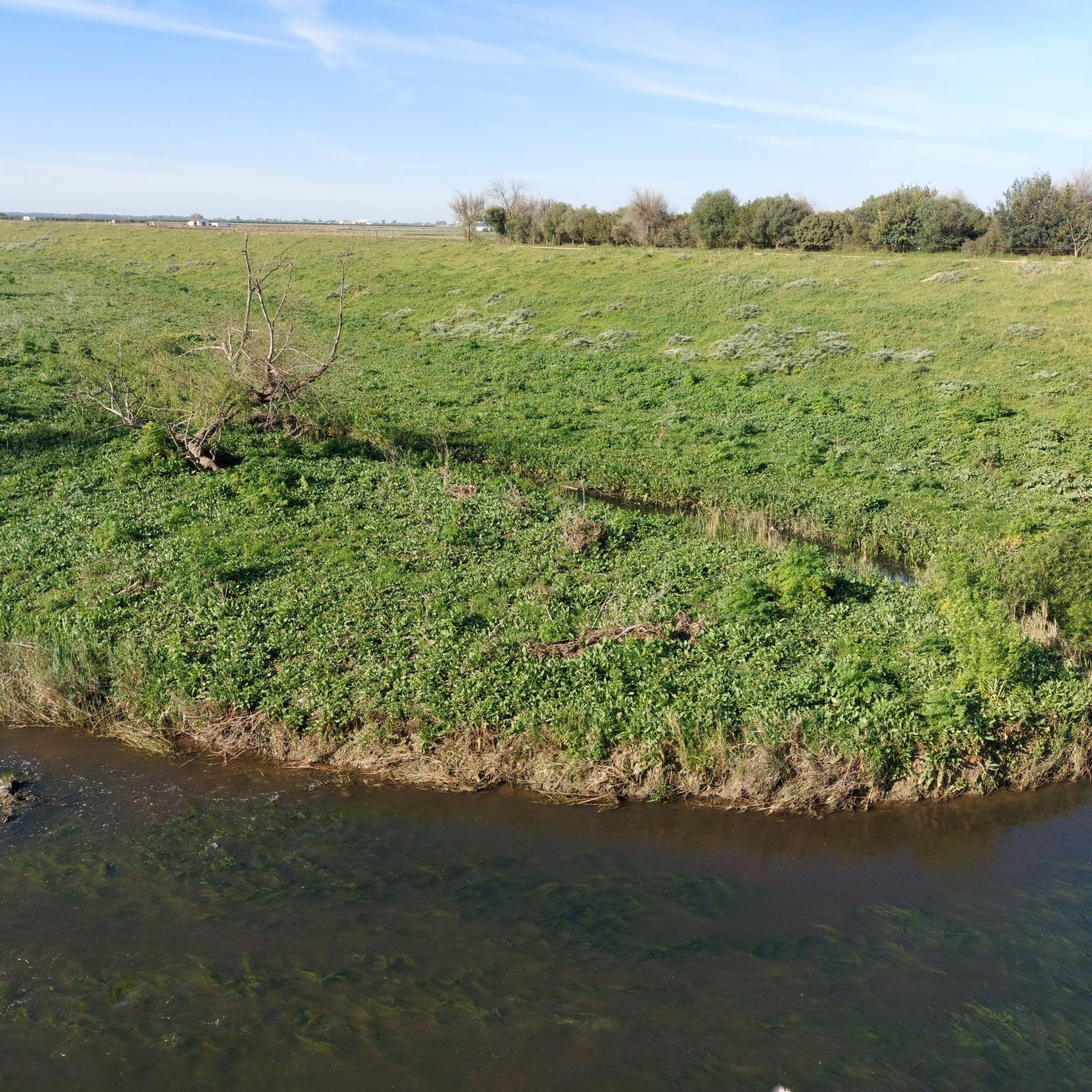
Hiking in Brazo Del Este offers routes through a natural park located in La Campiña, characterized by its flat terrain and proximity to river systems. The landscape features agricultural areas, eucalyptus groves, and ravines, providing varied scenery for outdoor activities. Elevation changes on these trails are minimal, making them accessible for various fitness levels. The region's trails primarily follow established paths through open and wooded areas.
Best hiking trails in Brazo Del Este
- The most popular hiking route is Statue…
Last updated: July 5, 2026
2.6
(5)
9
hikers
Easy hike. Great for any fitness level. Easily-accessible paths. Suitable for all skill levels.
2
hikers
8.35km
02:09
40m
40m
Moderate hike. Good fitness required. Easily-accessible paths. Suitable for all skill levels.

Sign up for free
3.0
(9)
21
hikers
8.23km
02:07
40m
40m
Moderate hike. Good fitness required. Easily-accessible paths. Suitable for all skill levels.
2
hikers
14.6km
03:47
80m
80m
Moderate hike. Good fitness required. Easily-accessible paths. Suitable for all skill levels.
4.3
(4)
19
hikers
Moderate hike. Good fitness required. Easily-accessible paths. Suitable for all skill levels.
Get access to more routes and recommendations from other explorers.
Sign up for free
Already have an account?
Our route recommendations are based on thousands of hikes, rides, and runs completed by other people on komoot.
Start today with a free account
Your next adventure awaits.
Login or Signup


Tips from the Community

Walk that is close to the town of Coria del Río and that goes in the direction of La Puebla del Río. The area is very good for running and training always watching the Río Guadalquivir!
0
0
Beautiful square that is in front of the Chapel of Nuestra Señora de la Soledad and where it contains the typical colors of this area of the province of Seville, white and yellow stripes.
1
0
Nice park where you can walk and eat in the establishments that are there. You can find tributes to Japan (which has a curious link with the municipality). It is located by the river, where the "Toro Nagashi" ceremony is held in summer.
1
0
This is one of the typical "cañades" where cattle used to pass when they were transhumance to other areas looking for new spaces. The path continues to be in perfect condition and surrounded by areas of pine trees.
2
0
La Cañada de los Pájaros is a naturalized space that had other uses in the past but which currently represents a wetland area where you can see a large number of birds, some that migrate and others that are always there. The area is private and has a cost, however, services such as a restaurant appear there.
1
0

It is a site that was formerly used as a garbage dump (an abandoned gravel pit), converted into a paradise for birds, in a protected wetland with high biodiversity. In 1991 the space was declared a Concerted Nature Reserve by the Ministry of the Environment.
2
0

A fun trail with eucalyptus trees on each side.
1
0
Frequently Asked Questions
How many hiking trails are available in Brazo Del Este?
Brazo Del Este offers a selection of 17 hiking trails. These routes cater to various preferences, with options ranging from easy strolls to more moderate excursions through the natural park.
Are there easy hiking trails suitable for beginners or families in Brazo Del Este?
Yes, Brazo Del Este features 7 easy hiking trails, perfect for beginners or families. These routes typically have minimal elevation changes. An excellent option is the Statue of Hasekura Tsunenaga loop from La Puebla del Río, an easy 4.0-mile (6.5 km) trail that takes about 1 hour 41 minutes to complete.
What kind of moderate hiking options are available in Brazo Del Este?
For those seeking a bit more challenge, Brazo Del Este has 10 moderate hiking trails. These routes often cover longer distances or feature slightly more varied terrain. Consider the Hiking loop from La Puebla del Río, a 5.2-mile (8.3 km) path offering diverse riverine scenery, typically completed in about 2 hours 8 minutes.
What is the best time of year to go hiking in Brazo Del Este?
Given the region's flat terrain and open agricultural areas, spring and autumn are generally the most pleasant seasons for hiking in Brazo Del Este. Temperatures are milder, and the landscape is often at its most vibrant. Summers can be very hot, and winters may bring cooler, wetter conditions.
Can I bring my dog on the hiking trails in Brazo Del Este?
While many natural areas in Spain are dog-friendly, it's always recommended to keep your dog on a leash, especially in natural parks to protect wildlife and ensure the safety of other hikers. Please also ensure you clean up after your pet.
Are there any circular hiking routes in Brazo Del Este?
Yes, many of the trails in Brazo Del Este are designed as circular routes, allowing you to start and end at the same point. For example, the Hiking loop from Coria del Río is a 9.2-mile (14.9 km) circular trail that explores the flat, open areas near the town.
What kind of scenery can I expect while hiking in Brazo Del Este?
Brazo Del Este offers a unique landscape characterized by its proximity to river systems, extensive agricultural areas, and distinctive eucalyptus groves. You'll encounter riverine paths, open fields, and occasionally ravines, providing varied natural scenery throughout your hike.
What do other hikers enjoy most about the trails in Brazo Del Este?
The komoot community highly rates the trails in Brazo Del Este, with an average score of 4.2 stars from over 60 reviews. Hikers often praise the peaceful atmosphere, the flat and accessible terrain suitable for various fitness levels, and the opportunity to experience the unique riverine and agricultural landscapes.
Are there any notable landmarks or points of interest along the trails?
Yes, some routes pass by interesting cultural landmarks. For instance, the Statue of Hasekura Tsunenaga loop from La Puebla del Río takes you past a notable cultural landmark, offering a blend of nature and history.
Is parking generally available near the trailheads in Brazo Del Este?
Many trails in Brazo Del Este start from towns like La Puebla del Río or Coria del Río. In these areas, you can typically find public parking facilities within reasonable proximity to the trailheads, making access convenient for hikers.
Are there any trails that go through eucalyptus groves?
Yes, the landscape of Brazo Del Este includes distinctive eucalyptus groves. The Eucalyptus Trail – Cañada de Arrayanes loop from Airam is a great example, offering a 9.1-mile (14.6 km) moderate hike through these characteristic wooded areas.
What should I wear for hiking in Brazo Del Este?
Given the generally flat and open terrain, comfortable walking shoes or light hiking boots are usually sufficient. Layers are advisable, especially during spring and autumn, as temperatures can change. Don't forget sun protection, as many areas are exposed.
Are there any trails that explore ravines in Brazo Del Este?
Yes, the region's varied landscape includes ravines. The Walk through the Arrayanes Ravine - circular through the Birds Ravine is a moderate 6.2-mile (10 km) route that specifically takes you through these natural features, offering a different perspective of the area.
Most popular routes in Brazo Del Este

Get inspired with the komoot mobile app


Explore more
Browse the best Hikes in other regions.
