The best cycling routes in the Pelly Mountains
3.0
(1)
39
riders
8
rides
Touring cycling in the Pelly Mountains offers a rugged and remote wilderness experience within the Yukon, Canada. This subrange of the Yukon Ranges is characterized by vast mountain landscapes, endless valleys, and numerous rivers. Cyclists can expect to traverse boreal forests at lower elevations and alpine tundra above the timberline, with some crests retaining snow into the summer. The area features remote gravel roads and moderately high relief, with the highest peak reaching 7,887 feet (2,404 meters).
Best touring cycling…
Last updated: June 28, 2026
9
riders
56.6km
05:08
810m
810m
Hard bike ride. Very good fitness required. Mostly paved surfaces. Suitable for all skill levels.
3.0
(1)
8
riders
47.7km
02:57
370m
370m
Moderate bike ride. Good fitness required. Mostly paved surfaces. Suitable for all skill levels.

Sign up for free
7
riders
Easy bike ride. Great for any fitness level. Mostly paved surfaces. Suitable for all skill levels.
6
riders
Moderate bike ride. Good fitness required. Mostly paved surfaces. Suitable for all skill levels.
5
riders
37.6km
02:55
360m
360m
Moderate bike ride. Good fitness required. Mostly paved surfaces. Suitable for all skill levels.
4
riders
7.97km
00:50
160m
160m
Moderate bike ride. Good fitness required. Mostly paved surfaces. Suitable for all skill levels.
Get access to more routes and recommendations from other explorers.
Sign up for free
Already have an account?
Our route recommendations are based on thousands of hikes, rides, and runs completed by other people on komoot.
Start today with a free account
Your next adventure awaits.
Login or Signup
Popular around Pelly Mountains
Tips from the Community

Hidden Lake sits in an urban area behind Porter Creek School, tucked away in a swath of forest. This lake often has many fallen trees floating in its water, and it is buggy in the summer.
0
0

The Miles Canyon Suspension Bridge spans the emerald-green waters of the Yukon River where it flows through the volcanic rock walls of Miles Canyon. The bridge was built in 1922 to help cross the Yukon River before there were any nearby roads. Today's modern suspension bridge was built in the same spot and is a pedestrian-only bridge that gently sways.
2
0
This is the main parking area for north Fish Lake, and the spot to launch a boat at the north end of the lake, at the designated fishing zone. This parking area is an excellent option if you don't have 4-wheel drive with decent clearance to explore the rest of the lake or access trailheads like Fish Lake Trail and Knuckle Ridge Trail.
0
0
Shipyards Park sits near the original Whitehorse shipyards and boat-building sites used during the early 20th century. Still, today the park stands as a walkable museum, with sculptures and historical buildings. The park's open, grassy area is excellent for picnics, and it's a popular spot for lunch boats to gather in the summer.
1
0
The Whitehorse Indian Mission School Memorial is a reminder of the history of colonization and cultural suppression in the Yukon, as well as the strength of survivors of the Kwanlin Dün and Ta’an Kwäch’än peoples. Please ensure the utmost respect upon visits. All within a stone's throw sit the Healing Totem, Yukon River Viewing Wharf, MacBride Museum of Yukon History, and so many other art and historical learning opportunities.
1
0
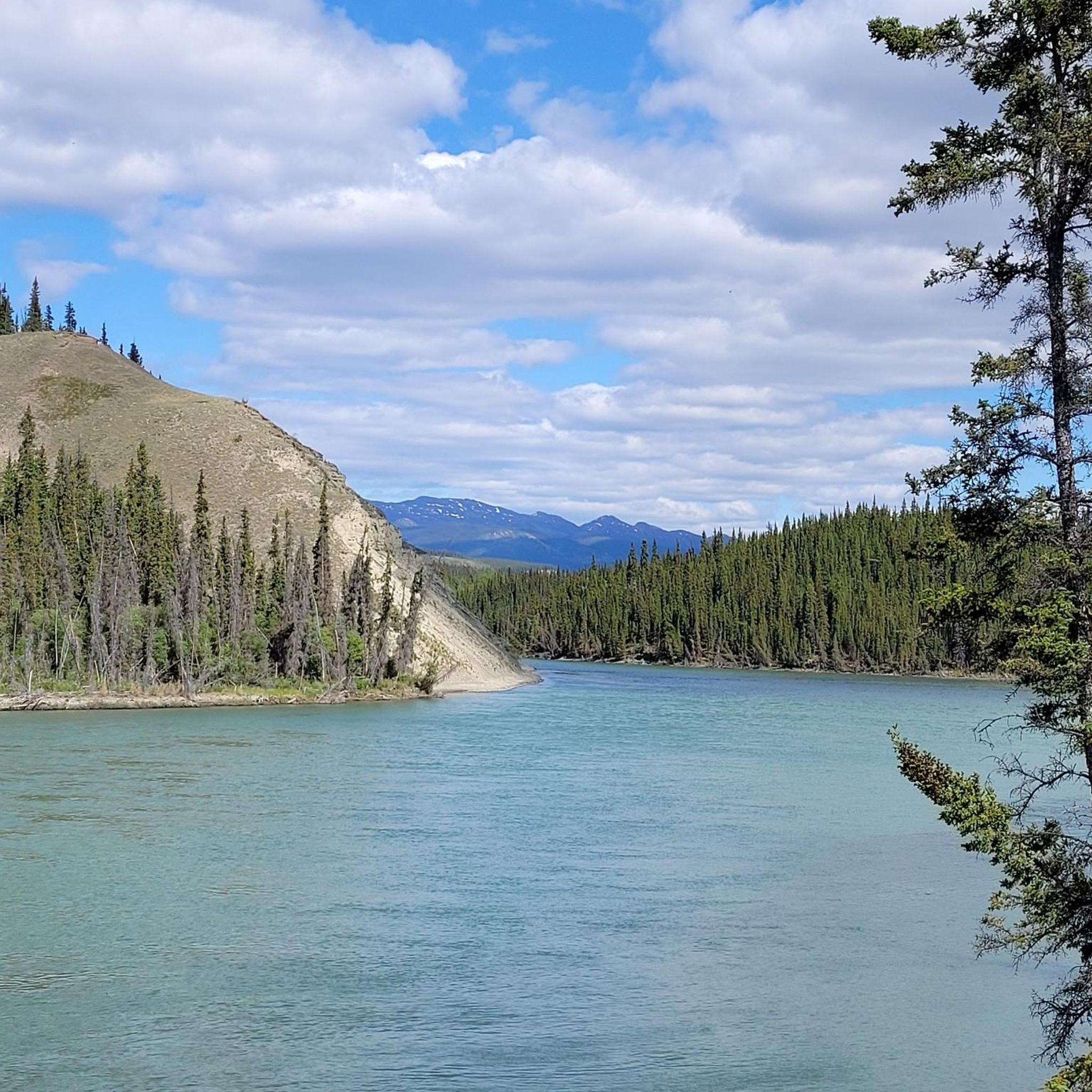
Whitehorse, the capital and largest city of the Yukon Territory in northwestern Canada, sits on the Yukon River, North America's third-longest river. Whitehorse is home to one of the world's longest wooden fish ladders that let salmon bypass the hydroelectric dam. The Kwanlin Dün First Nation and the Ta'an Kwäch’än Council lived here and used this river 10,000 years before settlers arrived.
1
0
The Yukon River Trail is the best way to see downtown Whitehorse, passing the visitor center, multiple parks, art installations, and historical plaques. The whole trail offers views of the Yukon River to the east, stunning at all times of year, but the temps can drop to -40°C during a cold snap.
0
0
This parking area is an excellent option if you don't have 4-wheel drive with decent clearance, as the official trailhead parking is down a rougher road 30 meters away. The entire road is dirt, so 4-wheel drive is safer for accessing the lake, especially in wet conditions. Hiking to the Fish Lake Trail from this parking area will give you more time to enjoy lakeside views.
0
0
Frequently Asked Questions
How many touring cycling routes are available in the Pelly Mountains?
There are 8 touring cycling routes available in the Pelly Mountains on komoot. These routes cater to various skill levels, including 3 easy, 4 moderate, and 1 difficult option.
Are there any family-friendly touring cycling routes in the Pelly Mountains?
Yes, there are several routes suitable for families. For an easier ride, consider the Yukon River loop from Riverdale, which is 7.7 km long and has minimal elevation gain. This allows for a pleasant experience for riders of varying abilities.
What is the best time of year to go touring cycling in the Pelly Mountains?
The best time for touring cycling in the Pelly Mountains is generally during the summer months. The region's higher elevations can retain snow into the summer, and the weather is most favorable for exploring the remote gravel roads and enjoying the natural landscape.
What kind of wildlife can I expect to see while cycling in the Pelly Mountains?
The Pelly Mountains are rich in wildlife. Cyclists often have opportunities to spot inland grizzly bears, Alaska-Yukon moose, caribou, thinhorn sheep, wolverines, and black bears. Sightings of bear, wolf, caribou, or moose are common, especially along the Pelly River.
Are there any circular touring cycling routes in the Pelly Mountains?
Yes, many of the touring cycling routes in the Pelly Mountains are loops. For example, the Whitehorse Dam – Miles Canyon Suspension Bridge loop from Yukon Arts Centre offers a 26.6 km circular path through river valleys and forested areas.
What are some notable natural features or landmarks to see along the touring cycling routes?
The Pelly Mountains offer diverse and striking topography. You can expect to traverse vast mountain landscapes, endless valleys, and pass alongside numerous rivers. Notable landmarks and points of interest include Grey Mountain Summit Trail, Grey Mountain Ridge, and Grey Mountain Cave. The region also features crystal lakes and dramatic mountain ranges like the Saint Cyr Range with views of Needle Rock and Granite Canyon.
What is the difficulty level of touring cycling in the Pelly Mountains?
Touring cycling in the Pelly Mountains can range from easy to difficult. The region is known for its rugged and remote wilderness, often involving remote gravel roads and significant elevation changes. For instance, the Rotary Centennial Bridge – Whitehorse Dam loop from Whitehorse is considered difficult due to its length and substantial elevation gain, while routes like the Shipyards Park – Yukon River loop from Whitehorse are moderate.
What do other touring cyclists enjoy most about the Pelly Mountains?
The Pelly Mountains are highly rated by the komoot community, with an average score of 3.0 stars. Cyclists often praise the sense of solitude, the vast mountain landscapes, and the immersive natural experience offered by the remote gravel roads and diverse terrain.
Are there any specific long-distance touring routes in the Pelly Mountains?
The North and South Canol Roads are prominent routes for touring cyclists seeking long-distance adventures. These remote gravel roads offer hundreds of miles of riding through forests, alongside small lakes and rivers, providing quiet and solitude. Multi-day trips are common on these routes, sometimes involving a Pelly River cable ferry crossing.
What kind of terrain can I expect on the touring cycling routes?
The terrain in the Pelly Mountains is diverse. You'll encounter boreal forests at lower elevations, dominated by spruce, pine, and aspen. Above the 4,500-foot timberline, the landscape transitions to alpine tundra. Routes often feature remote gravel roads, rolling hills, and areas affected by old forest fires, leading to high alpine vistas.
Are there any easy touring cycling routes for beginners in the Pelly Mountains?
Yes, there are easy options for beginners. The Yukon River loop from Riverdale is a good choice, being only 7.7 km long with minimal elevation gain, making it accessible for those new to touring cycling or looking for a relaxed ride.
What should I pack for a touring bike tour in the Pelly Mountains?
Given the remote and rugged nature of the Pelly Mountains, it's crucial to pack for self-sufficiency. Essential items include navigation tools, repair kits, sufficient food and water, appropriate clothing layers for varying weather conditions (including potential snow at higher elevations), and bear spray due to abundant wildlife. Be prepared for challenging conditions and limited services.
Most popular attractions in the Pelly Mountains

Get inspired with the komoot mobile app


Explore more
Browse the best Cycling routes in other regions.
