The best mountain hikes in Alt Pirineu
4.7
(9)
85
hikers
14
hikes
Mountaineering routes in Alt Pirineu traverse the largest natural park in Catalonia, characterized by rugged mountainscapes, high peaks, and extensive glacial formations. This region, bordering Andorra and France, features diverse ranges, steep valleys, and abundant alpine lakes. The landscape is primarily composed of granite, gneissose, and limestone, with evidence of past glaciation visible throughout its terrain.
Best mountaineering routes in Alt Pirineu
- The most popular mountaineering route is Pica d'Estats Summit – Pic Verdaguer loop from Refugi de Vallferrera,…
Last updated: July 4, 2026
4.5
(2)
14
hikers
14.3km
06:33
860m
860m
Hard mountaineering route. Very good fitness required. Sure-footedness, sturdy shoes and alpine experience required.
6
hikers
10.0km
05:02
820m
820m
Hard mountaineering route. Very good fitness required. Mostly accessible paths. Sure-footedness required.

Sign up for free
6
hikers
11.3km
04:49
690m
690m
Hard mountaineering route. Good fitness required. Sure-footedness, sturdy shoes and alpine experience required.
8
hikers
Moderate mountaineering route. Good fitness required. Mostly accessible paths. Sure-footedness required.
5.0
(1)
8
hikers
8.83km
04:10
700m
700m
Moderate mountaineering route. Good fitness required. Mostly accessible paths. Sure-footedness required.
Get access to more routes and recommendations from other explorers.
Sign up for free
Already have an account?
Our route recommendations are based on thousands of hikes, rides, and runs completed by other people on komoot.
Start today with a free account
Your next adventure awaits.
Login or Signup
Popular around Alt Pirineu
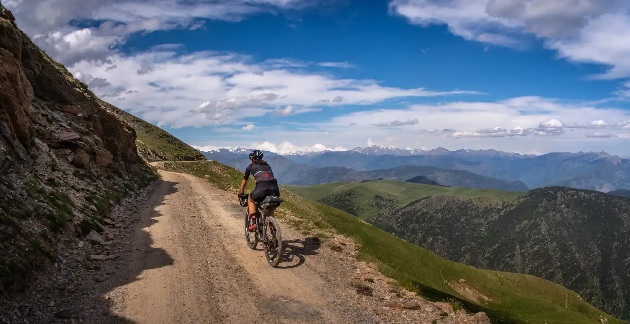
Pedals de Foc – An adventure through the Catalan Pyrenees

Road to Lisbon – bikepacking the Alps, Pyrenees and Picos de Europa

Haute Route Pyrénéenne – Pyrenees Crossing
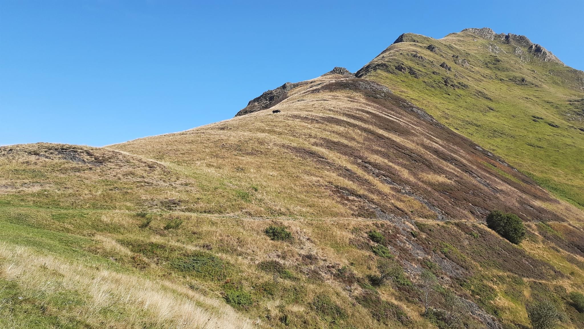
Tour of Mont Valier - The Giant of Ariège

On wild ridges: Catalonia to Ariège – Hexatrek, Eastern Pyrenees

Catalonia and Andorra on the Pyrenean Trail – GR 11
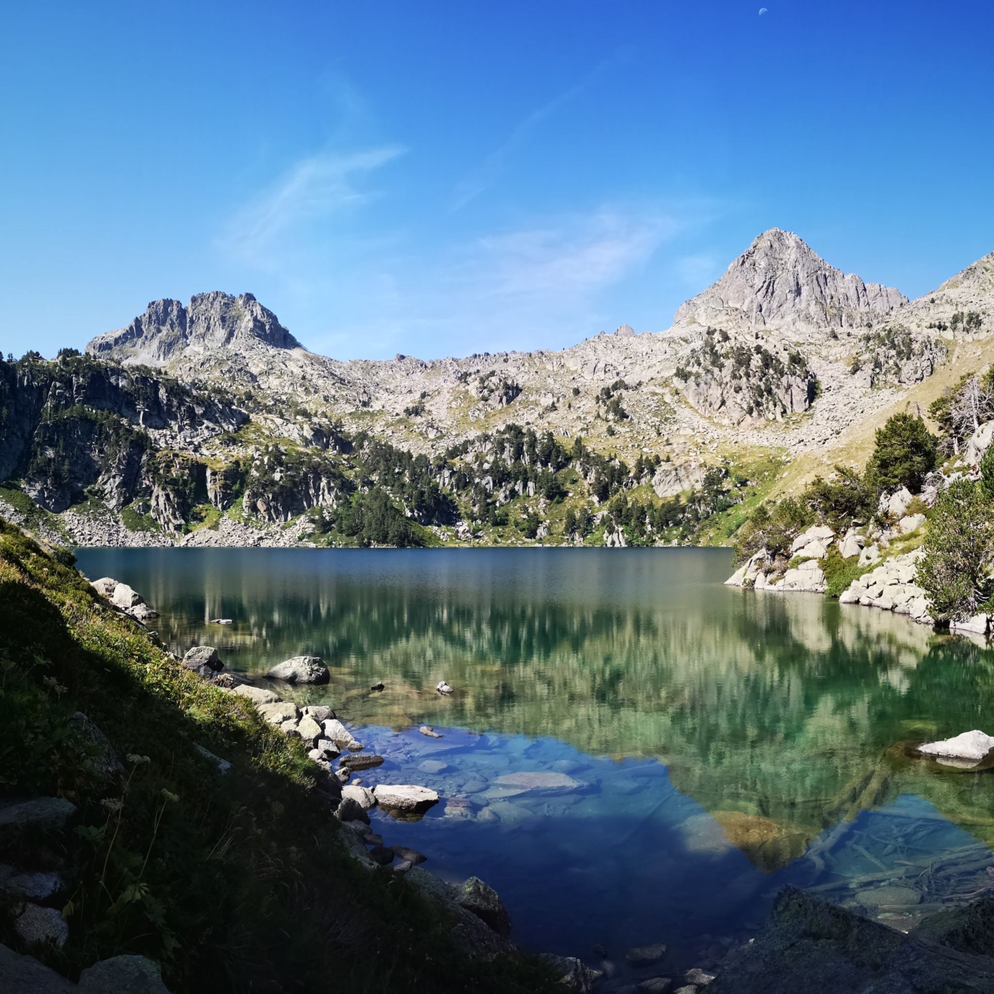
Hiking in Alt Pirineu
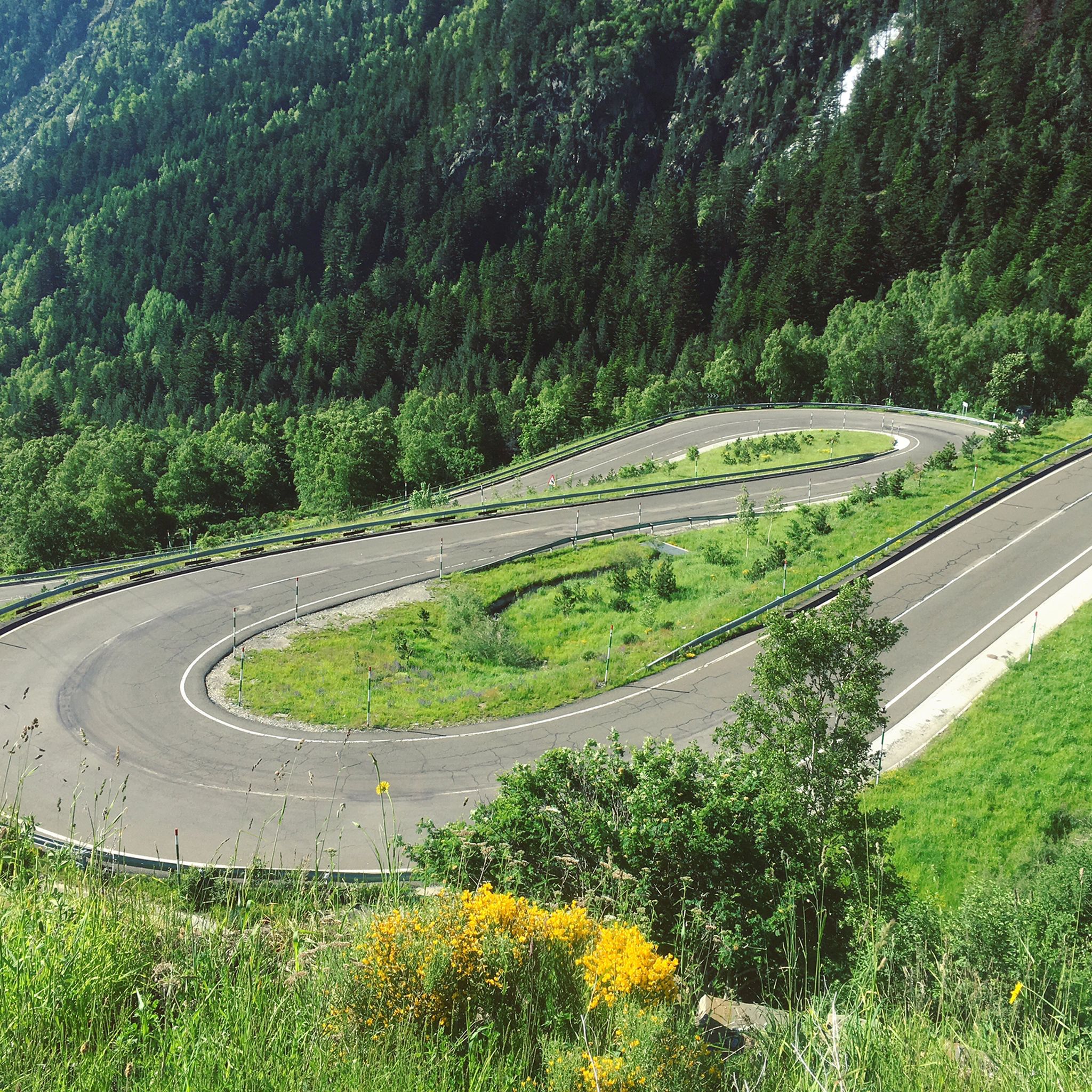
Road Cycling Routes in Alt Pirineu
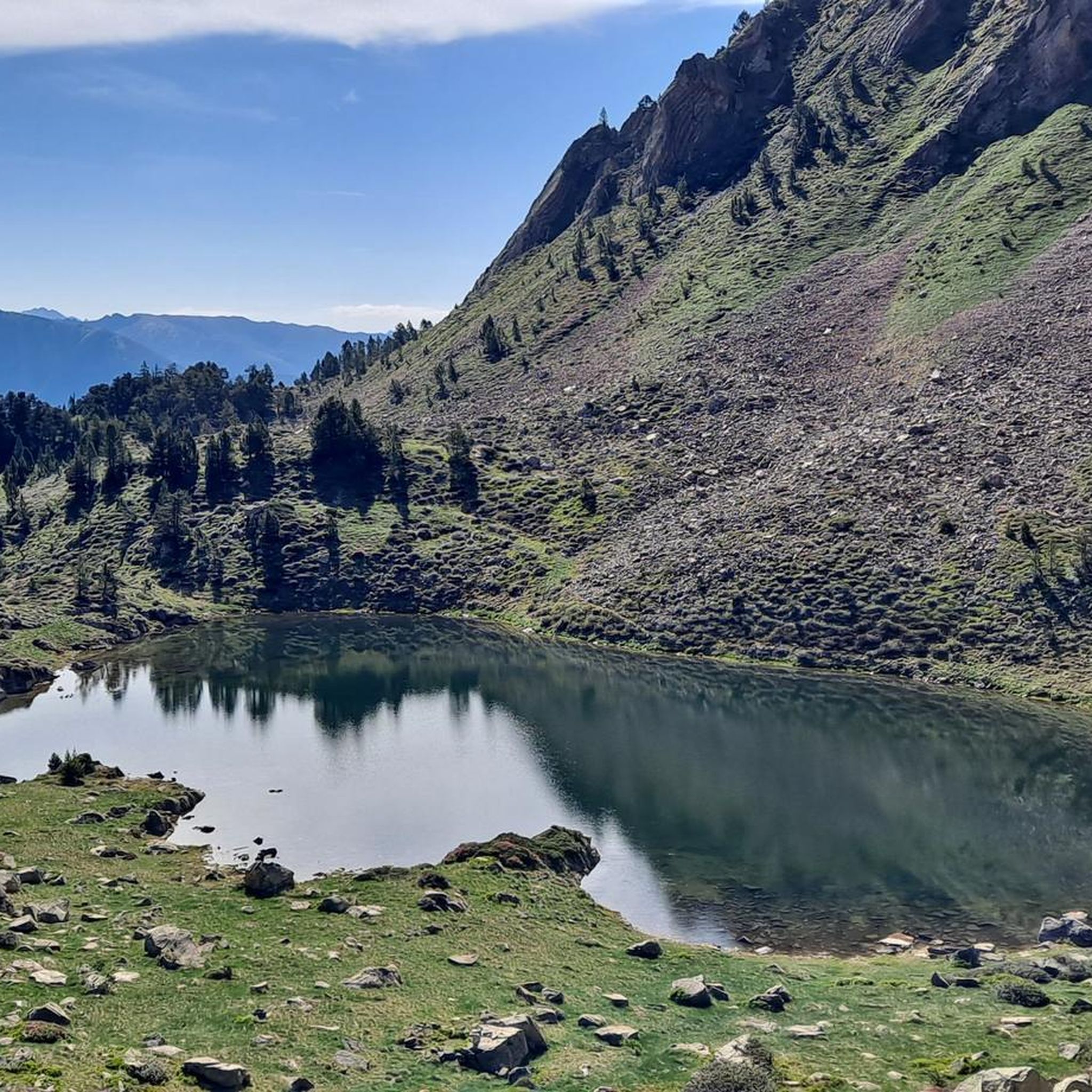
Running Trails in Alt Pirineu
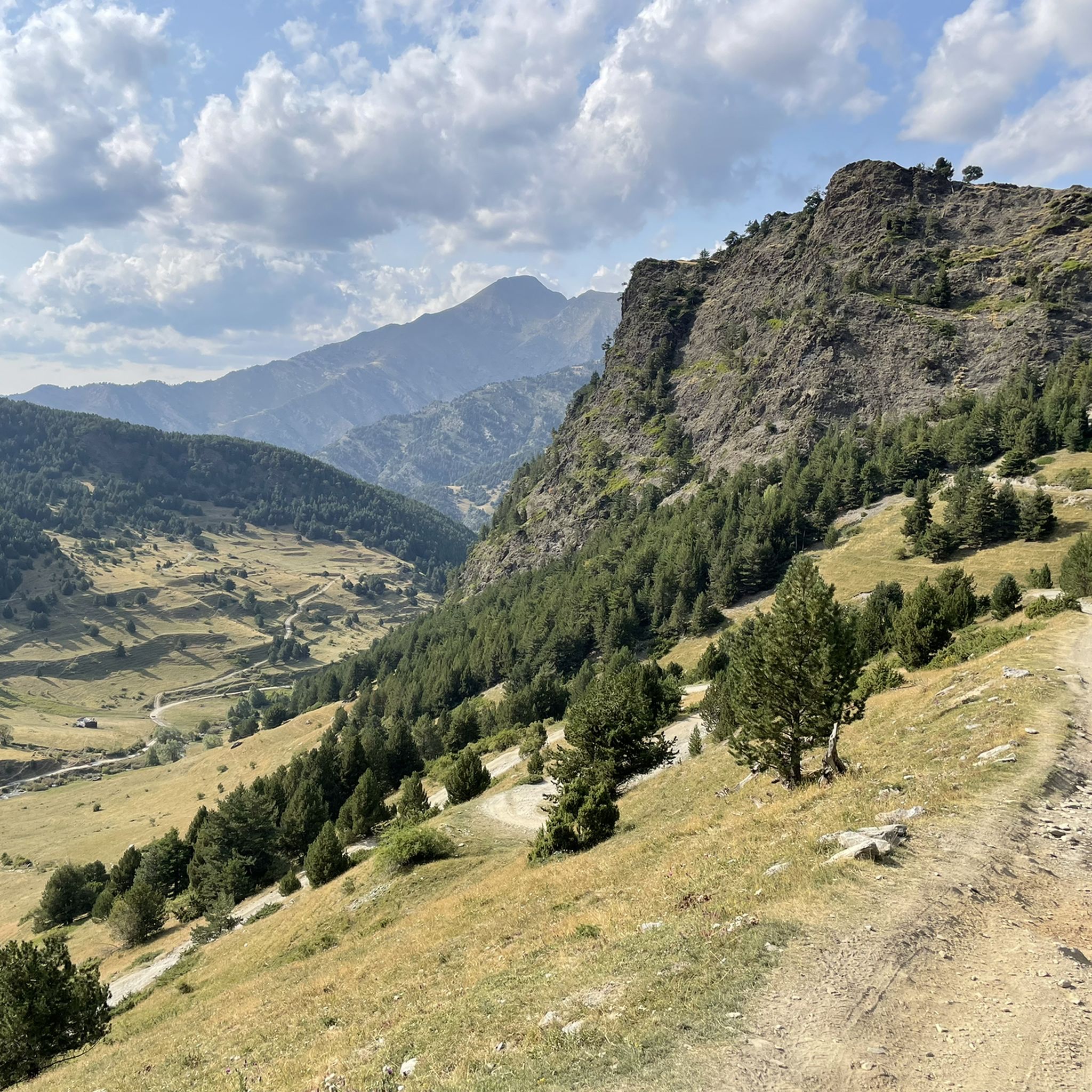
MTB Trails in Alt Pirineu
Other adventures in Alt Pirineu


Tips from the Community

When is the price per person per night?
0
0

Perhaps not the most comfortable bench, but a very photogenic one made of stone in a beautiful spot. During the season and on weekends when the weather is nice, the parking lot gets busy... Starting point for many different hiking and mountain tours. Please open the image for portrait format.
2
0
A scenic parking lot above the reservoir. From here, you can start a variety of hikes and mountain tours, including the shortest (but challenging T4) ascent to the Pica d'Estats, Montcalm, and Pic de l'Étang Fourcat. However, in good weather and on weekends, this spot is very busy, so even the plentiful parking spaces are limited. Mountaineers who want to avoid this should set off early.
2
0

The river originates in the heights of the Comapedrosa area, at a considerable altitude, and descends through a steep valley, contributing to the Arinsal River. The waterfall is one of the most impressive in the region, with a waterfall that, although not extremely high, is known for its beauty and the force of the water, especially in spring, when the thaw feeds the river flow. The waterfall is located at an altitude of approximately 1,800 meters above sea level and is accessible through hiking routes that start from Arinsal or the Pla del Estany Refuge.
0
0
From the usual starting point in Arinsal, the route to the Pla del Estany Refuge covers approximately 4 kilometres of ascent. The route has a positive gradient of about 500 metres, which makes it quite demanding, especially in the final sections. The lake is located at an altitude of approximately 2,056 metres above sea level. It is a relatively small lake, with a modest surface area, suitable for enjoying the serenity of the surrounding mountain landscape.
0
0

Beautiful cabin used for livestock farming, with a vegetal roof created by means of a lowered vault.
0
0

Gerber Lake is the largest lake in the valley, enclosed by spectacular rock walls. If we want to enjoy a good view of the lake we must ascend a little along the path that goes up on its left side.
0
0
The Mataró refuge, Gerber refuge or Gerber metallic refuge, is located next to La Isla lake, in the Gerber valley, at 2,460 meters of altitude. From the refuge we have magnificent views over the Gerber valley, the lakes we passed on the way up (Estanyola de Gerber, Estany Gerber, Estany Llong, Estany L´Illa) and the peaks that surround us Pic de Saboredo, Pic d´ Medias or Pico de Bassiero).
0
0
Frequently Asked Questions
How many mountaineering routes are available in Alt Pirineu?
Alt Pirineu offers a wide array of mountaineering opportunities, with over 20 routes documented on komoot. These routes traverse the region's rugged mountainscapes, high peaks, and extensive glacial formations, providing diverse experiences for mountaineers.
What is the general difficulty level of mountaineering routes in Alt Pirineu?
The majority of mountaineering routes in Alt Pirineu are considered challenging. Out of the 23 routes, 16 are classified as difficult, and 7 as moderate. This reflects the region's high-altitude terrain, steep valleys, and demanding ascents, including the highest peaks in the Catalan Pyrenees.
What do other mountaineers say about the routes in Alt Pirineu?
The mountaineering routes in Alt Pirineu are highly regarded by the komoot community, boasting an average rating of 4.8 stars from over 17 reviews. Users frequently praise the stunning panoramic views, the challenging yet rewarding ascents, and the pristine natural beauty of the Pyrenean landscape.
When is the best season for mountaineering in Alt Pirineu?
The ideal season for mountaineering in Alt Pirineu is typically during the summer and early autumn months, from June to September. During this period, the weather is generally more stable, and the high-altitude trails are mostly free of snow, making for safer and more enjoyable ascents. However, year-round snowcaps can still be found at higher elevations.
Are there any circular mountaineering routes in Alt Pirineu?
Yes, Alt Pirineu features several excellent circular routes that allow you to experience diverse landscapes without retracing your steps. For instance, consider the challenging Pica d'Estats Summit – Pic Verdaguer loop from Refugi de Vallferrera, which takes you to the highest peak in Catalonia, or the Canal de Tuqueta de Saboredo loop from Port de la Bonaigua, offering expansive alpine scenery.
Can I find routes with waterfalls in Alt Pirineu?
While the region is known for its abundant lakes, you can also discover routes featuring beautiful waterfalls. For example, the Artiga de Lin Waterfall – Estany Negre loop from Arinsal offers a challenging journey through stunning natural scenery, including the impressive Artiga de Lin Waterfall.
What are some notable natural attractions to see while mountaineering in Alt Pirineu?
Alt Pirineu is rich in natural wonders. You can encounter numerous glacial lakes, such as Gerber Lake, and of course, the iconic Pica d'Estats, the highest peak in Catalonia. The landscape also features rugged mountain passes like Port del Cantó (1,721 m), offering breathtaking views.
Are there mountain huts available for multi-day treks in Alt Pirineu?
Yes, Alt Pirineu is well-equipped with mountain huts that support multi-day treks and mountaineering expeditions. These huts provide essential accommodation and a base for exploring the high-altitude terrain. Notable options include Refugi Certascan and Refugi de Baiau Josep Maria Montfort, among others.
What kind of wildlife can I expect to see in the Alt Pirineu mountains?
Alt Pirineu Natural Park is a biodiversity hotspot. As you traverse its varied landscapes, from Mediterranean forests to alpine flora, you might encounter a range of protected species. Keep an eye out for chamois, marmots, and various bird species, including raptors, which thrive in this rugged environment.
Are there any particularly challenging routes for experienced mountaineers?
Absolutely. For experienced mountaineers seeking a significant challenge, the ascent of Pica d'Estats is a must. The Pic Verdaguer – Pica d'Estats Summit loop from L'Artigue is a demanding route that covers nearly 20 km with significant elevation gain, offering an intense and rewarding high-alpine experience.
Are dogs allowed on the mountaineering trails in Alt Pirineu?
While many areas in natural parks in Catalonia are dog-friendly, specific regulations can vary, especially in protected zones or on certain trails. It's always best to check the current rules and guidelines of the Alt Pirineu Natural Park before heading out with your dog, particularly regarding leash requirements and restricted areas to protect wildlife.
Are there any routes that offer views of the region's many lakes?
Yes, the Alt Pirineu region is famous for its numerous glacial lakes, and many routes offer spectacular views of these water bodies. The View of Étang de Soulcem loop from Étang de Soulcem is a prime example, leading you through rugged glacial landscapes with stunning vistas of the lake.
Most popular routes in Alt Pirineu
Most popular attractions in Alt Pirineu

Get inspired with the komoot mobile app


Explore more
Browse the best Mountain Hikes & Routes in other regions.
