The best running trails around Río Anllóns
5.0
(3)
318
runners
58
runs
Jogging around Río Anllóns offers a variety of routes through diverse landscapes. The region is characterized by its riverine environment, featuring paths along the Anllóns River, as well as forested areas and coastal sections near inlets and islands. Elevation changes are generally moderate, with some routes including gentle hills, making it suitable for various fitness levels. The terrain often includes a mix of natural trails and established paths.
Best jogging routes around Río Anllóns
- The most popular jogging route is…
Last updated: July 1, 2026
18
runners
34.8km
04:25
770m
770m
Hard run. Very good fitness required. Sure-footedness, sturdy shoes and alpine experience required.
16
runners
11.8km
01:14
90m
90m
Moderate run. Good fitness required. Mostly paved surfaces. Suitable for all skill levels.

Sign up for free
11
runners
12.6km
01:34
140m
140m
Moderate run. Good fitness required. Mostly paved surfaces. Suitable for all skill levels.
4
runners
5.39km
00:35
40m
40m
Moderate run. Good fitness required. Mostly paved surfaces. Suitable for all skill levels.
3
runners
6.71km
00:47
90m
90m
Moderate run. Good fitness required. Mostly paved surfaces. Suitable for all skill levels.
3
runners
5.16km
00:33
60m
60m
Moderate run. Good fitness required. Mostly paved surfaces. Suitable for all skill levels.
Get access to more routes and recommendations from other explorers.
Sign up for free
Already have an account?
Our route recommendations are based on thousands of hikes, rides, and runs completed by other people on komoot.
Start today with a free account
Your next adventure awaits.
Login or Signup

Tips from the Community

Roncudo is one of the few villages in the area that isn't architecturally ruined. It's just difficult to get there...
0
0

A typical old village. These include the granaries called Horreos.
1
0
These walls can be found everywhere
1
0
You can often see them along the way, the stone walls.
2
0

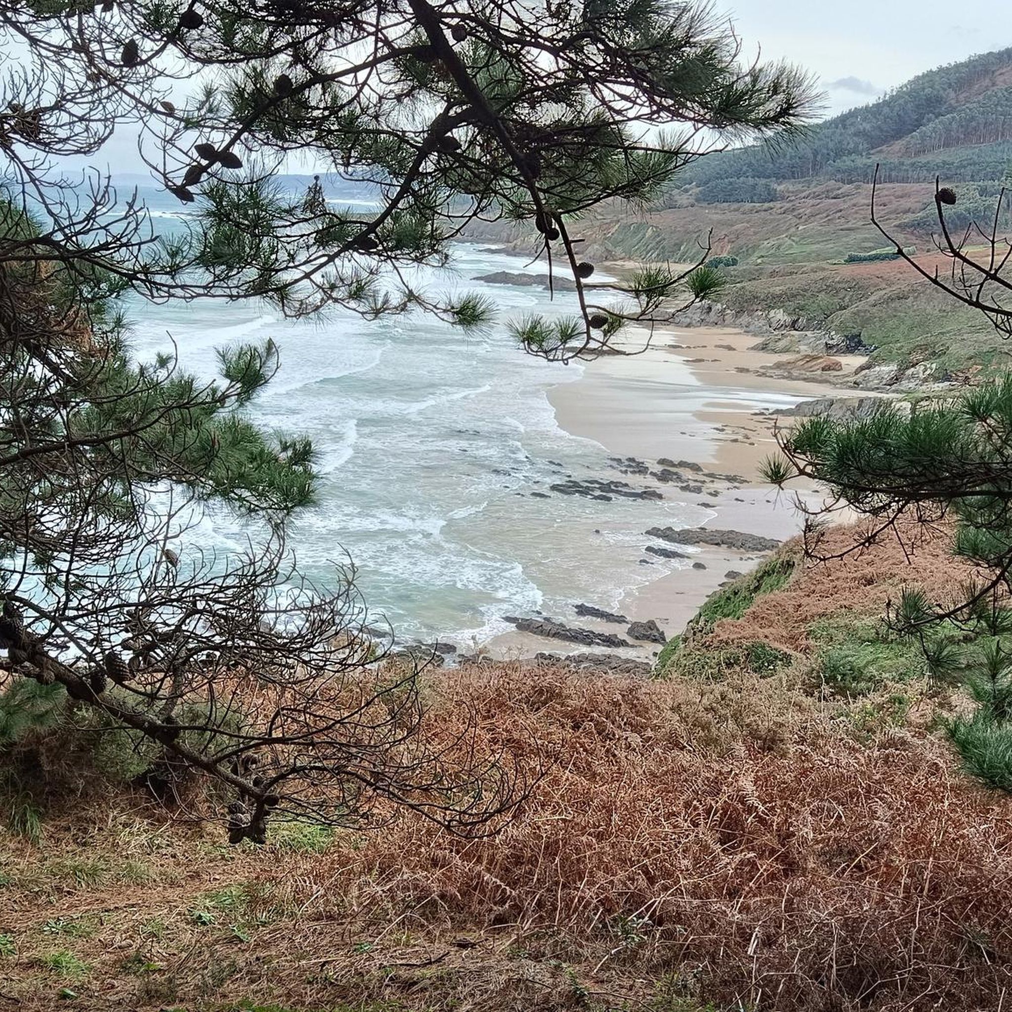
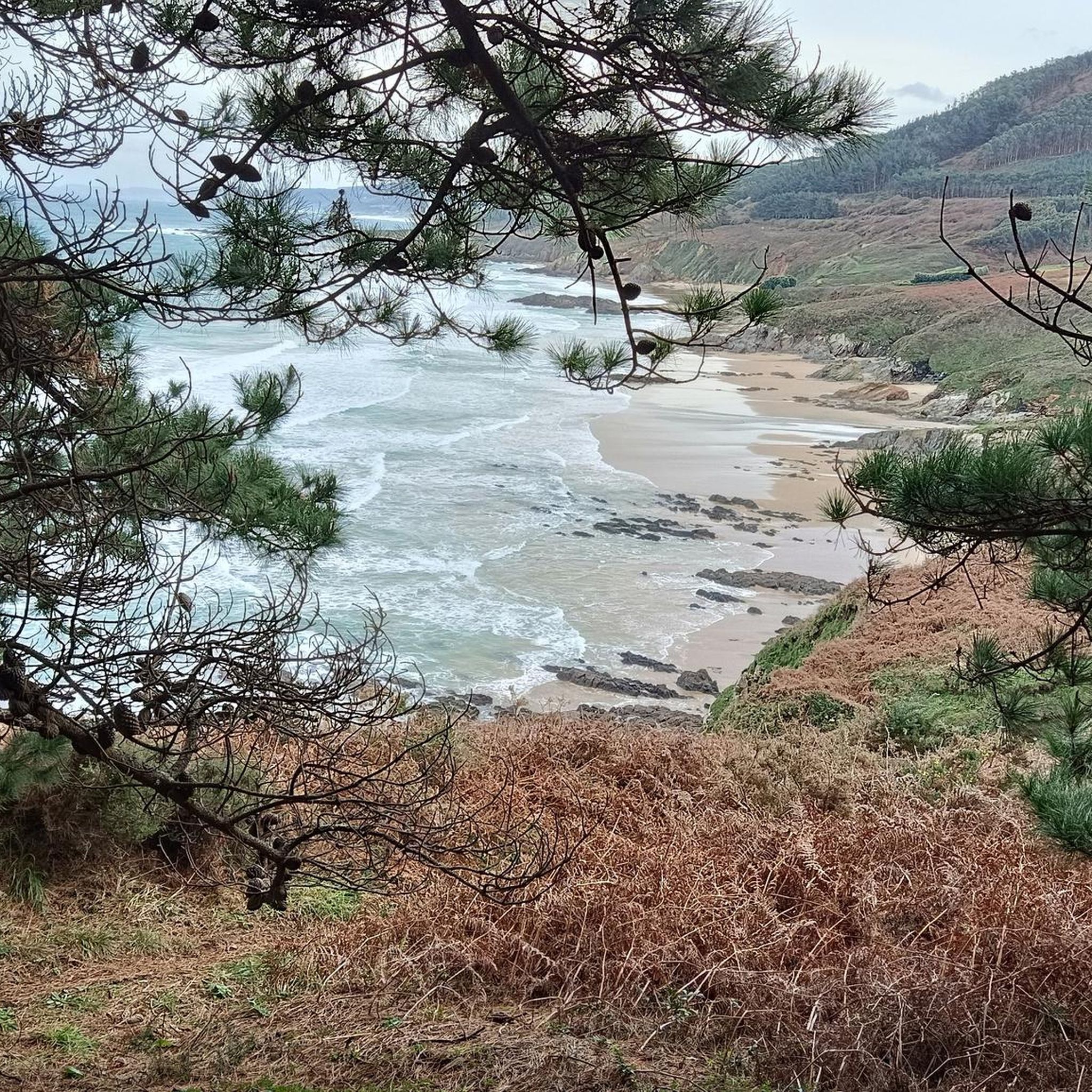
View of Isla Estrella and beach off the coast of Corme and Punta de Furna
2
0
View of Tiñosa Island from Barra beach, dune peninsula in the Anllons river month
2
1

Beautiful views Malecón and Anllóns river
0
0

The place name Anllóns, which gives the river its name, could come from angulones, from the Latin angulus, which would refer to the meanders of its mouth.
0
0
Frequently Asked Questions
How many running routes are available in the Río Anllóns region?
The Río Anllóns area offers a wide selection of running routes, with over 60 different trails to explore. These routes cater to various fitness levels, including easy, moderate, and difficult options.
Are there any easy or beginner-friendly jogging trails around Río Anllóns?
Yes, the region has 7 easy running routes perfect for beginners or those looking for a relaxed jog. One example is the Running loop from Fonte da Cristina, which is just under 3 miles (4.7 km) long.
What kind of terrain can I expect on the jogging routes in Río Anllóns?
The terrain around Río Anllóns is quite varied. You'll find paths along the Anllóns River, through forested areas, and even coastal sections near inlets and islands. The routes often feature a mix of natural trails and established paths, with generally moderate elevation changes.
Are there any circular running routes in Río Anllóns?
Many of the running routes in Río Anllóns are circular, offering convenient starting and ending points. For instance, the popular View of Isla Tiñosa – Anllóns Trail loop from Ponteceso is a moderate 7.9 miles (12.6 km) loop, and the Bosque do Añón loop from Carballo is a shorter 4.2 miles (6.7 km) option through woodlands.
What do other runners say about the trails in Río Anllóns?
The running trails in Río Anllóns are highly regarded by the komoot community, holding an average rating of 4.5 stars from numerous reviews. Runners often praise the diverse scenery, from river paths to coastal views and forested sections.
Are the jogging routes in Río Anllóns suitable for families?
While specific 'family-friendly' designations aren't always explicit, many of the 7 easy routes and some of the moderate trails with lower elevation gains would be suitable for families. Look for shorter, less challenging loops like the Running loop from Fonte da Cristina for a good starting point.
Can I bring my dog on the running trails in Río Anllóns?
Generally, dogs are welcome on many outdoor trails in Spain, especially in natural areas. However, it's always recommended to check local signage at trailheads for specific restrictions, especially regarding leash requirements or protected areas. Always ensure your dog is under control and clean up after them.
What is the best time of year to go jogging in Río Anllóns?
The Río Anllóns region, being in Galicia, generally experiences mild temperatures. Spring and autumn often offer the most pleasant conditions for running, with comfortable temperatures and lush scenery. Summer can be warm, especially midday, while winter can be cooler and wetter, but still offers opportunities for jogging.
Are there any viewpoints or scenic spots along the running routes?
Yes, the region's diverse landscape provides several scenic spots. Routes like the View of Isla Tiñosa – Anllóns Trail loop from Ponteceso offer beautiful views of the Anllóns River and Isla Tiñosa, combining riverside and coastal scenery.
Are there options for longer distance running or more challenging trails?
Absolutely. For experienced runners seeking a challenge, there are 10 difficult routes available. The longest and most challenging is the Monte de Allariz – Enseada de Grixoa loop from Ponteceso, a 21.7 miles (35.0 km) trail with significant elevation gain, typically taking over 4 hours to complete.
What are the typical durations for jogging routes in Río Anllóns?
Running route durations vary significantly. Shorter, easy routes can take less than an hour, such as the Running loop from Carballo at 5.4 km (3.4 miles) which takes about 35 minutes. Moderate routes typically range from 1 to 2 hours, while difficult and longer trails can extend to 4 hours or more, like the 21.7 miles (35.0 km) Monte de Allariz – Enseada de Grixoa loop from Ponteceso.
Is parking generally available near the trailheads in Río Anllóns?
In towns like Ponteceso and Carballo, which serve as common starting points for many routes, you can typically find public parking. For more remote trailheads, parking might be less formal, often roadside or in small designated areas. It's advisable to check the specific route details on komoot for parking suggestions if you're driving.
Most popular routes around Río Anllóns

Get inspired with the komoot mobile app


Explore more
Browse the best Running Trails & Routes in other regions.
