The best walks and hikes around Parco naturale del Campo dei Fiori
4.3
(8368)
38,035
hikers
28
hikes
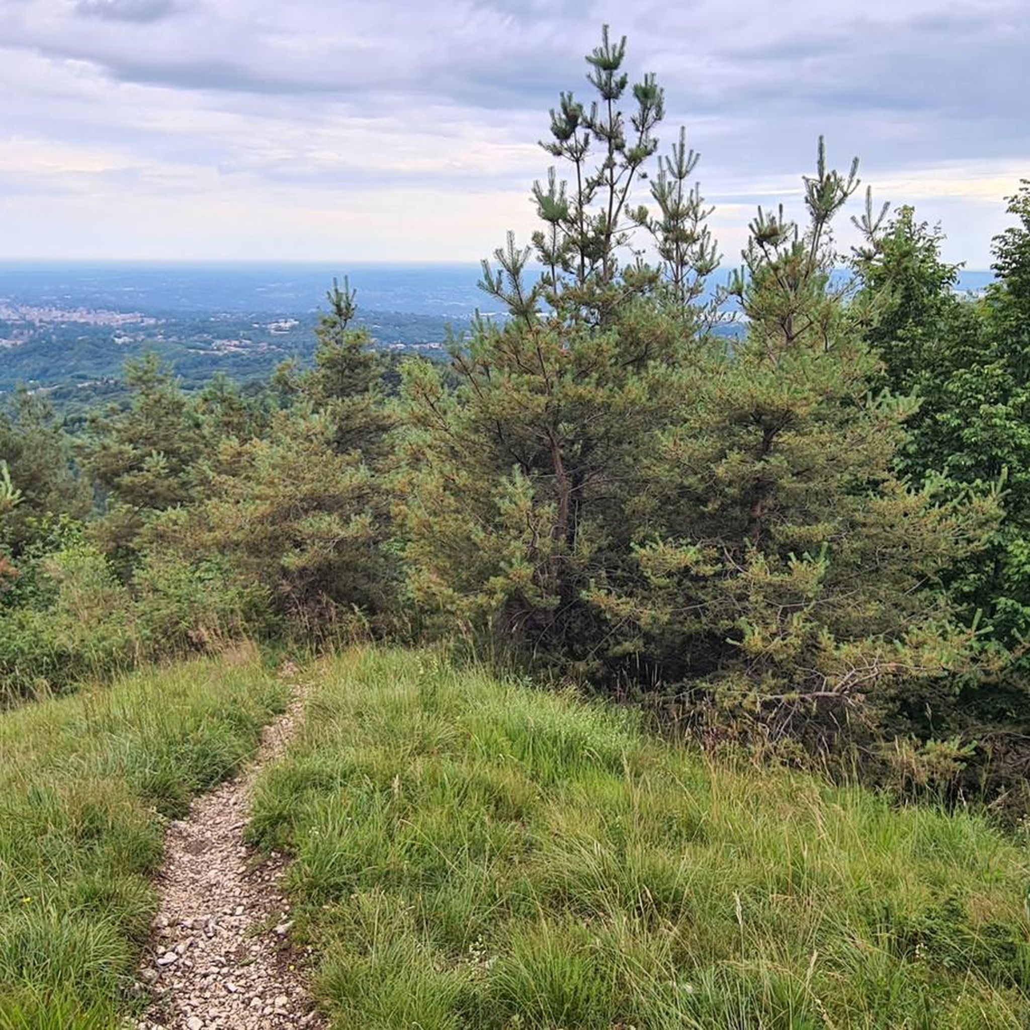
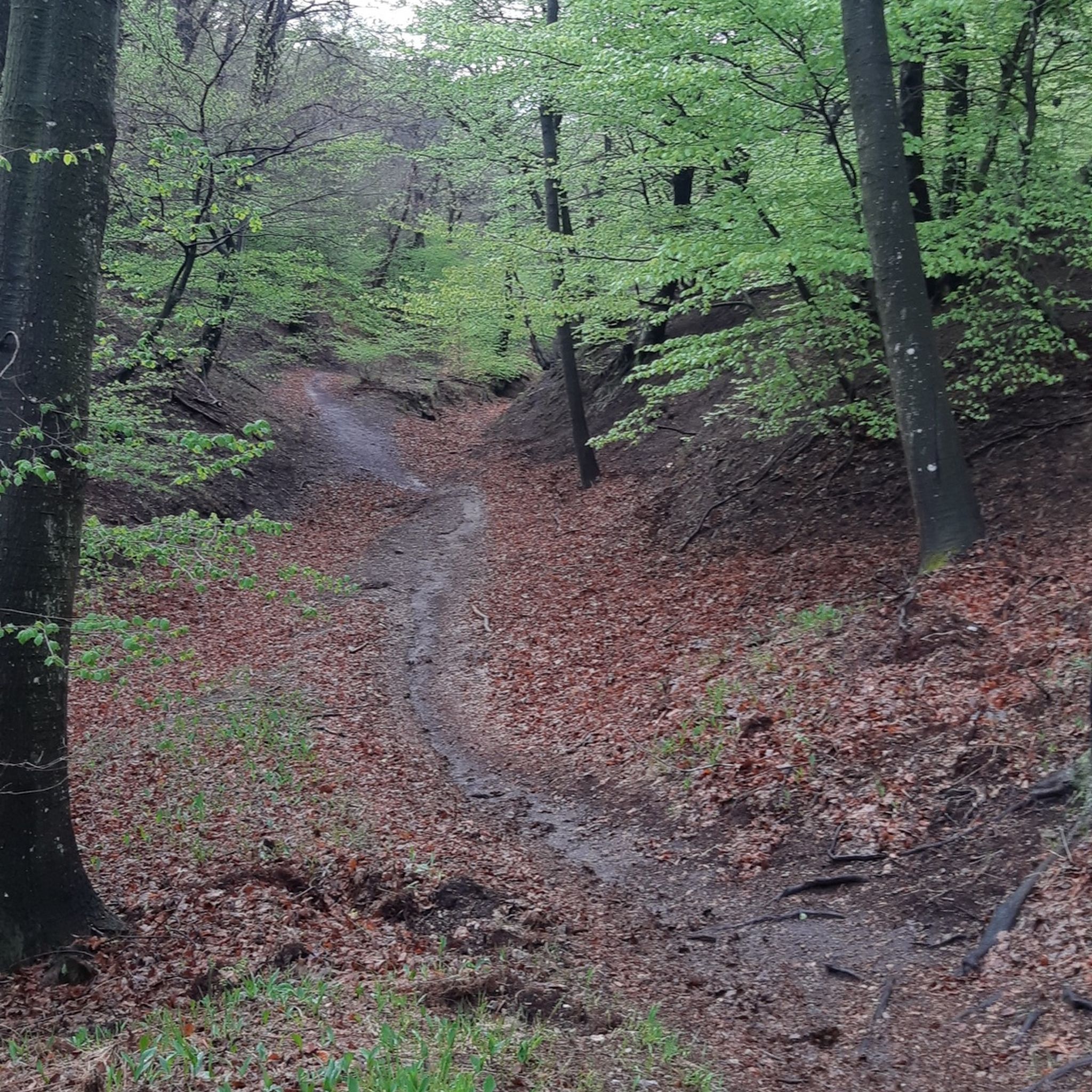
Hiking trails around Parco naturale del Campo dei Fiori traverse a diverse landscape north of Varese, Italy. The park features two main massifs, Campo dei Fiori and Martica, separated by the Rasa Valley, offering varied terrain. Hikers encounter lean meadows, dense chestnut and beech forests, and areas with significant karst phenomena. The region includes several nature reserves, providing a range of natural features for exploration.
Best hiking trails around Parco naturale del Campo dei Fiori
- The most popular hiking route is Monte Martica e Monte Muraccio – loop tour, a 5.6 miles (9.0 km) trail that takes 3 hours 38 minutes to complete. This route explores the Martica massif, known for its forests and geological features.
- Another top favourite among local hikers is From Ganna to Birnzio Lake – loop tour, a moderate 9.8 miles (15.8 km) path. This trail offers views of Lake Brinzio and passes through varied forest environments.
- Local hikers also love the Sacro Monte di Varese pilgrimage trail (via Route 310C), a 7.1 miles (11.4 km) trail leading through cultural landmarks and offering panoramic views, often completed in about 3 hours 58 minutes.
- Hiking around Parco naturale del Campo dei Fiori is defined by its two massifs, extensive forests, and karst formations. The network offers options for easy, moderate, and difficult trails, catering to various fitness levels.
- The routes in Parco naturale del Campo dei Fiori are highly rated by the komoot community with an average score of 4.2 stars from over 1900 reviews. More than 10000 hikers have used komoot to explore Parco naturale del Campo dei Fiori's varied terrain.
Last updated: July 7, 2026
4.1
(28)
60
hikers
8.95km
03:38
540m
540m
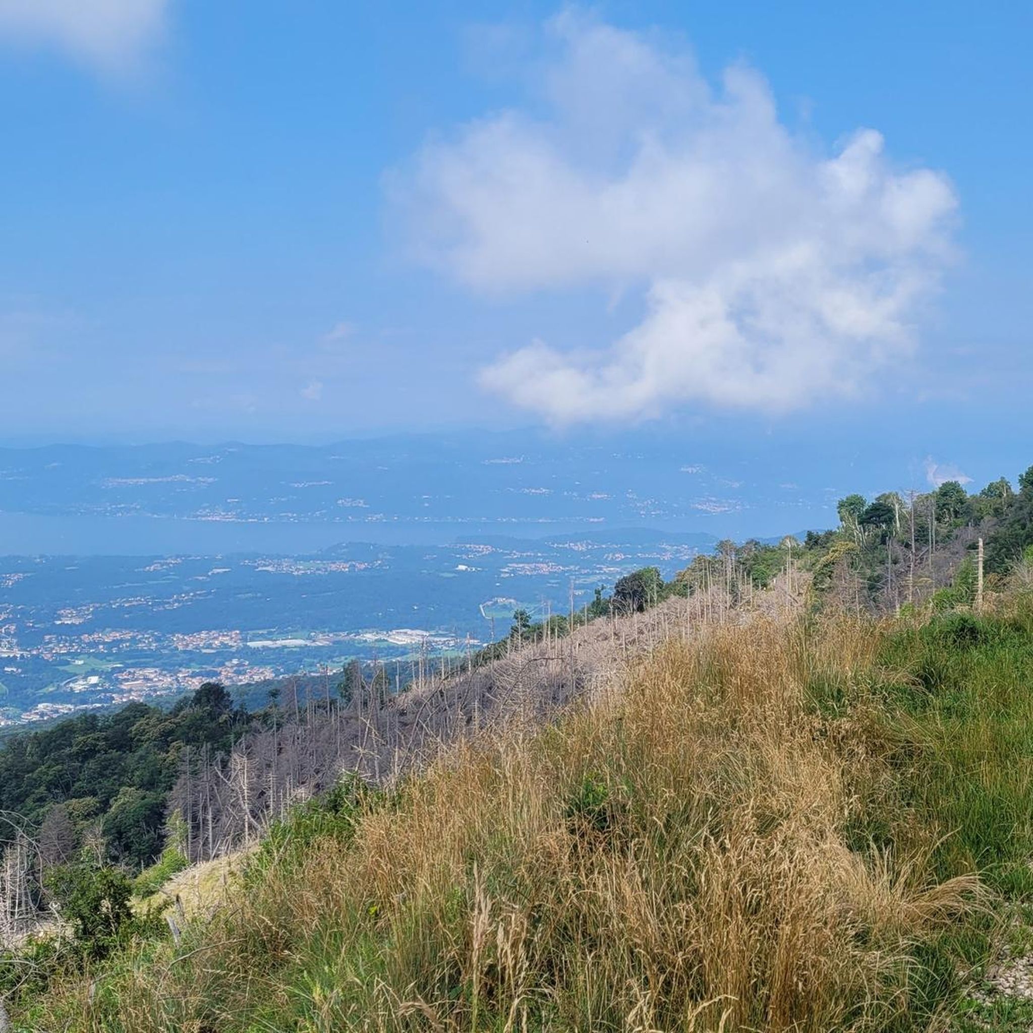
Embark on the Monte Martica e Monte Muraccio loop tour, a moderate to hard hike in the Lombardy region's Varese Prealps. This route, covering 5.6 miles (8.9 km) with a significant 1773 feet (540 metres) of elevation gain, typically takes around 3 hours and 38 minutes to complete. You will traverse dense mixed woodlands, including beech and pine forests, and encounter rugged terrain with old cobbled military roads and steep, exposed rock formations, leading to a panoramic rock near Monte Martica's summit adorned with a cross and summit book. From various viewpoints, you can enjoy sweeping vistas of the Po Plain, Lago Maggiore, and other surrounding lakes, with distant glimpses of Monte Rosa and the Vallesane Alps on clear days.
Planning your visit requires a good level of fitness and sure-footedness for this challenging route. Appropriate hiking footwear and weather-appropriate clothing are essential due to the varied and sometimes demanding terrain. Be prepared for steep ascents and sections that may be unpaved and difficult. While the research does not specify trailhead access or parking details, ensuring you are well-equipped will make your experience more enjoyable.
Beyond its natural beauty, the trail offers a glimpse into history with extensive World War I fortifications, part of the "Linea Cadorna," including fortified squares and artillery posts on Monte Martica. You can also discover the abandoned Valvassera Mines and the lesser-known Valvassera Falls, reachable by a short walk in the riverbed. This blend of natural scenery and historical significance makes the Monte Martica e Monte Muraccio loop a unique and rewarding adventure.
3.9
(16)
33
hikers
15.8km
04:46
430m
430m
Embark on the From Ganna to Birnzio Lake – loop tour, a moderate hike that connects two picturesque lakes and offers diverse terrain. You will navigate natural, unpaved sections, as well as asphalt, gravel, and cobbled roads, including a challenging ascent up the northern slopes of Monte Martica. This 9.8-mile (15.8 km) route features 1405 feet (428 metres) of elevation gain and typically takes about 4 hours and 46 minutes to complete, requiring good fitness and sure-footedness.
As you plan your visit, note that the trail is classified as SAC 2-3, indicating its moderate difficulty. The route starts near the historic Abbey of San Gemolo in Ganna. You will find a large picnic area near Brinzio with tables and benches, perfect for a mid-hike break. The trail winds through the Campo dei Fiori Regional Park, ensuring a natural and protected environment for your adventure.
This loop tour highlights the natural beauty and cultural significance of the region, passing through areas like the Valicci alpine pasture with its well-managed beech woods and traditional chalets. You will discover Lake Brinzio, often called the “Whale Lake” due to a local legend, and can admire the Pesegh Waterfall from both above and below. The trail also features charming cobbled streets in the classic “rizzada” style, especially around Brinzio, adding a touch of traditional character to your hike.

Sign up for free
4.0
(4)
22
hikers
12.5km
04:26
570m
570m
Embark on the From the Valvassera mines to San Gemolo – loop tour, a moderate hike spanning 7.8 miles (12.5 km) with an elevation gain of 1854 feet (565 metres), typically taking around 4 hours and 26 minutes. You will traverse varied terrain, from well-maintained paths and natural trails to sections of loose ground and gravel, winding through peaceful beech and ash forests. The route often follows the shaded banks of the Rio Pralugano, crossing it via a charming wooden bridge, and offers glimpses of Monte Martica and potentially Lake Ganna.
To enjoy this loop, you should possess good basic fitness and be sure-footed, as some sections present a moderate challenge. The starting point for the tour is conveniently located near a parking lot, often adjacent to the Badia di San Gemolo, making access straightforward. You will find a designated picnic area with tables and benches near the abandoned mine, perfect for a rest and a snack.
This trail is rich in history and natural beauty, leading you past the abandoned Valvassera mines and to the legendary San Gemolo spring. Here, local lore suggests the water turns stones red from a martyred saint's blood, and you can visit an ancient chapel with origins dating back centuries. Sections of the route also pass through the Riserva Naturale Orientata del Lago di Ganna, offering unique insights into the region's ecosystem.
4.0
(8)
38
hikers
Woodland trail to legendary red-stained spring and dramatic travertine caves with waterfalls.
5.0
(4)
11
hikers
11.4km
03:58
460m
460m
Historic pilgrimage trail through fourteen Baroque chapels leading to sacred mountain views over the Po Valley.
Get access to more routes and recommendations from other explorers.
Sign up for free
Already have an account?
Our route recommendations are based on thousands of hikes, rides, and runs completed by other people on komoot.
Start today with a free account
Your next adventure awaits.
Login or Signup
Popular around Parco naturale del Campo dei Fiori

Tips from the Community

Space for 7 cars. There is a container in one more parking lot.
0
0

Chapel Four 🏛The Annunciation Sacro Monte⛰
0
0
Chapel Four 🏛 The Annunciation Sacro Monte⛰
0
0

The foundation stone of the building was laid on 25 March 1605, the day on which the Annunciation is celebrated. The statue of the Virgin, placed in front of a kneeler, and the statue of the Archangel Gabriel, donated by the municipality of Orta, are the work of Cristoforo Prestinari (1610), who left his signature and the date on the base of the Archangel. In this room, the appearance of a Lombardy dwelling at the beginning of the 17th century has been recreated. It contains a carved and gilded bed, bellows for the fireplace, sideboard and earthenware, as well as objects of everyday use.
1
0

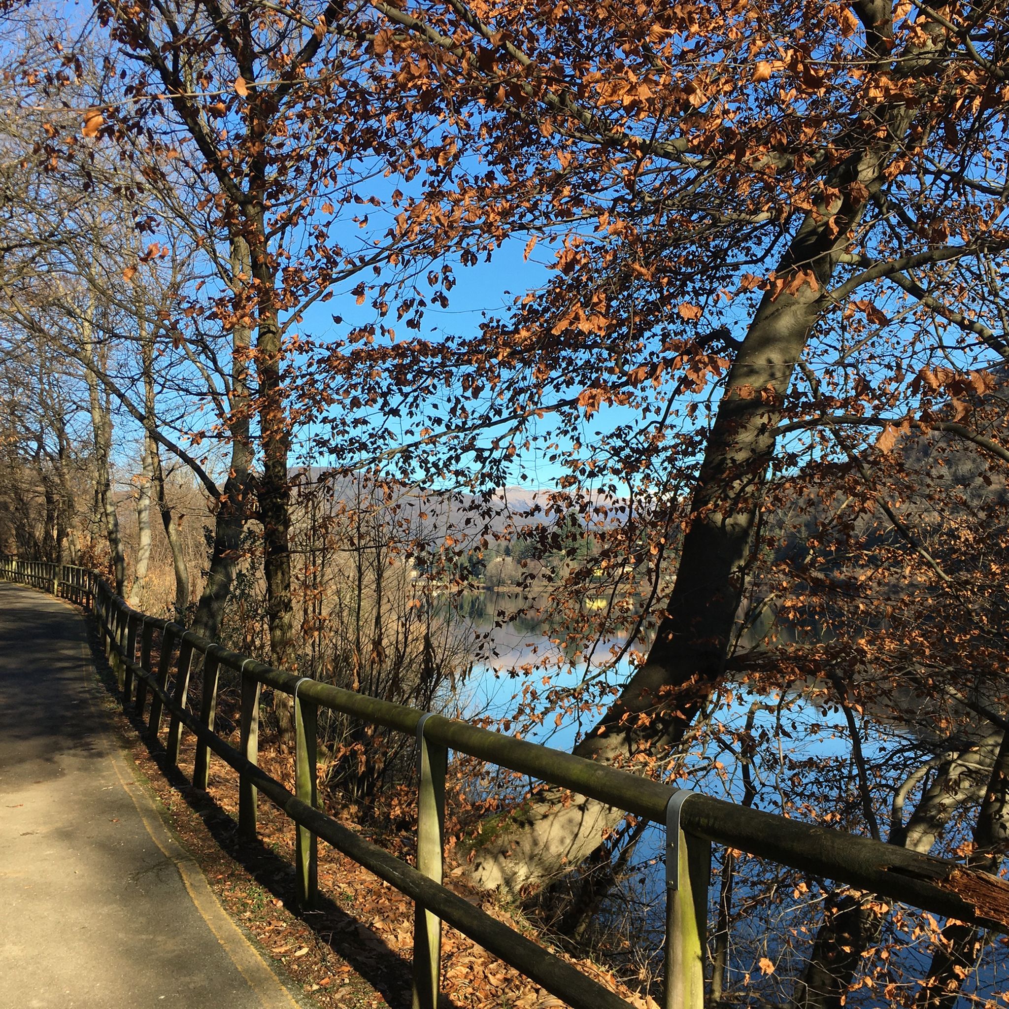
The Brizio lake is a small natural basin surrounded by nature. Near the banks, not far from the beach, there are benches perfect for resting during the walk.
1
0
In the woods not far from Brinzio there is this large picnic area equipped with tables and benches where you can stop for a break from the walk.
1
0

A 1032m mountain well known among hikers and MTBikers. It can be reached via a loose dirt road which requires a good bike such as a gravel or a touring/trekking bike well equipped with excellent dirt tyres, otherwise it is better to avoid it. On its side there is a former porphyry quarry, the woods and the view certainly repay the challenge of the climb.
1
0

Not far from the Fonte di San Gemolo is the Chapel of San Gemolo. The Chapel has ancient origins but the last restoration, as well as the mosaic on an external wall, dates back to the 1960s. The facade does not face the road but the internal lawn, where there is another small fountain under a well. At the time of the construction of the Chapel, people had cried a miracle for the appearance of this second "miraculous" source of water and the rumor had spread that it was the head of San Gemolo, falling, that caused it to spring from nowhere.
0
0
Frequently Asked Questions
How many hiking trails are available in Parco naturale del Campo dei Fiori?
The Parco naturale del Campo dei Fiori offers a diverse network of over 20 main marked hiking paths, with a total of 24 routes available on komoot. These trails range in difficulty, catering to various fitness levels, from easy strolls to more challenging ascents.
What kind of terrain can I expect on the trails in Parco naturale del Campo dei Fiori?
Hikers in Parco naturale del Campo dei Fiori will encounter a varied landscape. The park features two main massifs, Campo dei Fiori and Martica, separated by the Rasa Valley. You'll find lean meadows, dense chestnut and beech forests, and areas with significant karst phenomena, including over 130 discovered caves. Some trails also feature rocky outcrops of red porphyry and white limestone.
Are there any easy or family-friendly hikes in the park?
Yes, the park offers several easy trails suitable for families. While specific family-friendly routes aren't detailed, the park has 3 routes classified as easy, and many moderate trails can be adapted for a family outing. Look for paths around Lake Ganna or Lake Brinzio for gentler terrain.
What are some notable natural features or landmarks to see while hiking?
The park is rich in natural and cultural landmarks. You can explore the karst phenomena like the 'Fonte del Ceppo' spring and the 'Marmitte dei giganti' rock formations. Don't miss the panoramic views from Punta di Mezzo (1,227 m) or the G.V. Schiaparelli Observatory. The Scala nel Cielo (Stairway to Heaven) is also a popular viewpoint.
Are there any circular walks available in Parco naturale del Campo dei Fiori?
Yes, many of the trails in the park are designed as circular routes, allowing you to start and end at the same point. Examples include the Monte Martica e Monte Muraccio – loop tour and the From Ganna to Birnzio Lake – loop tour, which are popular choices among hikers.
What cultural or historical sites can I visit along the trails?
The park is home to significant cultural sites. The Sacro Monte di Varese pilgrimage trail leads to the UNESCO World Heritage site of Santa Maria del Monte. You can also find historical structures like the 15th-century Forte di Orino and the ancient Velate Tower.
Are there any trails that pass by lakes or water features?
Yes, the park features several beautiful water bodies. The From Ganna to Birnzio Lake – loop tour offers views of Lake Brinzio. Lake Ganna is another prime spot for nature observation, and the Pesegh Waterfall is easily accessible near Lake Brinzio. The park also includes peat bogs with pools of water.
What do other hikers say about the trails in Parco naturale del Campo dei Fiori?
The trails in Parco naturale del Campo dei Fiori are highly regarded by the komoot community, with an average rating of 4.2 out of 5 stars from over 1900 reviews. Hikers often praise the diverse landscapes, well-maintained paths, and the stunning panoramic views from various viewpoints within the park.
Can I find trails that lead to viewpoints with scenic vistas?
Absolutely. Many trails in the park offer spectacular views. From the highest point, Punta Paradiso (1,226 meters), you can enjoy 360-degree views. The path crossing the Monte Campo dei Fiori Reserve leads to the viewpoint of Forte di Orino, and routes in the Martica-Chiusarella Reserve offer vistas from Pian Valdes and Chiusarella.
Are there any trails that explore the mining history of the region?
Yes, you can explore the region's mining heritage. The From the Valvassera mines to San Gemolo – loop tour is a moderate route that takes you through areas with historical mining significance.
What kind of wildlife can I expect to see in Parco naturale del Campo dei Fiori?
The park is home to a rich variety of wildlife. You might spot wild boars, martens, red deer, and roe deer. Birdwatchers can look out for nesting raptors such as black kites, honey buzzards, sparrowhawks, and peregrine falcons.
Are there any trails that pass through caves or unique geological formations?
Yes, the park is known for its significant karst phenomena, with over 130 discovered caves. The Woodland trail to San Gemolo spring and Valganna caves is an excellent option to explore these geological wonders, including the Valganna Caves.
Most popular routes around Parco naturale del Campo dei Fiori
Most popular attractions around Parco naturale del Campo dei Fiori

Get inspired with the komoot mobile app


Explore more
Browse the best Hikes in other regions.
