The best walks and hikes around Pampigny
4.5
(815)
6,359
hikers
190
hikes
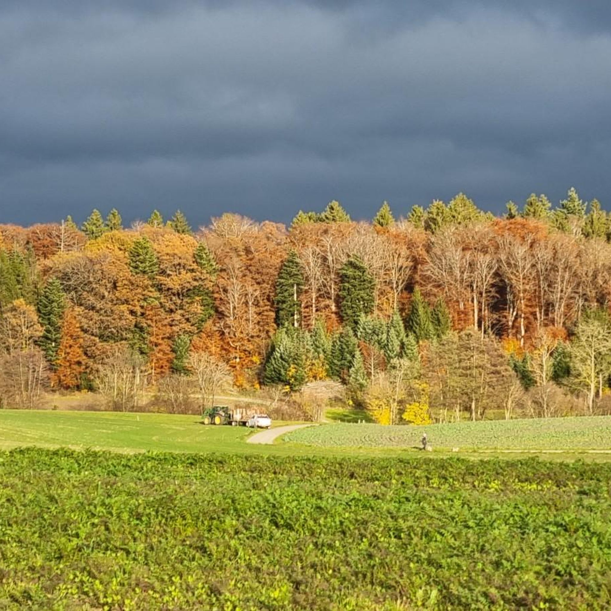
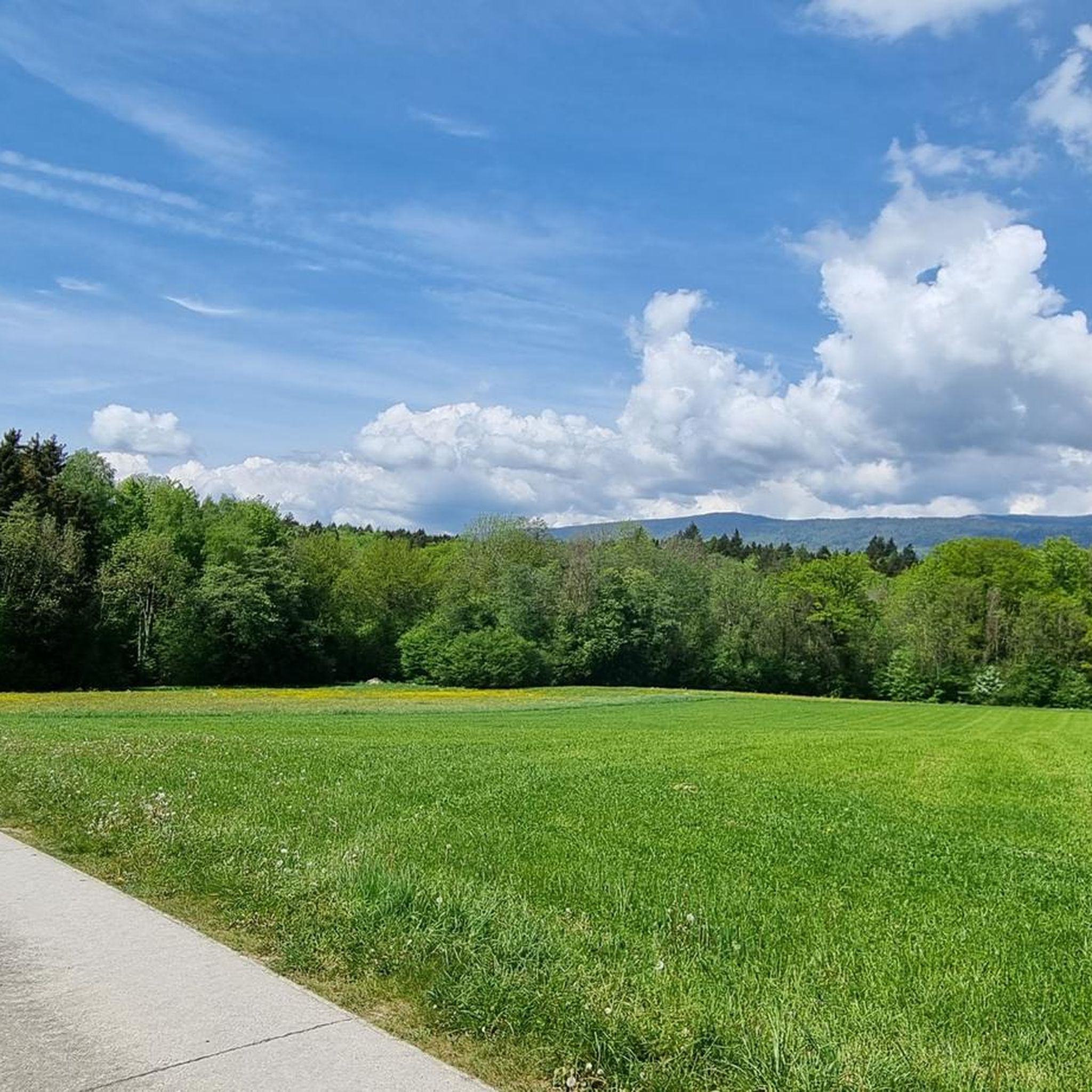
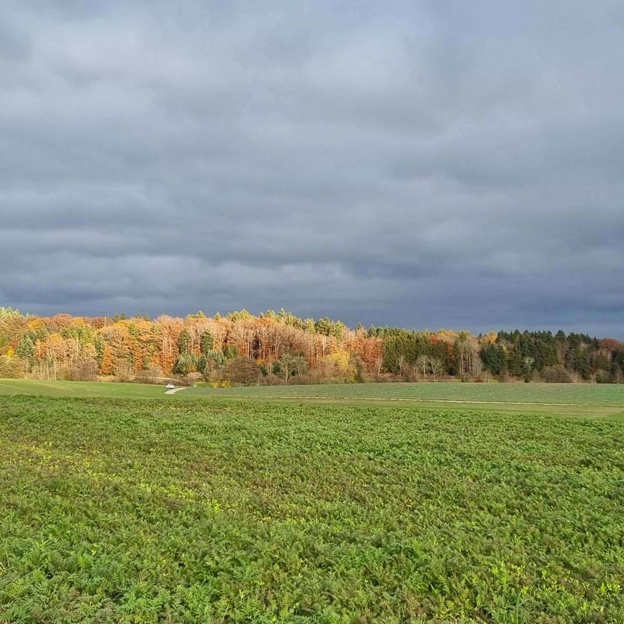
Hiking around Pampigny, a part of Hautemorges in the Vaud canton of Switzerland, offers diverse landscapes for exploration. The region is situated at the foot of the Jura Mountains, featuring a mix of agricultural land and dense forests. The Venoge River flows through the area, providing scenic paths, while higher elevations offer views of Lake Geneva and the distant Alps. This varied terrain supports a range of hiking experiences, from gentle forest walks to more challenging mountain trails.
Best hiking…
Last updated: October 10, 2026
5.0
(2)
18
hikers
17.8km
05:23
580m
580m
Hike the difficult 11.1-mile Freymond shelter trail loop in Parc Jura vaudois, gaining 1914 feet with views of Lake Geneva.
4.0
(4)
14
hikers
6.32km
01:42
80m
80m
Easy hike. Great for any fitness level. Easily-accessible paths. Suitable for all skill levels.

4.5
(2)
11
hikers
16.0km
04:53
560m
560m
Moderate hike. Good fitness required. Easily-accessible paths. Suitable for all skill levels.
5.0
(1)
9
hikers
16.5km
05:32
730m
730m
Hard hike. Very good fitness required. Mostly accessible paths. Sure-footedness required.
4.0
(2)
16
hikers
3.43km
00:58
70m
70m
Easy hike. Great for any fitness level. Easily-accessible paths. Suitable for all skill levels.
Get access to more routes and recommendations from other explorers.
Already have an account?
Our route recommendations are based on thousands of hikes, rides, and runs completed by other people on komoot.
Start today with a free account
Your next adventure awaits.

Tips from the Community

Magnificent walk through the Jura. Thank you for the beautiful route suggestion.
0
0

Small pass, ideal as a starting point for hikes
1
0

One of the six sources of the Venoge, a river immortalized in 1954 by the famous Vaudois poet Jean Villars-Gilles.
0
0


You can get a coffee at the bike/cross-country ski rental shop in the parking lot. It's worth it.
2
0

Beautiful path along the Venoge, a river which has its source in the town of L'Isle and flows to Lake Geneva. The writer Jean Villard paid tribute to Venoge in his poem of the same name.
1
0
Upper source of the Venoge.
0
0
Frequently Asked Questions
How many hiking trails are available around Pampigny?
There are over 190 hiking routes in and around Pampigny, offering a wide variety of experiences. These include easy forest walks, moderate riverside paths, and more challenging mountain ascents.
What do other hikers say about the trails in Pampigny?
The hiking routes around Pampigny are highly regarded by the komoot community, with an average rating of 4.5 stars from over 600 reviews. Hikers often praise the diverse landscapes, from quiet woodlands to panoramic views of Lake Geneva and the Alps.
Are there easy hiking trails suitable for beginners or families in Pampigny?
Yes, Pampigny offers a good selection of easy trails. For instance, the Porcini Woods – Forest Parking Area loop from Hautemorges is an easy 3.9-mile (6.3 km) walk through local woodlands, perfect for a relaxed outing. There are over 70 easy routes in the area.
What kind of challenging hikes can I find near Pampigny?
For those seeking a challenge, Pampigny is close to the Jura Mountains. The Freymond Shelter Trail is a difficult 11.1-mile (17.8 km) loop with significant elevation gain, offering expansive views of Lake Geneva. Another challenging option is the La Venoge – Source of the Venoge loop from L'Isle.
What natural features or landmarks can I expect to see while hiking in Pampigny?
Pampigny's trails offer diverse scenery, including dense forests, agricultural lands, and the scenic Venoge River. Higher elevation routes provide stunning vistas of Lake Geneva and the distant Alps. You can also explore highlights like the Mont Tendre Summit, the highest point in the Swiss Jura, or the Col du Mollendruz mountain pass.
Are there any circular hiking routes in the Pampigny area?
Yes, many trails around Pampigny are designed as loops, allowing you to start and end at the same point. Examples include the Source of the Venoge – Col du Mollendruz loop from L'Isle and the Porcini Woods – Forest Parking Area loop from Hautemorges.
Can I hike with my dog in Pampigny?
Generally, dogs are welcome on hiking trails in the Pampigny region. However, it's always advisable to keep your dog on a leash, especially in agricultural areas, near livestock, or in nature reserves, and to check for any specific local regulations along your chosen route.
What is the best time of year to go hiking in Pampigny?
Spring, summer, and autumn are ideal for hiking in Pampigny, offering pleasant temperatures and vibrant landscapes. Spring brings blooming flora, summer provides lush greenery, and autumn showcases beautiful fall colors. Winter hiking is also possible, especially on lower elevation trails, but requires appropriate gear and caution for snow and ice.
Are there any educational or themed trails in Pampigny?
Yes, Pampigny features a dedicated forestry trail within the municipality. This trail includes didactic panels about forest management and offers two loops, providing an educational and engaging walking experience. Small refuges are also available for rest or shelter along the way. More information can be found on the Morges Tourisme website: The Pampigny Forestry Trail.
How can I access hiking trails in Pampigny using public transport?
While Pampigny is a rural area, some trails may be accessible via regional bus services. It's recommended to check local public transport schedules for connections to villages near trailheads. Many routes, especially those starting from L'Isle, might be more easily reached by car, with parking available at common starting points.
Are there any historical sites or castles to visit near Pampigny?
Yes, the broader region around Pampigny, the District of Morges, is home to several historical sites and castles. You can explore the Vufflens Castle or La Sarraz Castle, adding a cultural dimension to your outdoor adventures. The Historic Old Town of Saint-Prex is also a notable attraction.
Where can I find parking for hiking trails near Pampigny?
Many trailheads in the Pampigny area, particularly those leading into the forests or towards popular viewpoints, offer designated parking areas. For example, the Porcini Woods – Forest Parking Area loop from Hautemorges indicates a starting point with parking facilities. It's advisable to check specific route details for parking information.
Most popular attractions around Pampigny

Get inspired with the komoot mobile app


Explore more
Browse the best Hikes in other regions.
