The best road cycling routes around Natural Park Rocchetta Tanaro
4.5
(117)
2,107
riders
100
rides
Road cycling routes around Natural Park Rocchetta Tanaro are set within a hilly landscape, formed by ancient sands, that offers diverse terrain for cyclists. The region features extensive mixed oak forests, providing shaded sections, alongside open areas with panoramic views of the surrounding Monferrato region and Langhe vineyards. Dedicated paved cycle tracks connect municipalities, while broader networks integrate asphalt and unpaved sections, catering to varied road cycling experiences.
Best road cycling routes around Natural Park Rocchetta Tanaro
- The most popular road cycling route is Canelli – Climb towards Loazzolo loop from Gatti, a 54.0 miles (87.0 km) trail that takes 4 hours 41 minutes to complete. This difficult route features significant climbs through the vineyard-covered hills.
- Another top favourite among local road cyclists is Costigliole d'Asti Castle – View of the Langhe Vineyards loop from Rocchetta Tanaro, a difficult 38.7 miles (62.4 km) path. This route offers expansive views of the Langhe vineyards and passes by historic landmarks.
- Local road cyclists also love the Bridge over the Tiglione – Vinchio and Its Vineyards loop from Castello d'Annone, a 24.0 miles (38.7 km) trail leading through vineyards and across the Tiglione river, often completed in about 2 hours 16 minutes.
- Road cycling around Natural Park Rocchetta Tanaro is defined by hilly terrain, mixed oak forests, and vineyard landscapes. The network offers options for different ability levels, from moderate rides to more difficult climbs.
- The routes in Natural Park Rocchetta Tanaro are highly rated by the komoot community with an average score of 4.5 stars from over 100 reviews. More than 2,500 road cyclists have used komoot to explore Natural Park Rocchetta Tanaro's varied terrain.
Last updated: July 15, 2026
7
riders
87.3km
04:42
1,350m
1,350m
Hard road ride. Very good fitness required. Some segments of this route may be unpaved and difficult to ride.
10
riders
57.3km
03:26
880m
880m
Moderate road ride. Good fitness required. Some segments of this route may be unpaved and difficult to ride.

Sign up for free
23
riders
Moderate road ride. Good fitness required. Some segments of this route may be unpaved and difficult to ride.
20
riders
100.0km
04:48
1,110m
1,110m
Hard road ride. Very good fitness required. Some segments of this route may be unpaved and difficult to ride.
17
riders
Moderate road ride. Good fitness required. Mostly well-paved surfaces and easy to ride.
Get access to more routes and recommendations from other explorers.
Sign up for free
Already have an account?
Our route recommendations are based on thousands of hikes, rides, and runs completed by other people on komoot.
Start today with a free account
Your next adventure awaits.
Login or Signup
Tips from the Community

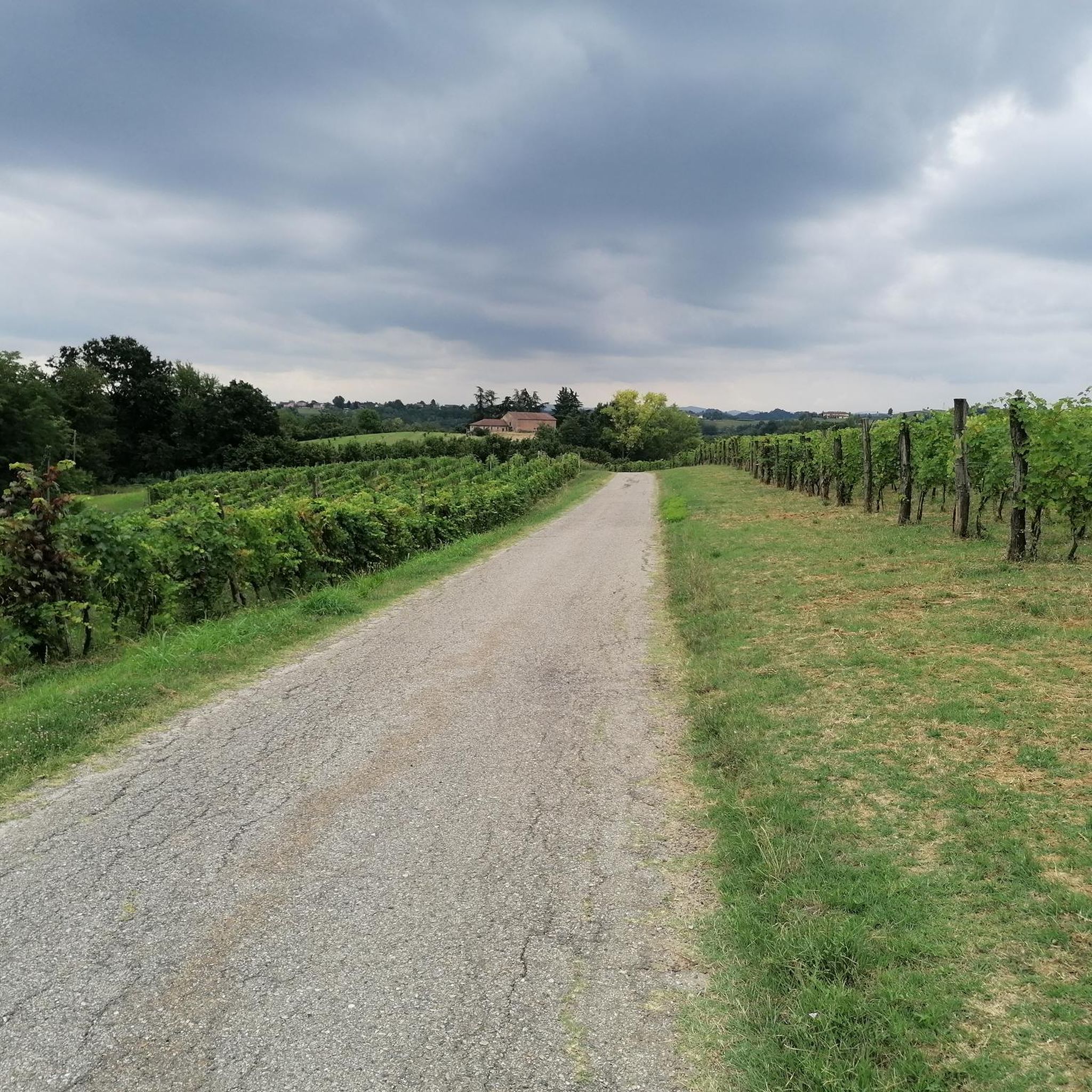
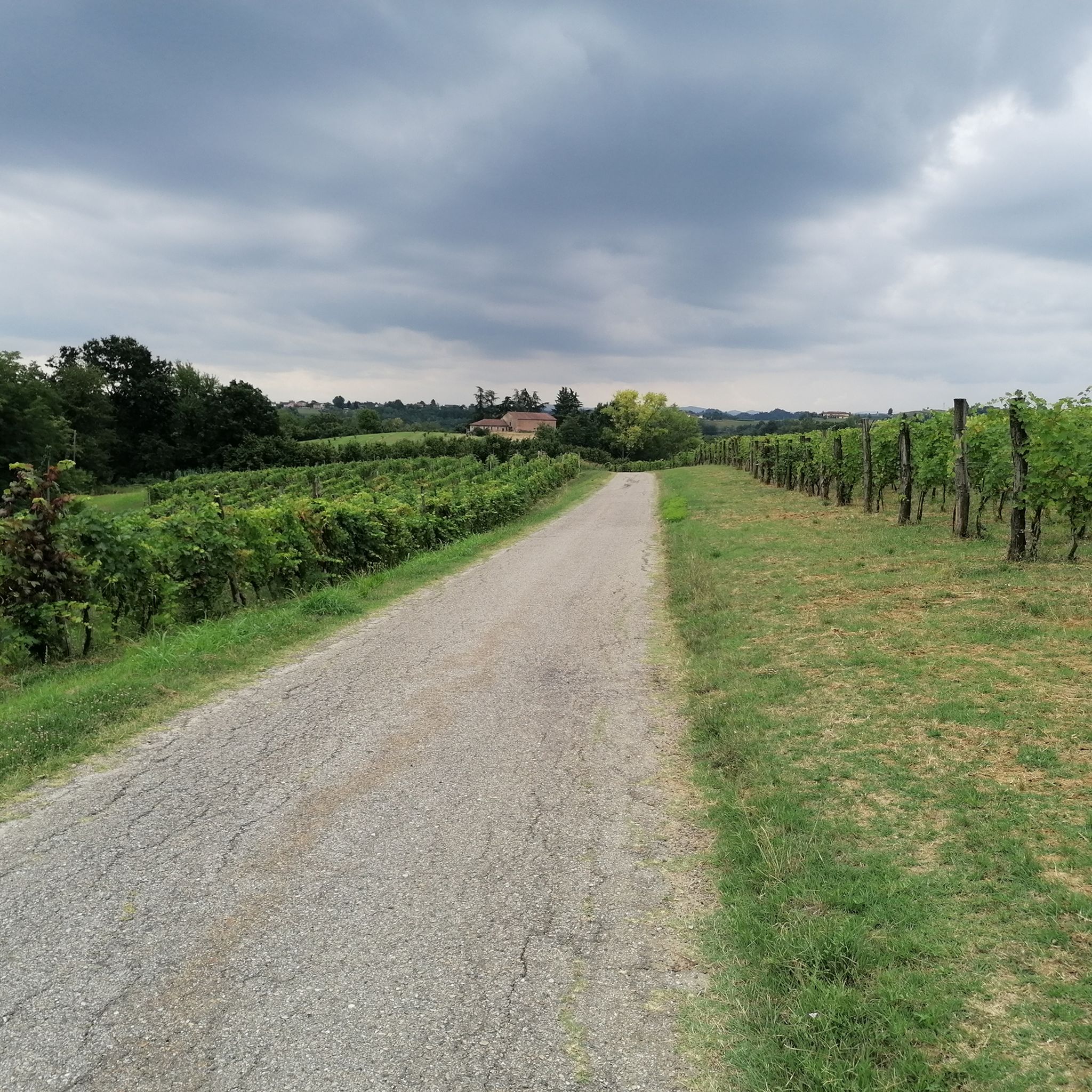
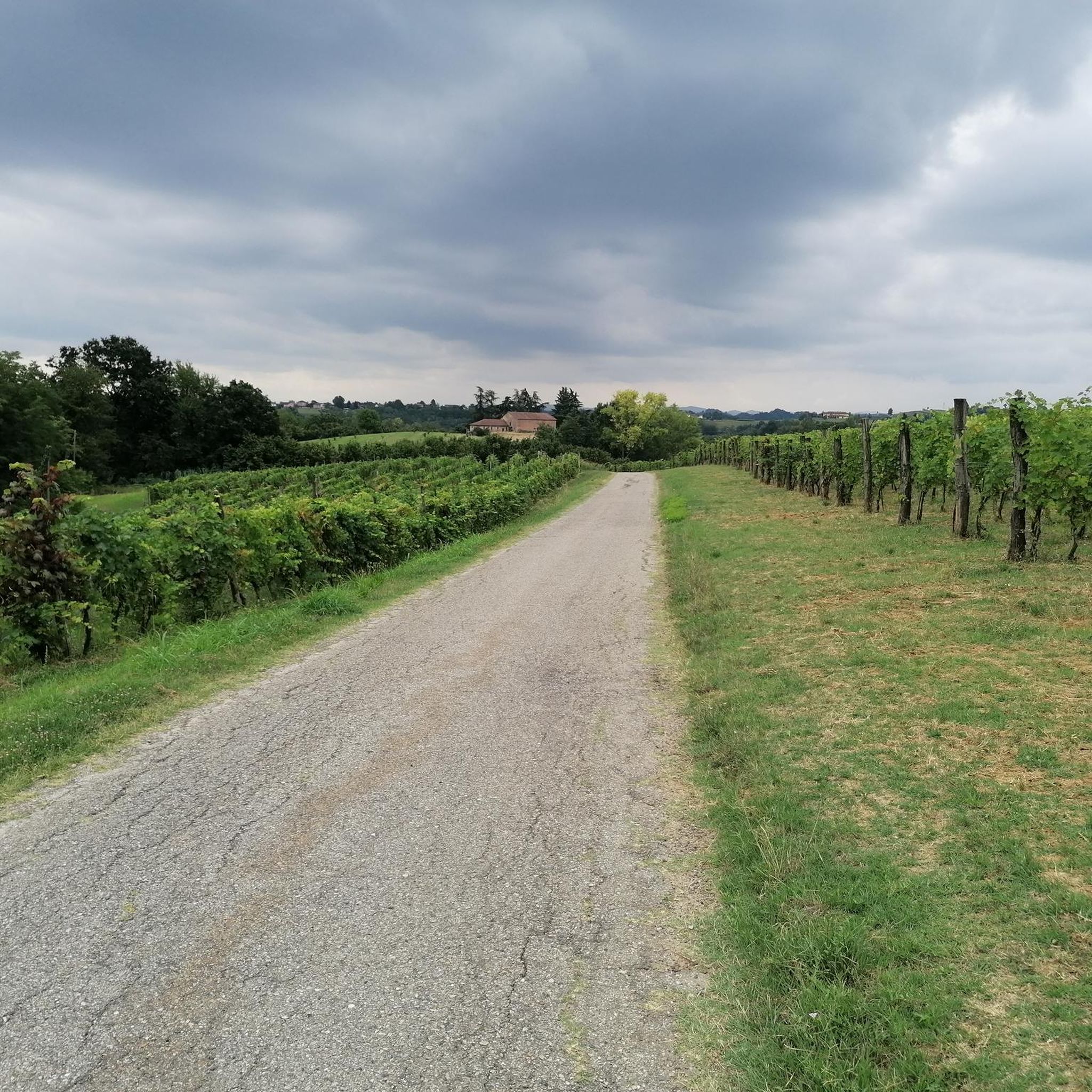
Excellent road in the green and without traffic
0
0

Very beautiful with these very bright colors.
0
0
Beautiful with these bright colors.
0
0
Very well maintained church.
0
0
The Sanctuary of San Pancrazio in Vinchio (AT), located in a panoramic position, is a historic place of worship dedicated to the young Roman martyr of the 4th century
0
0
Mombercelli, located in the Asti area in Val Tiglione.
0
0
Vinchio, located in the province of Asti between Langhe and Monferrato,
0
0
The road is not very busy. It's very nice to cycle along this route.
0
0
Frequently Asked Questions
How many road cycling routes are available in Natural Park Rocchetta Tanaro?
There are over 70 road cycling routes available around Natural Park Rocchetta Tanaro, catering to various skill levels. This includes 8 easy routes, 43 moderate routes, and 23 difficult routes, ensuring options for every cyclist.
What kind of terrain can I expect on road cycling routes around Natural Park Rocchetta Tanaro?
The region is characterized by a hilly landscape, formed by ancient sands, offering diverse terrain. You'll find a mix of asphalt and paved roads, with some routes incorporating scenic unpaved sections. The routes often traverse extensive mixed oak forests, providing shaded areas, and open up to panoramic views of the surrounding Monferrato region and Langhe vineyards.
Are there any notable natural features or landmarks to see while cycling in the park?
Yes, while cycling, you can encounter several interesting features. A highlight is the 'Great Beech' (Faggio Emilio) in 'Valle del Gelo', a centuries-old European beech tree. You'll also enjoy picturesque views of the town of Rocchetta Tanaro and catch glimpses of the historic castle of the Marquises Incisa della Rocchetta. The routes also pass through the renowned Langhe vineyards.
Can I find road cycling routes with panoramic views in Natural Park Rocchetta Tanaro?
Absolutely. Many routes offer stunning panoramic vistas. For example, the difficult route Costigliole d'Asti Castle – View of the Langhe Vineyards loop from Rocchetta Tanaro provides expansive views of the Langhe vineyards and passes by historic landmarks. The hilly terrain naturally lends itself to numerous scenic viewpoints across the Monferrato region.
Are there family-friendly road cycling routes in Natural Park Rocchetta Tanaro?
Yes, the park offers options suitable for families. There is a dedicated paved cycle track that connects the municipalities of Mombercelli and Rocchetta Tanaro, which is ideal for a leisurely ride. Additionally, there are 8 easy-rated road cycling routes in the area that are generally suitable for families looking for less challenging terrain.
What is the best time of year for road cycling in Natural Park Rocchetta Tanaro?
Spring and autumn are generally the best times for road cycling in Natural Park Rocchetta Tanaro. The weather is milder, and the landscapes are particularly beautiful, with blooming flowers in spring and vibrant foliage in autumn. Summer can be pleasant, but it's advisable to cycle earlier in the morning or later in the afternoon to avoid the midday heat. Winter cycling is possible but can be cold, and some trails might be muddy after heavy rainfall.
Are there any loop road cycling routes around Rocchetta Tanaro?
Yes, many of the road cycling routes in the area are designed as loops, allowing you to start and end at the same point. Examples include Canelli – Climb towards Loazzolo loop from Gatti and Bridge over the Tiglione – Vinchio and Its Vineyards loop from Castello d'Annone. These circular routes are convenient for exploration.
What do other cyclists enjoy most about road cycling in Natural Park Rocchetta Tanaro?
The road cycling routes in Natural Park Rocchetta Tanaro are highly rated by the komoot community, with an average score of 4.5 stars from over 100 reviews. Cyclists often praise the varied terrain, the beautiful vineyard landscapes, and the challenging climbs that offer rewarding views. The mix of shaded forest sections and open vistas is also frequently highlighted.
Is there parking available for cyclists near the road cycling routes?
Yes, parking is generally available. The Natural Park Rocchetta Tanaro has a central car park, which serves as a good starting point for exploring the area. Many towns and villages along the routes also offer public parking options, making it convenient to access the cycling trails.
Are there any permits required for road cycling in Natural Park Rocchetta Tanaro?
Based on available information, there are no specific permits required for road cycling within Natural Park Rocchetta Tanaro. You are free to explore the public roads and dedicated cycle paths. However, always respect local regulations and private property.
Can I access Natural Park Rocchetta Tanaro by public transport with my bicycle?
While specific public transport options for bicycles directly to the park are not extensively detailed, regional train services in Piedmont often allow bicycles, though it's advisable to check with the specific train operator for routes and restrictions. Buses typically have limited space for bikes. Driving to the area and utilizing local parking is often the most straightforward option for cyclists.
Are there options for less crowded road bike paths near Rocchetta Tanaro?
While some popular routes can see more traffic, the extensive network of secondary roads and smaller village connections in the Monferrato region allows for finding quieter paths. Exploring routes that venture slightly off the main tourist trails or cycling during off-peak hours can lead to a more serene experience. The dedicated paved cycle track within the park also offers a more controlled and less crowded environment.
Most popular routes around Natural Park Rocchetta Tanaro

Get inspired with the komoot mobile app


Explore more
Browse the best Road cycling routes in other regions.
