The best walks and hikes around Natural Park Valle del Ticino
4.3
(4683)
23,983
hikers
64
hikes
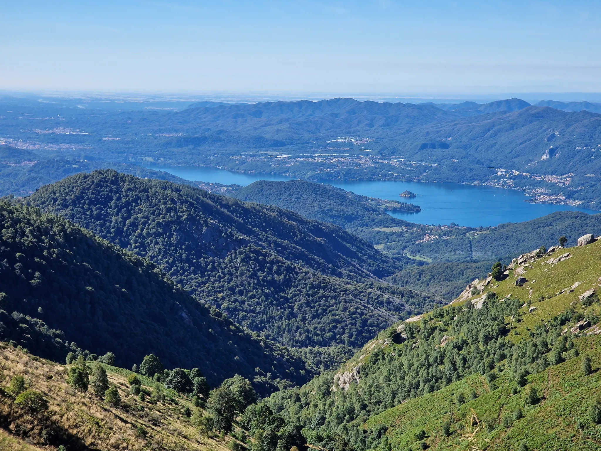
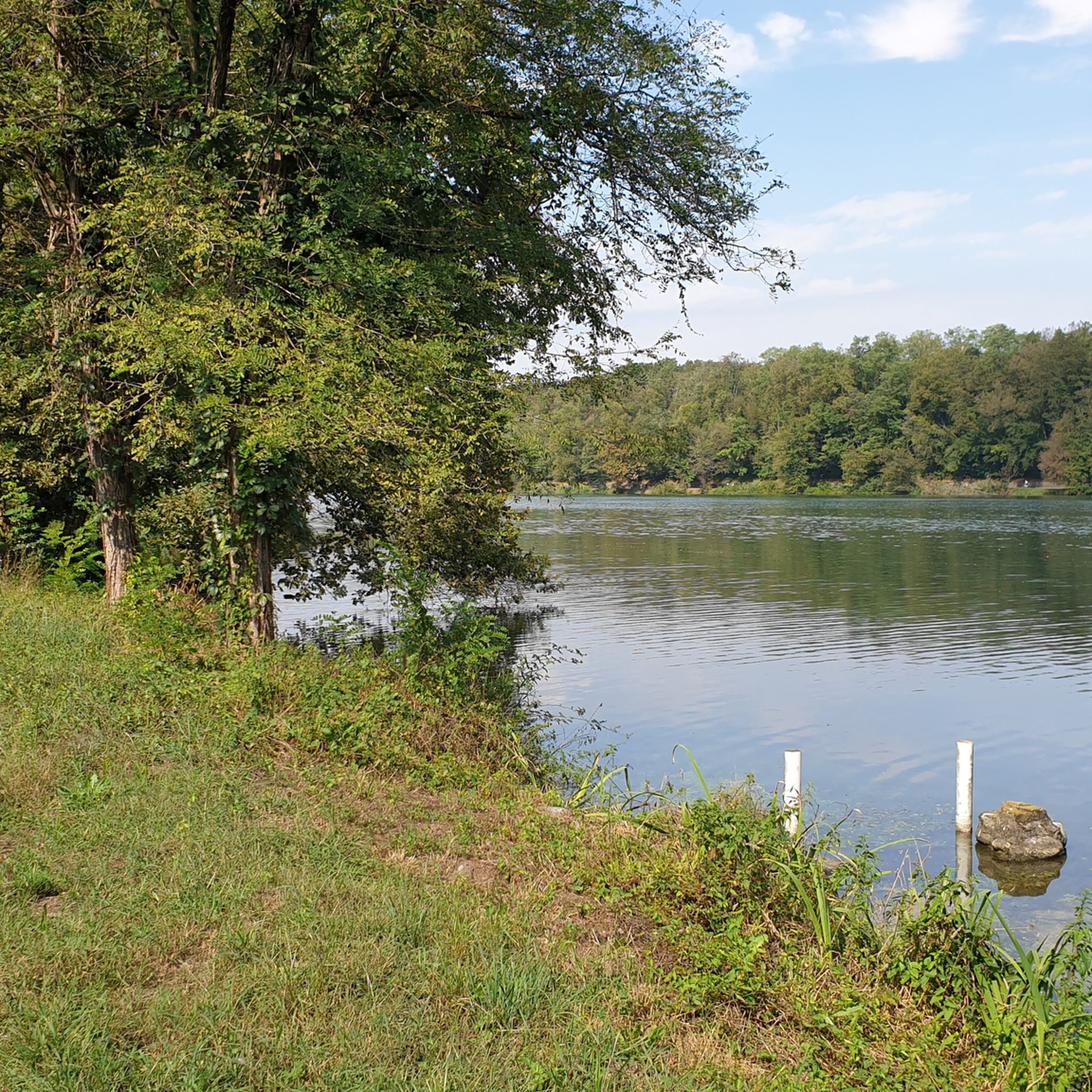
Hiking trails around Natural Park Valle del Ticino traverse a diverse landscape shaped by the Ticino River, which flows between Lake Maggiore and the Po River. The park features extensive forests, including alder, willow, and English oak woods, alongside significant wetlands and traditional agricultural areas like rice fields. In its northern sections, the terrain includes morainic hills covered with chestnut and Scots pine woods, offering varied elevation for hikers.
Best hiking trails around Natural Park Valle del Ticino
- The most…
Last updated: October 10, 2026
1.0
(1)
1
hikers
20.3km
05:15
100m
110m
This difficult 12.6-mile hike in Parco del Ticino offers diverse nature, including forests and wetlands, taking over 5 hours.
3.0
(1)
1
hikers
16.1km
04:08
60m
60m
Peaceful canal-side walk through Piedmont countryside with medieval towers and Monte Rosa views.

4.3
(24)
100
hikers
15.2km
03:57
100m
100m
Moderate hike. Good fitness required. Easily-accessible paths. Suitable for all skill levels.
4.9
(7)
26
hikers
Moderate hike. Good fitness required. Easily-accessible paths. Suitable for all skill levels.
4.3
(3)
21
hikers
9.90km
02:33
50m
50m
Moderate hike. Good fitness required. Easily-accessible paths. Suitable for all skill levels.
Get access to more routes and recommendations from other explorers.
Already have an account?
Our route recommendations are based on thousands of hikes, rides, and runs completed by other people on komoot.
Start today with a free account
Your next adventure awaits.
Popular around Natural Park Valle del Ticino

Other adventures around Natural Park Valle del Ticino

Tips from the Community

The ruins of the former Austro-Hungarian customs house in Turbigo (also known as Osteria al Segno dell'Annunciata) are located in Via Roma. Dating back to the second half of the 17th century, the building is situated along the Naviglio Grande and is famous for having hosted Napoleon Bonaparte. It is currently a private ruin in a state of abandonment, although it is a picturesque and historically rich stop along the Ticino Cycle Route.
0
0
The unique name "Panperduto" derives mainly from the local dialect and ancient stories related to river navigation before the construction of the dam. In the past, commercial barges carrying goods or stones often collided with the rapids and rocky riverbeds of this stretch of the river, ending up capsizing and losing their entire cargo. This meant the loss of the entire day's work and the earnings needed to buy food, hence the saying "we lost the bread" (hence Panperduto).
0
0
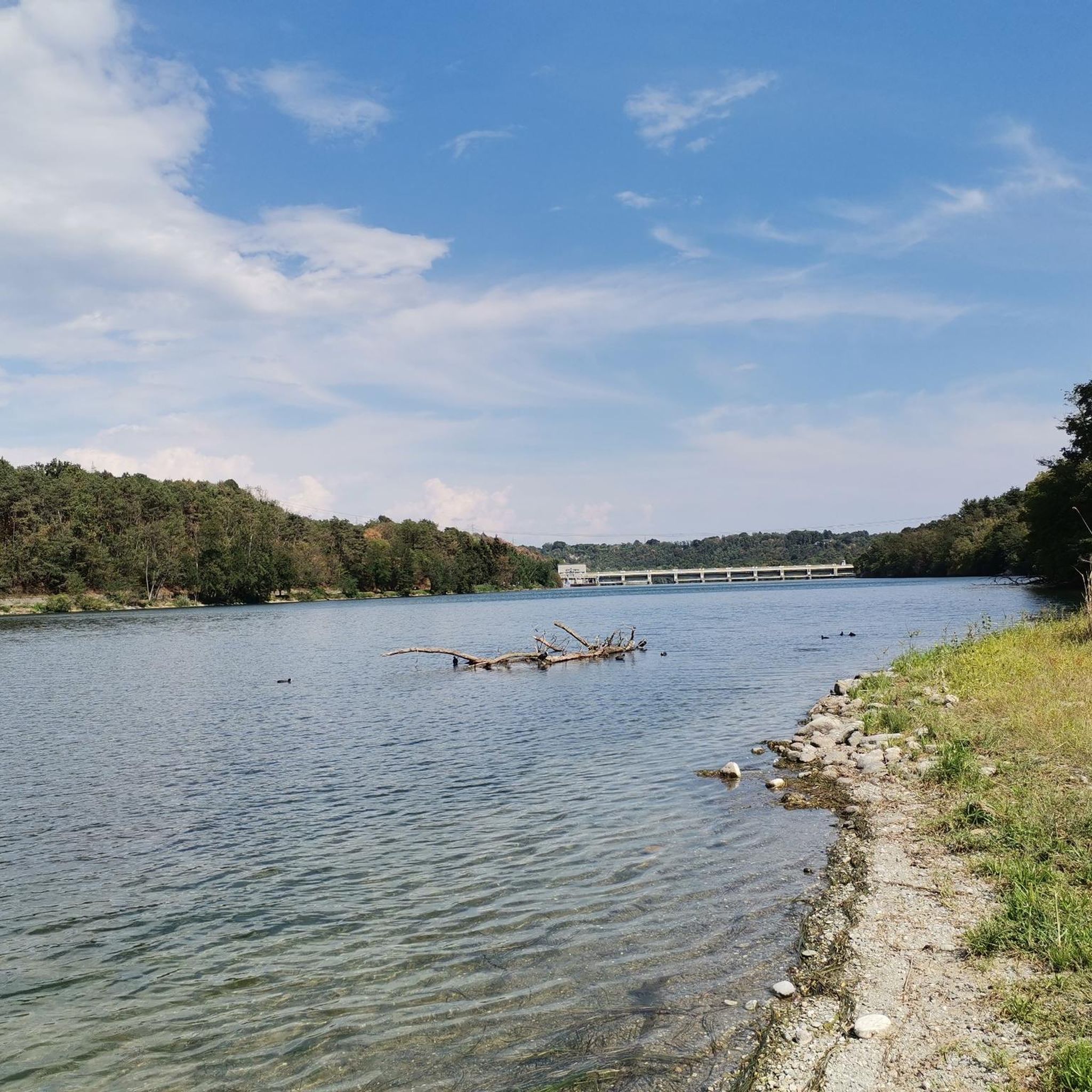
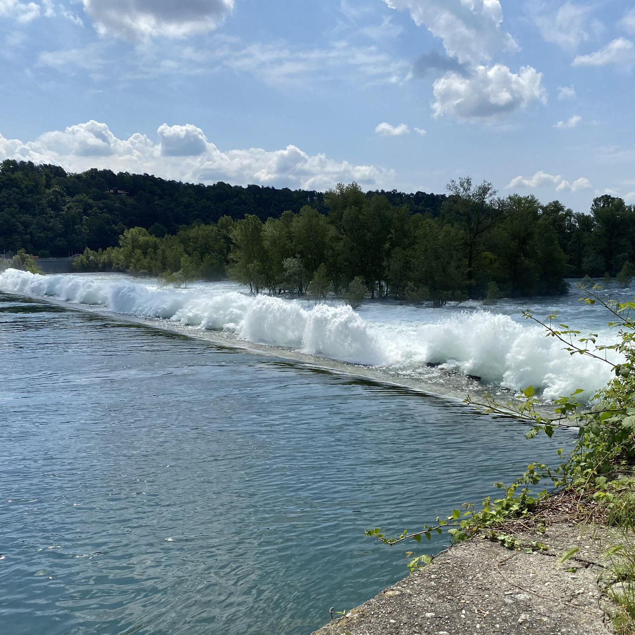
La Diga del Panperduto (or rather, the Dighe del Panperduto) is one of Lombardy's most important and fascinating hydraulic junctions, located on the Ticino river in the municipality of Somma Lombardo, in the province of Varese. This monumental complex of hydraulic engineering dates back to the late 19th century (inaugurated in 1884) and mainly serves to divert the waters of the Ticino to feed two fundamental artificial canals: Villoresi Canal: used for irrigation purposes, guaranteeing water for over 100,000 hectares of agricultural land in the Po Valley. Industrial Canal: fundamental for the production of hydroelectric energy through various power plants in the area.
0
0

The Villoresi Canal flows north of Milan for 86 km. It originates from the Panperduto Dams on the Ticino River and continues to the Adda River, where it flows near Cassano d’Adda, in the Groppello area. From there, its waters are channeled, as needed, into the Adda or the Naviglio Martesana via a special structure. Along its course, the canal meets several natural watercourses – the Lambro, Olona, and Seveso among the best known – with which water exchange can occur, if necessary. The network, which branches off from the main canal like capillaries of a system that distributes water to the most remote areas, consists of 22 diversion canals, with a total length of 120 km, and 270 branch canals, winding for over 800 km. There are also collector canals – over 30 km in total length – which receive water not absorbed by the land during irrigation and/or collect rainwater. Also noteworthy is the system's water flow: the total water volume indeed exceeds, on average, 500 million m3 per year. Recently, navigation has also been rediscovered on the Villoresi; the canal's waters also feed 4 hydroelectric plants in the Municipality of Monza.
0
0

Bel🌈Route 🚶🚴... Here they shot a film with Checco Zalone
1
0
🚶in the pools you can admire the crystal clear running water🌊
1
1

The cycle path along the Ticino river offers a fascinating naturalistic and historical route, extending mainly from Sesto Calende (VA) to Pavia, for about 100-120 km within the Ticino Park. It is an ideal destination for cycle tourism, also connected to the Naviglio Grande towards Milan and to routes like the Ciclovia Vento.
0
0

the view is always fascinating!
2
0
Frequently Asked Questions
How many hiking trails are available in Natural Park Valle del Ticino?
There are over 50 hiking trails in Natural Park Valle del Ticino, catering to various skill levels. You'll find a good mix of easy, moderate, and challenging routes to explore the diverse landscapes of the park.
What kind of landscapes can I expect to see while hiking in Natural Park Valle del Ticino?
The park offers a rich variety of landscapes. You can hike through extensive forests, including alder, willow, populus, chestnut, and English oak woods. There are also significant wetlands and river habitats along the Ticino River, as well as traditional agricultural areas like rice fields and water-meadows. In the northern part, you'll encounter morainic hills with chestnut and Scots pine woods.
Are there any easy hiking trails suitable for beginners or families?
Yes, Natural Park Valle del Ticino has many easy trails. For example, the View of Monte Rosa – Map of Sesto Calende loop from Golasecca is an easy 5.6 km route that offers scenic views. Many canal-side paths are also generally flat and accessible, perfect for a relaxed walk.
What are some notable landmarks or attractions to see along the trails?
Hikers can discover several interesting points. The Panperduto Dam is a significant hydraulic junction with panoramic views. You might also encounter historical architecture like medieval towers, or visit sites such as Villa Picchetta. The Lakeside Promenade and Garibaldi Obelisk in Sesto Calende also offers a pleasant stop.
Can I bring my dog on the hiking trails in Natural Park Valle del Ticino?
Generally, dogs are welcome on trails in Natural Park Valle del Ticino. However, it's always recommended to keep them on a leash, especially in areas with wildlife or near agricultural lands, to protect both your pet and the local ecosystem. Please check specific trail regulations if you plan to visit a nature reserve within the park.
Are there any circular hiking routes available?
Yes, many routes in Natural Park Valle del Ticino are designed as loops. An example is the Through trails and nature – loop tour in the Parco del Ticino, which is a more challenging option exploring diverse natural environments. You can find various circular paths suitable for different durations and fitness levels.
What is the best time of year to go hiking in Natural Park Valle del Ticino?
The Natural Park Valle del Ticino is enjoyable for hiking throughout much of the year. Spring and autumn offer pleasant temperatures and beautiful scenery, with blooming flora or vibrant fall colors. Summer can be warm, but many forest trails provide shade. Winter hikes are also possible, especially on less challenging routes, offering a different, tranquil perspective of the park.
What do other hikers say about the trails in Natural Park Valle del Ticino?
The trails in Natural Park Valle del Ticino are highly rated by the komoot community, with an average score of 4.1 stars from over 170 reviews. Hikers often praise the diverse natural environments, the peaceful canal-side walks, and the well-maintained paths that make exploring the region a rewarding experience.
Are there any trails that follow the Ticino River closely?
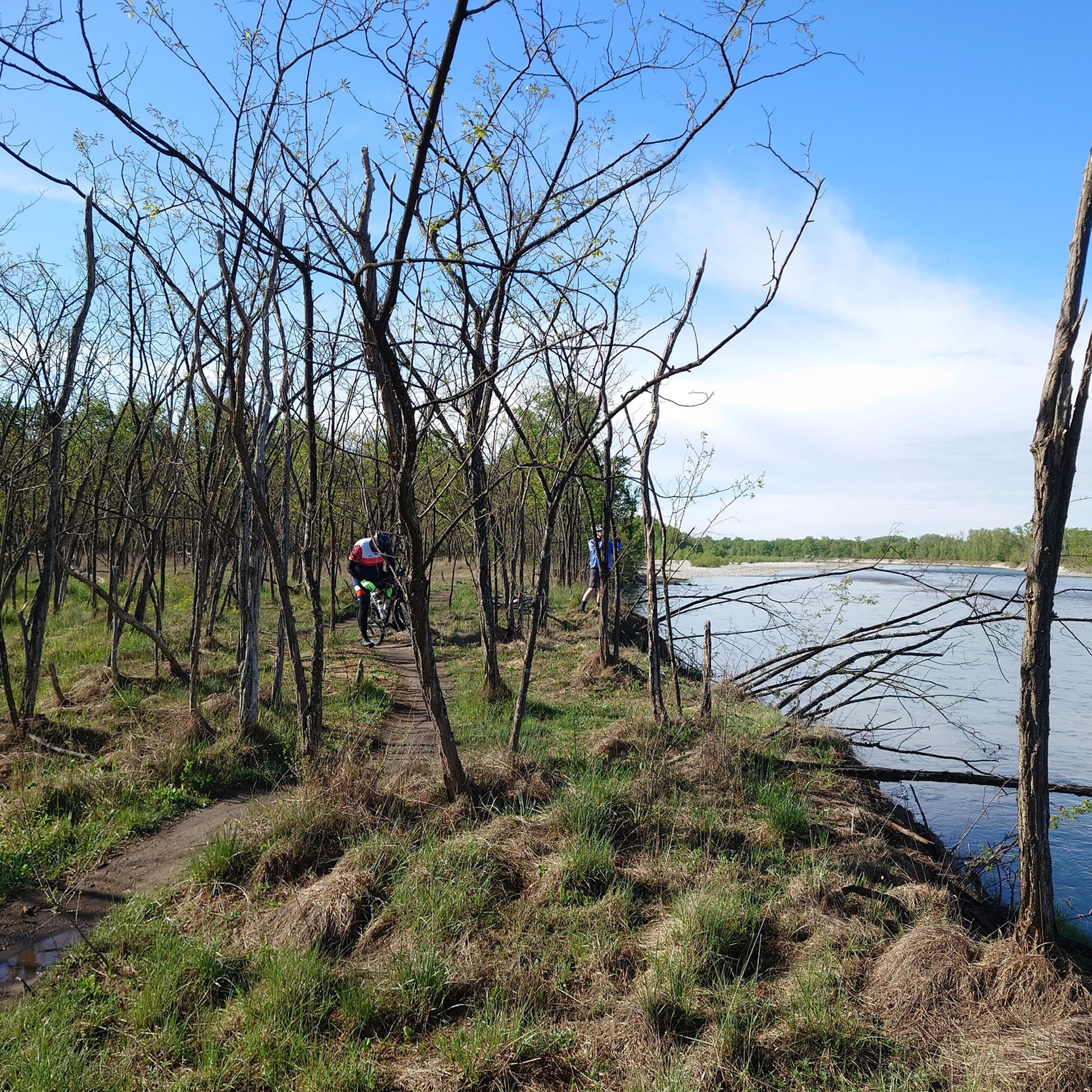
Yes, the Ticino River is central to the park, and many trails run alongside its banks or through its riverine habitats. The Ticino River Trail – Ticino River loop from Nosate is a moderate 9.9 km route that offers a great opportunity to experience the river up close.
Is public transport available to access hiking areas within the park?
While specific public transport options vary by starting point, the Natural Park Valle del Ticino is generally accessible. Many towns and villages bordering the park have train stations or bus stops. It's advisable to check local transport schedules for the specific trailhead you plan to visit, as connections might be less frequent in more remote areas.
Are there any challenging routes for experienced hikers?
Yes, for experienced hikers, there are more challenging routes available. The Through trails and nature – loop tour in the Parco del Ticino is a difficult 20.3 km trail that takes approximately 5 hours and 15 minutes to complete, offering a comprehensive exploration of the park's diverse terrain.
What types of forests can I expect to hike through?
The park is known for its extensive and varied forests. You can hike through alder, willow, and populus forests along the riverbanks, as well as chestnut and Scots pine woods, particularly in the morainic hills. There are also well-preserved English oak woods, providing diverse and shaded environments for your walks.
Most popular routes around Natural Park Valle del Ticino
Most popular attractions around Natural Park Valle del Ticino

Get inspired with the komoot mobile app


Explore more
Browse the best Hikes in other regions.
