The best walks and hikes in Palencia
4.4
(1167)
6,575
hikers
405
hikes
Hiking in Palencia offers diverse landscapes across the autonomous community of Castilla y León, Spain. The region is characterized by majestic mountains, green valleys, and meandering rivers, providing a variety of trails. Notable features include the Palencia Mountain Nature Park, with its dense forests, open meadows, and prominent peaks, alongside routes along the Pisuerga and Carrión rivers. The terrain ranges from gentle riverbanks to challenging mountain ascents.
Best hiking trails in Palencia
- The most popular hiking route is Tejeda de Tosande Trail, a 5.7 miles (9.1 km) moderate trail that takes about 2 hours 59 minutes to complete, leading through a notable yew forest.
- Another top favourite among local hikers is Senda del Oso from Cervera de Pisuerga (PRC-P05) — circular through the Parque Natural Montaña Palentina, a moderate 8.3 miles (13.3 km) path. This circular route explores the natural park, offering varied terrain and scenery.
- Local hikers also love the Las Tuerces Labyrinth Trail, a 3.1 miles (5.0 km) trail leading through unique rock formations, often completed in about 1 hour 32 minutes.
- Hiking in Palencia is defined by majestic mountains, diverse forests, and tranquil river valleys. The network offers options for different ability levels, from easy strolls to challenging ascents.
- The routes in Palencia are highly rated by the komoot community with an average score of 4.5 stars from over 600 reviews. More than 3,900 hikers have used komoot to explore Palencia's varied terrain.
Last updated: October 10, 2026
4.7
(36)
309
hikers
9.14km
03:00
390m
390m
Moderate hike. Good fitness required. Easily-accessible paths. Suitable for all skill levels.
4.4
(47)
251
hikers
Moderate hike. Good fitness required. Mostly accessible paths. Sure-footedness required.

4.6
(20)
233
hikers
6.27km
02:09
310m
310m
Moderate hike. Good fitness required. Mostly accessible paths. Sure-footedness required.
4.5
(12)
179
hikers
10.2km
05:39
1,060m
1,060m
Hard hike. Very good fitness required. Mostly accessible paths. Sure-footedness required.
4.8
(17)
147
hikers
11.8km
03:37
420m
420m
Moderate hike. Good fitness required. Easily-accessible paths. Suitable for all skill levels.
4.7
(9)
134
hikers
9.17km
06:42
1,090m
1,090m
Hard hike. Very good fitness required. Sure-footedness, sturdy shoes and alpine experience required.
4.6
(7)
133
hikers
Hard hike. Very good fitness required. Sure-footedness, sturdy shoes and alpine experience required.
4.5
(16)
111
hikers
Easy hike. Great for any fitness level. Easily-accessible paths. Suitable for all skill levels.
4.8
(12)
67
hikers
11.5km
03:21
330m
330m
Moderate hike. Good fitness required. Mostly accessible paths. Sure-footedness required.
5.0
(5)
50
hikers
5.04km
01:32
180m
180m
Easy hike. Great for any fitness level. Easily-accessible paths. Suitable for all skill levels.
Get access to more routes and recommendations from other explorers.
Already have an account?
Our route recommendations are based on thousands of hikes, rides, and runs completed by other people on komoot.
Start today with a free account
Your next adventure awaits.
Popular around Palencia
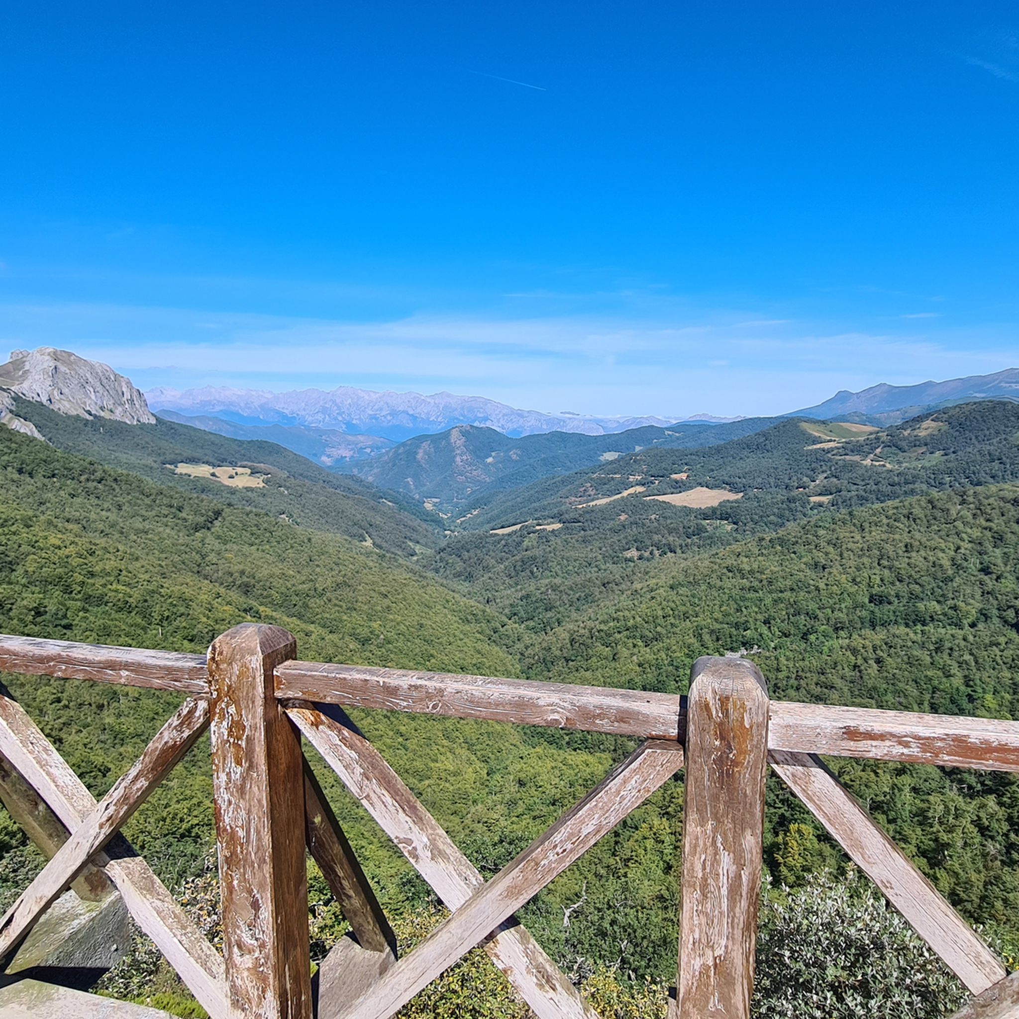
Hiking in Fuentes Carrionas Y Fuente Cobre - Montaña Palentina
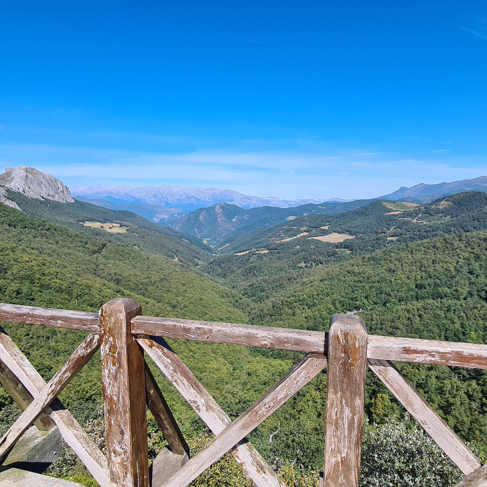
Hiking around National Park Fuentes Carrionas y Fuente Cobre-Montaña Palentina
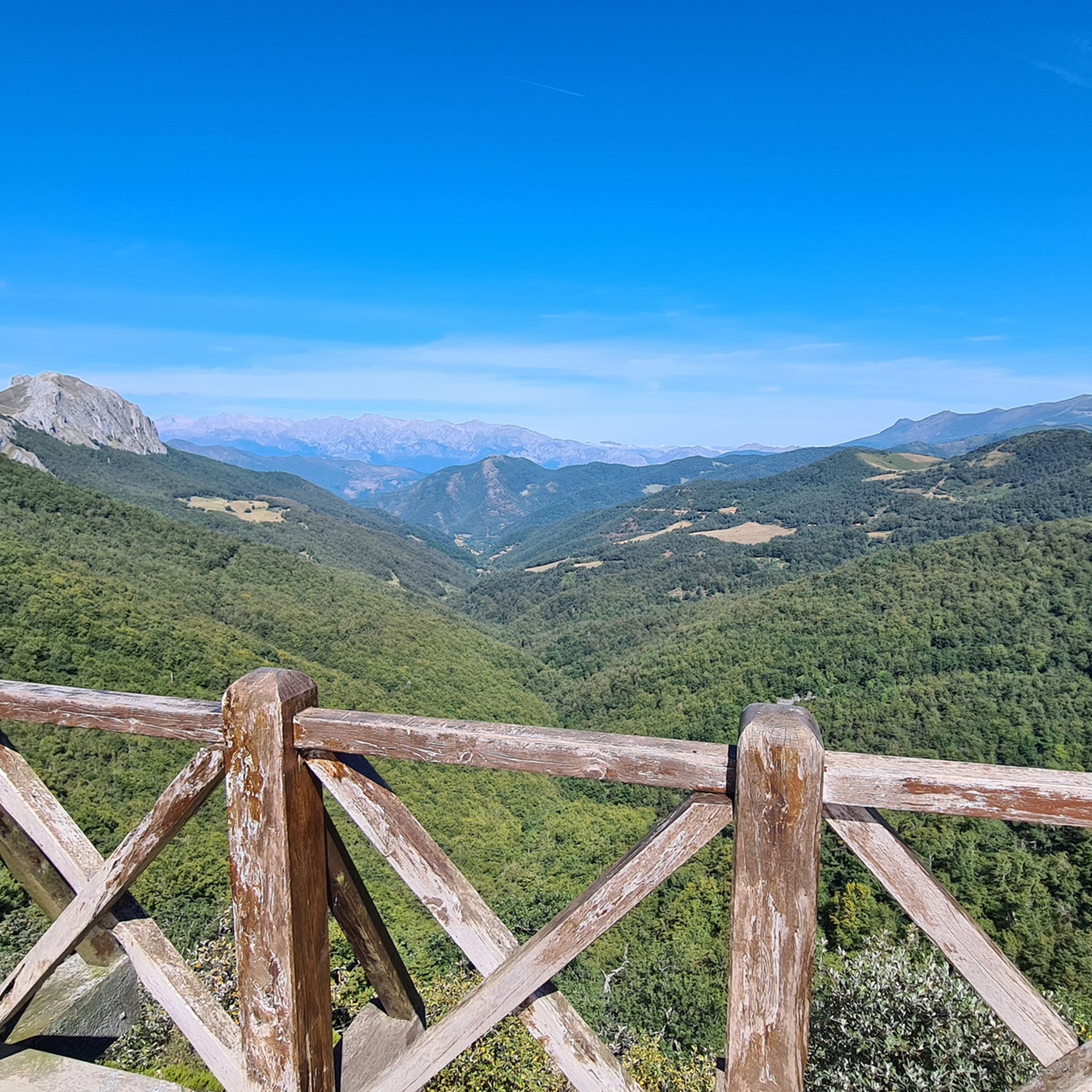
Hiking around Cervera
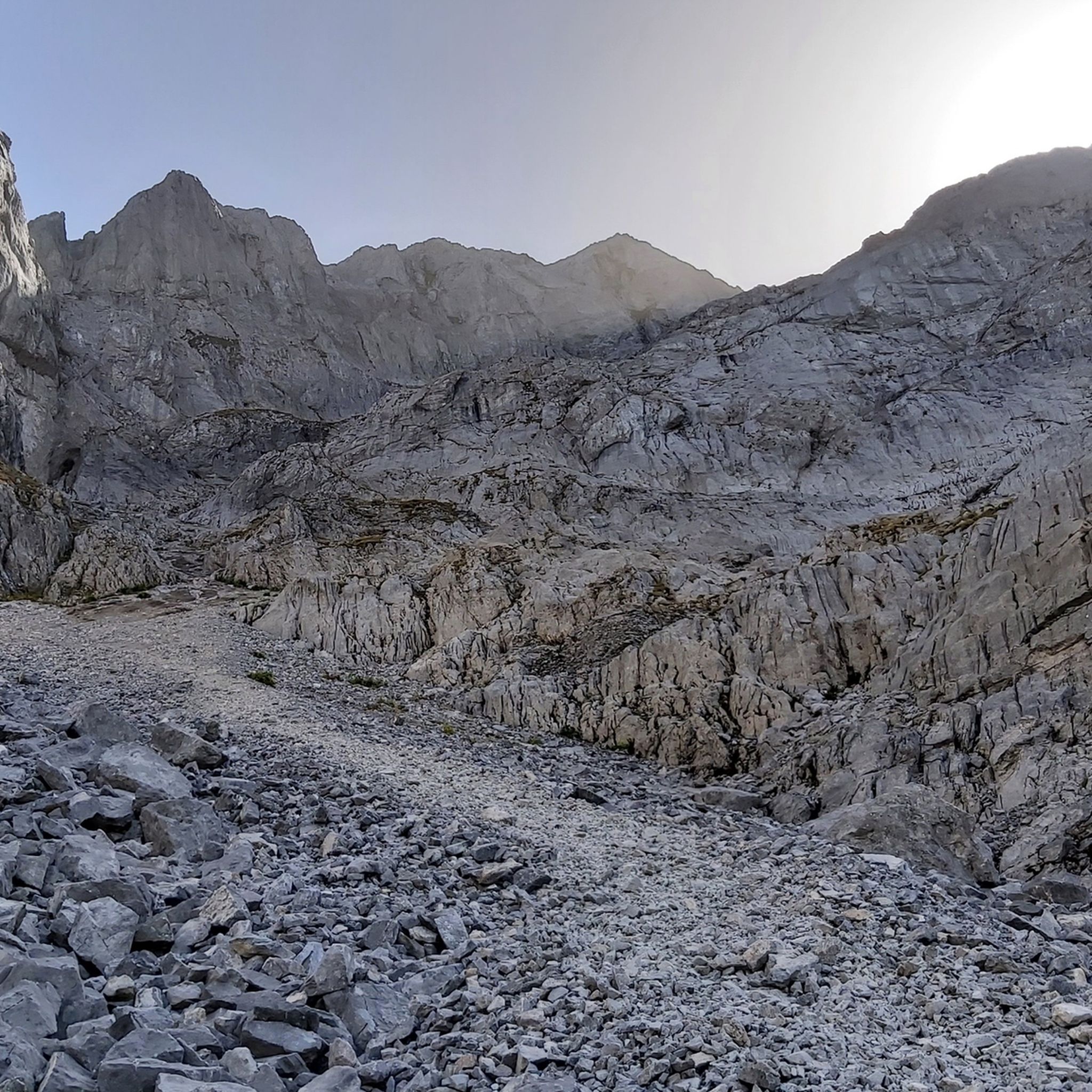
Hiking around Guardo
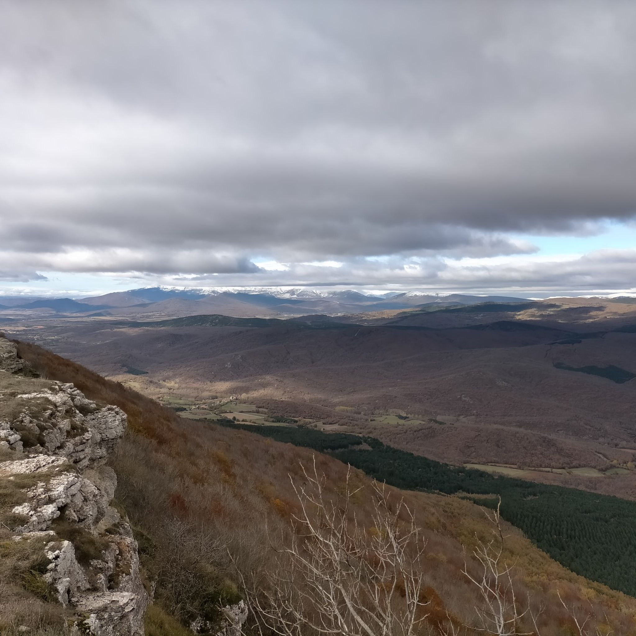
Hiking around Aguilar
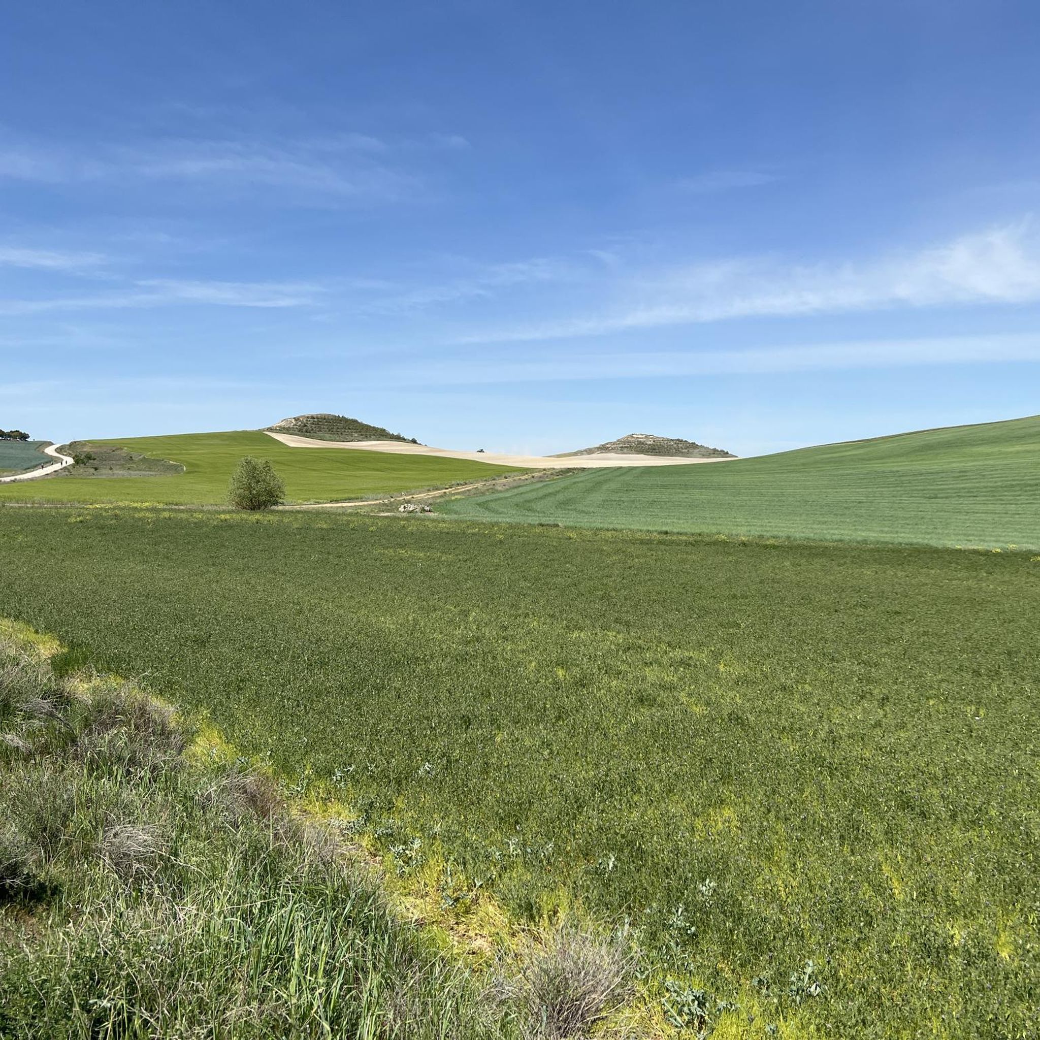
Hiking around Campos
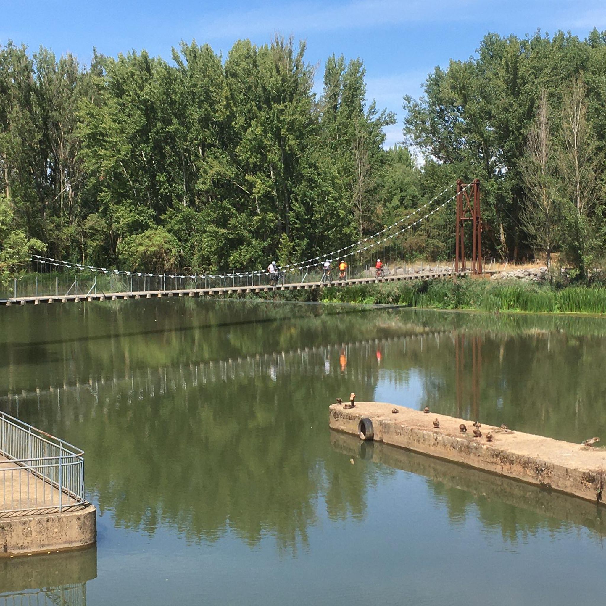
Hiking around Boedo-Ojeda
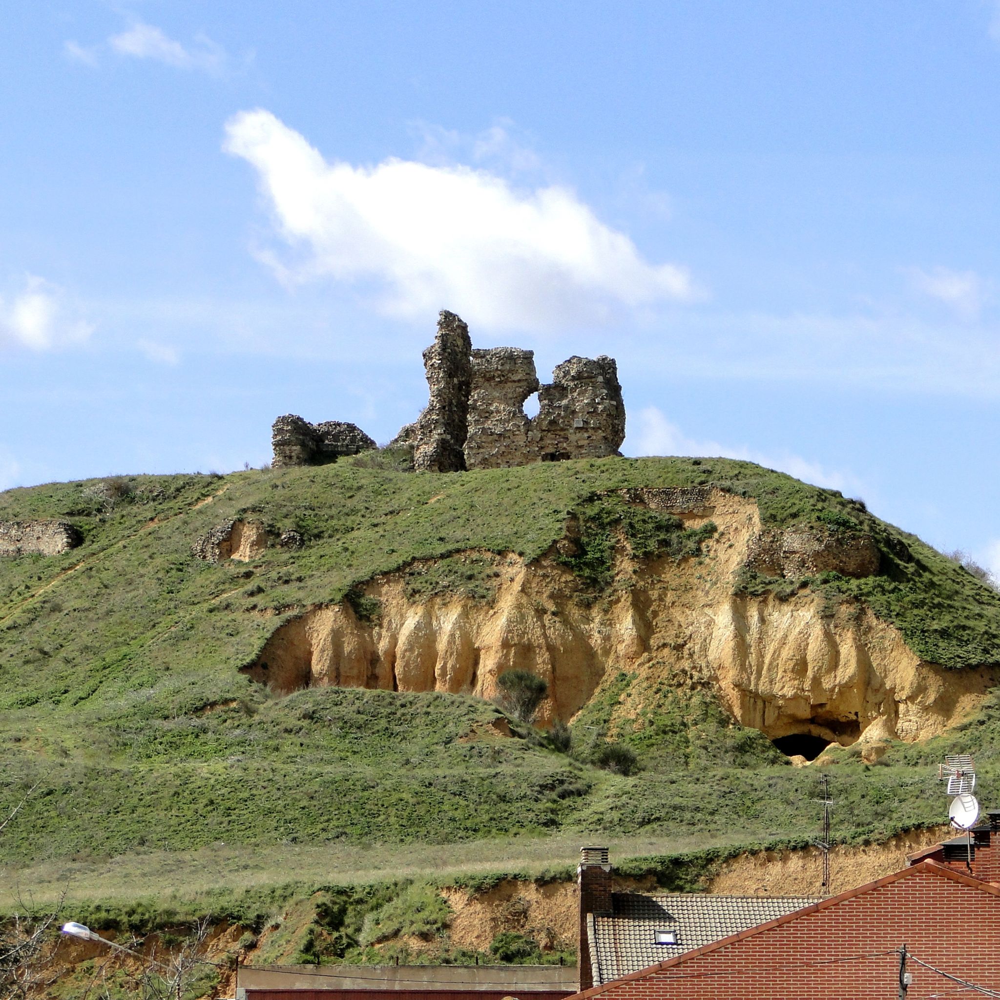
Hiking around Saldaña-Valdavia
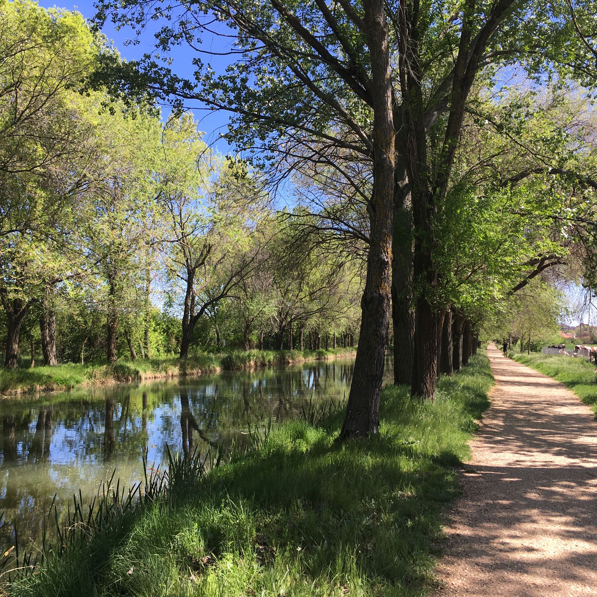
Hiking around El Cerrato
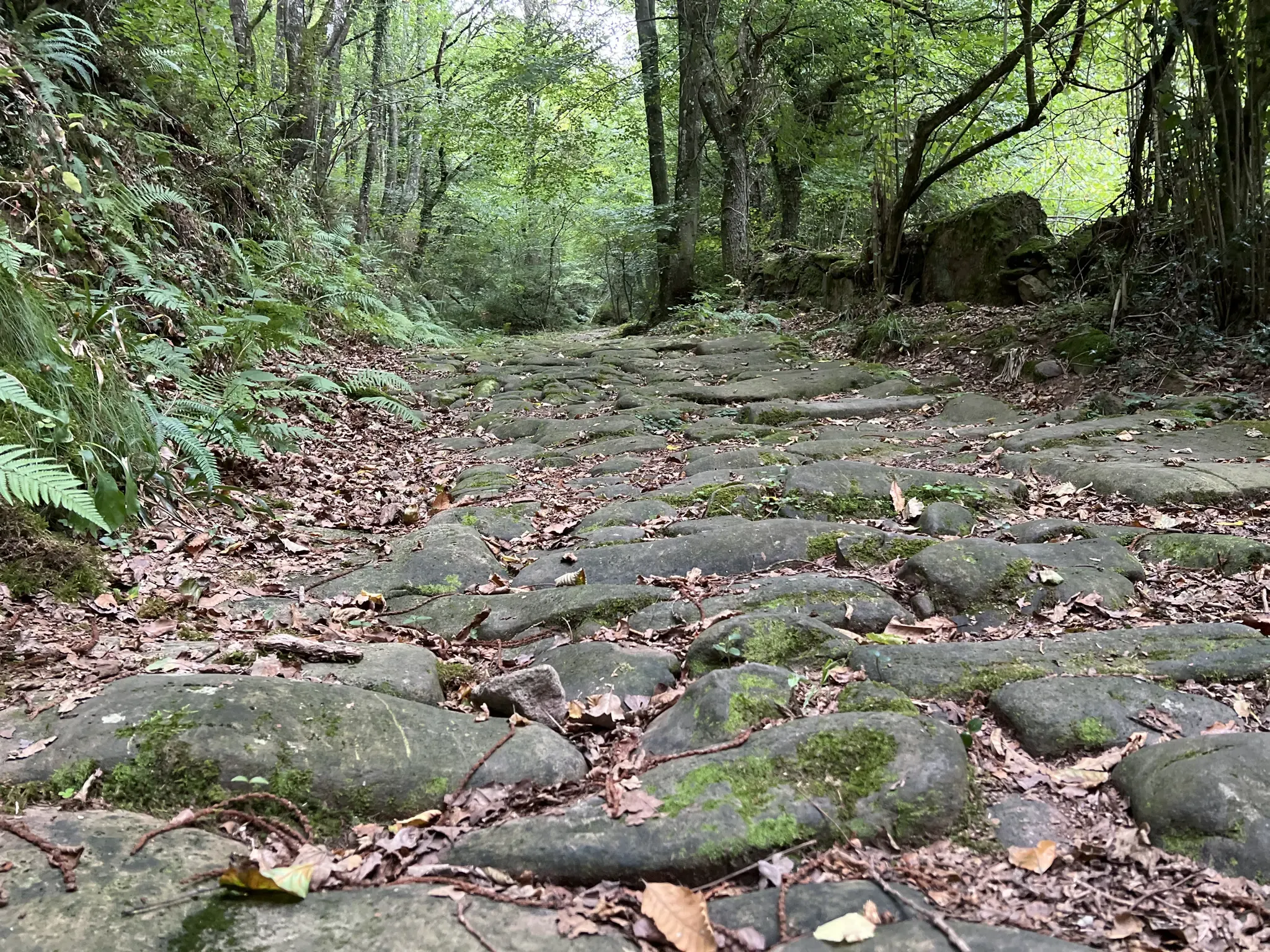
La Calzada de los Blendios (GR 73) — From the plateau to the sea
Other adventures in Palencia


Tips from the Community

Beautiful glacial lake below the Agujas de Cardaño
0
0

Impressive oak tree over 600 years old, easy walk, well signposted and very pleasant.
0
0

The Mazobre Waterfall, located in the Palentina Mountains within the Fuentes Carrionas and Fuente Cobre Natural Park, is one of the most spectacular spots in the province of Palencia. It is located near Cardaño de Arriba, in the municipality of Velilla del Río Carrión.
1
0

The Bear Trail in Cervera de Pisuerga is a circular hiking route of approximately 11 kilometres. It begins at the San Roque bridge and follows the right bank of the Pisuerga River, passing through the village of Arbejal and reaching the Requejada reservoir.
5
0
Climbing Curavacas is an exciting experience for mountain lovers. There are several routes available, such as Callejo Grande and Senda del Notario, which offer different levels of difficulty. In addition, in the area you can find glacial lagoons, such as Pozo Curavacas and Pozos del Ves, which add a special touch to the landscape.
5
0

Spectacular to see it frozen and to be able to walk on it
0
0
The Pisuerga River rises in the province of Palencia, in the region of Castile and León, Spain. Its source is in the Covarrés glacial basin, between the Valdecebollas peak and the Sierra de Híjar, in a place known as Sel de la Fuente.
3
0
Frequently Asked Questions
How many hiking trails are there in Palencia?
Palencia offers a wide variety of hiking opportunities, with over 300 routes available. These range from easy strolls to challenging mountain ascents, catering to all experience levels.
What kind of terrain can I expect on Palencia's hiking trails?
The terrain in Palencia is highly diverse. You can find gentle riverbank paths along the Pisuerga and Carrión rivers, dense forests, open meadows, and challenging mountain landscapes within the Palencia Mountain Nature Park. Unique rock formations, such as those found on the Las Tuerces Labyrinth Trail, also characterize the region.
Are there easy hiking trails suitable for beginners or families in Palencia?
Yes, Palencia has over 130 easy hiking routes perfect for beginners or families. Trails along the Canal de Castilla or around Monte El Viejo offer gentle, circular paths. The Path "El Roblón de Estalaya" (PRC-P 4) is another accessible circular route within the Montaña Palentina Natural Park.
Can I find trails with waterfalls in Palencia?
Yes, Palencia features trails that lead to beautiful waterfalls. The Mazobre Waterfall Trail is a moderate 6.3 km route that takes you to a notable waterfall, offering a refreshing natural highlight.
Are there any circular hiking routes in Palencia?
Many trails in Palencia are circular, providing convenient starting and ending points. Examples include the Senda del Oso from Cervera de Pisuerga (PRC-P05) and the Path "El Roblón de Estalaya" (PRC-P 4), both located within the Montaña Palentina Natural Park.
What are some notable natural features or landmarks to see while hiking in Palencia?
Palencia's trails offer access to impressive natural features. You can explore the ancient yew forest on the Tejeda de Tosande Trail, discover the unique rock formations of the Las Tuerces Labyrinth Trail, or visit the source of the Pisuerga River, known as Fuente Cobre. The region also boasts peaks like Curavacas and Espigüete, and glacial lagoons such as Pozo de las Lomas.
Are there any challenging hikes for experienced trekkers in Palencia?
Yes, Palencia offers over 30 difficult routes for experienced hikers. These include ascents to prominent peaks like Curavacas from Vidrieros and Espigüete by the East ridge, both within the Parque Natural Montaña Palentina. These trails often involve significant elevation gain and rugged terrain.
What do other hikers enjoy most about hiking in Palencia?
The komoot community highly rates hiking in Palencia, with an average score of 4.5 stars from over 600 reviews. Hikers frequently praise the diverse landscapes, from tranquil river valleys to majestic mountains, and the well-maintained paths that offer a variety of experiences for all skill levels.
Are there viewpoints along the hiking trails in Palencia?
Yes, Palencia's mountainous areas, particularly within the Palencia Mountain Nature Park, feature several viewpoints. Miradores like Piedrasluengas, Alto de la Varga, Alba, and Alto de Peñas Negras offer impressive panoramic views of the surrounding landscapes, including forests, valleys, and peaks.
What is the best time of year to go hiking in Palencia?
The best time to hike in Palencia is generally during spring and autumn when the weather is mild and the natural scenery is vibrant. Summer also offers good conditions, especially for higher altitude trails. Winter hiking is possible, particularly in the Palencia Mountain Nature Park, but requires appropriate gear for snow-capped peaks.
Are there any caves or lakes to explore near the hiking routes?
Yes, Palencia has several interesting caves and lakes. You can visit the Pisuerga River Source (Cueva del Cobre) or the Well of the Cueva de los Franceses. For lakes, the Pozo de las Lomas, a glacial lagoon, and the Aguilar Reservoir are popular spots for hikers to enjoy.
Are there any pilgrimage routes that pass through Palencia?
Yes, Palencia is an important part of the historic Camino Francés, a section of the St. James Way. Hikers can experience sections of this renowned pilgrimage route, such as the stages between Frómista and Carrión de los Condes, and Carrión de los Condes and Calzadilla de la Cueza. The Camino Lebaniego also crosses spectacular landscapes in the region.
Most popular routes in Palencia
Most popular attractions in Palencia

Get inspired with the komoot mobile app


Didn’t find what you were looking for?
Check out more Hikes throughout Palencia below and find the perfect route in your destination.
Explore more
Browse the best Hikes in other regions.
