The best mountain hikes around Naturpark Rieserferner-Ahrn - Parco Naturale Vedrette di Ries-Aurina
4.8
(27)
317
hikers
13
hikes
Mountaineering around Naturpark Rieserferner-Ahrn - Parco Naturale Vedrette di Ries-Aurina offers a high-alpine environment characterized by rugged peaks and numerous glaciers. This South Tyrolean park features 38 summits exceeding 3,000 meters, including prominent peaks like Hochgall and Schneebiger Nock. The landscape is defined by its "water-rich" nature, with mountain brooks, clear lakes such as Lake Anterselva, and extensive forests of spruce, larch, and Swiss stone pine. These diverse terrain characteristics provide a range of challenging ascents and glacier tours for…
Last updated: July 8, 2026
5.0
(3)
66
hikers
15.3km
06:35
1,360m
1,360m
Hard mountaineering route. Very good fitness required. Sure-footedness, sturdy shoes and alpine experience required.
5.0
(3)
56
hikers
14.3km
07:37
1,330m
1,330m
Hard mountaineering route. Very good fitness required. Sure-footedness, sturdy shoes and alpine experience required.

Sign up for free
4.4
(10)
40
hikers
Hard mountaineering route. Very good fitness required. Mostly accessible paths. Sure-footedness required.
5.0
(1)
36
hikers
Hard mountaineering route. Very good fitness required. Sure-footedness, sturdy shoes and alpine experience required.
5.0
(3)
42
hikers
14.9km
04:33
480m
480m
Moderate mountaineering route. Good fitness required. Mostly accessible paths. Sure-footedness required.
Get access to more routes and recommendations from other explorers.
Sign up for free
Already have an account?
Our route recommendations are based on thousands of hikes, rides, and runs completed by other people on komoot.
Start today with a free account
Your next adventure awaits.
Login or Signup
Popular around Naturpark Rieserferner-Ahrn - Parco Naturale Vedrette di Ries-Aurina
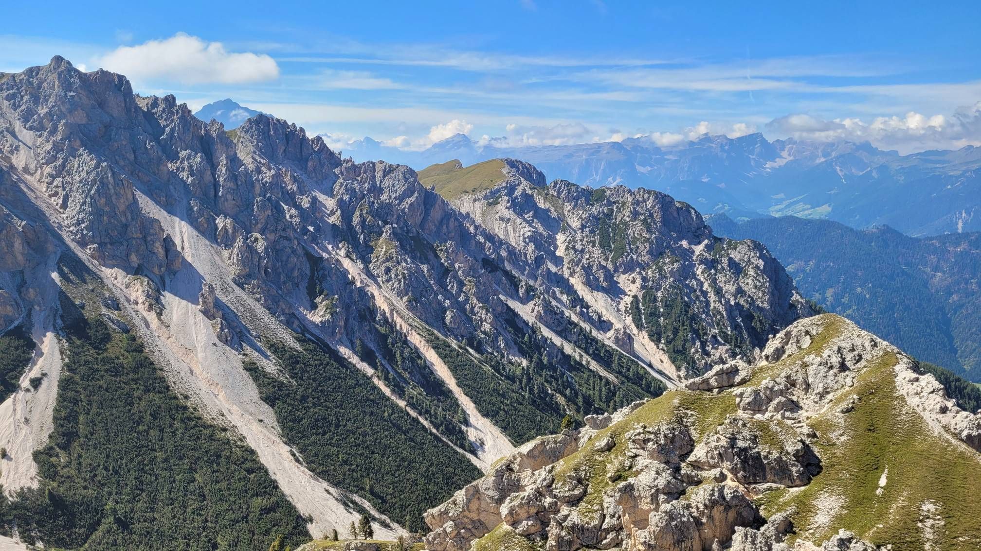
Impressive hikes in the mountains around South Tyrol’s Bruneck

The most beautiful waterfalls of the Alps
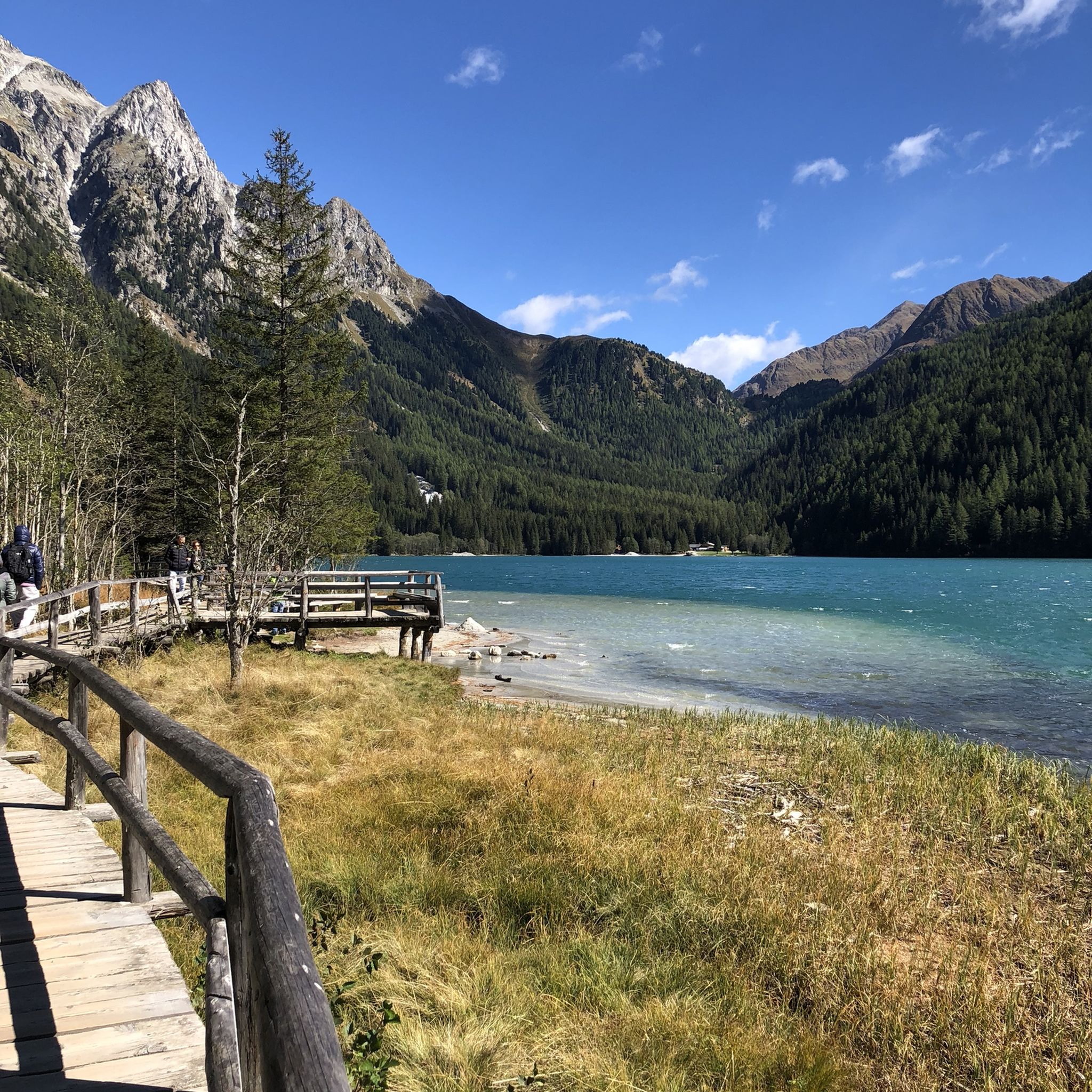
Hiking around Naturpark Rieserferner-Ahrn - Parco Naturale Vedrette di Ries-Aurina
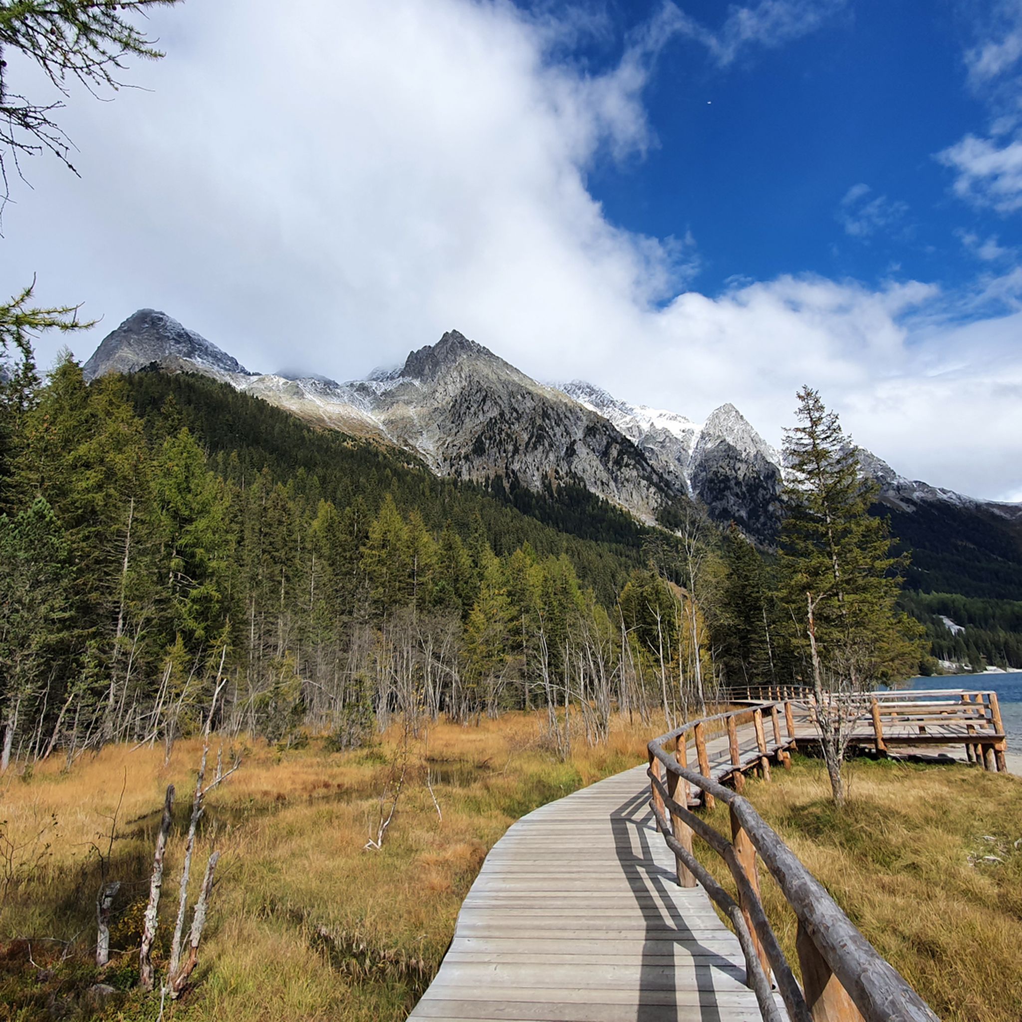
Cycling around Naturpark Rieserferner-Ahrn - Parco Naturale Vedrette di Ries-Aurina
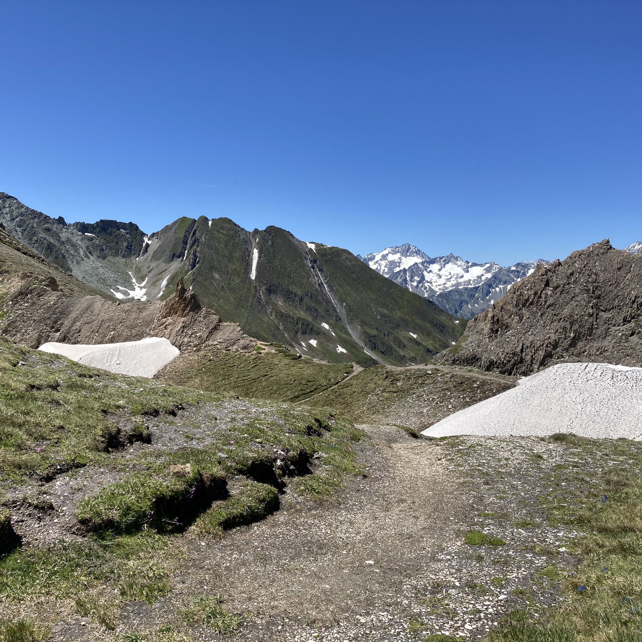
MTB Trails around Naturpark Rieserferner-Ahrn - Parco Naturale Vedrette di Ries-Aurina
Road Cycling Routes around Naturpark Rieserferner-Ahrn - Parco Naturale Vedrette di Ries-Aurina
Running Trails around Naturpark Rieserferner-Ahrn - Parco Naturale Vedrette di Ries-Aurina

Gravel biking around Naturpark Rieserferner-Ahrn - Parco Naturale Vedrette di Ries-Aurina
Other adventures around Naturpark Rieserferner-Ahrn - Parco Naturale Vedrette di Ries-Aurina


Tips from the Community

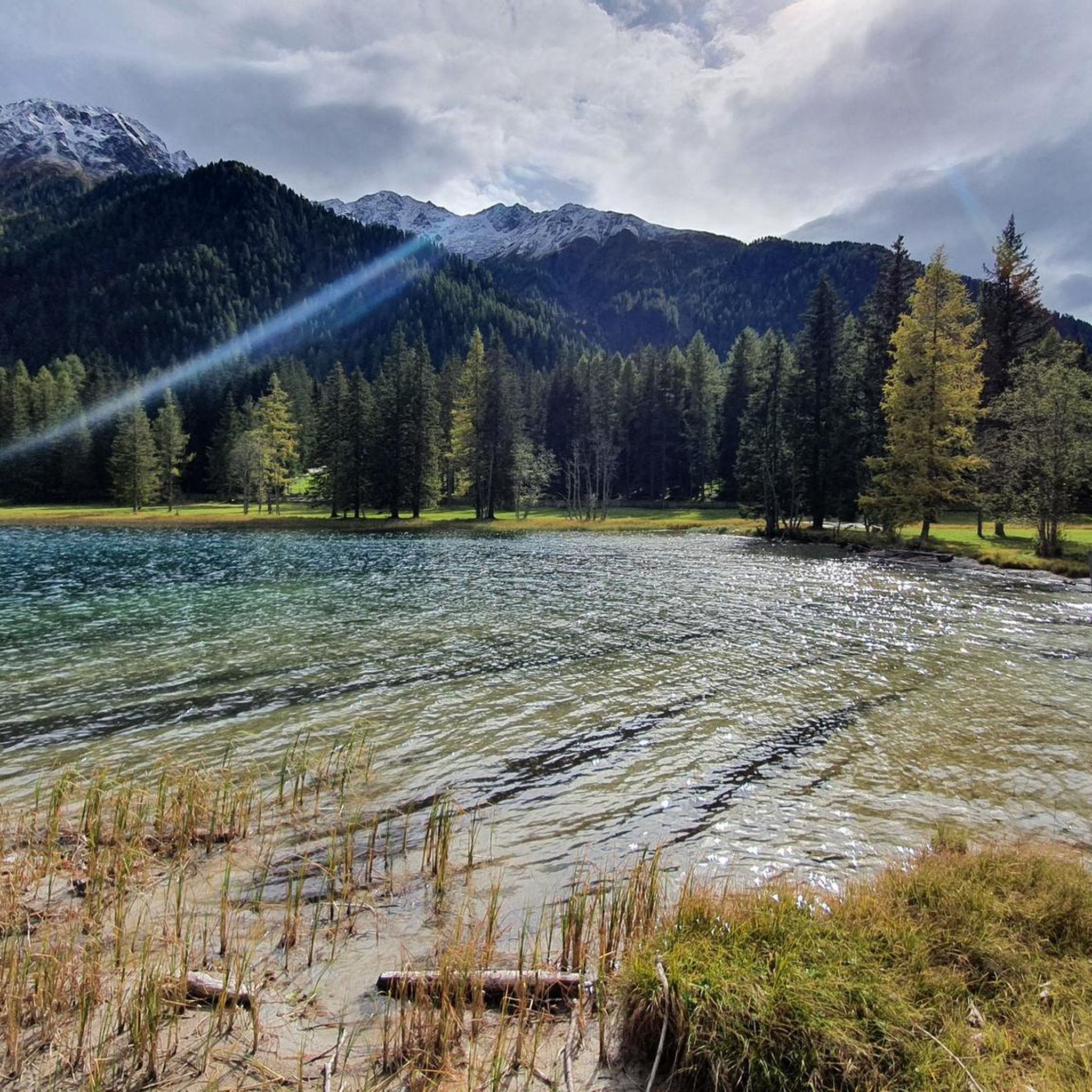
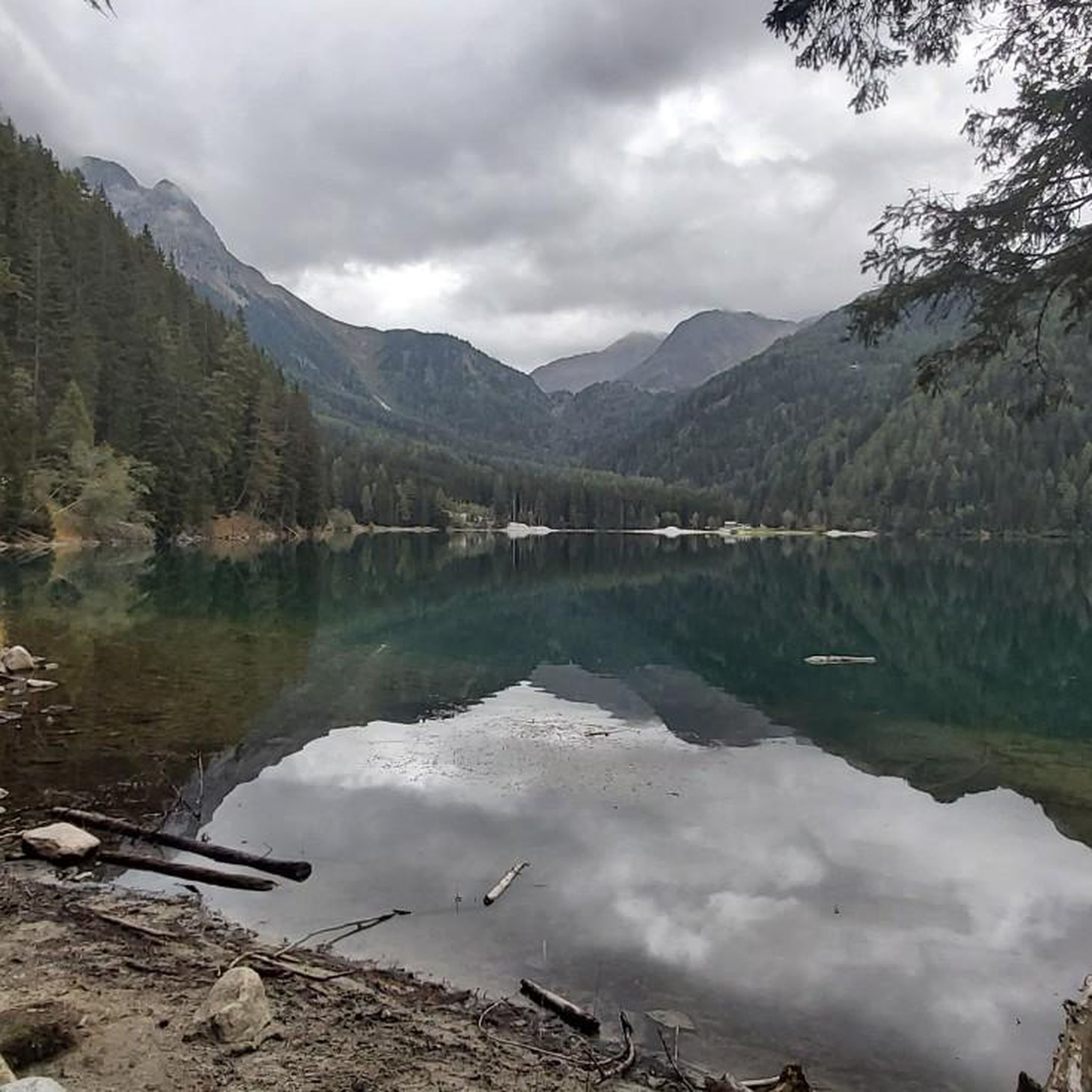
The lake's water shimmers in impressive turquoise-green hues. With a surface area of approximately 44 hectares, it is the third-largest natural lake in South Tyrol. It has a maximum depth of 38 meters. It probably formed at the end of the last Ice Age by a natural landslide or rockslide that blocked the valley and dammed the water. Due to its altitude and low water temperature (below 17°C year-round), it is not a bathing lake, but a typical cold mountain lake. A lovely path, partly on wooden boardwalks, leads us around the lake.
1
0

A beautiful vantage point. Lake Antholz is on the lower left, and Lake Obersee is on the right. The steep road up to the Staller Sattel is also clearly visible from here. An overview board provides additional orientation!
0
0

Nice restaurant and there were peacocks on the property
0
0

The climb is worth it for the breathtaking view alone. A quick tip: stop at the lake before stopping at the Kasseler Hut.
0
0

You can walk around the lake on a 3.5 km trail, with a gain of approximately 90 meters. During the hike, you'll repeatedly enjoy magnificent views of the lake and its magnificent colors.
9
0

Very beautiful lake also interesting for children
1
0

Super friendly service and delicious food!
1
0

From May 16, 2025 (12 noon), the Staller Sattel will be open to all vehicles again. During the summer months, the pass is accessible 24 hours a day with traffic lights. The crossing from the Defreggental to the Antholzertal is possible every hour from 1 to 15 minutes. The crossing from the Antholzertal to the Defreggental is possible every hour from 30 to 45 minutes.
0
0
Frequently Asked Questions
What kind of terrain can I expect on mountaineering routes in Naturpark Rieserferner-Ahrn?
The Naturpark Rieserferner-Ahrn offers a high-alpine environment with rugged peaks and numerous glaciers. You'll encounter diverse terrain, from challenging ascents to glacier tours. The park is also known for its 'water-rich' nature, featuring mountain brooks, clear lakes, and extensive forests of spruce, larch, and Swiss stone pine.
Are there any easy mountaineering routes suitable for beginners in the park?
While many routes in Naturpark Rieserferner-Ahrn are classified as difficult, there are also moderate options available. For example, the Staller Pass – Lake Anterselva loop from Antholzer See - Lago di Anterselva is a moderate 9.1-mile (14.7 km) trail that takes you through alpine valleys and past Lake Anterselva.
What are some notable natural features or landmarks to look out for during a mountaineering tour?
The park is famous for its abundant glaciers and 38 summits exceeding 3,000 meters. You'll find picturesque mountain lakes like Lake Anterselva, and impressive waterfalls such as those of Riva and Reinbach. Keep an eye out for highlights like the Austria–Italy Border Monument at Staller Sattel or the Monte Nevoso / Schneebiger Nock (3,358 m) Summit for breathtaking views.
Can I find circular mountaineering routes in Naturpark Rieserferner-Ahrn?
Yes, many mountaineering routes in the park are designed as loops. A popular option is the Große Windschar – Huber Alm loop from Mühlbachtal, a difficult 9.5-mile (15.3 km) trail. Another challenging circular route is the Lake Above Kasseler Hut loop from Naturpark Rieserferner-Ahrn, offering high-alpine views.
Are there any multi-day mountaineering options with hut stops in the region?
The Naturpark Rieserferner-Ahrn is well-equipped with mountain huts that can serve as refreshments stops or overnight stays for longer treks. While specific multi-day routes are not detailed here, the presence of huts like Durra Alm (Durra Alm) makes multi-day planning feasible.
What do other mountaineers enjoy most about the routes in Naturpark Rieserferner-Ahrn?
The mountaineering routes in Naturpark Rieserferner-Ahrn are highly rated by the komoot community, with an average score of 4.8 stars from over 20 reviews. Mountaineers often praise the challenging ascents, the stunning high-alpine views, and the diverse terrain that includes glaciers and picturesque mountain lakes.
Are there any family-friendly mountaineering routes in Naturpark Rieserferner-Ahrn?
While many mountaineering routes are challenging, the park offers a range of trails. For families, focusing on paths around the serene mountain lakes, such as Lake Anterselva, can be a good option. The Staller Pass – Lake Anterselva loop is a moderate route that might be suitable for families with some hiking experience.
What is the best time of year for mountaineering in Naturpark Rieserferner-Ahrn?
The best time for mountaineering in Naturpark Rieserferner-Ahrn is typically during the summer months when the high-alpine trails are more accessible and free of snow. However, the park's abundance of snow also makes it a popular destination for ski tours in winter, offering different mountaineering experiences.
How many mountaineering routes are available in Naturpark Rieserferner-Ahrn?
There are over 10 mountaineering routes available in Naturpark Rieserferner-Ahrn, catering to various skill levels. These include 4 moderate and 9 difficult routes, ensuring a suitable challenge for most mountaineers.
Are there specific viewpoints or summits recommended for panoramic views?
Absolutely. The park's 38 summits exceeding 3,000 meters offer incredible panoramic views. Peaks like Hochgall, Dreiherrenspitze, Rötspitze, and Schneebiger Nock are particularly renowned. You can also find specific viewpoints like the Heroes' Cross on the border or the Capercaillie Lek.
What are the options for parking when accessing mountaineering trailheads?
Specific parking information for individual trailheads is best checked locally or on detailed route descriptions. However, popular access points like those near Lake Anterselva (Antholzer See) or Mühlbachtal typically offer parking facilities for visitors looking to embark on mountaineering tours.
Can I access the mountaineering routes using public transport?
Public transport options are available to reach various access points within the Naturpark Rieserferner-Ahrn. While direct access to every trailhead might require some planning, regional buses often connect to villages and starting points for tours. It's advisable to check local bus schedules for the most up-to-date information.
Most popular routes around Naturpark Rieserferner-Ahrn - Parco Naturale Vedrette di Ries-Aurina
Most popular attractions around Naturpark Rieserferner-Ahrn - Parco Naturale Vedrette di Ries-Aurina

Get inspired with the komoot mobile app


Explore more
Browse the best Mountain Hikes & Routes in other regions.
