Attractions and Places To See around Parco naturale regionale delle Prealpi Giulie - Top 20
Best attractions and places to see around Parco naturale regionale delle Prealpi Giulie include a diverse range of natural landscapes and cultural heritage sites. This protected area in northeastern Italy spans nearly 10,000 hectares, characterized by rugged mountains, lush forests, deep valleys, and alpine meadows. The park is a biodiversity hotspot where Mediterranean, Illyrian, and Alpine biogeographical zones converge, supporting over 1,250 plant species and varied fauna. Visitors can explore karst landscapes, historical elements like traditional rural buildings, and trails…
Last updated: August 31, 2026
Safe bicycle lane next to main road
Highlight (Segment) • Cycleway
Translated by Google •
Tip by

Elio Franz Shelter
Highlight • Mountain Hut
Translated by Google •
Tip by

Sign up now to discover places like this
Get recommendations on the best single tracks, peaks, & plenty of other exciting outdoor places.
Sign up for free
Casera Nischiuarch Shelter
Highlight • Mountain Hut
Translated by Google •
Tip by

Resia Valley Cycle Path
Highlight (Segment) • Cycleway
Translated by Google •
Tip by

Resartico Shelter (Mining Village)
Highlight • Mountain Hut
Translated by Google •
Tip by

Sign up for free to discover even more attractions around Parco naturale regionale delle Prealpi Giulie.
Sign up for free
Already have an account?
Start today with a free account
Your next adventure awaits.
Login or Signup
Popular around Parco naturale regionale delle Prealpi Giulie
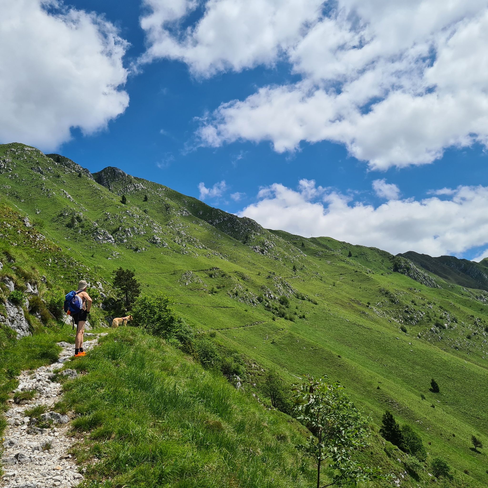
Hiking around Parco naturale regionale delle Prealpi Giulie
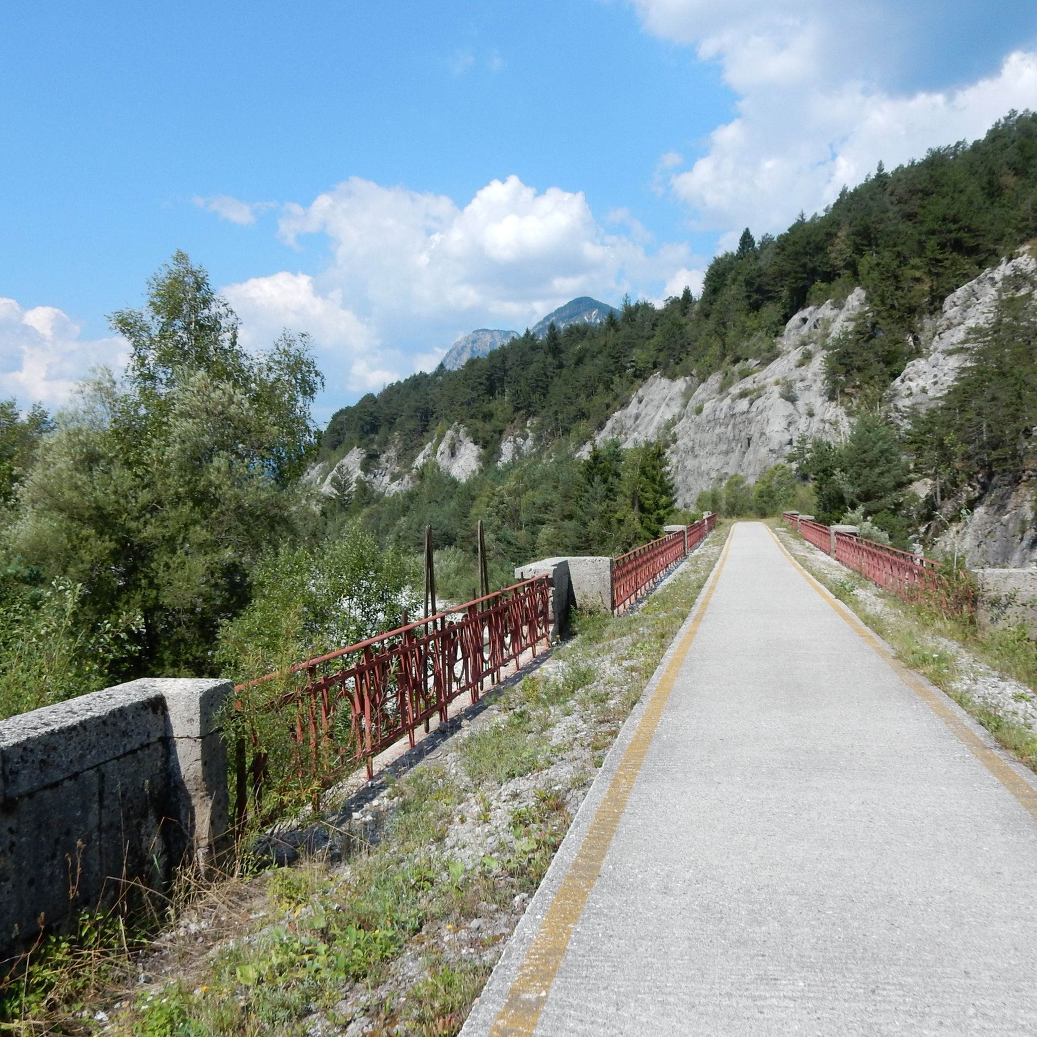
Road Cycling Routes around Parco naturale regionale delle Prealpi Giulie
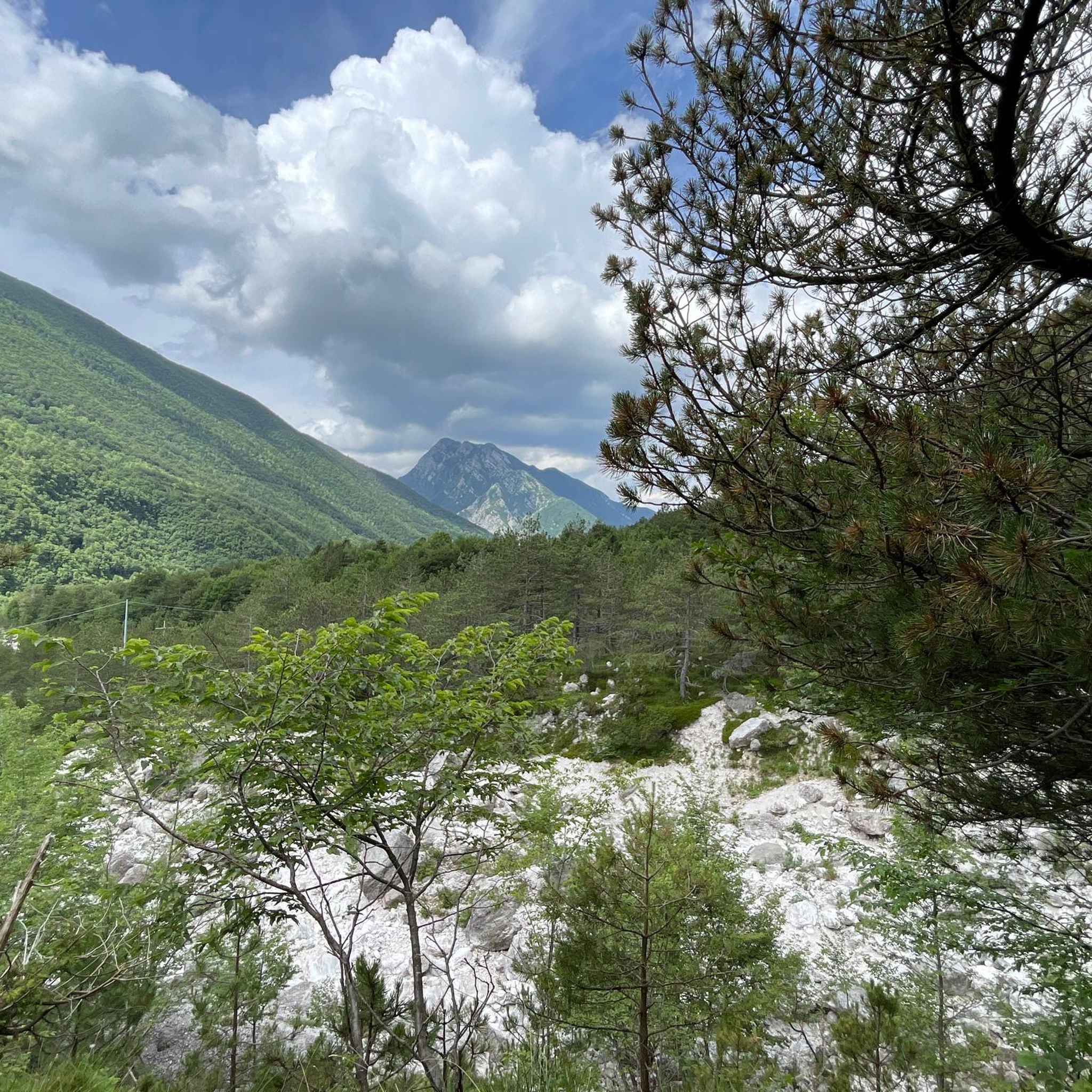
Cycling around Parco naturale regionale delle Prealpi Giulie
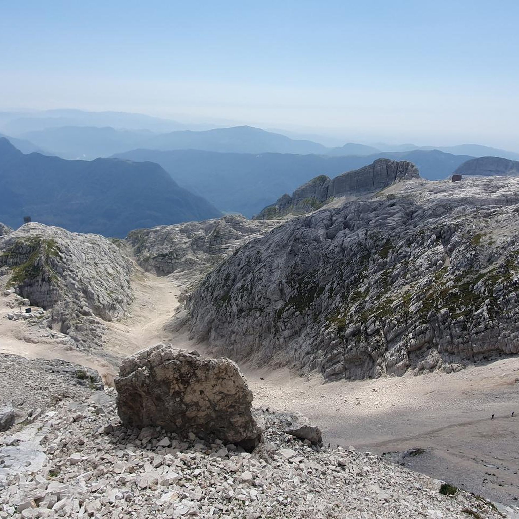
Running Trails around Parco naturale regionale delle Prealpi Giulie
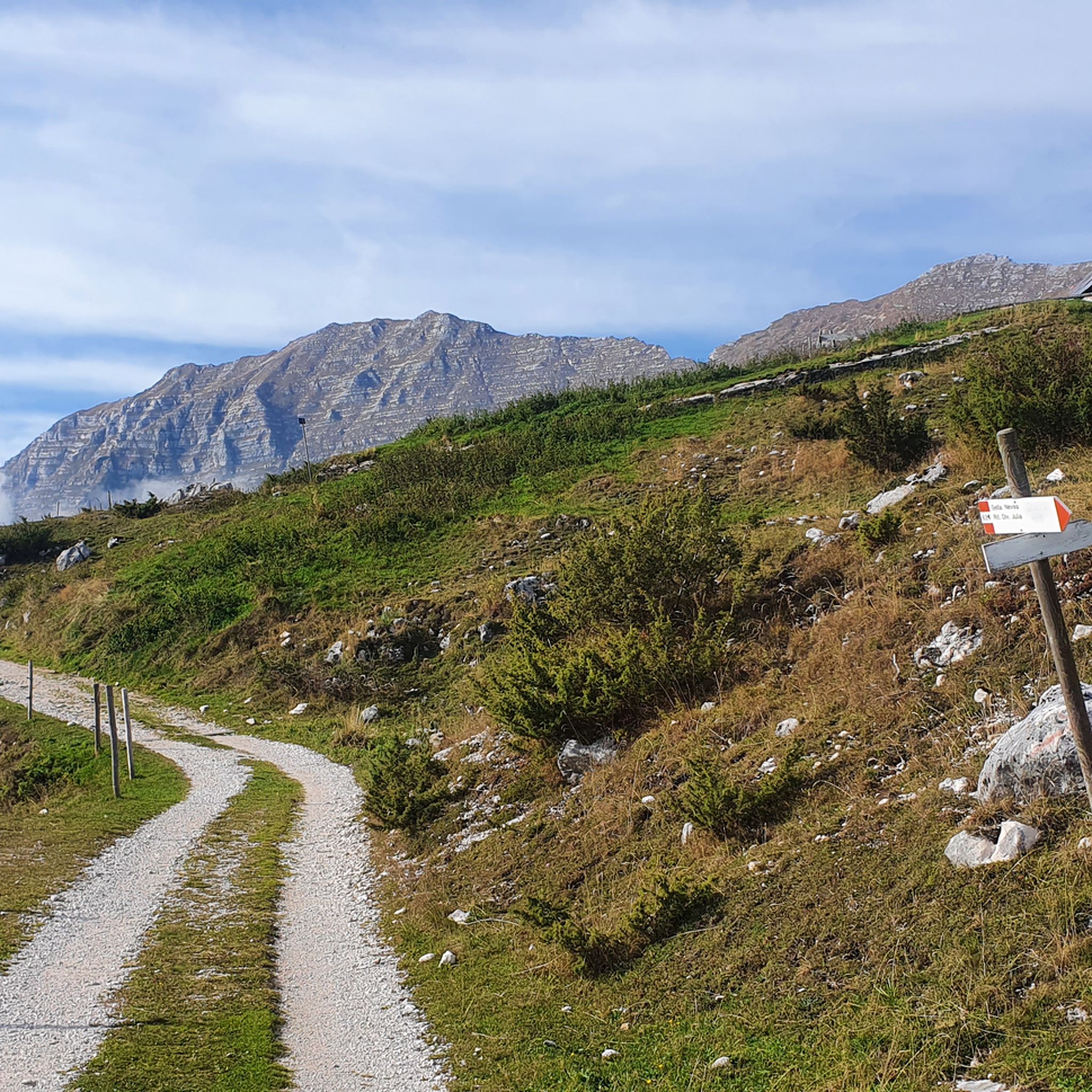
MTB Trails around Parco naturale regionale delle Prealpi Giulie

Mountain Hikes around Parco naturale regionale delle Prealpi Giulie
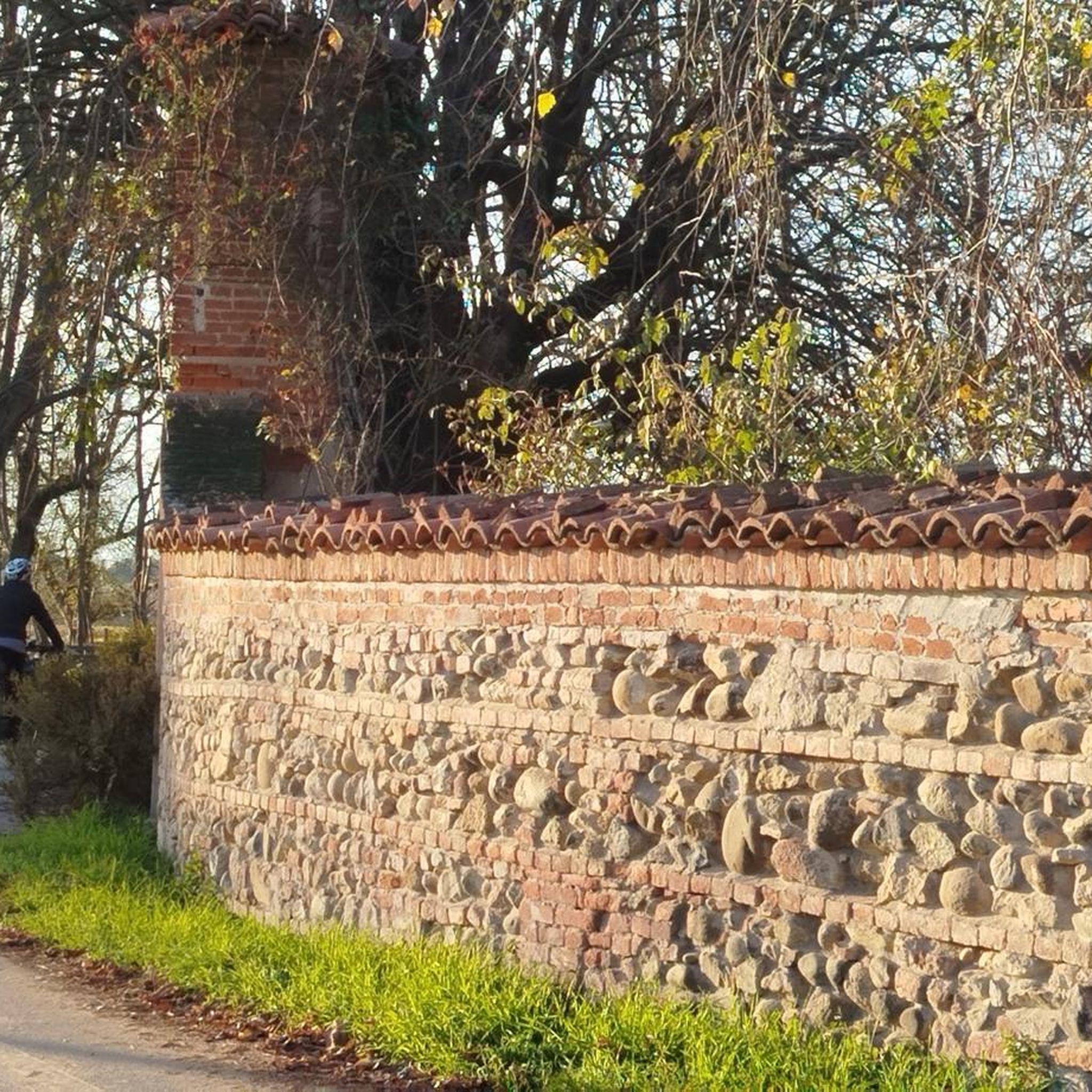
Gravel biking around Parco naturale regionale delle Prealpi Giulie
Tips from the Community

The Nischiuarch Alpine Hut is located in a beautiful grassy valley west of the mountain of the same name. Located at just under 1,200 meters above sea level, it is a convenient base at the eastern end of the long Musi mountain range. Completely renovated, the hut consists of two buildings: the one that is always open has a ground-floor room with a stove, table, bench, and adjoining cellar, while upstairs there are a couple of bed frames with mattresses. It can be reached from S. Anna di Carnizza in about an hour, or via CAI trail no. 739, Passo Tanamea, in the municipality of Lusevera, S.S. 646, in about an hour and a half. Useful Information - Water: Non-potable, but available depending on seasonal weather conditions - Beds: 6 - Wood-burning stove, some dishes, small pantry with basic necessities - Firewood: A small supply is available at the facility or easily found in the surrounding woods The facility also has 14 additional beds in the area reserved for recognized institutions and associations. Keys can be requested by emailing info@parcoprealpigiulie.it Shelters are a valuable asset to our area, providing hikers with a valuable base for trekking. When using them, it is important not to leave any traces of your presence, so we recommend: - Do not leave food easily accessible to mice and other animals; - Clean common areas; - Take all waste down to the valley. This facility is always open and unmanaged; maintenance is handled by the Park Authority with the essential contribution of local volunteers and all users! More info at: https://www.parcoprealpigiulie.it/it/principale/attivita/ricoveri-montani/ricovero-casera-nischiuarch
0
0
ATTENTION Hikers are advised that the Franz Shelter in the municipality of Venzone will be closed until the ongoing extraordinary maintenance work is completed! The Franz Shelter is located in the Cuel de Frate area. It is a modest but well-equipped structure, complete with a stove, tables, and a bench. It can be easily reached via the CAI trail no. 701 from Tugliezzo in just over an hour. Alternatively, it can be reached on foot via the forest road (closed to vehicles) that ends right next to the shelter, also starting from Tugliezzo. It is a popular destination in all seasons as a starting point for hikes to Mount Plauris or the Cjariguart Valley. Beds: 4 Water: non-potable, but available depending on seasonal weather conditions. It is always open and unmanaged. Maintenance is handled by the Park Authority with the essential contribution of local volunteers and all users! More info at: https://www.parcoprealpigiulie.it/it/principale/attivita/ricoveri-montani/ricovero-franz
1
0

Bike paths like this one are built to top-notch quality in Italy, nothing to complain about. The route runs to San Giorgio and has the feel of a paved surface, covered in white concrete in many places and covered with soft, white gravel: like a Strade Bianchi up the mountain. It's a rather unique bike path with two river crossings over small bridges. It blends beautifully into the natural surroundings and provides a little adventure.
0
0

Beautiful dirt cycle path to San Giorgio di Resia
0
0

Dirt path with some ups and downs along the Resia stream
0
0
The Ricovero Resartico is located in the old miners' village, in the municipality of Resiutta in the upper valley of the Rio Resartico, on the northern slopes of Mount Lavara and Plauris. The refuge is an excellent starting point towards Forca Slips or for a guided tour of the mine entrance, accessible in the summer. The refuge can be reached via the CAI path no. 702 with an hour and a half's walk from the car park located after the Povici di Sopra locality at the entrance to the valley. Useful information Beds: 4-6 Water: non-potable It is a structure that is always open and not managed, maintenance is taken care of by the Park Authority with the fundamental contribution of local volunteers and all users! The huts are a precious asset for our territory, guaranteeing hikers a valid support point for trekking. In case of use it is important not to leave traces of your passage, therefore we recommend: Put out the fire; Do not leave food easily accessible to mice and other animals; Clean common areas; Take all types of waste down the valley
5
0

Unpaved, but well-beaten cycle path. Suitable for any type of bicycle. has slight climbs, around 7/8% and smooth descents. In case of rain, be careful of a ford with a stony bottom. At the end of the route you have to cross a wooden bridge, passing over a piece of wood not too wide, so be careful Eng: Unpaved, but well-beaten cycle path. Suitable for any type of bicycle. has slight climbs, around 7/8% and smooth descents. In case of rain, be careful of a ford with a stony bottom. At the end of the route you have to cross a wooden bridge, passing over a piece of wood not too wide, so be careful
1
0

Done! It took a long time, but in the end everything will be fine
3
0
Frequently Asked Questions
What kind of natural features can I explore in Parco naturale regionale delle Prealpi Giulie?
The park is renowned for its dramatic natural landscapes, including rugged mountains like Monte Canin (2,587 m) and Monte Plauris (1,958 m), lush forests, and deep valleys. You'll find clear waters, karst rocks, and spectacular features like the Fontanone di Goriuda, a waterfall emerging from a cave. The idyllic Fonda Lakes, two glacial lakes surrounded by flower-filled meadows, are also a highlight.
Are there any historical or cultural sites to visit in the park?
Yes, the park features several cultural and historical elements. You can explore traditional rural buildings known as 'stavoli' and ancient paths. The Mining Village of Resartico, now the Resartico Shelter, offers a glimpse into the region's past. Additionally, an Alpine Trail retraces ancient paths used during World War I, providing areas for historical reflection.
What outdoor activities are popular in Parco naturale regionale delle Prealpi Giulie?
The park is a haven for outdoor enthusiasts, offering over 200 kilometers of well-maintained hiking trails. You can also enjoy rock climbing, cycling, and during winter, skiing in nearby resorts. For specific routes, you can explore Road Cycling Routes, MTB Trails, and Easy Hikes in the area.
Are there any family-friendly activities or trails in the park?
Absolutely. The Fonda Lakes, for instance, are accessible via easy, family-friendly walking trails. The Resia Valley Cycle Path is also suitable for various bicycle types and offers a pleasant ride along the Resia stream, making it a good option for families.
Where can I find accommodation or shelter during my visit?
The park provides numerous mountain shelters ('ricoveri montani'), huts ('rifugi'), and bivouacs for rest and overnight stays. Notable examples include the Elio Franz Shelter, which is always open and well-equipped, and the Casera Nischiuarch Shelter, known for its excellent condition and amenities like solar panels and beds.
What is the best time of year to visit Parco naturale regionale delle Prealpi Giulie?
The park offers diverse experiences throughout the year. Spring and summer are ideal for hiking, cycling, and exploring the rich biodiversity, with meadows full of flowers. Autumn brings vibrant foliage. During winter, the park transforms into a popular destination for skiing and other winter sports in nearby resorts.
What makes the biodiversity of this park unique?
Parco naturale regionale delle Prealpi Giulie is a significant biodiversity hotspot because Mediterranean, Illyrian, and Alpine biogeographical zones converge here. This unique blend results in an extraordinary variety of flora and fauna, including over 1,250 plant species (sixty of which are endemic) and animals like red deer, chamois, alpine ibexes, and various birds, with the rock partridge being a symbol of the park.
Are there any specific cycling routes I should consider?
The Resia Valley Cycle Path is a popular choice, offering an unpaved but well-beaten route with slight climbs and descents along the Resia stream. For more options, you can explore the various Road Cycling Routes and MTB Trails available in the region.
What kind of hiking trails are available in the park?
The park boasts over 200 kilometers of hiking trails, ranging in difficulty. You can find themed trails focusing on naturalistic and cultural aspects, such as the botanical trails of Bila Pec and Monte Plauris, the geological trail of Canin, and the Valle Musi Nature Trail. For easier options, check out the Easy Hikes around Parco naturale regionale delle Prealpi Giulie.
What do visitors particularly enjoy about the shelters in the park?
Visitors appreciate the welcoming and well-maintained nature of the shelters. For example, the Elio Franz Shelter is loved for its simple, welcoming atmosphere, equipped with cots, a stove, and wood, making it suitable even for winter overnight stays. The Casera Nischiuarch Shelter is praised for its excellent condition, solar panels, and quiet surroundings, offering a peaceful retreat for hikers.
Are there any specific geological features or karst landscapes to see?
Yes, the area is rich in karst landscapes. You'll find numerous clear waters, karst rocks, and caves. A prominent example is the Fontanone di Goriuda, a spectacular waterfall that emerges directly from a cave, showcasing the unique hydrological features of the region. The landscape also features deep gorges carved by rivers.
Where can I get information or assistance during my visit to the park?
The park has five information centers strategically located to assist visitors in exploring the protected area. The main office of the park is situated in the Prato fraction of the municipality of Resia, where you can find detailed information and guidance for your visit.
Most popular routes around Parco naturale regionale delle Prealpi Giulie
Most popular attractions around Parco naturale regionale delle Prealpi Giulie

Get inspired with the komoot mobile app


Explore more
Still not found the Highlight you’re looking for? See guides of the top attractions in other regions:
