The best running trails around Parco Nazionale Dolomiti Bellunesi
4.3
(184)
16,245
runners
919
runs
Jogging around Parco Nazionale Dolomiti Bellunesi offers diverse terrain, from broad-leaved and coniferous forests to high-altitude grasslands and alpine trails. This UNESCO World Heritage site features elevations spanning from 400 to 2500 meters, providing a wide array of options for runners. The region is characterized by dramatic Dolomite peaks, serene lakes, and wild valleys, ensuring dynamic scenery for running experiences.
Best jogging routes around Parco Nazionale Dolomiti Bellunesi
- The most popular jogging route is Lago della Stua e Rifugio Bruno…
Last updated: July 11, 2026
5.0
(2)
51
runners
Hard run. Very good fitness required. Sure-footedness, sturdy shoes and alpine experience required.
47
runners
16.2km
03:47
1,560m
1,560m
Hard run. Very good fitness required. Sure-footedness, sturdy shoes and alpine experience required.

Sign up for free
4.0
(2)
137
runners
30.2km
05:00
1,740m
1,740m
Hard run. Very good fitness required. Sure-footedness, sturdy shoes and alpine experience required.
48
runners
16.7km
03:33
1,390m
1,390m
Hard run. Very good fitness required. Sure-footedness, sturdy shoes and alpine experience required.
5.0
(1)
35
runners
8.33km
01:03
330m
330m
Hard run. Very good fitness required. Mostly paved surfaces. Suitable for all skill levels.
Get access to more routes and recommendations from other explorers.
Sign up for free
Already have an account?
Our route recommendations are based on thousands of hikes, rides, and runs completed by other people on komoot.
Start today with a free account
Your next adventure awaits.
Login or Signup
Popular around Parco Nazionale Dolomiti Bellunesi
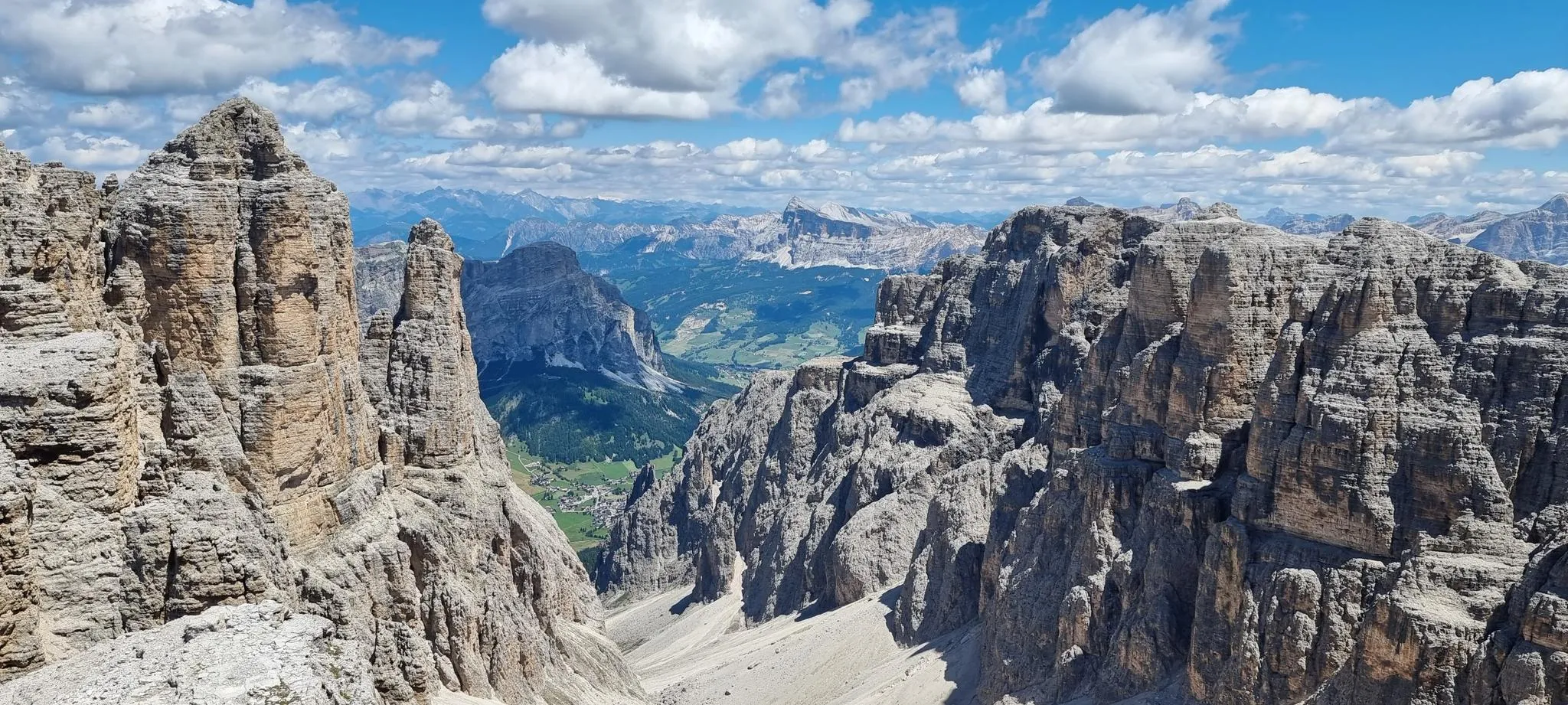
In the wake of legends – the Alta Via 2 of the Dolomites
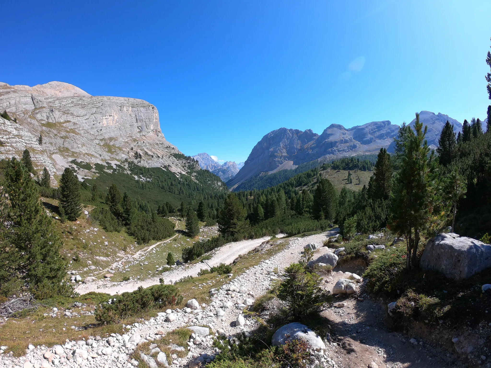
Run through the clouds – Alta Via 1 in the Dolomites
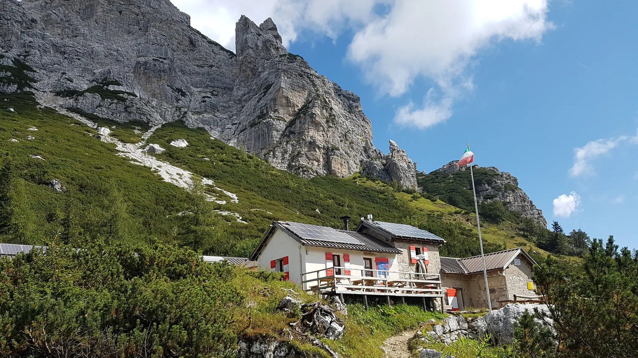
Alta Via Dolomiti Bellunesi – the wild Dolomiti Bellunesi National Park

Via Venezia Alpina – hiking across the Alps to the Adriatic Sea

The "Dream Path" hiking trail – From Munich to Venice in 28 stages
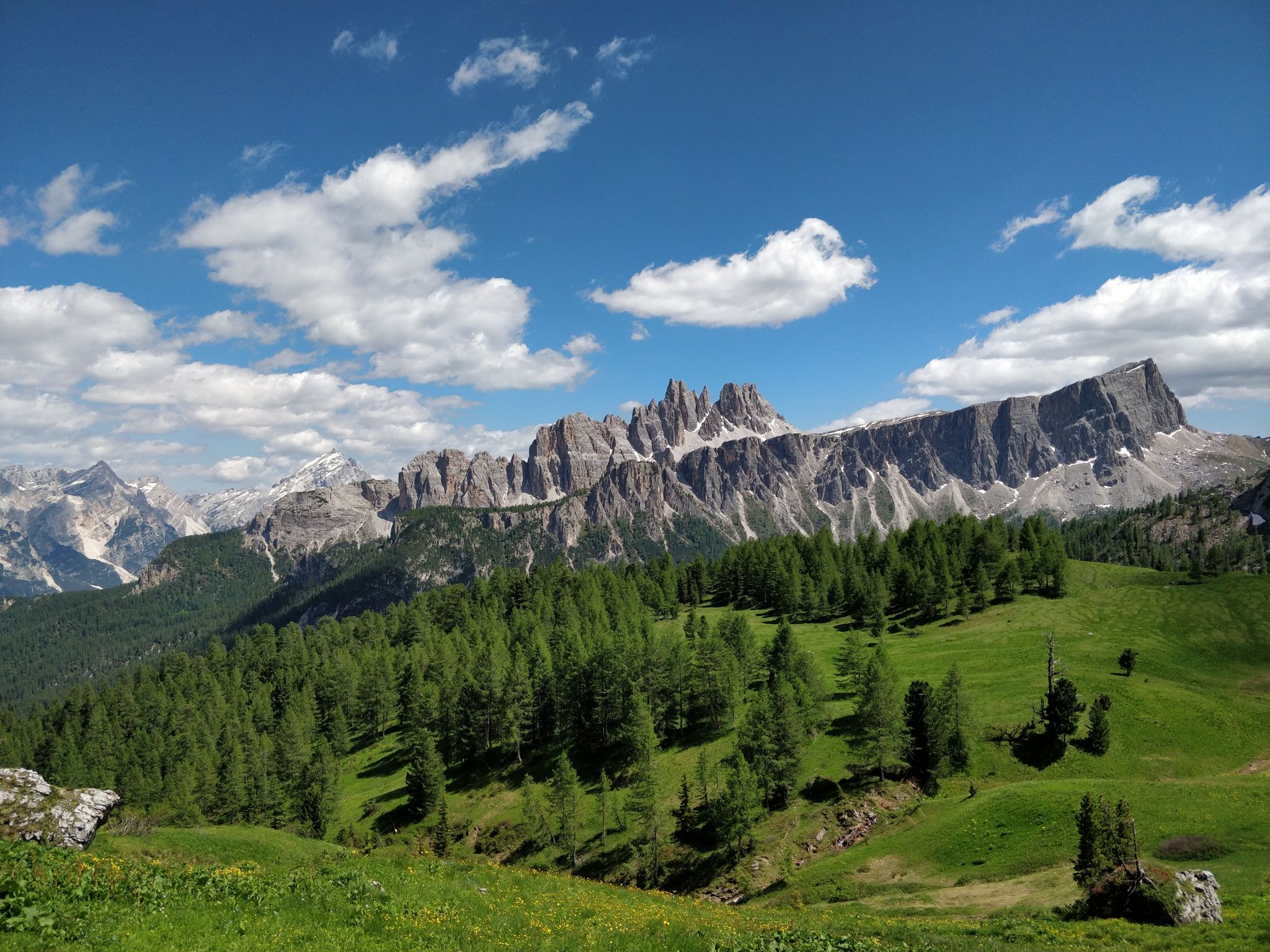
Hiking one step from heaven – Alta Via delle Dolomiti 1
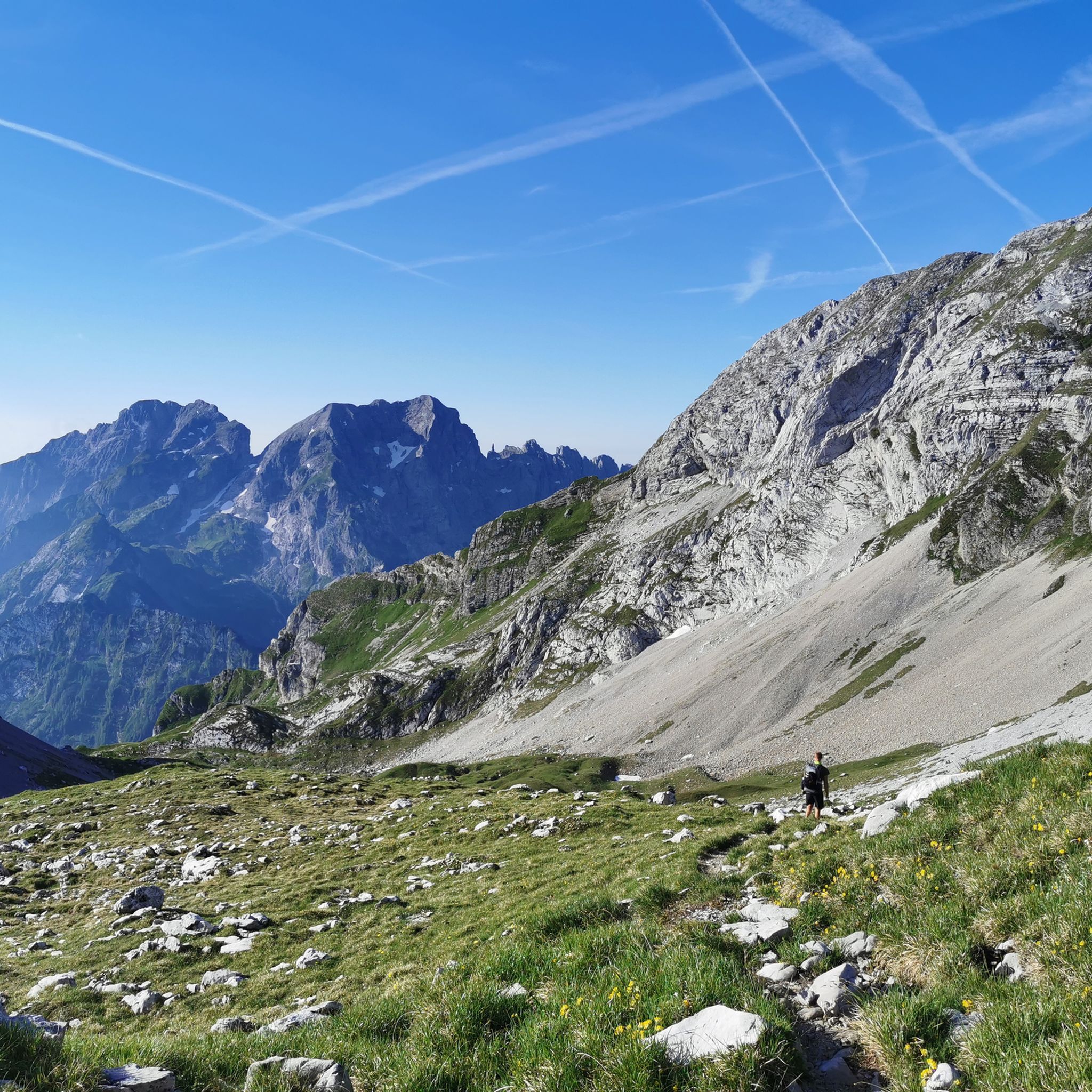
Hiking around Parco Nazionale Dolomiti Bellunesi
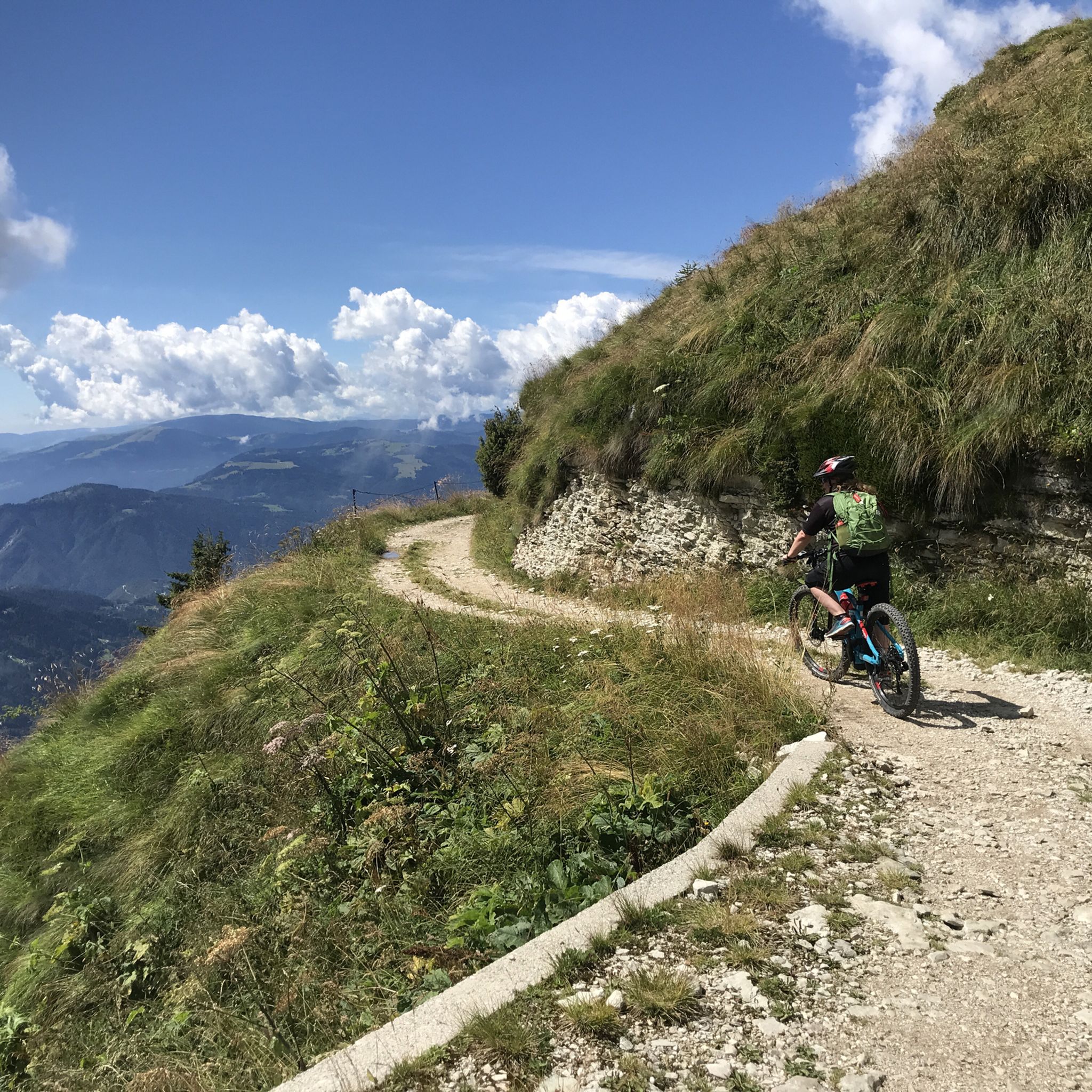
MTB Trails around Parco Nazionale Dolomiti Bellunesi
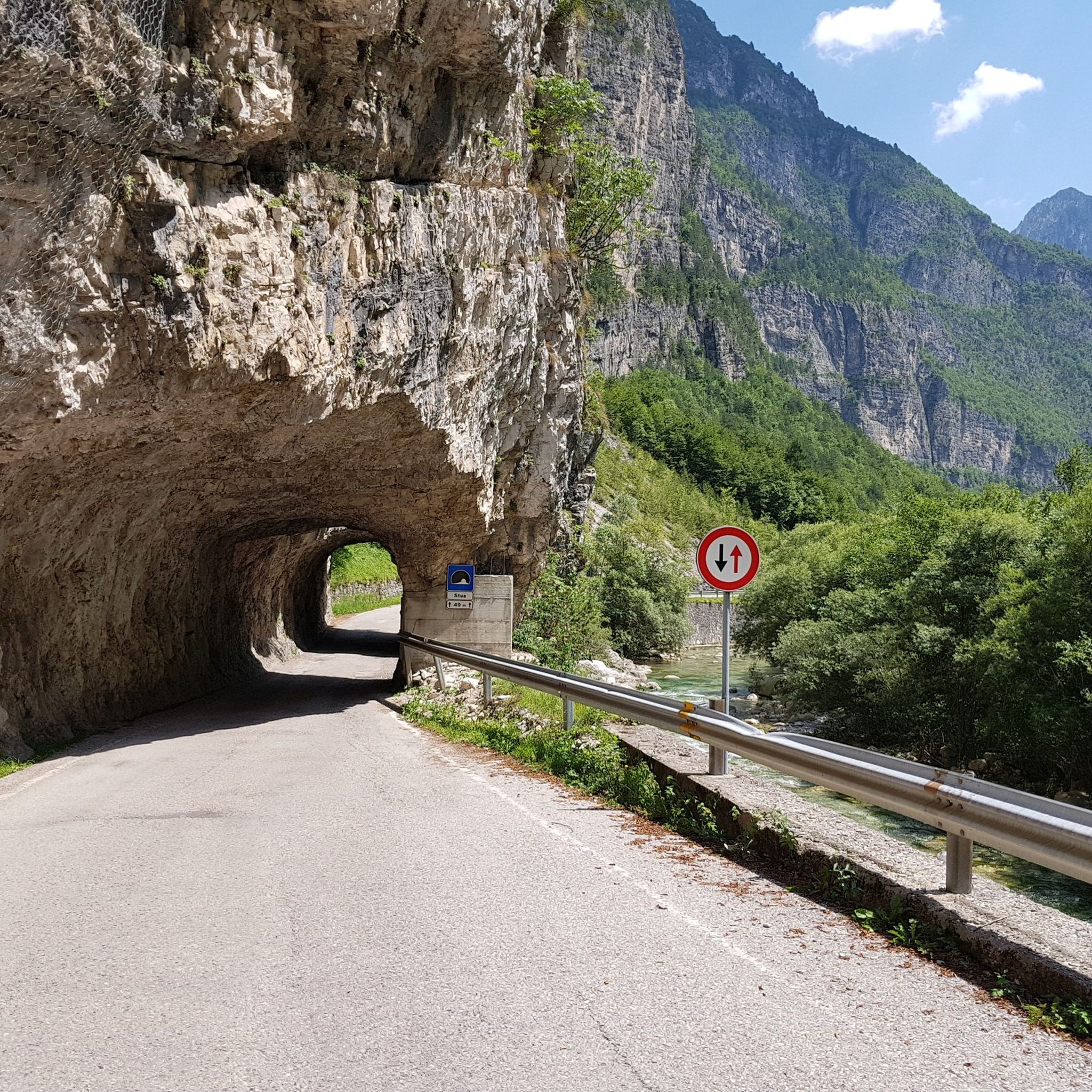
Road Cycling Routes around Parco Nazionale Dolomiti Bellunesi
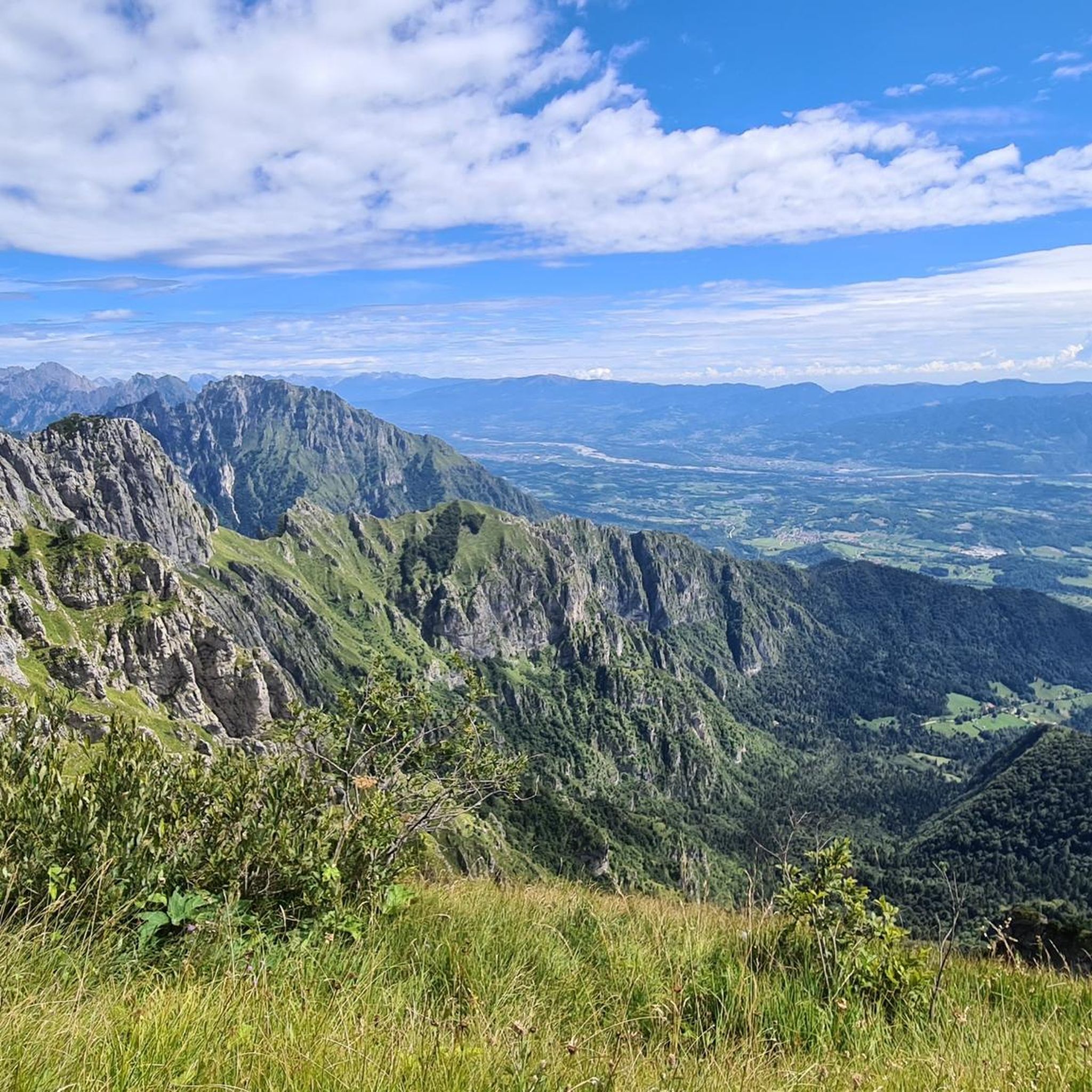
Cycling around Parco Nazionale Dolomiti Bellunesi
Other adventures around Parco Nazionale Dolomiti Bellunesi


Tips from the Community

In this season the lake turns green, emerald and turquoise
0
0

The highest peak in the Feltrine Alps, at 2,334 m. It is a grassy peak with panoramic views in all directions. To the north, the Pale di San Martino and the Lagorai mountains stand out, below the Primiero Valley. It can be reached from two directions: via the ridge trail 817 or from the east from the Monsampiano valley.
0
0
A beautiful refuge in a very panoramic location, accessible from the Croce d'Aune Pass via the long military road (also accessible by mountain bike, with caution). The refuge is the starting point for many hikes in the Feltrine Alps, including Mount Pavione, the highest peak.
0
0

Lago della Stua is an artificial lake in the heart of the Belluno Dolomites, in Val Canzoi, fed by the Caorame torrent. The dam that holds it back was built between 1952 and 1953 by SADE, an Italian electricity company, with the aim of generating hydroelectric energy. Origin of the name: The name "Stua" comes from the dialect term to indicate an artificial structure that blocked a torrent, used for floating timber. This practice consisted of transporting logs through torrents and rivers, exploiting the current of the water. The construction: The Lago della Stua dam is 54.3 meters high and 32.4 meters wide, and was built in the area of Orsera, a town in Cesiomaggiore, to allow the production of hydroelectric energy. The lake extends for about 1.5 square kilometers and is home to various species of fauna. Activities: Lago della Stua is a popular destination for outdoor tourism, with opportunities for sport fishing, trekking, mountain biking and bird watching. Its panoramic position and natural beauty make it an ideal place for hiking and outdoor activities. Importance: Lago della Stua represents an important source of renewable energy for the region and an important naturalistic site, contributing to the conservation of the biodiversity of the Dolomites.
1
0

A climb without difficulty, giving you a feeling of being in the deep Dolomites.
0
0

The artificial lake of Stua is located at an altitude of 696m. at the head of the Canzoi valley.
0
0

Along the challenging route they offer us a break to photograph them. Thanks to the author
0
0
You can admire a fantastic scenery
0
0
Frequently Asked Questions
How many running routes are available in Parco Nazionale Dolomiti Bellunesi?
The komoot community has mapped out 10 diverse running routes within Parco Nazionale Dolomiti Bellunesi. These range from moderate paths to challenging alpine trails, catering to various fitness levels.
Are there any easy or beginner-friendly jogging routes in the park?
While many routes in the park are considered difficult due to the mountainous terrain, there is 1 moderate route available. For a less strenuous option, consider the Running loop from Lago del Mis, which is 4.2 km long and offers scenic views around the lake. The Val Falcina also offers easy loops with a wild charm, though specific komoot routes for these might be more challenging.
Which running routes offer the best views of the Dolomites?
Many routes in Parco Nazionale Dolomiti Bellunesi provide stunning views of the majestic Dolomite peaks. The Giorgio Dal Piaz Mountain Hut – Le Vette Grandi Pass loop from Passo Croce d'Aune offers panoramic vistas as it traverses high-altitude passes. The region is known for its dramatic landscapes, ensuring breathtaking scenery on most alpine trails.
Can I find circular running routes in Parco Nazionale Dolomiti Bellunesi?
Yes, many of the running routes in the park are circular, allowing you to start and finish at the same point. Popular options include the challenging Lago della Stua e Rifugio Bruno Boz – loop run and the scenic Lake della Stua – Lake della Stua loop from Gruppo del Cimonega.
Are there any running trails that pass by waterfalls or lakes?
Absolutely! The park is rich in serene water bodies. The Running loop from Lago del Mis takes you around the picturesque Lake del Mis. The Mis Valley is also home to the spectacular Soffia and Cadini del Brenton waterfalls, which can be reached via pleasant walks, making them great points of interest near some running areas.
What are some interesting landmarks or natural features to see along the running routes?
Beyond the stunning mountain scenery, you can encounter several notable features. The Lake del Mis is a beautiful artificial lake. Many routes pass by mountain huts like the Giorgio Dal Piaz Mountain Hut or 7th Alpini Hut, offering rest stops and local hospitality. The Val Falcina Nature Trail provides an opportunity to explore the park's diverse flora and fauna.
What do other runners say about jogging in Parco Nazionale Dolomiti Bellunesi?
The running routes in Parco Nazionale Dolomiti Bellunesi are highly rated by the komoot community, with an average score of 4.4 stars from over 100 reviews. Runners often praise the diverse terrain, from lush forests to challenging alpine paths, and the breathtaking views of the Dolomite peaks. The variety of experiences, from serene lakeside paths to demanding mountain loops, is frequently highlighted.
Are there specific rules for bringing dogs on the running trails?
Parco Nazionale Dolomiti Bellunesi is a protected area. While dogs are generally allowed on trails, it's crucial to keep them on a leash to protect wildlife and ensure the safety of other visitors. Always check specific trail regulations or park guidelines before heading out, especially in sensitive ecological zones. For detailed information, you might consult the official park website: visitdolomitibellunesi.com.
What is the best time of year for running in Parco Nazionale Dolomiti Bellunesi?
The best time for running largely depends on the elevation and your preferred conditions. Summer (June to September) offers ideal conditions for high-altitude alpine trails, with warmer weather and clear paths. Spring and autumn provide beautiful scenery in the lower valleys and forests, though some higher routes might still have snow or be affected by early frosts. Winter running is possible on lower, maintained paths, but many alpine trails become inaccessible due to snow and ice.
Are there options for longer, more challenging trail runs?
Yes, the park is well-suited for challenging trail runs. Many routes feature significant elevation gain and technical terrain. For example, the Lago della Stua e Rifugio Bruno Boz – loop run covers over 17 km with more than 1200 meters of elevation gain, making it a demanding option for experienced runners. The region also hosts various ultra-trail events, indicating its suitability for endurance running.
Where can I find parking near the running trailheads?
Parking availability varies by trailhead. Many popular starting points, especially those leading to mountain huts or scenic areas, often have designated parking lots. For routes like the Giorgio Dal Piaz Mountain Hut – Le Vette Grandi Pass loop, you would typically find parking near Passo Croce d'Aune. It's advisable to check specific route descriptions or local maps for detailed parking information before your run.
Are there any family-friendly jogging routes in the park?
For families, focus on the easier, lower-altitude paths. While most komoot routes listed are difficult, the Running loop from Lago del Mis is a moderate option that is shorter and less strenuous. The Val Falcina also offers naturalistic ring-routes that are generally at moderate altitudes and suitable for pleasant walks, which can be adapted for family jogging.
Most popular routes around Parco Nazionale Dolomiti Bellunesi
Most popular attractions around Parco Nazionale Dolomiti Bellunesi

Get inspired with the komoot mobile app


Explore more
Browse the best Running Trails & Routes in other regions.
