The best road cycling routes in the Ou Mountains
4.7
(30)
304
riders
42
rides
Road cycling routes in the Ou Mountains traverse Japan's longest mountain range, characterized by its volcanic origins and diverse topography. The region features numerous peaks, including Mt. Iwate at 2,038 meters, and offers varied elevations for challenging climbs and rewarding descents. Cyclists can expect journeys through areas with serene lakes, such as Lake Towada, and scenic gorges like Oirase Gorge, alongside extensive temperate forests. This landscape provides a dynamic environment for road cycling.
Best road cycling routes in the Ou…
Last updated: July 12, 2026
5.0
(1)
36
riders
65.2km
03:24
560m
560m
Moderate road ride. Good fitness required. Mostly well-paved surfaces and easy to ride.
4.7
(3)
26
riders
57.7km
03:05
730m
730m
Moderate road ride. Good fitness required. Mostly well-paved surfaces and easy to ride.

Sign up for free
5.0
(9)
11
riders
53.8km
03:51
1,510m
1,510m
Hard road ride. Very good fitness required. Mostly well-paved surfaces and easy to ride.
16
riders
98.6km
05:24
1,350m
1,350m
Hard road ride. Very good fitness required. Mostly well-paved surfaces and easy to ride.
4.5
(2)
8
riders
24.1km
01:10
270m
270m
Easy road ride. Great for any fitness level. Mostly well-paved surfaces and easy to ride.
4.5
(2)
8
riders
21.8km
01:02
230m
230m
Easy road ride. Great for any fitness level. Mostly well-paved surfaces and easy to ride.
4
riders
48.8km
03:26
1,130m
1,130m
Hard road ride. Very good fitness required. Mostly well-paved surfaces and easy to ride.
5.0
(1)
8
riders
48.1km
03:03
790m
790m
Moderate road ride. Good fitness required. Mostly well-paved surfaces and easy to ride.
10
riders
38.3km
02:56
1,330m
1,330m
Hard road ride. Very good fitness required. Mostly well-paved surfaces and easy to ride.
6
riders
36.2km
02:00
680m
680m
Moderate road ride. Good fitness required. Mostly well-paved surfaces and easy to ride.
Get access to more routes and recommendations from other explorers.
Sign up for free
Already have an account?
Our route recommendations are based on thousands of hikes, rides, and runs completed by other people on komoot.
Start today with a free account
Your next adventure awaits.
Login or Signup
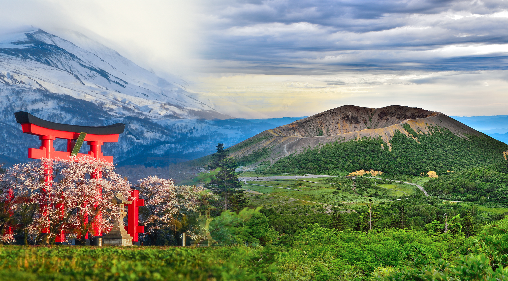
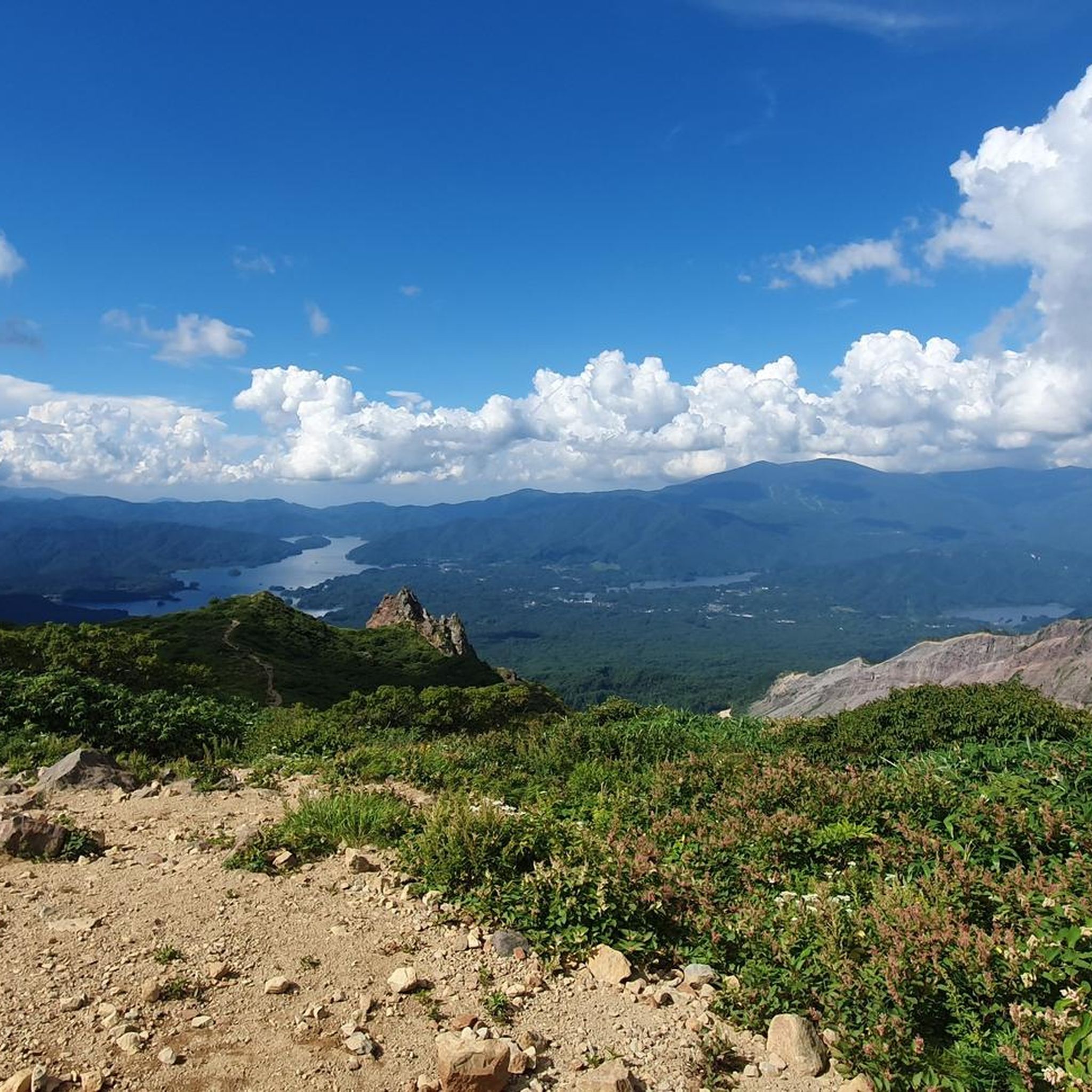
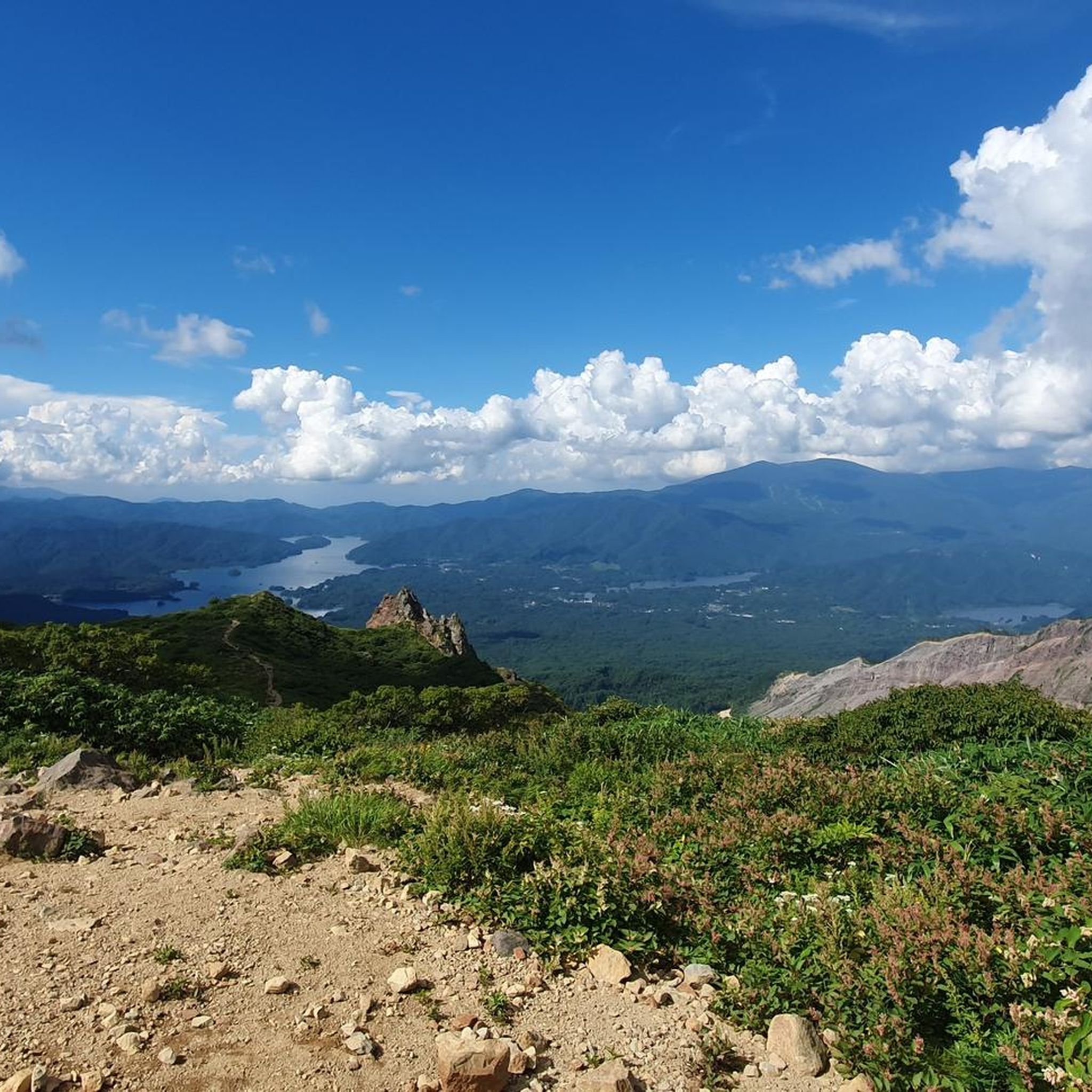
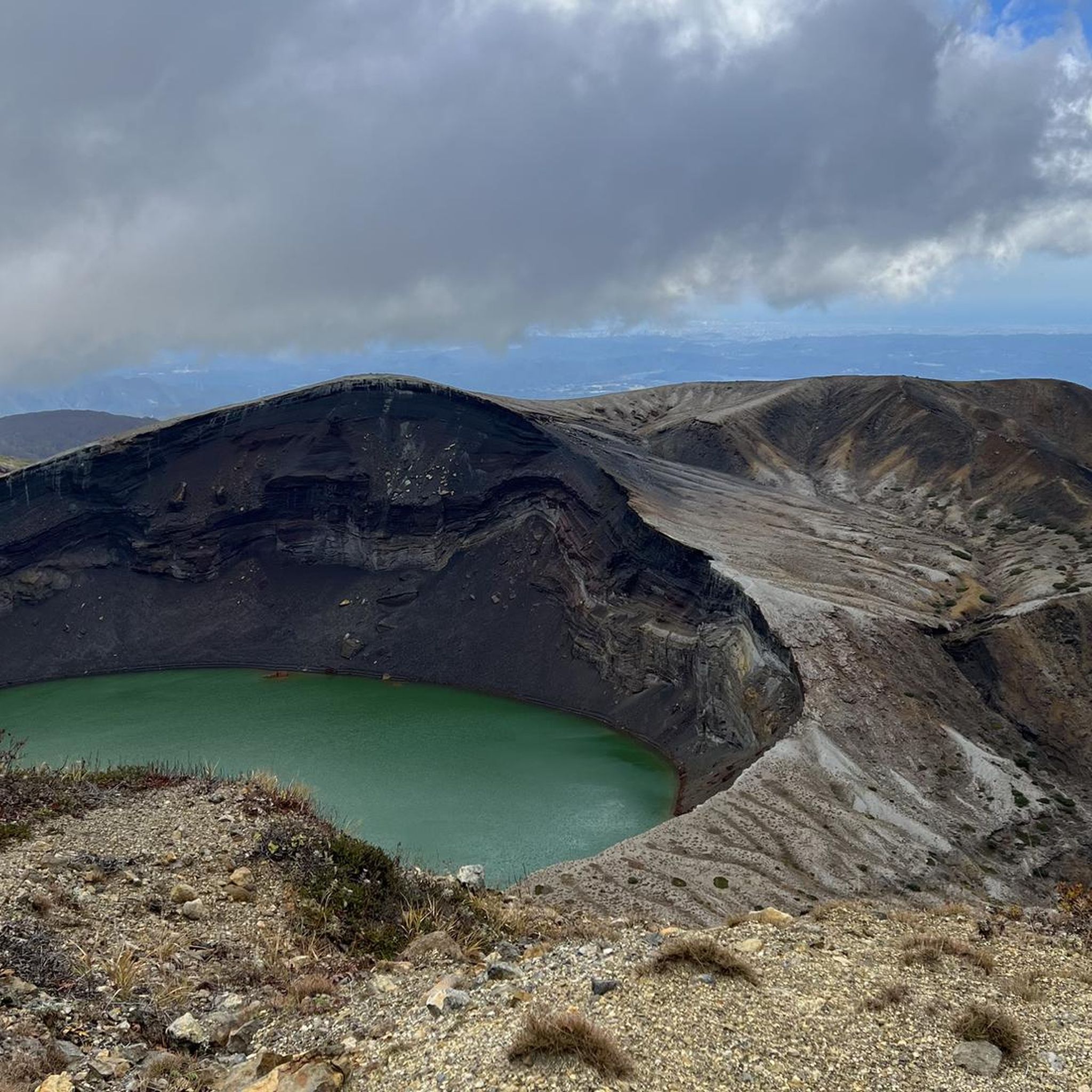

Other adventures in the Ou Mountains

Tips from the Community


This is a nationally important cultural property located in the center of Yamagata City, Yamagata Prefecture. There is a Japanese garden in front of the Western-style building, which retains some of the atmosphere of the time. The garden is lit up from sunset until 9:30pm. If you're in the area, be sure to stop by!
0
0
It is a historic building. It was the former prefectural office and assembly building of Yamagata Prefecture. It is made of brick with neo-baroque wall construction, and the interior has a spacious space reminiscent of a Western church. After being destroyed in a fire in 1911, it was rebuilt in 1916.
0
0


A great patched cycling road along lake Inawashiro, with great views on the lake and Mt. Bandai.
0
0

This is a little off the main road with places to sit. Excellent view! There are no toilets.
0
0
You cannot cycle past this point. There is a toll booth and they will stop you (there are signs that say no bicycles past this point). There are hiking trails, but seems difficult to carry a bike up them.
0
0
You cannot continue past this point on the hiking trail. There is a toilet and parking lot here. You also cannot cycle to the caldera. There is a toll booth and they prevent cyclists from continuing. If you don’t have a car and don’t want to hike without your bike to the top, this is the best place for pictures.
0
0
Frequently Asked Questions
What types of road cycling routes can I find in the Ou Mountains?
The Ou Mountains offer a diverse range of road cycling routes, catering to various skill levels. You'll find everything from easy loops around serene natural springs to difficult, long-distance rides that challenge even experienced cyclists. The region's volcanic origins mean varied terrain, including rewarding climbs and descents.
Are there any easy road cycling routes suitable for beginners or families?
Yes, the Ou Mountains have several easy road cycling routes. For instance, the 潟頭の霊泉 loop from 山のはちみつ屋 駐車場 is an easy 15-mile (24.1 km) route, perfect for a relaxed ride. Another great option is the 潟頭の霊泉 loop from 大沢ミズバショウ園地 駐車場, which is just over 13 miles (21.6 km) and also rated easy.
Where can I find challenging road cycling routes in the Ou Mountains?
For those seeking a challenge, the Ou Mountains deliver with routes featuring significant elevation changes. The Sagae River loop from 羽前高松 is a difficult 57.4-mile (92.5 km) route with substantial climbs. Another demanding option is the Zao Mountain Summit Entrance loop from 茂吉記念館前, a 33.4-mile (53.7 km) ride with over 1500 meters of ascent.
What scenic attractions can I see along the road cycling routes?
The Ou Mountains are rich in natural beauty. Many routes offer views of volcanic peaks and serene lakes. For example, the Lake Inawashiro Cycle Route loop from 上戸 provides continuous vistas of Lake Inawashiro. You can also explore highlights like the Goshikinuma Ponds or the dramatic Oirase Gorge, which has its own dedicated loop route.
Are there any routes that feature waterfalls or unique geological formations?
Yes, the volcanic nature of the Ou Mountains has created stunning features. While specific waterfall routes aren't detailed, the region is known for its diverse topography, including lava plateaus and volcanic rock formations. The View of Sankai Falls – Zao Mountain Summit Entrance loop from 遠刈田温泉本町 suggests a route where you might encounter waterfalls, alongside challenging climbs towards volcanic summits like Zao Mountain Summit Entrance.
What is the best time of year for road cycling in the Ou Mountains?
The Ou Mountains offer seasonal beauty. Spring brings cherry blossoms, particularly around Lake Towada, while autumn transforms the landscape with vibrant golds and coppers, making for stunning rides. The temperate forests, including Japanese beech and birch trees, are beautiful throughout the warmer months. Summer provides pleasant temperatures for cycling, but be mindful of potential heat in lower elevations.
Are most road cycling routes in the Ou Mountains circular loops or point-to-point?
Many of the road cycling routes in the Ou Mountains are designed as circular loops, allowing you to start and end at the same location. Examples include the popular Lake Inawashiro Cycle Route loop from 赤井川 and the challenging 御鼻部山 – 滝ノ沢展望台 loop from ショップオオモリ. This makes planning your ride and logistics more straightforward.
What do other road cyclists say about cycling in the Ou Mountains?
The Ou Mountains are highly rated by the komoot community, with an average score of 4.8 stars from over 20 reviews. Cyclists often praise the region's diverse terrain, from serene lake views to challenging mountain ascents, and the unspoiled natural beauty of the volcanic landscapes and forests.
Are there any specific peaks or summits that can be viewed or accessed by road bike?
While direct road access to all summits may vary, many routes offer panoramic views of prominent volcanic peaks. The Zao Mountain Summit Entrance loop from 茂吉記念館前, for example, takes you towards the Zao Mountain Summit Entrance, providing a challenging climb and likely spectacular vistas of the surrounding mountains.
How long do road cycling routes in the Ou Mountains typically take to complete?
The duration of routes varies significantly based on difficulty and length. Easy routes like the 潟頭の霊泉 loop from 山のはちみつ屋 駐車場 can be completed in about 1 hour 10 minutes. Moderate routes, such as the Roadbike loop from 山形, typically take around 2 hours. More difficult and longer routes, like the Sagae River loop from 羽前高松, can take over 5 hours.
What kind of natural landscapes can I expect to encounter while road cycling here?
The Ou Mountains offer a rich tapestry of natural landscapes. You'll cycle through areas shaped by volcanic activity, featuring rugged terrain, serene caldera lakes like Lake Towada, and lush temperate forests. Expect to see enchanting Japanese beech and birch trees, and potentially unique geothermal areas, providing a dynamic and visually appealing backdrop for your ride.
Most popular attractions in the Ou Mountains

Get inspired with the komoot mobile app


Explore more
Browse the best Road cycling routes in other regions.
