The best road cycling routes around Ottobrunn
4.6
(286)
2,993
riders
54
rides
Road cycling routes around Ottobrunn offer varied terrain, from flat sections along rivers to challenging climbs in the foothills of the Alps. The region is characterized by extensive woodlands like the Hofoldinger Forest and Perlacher Forest, alongside river valleys such as the Isar and Mangfall. Cyclists can expect mostly well-paved paths, with some routes providing significant elevation changes as they approach the Bavarian Alps. This diverse landscape provides options for different fitness levels and ride durations.
Best road cycling routes…
Last updated: October 20, 2026
4.6
(64)
554
riders
Moderate road ride. Good fitness required. Mostly well-paved surfaces and easy to ride.
4.6
(42)
479
riders
48.2km
01:56
170m
170m
Easy road ride. Great for any fitness level. Mostly well-paved surfaces and easy to ride.

4.3
(32)
350
riders
81.5km
03:23
500m
500m
Moderate road ride. Good fitness required. Mostly well-paved surfaces and easy to ride.
4.7
(21)
217
riders
46.4km
01:59
310m
310m
Moderate road ride. Good fitness required. Mostly well-paved surfaces and easy to ride.
4.4
(7)
136
riders
73.1km
03:04
470m
470m
Moderate road ride. Good fitness required. Mostly well-paved surfaces and easy to ride.
Get access to more routes and recommendations from other explorers.
Already have an account?
Our route recommendations are based on thousands of hikes, rides, and runs completed by other people on komoot.
Start today with a free account
Your next adventure awaits.
Tips from the Community

Imposing Catholic pilgrimage church in the small town of Siegertsbrunn. Built originally as a late Gothic church and later managed as a Baroque-style church building.
0
0
Nice roadside cycle path with great asphalt. It runs partly along the road, but also spatially separated through nature.
0
0

2026-10-06: The bridge over the Mangfall at this point no longer exists (there are only pipes). I don't know if it will be restored after the construction work is completed. In any case, you can no longer cross the Mangfall here.
0
0

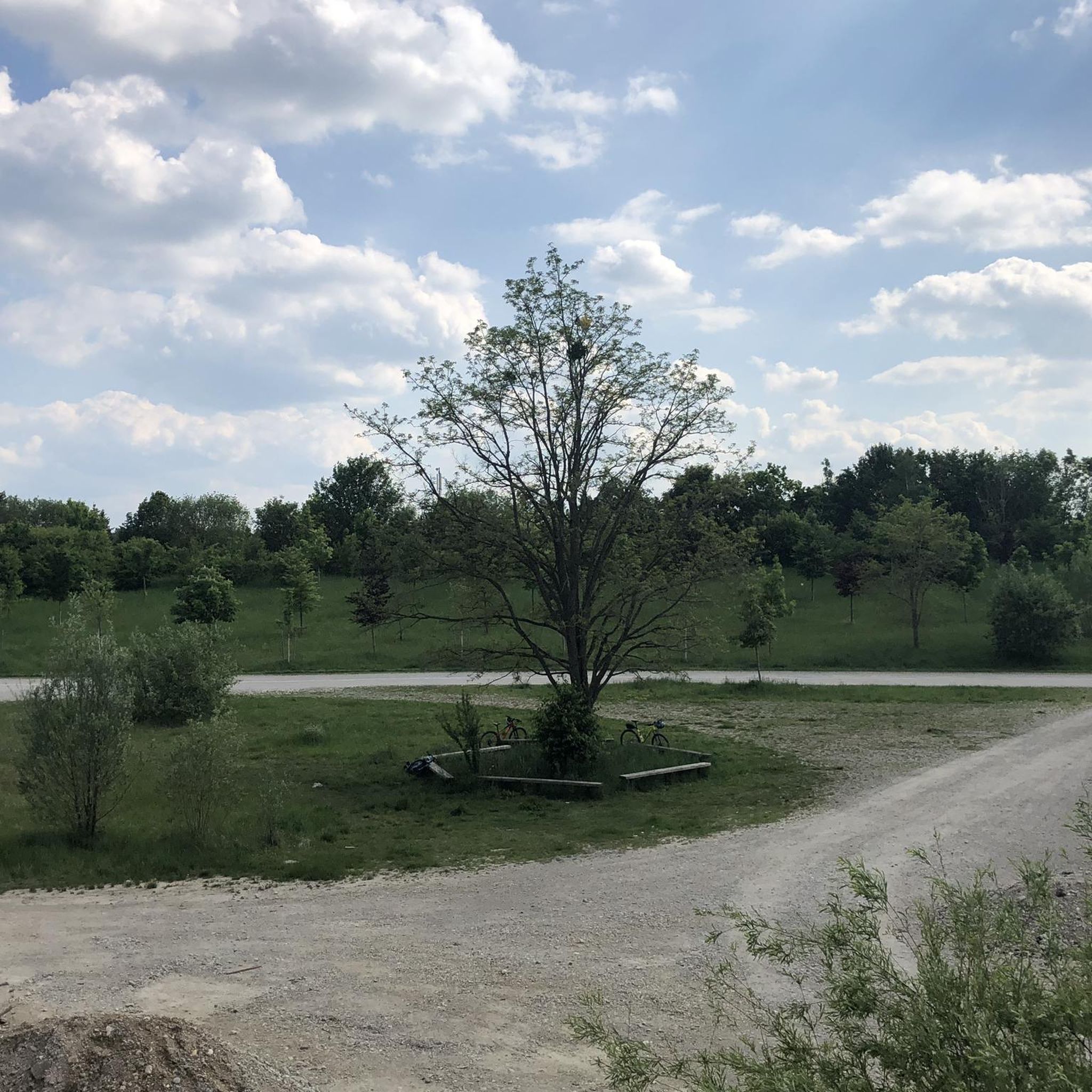
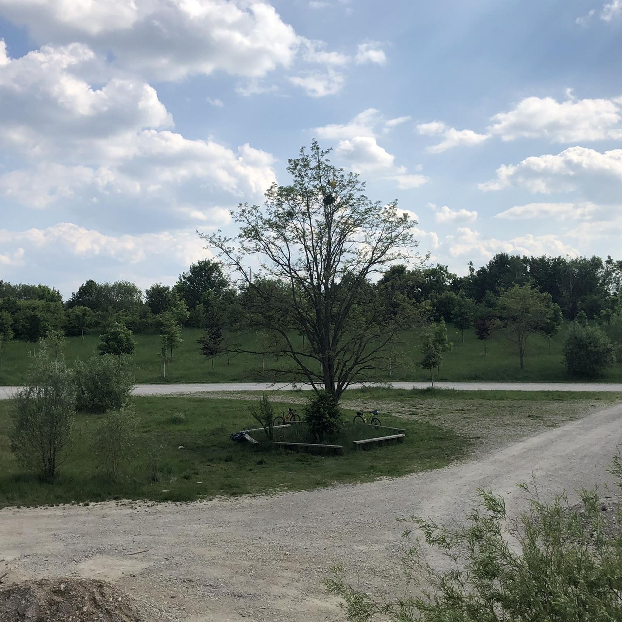
Fast section. But it's always gloomy in the forest, better to have a light with you, or at least a white helmet ;)
0
0
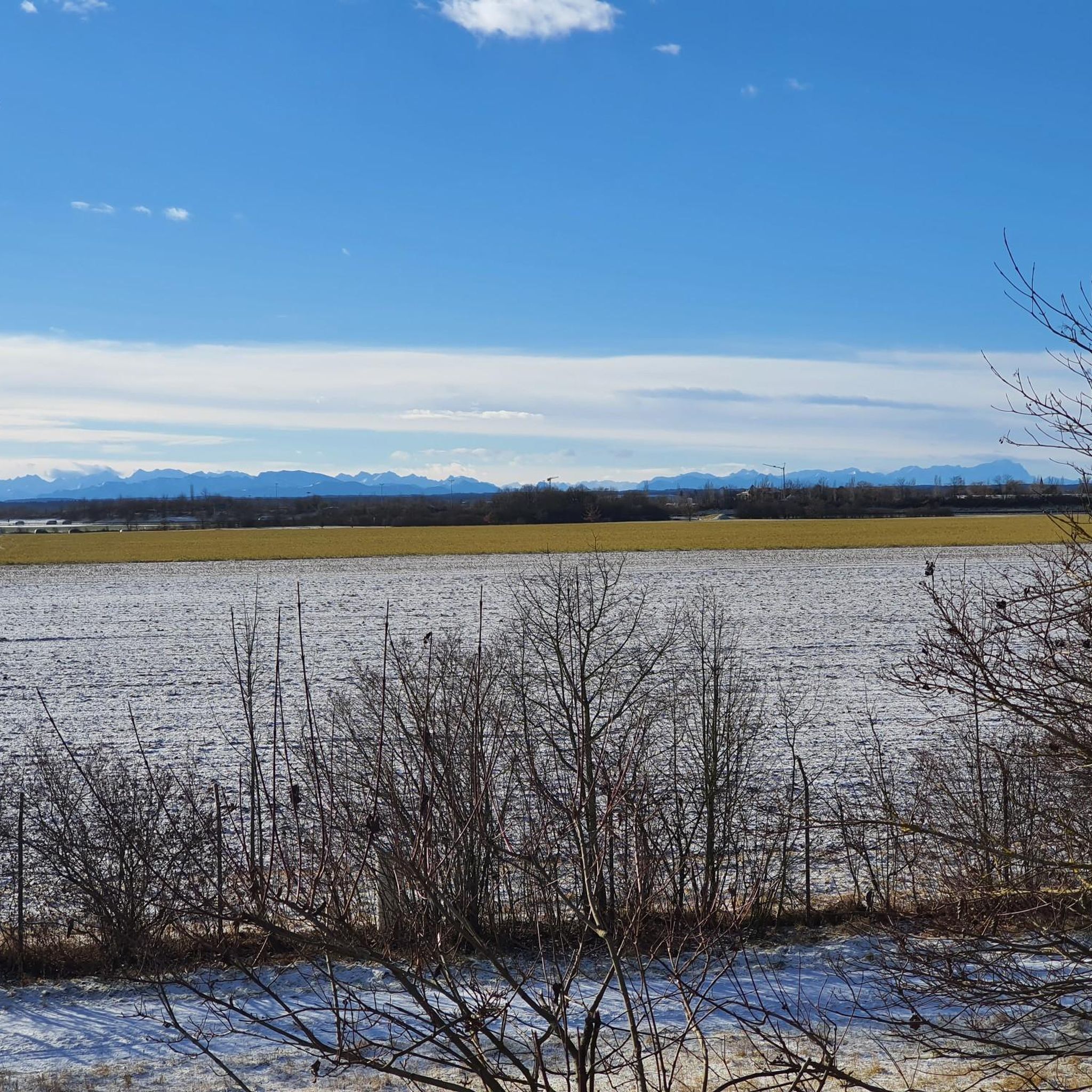
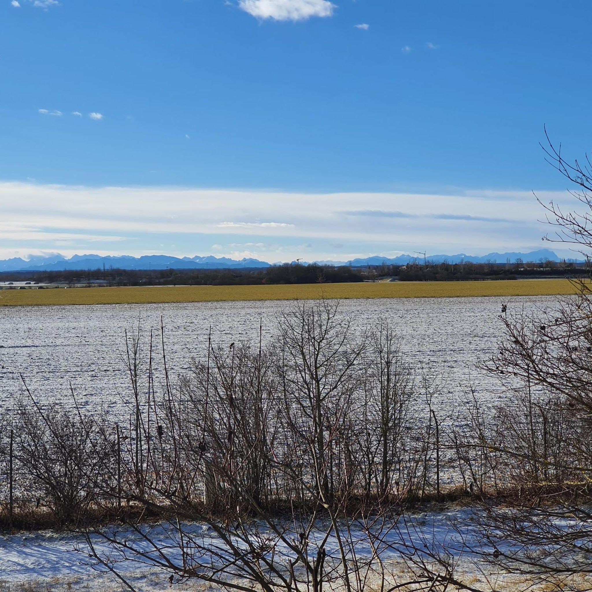
Beautiful fields and hills. Like a picture book.
0
0

Beautiful and quiet uphill section!
0
0


beautiful view from the sledding hill
0
0
Frequently Asked Questions
What kind of terrain can I expect on road cycling routes around Ottobrunn?
The region around Ottobrunn offers a diverse range of terrain for road cyclists. You'll find everything from mostly flat sections along river valleys like the Isar and Mangfall, to more challenging routes with significant elevation changes as you approach the foothills of the Bavarian Alps. Many paths are well-paved, ensuring a smooth ride.
Are there road cycling routes suitable for beginners in Ottobrunn?
Yes, Ottobrunn offers several easy road cycling routes perfect for beginners or those looking for a relaxed ride. For example, the Hofoldinger Forest Road loop from Ottobrunn is an easy 48.2 km path that provides a smooth ride through the forest. Another option is the Cycle Path Near Egmating – Dürrnhaar–Egmating Road loop from Ottobrunn, which is 32.1 km long and also rated as easy.
Where can I find routes with scenic views of the Alps near Ottobrunn?
Many cycling paths south of Munich, in areas like the district of Dietramszell and near Alxing, provide stunning panoramic views of the Alps. While specific routes are not listed here, you can explore tours that head south from Ottobrunn to discover these impressive vistas.
What are some notable natural features or attractions I can see along road cycling routes?
The area boasts extensive woodlands like the Hofoldinger Forest and Perlacher Forest, as well as river valleys such as the Isar and Mangfall. You can also cycle past the Großhesseloher Bridge offering great views over the Isar valley, or explore the Perlacher Forst Bike Path. The region is also dotted with several lakes, providing impressive panoramas.
Are there any historical landmarks or castles accessible by road bike from Ottobrunn?
While Ottobrunn Castle itself can be a pleasant stop, the wider region offers historical sites. For instance, you could plan a route that passes by Schwaneck Castle or Laufzorn Castle, which are within cycling distance and add a cultural element to your ride.
What is the best time of year for road cycling in Ottobrunn?
The best seasons for road cycling in Ottobrunn are spring, summer, and autumn. During these months, you can generally expect pleasant temperatures and dry weather conditions, which are ideal for enjoying the varied terrain and scenic routes.
Are there any circular road cycling routes available from Ottobrunn?
Yes, many of the road cycling routes around Ottobrunn are designed as loops, allowing you to start and end in the same location. Examples include the Scenic Country Roads of Reisenthal – Hofoldinger Forest Road loop from Ottobrunn and the Hofoldinger Forest Road – Mangfall River at Mühlthal loop from Ottobrunn, which are popular choices among local cyclists.
Can I find places to stop for refreshments or food along the road cycling routes?
Absolutely. The area around Ottobrunn, especially near the Perlacher Forst and other popular routes, features numerous beer gardens. These provide excellent opportunities for cyclists to take a break, refuel, and enjoy local refreshments.
How long do road cycling routes near Ottobrunn typically take to complete?
The duration of road cycling routes varies significantly based on length and difficulty. You can find shorter, easy routes like the 32.1 km Cycle Path Near Egmating – Dürrnhaar–Egmating Road loop from Ottobrunn, which takes about 1 hour 18 minutes. Longer, moderate routes, such as the 81.6 km Hofoldinger Forest Road – Mangfall River at Mühlthal loop from Ottobrunn, can take around 3 hours 23 minutes.
What do other road cyclists enjoy most about road cycling in Ottobrunn?
The road cycling routes in Ottobrunn are highly rated by the komoot community, with an average score of 4.7 stars from over 200 reviews. Cyclists often praise the varied terrain, the well-paved paths, and the beautiful natural landscapes, particularly the extensive forests and scenic river valleys.
Are there any challenging road cycling routes for advanced riders near Ottobrunn?
Yes, for ambitious riders, Ottobrunn's proximity to the Bavarian Alps provides access to challenging mountain roads. While specific routes are not detailed here, you can find options with significant climbs and impressive natural scenery, allowing you to test your climbing abilities in the foothills of the Alps.
Is it possible to access road cycling routes using public transport in Ottobrunn?
Ottobrunn is well-connected to Munich's public transport network, making it a convenient starting point for cycling tours. While specific public transport options for bikes vary, the good connectivity allows cyclists to reach the area and begin their rides easily.
Most popular routes around Ottobrunn
Most popular attractions around Ottobrunn

Get inspired with the komoot mobile app


Explore more
Browse the best Road cycling routes in other regions.
