The best walks and hikes around Ottnang am Hausruck
4.6
(1652)
10,334
hikers
36
hikes
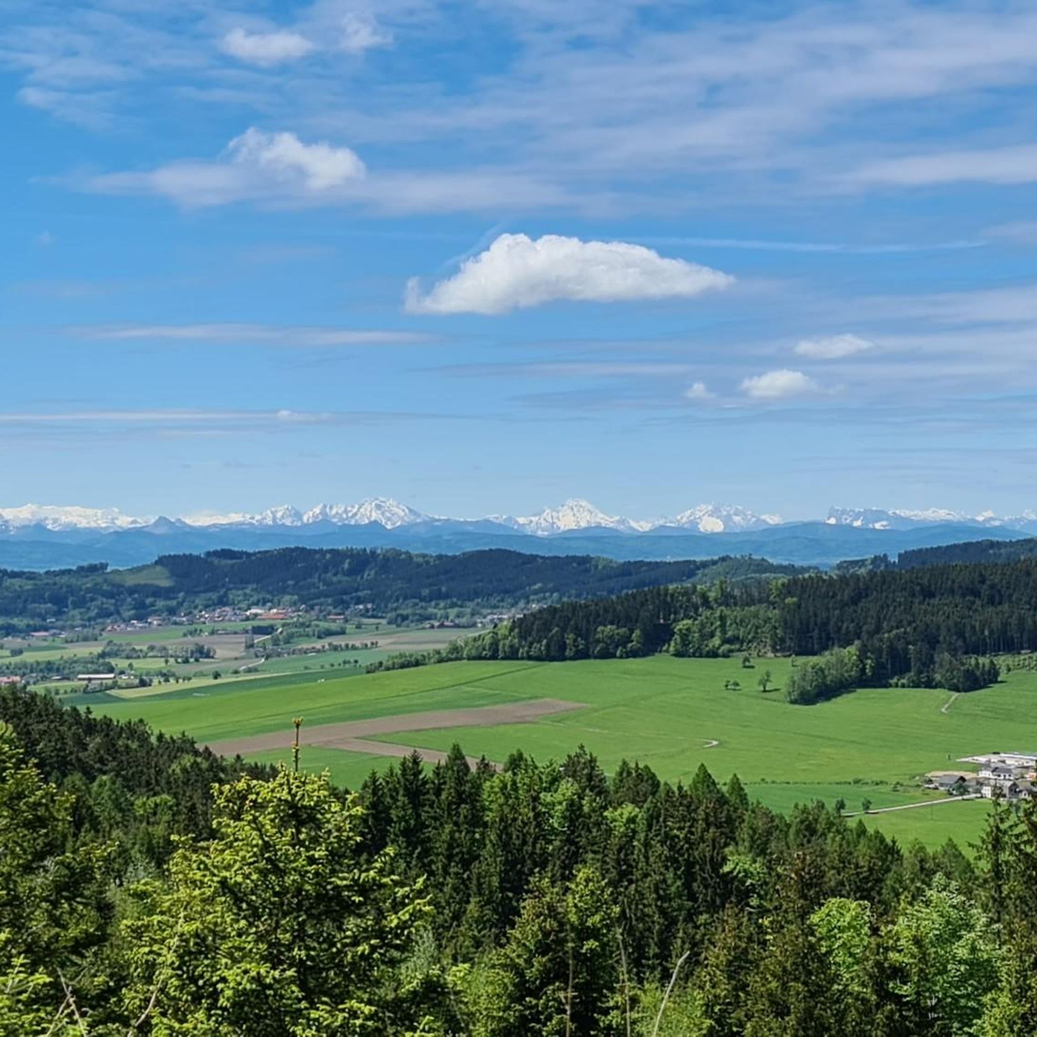
Hiking around Ottnang am Hausruck offers diverse natural features within the Vöcklabruck district of Upper Austria, where the Innviertel, Salzkammergut, and Traunviertel regions converge. The area is characterized by its charming hilly landscapes, extensive Hausruckwald forest, and tranquil spots like the Hausrucker See. Elevations such as the Wiedhackkreuz (753 meters) and Lederer Kopf provide viewpoints and define the terrain.
Best hiking trails in Ottnang am Hausruck
- The most popular hiking route is Dietinger Bench – Two-sided viewpoint loop from Bergern…
Last updated: July 11, 2026
4.5
(17)
76
hikers
15.4km
04:24
360m
360m
Moderate hike. Good fitness required. Easily-accessible paths. Suitable for all skill levels.
4.5
(6)
36
hikers
Moderate hike. Good fitness required. Easily-accessible paths. Suitable for all skill levels.

Sign up for free
5.0
(3)
38
hikers
15.1km
04:20
350m
350m
Moderate hike. Good fitness required. Easily-accessible paths. Suitable for all skill levels.
4.9
(11)
19
hikers
Moderate hike. Good fitness required. Easily-accessible paths. Suitable for all skill levels.
5.0
(3)
19
hikers
9.41km
02:37
170m
170m
Moderate hike. Good fitness required. Easily-accessible paths. Suitable for all skill levels.
Get access to more routes and recommendations from other explorers.
Sign up for free
Already have an account?
Our route recommendations are based on thousands of hikes, rides, and runs completed by other people on komoot.
Start today with a free account
Your next adventure awaits.
Login or Signup
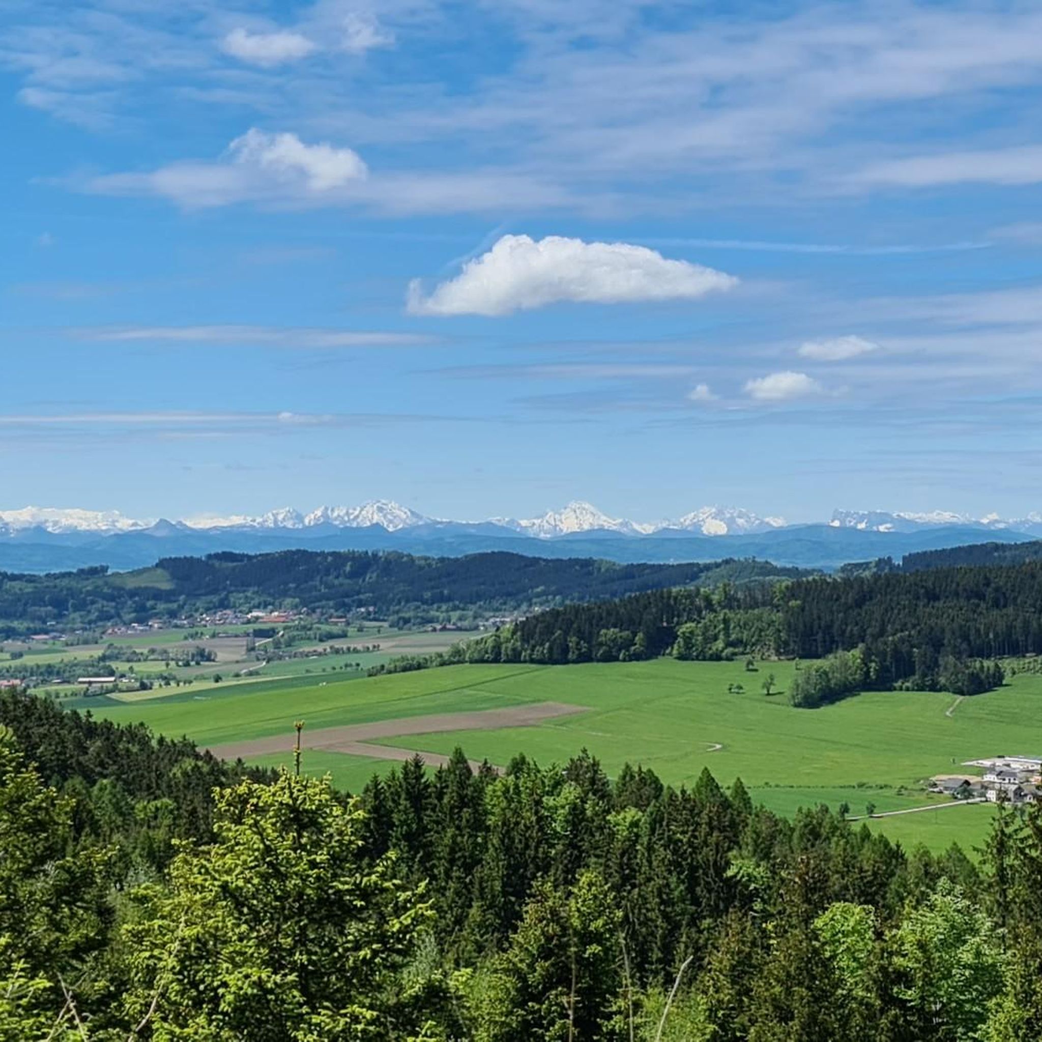
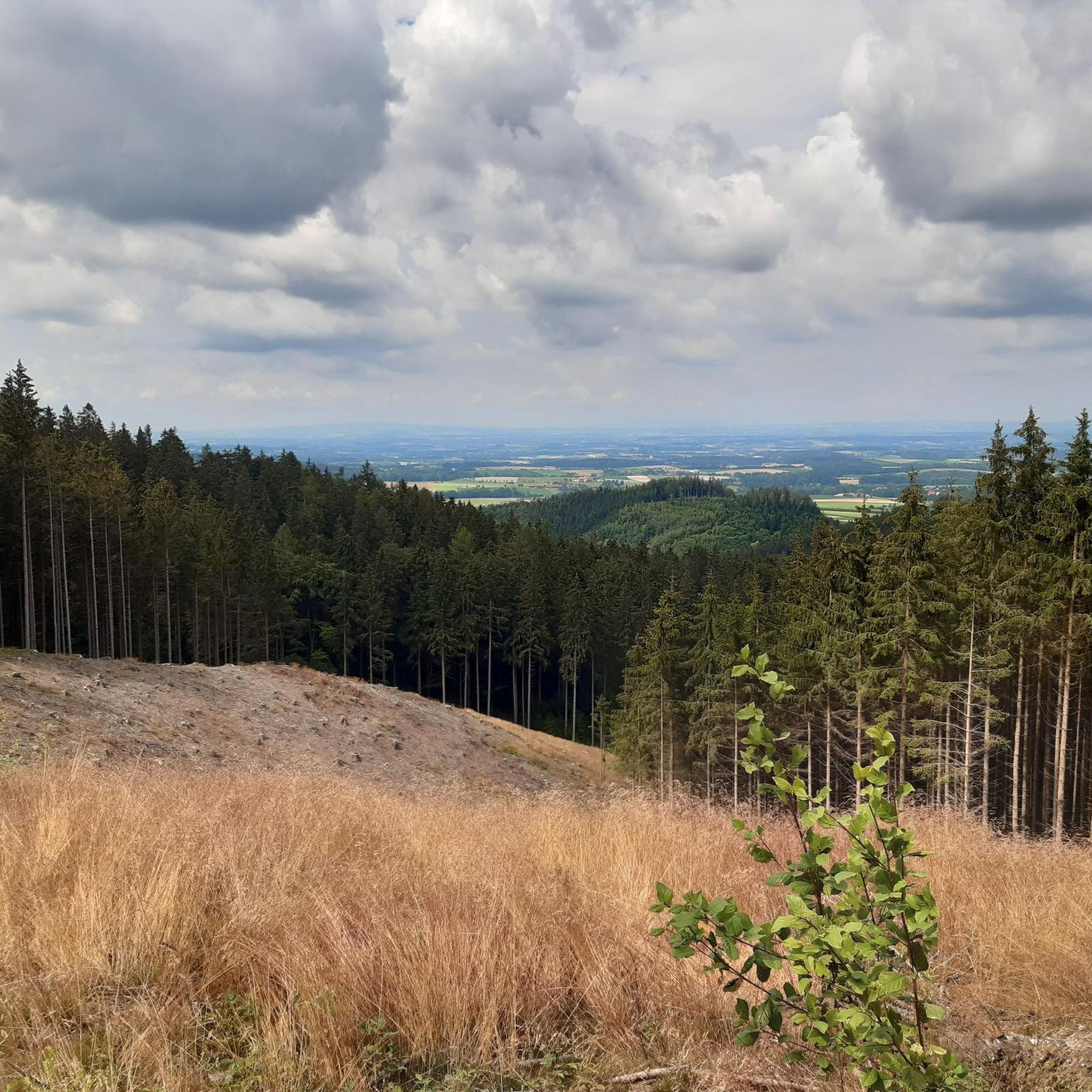
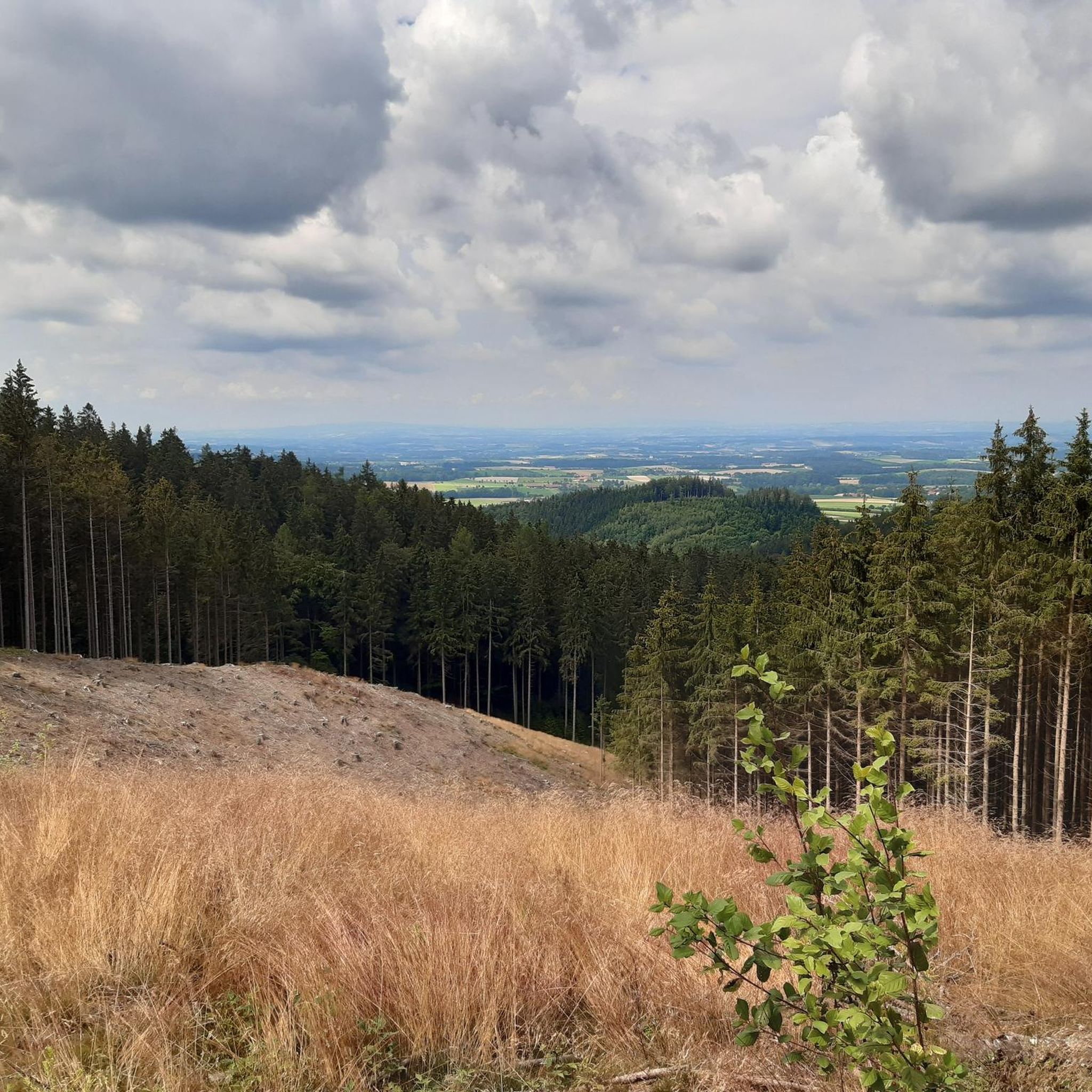
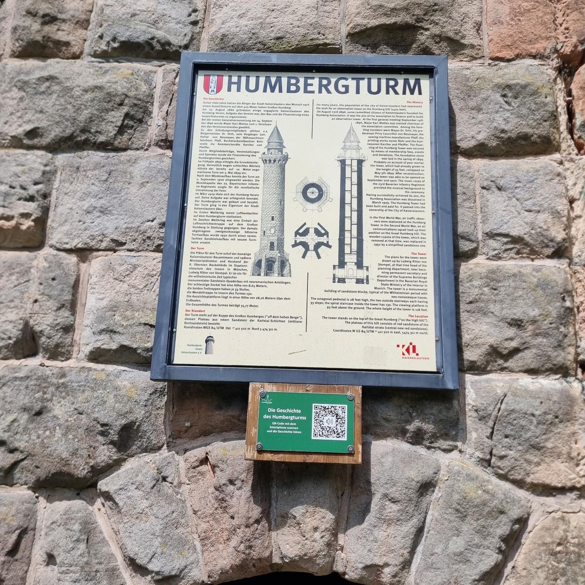
Tips from the Community


If you are looking for the ultimate view you will unfortunately not find it but it is still beautiful here.
5
0
There is a small trail down from the Lederer Kopf which is fun but nothing special and the view at the top is unfortunately not that special either.
5
0

The Marienberg is marked with signs on both sides of the hiking trail, but there is actually nothing to see except trees. But it is still a beautiful place and the highest point.
1
0

thank's for the Tipps
2
0
Great tips and information to make you want to visit this place. Thank you for that!
4
1

Interesting perspectives that you can see there.😉👍🏻
1
0

It's a wide forest path - not a single track. However, there are some Very coarse gravel in the steep sections of the path - so caution doesn't hurt.
0
0
Frequently Asked Questions
What kind of terrain can I expect on hiking trails around Ottnang am Hausruck?
The hiking trails in Ottnang am Hausruck are primarily characterized by rolling hills and extensive wooded areas, particularly within the scenic Hausruckwald forest. You'll find paths that offer impressive views of the Alpine foothills, especially along routes like the 'Panoramaweg'. The region's unique geological history, formed from ancient river gravel, contributes to its diverse and engaging natural surroundings.
Are there many hiking routes available in Ottnang am Hausruck?
Yes, Ottnang am Hausruck offers a wide selection of hiking routes. There are over 35 routes available, catering to various fitness levels. This includes 12 easy trails, 22 moderate options, and a few more challenging routes for experienced hikers.
Are there any family-friendly hiking options in Ottnang am Hausruck?
Absolutely. The region features several paths suitable for families, including routes that lead to the Pettenfirst Hut. This hut is accessible via family-friendly paths, including a 'children's forest' route, making it a great destination for a day out with kids.
Can I find circular hiking routes in Ottnang am Hausruck?
Yes, many of the hiking trails in Ottnang am Hausruck are designed as circular routes, allowing you to start and end at the same point. An example is the Wolfsegg Mountain Panorama – Wolfsegg 19% Climb loop from Ottnang am Hausruck, which offers a varied experience without retracing your steps.
What are some notable natural landmarks or viewpoints to discover while hiking?
Ottnang am Hausruck boasts several natural landmarks and viewpoints. The Lederer Kopf Summit is a popular destination offering a nice viewpoint and a summit book. You can also find a tranquil Forest Spring and Picnic Area within the Hausruckwald, perfect for a refreshing break.
Are there any historical sites or castles along the hiking trails?
Yes, the region combines natural beauty with historical interest. You can find routes that pass by historical sights such as Wolfsegg Castle. The Wolfsegg Castle – Mother of Good Counsel Shrine loop from Ottnang am Hausruck is a great example, leading through both historical sites and natural surroundings.
Are there places to eat or rest along the hiking trails?
Yes, you'll find opportunities for refreshment and rest. The Pettenfirst Hut, located on a southern spur of the Hausruck, offers a cozy stop with down-to-earth cuisine. Additionally, a lovingly designed Forest Spring and Picnic Area provides a tranquil spot for a break.
What do other hikers say about the trails in Ottnang am Hausruck?
The hiking routes in Ottnang am Hausruck are highly regarded by the komoot community, holding an average rating of 4.7 stars from over 900 reviews. More than 6,500 hikers have explored the varied terrain, often praising the scenic viewpoints and the diverse natural features.
Are there any trails that offer expansive views of the surrounding landscape?
Many trails in Ottnang am Hausruck provide impressive vistas. The Dietinger Bench – Two-sided viewpoint loop from Bergern is a popular route known for its expansive views from elevated points, allowing you to take in the beauty of the Alpine foothills and the Hausruckwald.
What is the highest point I can reach on a hike in Ottnang am Hausruck?
The highest elevation within the municipality of Ottnang is the Wiedhackkreuz, standing at 753 meters. This is a significant natural landmark and a popular destination for hikers seeking panoramic views.
Are there any themed trails in the area?
Yes, Ottnang am Hausruck also features themed trails. For instance, there's a 5 km long hiking and cycling path between Thomasroith and Holzleithen that includes 26 display boards providing information about the region's mining history, offering an educational aspect to your hike.
Most popular routes around Ottnang am Hausruck
Most popular attractions around Ottnang am Hausruck

Get inspired with the komoot mobile app


Explore more
Browse the best Hikes in other regions.
